Best Motorcycle Rides in North Carolina – A sport bike loop ride
When I’m looking for a “dragon like” challenge close to home, this 90 mile loop satisfies every time!
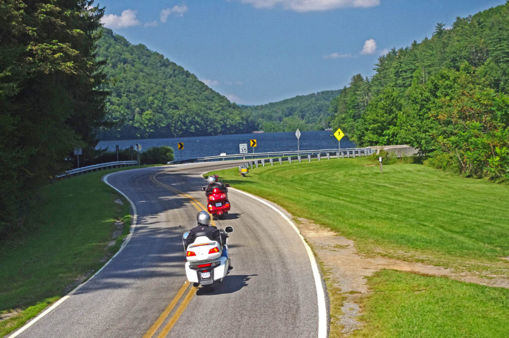
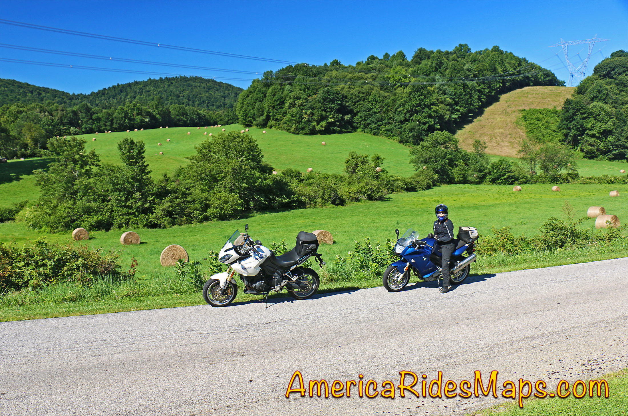
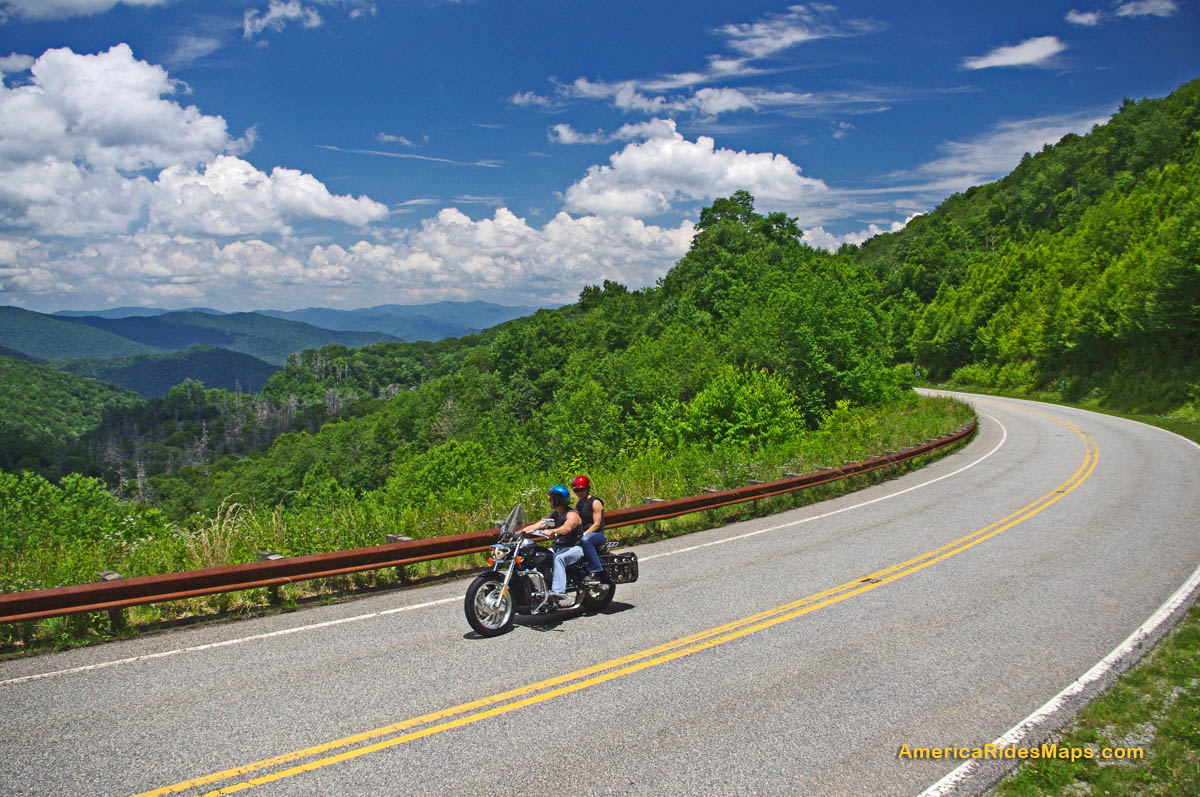
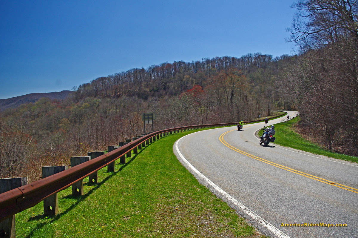
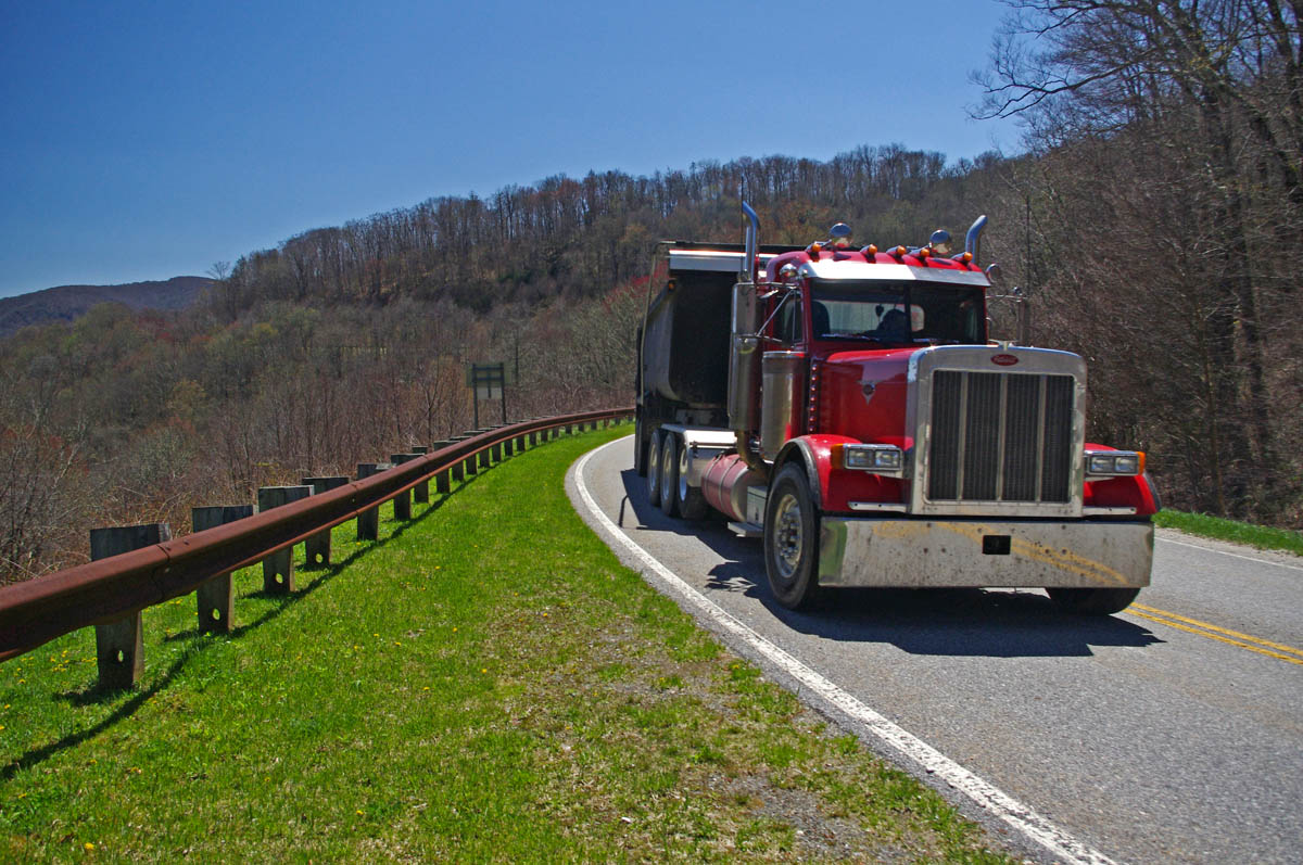
Section of NC 215 near Lake Logan. You’ll find some nice scenery on the popular road. The curves so far are just a warm up for what lies ahead.
As much as I enjoy a ride on the infamous Tail of the Dragon at Deals Gap, it’s a bit of a ride to get out to it from the Waynesville / Maggie Valley area where I live. Fortunately, there are ample challenging roads nearby, and when I really want a peg-scraping ride, this is one of my favorite local loops. For those on sport bikes, it’s a must-do when you are in the area.
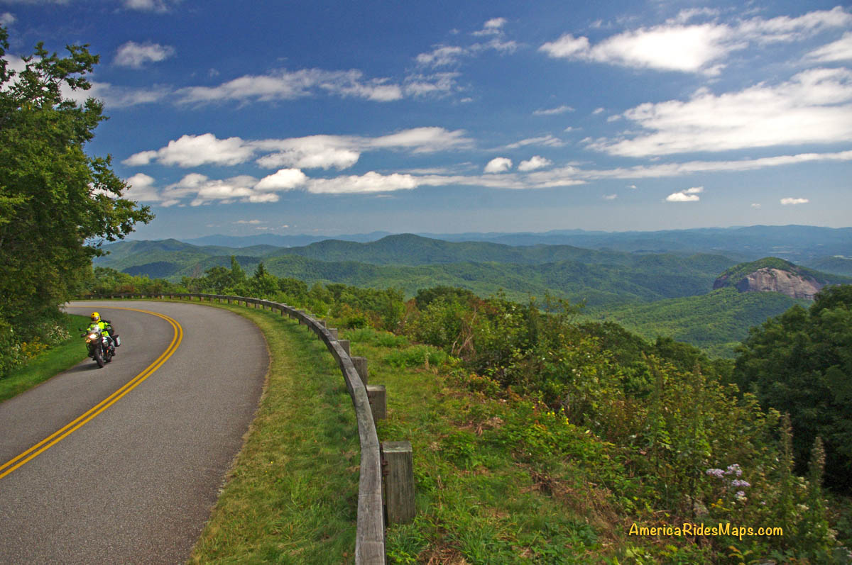
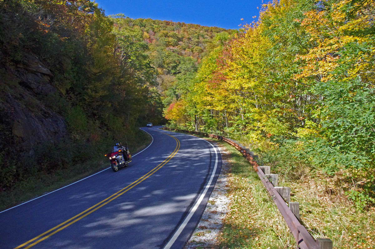
The higher you go the better it gets on NC 215. The road crests where it meets the Blue Ridge Parkway, then plunges down the other side of the gap.
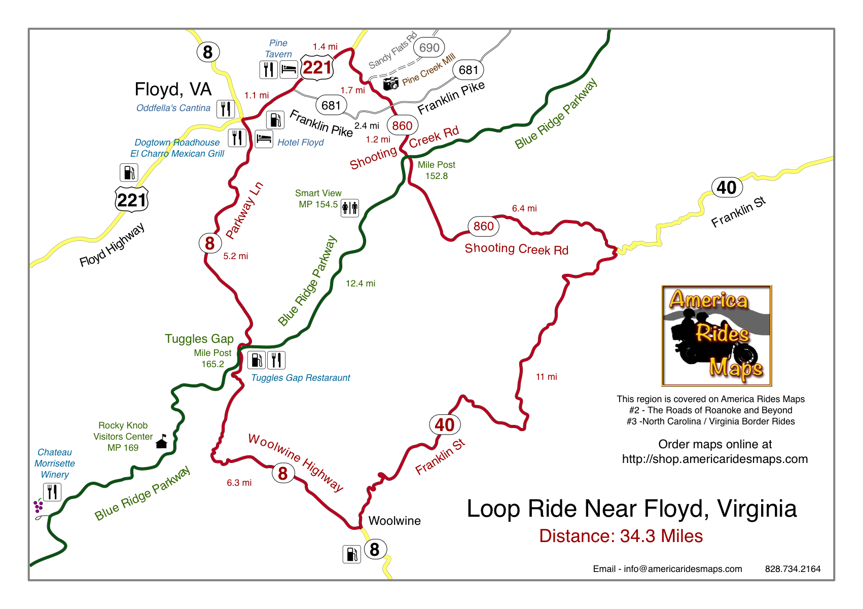
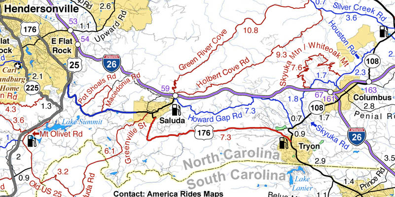
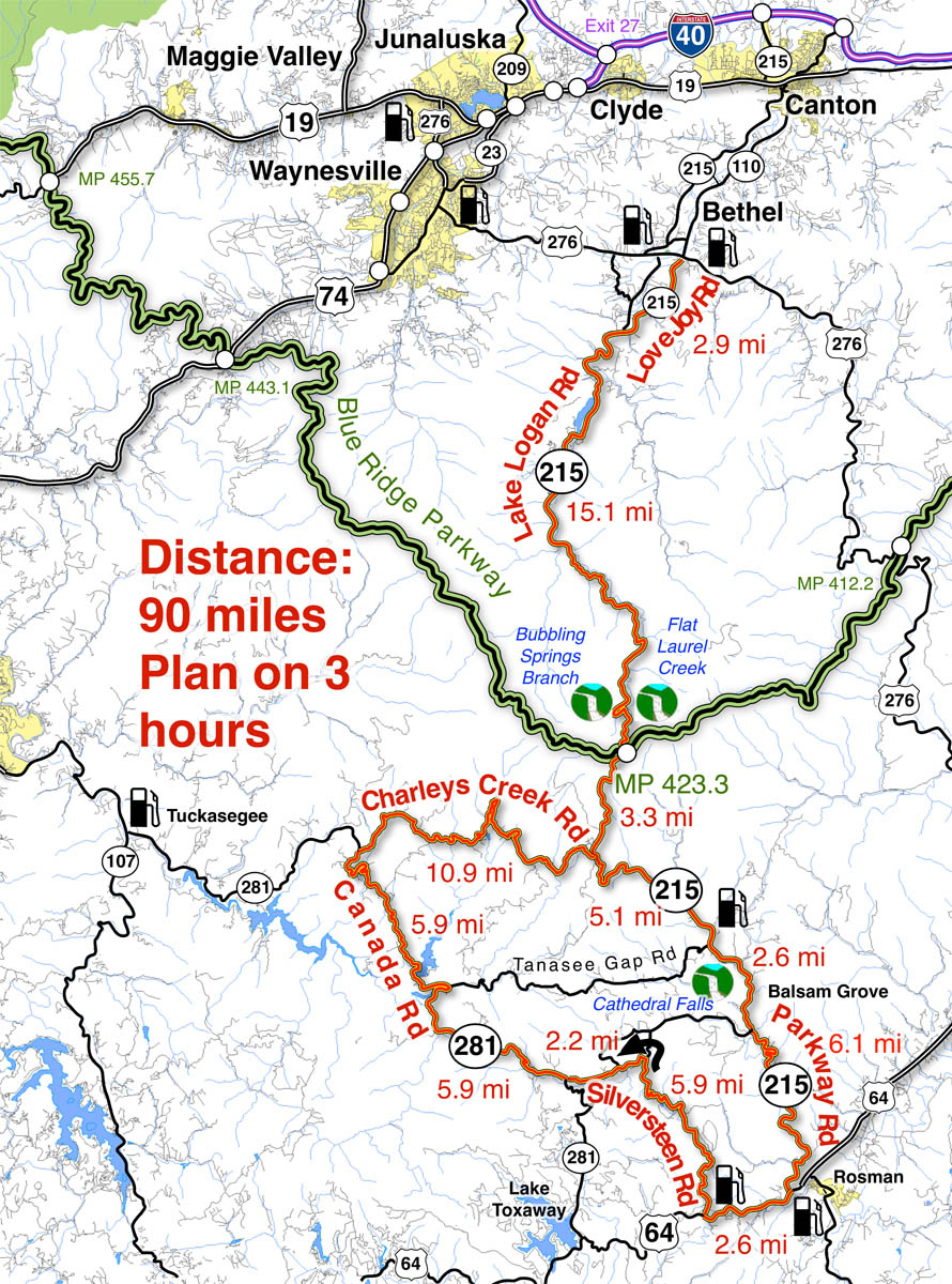
The map originates in the small crossroads town of Bethel, NC south of Waynesville, Canton, Maggie Valley, and Junaluska. It can also be done as a side loop off the Blue Ridge Parkway (exit at Beech Gap, MP 423.3, NC 215 – cuts 36 miles off the route).

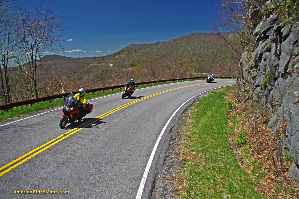
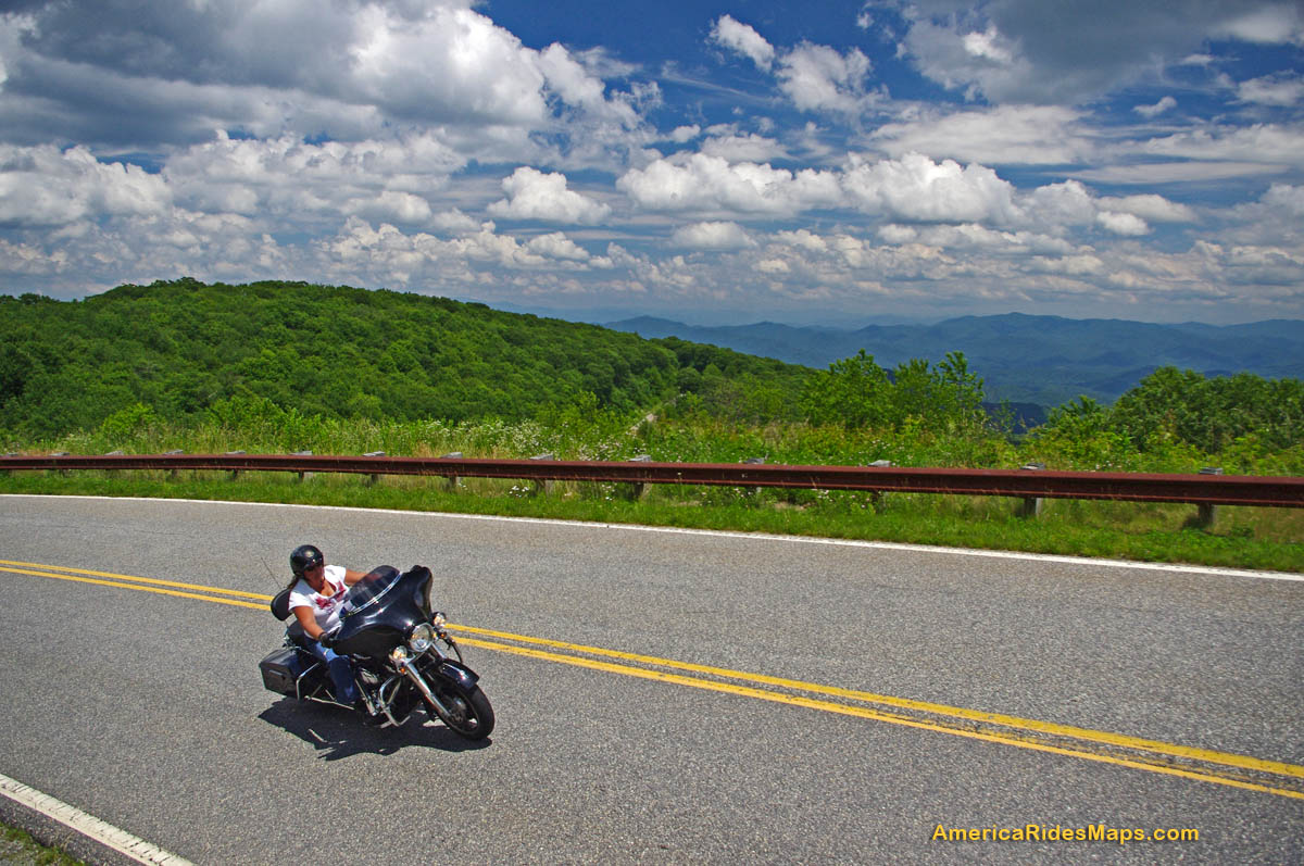
The curves continue as you descend from the Blue Ridge Parkway with a brief break when you enter a valley. The curves that follow really kick it up!
______________________________________________________________________
Length: 90 miles plus your ride to the start in Bethel, NC.
Ride time: 3-4 hours
Difficulty: Very challenging, tight curves, climbs and descents, sustained, varied road surfaces, all paved
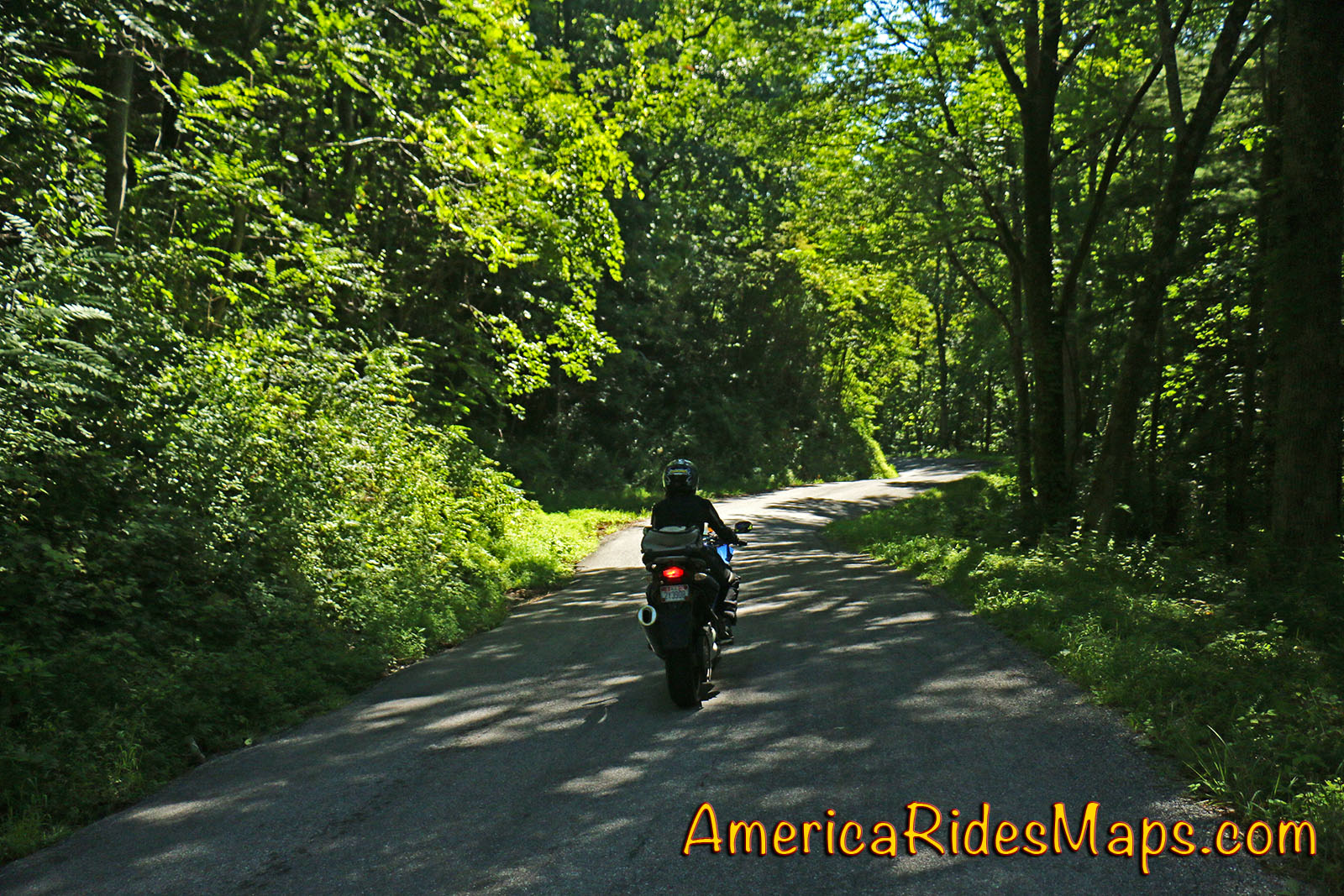
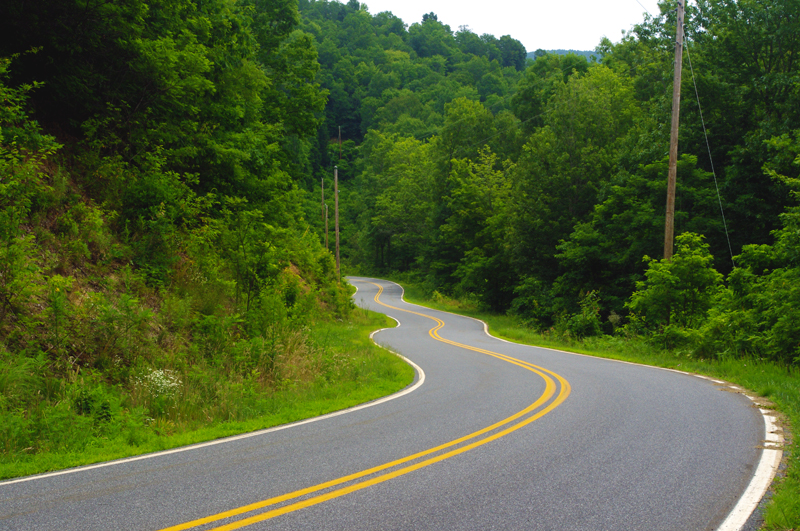
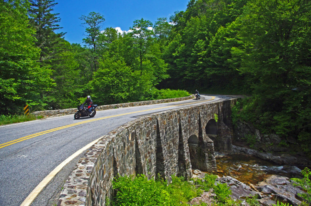
Imagine miles and miles of curves like this one – a.k.a. Silversteen Road
Turn-by-turn route description:
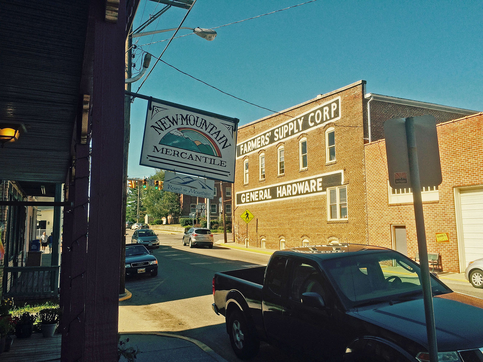
Start at traffic light in Bethel (junction US 276, NC 215, NC 110).
Follow NC 215 – starts as Love Joy Road. Easy section through farmland along river with a few sharp turns.
2.9 mi – Turn left @ stop sign to continue on NC 215. Junction Love Joy Road and Lake Logan Rd (NC 215). Moderately difficult. Rolls through houses, some nice curves, section along Lake Logan very nice.
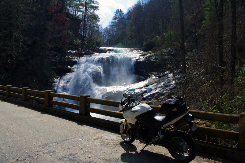
16.8 mi – Pass Sunburst Campground. Enter Pisgah National Forest. Start climb to Blue Ridge Parkway. Road gets more twisty here. Nice stop at a roadside waterfall. Beware loose gravel on road, especially in turns, most likely to be found in the highest sections. Difficult.
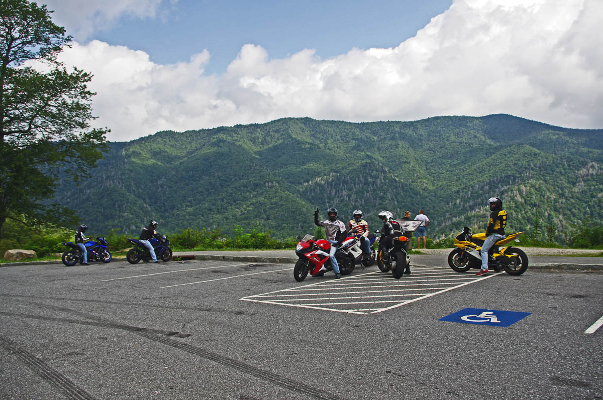
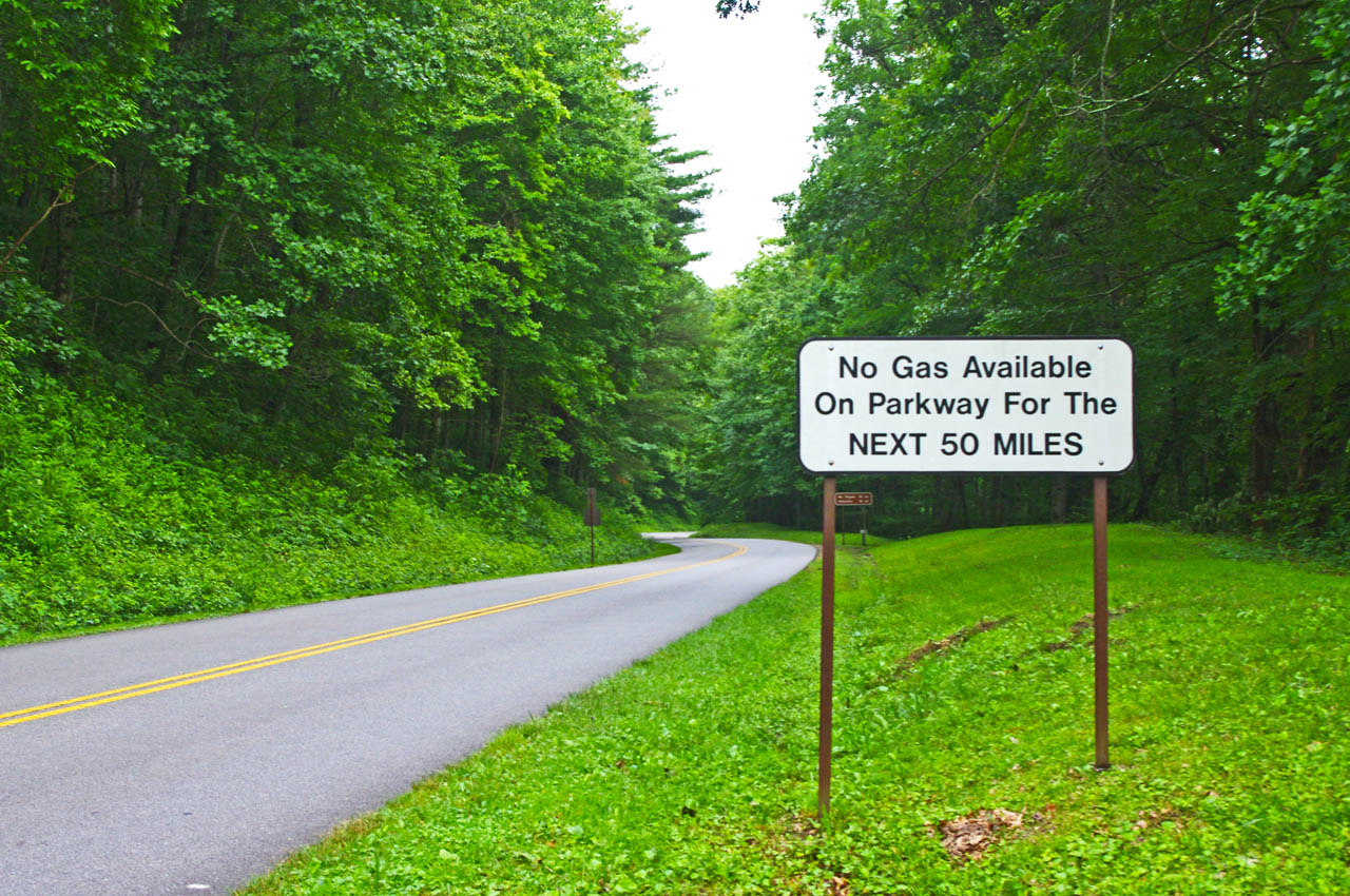
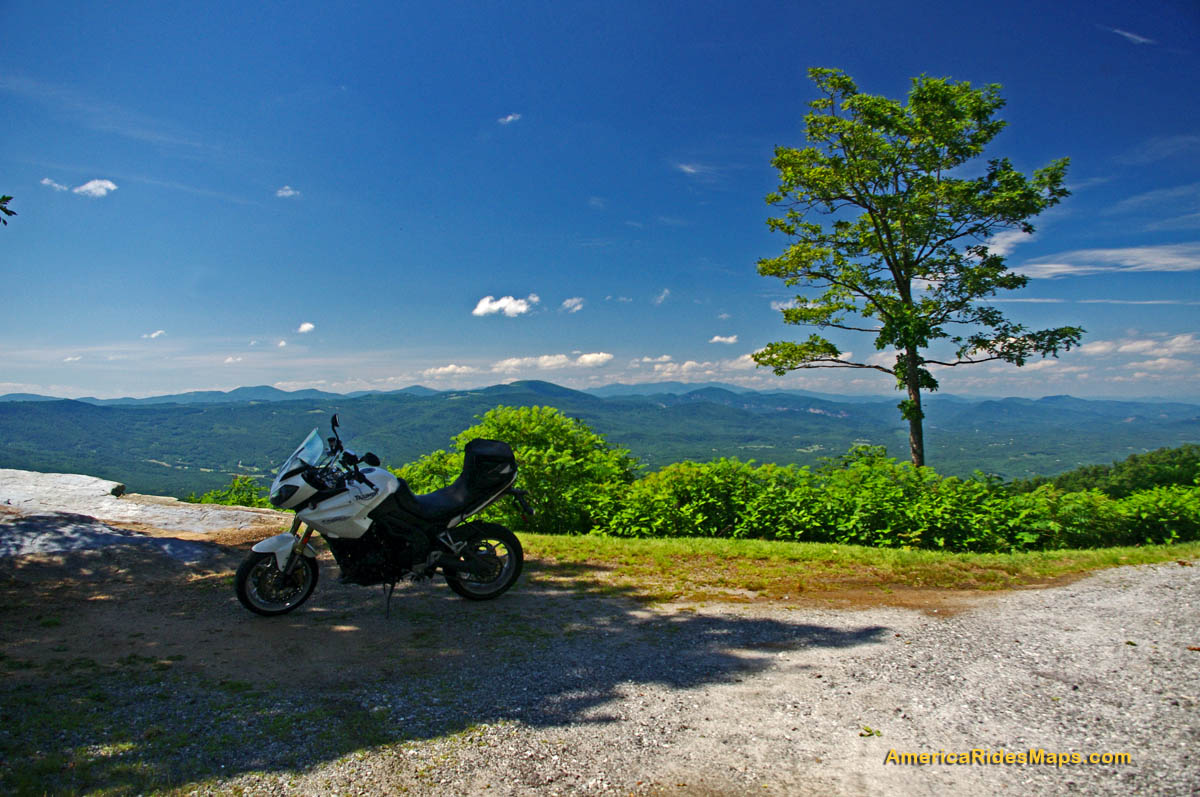
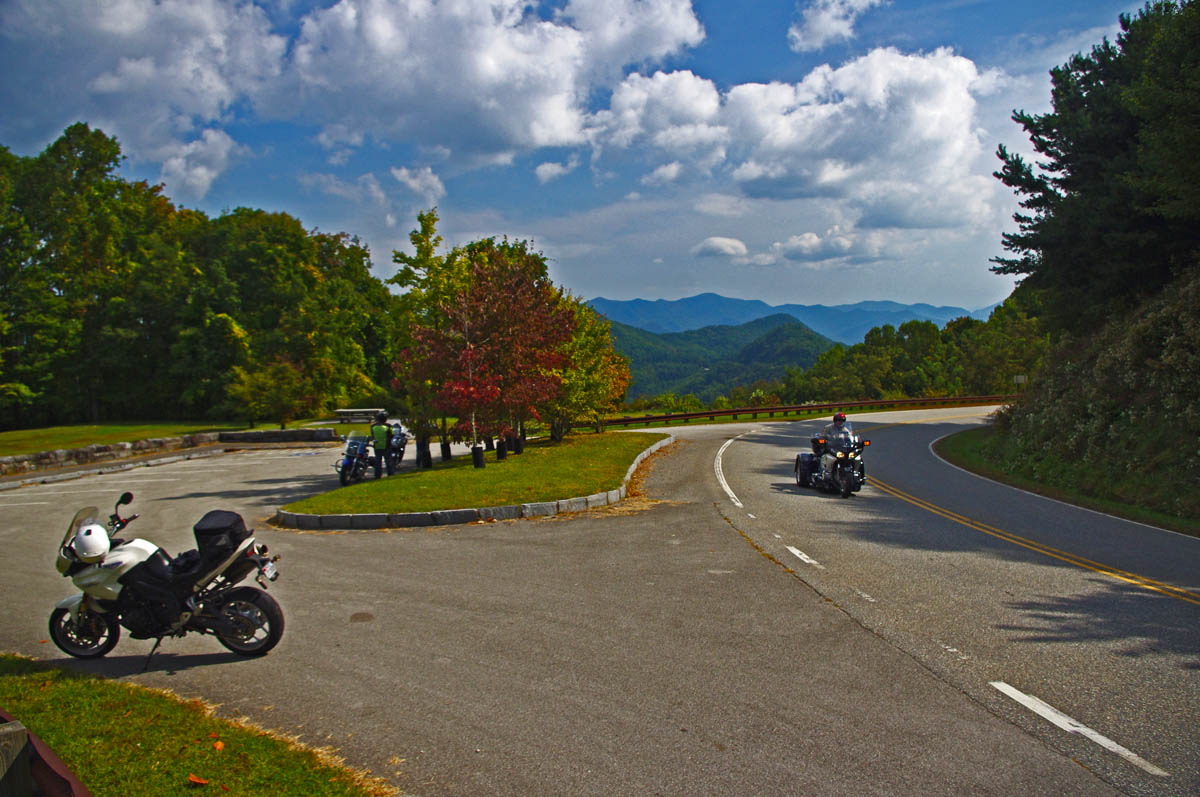
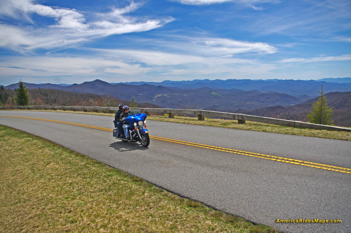
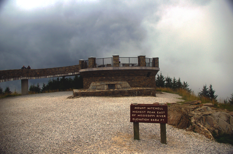
17.9 mi – Pass Blue Ridge Parkway ramp. Popular break spot, if not at the junction, go up to the parkway and turn right to reach a nearby overlook with lots of parking. Continue under the parkway on NC 215. Good views from the highest section. Road surface improves south of parkway. Difficult.
35 mi – Turn right @ stop sign onto US 64. Junction NC 215 (Parkway Road) and US 64. Just a short section on this sometimes busy road. Easy.

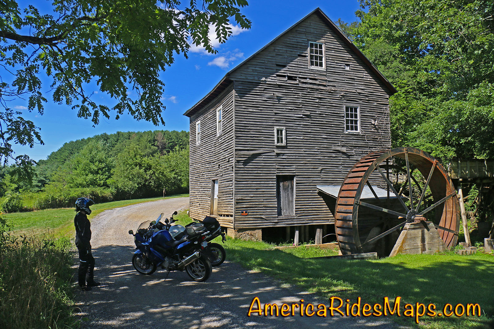
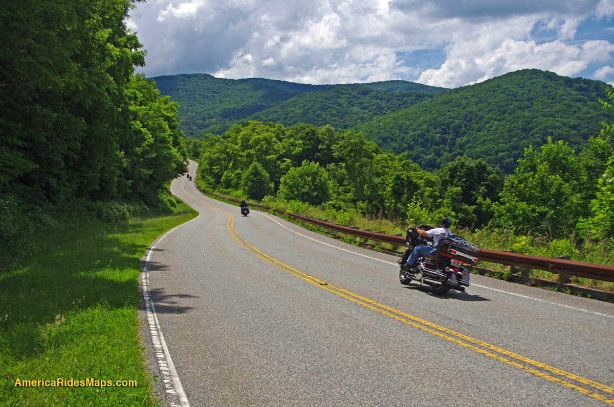
Charlie’s Creek Rd – typical of the wonderfully empty and inviting rides that abound in the Smokies
37.7 mi – Turn right onto Silversteen Road. Junction US 64 and Sliversteeen Rd. Sign warns of tight turns ahead, believe it! Difficult.
38.3 mi – Keep right on Silversteen Rd. Junction Silversteen Rd and Golden Road. Difficult.
43.6 mi – Sharp left turn to stay on Silversteen Road. Junction Silversteen Rd and Macedonia Church Road. If you don’t make this turn, you will end up back on NC 215. Difficult.
45.7 mi – Turn right @ stop sign onto NC 281. Junction Silversteen Road and NC 281 (Canada Road). Nice section, a little loose gravel in places. Difficult.
57.6 mi – Turn right onto Charlies Creek Road. Junction NC 281 (Canada Road) and Charlies Creek Road. Be on your guard, surprising turns on this road. Difficult.
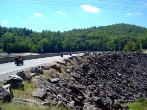
Wolf Creek Dam near the midpoint of NC 281, one of the scenic points on this great motorcycle ride.
68.4 mi – Turn left onto NC 215. Junction Charlies Creek Road and NC 215. Start back on a road you’ve been on previously.
89.7 mi – Follow NC 215 back to Bethel.
You’ll find gas stations in Bethel, on NC 215 on the south side of the Blue Ridge Parkway, and at the turn off US 64 onto Silversteen Road.
Jukebox Junction is a popular diner in Bethel. It’s mostly gas station food for the remainder of the ride.

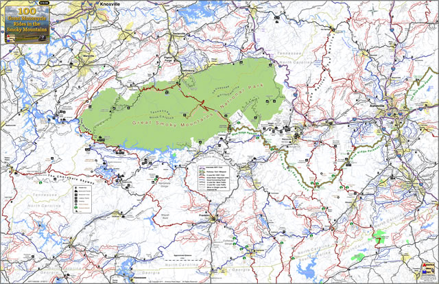
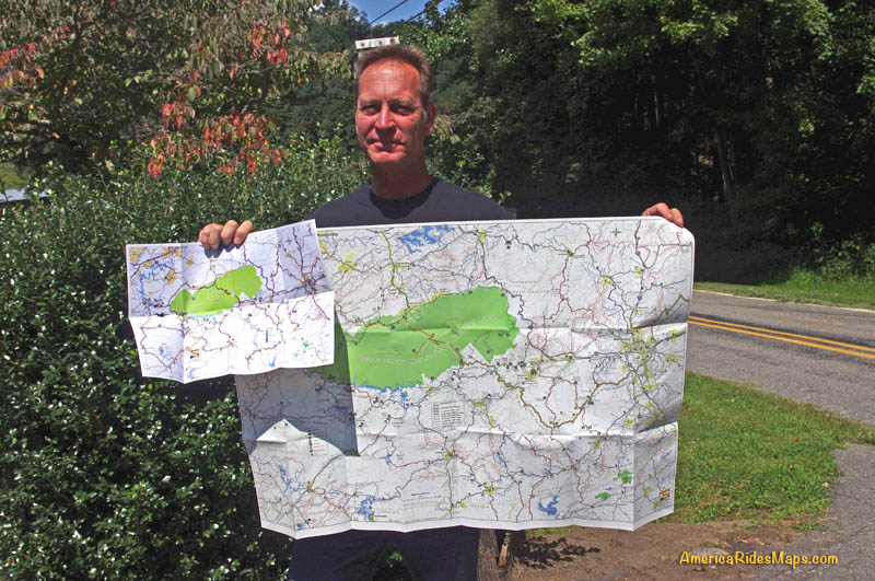
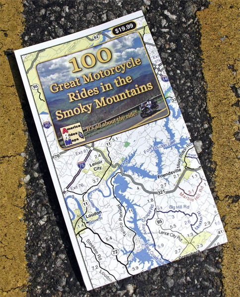
You’ll find these roads and many others in the surroundings on America Rides Maps motorcycle pocket map #6 – The Best Motorcycle Rides Near Great Smoky Mountains National Park – EAST.
____________________________________________________________________

Wayne Busch
– Wayne Busch lives in Waynesville, NC, where he produces the most detailed and comprehensive and up-to-date motorcycle pocket maps of the Blue Ridge and Smoky Mountains to help you get the most of your vacation experience. See them here – AmericaRidesMaps.com

Learn Total Control
Wayne is an advanced motorcycle instructor for Total Rider Tech teaching Lee Parks Total Control Advanced Rider Courses. Isn’t it time you looked into advanced rider training to ride more confidently and safely? It can transform your mountain riding experience. Total Rider Tech
____________________________________________________________________