Our motorcycle trip to West Virginia to explore the mountain back roads. The focus was on the south tip of the state – Coal Country.
Who: Jackie Busch, Wayne Busch, Yermo Lamers
What: Motorcycle Trip
When: October 20 – 23, 2018
Where: Glade Springs, WV, Blowing Rock, NC, Waynesville, NC
Why: Explore Roads in Southern West Virginia
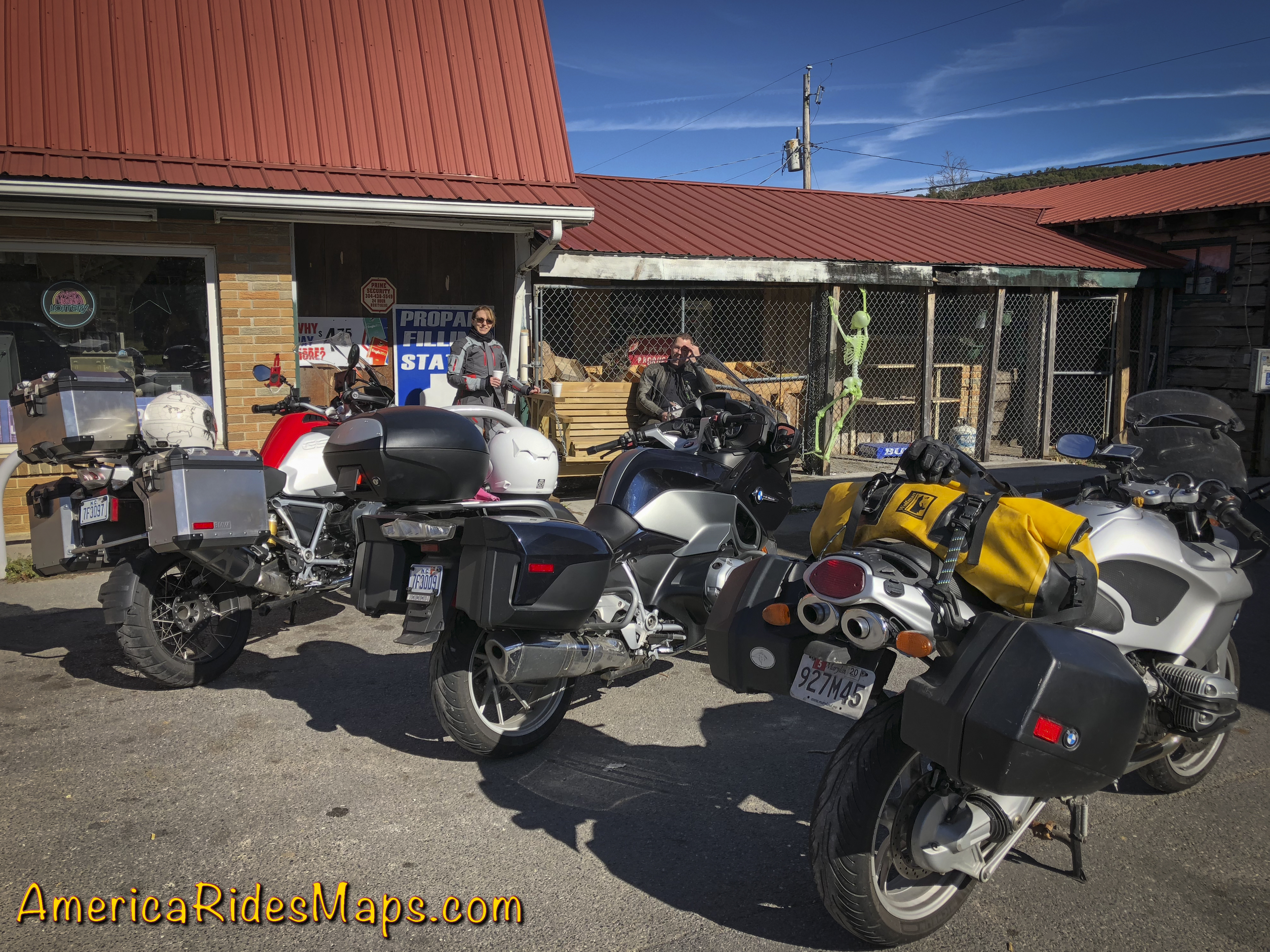
Jackie and Yermo
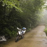
Saturday, October 20 – started with cold showers in the NC mountains.
Jackie on I-26
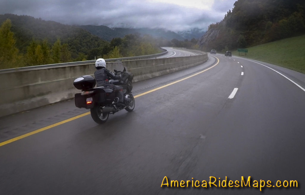
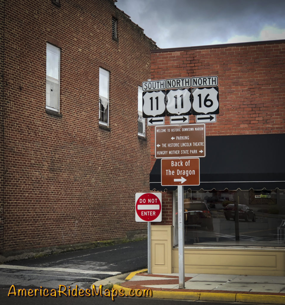
Morning found Jackie and I droning along I-40 under grey skies and a pelting of rain that came and went in soft waves. Warm and dry with our heated gear, we had a lot of miles to cover. Tonight and tomorrow night we’ll be staying at the The Resort at Glade Springs south of Beckly, WV. First to Asheville, NC, then north on I-77 to Johnson City, TN, then northeast on I-81 to Bristol, VA. We stopped north of Bristol to top up the tanks and get some hot coffee at a Dunkin’ Doughnuts then peeled off the Interstate through Marion, VA to start our ride north on the mountain back roads.
Tazwell, VA
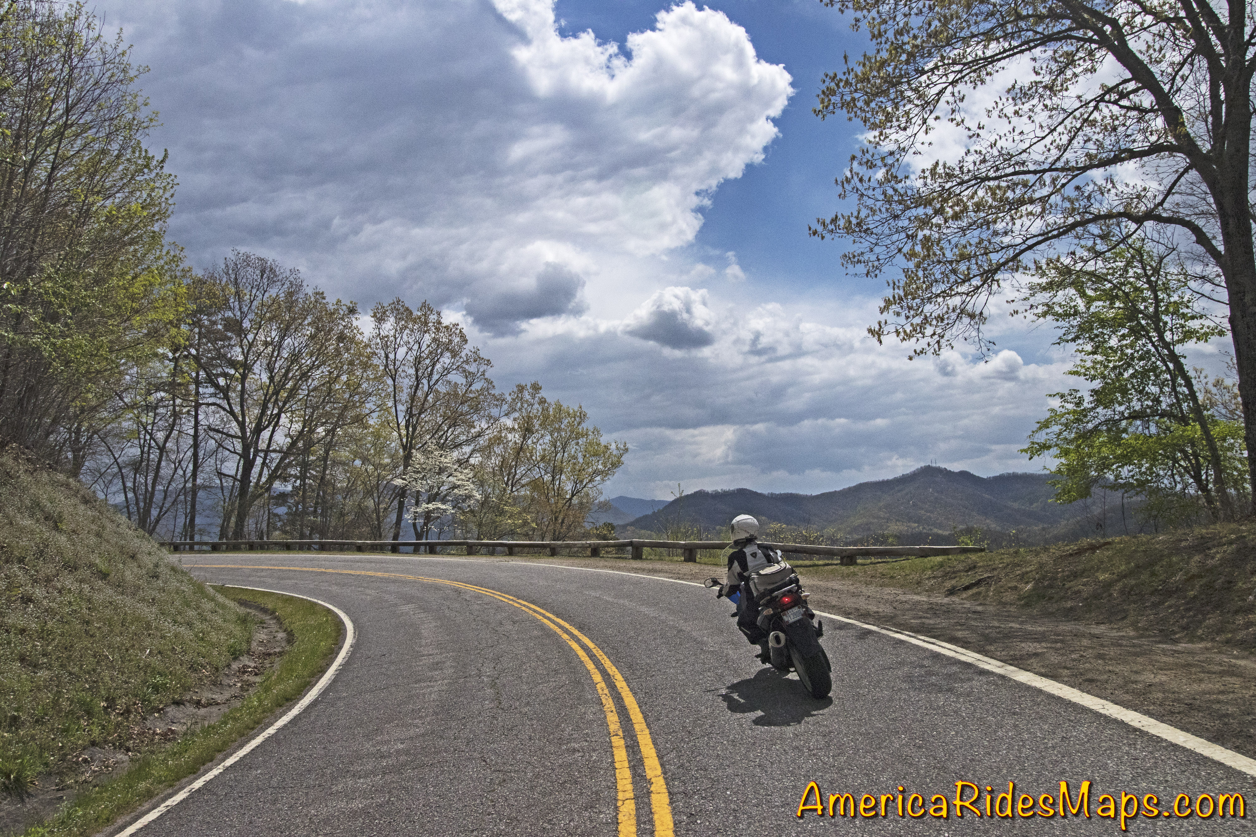
VA 16 is familiar turf, “The Back of the Dragon”. The well promoted road winds through rocky cuts and long stretches of tight curves north to Tazwell, VA. We’ve done it before, it’s a fun motorcycle ride, one of the classics. The rain tapered off as went entered the hills and it was a decent ride at a wet-road pace.
VA 16 – Back of the Dragon
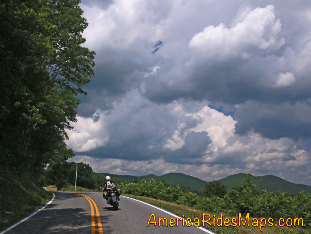
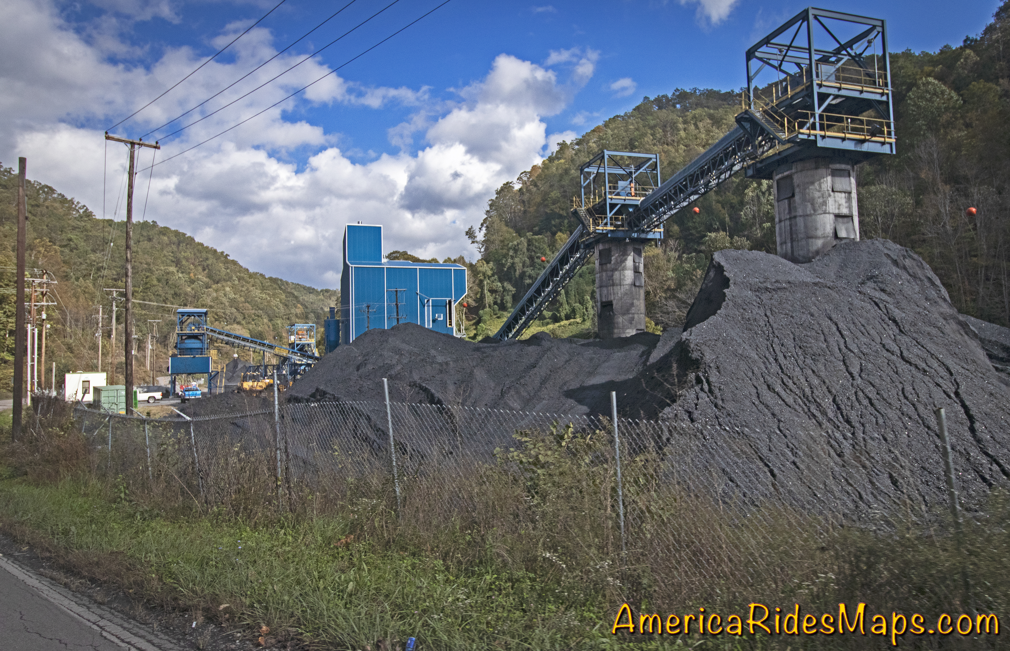
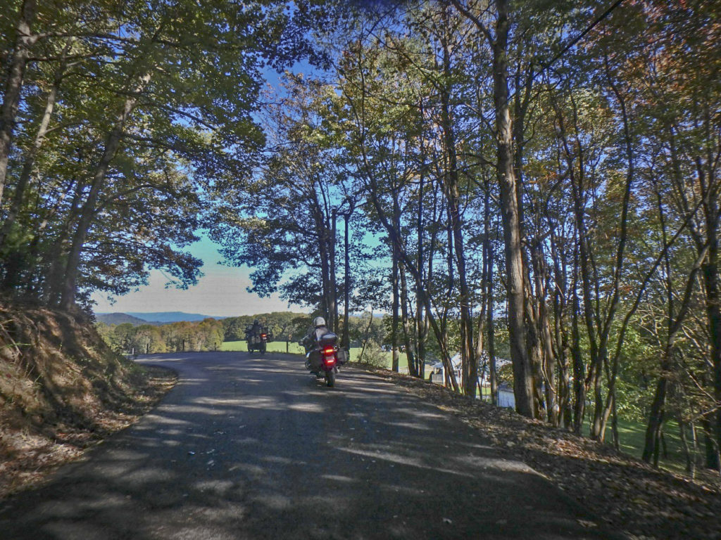
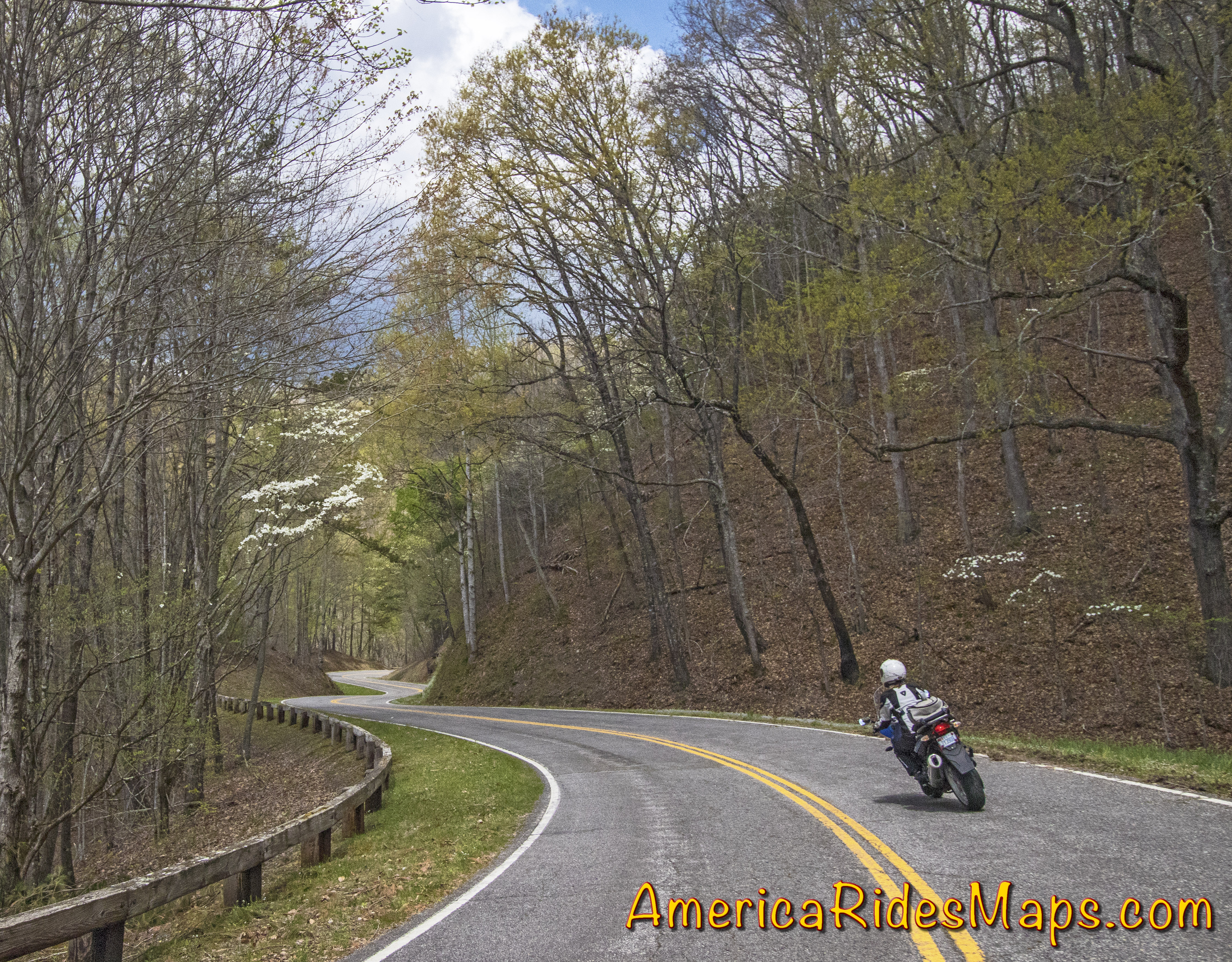
Reaching Tazwell, VA, we needed to arc north to Beckley, WV. VA 16 becomes WV 16 and leads to Beckley – it was the obvious route. We enjoyed nearly every mile of it. While the southern portion in VA gets all the attention, this extensive section north is better. WV 16 winds its way through long wooded valleys and twisty passes between roadside coal towns. It’s mostly a wide two lane road with good pavement, generously curvy. The mountains and valleys are seriously rugged, the scenery stunning, especially with the bright fall color that was now lighting up as the sun burned off the clouds. Passing lanes on grades are common letting you leapfrog the industrial traffic this road was built for.
Following Jackie on WV 16
WV 16 is one of the best rides in southern WV. It’s a major road, you can make decent time on it. The experience is a good introduction to the area with coal mines, small mining towns, and miles and miles of dramatic rugged mountains. Near the middle of our ride, we dodge off WV 16 onto WV 97 for a while before returning to WV 16 again, a really sweet long stretch of curves we liked best. It’s common to find the road on one side of a river with railroad tracks running on the parallel shore, long trains of gray rail cars topped in black gold slinking along. Rows of aging roadside company houses cluster near mines and at cross roads. The are few amenities like fast food, motels, stores and shops. Small roadside businesses take care of local needs. Larger towns host the vacant buildings of past industrial prosperity. Traffic is as likely commercial as not, trucks and trailers of equipment moving between sites. You my hit the occasional snag but the chance to pass is usually coming up soon. The interstate highway will take you from Marion to Beckley in less time but it’s a longer distance on the main roads. This ride is so good the extra time it takes is worth it to get off the four lane highway and frolic in the turns.
While the coal industry chugs along, one new business is surprisingly widespread – ATV rentals, tours, and facilities. We started seeing signs for the extensive Hatfield-McCoy Trail Systems and passing through ATV friendly towns where unlicensed vehicles roam the public roads unhindered. We passed businesses with fleets of the 4 wheeled toys, trucks with trailer loads of them, and witnessed several large groups of riders gathered at trailheads or emerging covered in gray muck. The bulk of the motorcycles I saw were light weight trail bikes, the machines you want for the more extreme trails, but they were vastly outnumbered by the 4 wheeled crowds. What little I saw of the trails was impressive – steep, wet, rocky climbs up from the road, or winding muddy roads full of big puddles. It looks like serious territory.
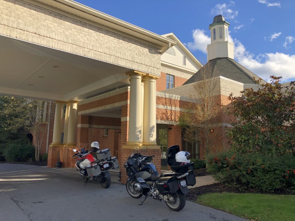
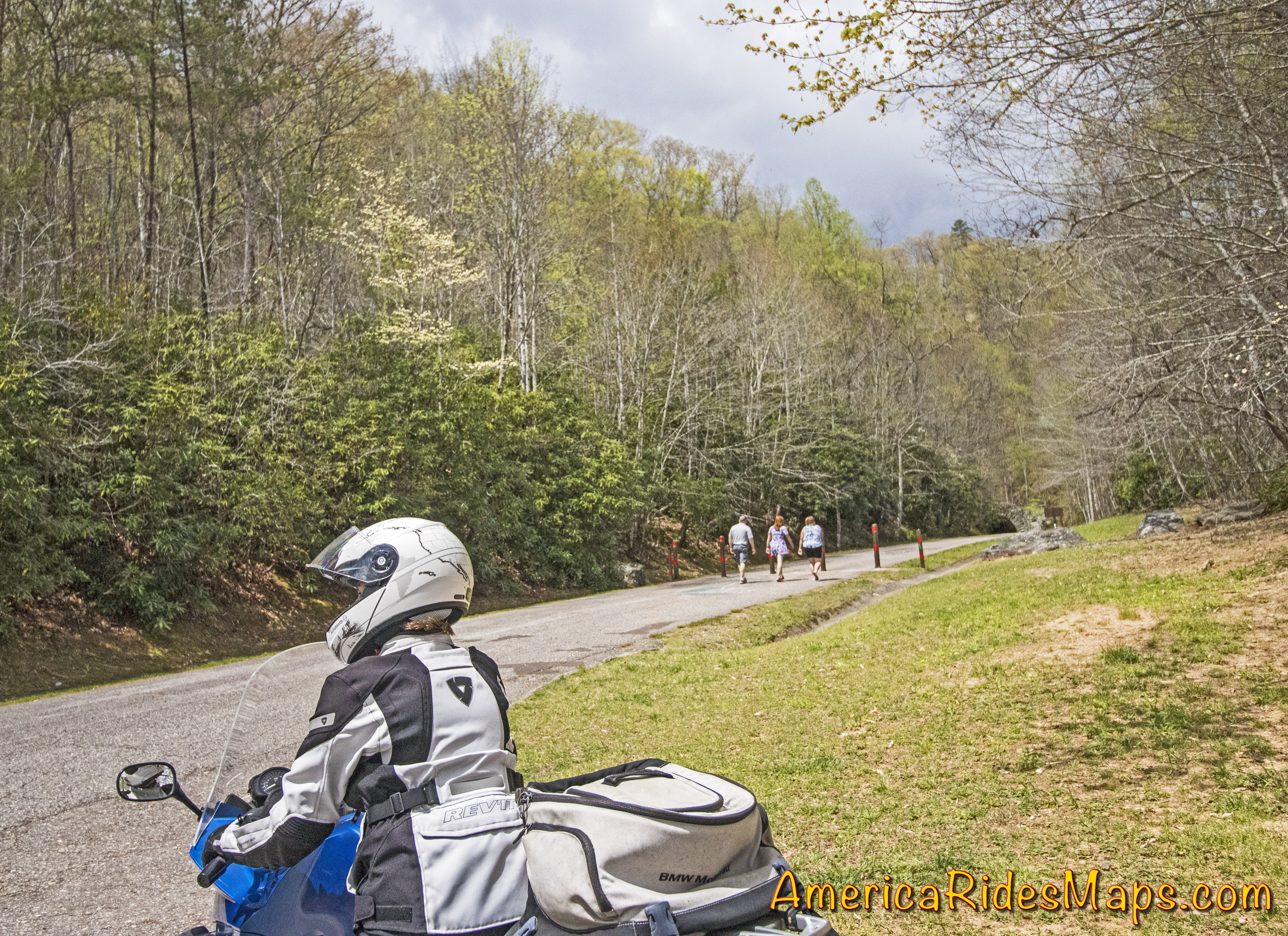
The Resort at Glade Springs
The sun grew low as we cut across a web of GPS led roads to The Resort at Glade Springs. It’s a golf resort south of Beckley which also caters to the public with a restaurant and events on the grounds. Currently, there was a Halloween attraction that was drawing visitors. We got the required passes at the gate then rode a mile or so to check in at the main lodge. It was not quite what I’d expected.
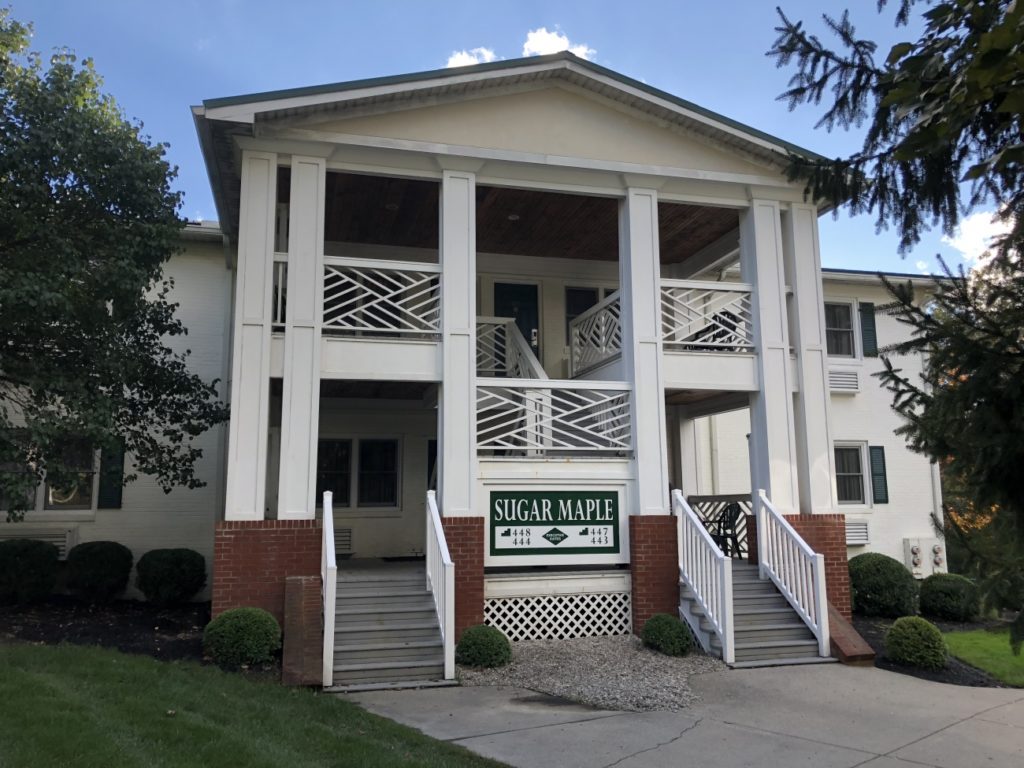
Our Executive Suite
I was expecting an all-in-one-place, a room with a walk to dining and a bar. Instead, facilities were spread across the large property. The layout resembled a college campus. Breakfast was in the lodge. Our rooms were in a group of small 4 room buildings a short drive away. The bar and restaurant were a half-mile walk and it was getting cold. We got our exercise staying here. Yermo arrived not long after we did and we walked to the pub to top the evening.
Sunday, October 21 – Snow.
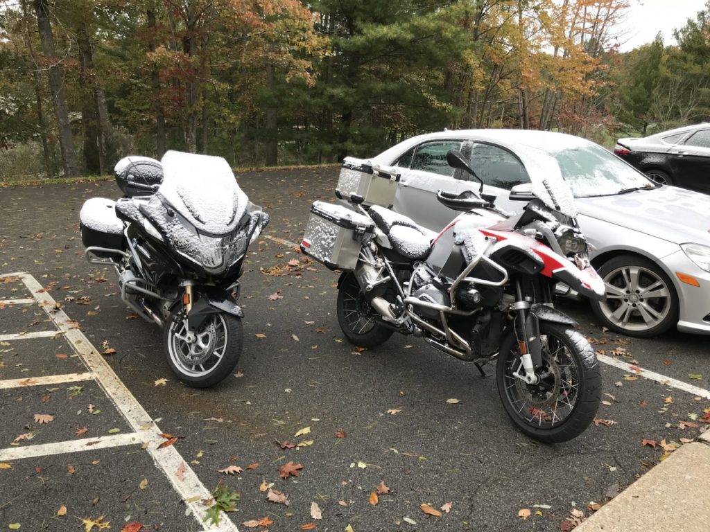
A dusting of snow
A strong front moved through overnight. We later learned 60,00 in the area lost power. Breakfast dragged on deciding how to play this day we’d been dealt. Even with heated gear it was pretty darned cold and there was concern for ice. Ultimately we chose to make a visit to a demonstration coal mine in Beckley and take a tour underground.
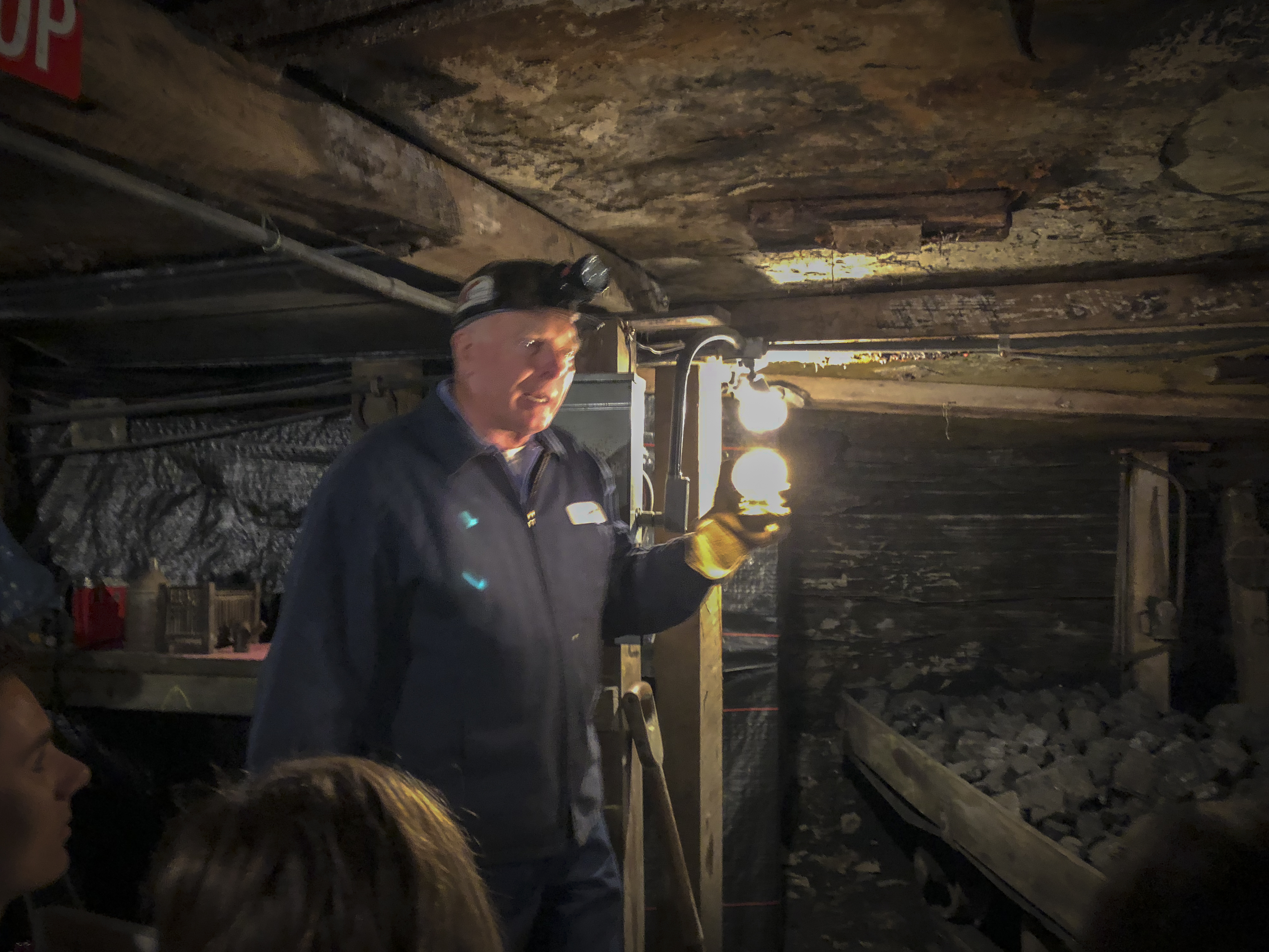
Inside a coal mine
It took a frustrating hour to get a ramshackle cab then another half hour to get to the mine. It was a great experience. The tour starts at the museum and gift shop. We piled into mine cars fitted with seats and the engine drove us into the mine 1500 ft under ground. The train stopped periodically as our tour guide explained the equipment, history, and life of a coal miner along the way. We all enjoyed the experience and came away with a deeper appreciation of the area we were riding through.
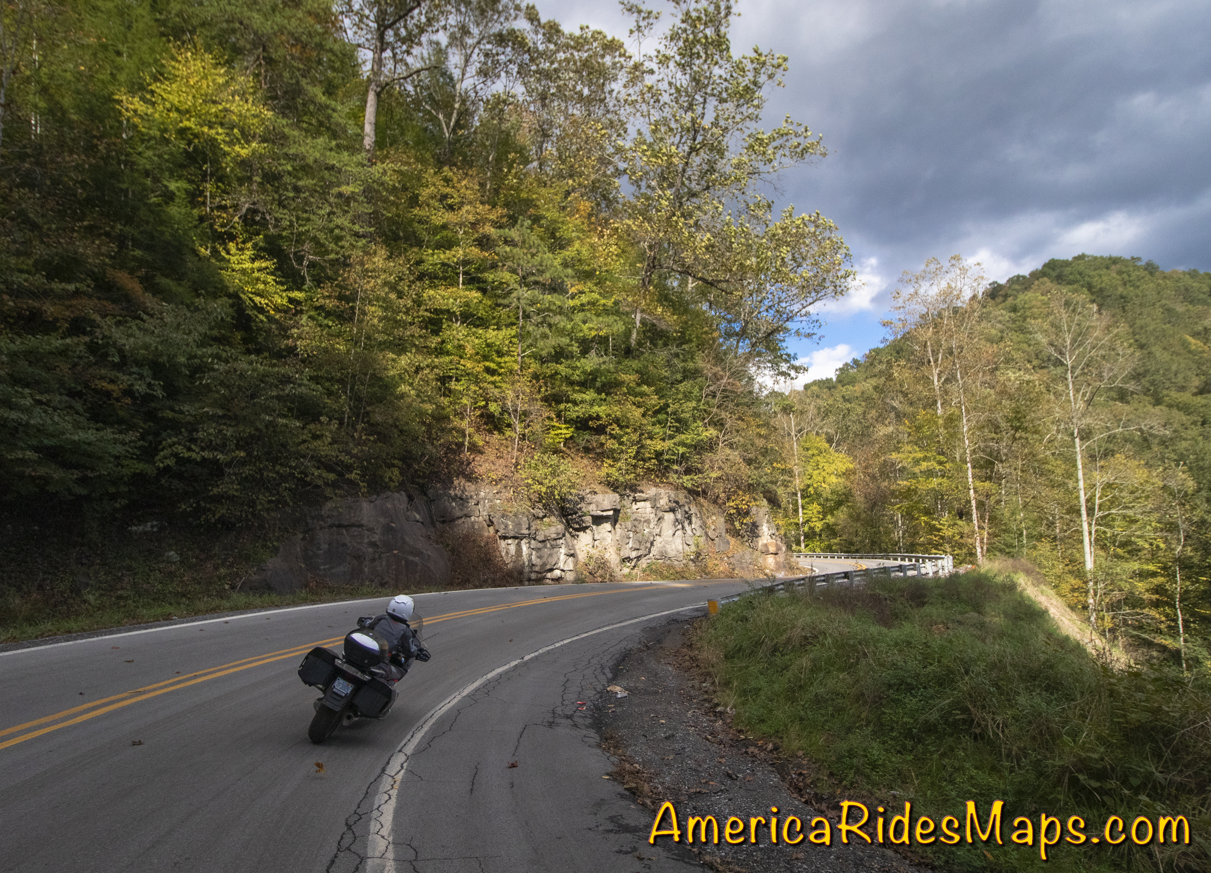
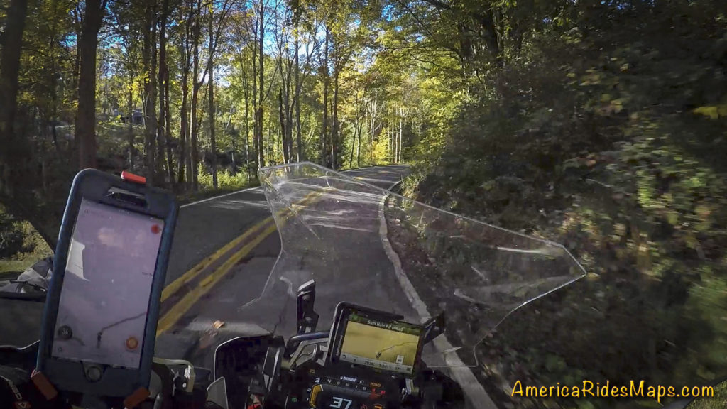
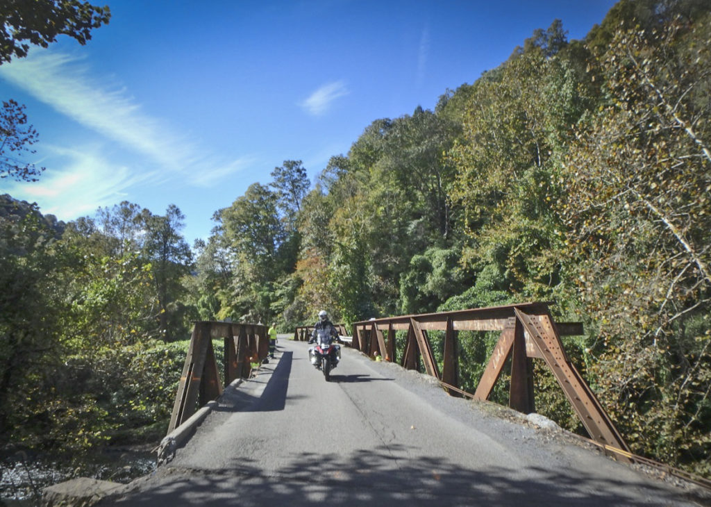
Mountview Rd, WV
Returning to the resort with a couple hours of daylight left we suited up and plugged in.
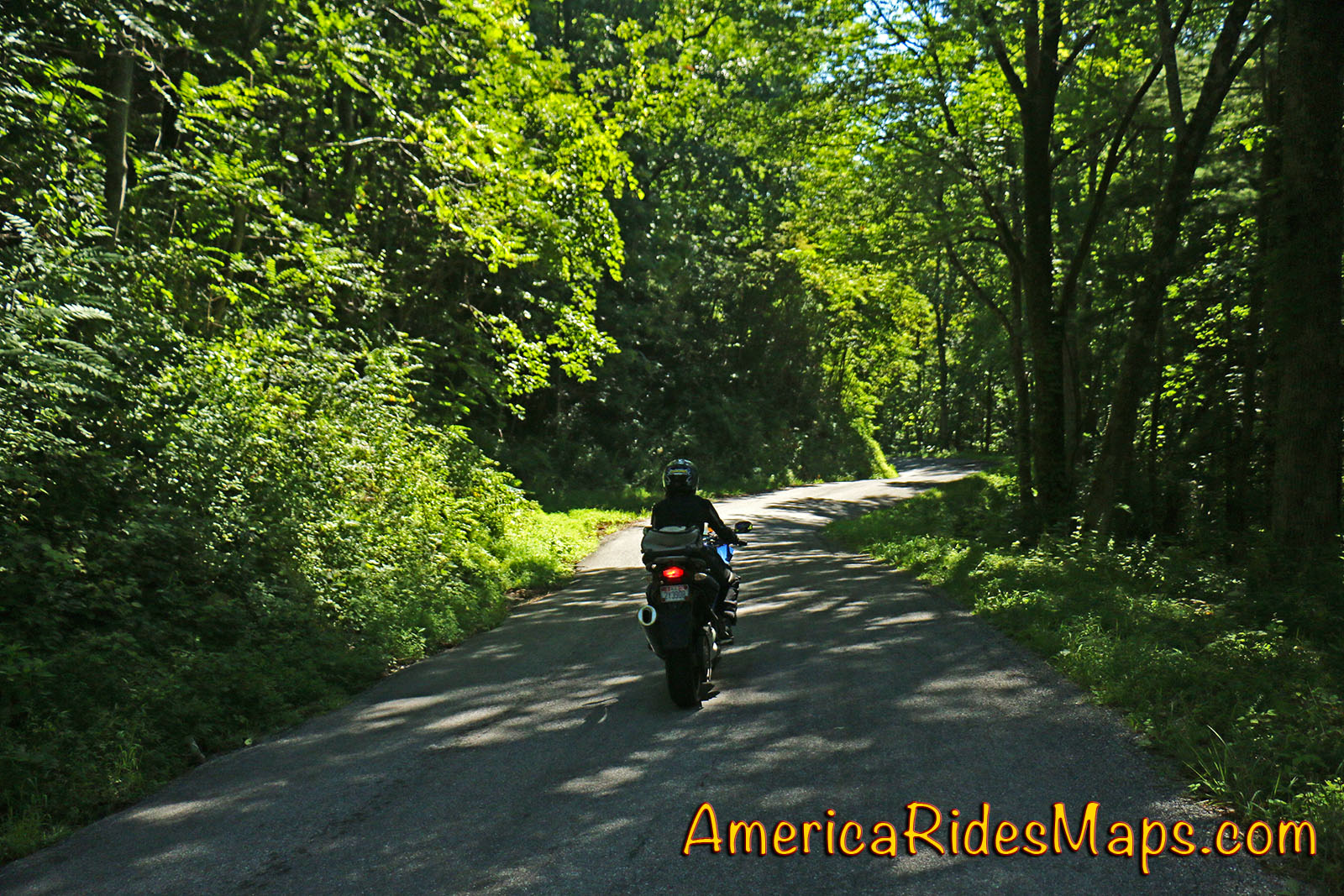
Ellison Ridge Rd – Ducking tree suspended by power lines
Heading south I first led the crew out a road our driver had mentioned as pretty, Mountview Road. It was OK, not a bad way to traverse between larger roads, but not exceptional. We got on VA 3 continuing south. Mountview Road had taken us a dozen or so miles east, I was looking for a way to loop us back west.
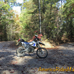
Ellison Ridge Rd, WV
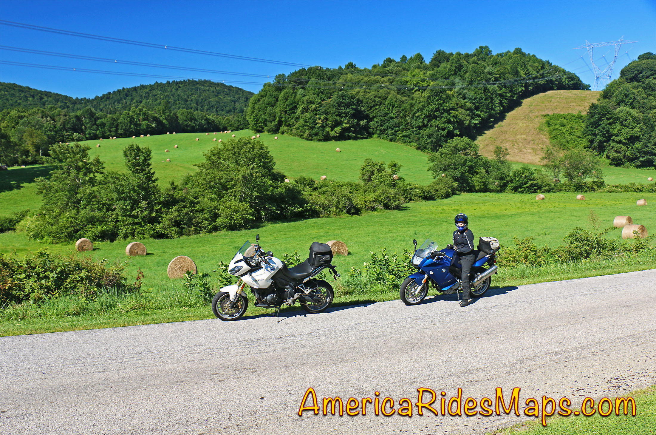
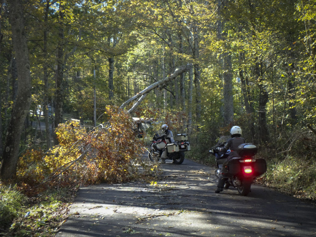
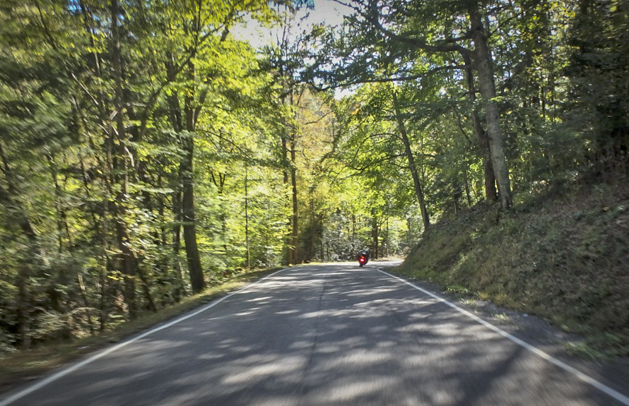
Coming into Nimitz I spied a small side road and I instinctively I cut right. Chances were high Ellison Ridge Road would be a waste of time, a long run to a dead end, but I went on and so did the single lane country road. It was paved though there were times it was hard to tell. Mile after mile we rode deeper into the hills passing farms and forest always expecting the end of the pavement around the next blind curve. The road was littered with blowdown from the night before, wash from the roadside, and wet areas. We passed under a fallen tree held aloft only by power lines. Crossing a small river the road climbed an endless steep and dirty grade, then coasted gradually down to meet the main road we sought. Ellison Ridge Road was 27 miles of adventure, what a ride!
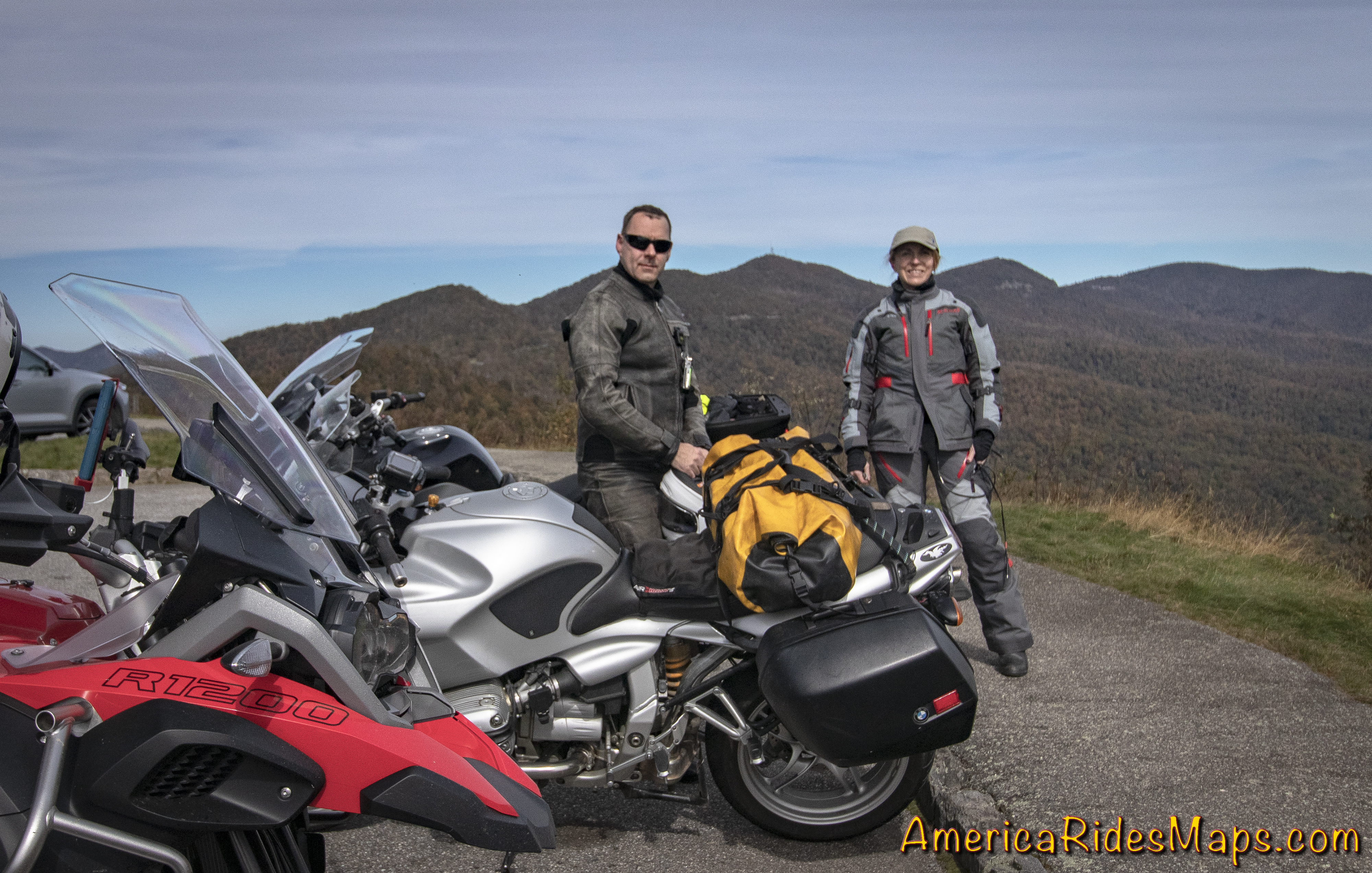
Yermo, Jackie, Wayne
Heading back, we made a short detour to see the local “ski slopes”. Nothing but a muddy mess today, then returned to haunt the pub another night.
Monday, October 22 – Destination Blowing Rock, NC
We packed up, bundled up, and plugged in on another chilly morning. Our rooms are waiting tonight at the Chetola Resort in Blowing Rock, NC a few hours south. The bulk of our day is for exploring more of WV, then a run to Blowing Rock passing through Damascus, VA. We turned south for several miles to reach our first new WV back road – Odd Road.
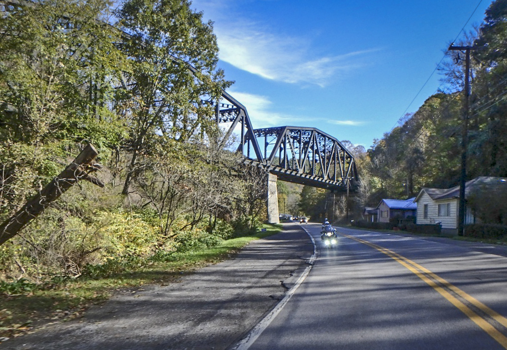
WV 10 – Gas Stop below Matoaka
Odd Road was a great start. It quickly turned into a tight and twisty romp passing through the town of Odd then rolled on to meet WV 16. It was a lot of fun. We then followed WV 16 to WV 10 diving south to Matoaka. WV 10 is a larger two lane road with generally easy curves. There is a 6 mile section in the middle that is just wonderful, a beautiful section of tight curves and exposed rock walls. Needing gas, we continued on WV 10 for quite a stretch to reach a station. The gas break turned into an entertaining coffee break as 3 locals stopped to talk bikes with us. All had fondly owned BMWs at some point. The sun was out and the day warming.
WV Odd Rd
Tanks topped, I led the way back to Matoaka then veered west onto WV 71 – Lorton Lick Road. A small tight winding two lane road, WV 71 was beautiful and an adventure. We passed through a small settlement of close houses then rolled high on a bluff above a small river before we entered a long wooded stretch. The sunshine ignited the fall leaves and they blazed in color above us. We emerged onto US 52.
WV – US 52
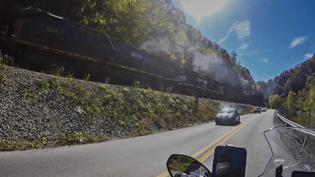
US 52 is a major road and not especially scenic overall. We used it to jump to WV 161. A broad road with no centerline, two white lines mark the edges. It started with nice hairpins, then got slick and wet from the coal trucks from a couple mines along this route. We managed to skirt around one truck but not a second. It wasn’t long before it turned off and the rest of the ride was good. WV 161 is a useful road and a decent rides taking the coal trucks into account. One coal road leads to another, WV 161 intersected WV 103 and we turned north again. A bigger road, WV 103 – Riverside Drive carries more traffic. It traces one side of a river with the railroad on the other passing a couple mines on the way to Welch.
WV 638 – Dismal River Rd
US 52 came in handy again taking us west to meet WV 80. This section of the main road is more wooded with nice flowing curves. It was well into the afternoon when we turned south on WV 80 for the twisty run flowing into WV 83. When 83 turned west I hopped onto WV 635 to continue due south. WV 635 was a nice road for a while then veered off as a smaller unmarked road. It seemed to be petering out. We passed ATV trails and signs ATV’s used these roads. Sure enough, miles out in the boondocks the pavement ended. Consulting the GPS I found a possible alternate route and we started backtracking to reach it.
WV 7
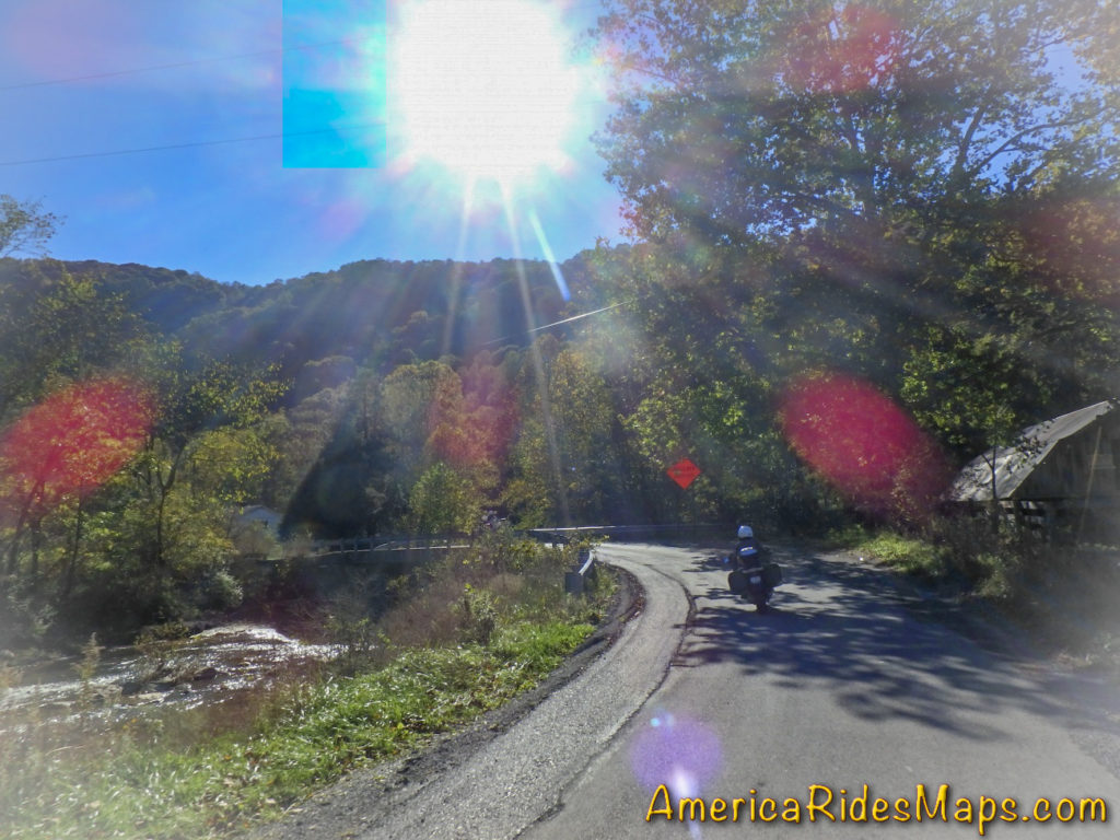
WV 636 didn’t look much better than WV 635 but it did point in the right direction so off we went. Tiny, twisty, technical and fun, the pavement continued on a true adventure road. WV 636 flowed into slightly larger WV 67 and as we reached Virginia it was time to head for the rooms.
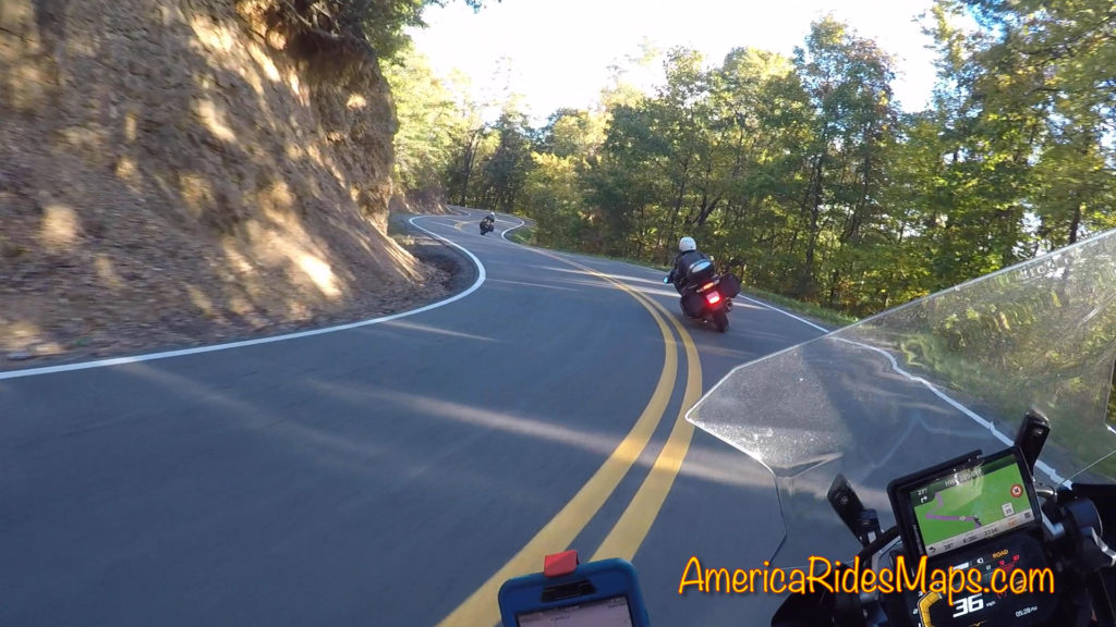
TN US 421 – The Snake
We worked our way south crossing the interstate then on to Damascus, Virginia. Shadows were getting long now and it was time to plug the heated gear in again as we whipped south into Tennessee on TN 133. At Shady Valley we turned east on US 421 to enjoy an evening ride on The Snake. It was a nice run, the golden sunlight of the evening making the trees glow. The road was nearly empty this late in the day. Leaving the Snake we passed through Mountain City then entered North Carolina. The congested main roads took us around Boone and on to Blowing Rock.
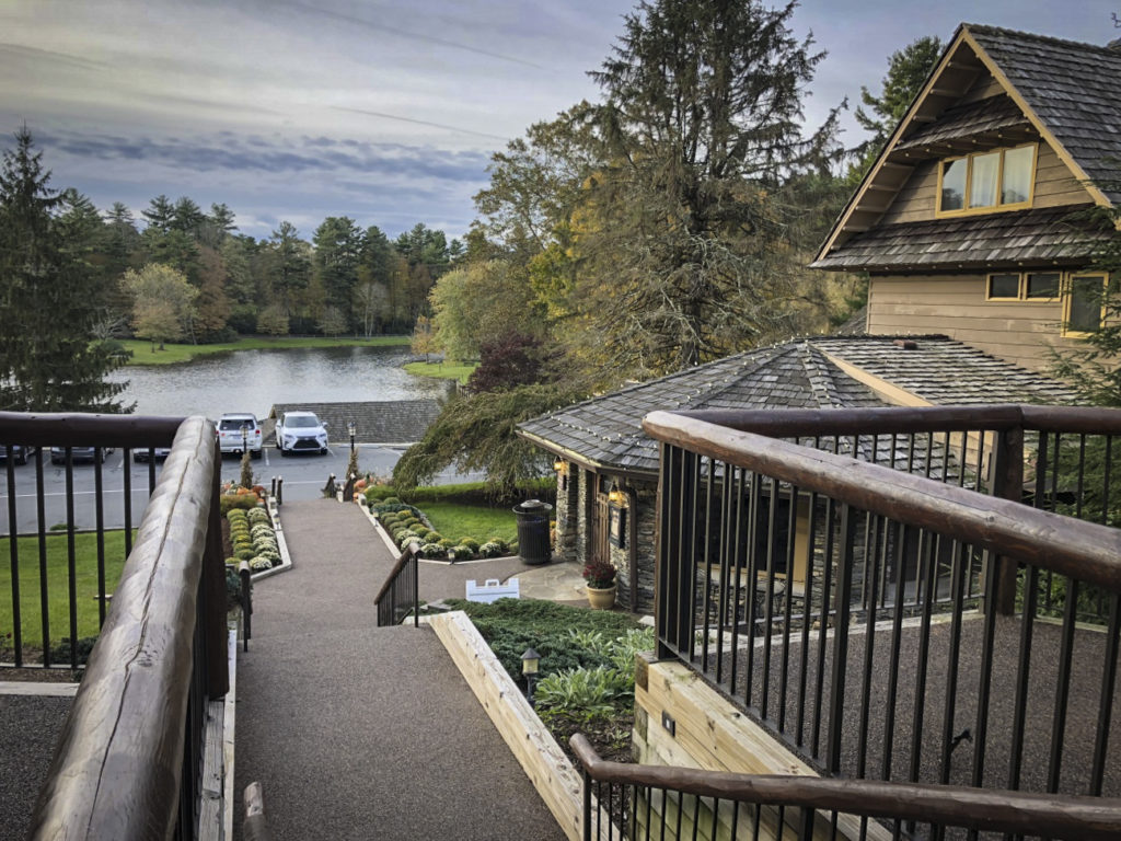
Chetola Lodge, Blowing Rock, NC
Rolling up to the Chetola Resort I was pleased to find just what I was looking for. It was a beautiful setting, the buildings posh, the warm glow from the pub windows beckoned as we checked in. Just what I wanted after a good day on the road.
Tuesday, October 23 – The Parkway of course!
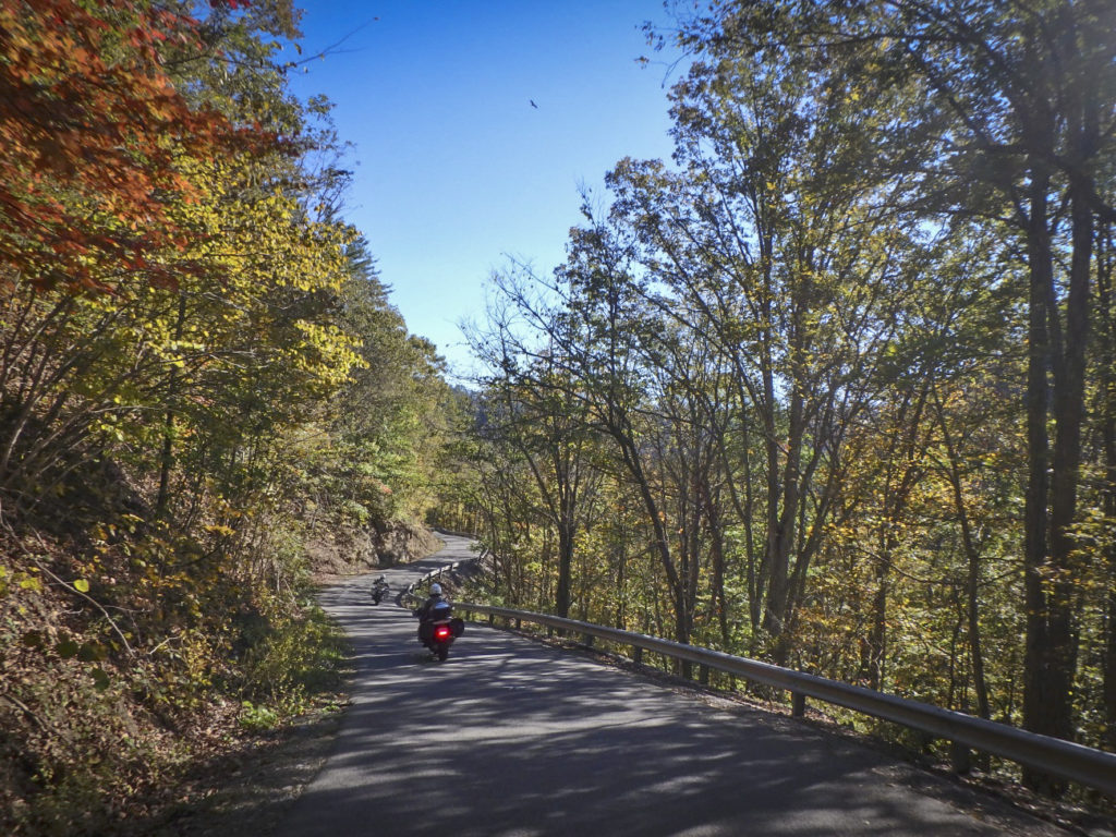
You could tell early on it was going to be a nice day and we got off to a good start riding US 221 from Boone to Grandfather Mountain. This section of US 221 clings to the slopes below the Blue Ridge Parkway. It’s a fun and technical ride freshly paved in places. We paused for the photo below the Linn Cove Viaduct then enjoyed the rest of US 221 into Linville for fuel.
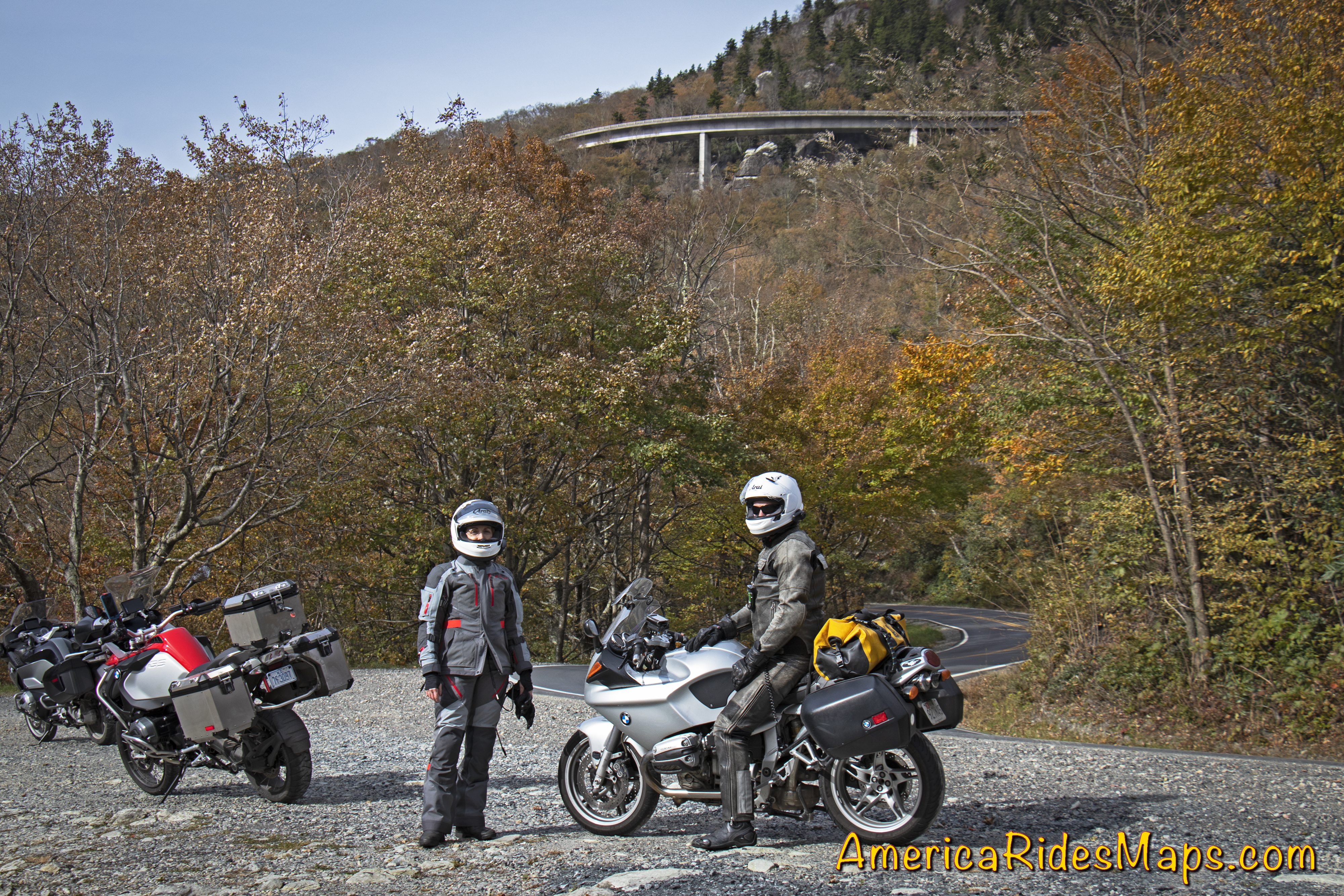
US 221 -Below the Linn Cove Viaduct
I handed Yermo my keys and we switched bikes. It was quite a transition getting on his BMW 1190 R after spending the last few days on my new BMW 1200 GSA. Linking to the Blue Ridge Parkway via tricky little Roseboro Road was a challenge on the unfamiliar ride, but after 20 minutes on the parkway I’d started to get more comfortable with the bike. The fall color was gorgeous as the day warmed. We flicked our way south through the bends enjoying the light mid-week traffic. After an hour or so we stopped and switched bikes again – I stayed on the 1190, Jackie got on my GSA 1200 and Yermo hopped on her 2017 BMW 1200 RT.
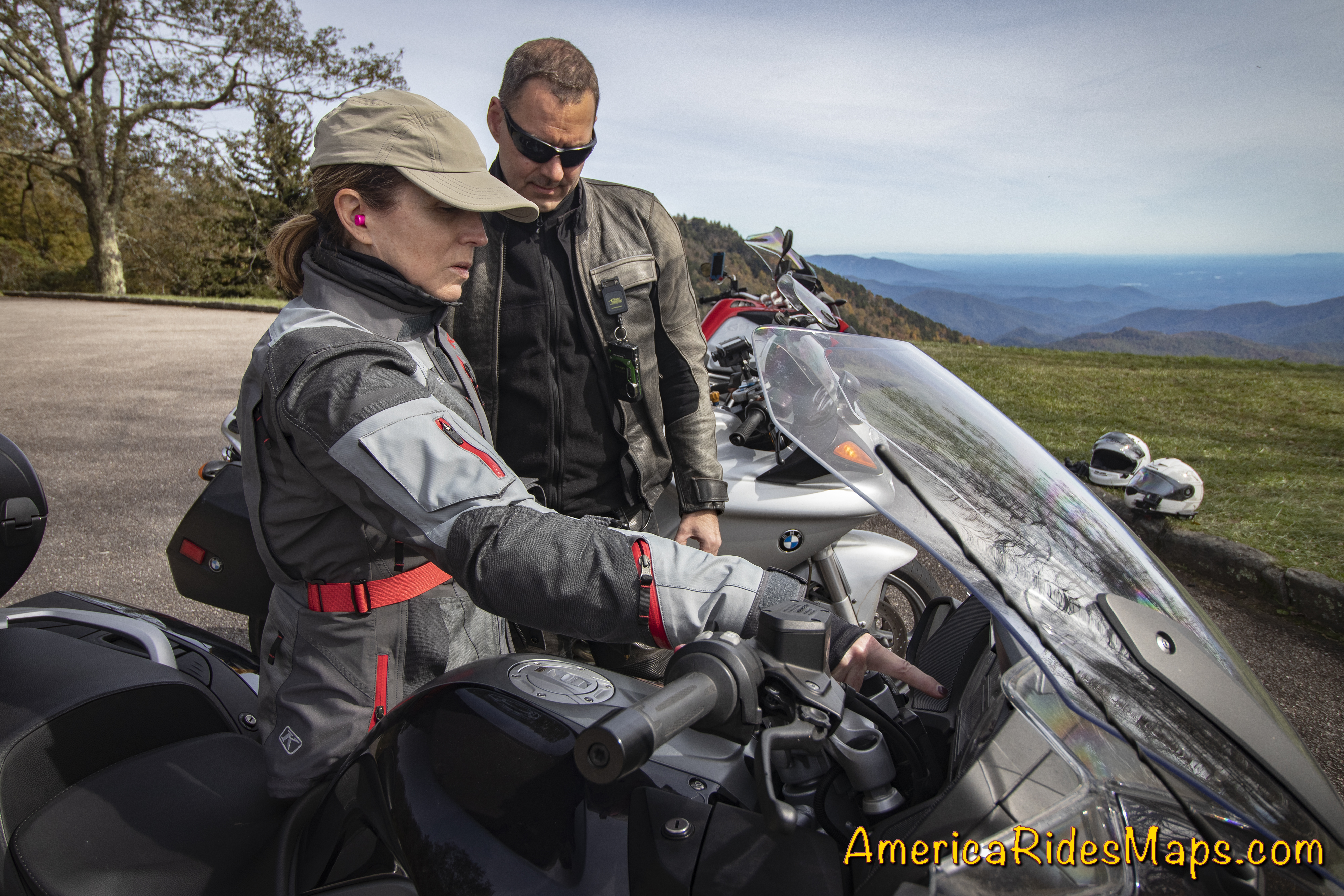
Jackie shows Yermo the controls.
The day just got better and better. The fall leaves were at peak in places. The air was so clear, you could see forever. We passed up early chances to head for home to keep enjoying the high road and hit all the classic stops.
We left the Parkway at US 19. It took us through Maggie Valley and home to Waynesville.
Impressions from this trip:
Our previous explorations in West Virginia have been in the hills and valleys west of the Shenandoah area. The southern tip of the state is more rugged and mountainous. The northern areas are more agricultural and pastoral, this region is both more industrial and and more rural. Coal mining dominates, there is little else. I’d expected to see vast extractive wastelands, and while there are roadside mines, most are out of sight. Instead, the mountains and valleys are ruggedly beautiful, winding rivers link gritty towns, forests dominate.
WV 103
What a variety of roads! The riding here is outstanding. You’ll find few sections of four lane, two lane roads of various sizes dominate. The bulk of the roads are in excellent shape, seemingly built to accommodate the commercial traffic to and from the mines. There are many good single lane roads and we strayed on to a few “adventure roads” – paved, but just barely. Off road adventure looks to be the growing industry.
Ellison Ridge Rd, WV
The challenge I see in this area is the lack of amenities. Towns are small and there is little in them. Next task is to look for the good spots, food, gas stations, and lodging, then explore the roads that link them.
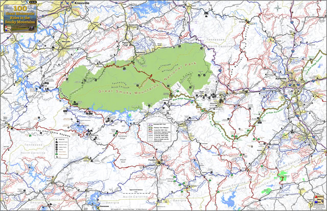
Wayne Busch – America Rides Maps
Wayne Busch searches out the most entertaining roads in the Blue Ridge Mountains then records them on a series of maps which span the Southern Mountains.
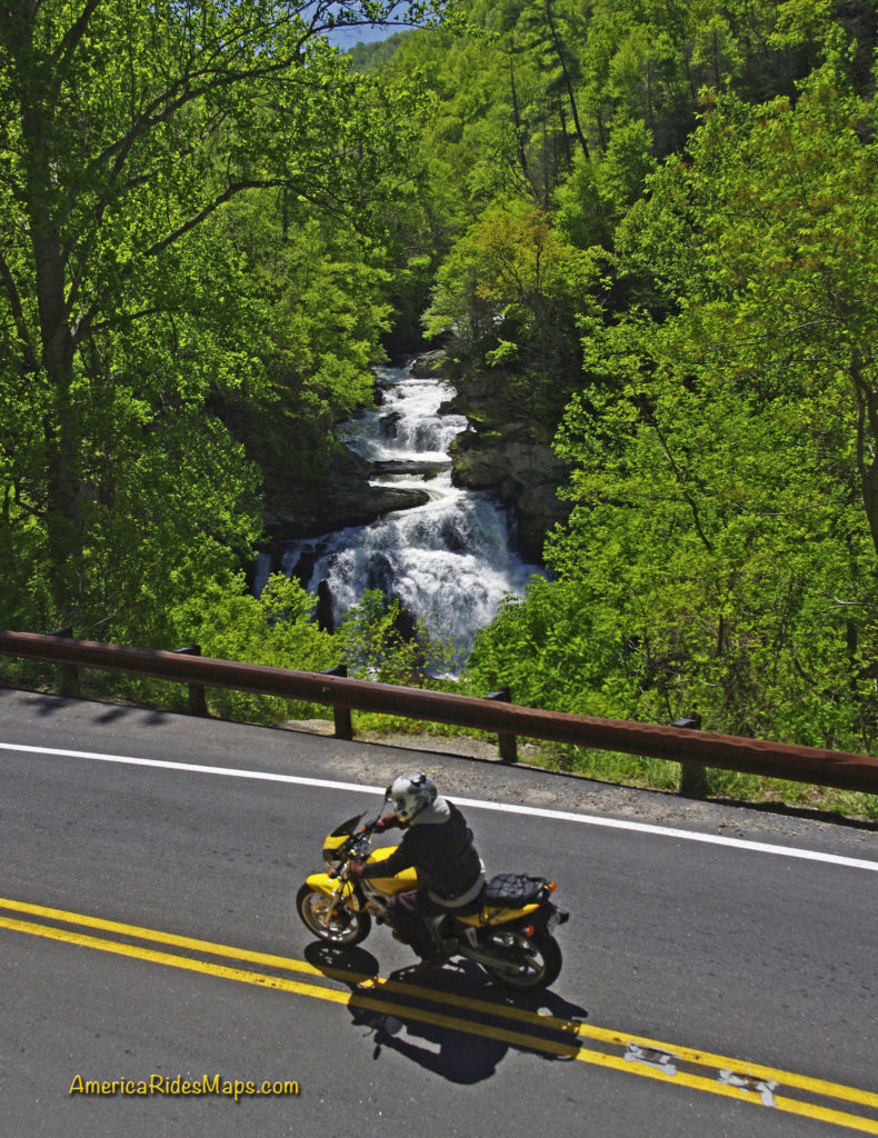
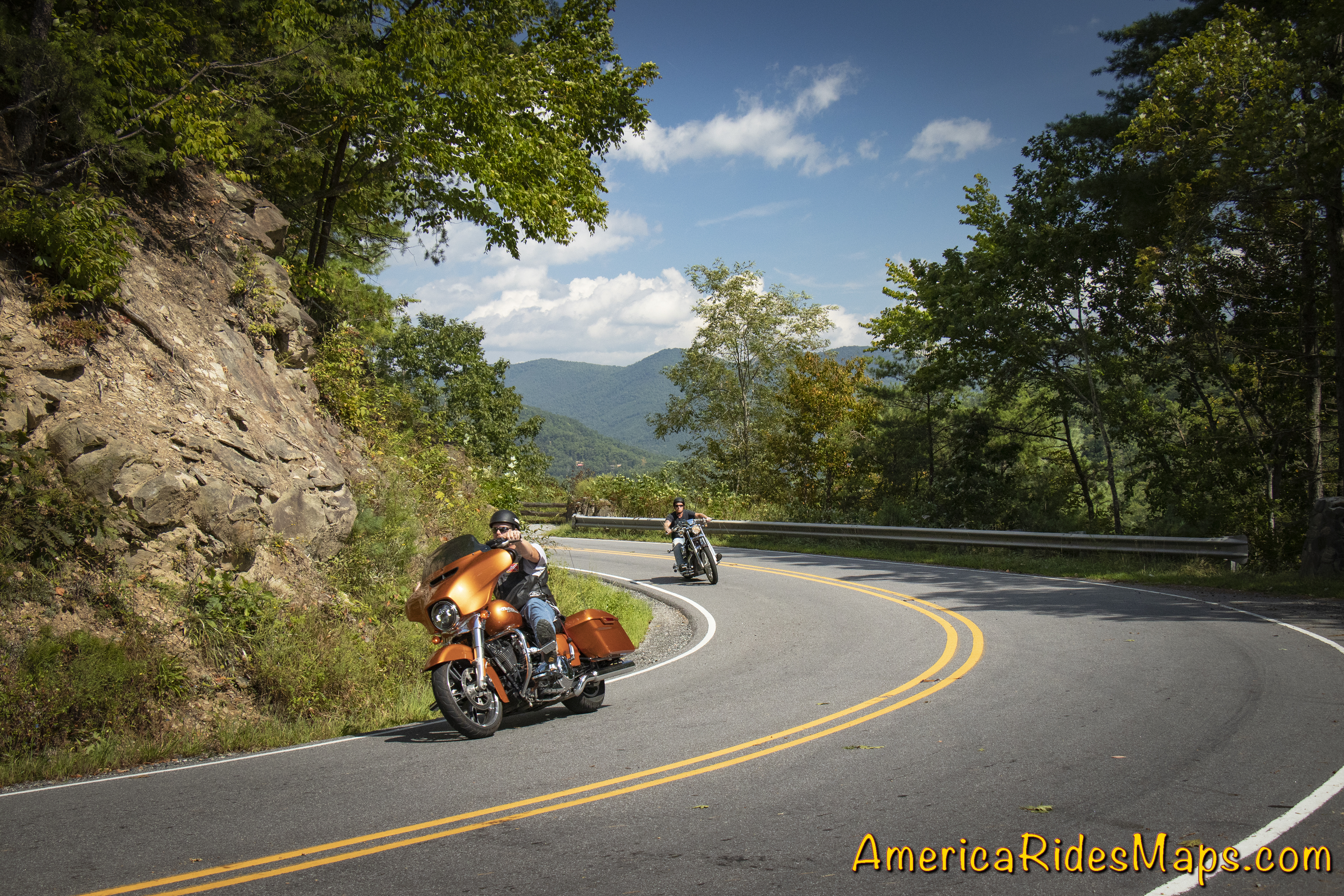
There are more great motorcycle roads in the Blue Ridge and Smoky Mountains than anywhere else. I highlight the best roads then show you the best ways to connect them together into rides. More than a decade of searching has discovered more than 1000 good roads to enjoy. We continue to search so you may enjoy.
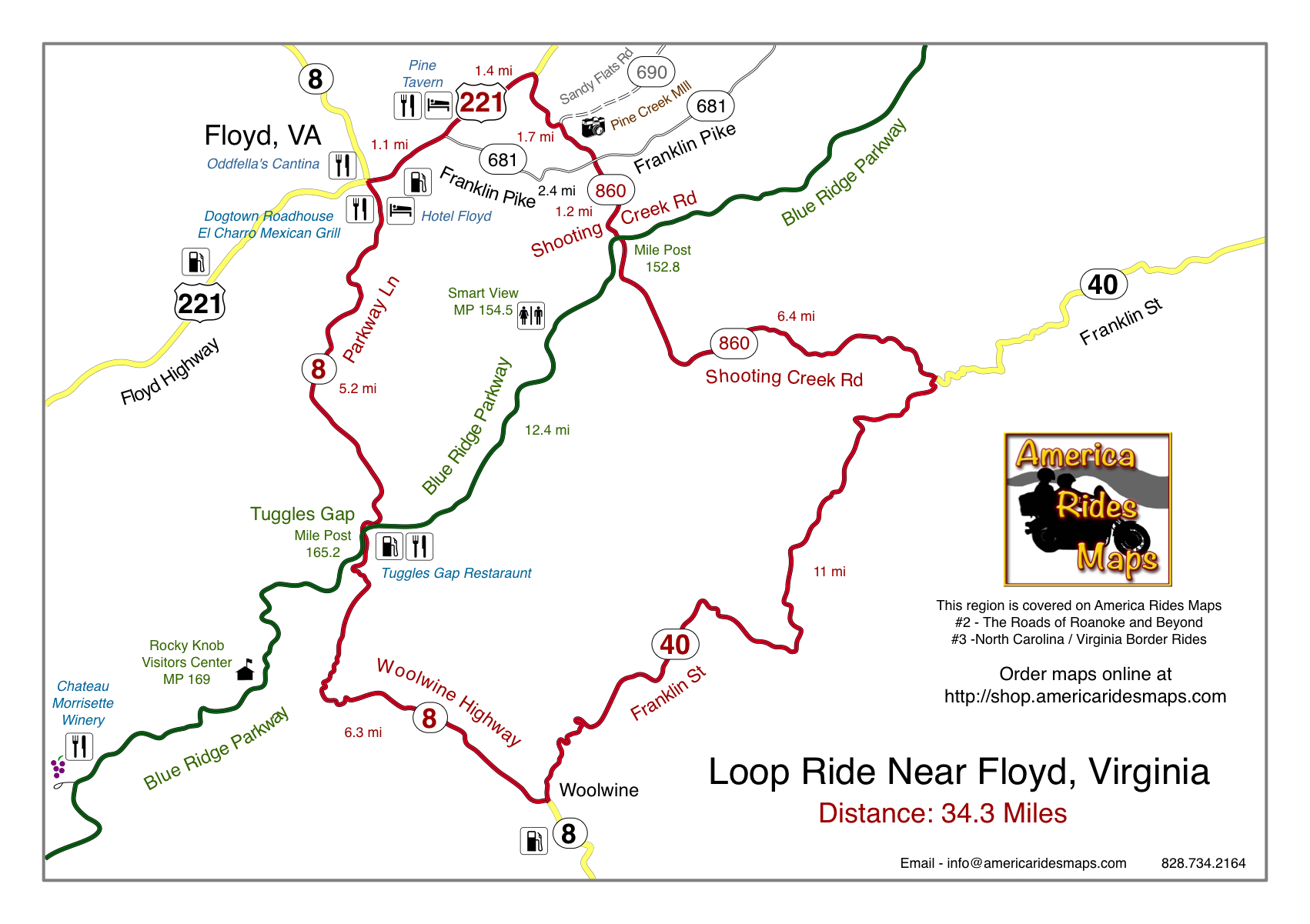
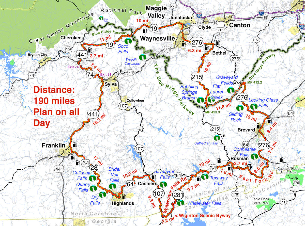
Review the maps, order online here – AmericaRidesMaps.com
Source: America Rides Maps Blog @ Miles-by-Motorcycle.com
https://miles-by-motorcycle.com/51999/blog/65203/a-motorcycle-ride-in-coal-country–west-virginia

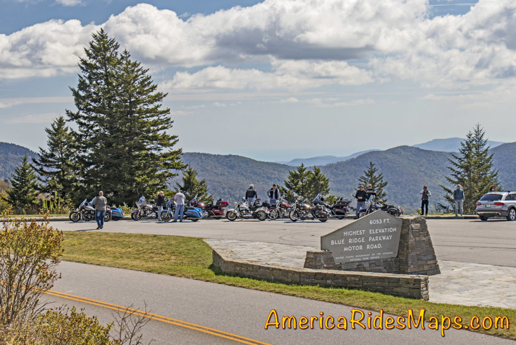 The Blue Ridge Parkway –
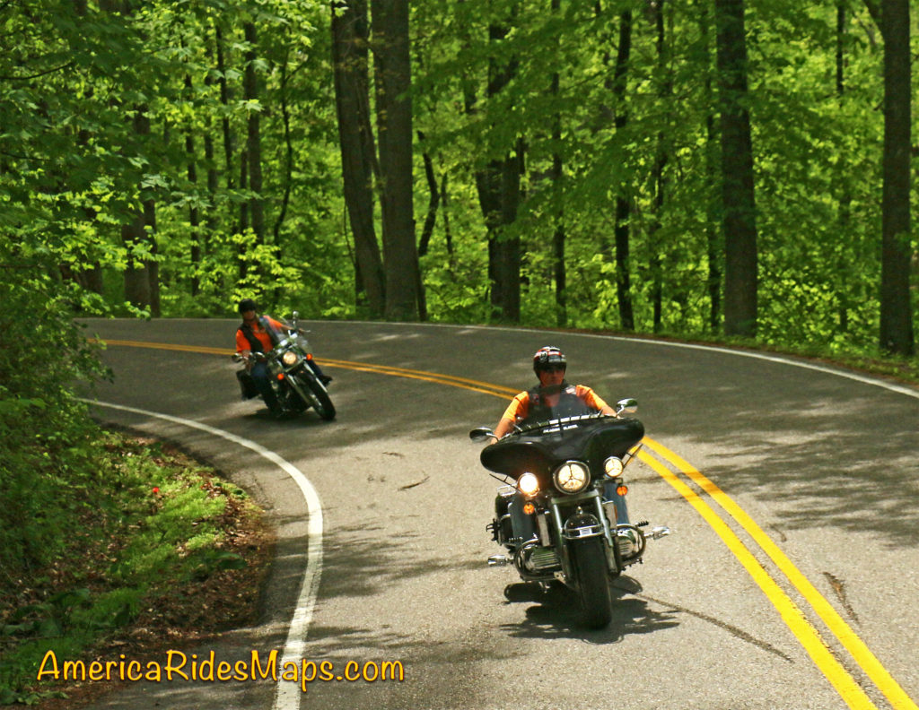


 America Rides Maps