You have no clue you’re passing through some sizable cities on a Blue Ridge Parkway ride – 10 minutes ride from a parkway exit puts you in the heart of Asheville, NC, a fun place to visit!
On a 469 mile long Blue Ridge Parkway ride you will pass through two cities – Roanoke in Virginia, and Asheville in North Carolina. Each has its “commuter zone”.
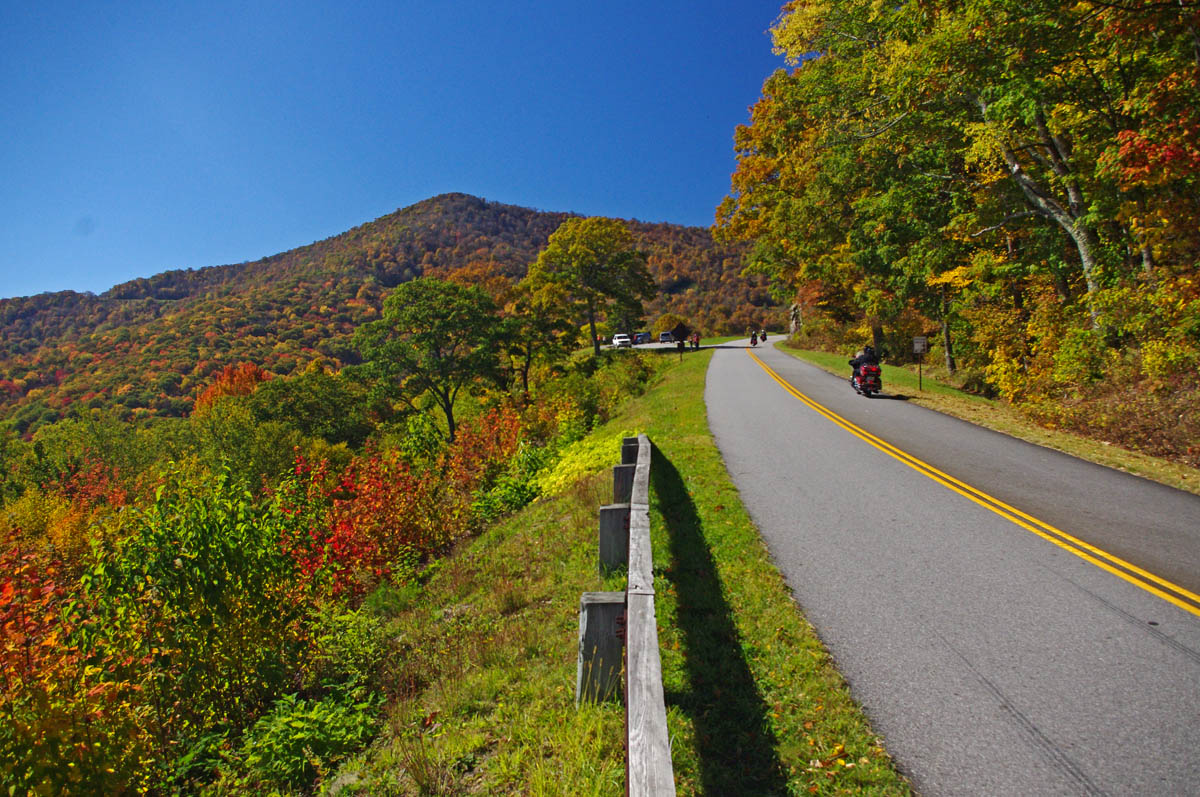
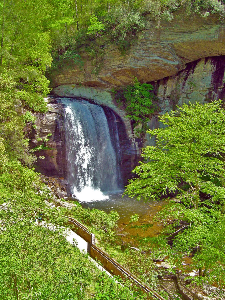
In both cities, the parkway weaves along the east edge of town then curves around to the south, though barely a hint of the surrounding neighborhoods are visible. Riding along you never see a downtown area at all nor any indication you are near a sizable city. It’s part of the magical illusion of a Blue Ridge Parkway ride. The views have been well protected over the years.
What’s a Commuter Zone?
There will be a handful of exits relatively close together as you pass through one of the cities on the Blue Ridge Parkway. For locals, the Blue Ridge Parkway is just one more road to get through town, a shortcut. A lot of local traffic hops on it to save time and zip an exit or two to the road they want.
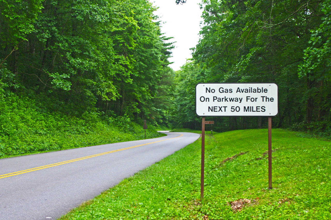
This sign is a legacy to when gas was available on the Blue Ridge Parkway. It should now read “No gas next 400 miles”. There is no gas on the Blue Ridge Parkway. Take advantage of close gas stations to the parkway in the commuter zones.
What you need to know about Parkway Commuter Zones –
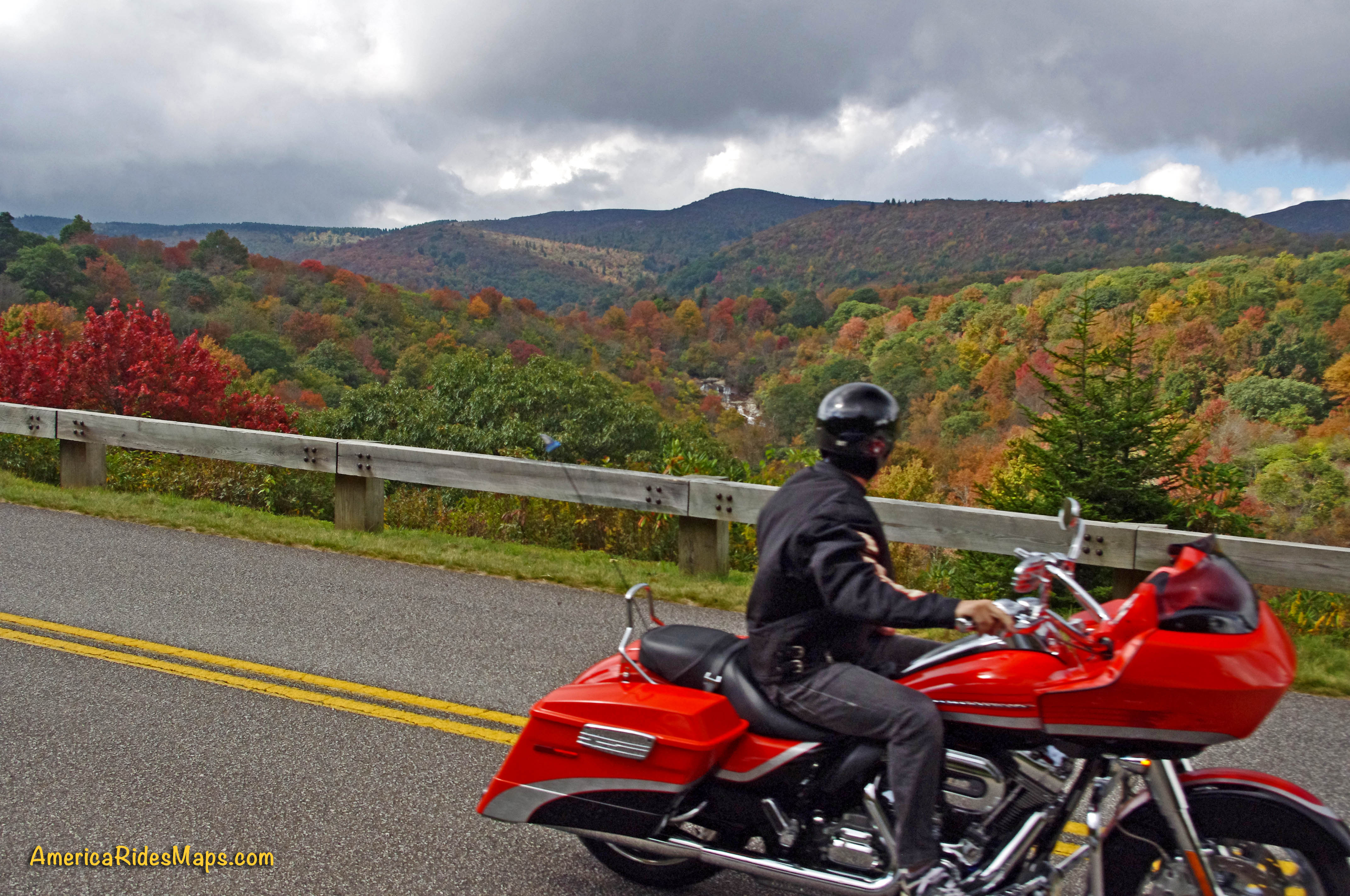
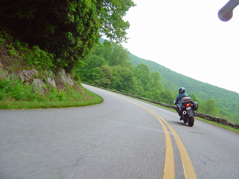
Expect more traffic and more aggressive traffic in the commuter zones on the Blue Ridge Parkway. Locals are hopping on the parkway to save time and they may push the speed limit.
The speed limit drops in some areas and it’s more heavily enforced in the commuter zones. The Asheville commuter zone of the Blue Ridge Parkway went to 35 mph last year to try to slow down the local traffic. Watch for the signs.
Enforcement is heavier near cities, especially in commuter zones. More traffic means more resources assigned to deal with it. Watch your speed whenever you feel you are getting into a populated area. You can also expect more attention near popular areas along the Blue Ridge Parkway.

Watch your speed and be alert in the commuter zones
Here are some places where I tell myself to roll back on the throttle when riding the Blue Ridge Parkway:
- From the Start of the Parkway in Virginia to Humpback Rocks
- Peaks of Otter area in Virginia, near Buchanan
- From 221 exit to 221 exit near Roanoke
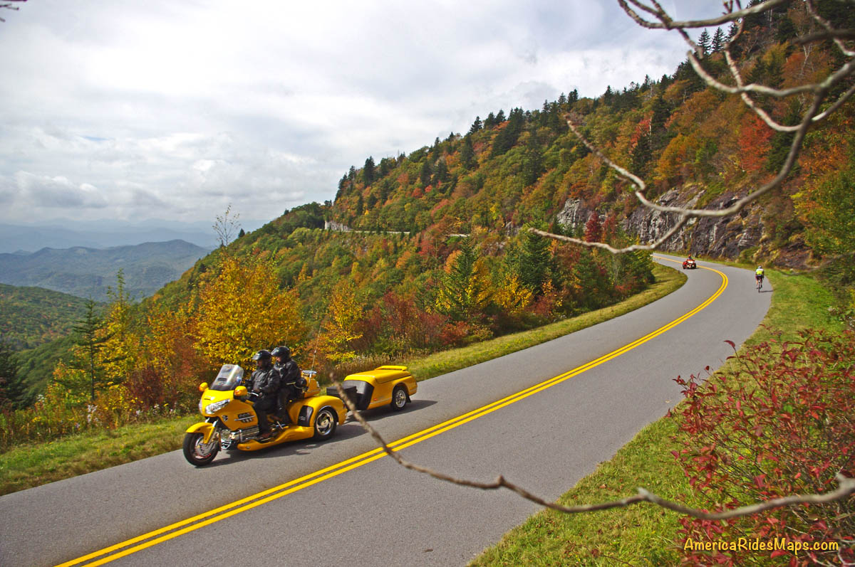
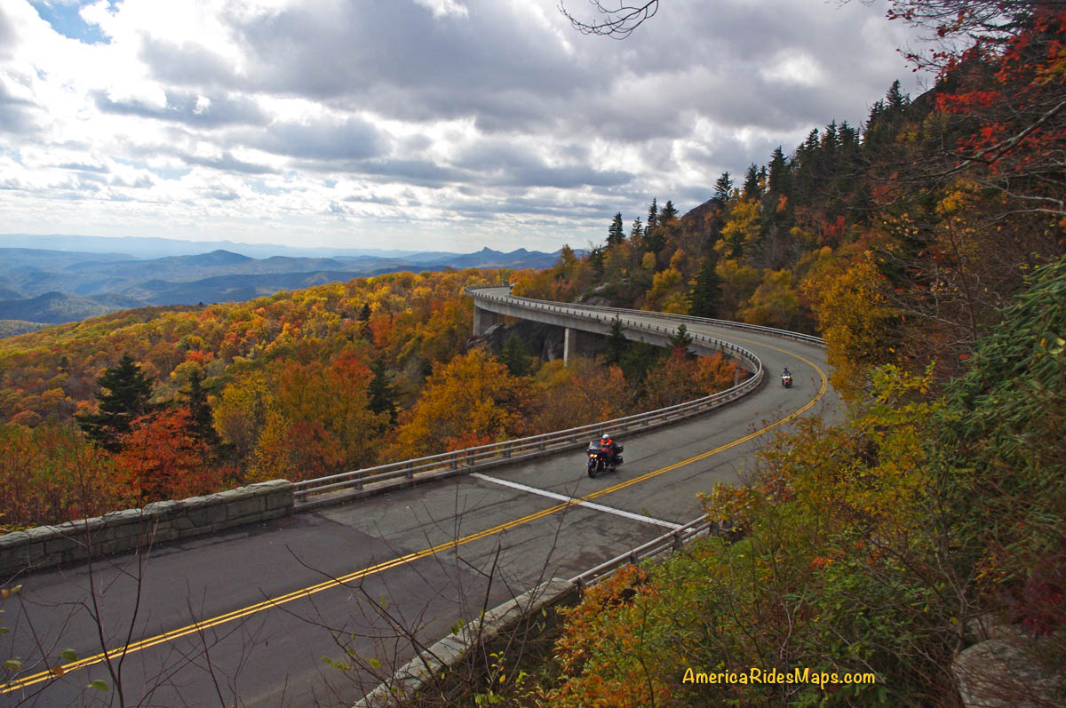
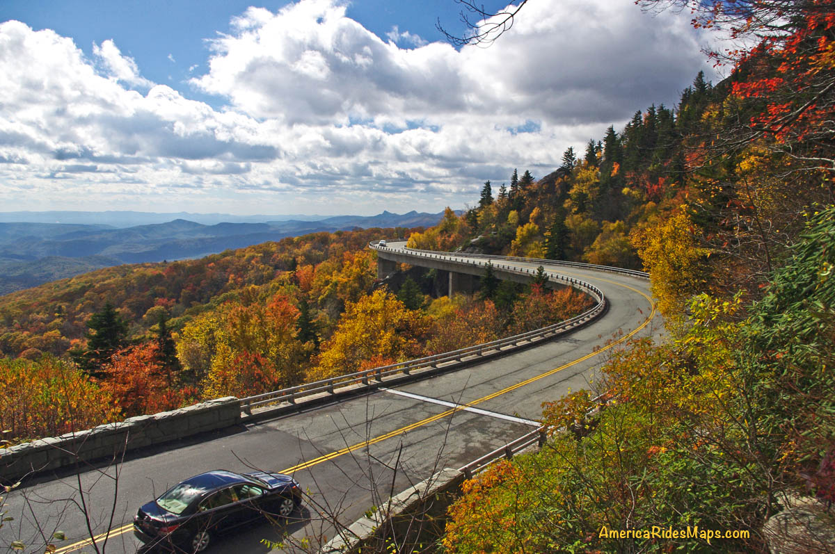
- Linn Cove Viaduct area near Blowing Rock
- Moses Cone / Julian Prince Park near Boone
- Altapass Hwy north of Spruce Pine / Little Switzerland
- Crabtree Falls area
- From Craggy Gardens through Asheville
- The southern section of the parkway into Cherokee
Be aware of and alert for these commuter zones near the cities along the Blue Ridge Parkway. There are few signs on the road, but if you see any indication you are approaching a congested area be alert and ready to deal with increased traffic with a different agenda than you.
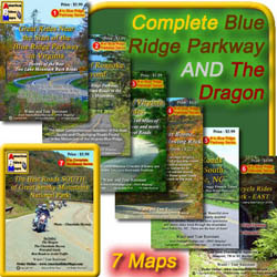
7 map Blue Ridge Parkway + The Dragon set
Get the maps!
http://shop.americaridesmaps.com/Blue-Ridge-Parkway-The-Dragon-Package-BRP12.htm
If you enjoy photos of motorcycle riding in the Blue Ridge and Smoky Mountains, like MY BLUE RIDGE MOTORCYCLING FACEBOOK PAGE.![]()
____________________________________________________________________

Wayne Busch
– Wayne Busch lives in Waynesville, NC, where he produces the most detailed and comprehensive and up-to-date motorcycle pocket maps of the Blue Ridge and Smoky Mountains to help you get the most of your vacation experience. See them here – AmericaRidesMaps.com
____________________________________________________________________