
Smoky Mountain Motorcycle Spring Road Report April 2013 – Current conditions for motorcycle touring and Blue Ridge Parkway riders;
Roads affected:
- Blue Ridge Parkway
- US 441 through Great Smoky Mountains National Park
- Cherohala Skyway
- Fires Creek Road near Hayesville, NC
- US 276 / NC 215 south of Waynesville, NC
- US 70 / 25 north of Hot Springs, NC
- NC 28 north of Franklin
- NC 197 near Bakersville
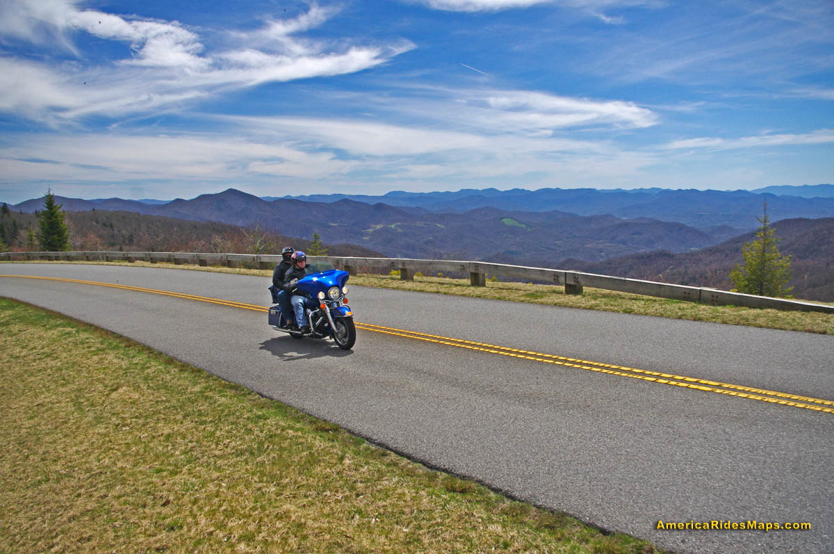
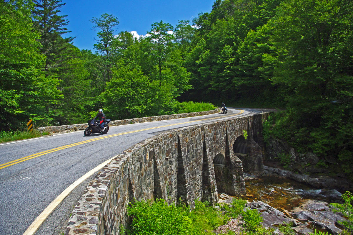
Spring on the Blue Ridge Parkway
Blue Ridge Parkway – One by one the incidents of road damage sustained over the winter are being or have been repaired. One significant situation remains – the closure of the Blue Ridge Parkway near Mt. Mitchell. Most recent reports indicate it will be resolved mid-May.
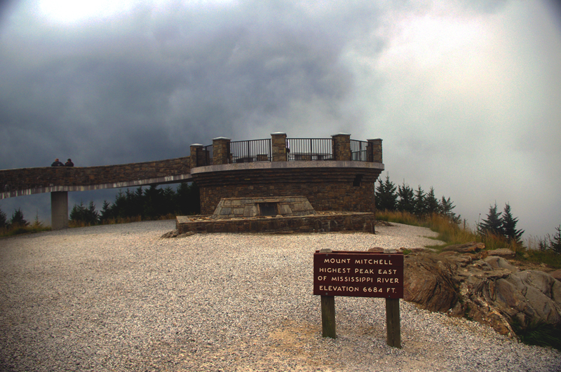
The observation tower atop Mt. Mitchell is worth the trip, but you have to approach from the north until the road is fixed. Pick a sunny clear day.
A section of the Blue Ridge Parkway on this long high lonely stretch of road has been subsiding and slipping down the mountainside for several years. Frequent riders will remember the noticeable dip in the road just south of the entrance to Mt. Mitchell State Park at NC 128. A slide occurred here several years back, it was important to address this situation before another took out the pavement again.
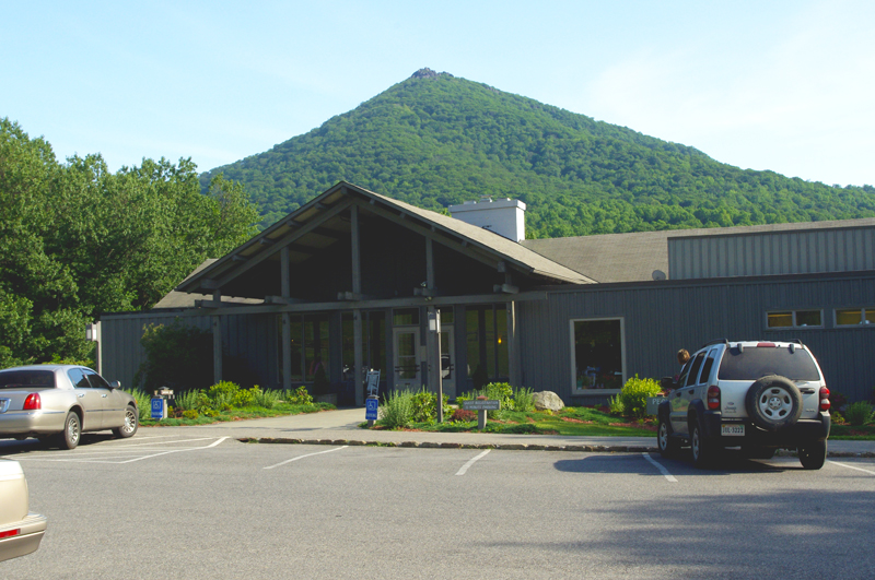
The Peaks of Otter Lodge on the Blue Ridge Parkway will reopen soon.
The Peaks of Otter Lodge north of Roanoke is currently closed, though a new concessionaire has taken the contract and it is expected to open soon. Bluffs Lodge at Doughton Park in NC will remain closed this season, looks like the campground will be open. The Pisgah Inn opened early south of Asheville. Crabtree Falls visitor center is closed this year.
For a detailed list of Parkway facilities and schedule go here – http://www.nps.gov/blri/parknews/blue-ridge-parkway-releases-2013-season-opening-schedule.htm
Download a free printable detour map here – http://smokymountainrider.com/Downloads/parkway-closure-2013.pdf
US 441 through Great Smoky Mountains National Park – Open
The newly repaired section of US 441 in Great Smoky Mountains National Park
Work to repair a landslide on the North Carolina side of the only paved road crossing the park was completed a month ahead of schedule. The remained of the road is open though a few of the roadside attractions like Chimney Tops are closed. Several of the unpaved roads in the park may not open this year due to cutbacks including Heintooga Ridge Road and Balsam Mountain Road.
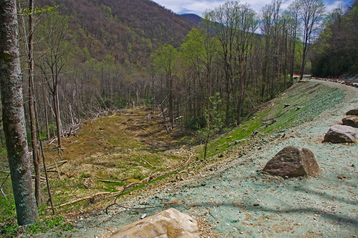
View of the slide damage below the repairs.
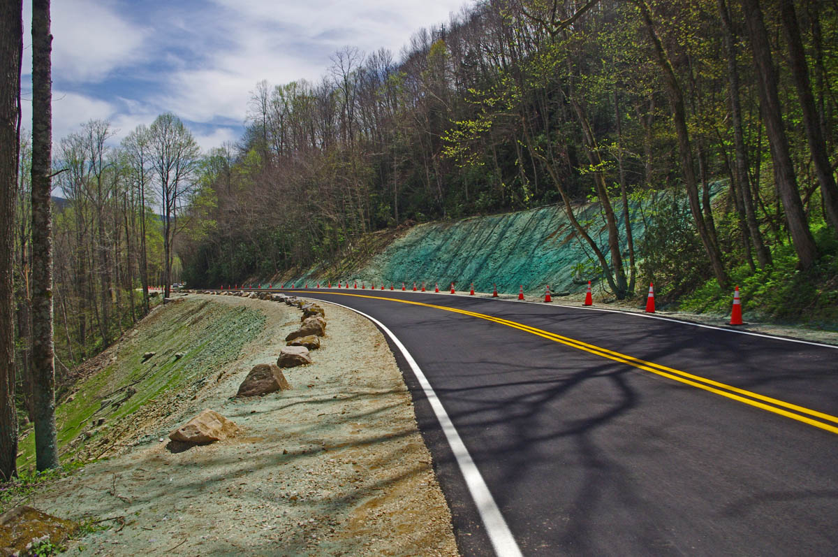
Cherohala Skyway – one lane closed, work continues

Work at the landslide on the Cherohala Skyway is progressing well.
Work on the landslide on the Cherohala Skyway is progressing well. Located on the North Carolina side close to the state line, one lane is closed with traffic regulated through the construction zone with temporary traffic lights and a short delay. Expect to encounter trucks hauling fill on the North Carolina side of the ride. You’ll find a little gravel on the road near the detour, but it is generally clean and in great condition.
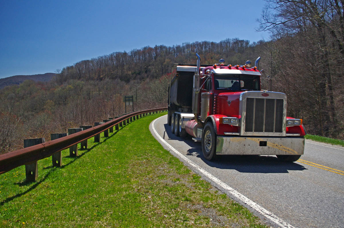
You will run into trucks hailing fill on the North Carolina side of the slide.
Fires Creek Road – closed for bridge work
A little known road north of Hayesville, NC, and one of my personal favorites to get away from the congestion on US 64, the road is closed for bridge work through October. Such a nice ride. If I scout a better detour, will post.
NC 215 / US 276 – conditions
These two classic roads south of Waynesville / Maggie Valley both intersect the Blue Ridge Parkway at their midpoints. Each was repaved last year and are very popular rides.

Great Motorcycle Rides in North Carolina – Pisgah Triangles – US 276 junction with the Blue Ridge Parkway. As both NC 215 and US 276 connect, you can always hop up and take a quick break with the best of views.
US 276 got a decent paving job and is in good condition. Be wary of gravel in the tight turns on the steep section climbing to reach the Blue Ridge Parkway on the north side. The roadsides were lined with fresh gravel, and it gets kicked into the road by cars and trucks on some of the sharpest curves. Not bad, but be alert.
NC 215 got a “tar and chip” coating which leveled and filled the potholes and cracks, but the surface remains loose in the higher sections. It has improved significantly over the winter. Still watching this road closely as there has been paving equipment parked on the roadside for a few weeks now. A top coat of new asphalt would make this road so much nicer, it could be the destination ride of the season. Will continue to monitor closely and keep my fingers crossed.
The higher you go the better it gets on NC 215. The road crests where it meets the Blue Ridge Parkway, then plunges down the other side of the gap.
US 70 / 25 north of Hot Springs, NC

They don’t make ’em like that anymore! Look at that beautiful 1928 architecture. Detour via Fugate Road. The best thing about the detour is you get to see the bridge!
The bridge across the French Broad River will remain closed this year at the state line between North Carolina and Tennessee. This section of road connects Hot Springs, NC to Newport, TN. Use Fugate road as a detour. More info / photos here – http://smokymountainrider.com/?p=4239
NC 28 north of Franklin, NC –
One lane closed, sometimes short delays until May 1 as road is widened in this section north of town.
NC 197 near Bakersville, NC –
Bridge replacement through June 30. Detour marked.
____________________________________________________________________

Wayne Busch
– Wayne Busch lives in Waynesville, NC, where he produces the most detailed and comprehensive and up-to-date motorcycle pocket maps of the Blue Ridge and Smoky Mountains to help you get the most of your vacation experience. See them here – AmericaRidesMaps.com
Learn Total Control
Wayne is an advanced motorcycle instructor for Total Rider Tech teaching Lee Parks Total Control Advanced Rider Courses. Isn’t it time you looked into advanced rider training to ride more confidently and safely? It can transform your mountain riding experience. Total Rider Tech
____________________________________________________________________


