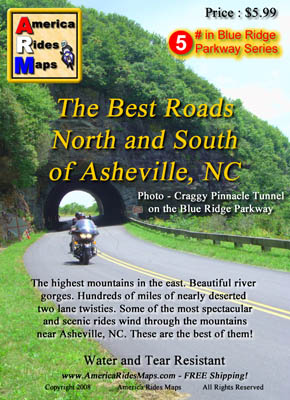
Your Fall Leaf-peeping Motorcycle Trip to the Smokies – Tips

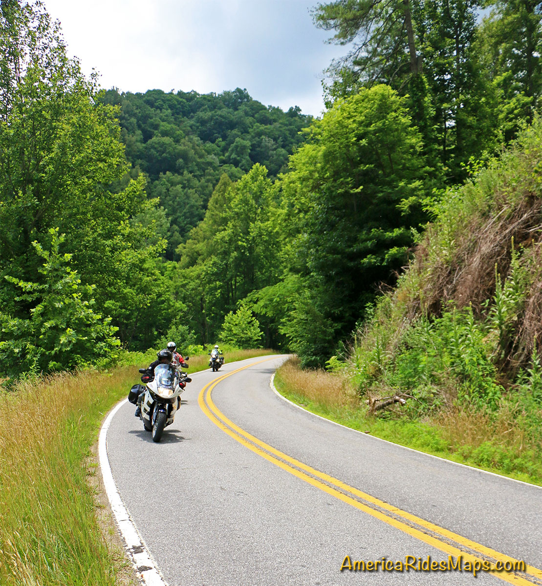
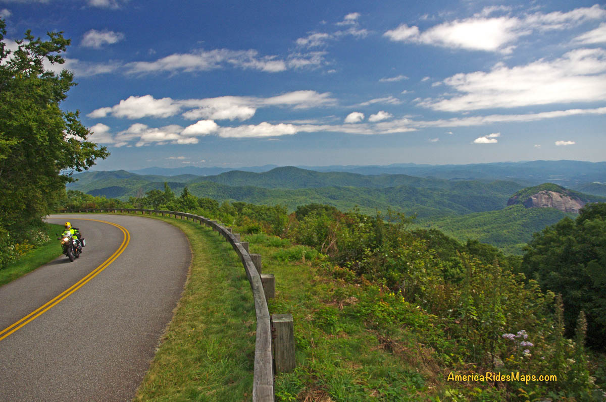
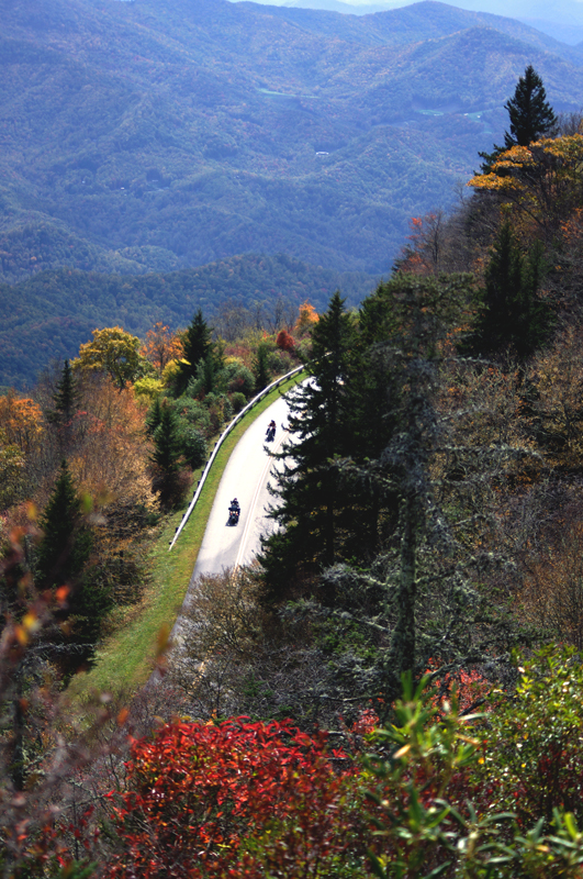
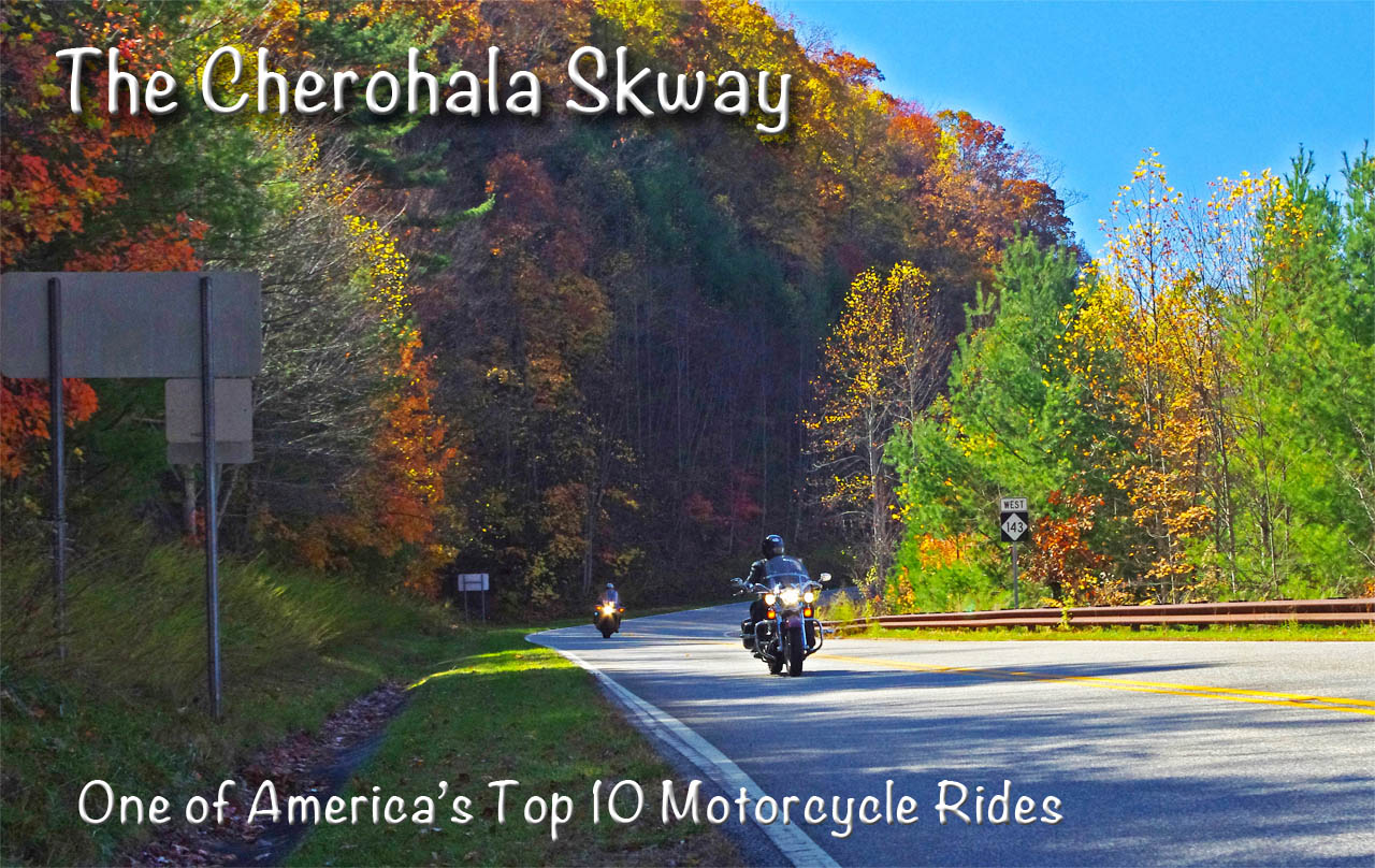
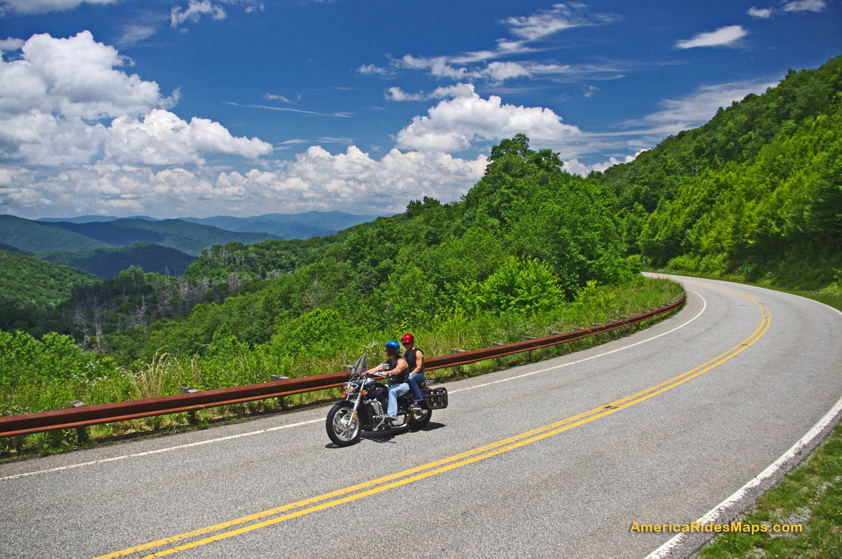
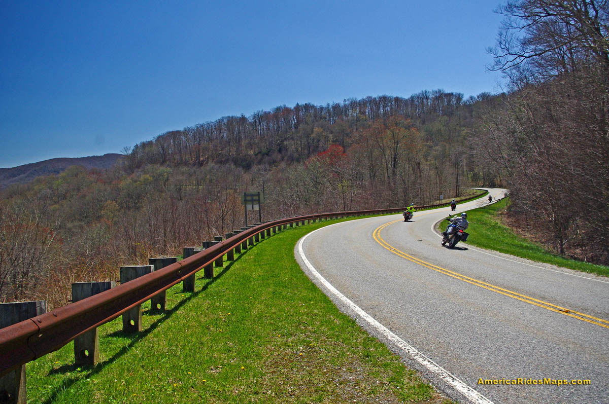
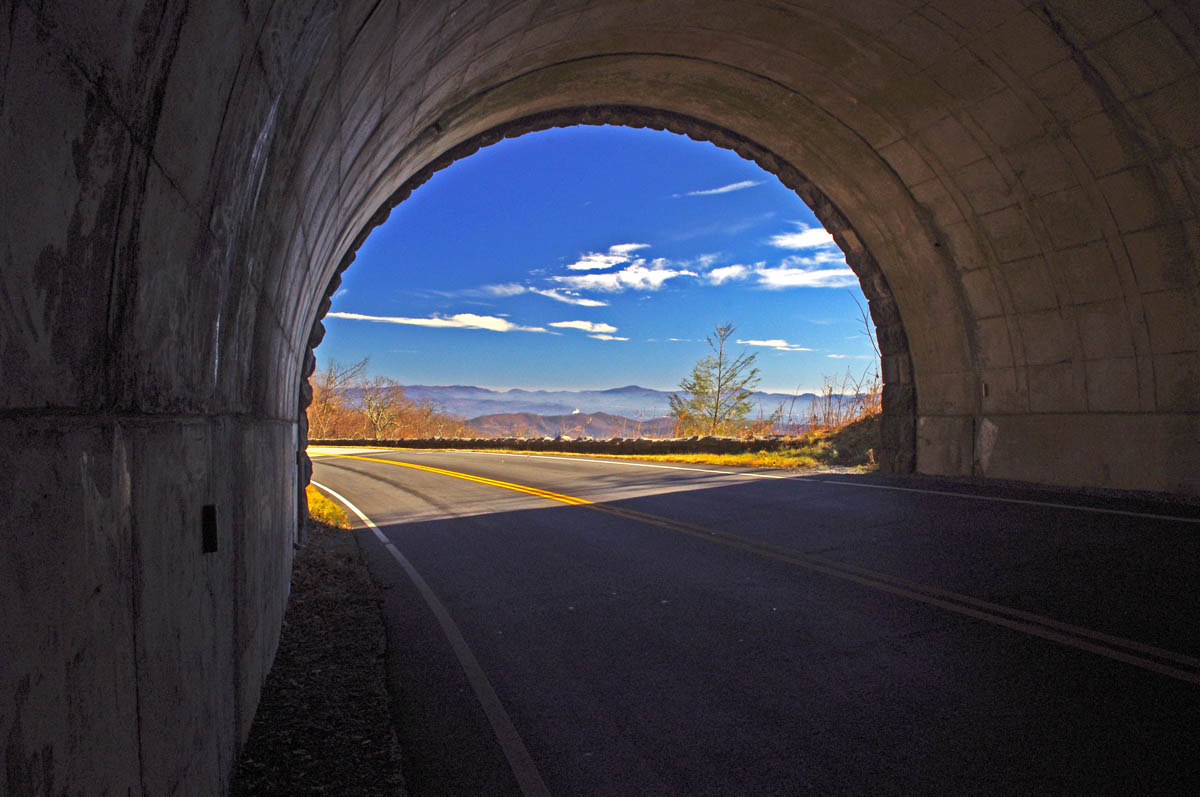
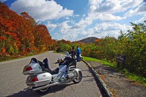
Some of the best views will be from the heights of the Blue Ridge Parkway.
It’s that time of year again, the brief lull before the start of the peak of the tourist season in the Smoky Mountains. It’s a good time to pass along some last minute tips and advice to those planning to come see natures spectacular autumn show.
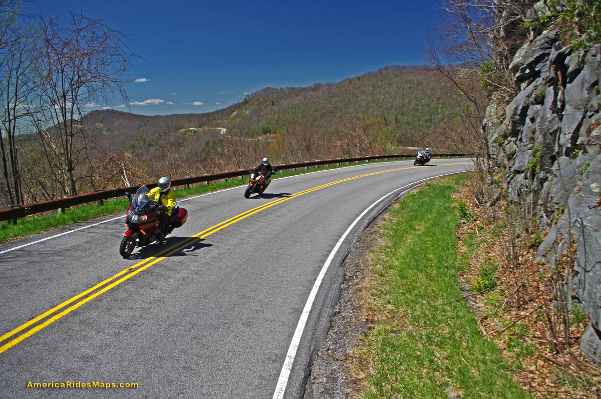
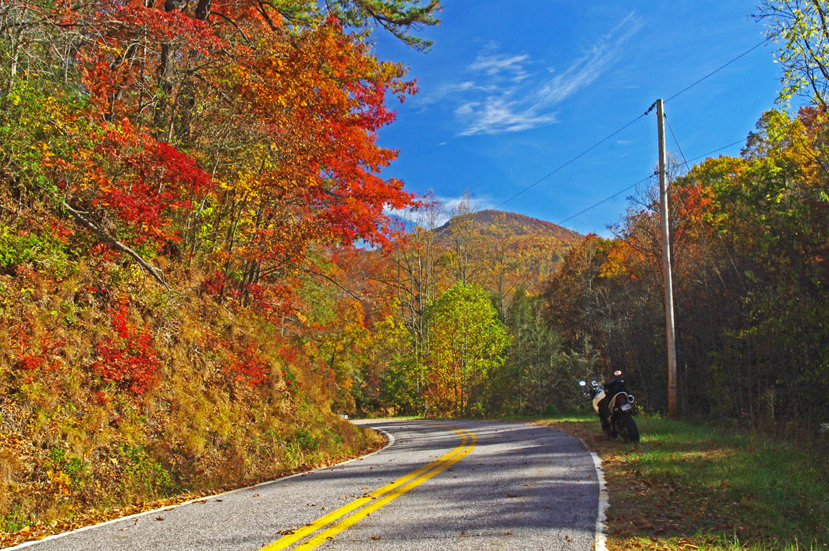
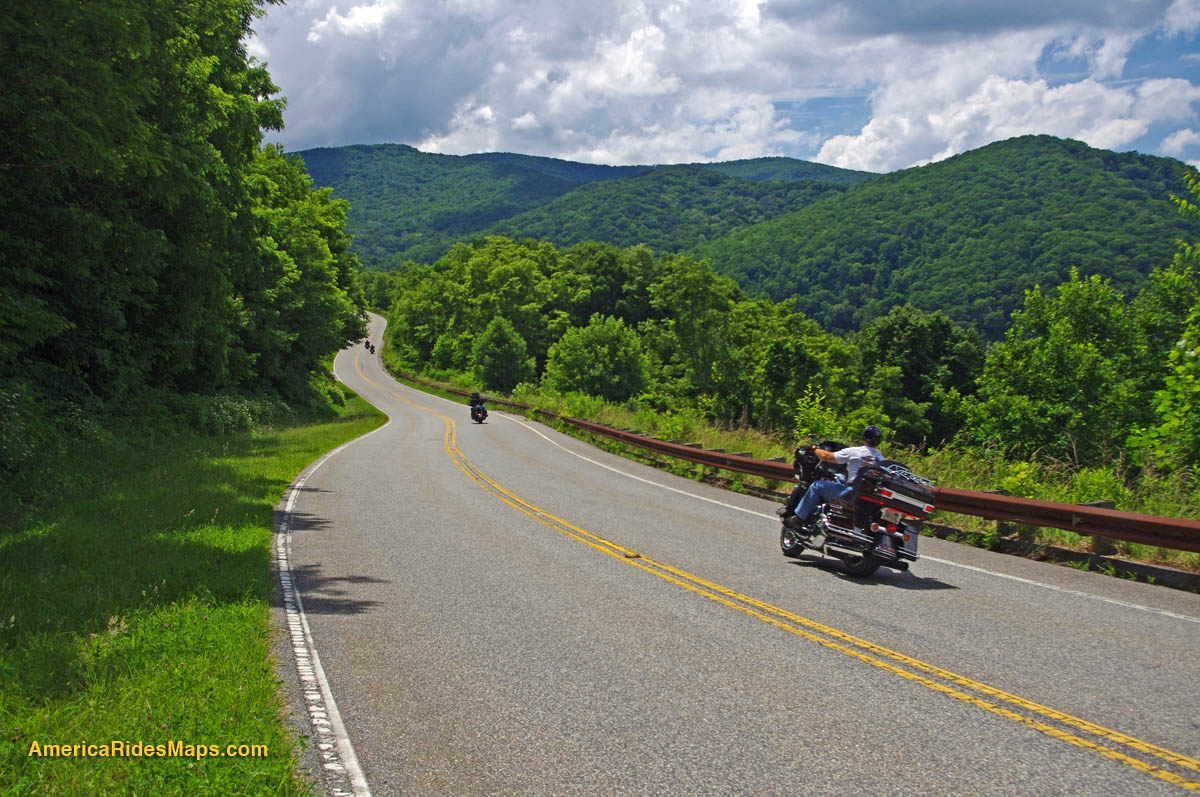
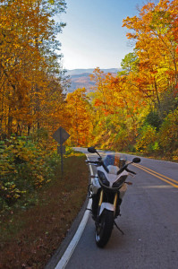
You don’t have to go far to find great scenery
Last minute advice – Get a room! If it’s your first visit to the Smoky Mountains on a fall motorcycle tour for leaf season, you don’t yet know how “last minute” this advice is. The nicest places to stay and most of the motorcycle friendly sites took reservations last year, they are probably booked. You can try calling, but you’re probably relegated to the second tier establishements. If you “wing it” you’ll be looking for adventure in the third tier or bouncing between crowded campgrounds.

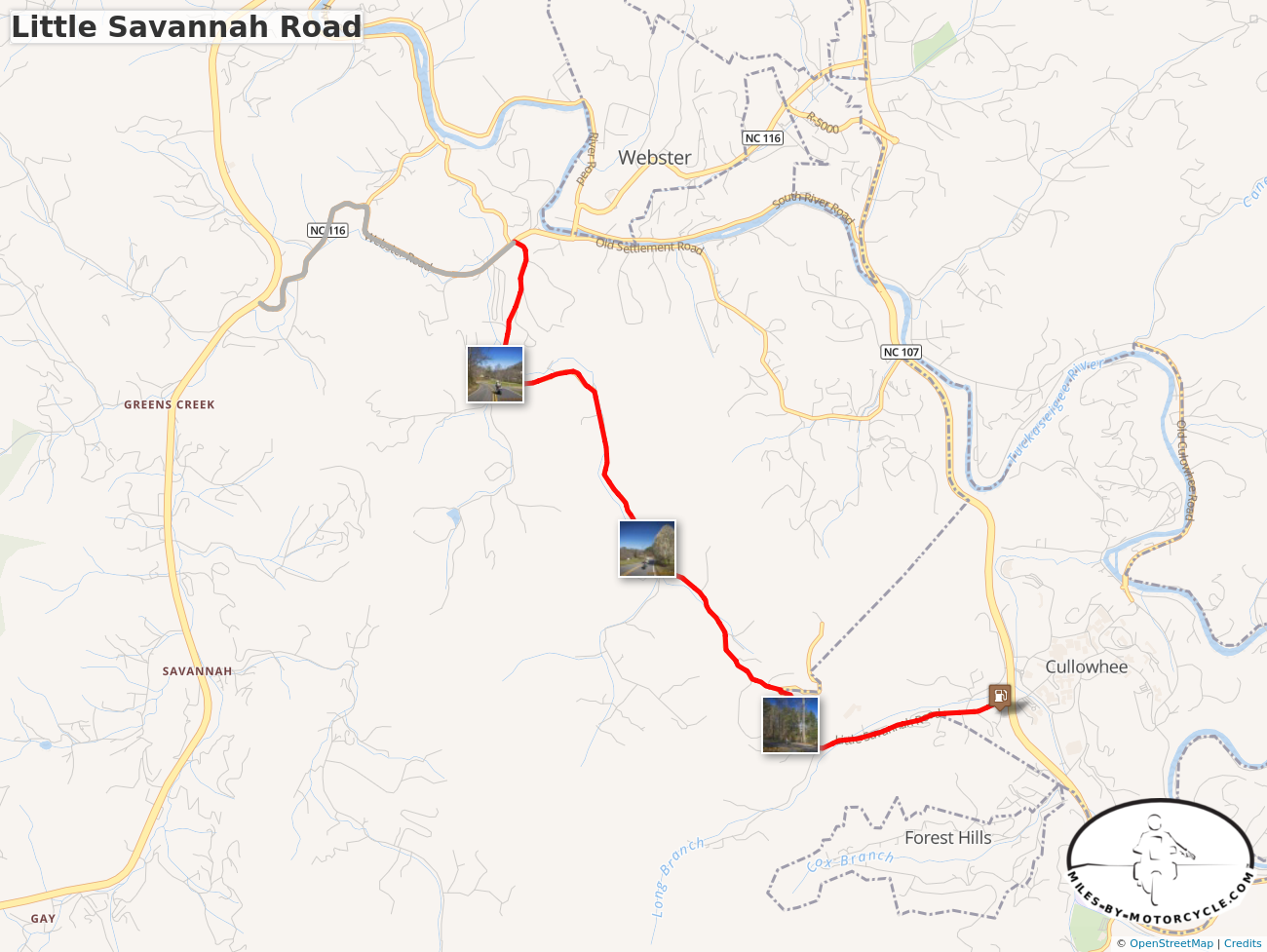
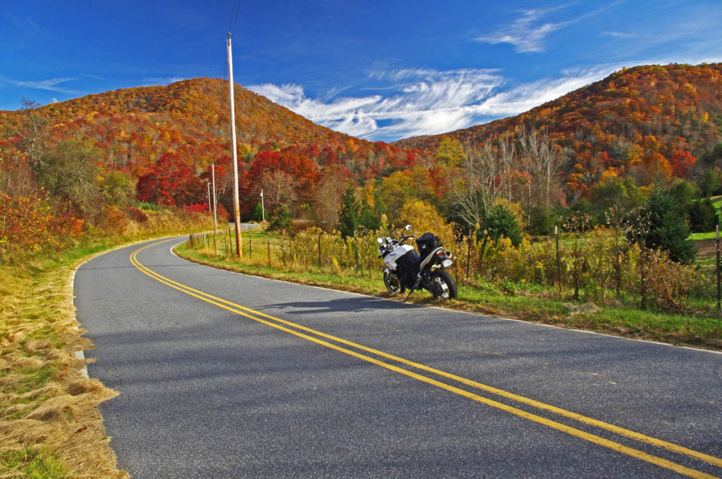
Tanassi Creek Road – all yours, no traffic!
Tip – you’ll be back. There is no way you can hit all the best roads on one trip, even two trips. Some are worth coming back and riding again. If you really like the experience and find a base camp that treats you well, book ahead for next year.
Last minute advice – when is peak leaf viewing? Depends and varies. Were I to pick one (OK, 2 dates) for the Smokies, it would be Oct 16-17. Leaf color depends on climate conditions over the year. It takes a cold snap to make the leaves snap and the right mix of wet and dry. Who knows?
Becky Mountain Road
Tip – Leaf season is longer than it seems – That “peak of color” date is misleading. Due to the changes in altitude, the leaf change occurs at different rates at different altitudes. There are several weeks to either side of the announced peak date when the leaves will be spectacular, but limited within the altitude. High areas change early, valleys change later. There is still good leaf color into November at the lower altitudes.
Last minute advice – What will the weather be like? While it’s typically a dryer time of year, it’s also one of those transitional periods where we fluctuate between a couple warm days then a few colder ones. Cold fronts usually come through hard and fast, warm ones kinda drift in with gentle rains. On nice sunny days the temperatures may rise well into the 60’s, even 70’s. But, a damp and cloudy day in the 50’s can feel mighty chilly when the winds pick up atop the mountains. Morning lows will generally be in the 40’s, though a cold snap will bring frost (and help the leaves have good color).

Ellijay Road – beautiful and fun!
Tip – Bring warm gloves, a good jacket, and several layers. Mornings are typically foggy, an early start may mean the views are obscured. Don’t be in a rush to get to the mountaintops. As always, throw the rain suit in just in case. If you’ve got an open helmet, consider face protection.
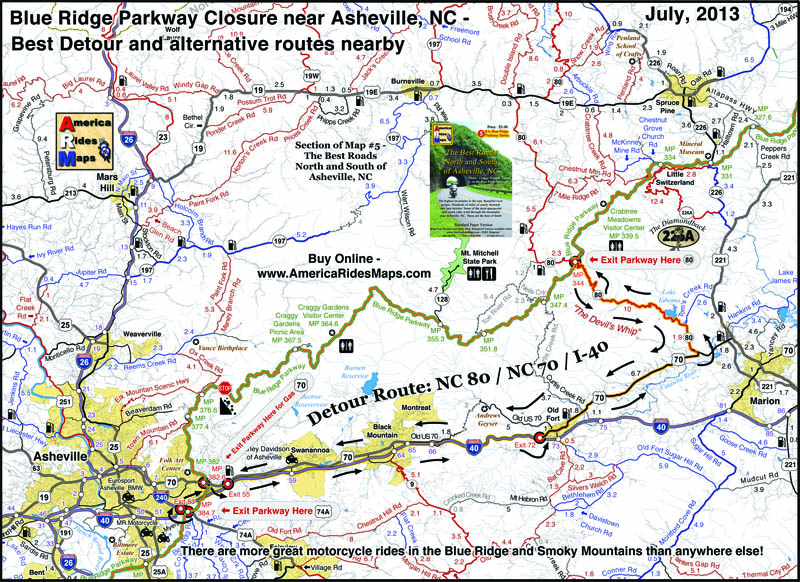
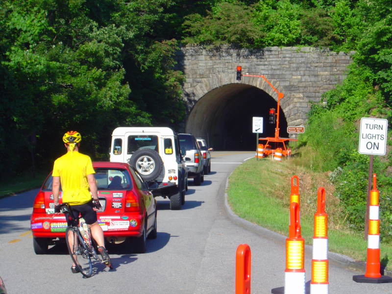
Advice – What about the traffic? While millions will flock to the mountains to see the fall show, their patterns are predictable. Weekends, especially afternoons, will find the popular places like Great Smoky Mountains National Park, Chimney Rock, The Dragon, and the Parkways congested. Mornings are the better times to pass through the busier areas.

View from Waterrock Knob
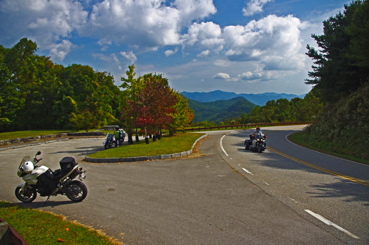
Tip – try to hit those most popular areas during the week. They are definitely worth visiting, but you will enjoy them more if you can be riding, not idling. On the busiest days, there are still hundreds of great, fun, empty 2 lane back roads for you to enjoy riding, and they are all lined with colorful trees where the leaf-peepers rarely stray.
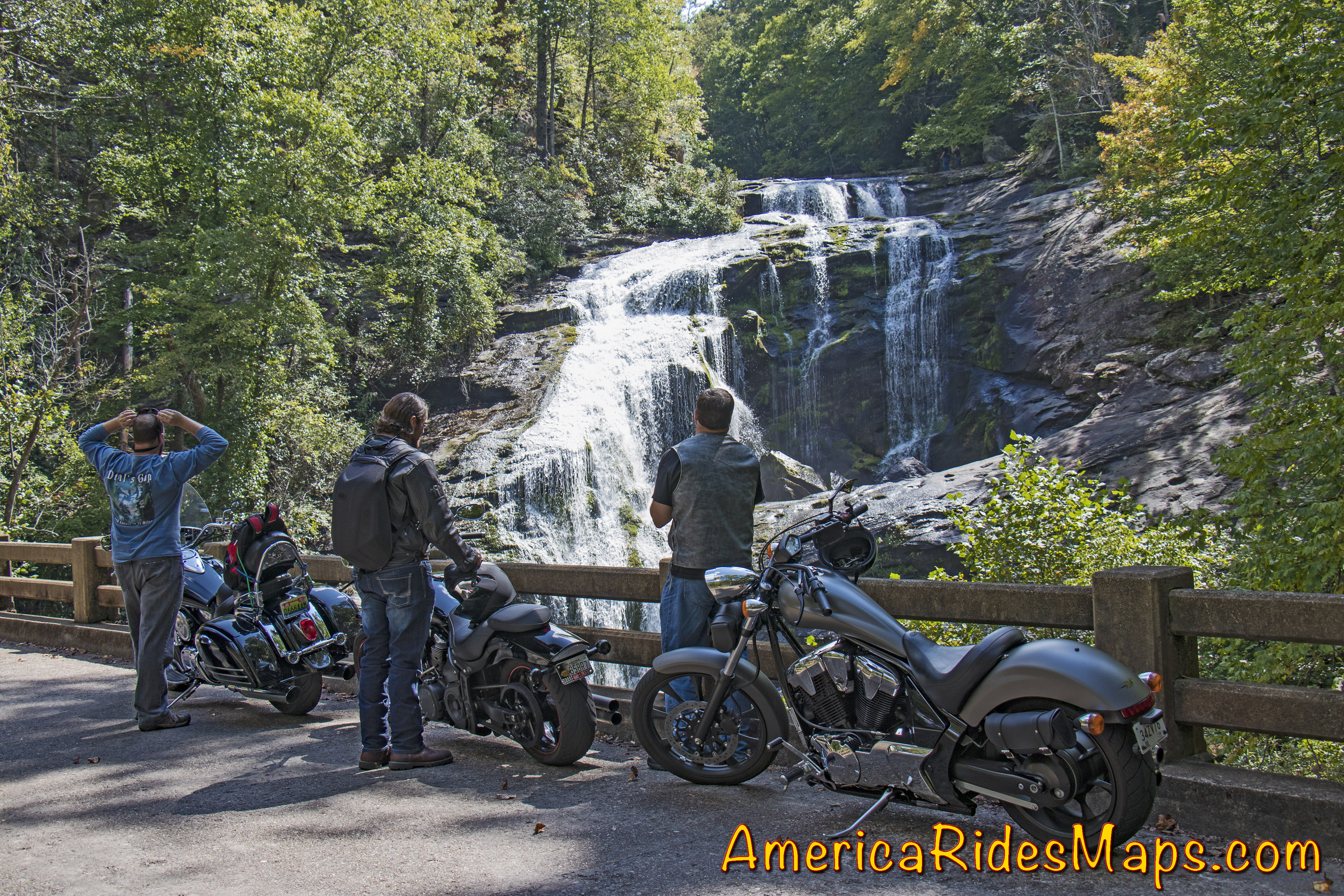
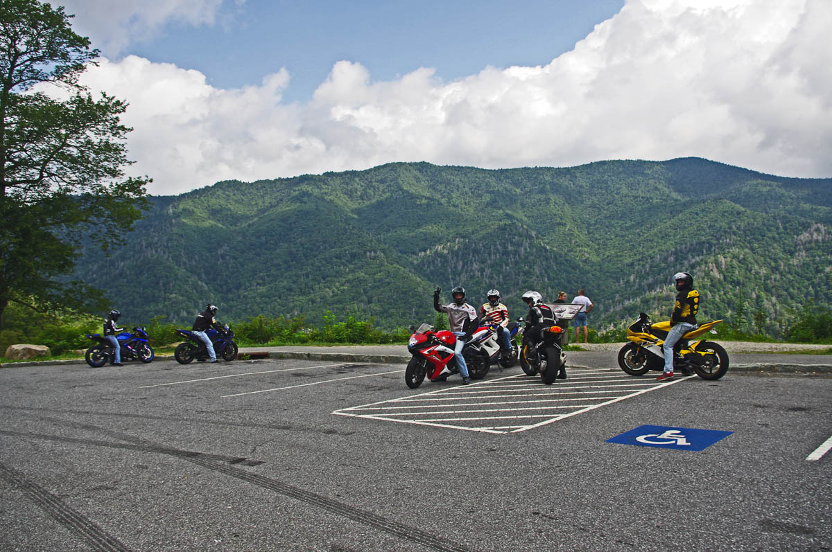
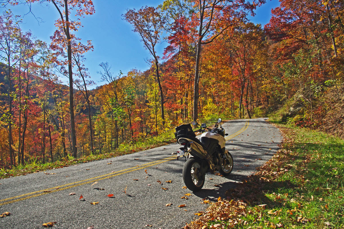
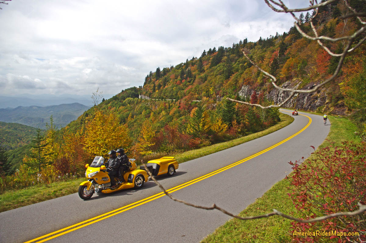
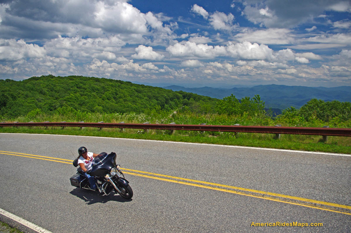
Advice – What should I watch out for? Be extra cautious when riding. Half the people out there may be tourists paying more attention to the scenery than the road. Be ready for the unexpected (like a car stopped dead in the road to take a photo on a curve). Same goes for you riders – use the numerous overlooks and pull offs to get the best views. Several motorcycles ride off the mountainsides each year when the driver was distracted by gorgeous the views. Pull over!

Enjoy the ride but pull over to enjoy the scenery. Don’t ride off into the sunset – it’s a long way down.
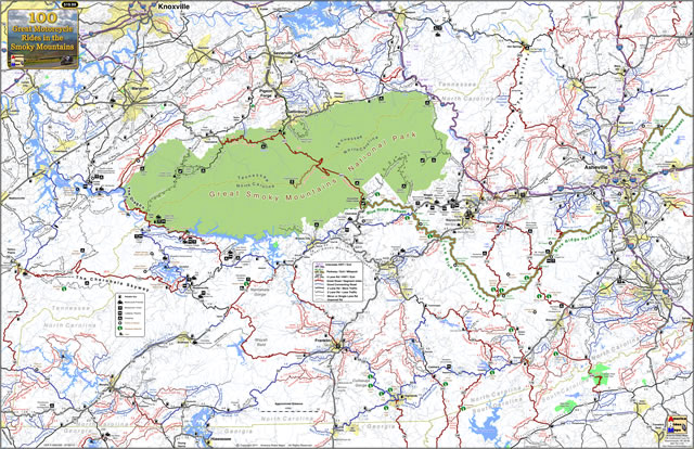
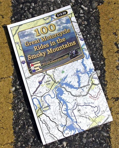
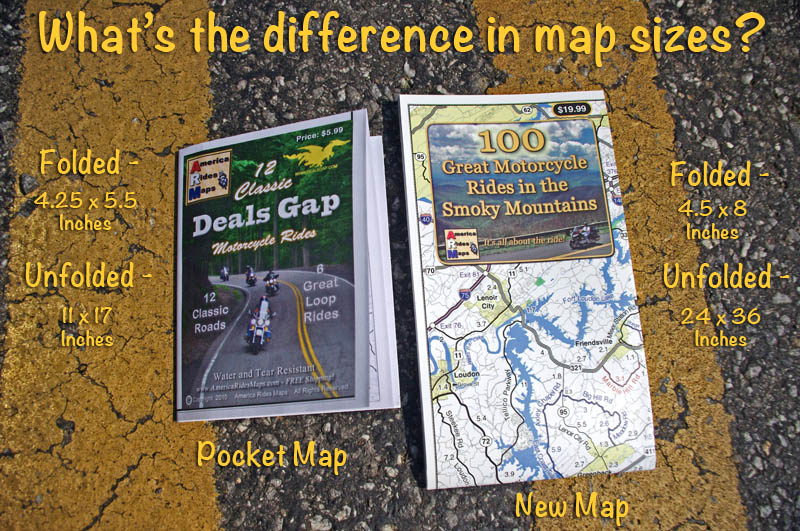
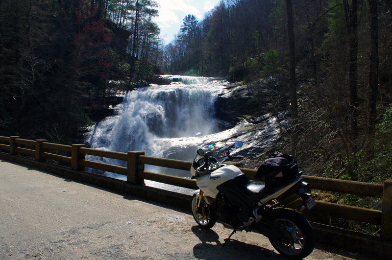
Tip – when traffic is heavy, best to avoid it. Get off the main roads, divert around towns, and look for those tiny back roads others bypass. You’ll have much more fun, see things others never do, and discover reasons to come back and ride more during the off season. Just one or two of my pocket maps will insure you have the best motorcycle vacation ever – they show you all the great back roads.
Charlie’s Creek Road – Not only will you find some of the best hidden pockets of leaf color, but you’ll have one of the best rides of your life.
____________________________________________________________________

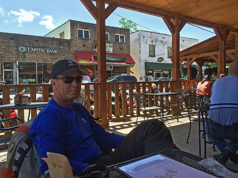
Wayne Busch
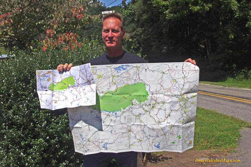
– Wayne Busch lives in Waynesville, NC, where he produces the most detailed and comprehensive and up-to-date motorcycle pocket maps of the Blue Ridge and Smoky Mountains to help you get the most of your vacation experience. See them here – AmericaRidesMaps.com

Learn Total Control
Wayne is an advanced motorcycle instructor for Total Rider Tech teaching Lee Parks Total Control Advanced Rider Courses. Isn’t it time you looked into advanced rider training to ride more confidently and safely? It can transform your mountain riding experience. Total Rider Tech
____________________________________________________________________