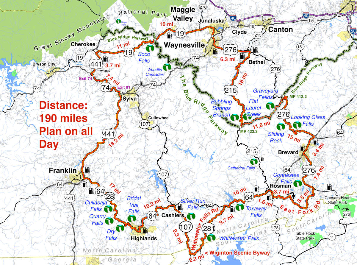
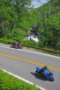
Tour more than 1 dozen roadside waterfalls on this long and scenic day ride.

Smoky Mountains Waterfalls Motorcycle Ride – click for large view
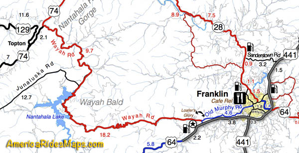
Overview:
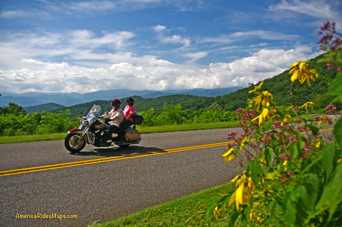
Start in Maggie Valley. Follow US 19 west to 441 at Cherokee. Soco Falls on route. Follow US 441 south to Franklin, then US 64 / NC 28 to Highlands. 4 falls along road. Highlands to Cashiers on US 64, then loop south on 107 / 281 to see 2 more. Continue east on US 64, detour south of Brevard then onto US 276 to the Blue Ridge Parkway (3 more) Ride the Parkway to NC 215 then follow it back to US 276 and into Maggie Valley.
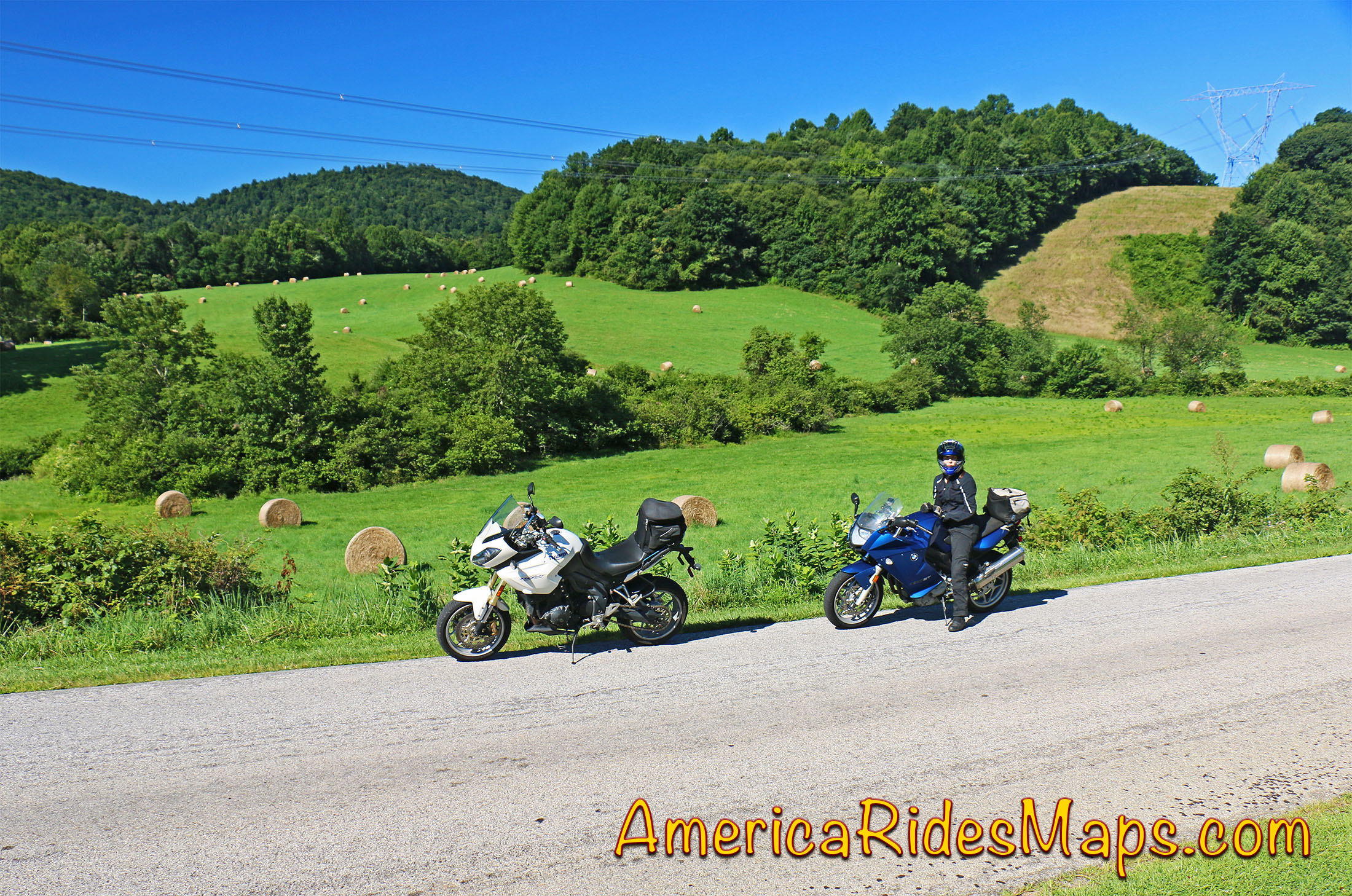
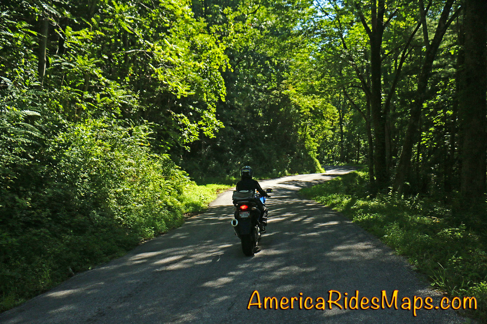
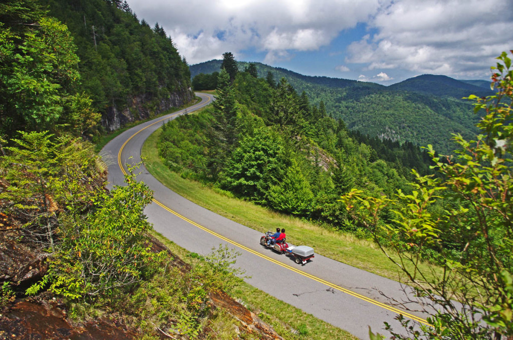
Discover the hidden secrets on your motorcycle travels in the Blue Ridge and Smoky Mountains
Detailed Route:
Distance: 190 miles.
Time: All day ride.
Easy to moderate difficulty
Before you go:
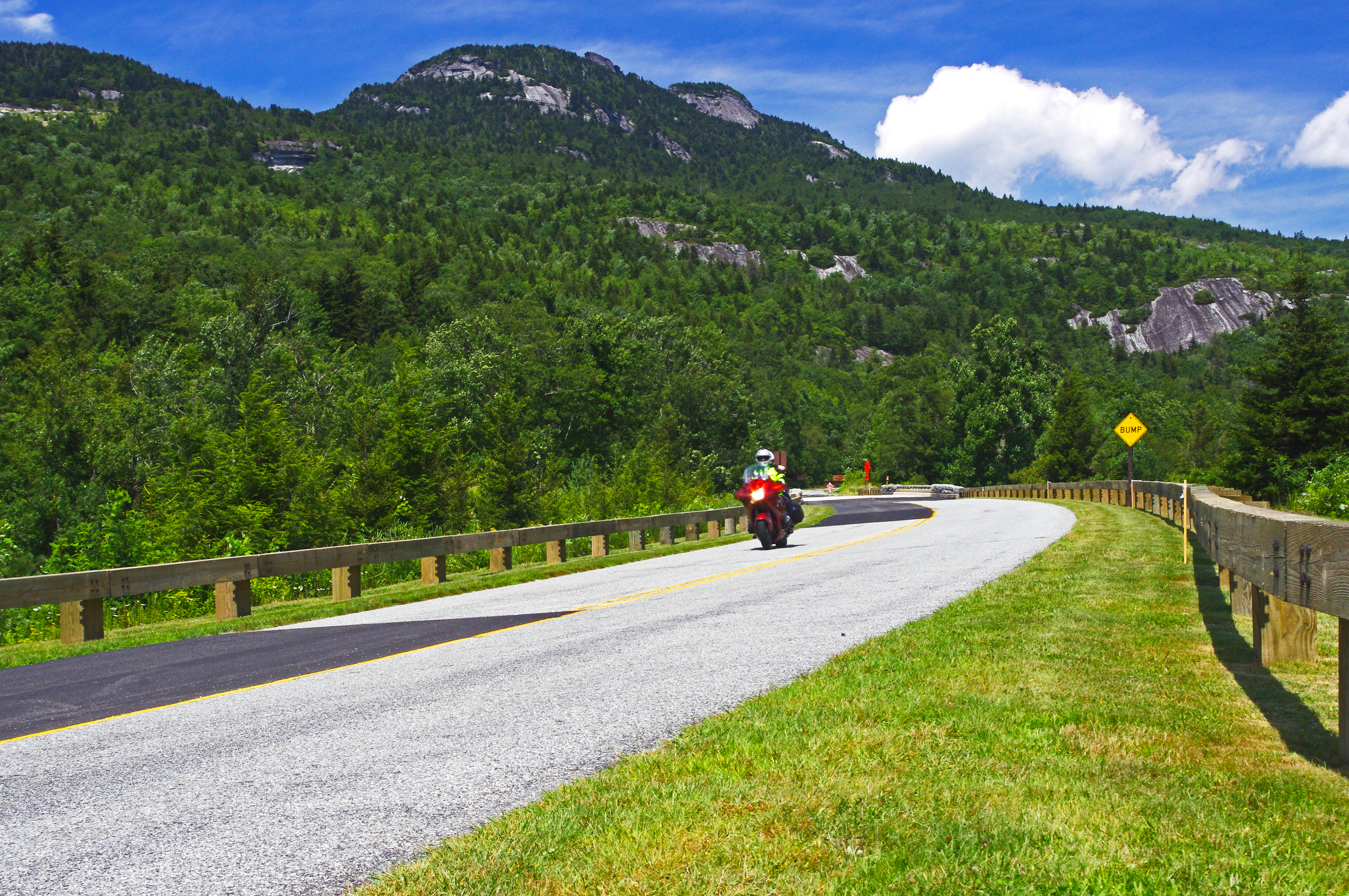
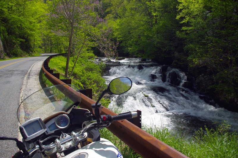
- Exercise caution! – These are roadside waterfalls, some which are on busy roads with blind curves and limited pull-outs. Pull out with confidence and vigor.
- Look but don’t touch – Dangerous conditions lurk around waterfalls. Visitors are killed every year. Very slippery rocks. Powerful currents. Deadly drops.
- Plan on more time – Several waterfalls require short walks to get the views. Allow time for multiple stops and photos.
Route:
Easy to find Bubbling Springs Branch is on a sharp curve where it flows under NC 215.
Start in Maggie Valley. Follow US 19 west.
4.1 mi Pass under Blue Ridge Parkway
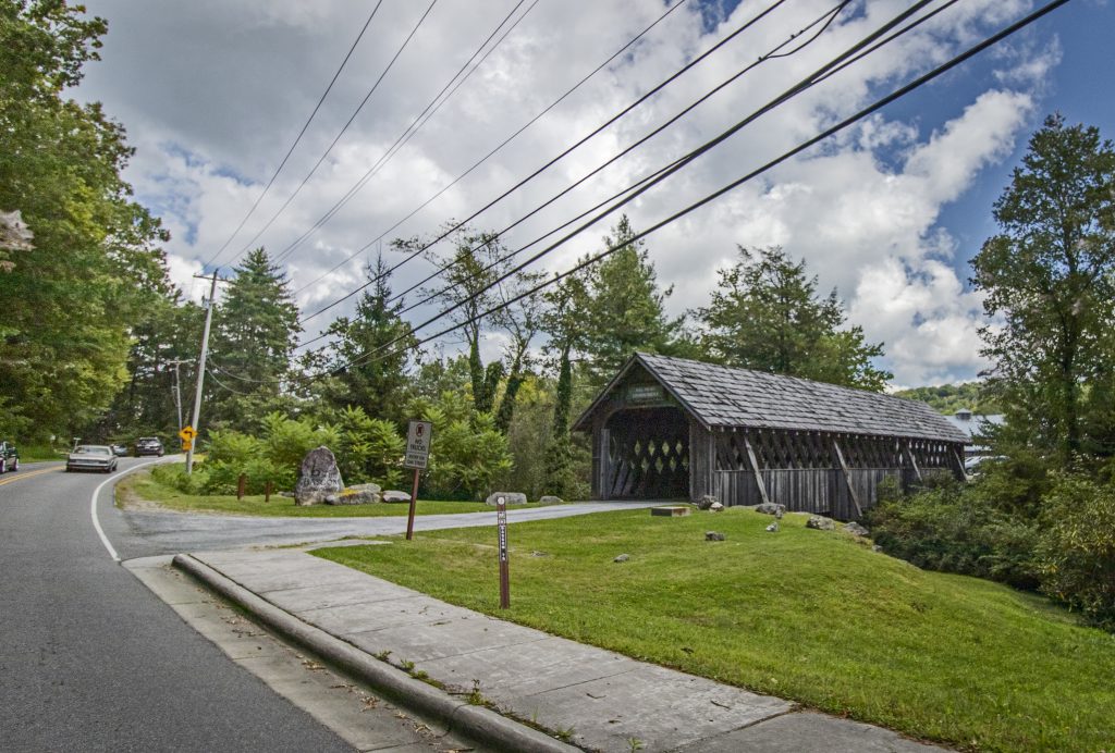
5.7 mi – Soco Falls. Gravel pull off on left with small signs. Downhill section of road on a curve. Can’t be seen from road. Path and boardwalk lead to 2 converging waterfalls.
15.2 mi Turn left @ traffic light at casino for shortcut to US 441 south. Junction US 19 and Casino Road.
16 mi Turn left @ traffic light onto US 441 south. Junction Casino Road and US 441.
20.1 mi Follow highway 23/74 east. Junction US 441 and highway 23/74 exit 74.
27.3 mi Follow US 441 south. Junction US 441 and highway 23/74 exit 81..
45.3 mi Exit US 441, follow US 64 / NC 28 east. Junction US 441 and US 64 / NC 28 at Franklin.
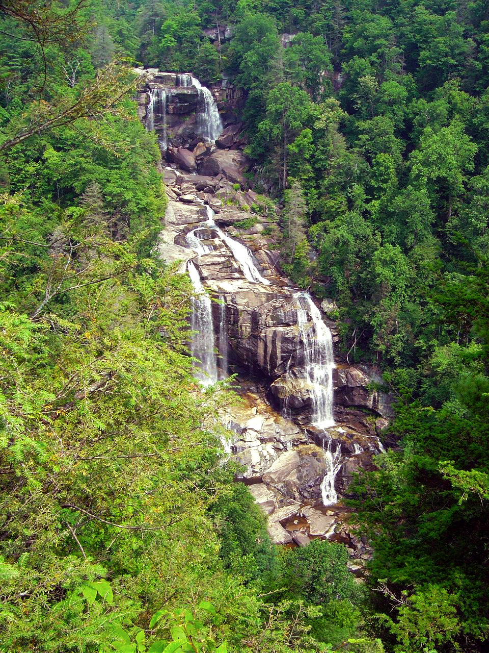
54.4 mi – Cullasaja Falls. Visible from road on right. Limited and hazardous parking near guardrail on sharp curve.
57.3 mi – Quarry Falls – Visible from road on right. Long paved pulloff on right side of road.
58.2 mi – Dry Falls – Not visible from road. Paved parking on right with signs. Short trail to waterfall. Path continues behind waterfall.
60.8 mi – Bridal Veil Falls – Visible from road on left. Paved pull off. Drive behind the waterfall for a photo.
With permission granted, I stand ready to help you have the ride of your life! Just say YES!
63.5 mi Turn left @ traffic light to continue on US 64. Junction US 64 and NC 28 downtown Highlands.
73.7 mi Turn right @ traffic light onto NC 107 south. Junction US 64 and NC 107 in Cashiers.
77.1 mi – Silver Run Falls – Not visible from road. Poorly marked gravel pull off on left. Trail leads into woods. 1/4 mile walk.
83 mi Turn left onto Wiginton Scenic Byway. Junction Wiginton Scenic Byway and NC 107.
85.2 mi Turn left @ stop sign to head north on NC 281 (Whitewater Falls Road). Junction Wiginton Scenic Byway and NC 281.
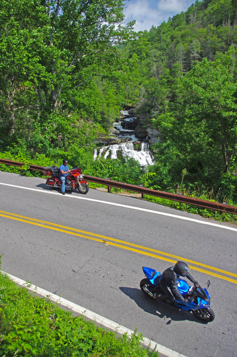
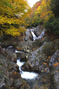
87.6 mi – Whitewater Falls State Park. Not visible from road. $2 fee. 1/4 mile paved walk. Highest waterfall in the east.
94.9 mi Turn right @ stop sign to continue east on US 64. Junction NC 281 and US 64.
97.1 – Toxaway Falls – Not visible from road. Road crosses dam with waterfall below. Difficult to get a good view. Park at Toxaway Village or along road on dam.
105 mi Turn right @ junction US 64 and US 178 at Rosman.
106 mi Turn right @ traffic light in Rosman, exit town.
107 mi Turn left onto East Fork Road. Junction US 178 (Pickins Highway) and East Fork Road.
110 mi Turn right @ stop sign to keep on East Fork Road. Junction East Fork Road and Walnut Hollow Road.
119 mi Turn left @ stop sign to go north on US 276 (Greenville Highway). Junction East Fork Road and US 276.
120 mi – Connestee Falls – Not visible from road. Large sign, trailhead at end of parking lot. Short walk to overlook where 2 waterfalls converge.
126 mi Turn right @ traffic light in Brevard onto US 64. Junction US 276 and US 64.
129 mi Turn left @ traffic light onto US 276 north. Junction US 64 / US 276 / NC 280.
135 mi – Looking Glass Falls – Visible from road. Large paved parking along road on right. Boardwalk to base of falls.
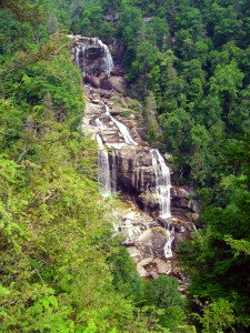
Whitewater Falls, one of the highest in the east.
137 mi – Sliding Rock – Not visible from road. Fee area $2. Paved parking lot. Bathers slide down waterfall.
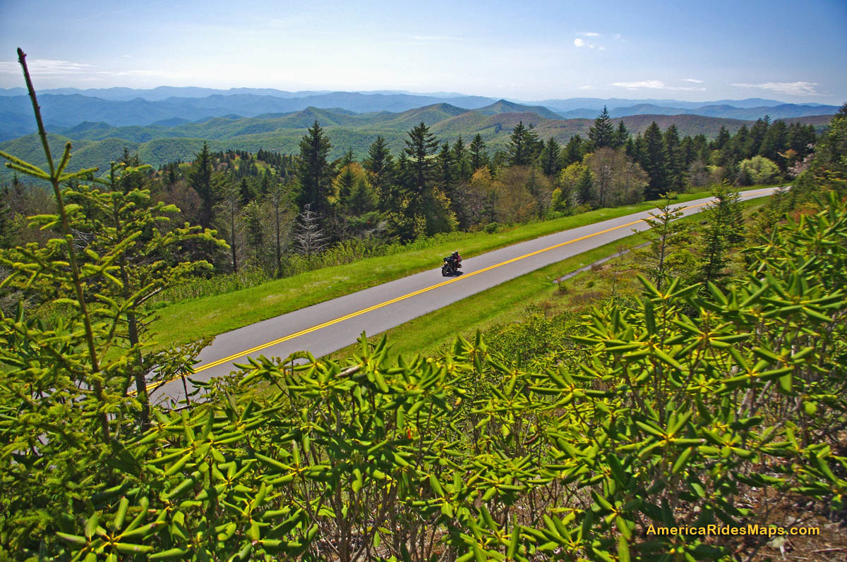
144 mi Turn right onto parkway ramp. Turn left at the stop sign to head south (towards Cherokee) on the Blue Ridge Parkway. Junction US 276 and Blue Ridge Parkway.
148.5 mi – Graveyard Fields – Not visible from road. 1/3 mile paved walk to top of Second Falls. Trails continue to 2 others.
156 mi Exit Parkway. Turn left (towards Canton) on NC 215. Junction Blue Ridge Parkway and NC 215.
158 mi – Flat Laurel Creek – Visible from road. Hard to find. Look for 3rd gravel pull out on right on the only straight section of road.
160 mi – Bubbling Springs Branch – Visible from road on left. River plunges beneath the roadway on a hairpin curve. Small unpaved parking are just beyond.
174 mi Turn left @ stop sign to follow US 276 into Waynesville.. Junction NC 215 / US 276.
180 mi Turn right @ traffic light in Waynesvile.. Pass through town.
Junction US 276 and Main Street.
181mi Turn left @ traffic light. Junction Main Street and US 276 (Russ Avenue).
183 mi Turn left @ traffic light to return to Maggie Valley. Junction US 276 and US 19.
————————————————————————————

Wayne Busch
– Wayne Busch lives in Waynesville, NC, where he produces the most detailed, comprehensive, up-to-date motorcycle pocket maps of the Blue Ridge and Smoky Mountains to help you get the most of your vacation experience. See them here – AmericaRidesMaps.com