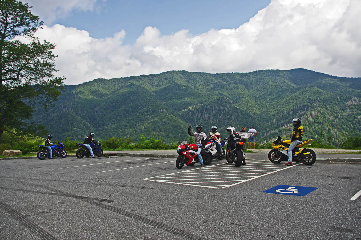
Enjoying an overlook on Newfound Road in Great Smoky Mountains National Park
Choose the right place to stay on your Smoky Mountain motorcycle trip
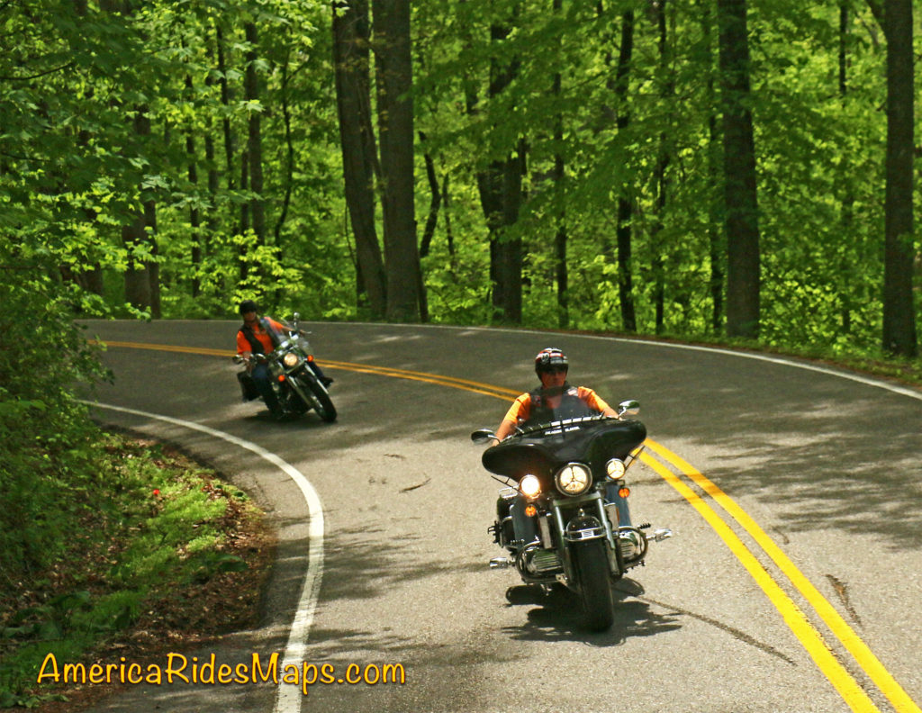
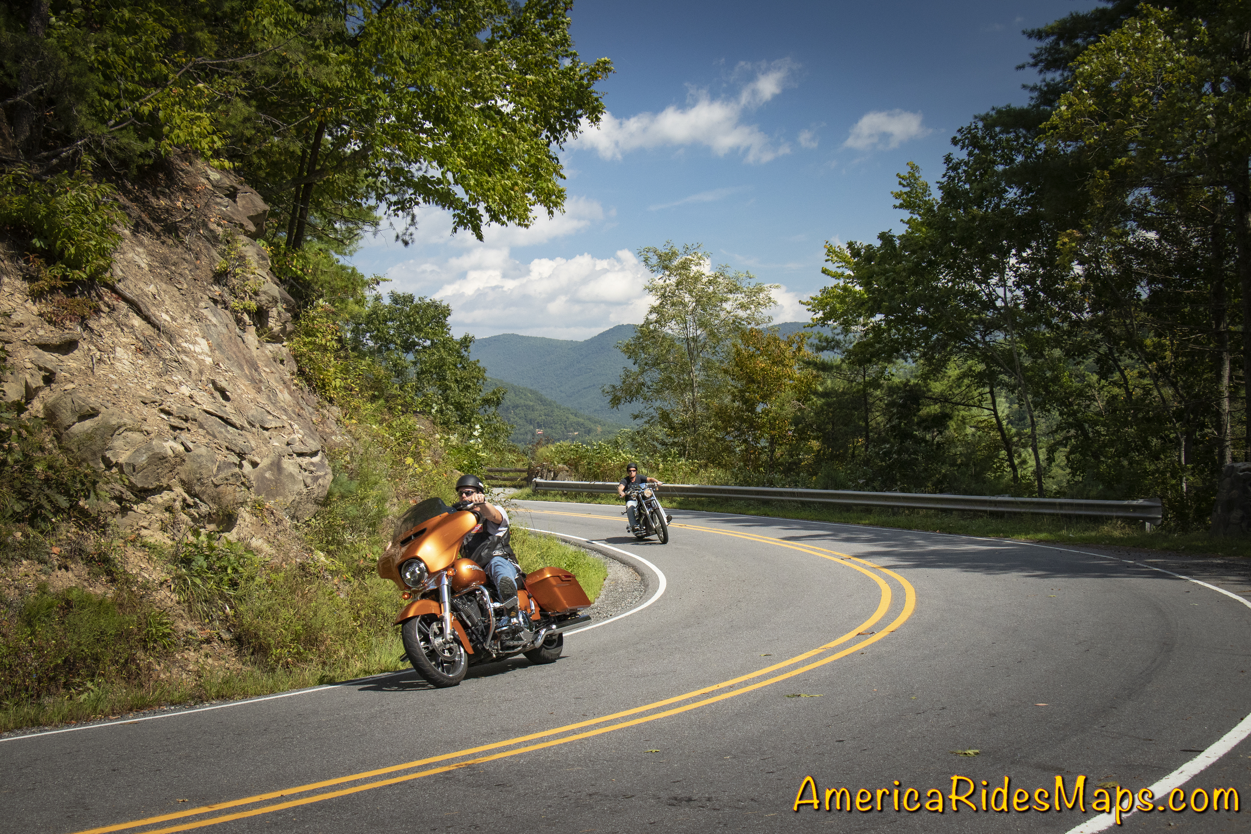
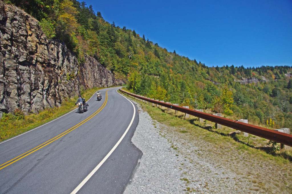
Great Smoky Mountains National Park is the #1 visited park in the nation. Needless to say there are plenty of places to stay in the surrounding area when you come. Those who make the trek by motorcycle not only enjoy the wonders of the park, but are rewarded with some of the most challenging and scenic motorcycle rides in the country at it’s borders.
Bullseye on the best place to stay
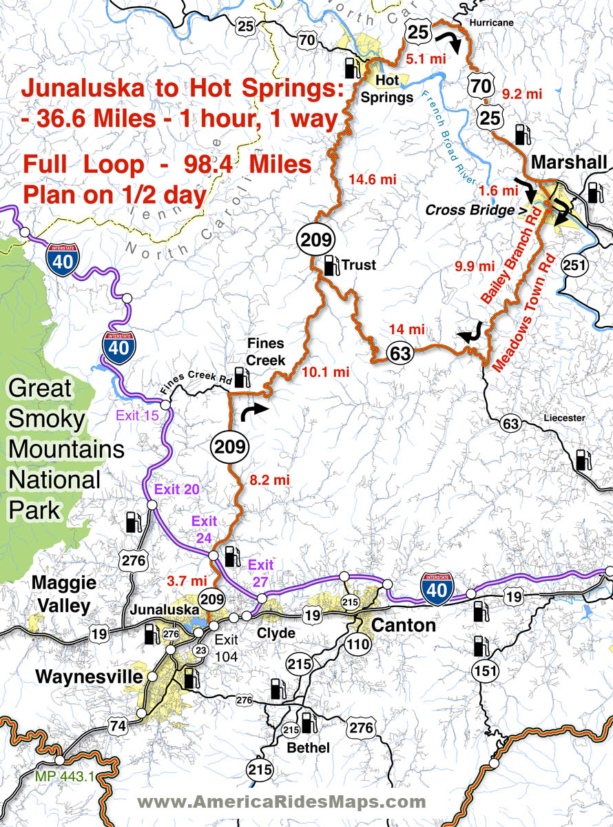
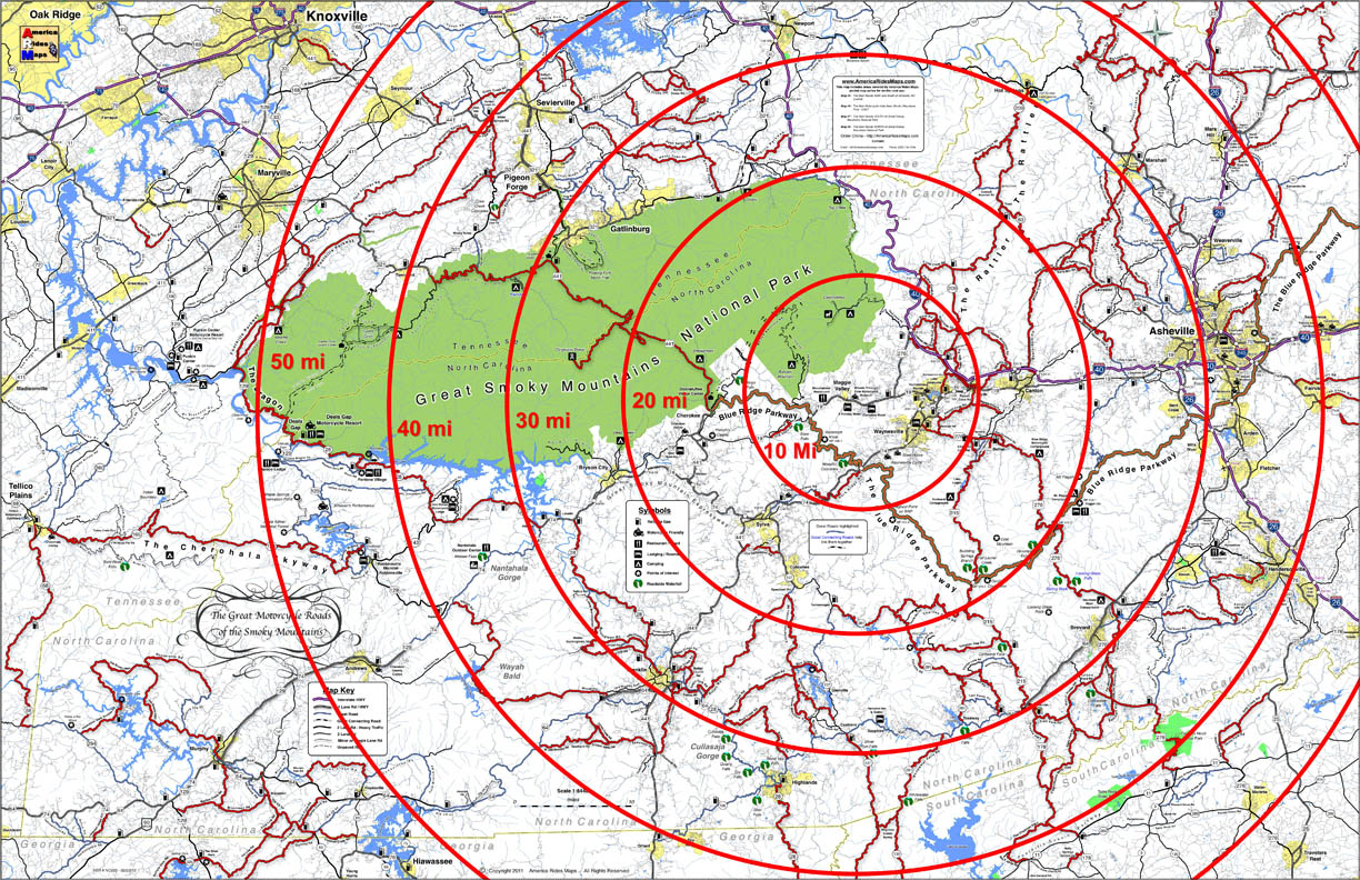
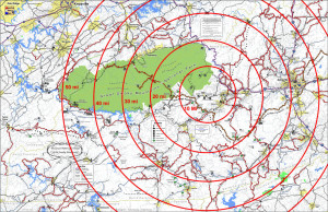
I previously looked for the epicenter of great motorcycle riding, the central point in the middle of all the best motorcycle rides in the Blue Ridge Mountains. The prime location was Maggie Valley, NC on the southeast edge of Great Smoky Mountains National Park, with Waynesville and Cherokee close runners up. I listed the pros and cons of using each as a base camp for your motorcycle trip. (read about it here)
Truth is, there are so many great motorcycle rides to choose from in this mountainous region you’ll never get to them all. While being at the strategic center of all the riding offers more riding choices and opportunities, it’s worth looking at some of these other places which lay on the borders of Great Smoky Mountains National Park.
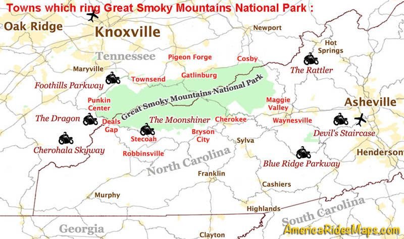
Towns which ring Great Smoky Mountains National Park and classic motorcycle rides nearby.
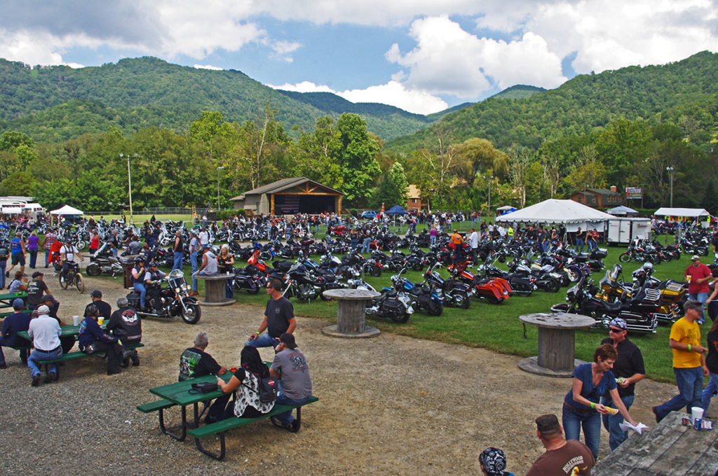
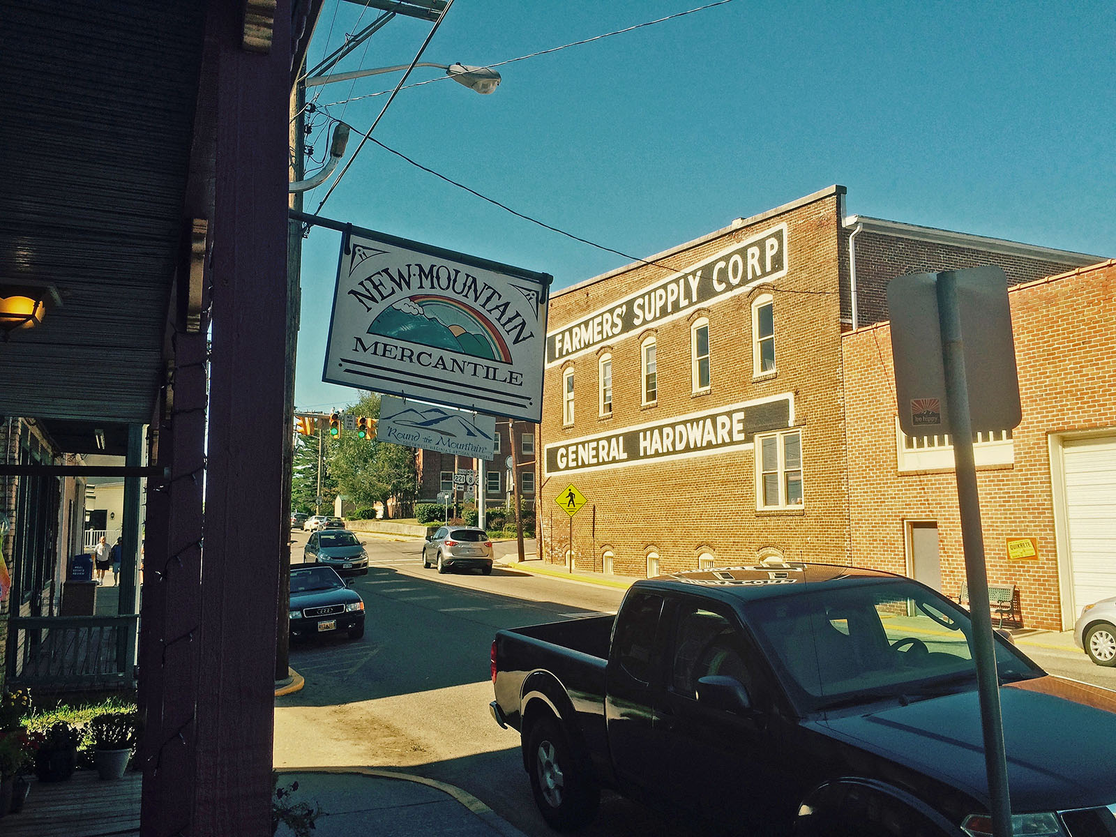
♦♦♦♦ Maggie Valley / Waynesville – located right in the heart of the best motorcycle rides. Waynesville has great food, but few rooms. Maggie Valley has lots of rooms, places to eat, and the Wheels Through Time Motorcycle Museum. (previously covered, read about it here).
♦♦♦ Cherokee – It’s where the Blue Ridge Parkway meets great Smoky Mountains National Park. Culture, casino, and crowds. (previously covered, read about it here)
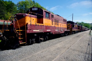
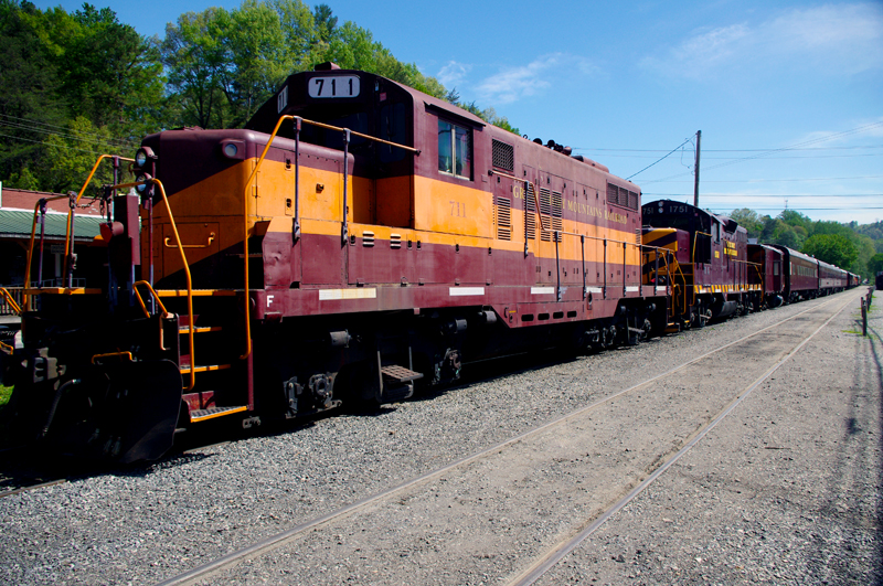
Great Smoky Mountains Railroad train in Bryson City
♦♦ Bryson City – Places to stay, camping, good food and drink, the railroad, at first glance Bryson City has a lot to offer. It’s downfall is it’s isolation. It’s located adjacent to 4 lane US 74. It has a nice little downtown where US 19 comes in from Cherokee. Your choices to quickly hop on a good ride without hitting the 4 lane are limited.
– If you’re looking for a nice quiet place to camp on a swimming creek and do a little riding, Bryson City will do you well.
♦♦ Stecoah – Stecoah is a small spot located off NC 28 not far from Fontana Lake. There are cabins available here, though it’s a really popular spot for campers. There are a couple motorcycle campgrounds. NC 28 leads to The Dragon at Deals Gap or you can cut through to Robbinsville and the Cherohala Skyway. There’s a roadside diner. It’s a pretty remote spot so you’ll have to be self-sufficient, the campgrounds have some supplies. The nearest grocery is in Robbinsville, it’s dry county. The Nantahala Gorge is close, the good section of NC 28 starts just a few miles up the road.
– Stay in Stecoah if you’re looking for motorcycle campgrounds near the Dragon.
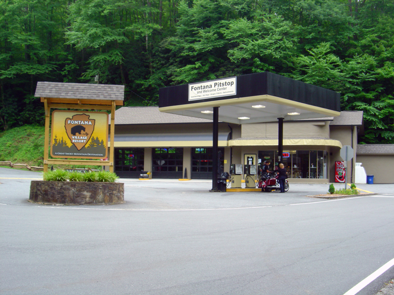
Cabins, rooms, camping, meals, Fontana is remote but has all you need.
♦♦♦ Fontana – Fontana is a good option near The Dragon on NC 28. You ‘ll find camping, cabins, there’s are a decent number of rooms, good meals, a bar, all the comforts. The stretch of NC 28 that it sits on is one of my favorite rides curvy motorcycle rides. You’re only minutes from The Dragon.
– Fontana will serve you well if you want a remote location with all the amenities. Close to the Dragon.
♦♦♦ Robbinsville – There’s nothing but mountains and trees west of Robbinsville and well into Tennessee. The small town sits at the hub of several important roads. US 129 leads north to The Dragon, south to the Nanathala Gorge. The Cherohala Skyway meets it here just north of downtown, NC 143 takes you over the mountain to connect with NC 28. All the good biker roads lead here.
While the town of Robbinsville is small, it’s the biggest small town for miles. There’s a grocery store, a few restaurants, gas station / fast food, one big central chain motel, and lots of biker friendly options and businesses in the town. There are a couple good places to eat. It’s not a convenient town for walking. There’s no booze here, it’s dry. Motorcycle rentals in town.
– Robbinsville is the largest town in the area so it has the most to offer. It’s a good base when you want to travel light. Great rides in every direction.
Deals Gap Motorcycle Resort
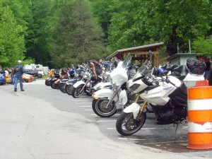
♦♦ Deals Gap – Resorts, lodges, cabins, campgrounds are all available but limited. If you want to be as close to The Dragon as possible you’ll be pretty isolated from civilization. This is where you want to stay if you’ve come to focus on riding The Dragon. Do a couple runs through in the morning then head down to the Cherohala Skyway or cruise the lake on NC 28. Get in another run or two through The Dragon in the evening.
– If you want to get the full Dragon experience, stay at Deals Gap. There may be entertainment, night races in the parking lot.
♦ Punkin Center – Located at the Tennessee end of The Dragon where TN 72 intersects, it’s an ideal spot for riding The Dragon / Cherohala Skyway loop ride. There is a popular motorcycle campground here, a restaurant, and a repair shop.
– If you’re looking for a motorcycle campground on the north side of the park, this one puts you on some of the best roads.
♦ Townsend – Townsend gets you away from the congestion of Pigeon Forge and Gatlinburg, but you’re still on a pretty major road. It get’s you close to Cades Cove in Great Smoky Mountains National Park. Townsend is a good choice if you want to ride The Dragon, The Cherohala Skyway, and poke around the park. It’s a popular base camp for dual-sport riders doing the unpaved roads in Great Smoky Mountains National Park. Motorcycle rentals available in town.
– Townsend is a good base camp for dual sport riding.
Tourist attractions in Gatlinburg.
♦♦ Gatlinburg / Pigeon Forge
The primary attraction of Gatlinburg and Pigeon Forge is they are so easy to get to. The primary downfall of Galtinburg / Pigeon Forge is everybody goes there.
There’s about 40 miles between the north entrance of Great Smoky Mountains National Park and the city of Knoxville, so this corridor has developed into a tourist vortex. Gatlinburg and Pigeon Forge host all kinds of attractions. There are lots of bargains on rooms and cabins. The downfall here is the tourist traffic and the scarcity of good motorcycle rides. The mountains quickly become valleys outside the park.
There may be some compelling reasons to stay in Gatlinburg and Pigeon Forge, but you’ll likely spend time riding around the park to get to some of the best rides.
– Stay in Gatlinburg if you’re looking for a deal or want a tourist expereince. Accept the traffic, enjoy the attractions, and learn the backroads that will get you through it all.
♦ Cosby – Cosby is at the “forgotten” eastern end of the park. You’ll find lots of campgrounds along the edge of the park, a couple motels near I-40, little else of note. This area is popular for the unpaved riding both in the park and out into the national forests.
– Cosby is a good base camp for dual sport riding.
————————————————————————————————
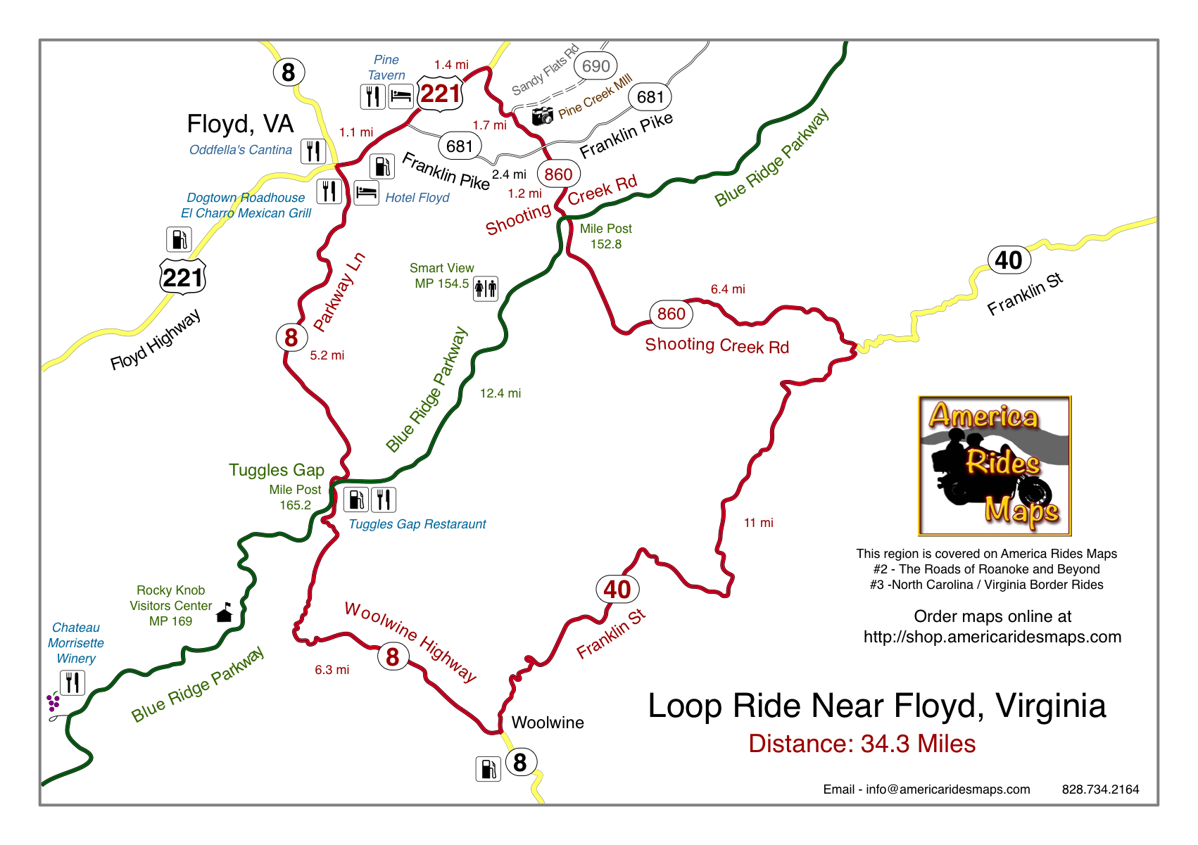
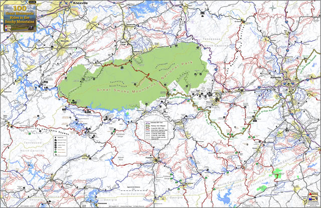
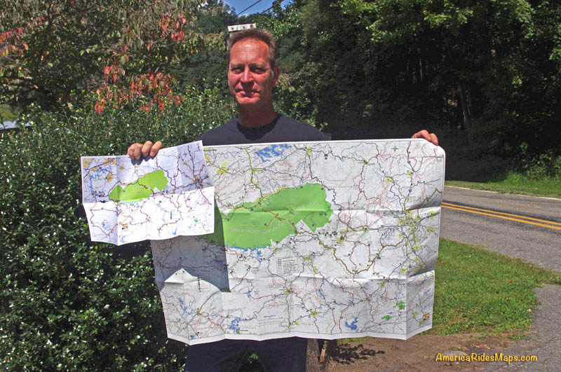
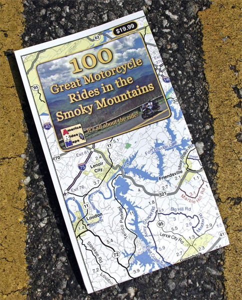
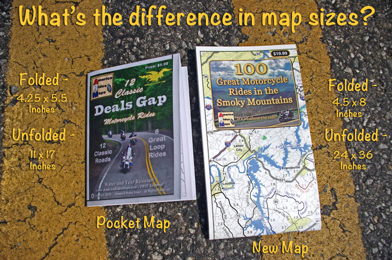
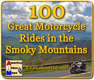 You can get a map of more than 100 Great Motorcycle Rides near the Smoky Mountains that will show you where the roads are hiding and how they link together into endless wonderful wanderings through the mountains.
Click Here Now
to see more about the map
If you enjoy photos of motorcycle riding in the Blue Ridge and Smoky Mountains, like MY BLUE RIDGE MOTORCYCLING FACEBOOK PAGE.
____________________________________________________________________

Wayne Busch
– Wayne Busch lives in Waynesville, NC, where he produces the most detailed and comprehensive and up-to-date motorcycle pocket maps of the Blue Ridge and Smoky Mountains to help you get the most of your vacation experience. See them here – AmericaRidesMaps.com
____________________________________________________________________


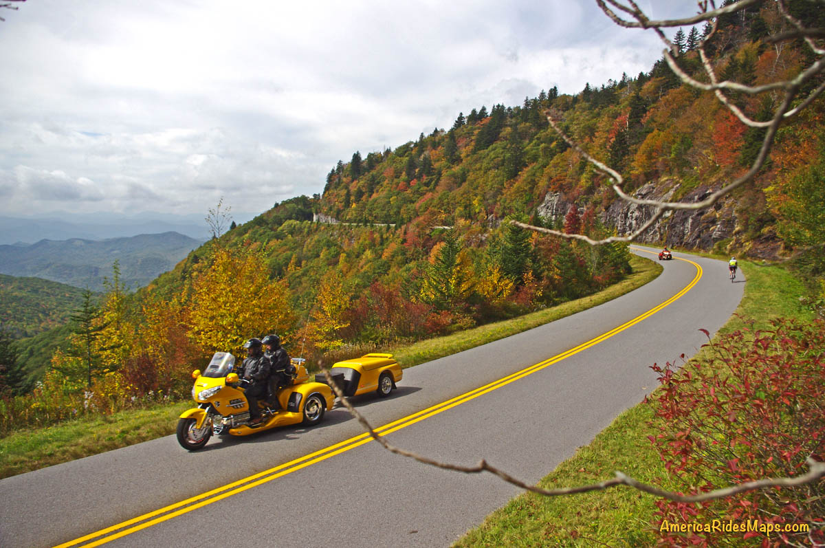
 The Blue Ridge Parkway –