“One of the finest motorcycle rides you’ll ever enjoy” –
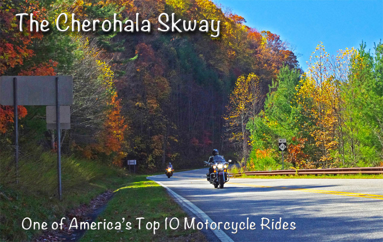
Fall color on the North Carolina end of the Cherohala Skyway
The Cherohala Skyway takes the motorcycle rider on a long and sweeping romp through the mile high ridge lines of remote national forests just west of Great Smoky Mountains National Park. Stunning long range views can be enjoyed from overlooks and rest areas along the park-like road. Traffic is typically light and the curves are challenging and consistent for the 50 mile town-to-town ride through some of the most wild and scenic areas in the Blue Ridge mountains.
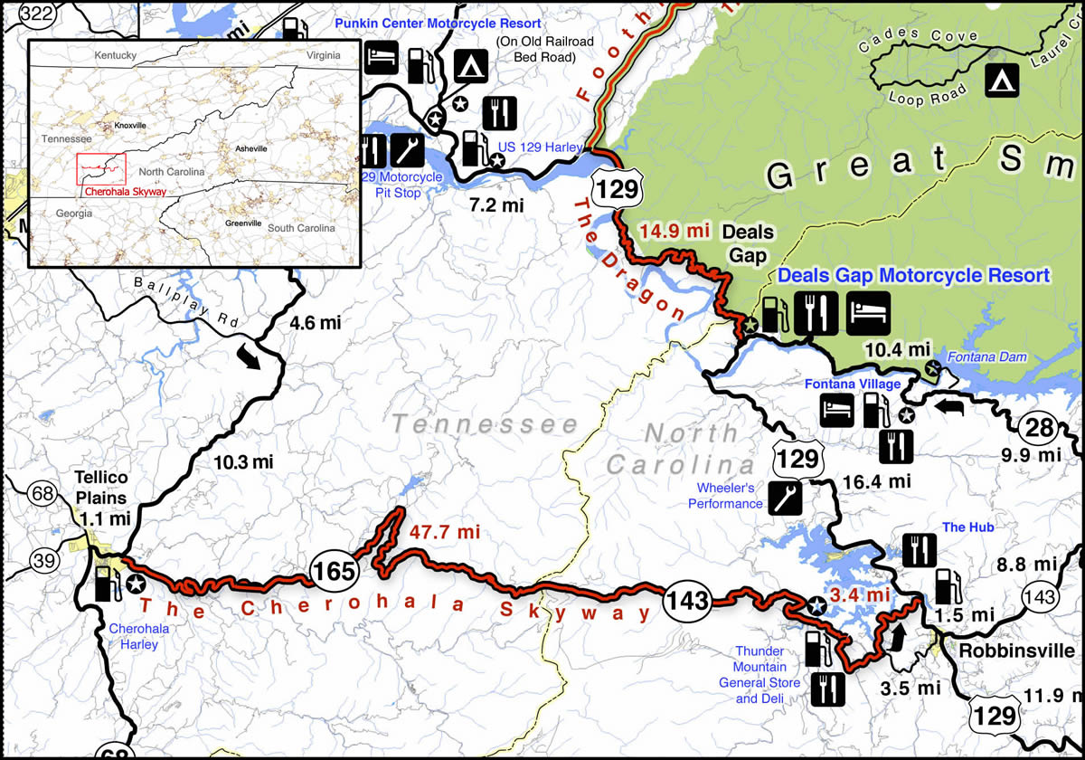
The Cherohala Skyway is near The Dragon at Deals Gap. It runs from Robbinsville, NC to Tellico Plains, TN. Click on map for larger view. Source – America Rides Maps Motorcycle Pocket maps – AmericaRidesMaps.com
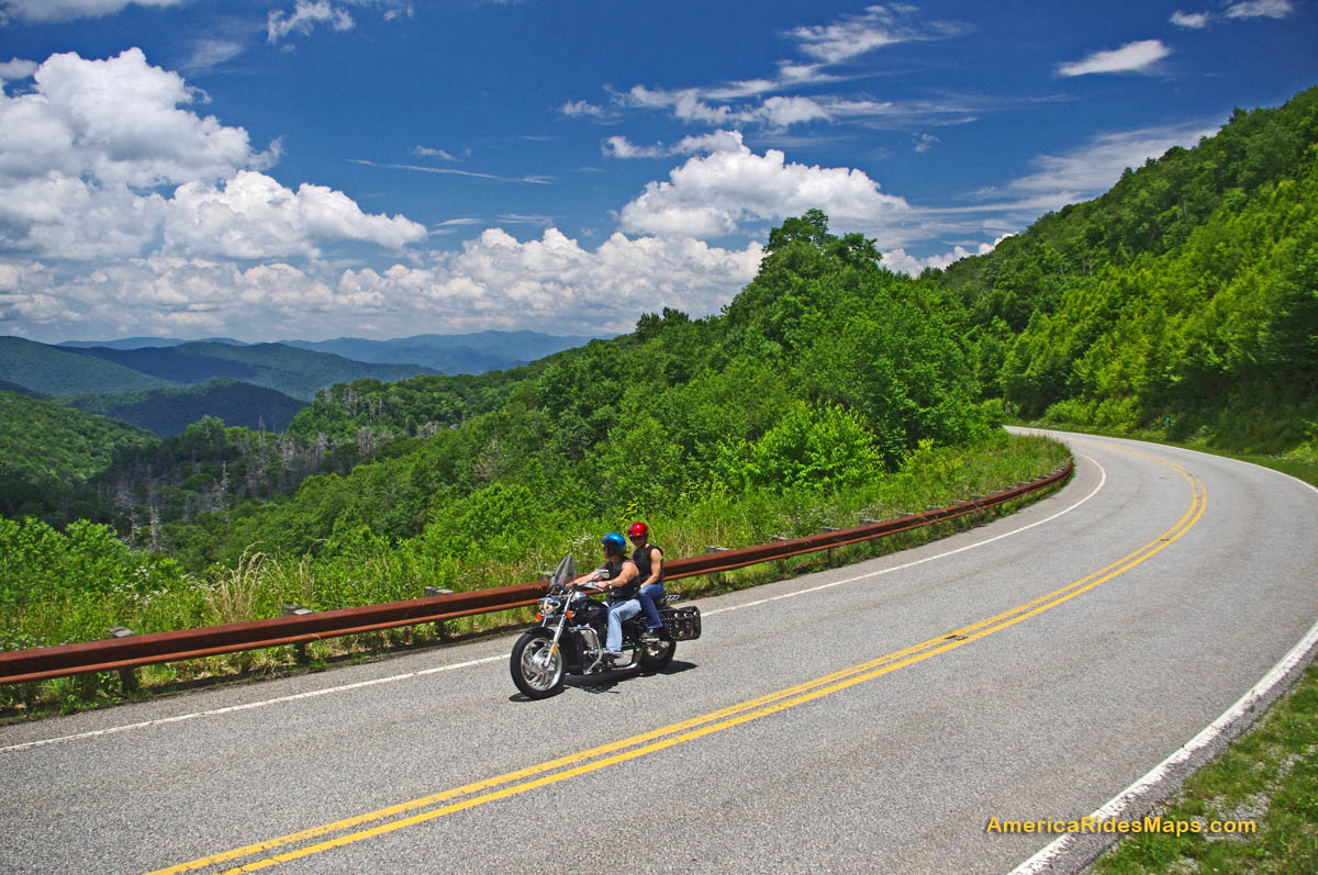
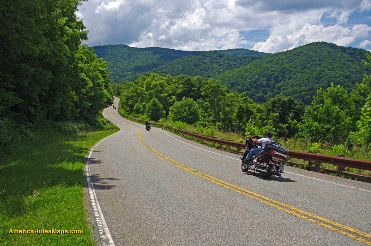
Enjoying a summer motorcycle ride on the Cherohala Skyway
The majority of motorcycle riders are drawn to this remote mountainous area to experience the thrill of riding US 129 a.k.a. “The Dragon” which skirts the western border of Great Smoky Mountains National Park nearby. A good number of them find the ride on the Cherohala Skyway far more enjoyable. It’s a relaxing contrast to the commotion and crowds that race back and forth through the Dragon’s legendary curves.
The Cherohala Skyway runs east to west connecting the small towns of Robbinsville, NC, and Tellico Plains, TN. Between them lies a large undeveloped mountainous section of the Cherokee (TN) and Nantahala (NC) National Forests. The made-up name “Cherohala” comes from a combination of the names of the remote forests it runs through.
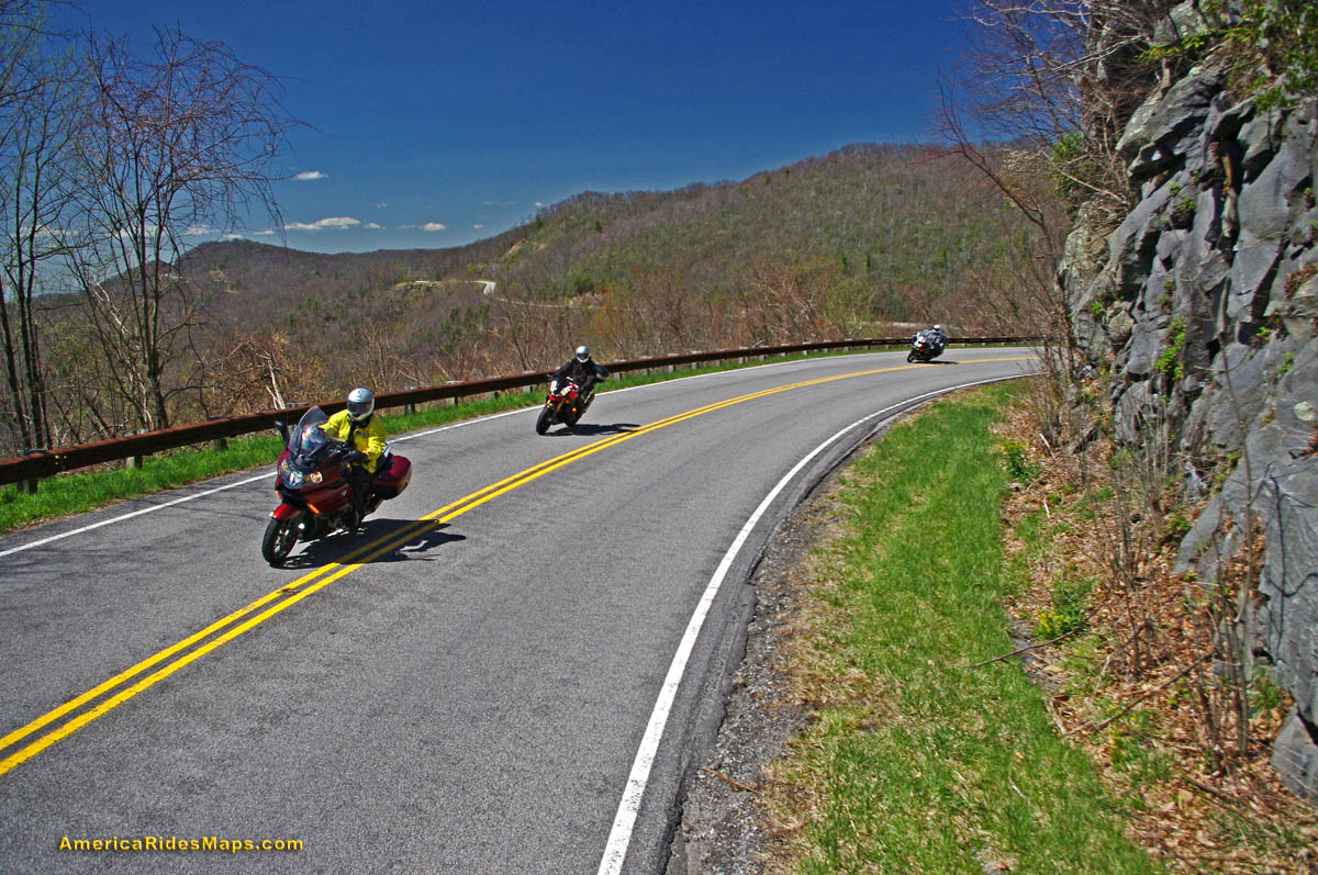
Flying through the mile high curves near the middle of the long wonderful ride
From either end the road makes a gradual climb to reach the 5000 ft heights near the middle section. Two broad lanes with sweeping curves arc through the mountain passes. Scenic overlooks, some with rest areas, yield views of a vast forests often free of visible human impact to the horizon. While the towns at either end have food, gas, and lodging, there is nothing but empty pavement on the 40 or so miles between them.
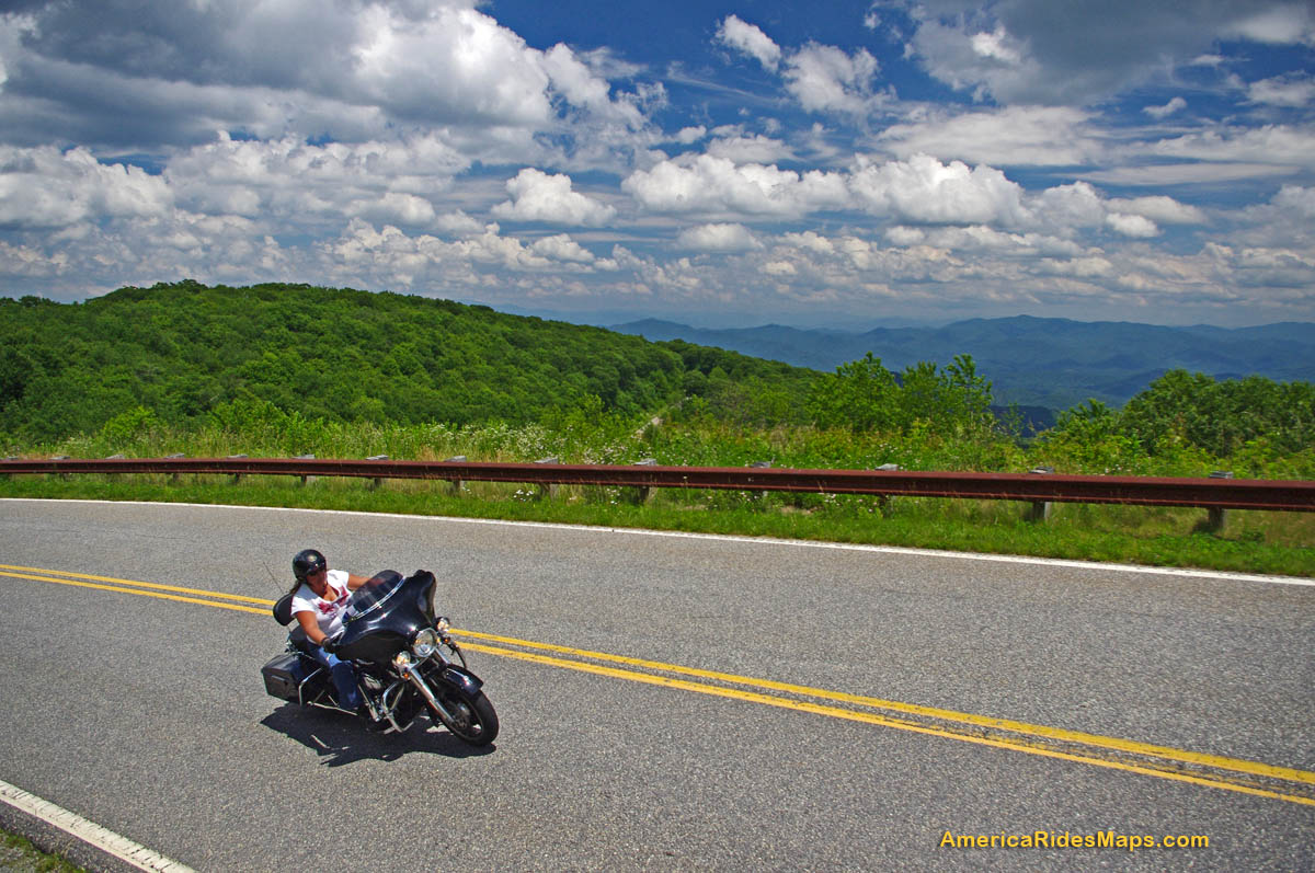
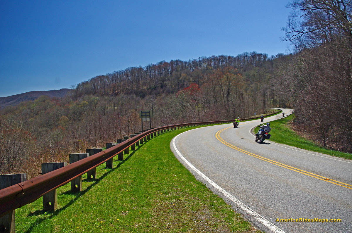
Springtime on the Tennessee end of the Cherohala Skyway – nice long view of road, click to enlarge
Riding the Cherohala Skyway on a motorcycle you’ll find smooth pavement with good traction save a few bumpy patches here and there and the occasional bit of gravel dragged into turns by cars that run wide. The speed limit is 45 mph though there are many turns where a prudent rider will carry a bit less and the experienced rider will find satisfaction at speed. The overlooks and pull outs are well marked, paved, and have ample parking. Elevation signs along the road signal each 1000 ft change. It’s very much an experience like riding through a national park – similar to riding the the Blue Ridge Parkway (less than an hour east).
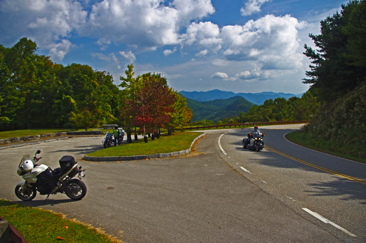
Stop to enjoy the views from the nice overlooks on the Cherohala Skyway
As relaxing as that “park-like” experience sounds, the road challenges the motorcycle riders’ skill. The Cherohala Skyway is “big brother” to the nearby Dragon with it’s back-to-back tight turns. The Cherohala Skyway is a ‘super-sized” version of it. The curves open up and relax a bit but they keep coming one after another with the added dimension of long winding climbs and descents.
The Cherohala Skyway and the Dragon are often ridden together in a 123 mile long loop ride which runs north on US 129 to via TN 72, then to Vonore, TN, then south via TN 360 to Tellico Plains, TN, then across the Cherohala Skyway to Robbinsville. When you ride both roads , the contrast is obvious -the need to be hyper alert and vigilant in the parade of bikes on the Dragon is relieved on the Cherohala Skyway. It seems empty by comparison, you can relax and it has all this gorgeous scenery too!
Great views, nice pavement, low traffic, and miles and miles of sweeping curves make the Cherohala Skyway a top motorcycle ride.
The best time for a visit is fall when the leaves are changing. Staying at the eastern (NC) end of the road places you near several other great motorcycle rides like the Dragon and NC 28. Robbinsville, NC is the larger town with more food / lodging options though many like the west end in Tellico Plains, TN for the camping.
The Cherohala Skyway is open all year (except when snow blocks) making it one of the first destinations for southern riders in the spring and a winter play spot for the hardcore adventurer.
Starting up the grade from the North Carolina end of the road on the Cherohala Skyway.
Tips and Advice –
- It’s about 50 miles with no gas. Fuel at either end. Be safe – top off.
- 3000 foot elevation change – it will be cooler, more windy, and wetter at the higher altitudes. Dress for it.
- It’s a long, long way if you need help. Ride with that in mind.
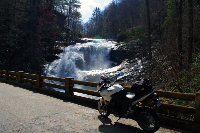
It takes a little effort, but Bald River Falls is worth the trip
Make a side trip to Bald River Falls –
You’ll see a sign for Bald River Falls near the start of the Tennessee end of the Cherohala Skyway. Follow barely paved River Road for several miles, it’s obvious.
———————————————————————————————-

Wayne Busch
– Wayne Busch produces the most detailed and comprehensive motorcycle pocket maps of the hundreds of great roads in the Blue Ridge and Smoky Mountains so you know where the best roads are and how to spend the bulk of your riding time on them.
You’ll find the Cherohala Skyway on America Rides Maps –
- Map #7 -The Best Motorcycle Rides SOUTH of Great Smoky Mountains National Park
- Map #8 -The Best Motorcycle Rides NORTH of Great Smoky Mountains National Park
- Map – 12 Classic Deals Gap Motorcycle Rides
- Get them here > – AmericaRidesMaps.com
____________________________________________________________________