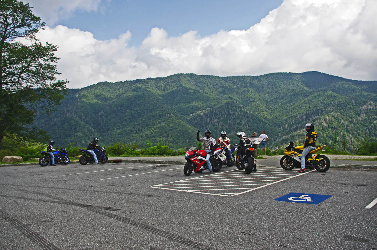
There is no “one size fits all” place for motorcycle riders touring in the Smoky Mountains. Each has it’s advantages and disadvantages, strengths and weaknesses depending on what you want to get out of your motorcycle trip.
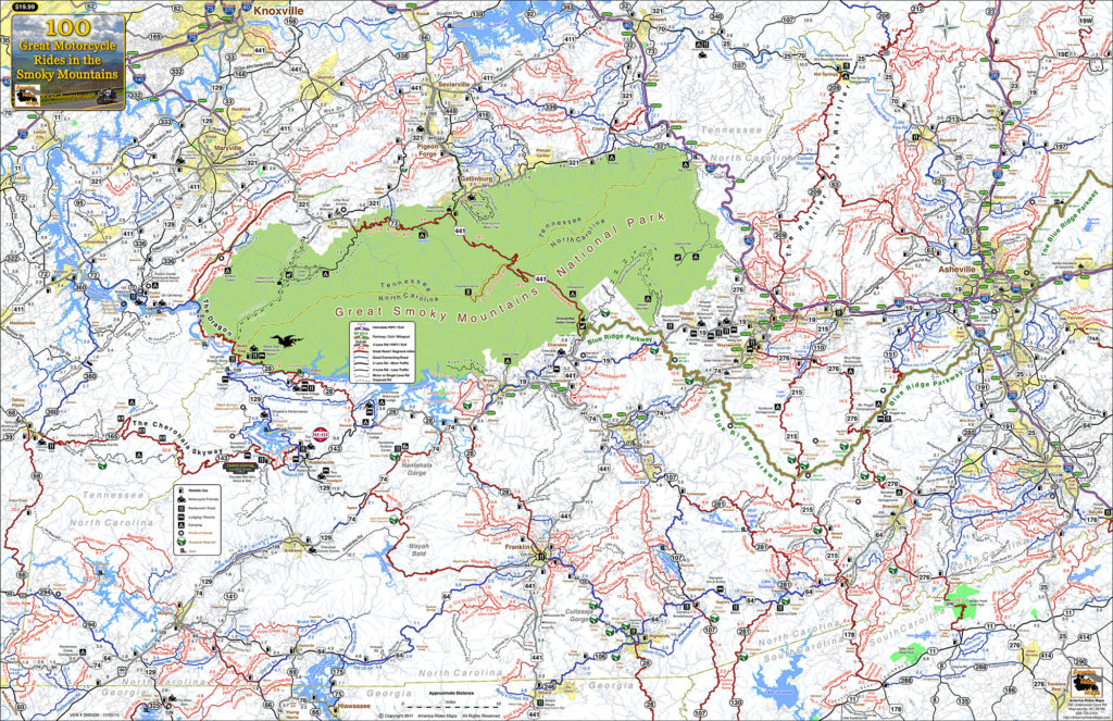
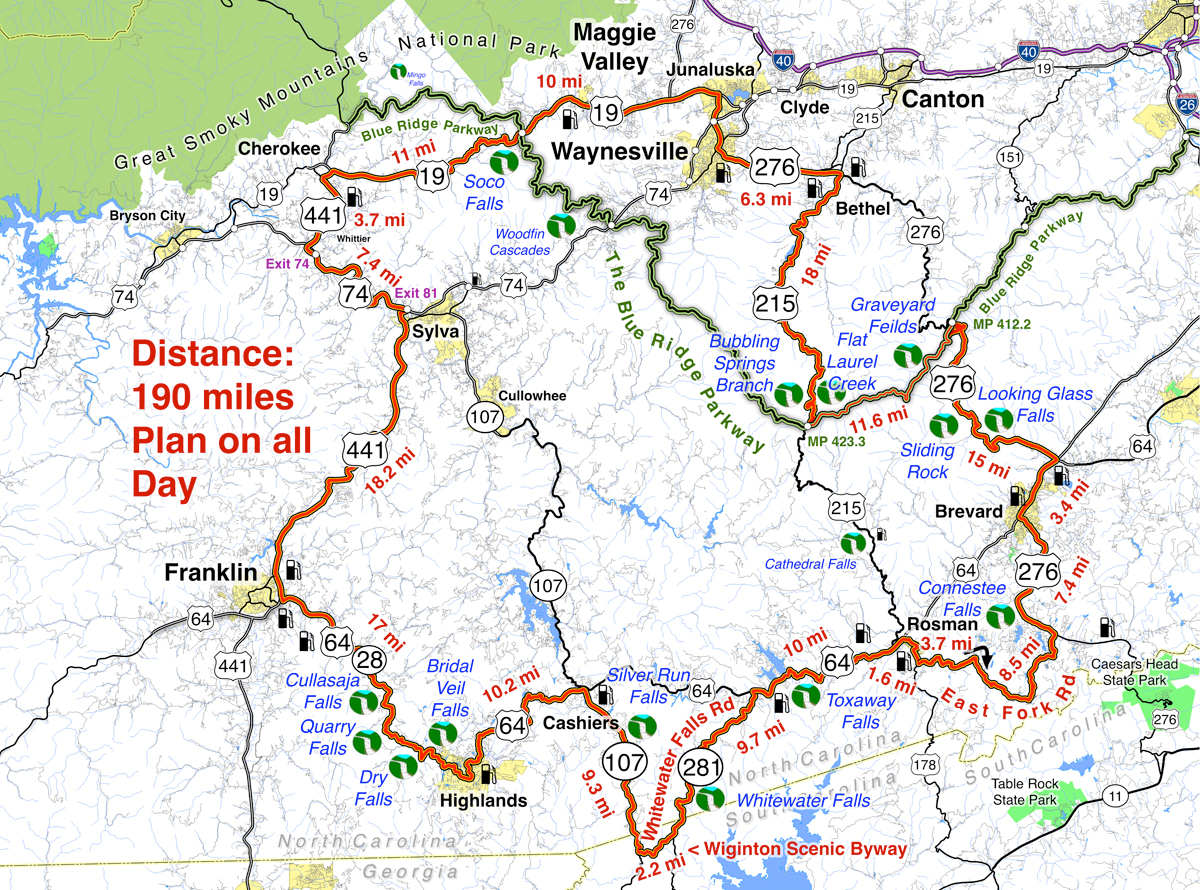
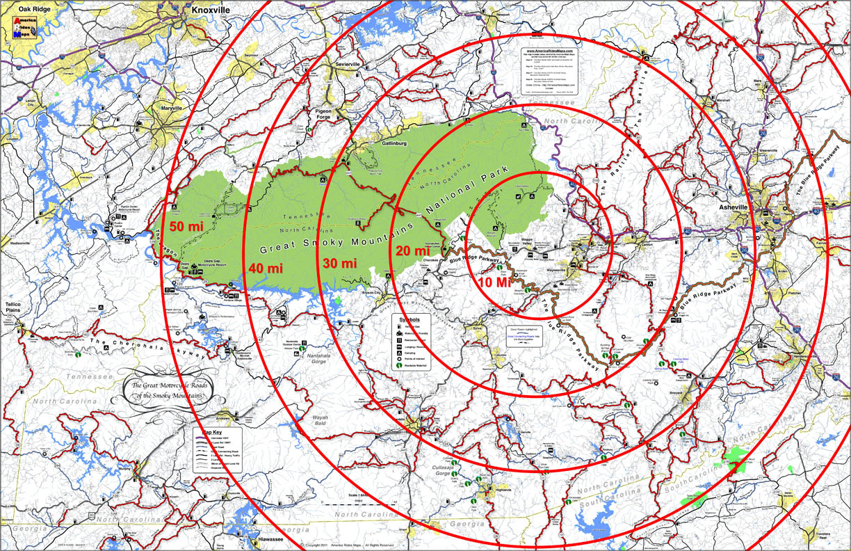
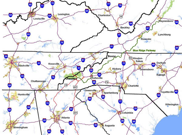
100 Smoky Mountain Rides Map
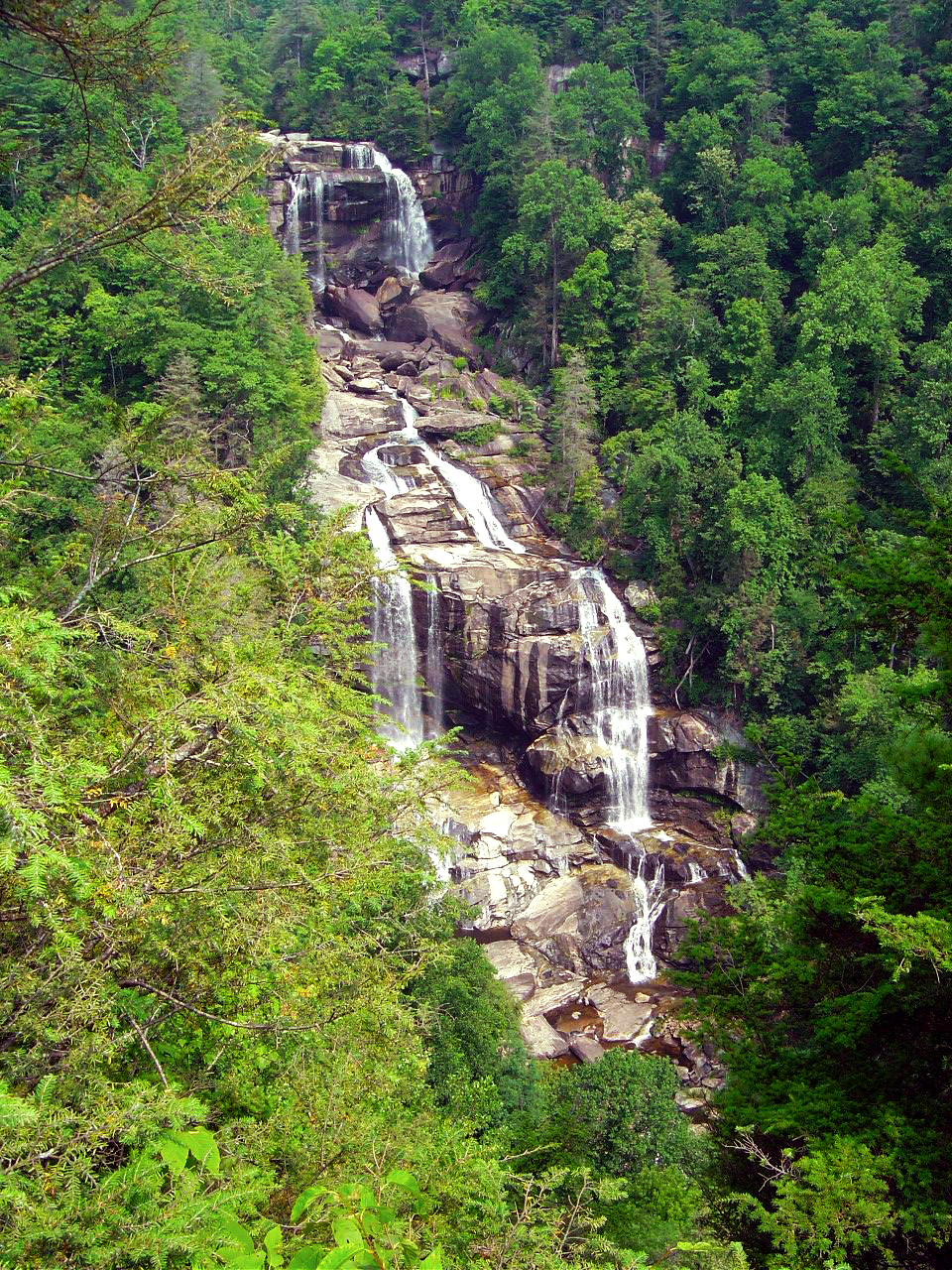
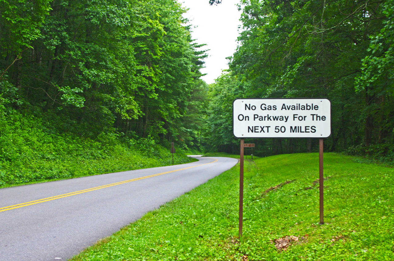
Great Smoky Mountains National Park
Great Smoky Mountains National Park takes up a huge chunk of real estate on the North Carolina / Tennessee border. Staying within the park means camping, and numerous options present. You’ll find these campgrounds fairly busy and congested though that also means basic facilities are assured and they are in stunningly beautiful settings. It’s nice from a camping standpoint, but you’ll be starting and ending each day on the few park roads as you commute to the surrounding areas cutting into your ride time each day.
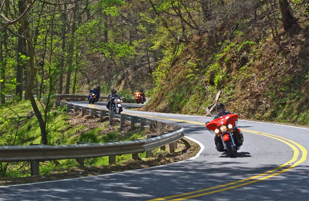
US 441 – Great Smoky Mountains National Park
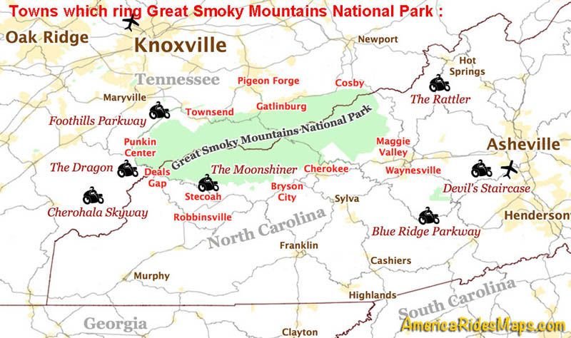
Outside the Park – Towns around the park can be divided by compass direction – north, south, east, west. Each of these areas is distinctly different reflected in the towns within.
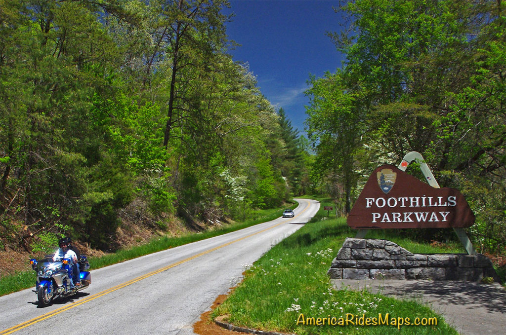
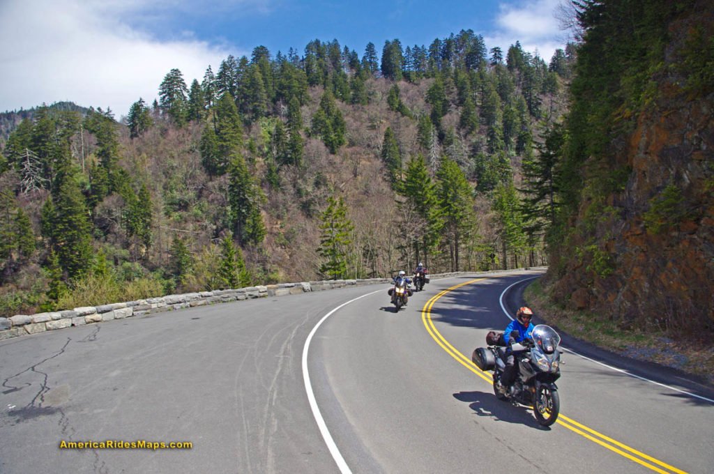
Tennessee Foothills Scenic Parkway
North of the Park:
Gatlinburg / Pigeon Forge – Tourist Mecca. Easy to get to and just half an hour south from Knoxville, these towns are dominated by tourist attractions like Dollywood, Ripley’s, Ober Gatlinburg, the Space Needle, Smoky Mountain Opree, and all kinds of venues geared to kids, families, shopping, nightlife, and the scenic park views. It’s a busy, bustling, and energetic place with loads of places to stay. Riding in this area is comparatively limited and the major roads congested. North of the park the mountains quickly subside into the broad Tennessee River Valley. The riding is to the east and west, look to the lesser traveled valleys and back roads. South takes you into the park.
Townsend – West of the big towns, Townsend stretches along the Little River into the park. It has a large tourism focus but is not as built up. Riding to the east means passing through the big towns, to the south is one entrance to the park. The Tennessee Foothills Parkway takes you west to US 129 on the north side of The Dragon and access to the western rides.
Cosby / Newport – This is pretty rural country except for the main road (US 321) which passes though it. The tourist focus diminishes as you stray north from the park to Newport and it’s more characteristic of the east side of GSMNP. For ADV riders, it sits on the edge of some decent unpaved riding in the Pisgah National Forest.
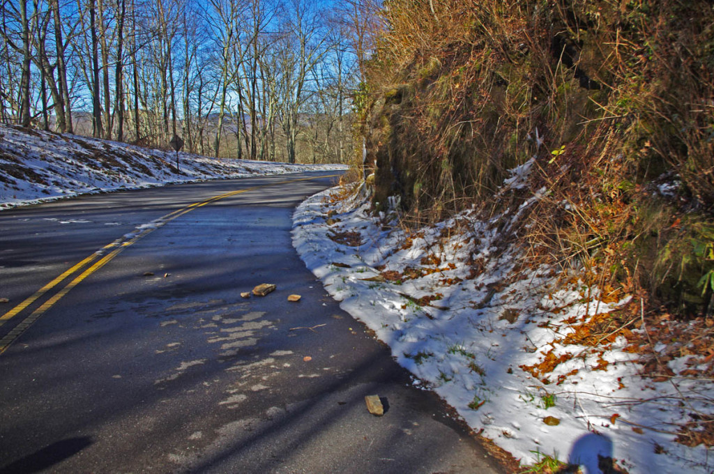
NC 209 – The Rattler
East of the Park:
Hot Springs – The area on the east side of GSMNP is dominated by the Pisgah National Forest. The mountains continue their arc north from the park to the highest of the peaks still miles distant. This area is rural and undeveloped. The few roads that do run through it are outstanding mountain rides, even Interstate 40 cutting through the Tennessee River Gorge is spectacularly scenic. Small mountain towns dot the landscape, Hot Springs is one of them. The historic town has limited places to stay and eat and a campground on the French Broad River.
Asheville – A vibrant and beautiful small city. The Blue Ridge Parkway passes through it. You’ll find ample places to stay in the surroundings, and the city traffic can be escaped fairly quickly. Known for its food and beer culture, parking is an issue to the point walking is the way to go when downtown. You’ll be paying city prices but also have access to some luxurious and scenic places to stay if that’s your style.
West of the Park:
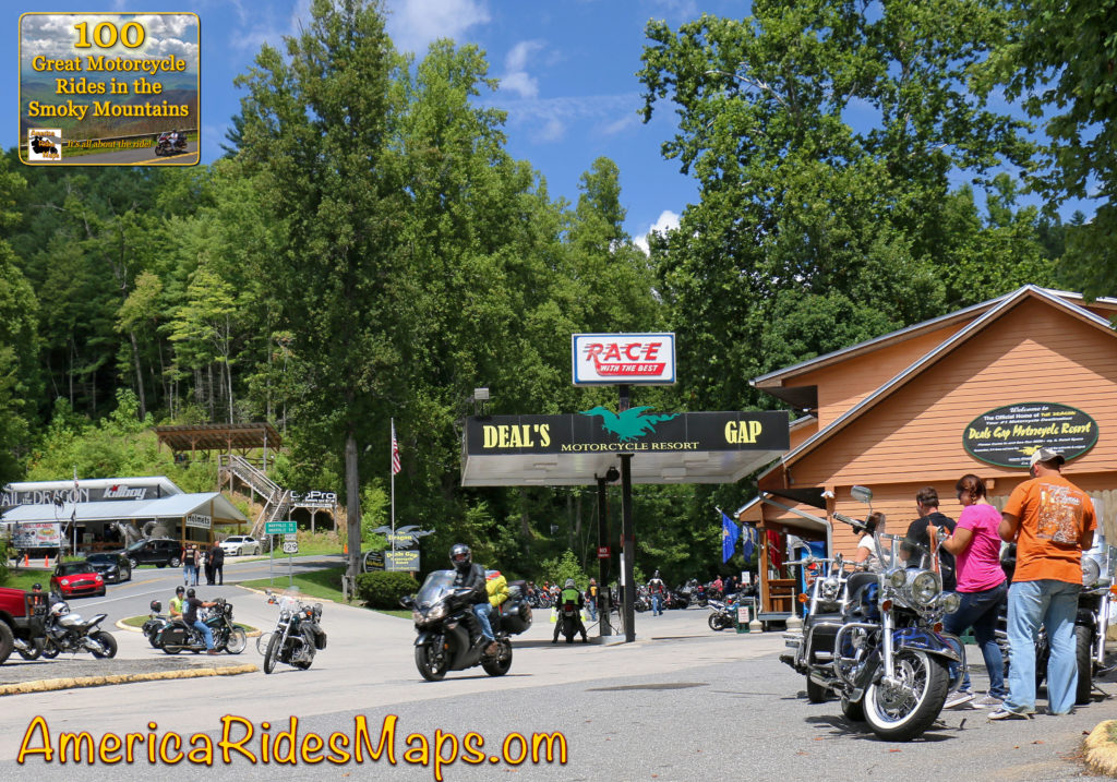
Deals Gap – Both south and west of the park, Deals Gap sits at the NC end of The Dragon. It’s relatively remote with few lodging options, but if you’re a Dragonista it’s heaven.
Robbinsville – at the crossroads of The Dragon and the Cherohala Skyway, Robbinsville is a small town. There’s one large motel, a few motorcycle centered lodgers, and a handful of restaurants. There’s a nice mix of riding in the surroundings.
Tellico Plains – across the Cherohala Skyway, Tellico Plains is a small town. You find a handful of restaurants, a few lodgers, and camping nearby. The best riding is to the east and south, a loop north takes you to the Dragon.
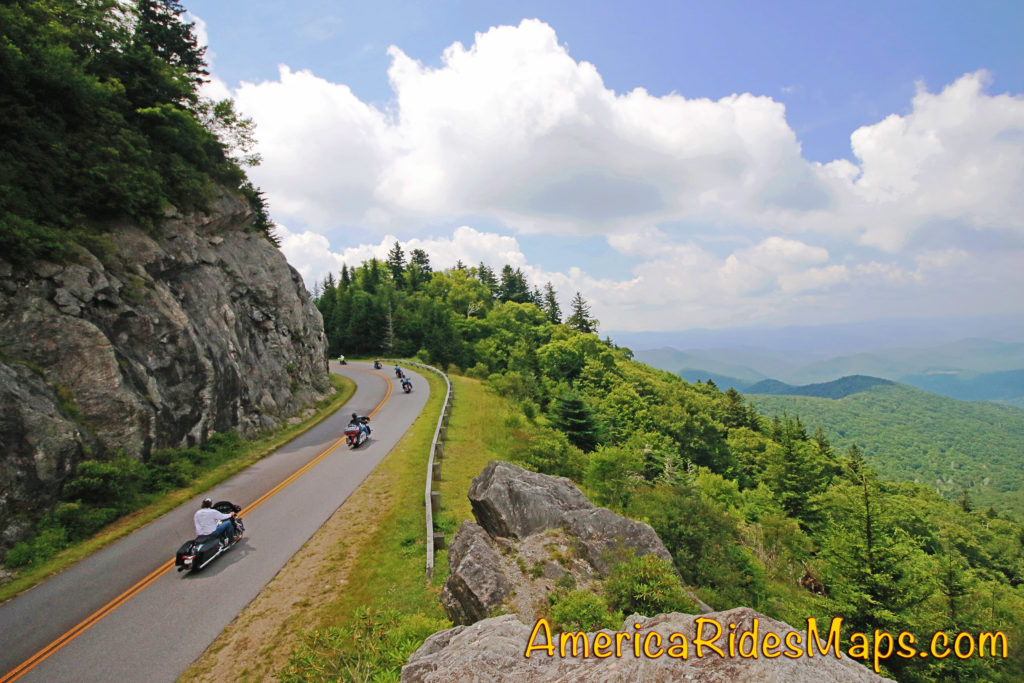
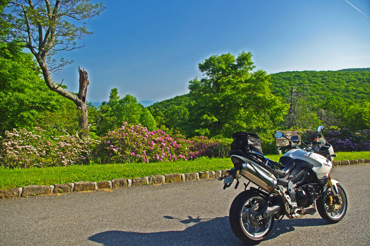
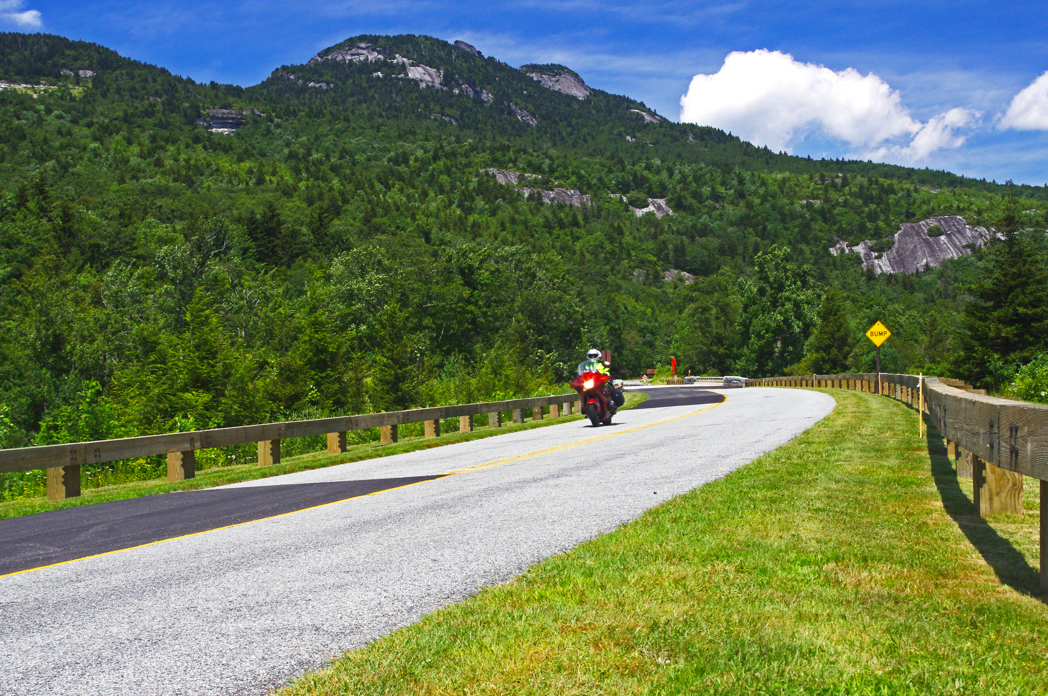
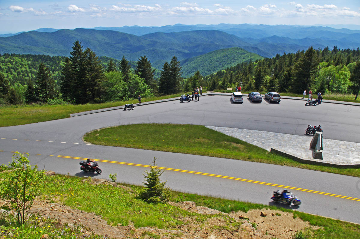
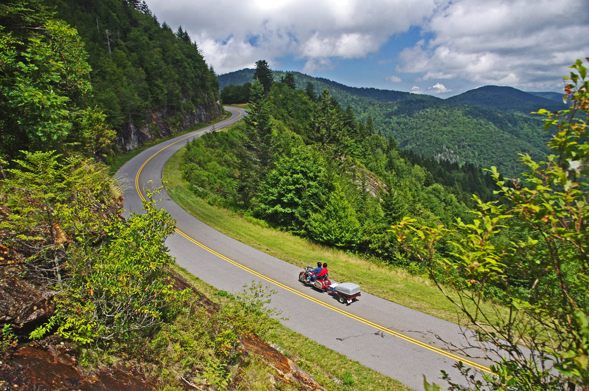
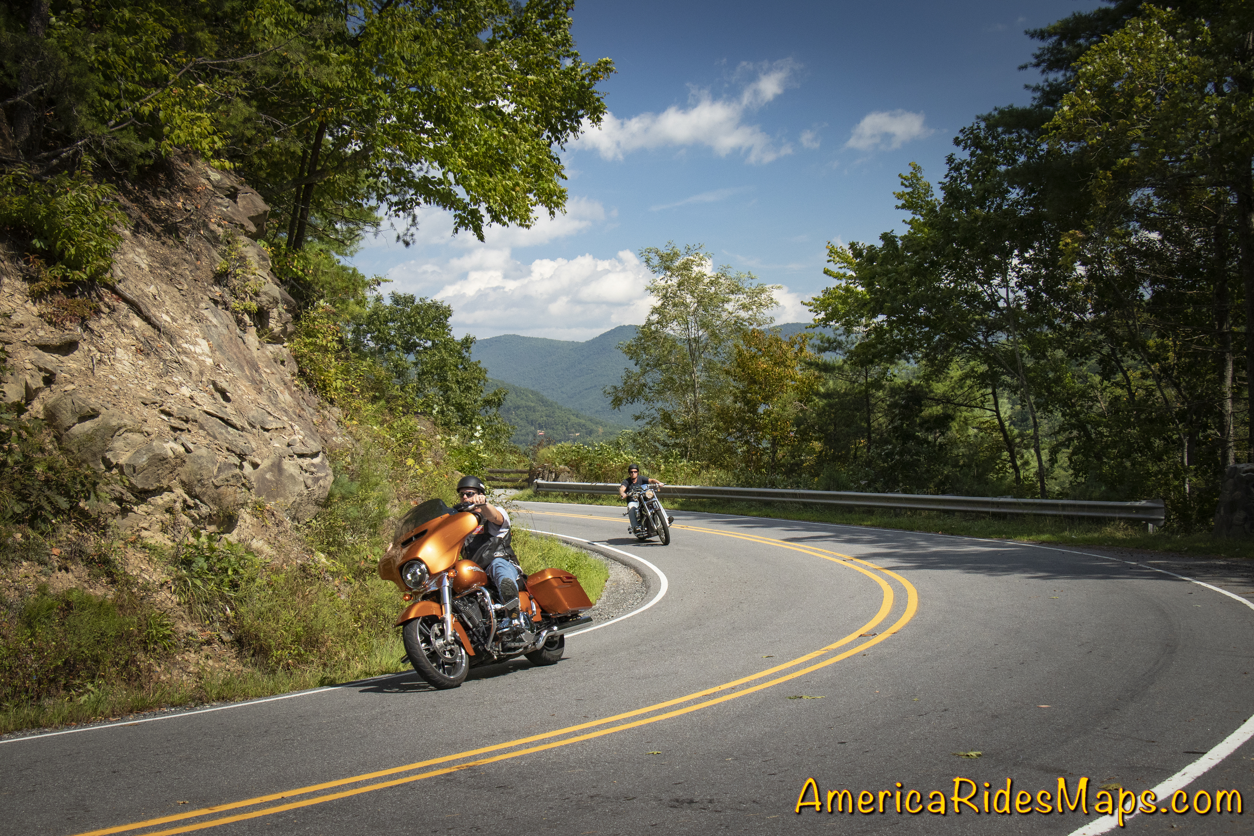
Blue Ridge Parkway
South of the Park:
Waynesville – The largest town in western North Carolina hosts the best food west of Asheville and a popular downtown. Lodging options are scattered. It’s at the hub of the best riding with great roads in every direction. The are numerous roads leading from town which intersect the Blue Ridge Parkway and the Land of the Waterfalls to the south.
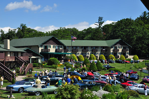
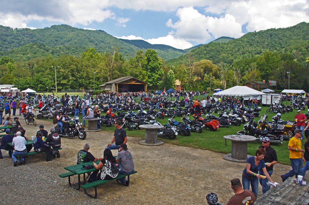
Maggie Valley – On the edge of the park, Maggie Valley has the most places to stay. Like Waynesville, it sits at the epicenter of the best riding and makes an ideal base for a longer stay. Wheels Through Time motorcycle museum is a popular attraction. There are numerous motorcycle events throughout the season. Easy access to the Blue Ridge Parkway and many great rides are found nearby.
Cherokee – Located at the south end of the Blue Ridge Parkway and the entrance to Great Smoky Mountains National Park, Cherokee offers ample places to stay and lots of small restaurants. It’s the heart of Cherokee culture with museums and attractions. Harrah’s Cherokee Casino dominates the landscapes on the outskirts of town. There is riding in all directions though the town itself can be congested and busy and many commutes will be on major roads.
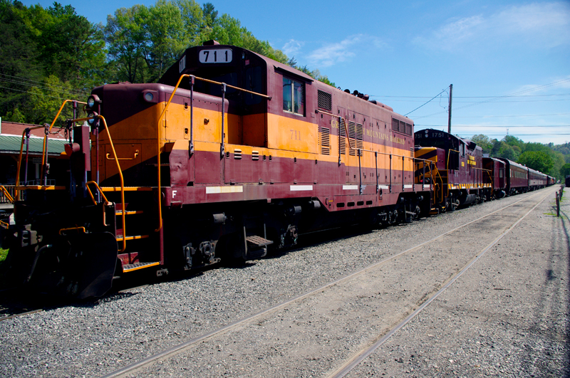
Bryson City – Somewhat isolated, Bryson City is a small town with several good places to eat and limited lodging. The Great Smoky Mountains Railroad is the big tourist draw as is camping at the edge of the park at Deep Creek. Riding is to the east, west, and south.
Stecoah – Barely a town, you’ll find campgrounds and cabins in this area. Few places to eat. It sits on NC 28 leading to Robbinsville and Deals Gap. The best riding is to the west. It’s good location for ADV riders looking to explore the unpaved roads.
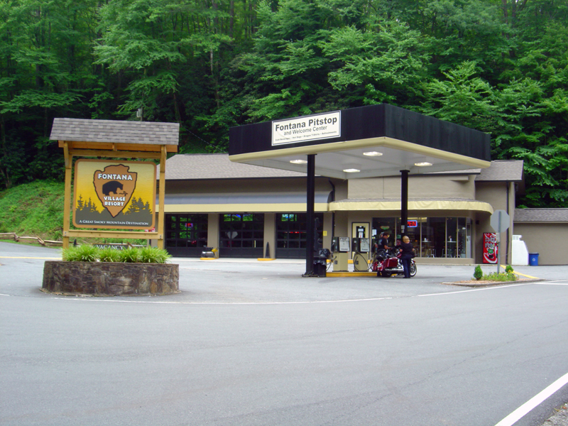
Fontana Village – An isolated location, you find the Fontana Village Resort has all you need in one spot. It sits on NC 28 close to the Dragon and rides west. The Fontana Dam is nearby.
Maggie Valley, NC
Which is best?
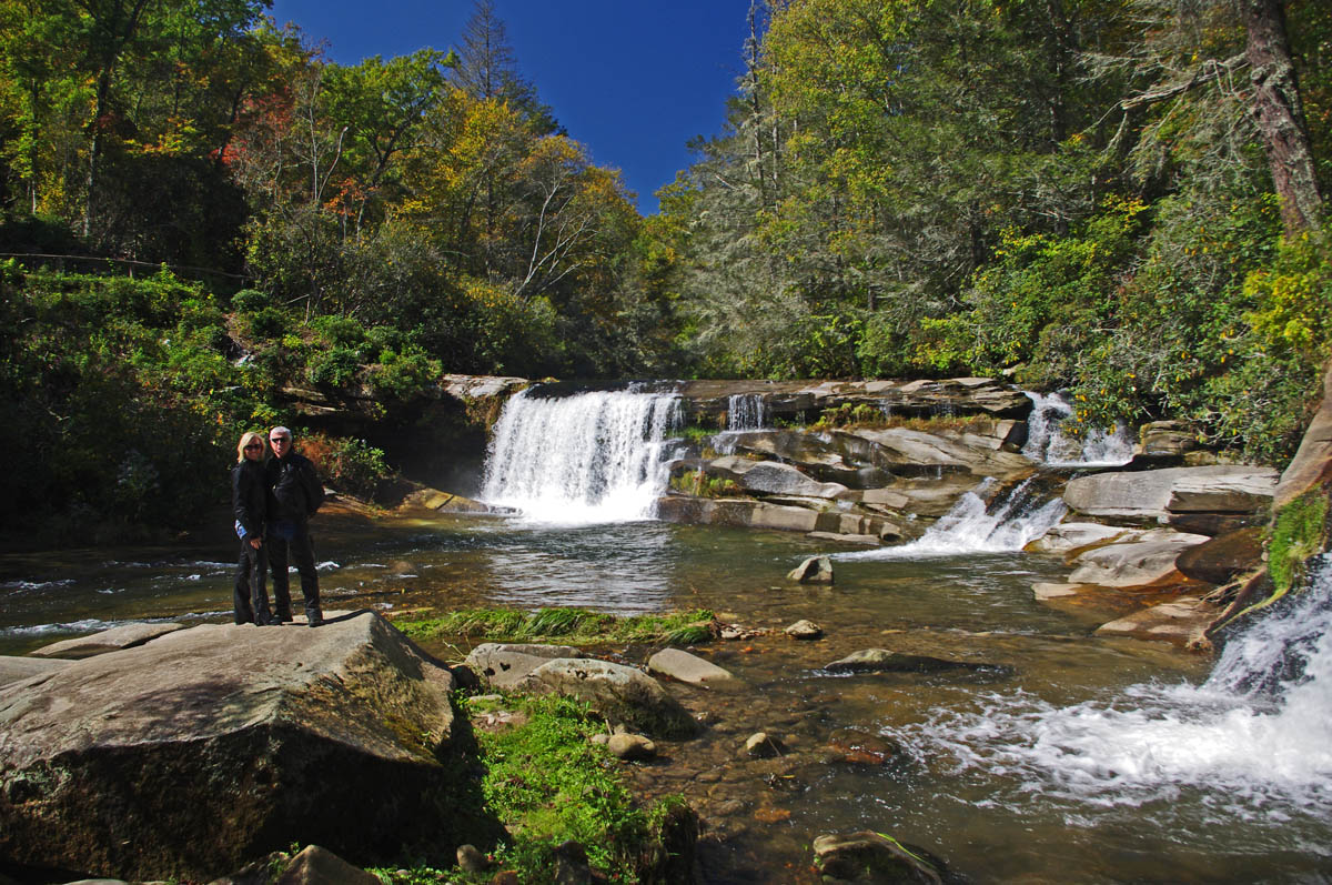
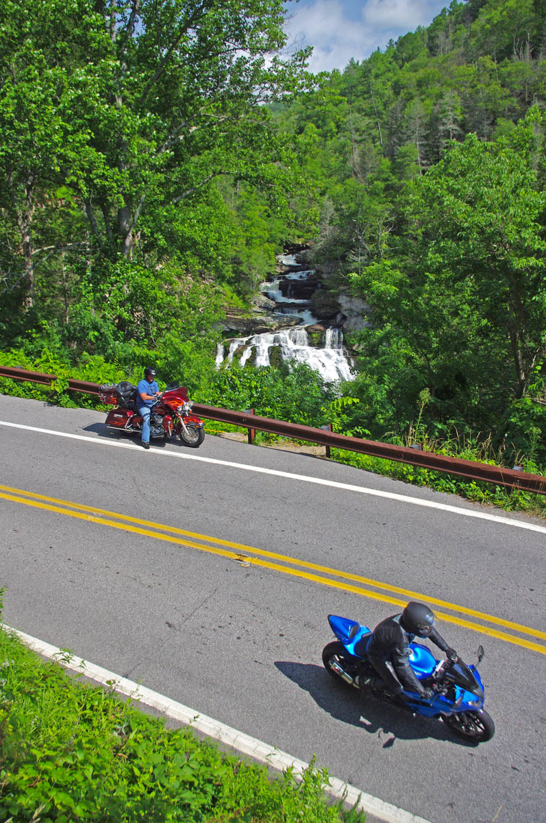
If your focus is being surrounded by the best roads so you can spend your visit riding, the south side of Great Smoky National Park is best. You’ll find the most options for lodging, eating, and other attractions on the southeast side, more remote and quiet places on the southwest side. No matter which area you stay in, you’ll find more great motorcycle rides in the Smoky Mountain area than anywhere else, enjoy!
Wayne Busch – America Rides Maps
Wayne Busch searches out the most entertaining roads in the Blue Ridge Mountains then records them on a series of maps which span the Blue Ridge Mountains.
There are more great motorcycle roads in the Blue Ridge and Smoky Mountains than anywhere else. I highlight the best roads then show you the best ways to connect them together into rides. More than a decade of searching has discovered more than 1000 good roads to enjoy. We continue to search so you may enjoy.
Review the maps, order online here – AmericaRidesMaps.com
100 Rides In the Smokies – Full Sized Map
http://miles-by-motorcycle.com/51999/photos/52000/untitled/52073/100-rides-in-the-smokies—full-sized-map)
Source: America Rides Maps Blog @ Miles-by-Motorcycle.com
https://miles-by-motorcycle.com/51999/blog/53524/5-best-motorcycle-rides-in-the-smoky-mountains