
Stay Near the Best Mountain Motorcycle Rides –
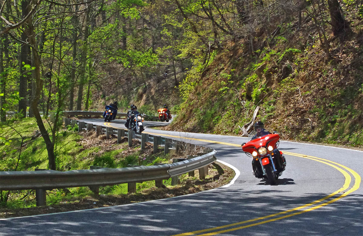
Great Motorcycle Rides in North Carolina – NC 209, a.k.a. “The Rattler” – This is some of the best motorcycle riding you’ll find in the world. These riders are looping back to NC 209 on NC 63.
So you’ve heard about the amazing motorcycle riding in the Blue Ridge Mountains and you want to come see the best of it it.
Where should you stay to have the best opportunity to ride the greatest number of classic motorcycle rides?
To figure out where the geographic center of the best motorcycle riding was, I first looked at where all the classic roads were, roads that have been around long enough to have names like “The Dragon”, the “Moonshiner” and “The Gauntlet”. Some of these might be on your bucket list so it’s nice to have them close. I determined the center point between them.
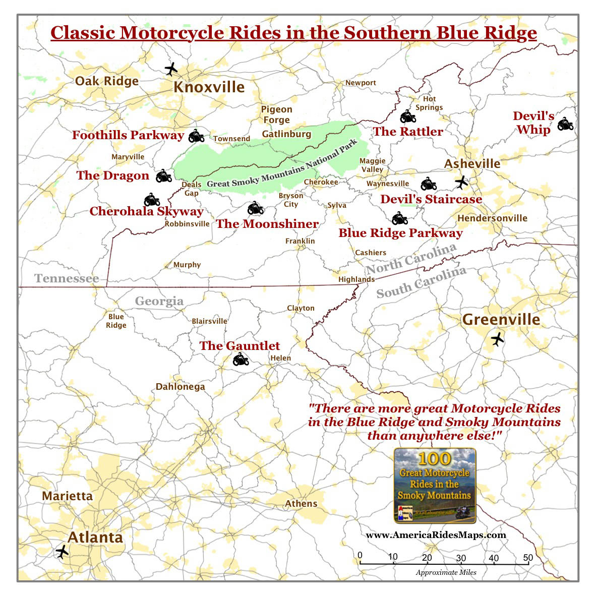
Surround yourself with classic rides.
Next I moved a large circle around the center point of the classic rides to figure out when it contained the most good motorcycle rides overall. I made rings at 10 mile intervals, made a few adjustments, and came up with the answer;
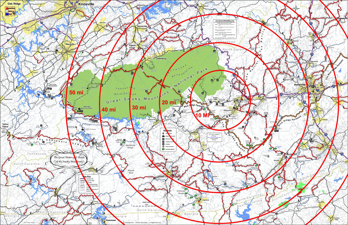
Bullseye on the best place to stay
The target falls on Maggie Valley, Waynesville, Cherokee.
Geographically, Maggie Valley sits at the hub of it all, but any of the towns along the south side of Great Smoky Mountains National Park is going to put you near some outstanding riding.
Here are some pros and cons to help you sort out which of the three places works best for you;
Maggie Valley
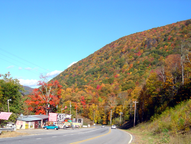
View heading down from the Blue Ridge Parkway at Soco Gap on US 19 towards Maggie Valley.
Maggie Valley Pros –
- There are lots of motel rooms, cabins, and campgrounds in the one road town, it caters well to the motorcycle visitor.
- The best section of the Blue Ridge Parkway is just 10 minutes up the road.
- The are several good places to eat.
- Wheels Through Time Motorcycle Museum is there.
- The small town hosts several biker events each year, including spring and fall rallies.
- The town is spread along a 4 lane stretch of US 19 with high mountains on looming on every horizon, you really feel like you’re in the mountains.
- There are liquor stores in town.
Maggie Valley Cons –
- 15 min ride to Waynesville for groceries.
- If you stay close to the middle of town you can walk to some of the restaurants and pubs, but the town is long and narrow so you’ll probably hop on the bike.
Waynesville

Main Street, downtown Waynesville
Waynesville Pros –
- known for it’s good food and picturesque downtown and atmosphere.
- There are mountains on every horizon.
- US 276 leaves from the south end of town and leads to some great rides and the Blue Ridge Parkway
Waynesville Cons –
- There’s only one motel in the downtown and a couple B&B’s where you can walk to the restaurants, pubs, and stores and galleries.
- I usually tell visitors – eat in Waynesville, sleep in Maggie Valley unless you can snag one of the few rooms available in town.
Cherokee
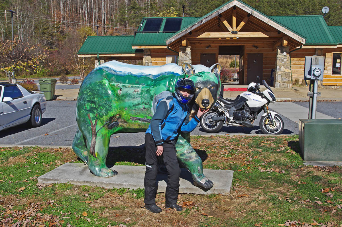
One of the many painted bears in Cherokee
Cherokee pros –
- Strategically located at the south end of the Blue Ridge Parkway and the south entrance to Great Smoky Mountains National Park, Cherokee is obviously worth consideration.
- There are lots of motels and campgrounds. No outstanding restaurants come to mind, though I don’t pass through Cherokee often.
Cherokee cons –
- Because Cherokee is a hub of tourist activity it is often congested with traffic. The roads leading in to it are busy, there are few of them, and you’ll end up on riding 4 lane roads like US 441 and US 74 more often.
- You’re on the Cherokee Reservation, if you want drinks you’ll need to go to Harrah’s Casino.
————————————————————————————————
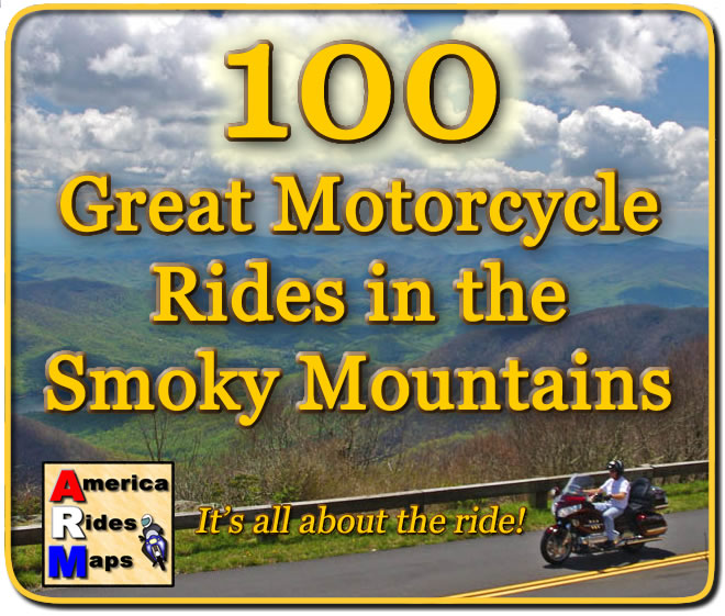 You can get a map of more than 100 Great Motorcycle Rides near the Smoky Mountains that will show you where the roads are hiding and how they link together into endless wonderful wanderings through the mountains.
Click Here Now
to see more about the map
If you enjoy photos of motorcycle riding in the Blue Ridge and Smoky Mountains, like MY BLUE RIDGE MOTORCYCLING FACEBOOK PAGE.![]()
____________________________________________________________________

Wayne Busch
– Wayne Busch lives in Waynesville, NC, where he produces the most detailed and comprehensive and up-to-date motorcycle pocket maps of the Blue Ridge and Smoky Mountains to help you get the most of your vacation experience. See them here – AmericaRidesMaps.com
____________________________________________________________________


