Why so many great motorcycles rides in the Blue Ridge & Smoky Mountains?

Why are there so many great motorcycle rides in the mountains of the southeast? It’s a combination of geography, history and climate.

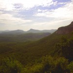
photo-black-mountains

One of my favorite Blue Ridge Parkway overlooks of the Black Mountain Range - highest in the east.

Geographically, the Blue Ridge and Smoky Mountains are very, very, old. Over the eons of time mountains once taller than Everest have weathered, eroded, and subsided to where their heights never much exceed 6000 feet in elevation. Compared to the lofty Rocky mountains in the midwest and the great Sierra Range on the far coast, those in the east are half the size.

While those western mountains soar to dramatic heights, it’s not without a cost. The lower elevations of the Blue Ridge Mountains make them accessible in every season. The softer, gentler topography of the mountains of the east makes building and maintaining roads to connect the valleys and towns more feasible.

photo-penland-post-office

Post office, Penland, NC - the Blue Ridge Mountains are rich with historic sights waiting to be discovered on your rides

History favors the mountains of the east as well. Settlement of our country began on the east coast and gradually moved inward as the population grew. Hill by hill, valley by valley, one small settlement at a time, the trails leading to them became the roads we now enjoy. More people, more time, more roads to connect them all together.

Finally there’s the climate, which is heavily influenced by altitude. The mild wet climate of the east promotes the growth of the dense forests and makes growing crops and farming much easier. The high dry desert climate of the west holds sparse vegetation, harsh conditions, and long cold winters.
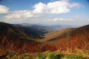
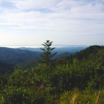
Photo - morning on the Cherohala Skway

View from the Cherohala Skyway in early March - mild climate means year round riding in the Blue Ridge Mountains

Life gets even tougher as you go up into the high mountains of the west. Crops can’t grow at the extreme elevations, and were it not for mining and timber, those vast western mountains would be even less populated than they are now. Fewer people means fewer roads in general, and building and maintaing those that pass through the high places is much more difficult and costly.

Finally, the development of the Interstate Highway system works to favor of the high quality of the motorcycle rides in the east.  As more people used them to move into the west, the fewer local roads and passes there became more crowded. More people on fewer roads, many of which open for only part of the year, means more congestion and traffic in the west.

Photo-Charlies-Creek-Rd

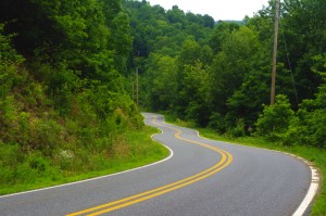
Charlie's Creek Rd - typical of the wonderfully empty and inviting rides that abound in the Smokies

In the Blue Ridge and Smoky Mountains, when the traffic moved to the Interstate Highways, it relieved the pressure on the back roads. One of the greatest pleasures of riding a motorcycle in the Blue Ridge Mountains is the absence of traffic. The selection of two lane, empty, winding roads through beautifully scenic and historic places just never seems to end.

Recently back from my motorcycle touring in the mountains of California, then Colorado, my appreciation for the bounty of great motorcycle rides in the Smoky and Blue Ridge Mountains is refreshed. While I loved the dramatic change of scenery, the vast distances and scale of things to the west, one thing became crystal clear –

Photo-motorcycles-on-parkway

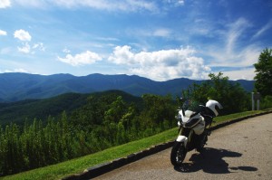
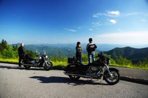
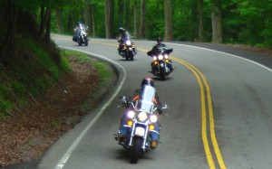
Bikers pause to admire the stunning views in the Smoky Mountains

Out west, you are on a mountain. It’s a harsher, more extreme landscape, you are a temporary interloper. In the Blue Ridge and Smoky Mountains, you are in the mountains. They cradle and surround you, it’s a comfortable and welcoming environment.

I enjoy my travels and motorcycle rides in other places, but there is simply nothing which comes close to the quality and quantity of outstanding motorcycle rides right in my back yard. While lots of bikers pay a visit, I doubt they much scratch the surface of the gold mine of motorcycle riding that exists here. I know, I’ve mapped hundreds of these great motorcycle rides, thousands of miles of two lane twisties, it’s what I do for a living.

Photo-motorcycles-on-the-dragon

Some roads, like the Dragon at Deals Gap are well known - a wealth of others await your discovery!

Half the population of the US lives within a days ride of the Blue Ridge and Smoky Mountains. It’s an easy trip to get here. It’s affordable and convenient. The motorcycle rides are beautiful, scenic, challenging, and the mountains are full of roads that thrill the motorcycle rider, more than can be visited in a season, let alone a single motorcycle vacation tour.

I’ve said it before, and continue to preach – “There are more great motorcycle rides in the Blue Ridge and Smoky Mountains than anywhere else”.  

Why not start planning your motorcycle trip right now?

Still need convincing? Visit www.AmericaRidesMaps.com to see just how many great roads there are waiting for you!

_______________________________________________________________________________

Wayne Busch

Wayne Busch - Cartographer

Total Rider Tech Logo

Learn Total Control

– Wayne Busch lives in Waynesville, NC, where he produces the most detailed and comprehensive and up-to-date motorcycle pocket maps of the Blue Ridge and Smoky Mountains to help you get the most of your vacation experience. See them here – AmericaRidesMaps.com

Wayne is an advanced motorcycle instructor for Total Rider Tech teaching Lee Parks Total Control Advanced Rider Courses. It’s time you looked into advanced rider training to ride more confidently and safely, it will change your mountain riding experience. It worked so well for me I became an instructor! Total Rider Tech

_______________________________________________________________________________

Colorado Mtn vs. Blue Ridge Mtn Motorcycle Rides

Photo-Denver

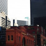
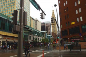
We based out of Denver. We spent the first afternoon in the city.

After almost 1000 miles in central California and nearly 850 miles in the beautiful mountains of Colorado I still say with confidence “There are more great motorcycle rides in the Blue Ridge & Smoky Mountains then anywhere else”.

I’ve been riding some fantastic scenic and challenging roads. I’ve loved every minute of it. I’d do it all over again (and probably will). There are some awesome motorcycle rides out there.

Still, when you compare them region by region based on quality, quantity, and concentration, I’ve yet to find anywhere that comes close to the great motorcycle rides in the mountains of the southeast.

Photo-Independence-Pass

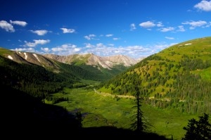
Independence Pass - the best portion of the 150+ miles between Leadville and Aspen

Fond memories of this Colorado trip are many. Were I to pick the most outstanding of them I’ve experienced I’d have to steer you first to Independence Pass which runs between Leadville and Aspen. It was so good I talked my partners into riding it twice.

Independence Pass is a good long motorcycle ride, 30 – 35 miles. The climb from one side of the divide to the other reaches over 12000 feet in elevation, twice the height you’ll find in the Smokies. Heck, in most cases you’re already higher than the Smoky Mountains from wherever you start a Colorado mountain motorcycle ride.

However, those extreme altitudes come with blessings and costs.

Photo-independence-pass

One of the most dramatic landscapes and toughest rides - Independence Pass

The blessings are many. One of the first things I noted was how clear the Rocky Mountain air is. Accustomed to the blue hazy skies that give the Smoky Mountains their name, the crisp Colorado air is like getting a new pair of glasses – you’re suddenly amazed at how much sharper and vibrant the world appears.

When you’re atop such lofty heights, that clear dry air and deep blue Colorado skies brings a sharp contrast and definition to every vista. I kept thinking it’s impossible to take a bad picture in the mountains of Colorado, it’s so dramatic!

Photo-trail-ridge-road

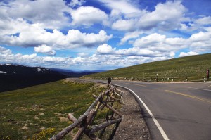
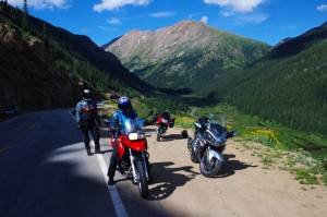
A break on one of the highest paved roads in the nation - Trail Ridge Road in Rocky Mountains National Park

Those high elevations also provide such commanding views, I’m sure you can see more than 100 miles from some points.

The landscape is dramatic. Imposing at times, stark at others, it’s a land of harsh extremes of searing heat and brutal winters, desolate isolation and hardscrabble existence.

Riding a motorcycle through such a rugged landscape at those elevations though, comes with a price.

The higher you go, the worse the road conditions get. Patches of snow in August hint at how harsh the conditions are. These roads are isolated and remote, and the season for repairs is short. You’re in for some rugged riding and a challenge to tackle at speed on a motorcycle.

Phot0-Leadville

Leadville, CO - elevation 10,200 ft. It might have been the capitol of Colorado had the silver lasted.

The massive scale of the great mountains add to the challenge. Riding a narrow twisty bumpy dirty road with no guardrail and a sheer drop off the edge can be intimidating. Jackie spent the harrowing parts riding in the wrong lane if it hugged the cliff face.

All of the high roads are gated. They are closed to traffic most of the year as they are impassable. The season to enjoy them is short, and you won’t be the only one taking advantage of the narrow window of opportunity. Plan on running into local and tourist traffic, especially on weekends.

photo-trail-ridge-rd

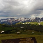
Trail Ridge Road view nearly 12,000 ft. up.

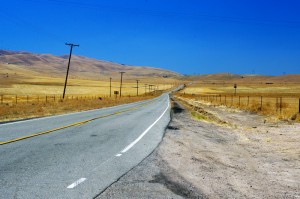
Like in California, these mountain passes stand in isolation. It’s a vast landscape and the distance between roads is just as vast. You’ll spend as much time or more on long straight flat runs across the open prairie getting to the next great motorcycle ride.

I can appreciate the beauty of the high desert, the loneliness of the historic small towns,  the weathered remnants of a cowboy / miner history that dot the landscape even as you scream along with an open throttle to cover the distance, but any fool can twist a wrist into the triple digits in a straight line.

photo-eleven-mile

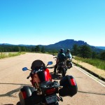
Near Eleven Mile - one long, rough, straight road across the prairie

Too soon, those rides between the rides become commutes for me, and I long to use anything but the center stripe of my tire rubber. I’m happiest the closer I get to the edge of my tires.

When it comes to non-stop curvy and scenic roads, you just can’t beat the motorcycle rides in the Blue Ridge and Smoky Mountains.

TRIP LOG:

Tuesday:

photo-water-tower

Historic Lodo in Denver - roof top water tank

We flew into Denver Tuesday and spent the afternoon in the historic Lodo section.

Rich in Victorian architecture, it’s the happening place within the great city.

photo-Denver

Old meets new in the city

First stop was a brewery, and once our tanks were full, we spent the evening walking around and taking in the sights.

Wednesday:

We spent the morning doing some hiking near Evergreen.

photo-3-sisters

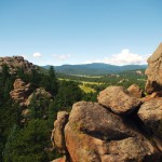
View atop 3 Sisters

I had fun scrambling to the top of one of the 3 Sisters rock formations.

photo-elk-calf

Young elk

Early in the hike, we rounded a bend to find a huge heard of elk bedded down along the trail.

We picked up the bikes late in the afternoon, and made loose plans for the next few days of riding.

Thursday:

We decided to make it a day ride.

photo-trail-ridge-rd

Sleet and a few flakes up high

The first of the twisty roads was Bear Creek Canyon. Nice, but traffic tempered true enjoyment.

We then followed Clear Creek Canyon Rd and the Peak to Peak Highway to Estes Park.

photo-gas-station

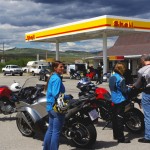
Break just past the middle of nowhere

Entering Rocky Mountains National Park, we cruised Trail Ridge Road.

Turning south, we followed 40 to Winter Park and took our lunch break.

We returned via Berthoud Pass  to the Interstate and made one more pass through Bear Creek Canyon on our way in.

Friday:

We loaded up the bikes for an overnight trip to Aspen and got an early start.

Photo-rampart-range-rd

Rampart Range Rd - finally, a place to exercise a sport bike!

We started with a very nice run through Deer Creek Canyon and I got the first chance to see just what my BMW rental motorcycle capable of.

It led to Pleasant Park Rd, then onto 285 to reach Pine Valley Rd / Deckers Rd.

photo-fattys-pizza

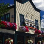
Fatty's Pizza in Brekenridge

We passed the Rampart range and Pikes Peak with a loop south on 67 / Teller County Rd.

24 led us north again till we detoured out to Eleven Mile on SR 90.

Back on 24, we next veered north on 9 into Brekenridge for lunch.

photo-leadville

Stormy skies over Leadville

Next stop was Leadville. Coming into town we hit festival detours so we stopped to see what was going on.

We continued on 24 to Twin Lakes to pick up SR 82 – Independence Pass.

We arrived in Aspen at dinner time and found an affordable room in Snowmass to pass the night.

Saturday:

photo-Independence-pass

Paused in Independence Pass

By 07:30 we were on our way hoping to get to Independence Pass before the traffic to enjoy a “spirited” run on the wild road. We were not disappointed.

Riding a road like this at speed takes every skill you’ve got! It’s terribly rough and broken, gravel and rocks in the turns, bumps, patches, and potholes will have your full attention and you’d better be able to change your line quickly even when your knee nears the pavement.

photo-motorcycle-independence-pass

My wife jackie - outstanding talented rider

We retraced our tracks to Leadville for a good breakfast, passed through Frisco, and got on the Interstate back towards Denver, then left it again at Idaho Springs for a run over Mt. Evans.

Saturday afternoon is not the time for a ride over Mt. Evans. It’s another rough and challenging high mountain road, tight and curvy, and choked with traffic. Bummer.

photo-stopped for a photo

Put that damn camera away and let's get going!

With a final pass through Bear Creek Canyon we returned to Denver.

I was sad to part with my rental bike, a BMW F800 S. I’m really starting to enjoy sport bikes and the beemer was not only quick, but comfortable for all day riding.

Sunday:

We flew home.

We’d hit some of the classic rides. I will go back again. I’m sure there are plenty more roads waiting.

photo-independence pass-us

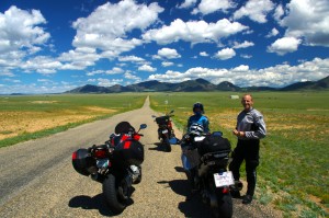
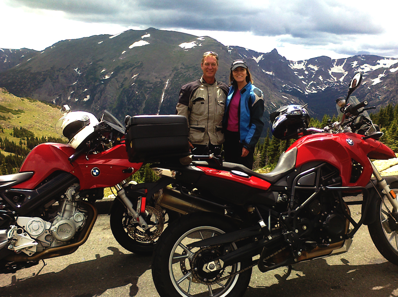
Wayne (author) and Jackie with our color coordinated rental rides. She really liked the BMW 650 GS riding it as if she'd had one for years. It felt like a chopper with ape hanger bars after riding the sporty F800 S, and I knew I'd made the right choice for me.

_______________________________________________________________________________
Wayne Busch
Wayne Busch – Cartographer
– Wayne Busch lives in Waynesville, NC, where he produces the most detailed and comprehensive and up-to-date motorcycle pocket maps of the Blue Ridge and Smoky Mountains to help you get the most of your vacation experience. See them here – AmericaRidesMaps.com 

Central California vs. Smoky Mountain Motorcycle Rides

Photo-Santa-Barbara-view

Santa Barbara - coast & mountains

Earlier this year some magazine came out with a list of top 10 motorcycle rides. The Blue Ridge Parkway made the list. The Dragon at Deals Gap made the list. Others had me wondering what criteria they used to judge them.

I’ve been all across the US and I’m convinced the best motorcycle riding is in the Blue Ridge / Smoky Mountains, but I’m trying to keep an open mind. When the opportunity came to visit Santa Barbara on the California coast,  I made arrangements to insure I’d explore central California by motorcycle to see how west coast mountain riding compared to home sweet home.

Photo-CA-150

Nice section of CA 150 near Ojai

I’ve previously been on sections of the Pacific Coast Highway. It’s fabulously scenic, but there’s not a whole lot about it that drives me to want to carve through it on a motorcycle to get the most out of the ride. I remember too much time plodding along behind duffers with lines of cars behind them, not rolling on the throttle to course through the curves and drop a knee towards the pavement. I did ride the Ventura Highway several times, and that Eagle’s song jumps into your mind as soon as you see the sign.

My explorations this trip would be through central California, leaving the congestion of the coastal roads behind for the more challenging mountain passes. Unfortunately, this required time-wasting commutes on the expressway to reach them.

Photo-view-from-CA-33

You can see the Channel Islands from atop CA 33

The highlight of all that highway riding was experiencing lane sharing when traffic backed up, which it frequently did. Not for the meek, the skinny Ducati sport bike I was on was perfectly suited for darting between the lines of slower cars, flitting into every hole that opened, and filtering through the traffic.  Surprisingly, the cars and trucks made room for you to pass. I guess it beats having a speeding bike scrape along your car. It was fun and I felt like I was given a free pass to cheat at the game.  I think we need more lane sharing in the US.

Photo-Ca-58

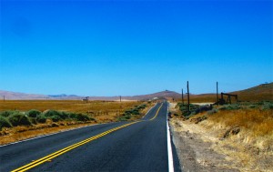
CA 58 a long, lonely ride to reach the twisties

I was a little disappointed to find the rides out to reach the mountain passes long and quite tame. While there was less traffic, it’s still far busier then you’ll find secondary roads in my Blue Ridge Mountains back home.

I first went south from Santa Barabara to Carpenteria, then headed inland to Ojai. Most of the towns are pretty cool, they look like great places to visit, but not what I’d come to do.

Leaving Ojai, my first run across the mountains on CA 33 had me feeling more at home. CA 33 is a good long run with curves that reminded me more of the Cherohala Skyway then the Dragon– a little more open and sweeping in comparison to the tight and technical curves I so enjoy back home.

The Ducati 848 made enjoying the canyon rides at a spirited pace easy. While the suspension was set up way to stiff for my liking, it always provided as much traction as I asked for, the bike ran the curves like it was on a rial. It was a challenge to keep from hitting triple digits when the road opened up, a challenge I failed many times.

Photo-bikes-on-CA-58

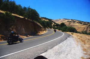
A long twisty section makes CA 58 so great

Once over the mountains I came down into the oil fields and farmlands near Maricopa. I then headed north through the desert where temps were just shy of 100 degrees to pick up the next great ride near McKittrick, CA 58. Fortunately, I’d topped up the tank as the “No services next 70 miles” signs appeared. CA 58 was another outstanding ride through high open mountain passes, great curves, and  a whole of of fun. Lot’s of bikes on this ride, it’s a great one so long as you’re up in the mountains. Once you come down, things straighten out again. I was reminded of the midwest where you ride a road that runs like an arrow to the horizon for miles and miles until you come to a 20 mph right angle turn to do it all over again and again.

photo-wine-country

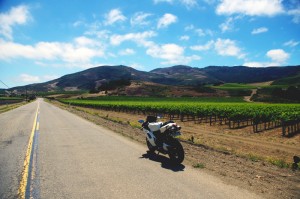
Cruising through wine country on Foxen Canyon and Santa Rosa Rds

I got bored on these long straight runs and after a while the speed crept up and up until I was playing a game to see if I could launch the bike off the hilltops as a the Ducati stretched it’s legs out and sang at the top of it’s booming baritone voice. I looped back through Santa Margarita then limped into San Luis Obispo with the reserve light crying out for a drink of fresh petrol. I wasted a bit of time looking for gas as every station was flagged off with yellow tape. They were all getting some kind of service done and I was running on fumes when I finally found one that had one bank of pumps in operation. I waited my turn in the long lines that had formed, then headed south on the freeway to return home.

Photo-coastal-fog

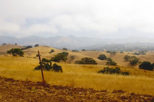
The coastal fog travels well inland and persists till after noon - Foxen Canyon Rd

The next day I headed north this time, taking CA 154 through the dense morning fog that rolls in off the ocean. My destination was Foxen Canyon Rd, a decent ride, but not as challenging as those I’d previously been on. Most of this day was in wine country and it was more scenic then I’d seen on the east side of the mountains. I worked my way from Santa Maria to Lompoc, then found a nice ride on Santa Rosa Rd. Passing through Solvang, I returned to Santa Barbara on CA 154, then got on the freeway and went back south to Carpenteria to make a few more runs on CA 33.

So how do the California motorcycle rides I was on compare to the Blue Ridge & Smoky Mountain motorcycle rides I know so well?

Photo-Ducati-848

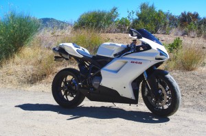
The Ducati 848 - a precision guided missile - too much for all but the best riders

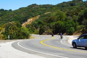
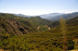
While the California rides were longer, so were the distances between them – they stood in isolation. Here in the Smokies, you finish one great road to continue your motorcycle ride on the next. You spend far more time in the nice sections and finding a long straight stretch of road means you made a wrong turn and left the mountains. I missed the green trees, the rushing mountain streams, the little waterfalls around the bends. The California countryside is dry, if not desert, close to it. Towns are much further apart, and you’ve got to pay attention to gas stations – when in doubt, top it out. You may have a long ride before you find another.

Photo-oil-derricks

Sometimes there are more oil derricks than trees

Many of the California roads were rough and bumpy – a patchwork of asphalt and concrete layer upon layer. I thought we had some rough rods, but I’m beginning to think we don’t have it so bad after all.

In the same amount of area I covered to reach just a few great motorcycle rides in California, there would have been a hundred or so in the Smokies and never  a 4 lane road or highway needed. I continue to believe there are more great motorcycle rides in the Blue Ridge and Smoky Mountains than any other area of the country.

To quote the now ex-governator, “I’ll be back”. Admittedly, I’ve barely touched the huge state of California. It’s a nice contrast to the motorcycle rides we have back home in the Smoky Mountains and makes me appreciate how great we’ve got it back east.

_______________________________________________________________________________
Wayne Busch
Wayne Busch – Cartographer
– Wayne Busch lives in Waynesville, NC, where he produces the most detailed and comprehensive and up-to-date motorcycle pocket maps of the Blue Ridge and Smoky Mountains to help you get the most of your vacation experience. See them here – AmericaRidesMaps.com 

Motorcycle Friendly Places – Hampton Inn & Suites, Sapphire, NC

photo-US-64-view-Cashiers

One of my favorite views is just 10 mins from the Hampton.

Few places rival the beauty surrounding Sapphire, NC. The small town and those surrounding it host some of the most expensive real estate in the Blue Ridge Mountains. Flanked by massive granite balds, host to the Cullasja River Gorge with it’s many roadside waterfalls, and nestled amongst the wilds of several national forests with views that will take your breath away, the area is laced with outstanding motorcycle rides.

Photo-view-from-NC-215

Above the clouds on my morning ride

On any weekend, 2 lane US 64 throbs and buzzes with motorcycles who come to play on the wonderfully twisty and scenic roads. Of course other tourists come as well, and US 64 rarely gives the motorcycle rider the freedom to enjoy its serpentine turns to full delight as they insist you share the road. Few tourists ever venture off the main drag though, and the many back roads which course over the mountains and along the valley streams give the biker what he really came for – great rides with outstanding views devoid of traffic.

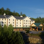
Photo-Hampton-Inn-Sapphire-NC

Hampton Inn & Suites, Sapphire, NC

Sitting in the heart of all this, the Hampton Inn & Suites in Sapphire makes an ideal place to base out of for an enjoyable stay while exploring all the region has to offer. Level parking, set back from the road, and close to good dinging and other amenities, the Hampton provides a quiet and relaxing place with a decor and atmosphere that reflects the quality of the surrounding area. I toured 3 different styles of room each of which deserves the descriptor – “posh”. I would be very happy to stay in any of them, it’s the kind of place I seek out in my travels.

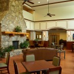
Photo-lobby-at-hampton-inn-sapphire-nc

A comfortable place to gather and relax

It looks like an ideal place for those groups of motorcycle riders looking for a time they’ll remember fondly and come back to. 2 meeting rooms are available. The lobby is spacious and inviting, a good place to gather. All the amenities are at hand.

Photo-room-at-hampton-inn-sapphire-nc

Ride hard, rest easy.

The greatest thing about the Hampton is location. Roll out the driveway and you’re on the ride. Go west through Cashiers and Highlands to ride Wayah Bald and the Nantahala Gorge. The roads to the north – well, every time I go though there I come back thinking I don’t get that way often enough, they are so nice. Head east, and you enter my favorite area in all the mountains, home to some of the best rides I know of. To the south, the twisties which lead into South Carolina are outstanding. Whitewater Falls,

Photo-entrance-hampton-inn-sapphire-nc

Put your bike here.

the highest in the east is just a short ride from the hotel. The Dragon at Deals Gap is about an hour away, though the roads which lead you to it will have you all warmed up and ready to go when you get there, then go on to tackle the Cherohala Skyway. The best section of the Blue Ridge Parkway is the closest. As I add all these up, staying here makes a lot of sense.

Photo-Charlies-Creek-Rd

One of the roads I took going home

The sales manager was a rider, so she knows you guys. You’re welcome here. I’ll be adding the Hampton Inn Sapphire to the maps ASAP. The more I think about it, the more sense it makes to plan a stay here. It’s a total immersion in motorcycle rider’s bliss – point your wheel in any direction and the good roads are right there.

SAVE 10% on weekends, SAVE 20% during the week – Call and ask for your Smoky Mountain Rider / America Rides Maps discount.

Hampton Inn and Suites Cashiers/Sapphire Valley, N.C
3245 US 64 East
Sapphire, NC 28774
http://www.hamptoncashiersnc.com


Photo-whitewater-falls-nc

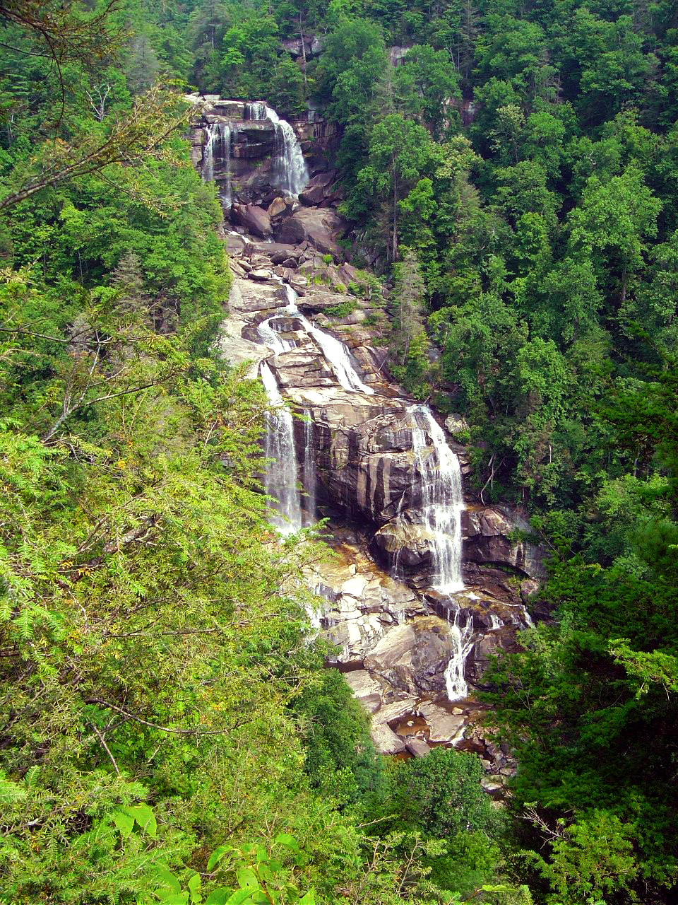
If waterfalls turn you on, you'll be in heaven. The Hampton sits at the heart of the "Land of the Waterfalls". Whitewater Falls, the highest in the east, is just a short ride, as are many others.

_______________________________________________________________________________
Wayne Busch
Wayne Busch – Cartographer
– Wayne Busch lives in Waynesville, NC, where he produces the most detailed and comprehensive and up-to-date motorcycle pocket maps of the Blue Ridge and Smoky Mountains to help you get the most of your vacation experience. See them here – AmericaRidesMaps.com 

Motorcycle Touring – Sights: Spectacular Roadside Waterfall in VA

Photo-Falling_spring-VA

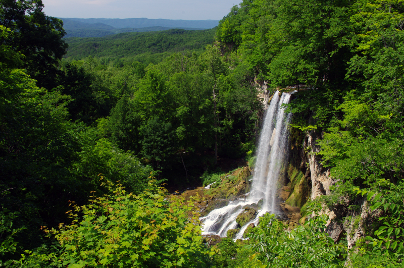
Falling Spring on US 220 north of Covington, VA

Located about 4 miles north of Covington, Virginia, Falling Spring has been an attraction referenced as far back as Thomas Jefferson. It’s an easy to locate, well marked pull off on this curvy section of US 220 (a.k.a Sam Snead Highway).

Jackie and I passed through here Sunday on our motorcycle ride as we explored the wealth of great motorcycle roads west of the north end of the Blue Ridge Parkway. It’s a popular rest stop for bikers who flock to ride this great section of US 220 north of Covington. After revisiting Sam Snead Highway I’ve decided it should be upgraded on my America Rides Maps. I currently show only the portion south from the falls as being a great ride, while in truth the entire section from VA 39 south is outstanding. As much as I’d like to give it my top rating, due to the traffic load I can only feel right listing it as a “Good Connector” road.

For the casual cruiser who’s just out to enjoy the ride through the spectacular scenic countryside it’s a superb motorcycle ride. For those looking for a more spirited approach to the twisty sections, of which there are plenty, you’ll want to ride this one during the off hours and preferably during the week.

This roadside waterfall and the surrounding great motorcycle rides in the area are found on map #1 of The Complete Blue Ridge Parkway 6 Map Series from America Rides Maps.

_______________________________________________________________________________
Wayne Busch
Wayne Busch – Cartographer
– Wayne Busch lives in Waynesville, NC, where he produces the most detailed and comprehensive and up-to-date motorcycle pocket maps of the Blue Ridge and Smoky Mountains to help you get the most of your vacation experience. See them here – AmericaRidesMaps.com 

Video Camera Survives Drop from Speeding Motorcycle

When my GoPro video camera falls off my motorcycle I find it in pieces –


http://youtu.be/euOYb-hkhew

I’ve been shooting a lot of video from my motorcycle recently to prepare for the launch of a new program where you can get short videos about motorcycle riding in the Blue Ridge and Smoky Mountains delivered via email. It’s pretty cool, I think you’ll like it a lot. It’s something you choose to sign up for, and you can cancel it at any time. There’s no spam or advertising, no sharing your name or info, it’s all private and secure.

I’ll be featuring motorcycle friendly places to stay (especially those that offer you a discount), sharing some of my favorite Smoky Mountain motorcycle rides, telling you about great motorcycle products I’ve tested (like my GoPro HD video cameras, Liberty Sport Motorcycle Sunglasses, etc.) and showing you different sections of the Blue Ridge Parkway to help you plan your motorcycle vacation travels and make the best use of your precious motorcycle riding time.

Image - Smoky Mountain Rider

Smoky Mountain Motorcycle Rider - It's All Here

I’ve got 8 videos in the works now and plan to launch the Smoky Mountain Rider Motorcycle Video Ride Guide in about a week. (you can sign up for it now at www.smokymountainrider.com)

I’ll be doing a more thorough review of the GoPro Hero HD cameras in one of those videos, but if you want to know more about them now go to http://gopro.com/products/ . If you want to buy one, I urge you to get the motor sports package –  (not the helmet package), you’ll get more mounts for your bike.

I’m really excited about the Smoky Mountain Rider Motorcycle Video Ride Guide, I’ll be putting a lot of effort into bringing you the most useful info I can about motorcycle riding in the Blue Ridge and Smoky Mountains. Go ahead and sign up now.

PS – I sent this video to GoPro and they’re sending me the part I lost at NO CHARGE!  They’ve have always provided me great service.

_______________________________________________________________________________

Wayne Busch
Wayne Busch – Cartographer
– Wayne Busch lives in Waynesville, NC, where he produces the most detailed and comprehensive and up-to-date motorcycle pocket maps of the Blue Ridge and Smoky Mountains to help you get the most of your vacation experience. See them here – AmericaRidesMaps.com 

How to Make a good Deals Gap Motorcycle Ride Better –

Adding these two roads to one of the four most popular Smoky Mountain motorcycle loop rides near the The Dragon at Deals Gap makes the least of them measure up to the others.

Photo - morning on the Cherohala Skway

Morning on the Cherohala Skyway. I'm parked on the state line between North Carolina and Tennessee.

Smoky Mountain / Blue Ridge motorcycle riders who flock to ride The Dragon at Deals Gap typically take in other rides when in the area. One of the best Smoky Mountain motorcycle rides is a loop through Vonore and Tellico Plains, TN to take in the Cherohala Skyway. Another popular circuit is to loop around Great Smoky Mountains National Park crossing through the heart of the Smoky Mountains on US 441. A third great loop ride links NC 28 at Franklin, NC to Nantahala Gorge via Wayah Road. All of these are great loop rides in the Blue Ridge with unique characters.

The fourth most popular ride is to take the Cherohala Skyway west to Tellico Plains, then go south on TN 68. You then use TN 123 / NC 294 to head east, and follow US 74 / 129 north through the Nantahala Gorge to return to The Dragon at Deals Gap. This loop ride starts out with the outstanding scenery and enjoyable sweeping curves of the 50 mile long Cherohala Skyway as it crosses the Snowbird Mountain Range of the Blue Ridge. It gets nice again once you enter the curvy sections a few miles south of Tellico Plains on NC 68. It’s gets better and better the further south you go, though NC 68 can carry a bit of traffic on weekends.

Photo - Field of the Woods

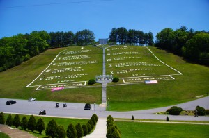
The 10 Commandments at Fields of the Wood - big enough God can read them

Once you turn east on TN 123 / NC 294, the ride is still pretty good, but the road opens up and the ride is not as scenic and challenging as you progress. Here’s how to punch it back up to outstanding.

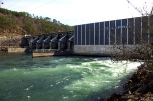
Watch for Fields of the Wood, it’s the closest landmark to the turn off onto Hiawassee Dam Access Road. Fields of the Wood is worth a stop to see and a nice place for a break. Those with devout religious leanings will be inspired by the hillside with the ten commandments written out in stone, as well as numerous other Biblical icons and monuments. For those inspired more by hellacious and challenging roads, Hiawassee Dam Access Road is next leading to devilish twists and curves.

Photo - Hiawassee Dam

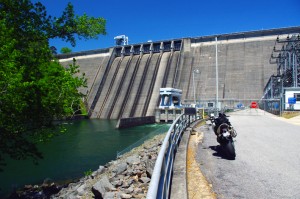
The Hiawassee Dam is a nice spot for a break.

Turn onto Hiawassee Dam Access Road to start the fun. You may encounter a little traffic approaching the dam on weekends as many come for boat access to the lake and river. Once past the dam, the excellent and challenging road continues a course around the west side of the lake. Turn right onto Joe Brown Highway when you reach the end of Hiawassee Dam Access Road.

Joe Brown Highway is hardly what any of us think of when the word “highway” comes to mind. This isolated and remote twisty two lane back road is packed with curve after curve and some pretty decent Smoky Mountain scenery, though you’ll be paying more attention to the road than the horizons. It’s a whole lot of fun, usually carries very little traffic, and may be the best section of the entire loop, a nice contrast to the sweeping curves of the Cherohala Skyway.

Photo - Nantahala Outdoor Center

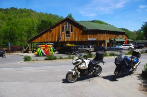
The Nantahala Outdoor Center on the river is another great break spot with bathrooms, good food, nice views, and the place to arrange a river trip.

Joe Brown Highway runs you right through downtown Murphy, NC to intersect US 129 / 74 at the junction with US 64 East. Turn north to follow the four lane to Andrews where it funnels down to two lanes again for the ride through scenic Nantahala Gorge. You’re bound to run into traffic in Nantahala Gorge, but the scenery along the popular whitewater river makes up for it. Avoid the gorge on weekends when possible as the buses hauling rafters and kayakers tend to bottle things up.

Once through Nantahala Gorge, turn left onto NC 28 and back into the twists and curves to return to The Dragon at Deals Gap.

Photo - View from Hiawassee Dam Overlook

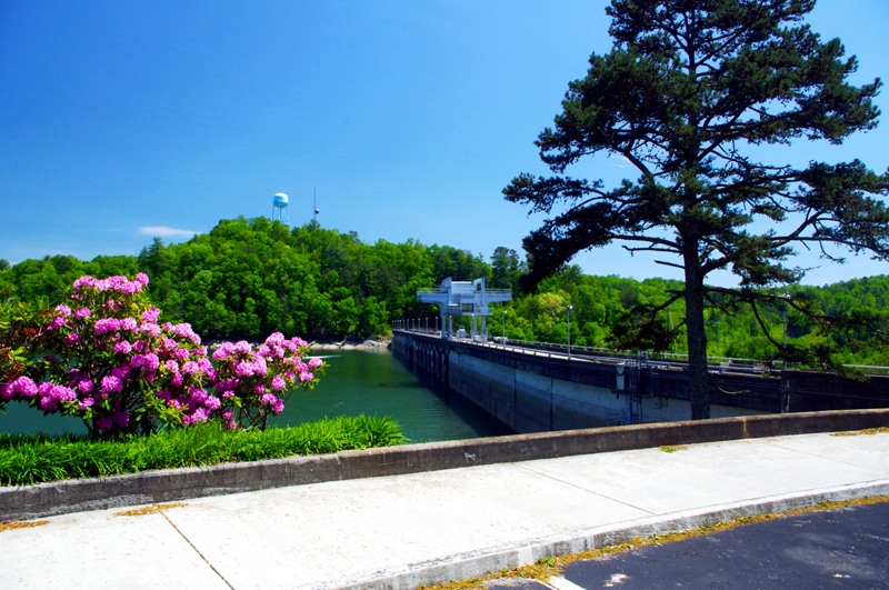
There are nice spots for a break both atop and below the Hiawassee Dam. The road runs across it then continues around the lake.

_______________________________________________________________________________
Wayne Busch
Wayne Busch – Cartographer
– Wayne Busch lives in Waynesville, NC, where he produces the most detailed and comprehensive and up-to-date motorcycle pocket maps of the Blue Ridge and Smoky Mountains to help you get the most of your vacation experience. See them here – AmericaRidesMaps.com 

Motorcycle the Dragon, the Cherohala Skyway, the Blue Ridge Parkway in one day

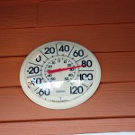
Photo - Thermometer at Deals Gap Motorcycle Resort

Thermometer at Deals Gap Motorcycle Resort

It was 80 degrees when I pulled up at the Deals Gap Motorcycle Resort yesterday at 5 PM with over 400 miles of Smoky Mountain motorcycle rides already behind me. 8 hours ago I was on the Cherohala Skyway as the soft morning glow and gusty winds made the lonely road seem like it was in another world.  I decided to make the day a trifecta and go home via the Blue Ridge Parkway. It’s hard to believe it’s still March, early spring has arrived!

Photo - morning on the Cherohala Skway

Morning on the Cherohala Skyway. I'm parked on the state line between North Carolina and Tennessee.

I had reservations about going out today, I’d been putting it off. I knew I would not find many good motorcycle rides in the areas I was searching. It was either too far out of the mountains or too far to into them. I was hitting the single lane back roads in the National Forests near The Dragon at Deals Gap and the Cherohala Skyway,  as well as the best ways to pass through the semi-urban areas to the north.

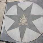
Photo - marble campfire

Who knows where this is?

I found something cool out in the Cherokee National Forest that will get it’s own motorcycle blog post shortly. One of the more useful things I discovered is one of the most direct ways to connect The Dragon at Deals Gap to I-75 south of Lenoir City.

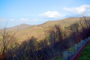
Photo - Cherohala Skyway View

A long view of the Cherohala Skyway as it winds into Tennessee

I suspect many riders follow US 129 to Maryville, then take US 321 north when headed for the Interstate. There is  a way to minimize the traffic and avoid more than half of the four lane US 321.

Take TN 72 north from The Dragon at Punkin Center. When you reach US 411, cross it onto the East Coast Tellico Parkway and follow it along the lake area. It will become Axely Chapel Road at the north end and will intersect US 321. These are not outstanding motorcycle rides, but they are a heck of a lot better than the alternatives and get you off the four lane on some scenic and curvy motorcycle roads.

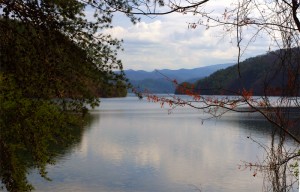
Photo - Calderwood Lake

Calderwood Lake is one of several along US 129

I don’t really care much for riding in this area, but it’s only because there are so many really great motorcycle rides once you get in close to Great Smoky Mountains National Park. It’s hard to shine when pitted against them.

I’ve been mostly focusing on find the connections between the better rides so you can link them together. If you have the time when passing through, they are the most enjoyable motorcycle rides I can find for those who would rather stay on the back roads and savor them. The views are certainly more entertaining. Watch out for turkeys in the road.

Photo - Chillowhee Dam

How many of you have seen the Chillowhee Dam from this side?

My “wake up and dream” cruise on the smooth and sweeping curves of the Cherohala Skyway was the highlight of the morning.  The rest of it was on a web of roads which weave through the more remote and rugged sections of the national forest. A few of them start out as decent paved roads, but quickly diminish to single lane unmarked trails that become more potholed and full of gravel as you go. On most, the pavement ends long before the road does.

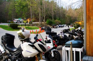
Photo - motorcycles at Delas Gap Motorcycle Resort

5 PM on a Tuesday evening in late March at the Deals Gap Motorcycle Resort

I’ll need at least one more good day to cover this area as thoroughly as I’d like. I’ve hit almost all the roads. The challenge now is how they work together to become the best motorcycle rides through the area, how well do the linked roads flow, can I find ways to make the good motorcycle rides last longer?

I know I can!

(Click on photos for larger views)
_______________________________________________________________________________
_______________________________________________________________________________
Wayne Busch
Wayne Busch – Cartographer
– Wayne Busch lives in Waynesville, NC, where he produces the most detailed and comprehensive and up-to-date motorcycle pocket maps of the Blue Ridge and Smoky Mountains to help you get the most of your vacation experience. See them here – AmericaRidesMaps.com 

Motorcycle + Ice + Fun = Minor Damage

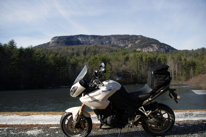
A minute after this photo was taken my bike lay on its side and I couldn’t pick it up.

Photo-Whitesides-mountain-nc-motorcycle-by-frozen-lake

A minute after this photo was taken my bike lay on its side and I couldn't pick it up. Whiteside Mountain in the background has the highest cliffs in the east.

It was the last of the roads I planned to explore on a winter motorcycle riding dayin the Blue Ridge Mountains. I stopped at this frozen lake to take the picture beneath the 1000 foot cliffs of Whiteside Mountain. As I tried to turn the bike around and leave, my foot slipped on the icy gravel and down it went. Each time I tried to pick it up the wheels just skated on the frozen ground and I couldn’t get the leverage to lift it. Within minutes I was exhausted, out of breath, and starting to seriously wonder just how I was going to get out of this predicament.

Photo-motorcycle-on-icy-US-276

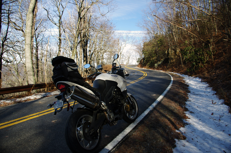
I didn't realize how icy US 276 was until I stopped. My feet skidded on the thin coat of black ice that covered parts of the road. It had been a long slow climb to get this far.

Had I any sense I would have turned back this morning and put this off, but I’ve set a deadline for this motorcycle ride map revision. After several days of a hard cold followed by rain, I figured the roads should be in better shape now with the relatively warmer weather. When the frostless morning came with 33 degrees on the thermometer and the promise of sunshine, I was elated to get back out on the road. It wasn’t as warm as I thought.

Photo-view-of-mountains-in-clouds-from-Blue-Ridge-Parkway

As I looked south when I crossed the Blue Ridge Parkway my destination lay beneath that bank of clouds near those mountaintop islands on the left horizon.

Heading out things appeared to be fine. The rains melted all but the last clumps of snow the plows had skidded to the roadside. The ride out through the Bethel Valley was as usual. Once I entered the Pisgah Forest and started the winding climb to crest the Blue Ridge Parkway it got interesting.

photo-motorcycle-on-snowy-US-276

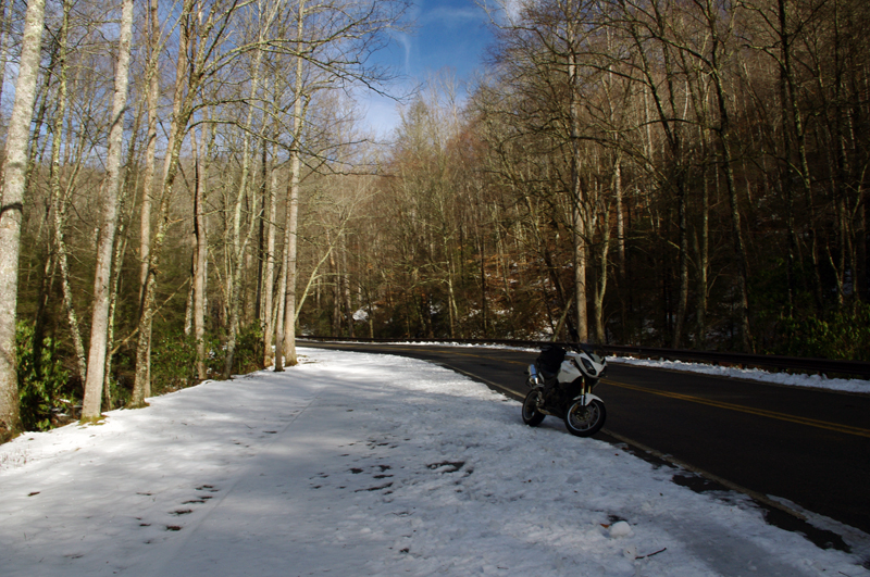
I thought conditions would get better once I started down the south side of the mountains but if got worse until I reached US 64 in Brevard.

This is where I’m supposed to entertain you
with how hard it was, how bad the roads were,
that it was all harrowing moments
of slips and slides and near spills –
That’s not how I recall it.

I play with conditions like these,
flirting with the balance
at the the edge of control.
Find the sweet spot of the given moment,
do my best to guide the slides,
find the rhythm of the road,
and push as far as I dare let it go.
That’s what I remember –

It took 2 hours instead of one
to reach the South Carolina border,
but once I came down off Caesar’s Head
the ice was gone.

Photo-table-rock-south-carolina

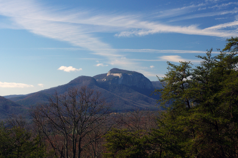
Table Rock in Table Rock State Park, South Carolina, viewed from US 276 coming down through the hairpin turns that descend from Caesar's Head State Park.

I picked up a few new roads in South Carolina for you to enjoy on your motorcycle vacation tour this year including one that was so promising I’m going to research the potential for mapping in that area. While I had to be vigilant for salt and sand, I had lots of fun on motorcycle rides old and new to me. As soon as I crossed back into North Carolina the snow and ice was back.

photo-winter-view-lake-jocassee-sc

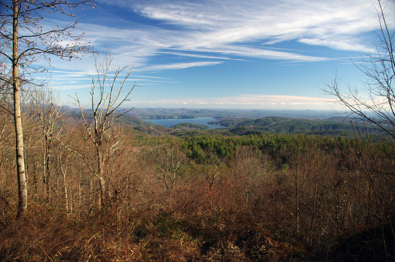
A view of Lake Jocassee, SC from the Wiginton Scenic Byway as I climb back into snowy North Carolina. Whitewater Falls, highest in the east, feeds the lake.

I knew it was probably a waste of time to ride out into Whitesides Cove, but I know this great spot to get a picture. There’s always the chance the unpaved portion to Highlands has been improved. Unless I check periodically I don’t know when one of these two lane twisties has had an upgrade and is worth adding to my Blue Ridge motorcycle ride maps.

Photo-ice-on-NC-215

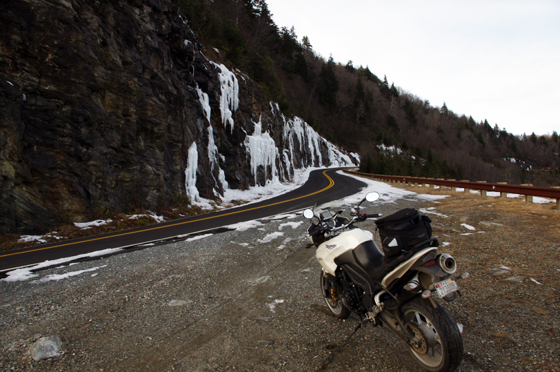
By spring these rocks on US 215 near the Beech Gap exit of the Blue Ridge Parkway will be coated with ice several feet thick.

You already know I got out of the jam. It sure wasn’t pretty. For a second I thought – “take a picture of this”, then a wiff of gasoline told me the longer it the bike lay there the less likely it would start. Little chance of someone passing by to help on this isolated road. The sun was getting low, things were already frozen, it would be a long cold night.  It was time to be working my way home.

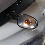
Photo-broken-lens

New lens already on order

I flushed with adrenaline when those thoughts hit, carefully considered the mechanics, dug my feet in, and with my back to the bike I half lifted-half wresteled the beast up with a quivering slo-mo almost failed heave. A broken turn lamp lens lay on the ground, the mirrors had twisted out of position, but otherwise the mud would wash away when I got home.

Hooray – I think that completes the roadwork I needed to finish up this new motorcycle ride map. I plan to have it ready by Christmas. It not only combines 2 existing maps into one, but adds more than a dozen new motorcycle roads I’ve never published before. It also gets nearly all the roadside waterfalls on a single map. This will be one of my most popular ride maps yet!

Visit America Rides Maps.com – the most inexpensive & comprehensive motorcycle ride maps available

_______________________________________________________________________________

Wayne Busch
Wayne Busch – Cartographer
– Wayne Busch lives in Waynesville, NC, where he produces the most detailed and comprehensive and up-to-date motorcycle pocket maps of the Blue Ridge and Smoky Mountains to help you get the most of your vacation experience. See them here – AmericaRidesMaps.com 

A Winter Day Searching for Great Smoky Mountain Motorcycle Rides

The Smoky Mountains of the Blue Ridge aren’t waiting for the official arrival of the solstice – winter time is pretty much here and now. Last week was messy, wrapping up with a deluge of rain.  When the weather broke a little yesterday, I finally got out to do some motorcycle riding. I waited for the sun to get high enough to minimize any icy patches on the road, then set out on a cold and mostly overcast day. It’s good that I did. It looks like we’re in for a cold wet stretch of dismal gray skies and the constant threat of rain or snow over the next few days. It’s hardly the kind of winter weather that inspires one to go dashing over the river and through the woods on your motorcycle no matter how much Grandma wants to see you. When the skies clear, you shouldn’t chance missing the opportunity to get out and ride. The good riding days will be more and more rare.

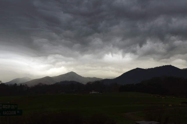
Photo - morning clouds bring us snow

After yesterdays break in the weather, clouds are moving back in this morning. Rain will turn to snow tonight, but not a significant amount. Blustery for the next few days.

I spent the afternoon prospecting for great motorcycle rides near Hendersonville, Mountain Home, Pisgah Forest, and Mills River. I’d not paid this area much attention before as it was not a piece of real estate previously included in one of my motorcycle maps.  There’s relatively high traffic and congestion around here and I tend to avoid going through, but I’m already thinking about the Asheville Bikefest in the spring and I want to become more knowledgable of this nearby area. It turns out there are a number of nice roads passing through it and I managed to locate and explore several good new ones I can now recommend as more enjoyable alternatives to the main roads.

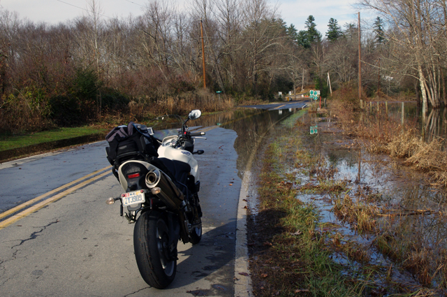
Photo - flooded road near Mills River

This area got hammered by recent heavy rains and I forded a few flooded roads this afternoon. While some were several feet deep yesterday and some cars got stranded, the water was only inches deep today.

Located south and slightly west of Asheville, the mountains in this area are not as high as those to the north in the Pisgah Forest. There are a number of rivers which flow through here, some farmland, a few high end neighborhoods, and some rugged and forested areas like the Dupont Forest with it’s many waterfalls. I -26 runs north-south just a few miles east and the border with South Carolina in only minutes away. It’s a pretty area, but the mountains of the Pisgah Forest and the Blue Ridge Parkway to the north overshadow it.

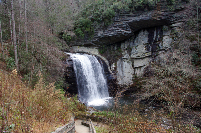
Photo - Looking Glass Falls

I commuted via US 276 from Waynesville to Brevard to reach the area. No ride on US 276 is complete without a stop at Looking Glass Falls.

The areas I have left to scout for this map revision (in progress) are scattered across 4 states. I’ve still got to press a little further into South Carolina then sweep west into the corner of Georgia to look at one potentially good road. The bulk of the remaining riding is in Tennessee, just north of Great Smoky Mountains National Park. I’ll need two really good days to thoroughly re-explore that area.

If the weather doesn’t break soon, I’ll start working on the next map, the companion to this one. I’ve got plenty to occupy my time. Still, I’d rather be out riding.

_______________________________________________________________________________
Wayne Busch
Wayne Busch – Cartographer
– Wayne Busch lives in Waynesville, NC, where he produces the most detailed and comprehensive and up-to-date motorcycle pocket maps of the Blue Ridge and Smoky Mountains to help you get the most of your vacation experience. See them here – AmericaRidesMaps.com