A Great North Carolina Motorcycle Ride near Franklin

Here’s a nice motorcycle ride west of Franklin, NC most riders never see. It’s easy to ride right past it onUS 64 between Franklin and Hayesville.

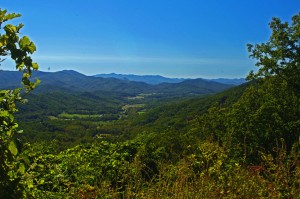
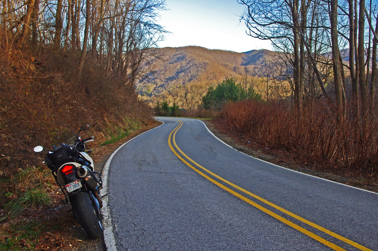
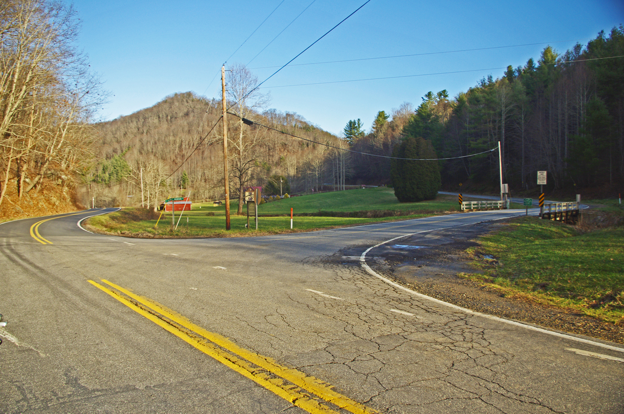
photo-view-west-from-us-64

West view from US 64 looking towards Hayesville, North Carolina.

US 64 has long been a favorite motorcycle ride as it makes a lazy climb through the mountains of the Nantahala National Forest. It’s a popular way to travel from Franklin to Murphy, or approach the great rides found just across the border in north Georgia.

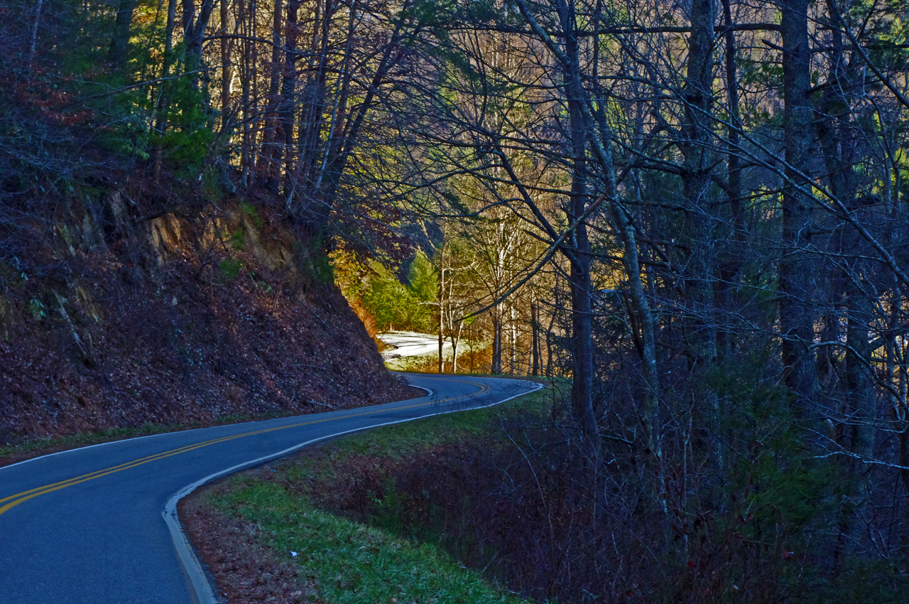
Scenic US 64 is an easy motorcycle ride with gentle climbs and descents, the curves are broad and sweeping, the road wide and well maintained, and there are a couple nice overlooks.

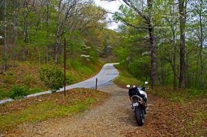
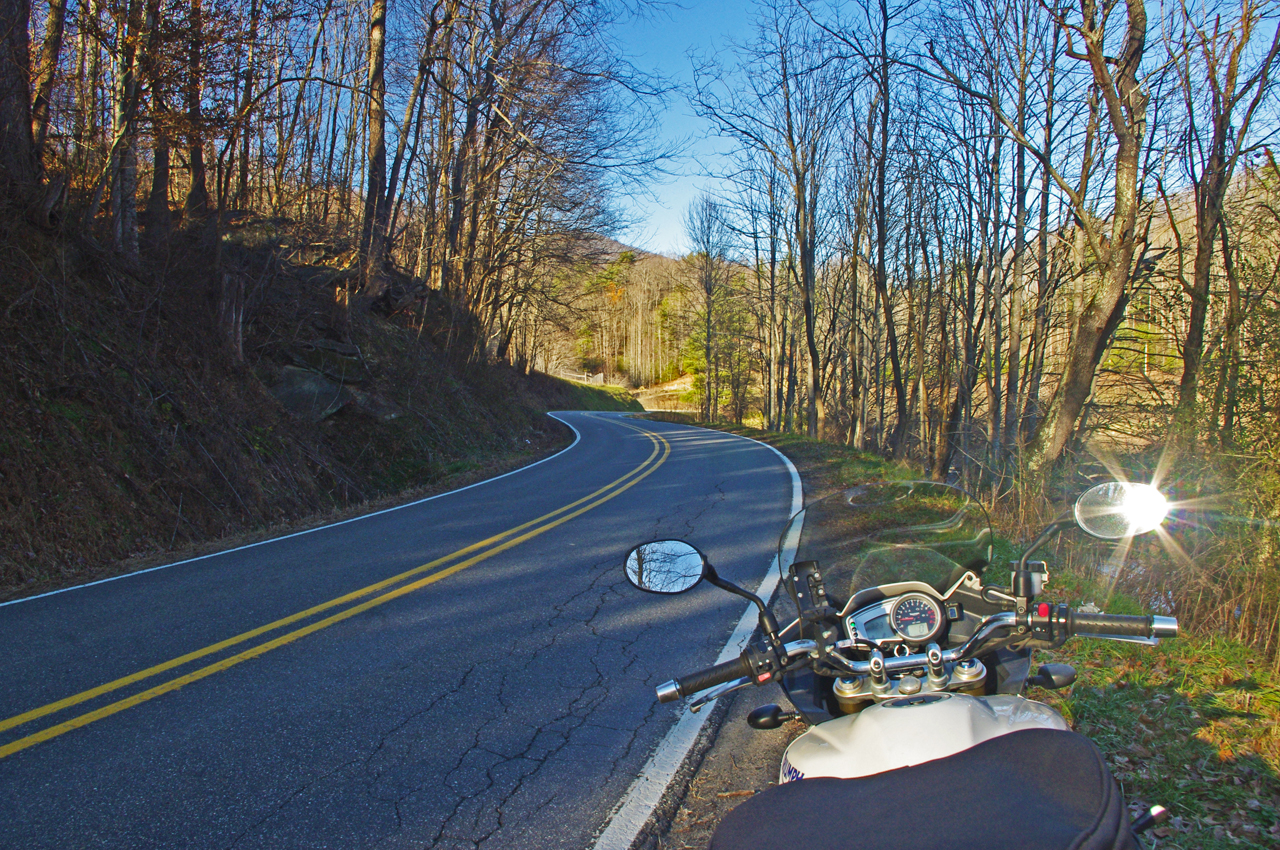
photo-fall-view-us-64

US 64 is an easy ride, well maintained, wide and sweeping, but it can carry a good amount of traffic at times.


Near the middle of this section of US 64 you’ll find West Old Murphy Road winding into a mountain pass to the east. It’s a nice motorcycle ride that loops back to connect with US 64 closer to Franklin in 8.6 miles.

As much as I enjoy riding US 64, I don’t give it a top rating on my maps. US 64 is the primary east-west connector across the southern border of western North Carolina. Because of this, you’ll rarely have the road to yourself to enjoy. Local, commercial and tourist traffic use US 64 and chances are you’ll run in to at least a little of it.

West Old Murphy Road let’s you escape if you do get caught behind a string of slow traffic crawling up the grade.  If you’re looking for something more challenging and entertaining, you’ll find it on West Old Murphy Road.

photo-cemetary-w-old-murphy-rd

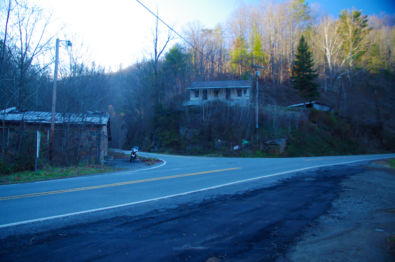
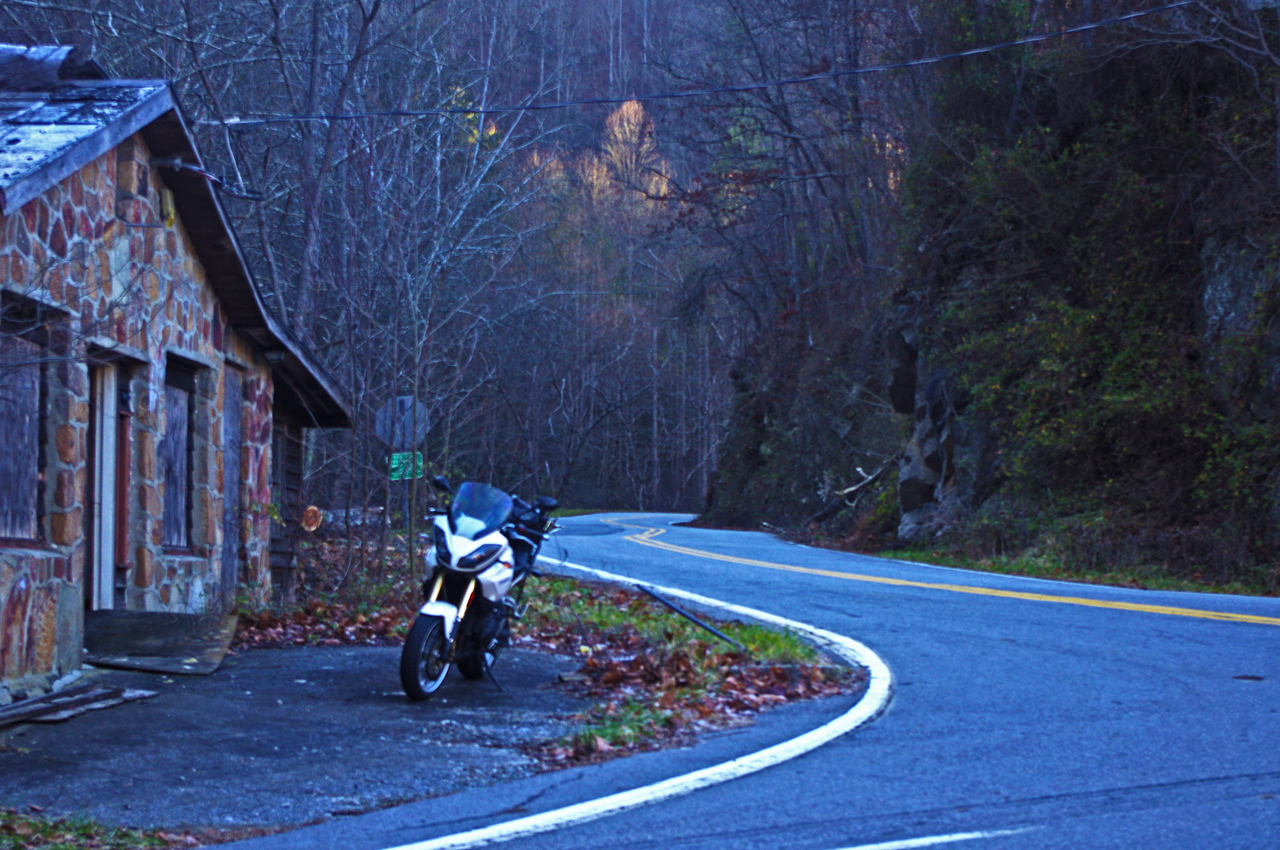
One of my favorite break spots, a small cemetery on W Old Murphy Rd.

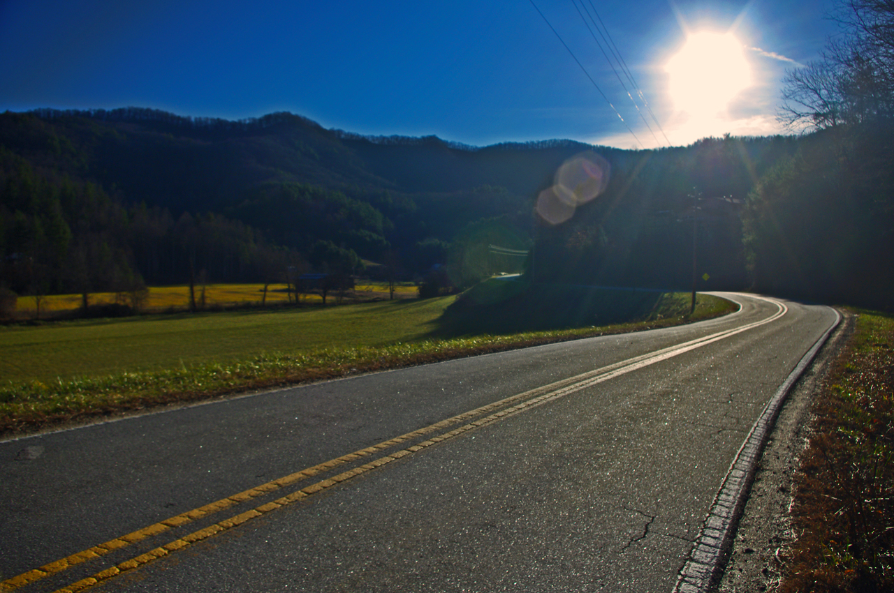
This great motorcycle ride circles around the south side of the mountain US 64 skirts to the north. It’s devilishly twisty in places, the pavement is decent, and there are a few nice views though it’s another one of those roads you’ll be watching the  twisty pavement more than the pretty scenery.

West Old Murphy Road is easy to find at either end. Nearest Franklin, it’s near the point US 64 goes from two lanes to the four lane section  which circles south of the town. Near the mid point of US 64 look for signage on the east side of the road for Standing Indian campground in the National Forest.

Not far in from the mid point is one of my favorite spots for a quick break. You’ll see a pull-off near a small embankment. Atop the rise is an old graveyard. There are some good places to sit and enjoy the reverent solitude.

image-map-of-w-old-murphy-rd

You can see W Old Murphy Road is a twisty little bugger, but a lot of fun to ride.

_______________________________________________________________________________

Wayne Busch

Wayne Busch – Cartographer

Total Rider Tech Logo

Learn Total Control

– Wayne Busch lives in Waynesville, NC, where he produces the most detailed and comprehensive and up-to-date motorcycle pocket maps of the Blue Ridge and Smoky Mountains to help you get the most of your vacation experience. See them here – AmericaRidesMaps.com

Wayne is an advanced motorcycle instructor for Total Rider Tech teaching Lee Parks Total Control Advanced Rider Courses. It’s time you looked into advanced rider training to ride more confidently and safely, it will change your mountain riding experience. It worked so well for me I became an instructor! Total Rider Tech

_______________________________________________________________________________

West Old Murphy Road and many other roads in the surrounding area is found on America Rides Maps #7 – The Best Motorcycle Rides SOUTH of GSMNP
The start of it is also shown on America Rides Maps  – Map #9 – The Best Rides in the North Georgia Mountains


First Day of Winter – Let’s Ride the Blue Ridge Parkway!

So here it is, winter is officially upon us today and I spent the best of it on my motorcycle on the Blue Ridge Parkway.

I couldn’t stand it any longer. It was so warm when I took the dog out this morning I knew I was going to HAVE to get on the bike. The weatherman says rain is coming to the Smoky Mountains so I knew I’d need an early start.

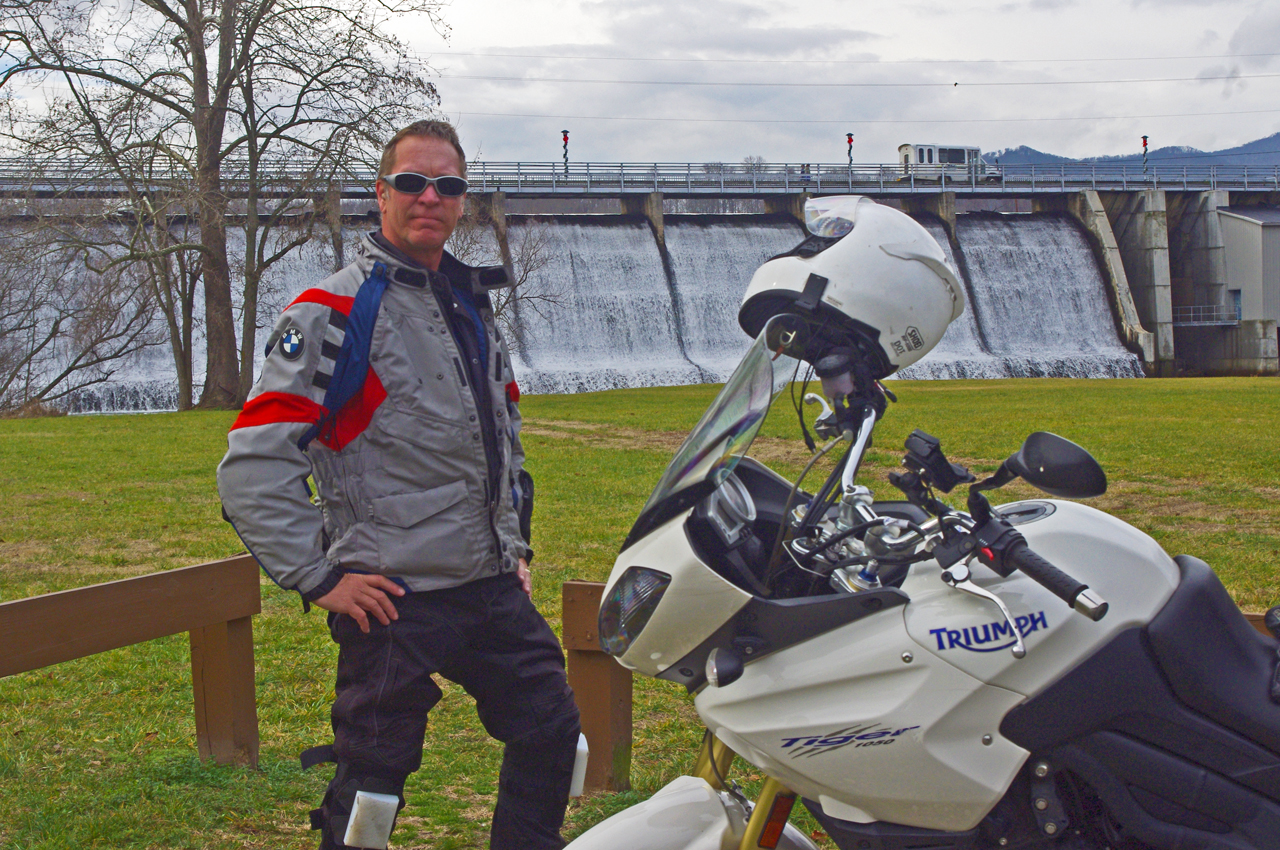
photo-wayne-at-lake-junaluska-dam

I would have settled for a nice short ride - (if you believe that, you don't know me very well)

“Just a short ride” I told my wife.

If nothing else I’d top up the near-empty tank and make a short spin of it. Thinking of someplace close I could get a photo, I headed to the dam at Lake Junaluska. Sure looked like rain was coming. Got my photo, then where?

It’s been so unusually warm lately, I decided to ride over to Maggie Valley and see if the Blue Ridge Parkway was open. Slim chance of it, but just maybe….

Photo-Wayne-celebrates-at Waterrock-Knob

Made it to Waterrock Knob! Enveloped in clouds, raining, but totally unexpected at this time of year. That would have been enough for most riders - it just goaded me to push on.

Passing the man made snow at Tony’s Tube World as I left the valley, I started to consider alternatives. If snow could linger down low, it would sure be too cold up high for the parkway to be open. If it wasn’t, I could always cruise over to Cherokee.

I turned onto the ramp to the Blue Ridge Parkway at Soco Gap, and sure enough, the gates towards Cherokee were closed when I reached the top. Oh well.

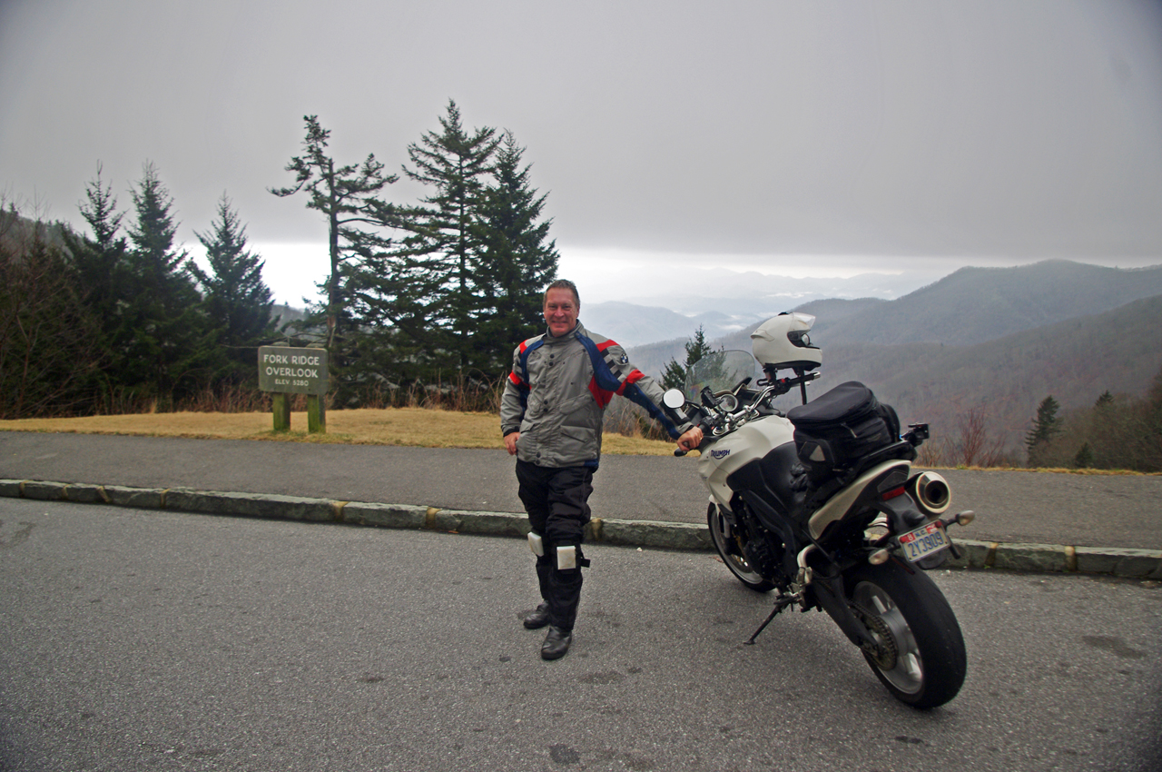
motorcycle-at-fork-ridge-overlook-1st-day-of-winter

I stopped for a photo when I came down to the mile-high Fork Ridge overlook. You can see the cloud ceiling a few hundred feet above me and the clouds in the valleys below.

As long as I was here, might as well ride over to see if the gates were closed heading south though the chances were even slimmer as the parkway climbs to some of the highest parts in that direction.

Surprise, surprise, the gates were open and I rolled on the throttle!

I didn’t think I’d get far, but I might at least get a photo from one of the lower overlooks. As I climbed, I came nearer and nearer to the cloud bank that socked in the mountain tops. Still, the road was clear.

Photo-first-day-of-winter-on-blue-ridge-parkway

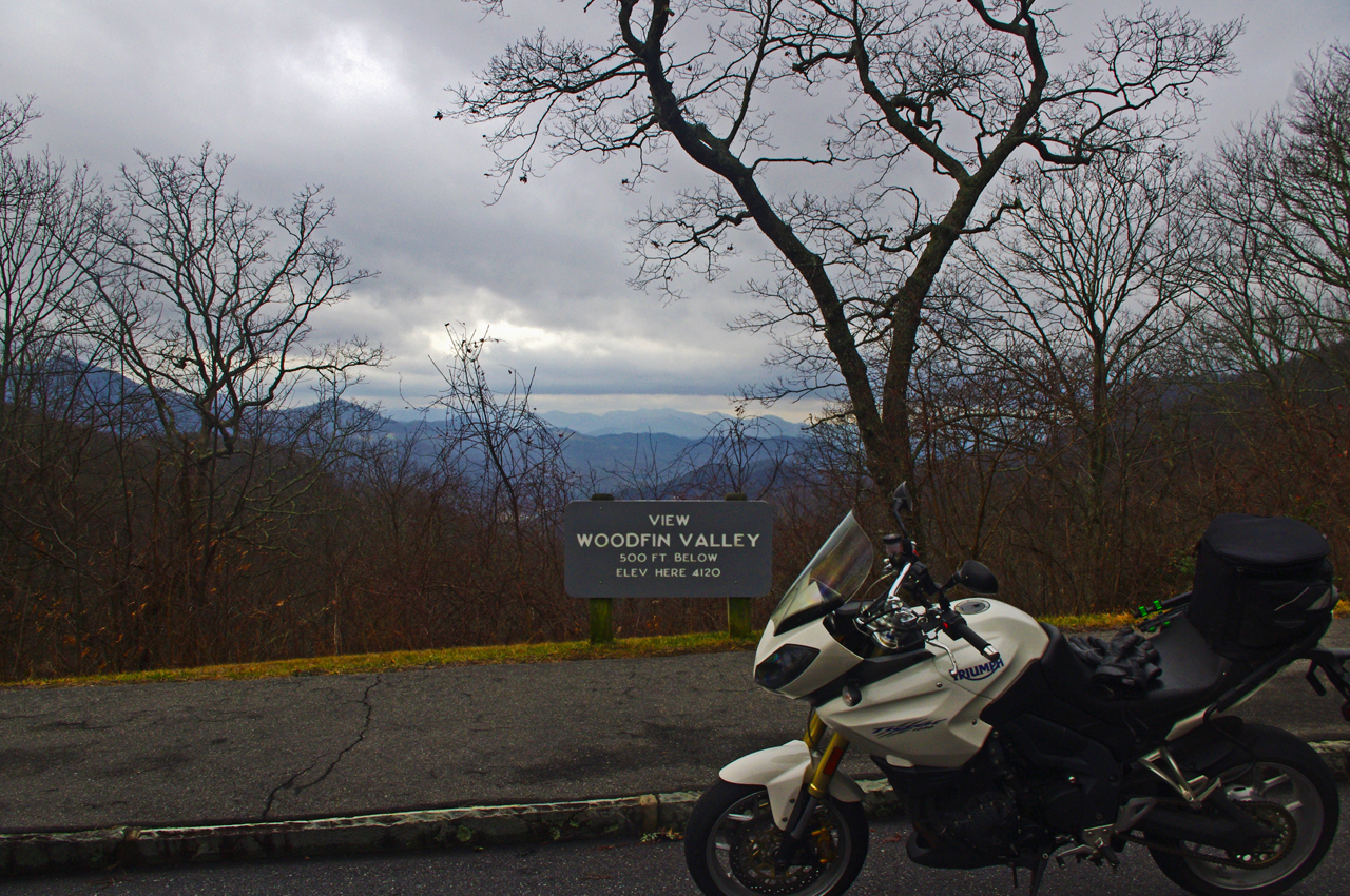
It was a good day for riding so long as you stayed down low. At 4000 feet, the Woodfin Valley overlook shows it's fine at the lower elevations. I couldn't resist going higher.

I was stoked when I reached Waterrock Knob. Totally enveloped in thick clouds and peppering light rain, I stopped for another photo. This was awesome and a rare occasion this far into the cold season.

I was happy as I continued towards the next exit at US 74 in Waynesville, dropping back below the ceiling of clouds and out of the rain.

I almost left the parkway at Waynesville (see my video of Waynesville), as the next section of the Blue Ridge Parkway leads to the highest point on the road. No way it would be open. Still, I was curious as to how far I would get and amazed to find the gates open as I crossed over the highway.

photo-wayne-rides-his-motorcycle-to-the highest-point-on-the-parkway

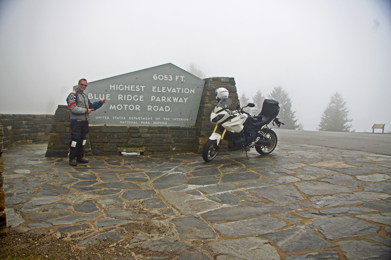
Can't believe it! I rode to the highest point on the Blue Ridge Parkway on the first day of winter. Same day last year we got a snow that covered the yard until well into march.

I began climbing again, and before long was back in the wet cloud bank. Except for a few stray cars, I had the road to myself and enjoyed it with enthusiasm.

It was windy and poor visibility when I reached the high point, but it was another unexpected treat. Took another photo to remember it by.

I rode the rest of the way to Beech Gap and NC 215 in heavy wet fog (here’s a wicked ride nearby). No views to speak of, and lots of rocks and debris from the small slides that occur where rocky faces run close to the road. Winter thaws and freezes cause a lot of little slides during this season but it’s not much of a problem as no one is there to be affected by them.

photo-fall-on-nc215-great-motorcycle-ride

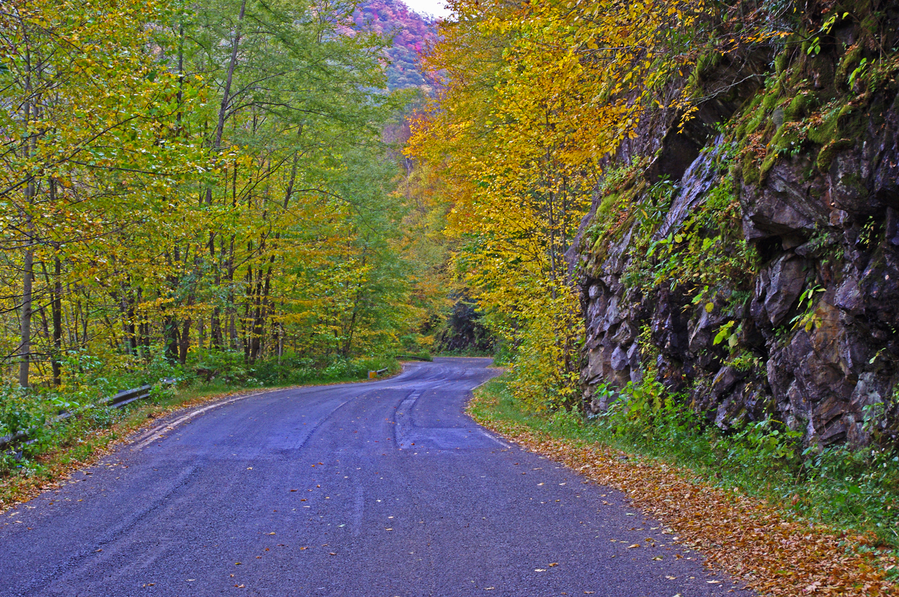
Road condition has improved marginally since this fall photo of NC 215 following the resurfacing. Still plenty of loose gravel and slippery corners to negotiate. Not for the faint-of-heart. It will improve, but how much?

The ride home via NC 215 (see my video of NC 215)is unchanged from my last visit – the road is till a mess. If riding sharp turns on loose gravel isn’t your thing, you will want to avoid it a while longer until things clean up.

Same day last year, we got snow so deep it laid in my yard for 3 months. This year I’m riding. I think I like this year better!

_______________________________________________________________________________

Wayne Busch

Wayne Busch - Cartographer

Total Rider Tech Logo

Learn Total Control

– Wayne Busch lives in Waynesville, NC, where he produces the most detailed and comprehensive and up-to-date motorcycle pocket maps of the Blue Ridge and Smoky Mountains to help you get the most of your vacation experience. See them here – AmericaRidesMaps.com

Wayne is an advanced motorcycle instructor for Total Rider Tech teaching Lee Parks Total Control Advanced Rider Courses. It’s time you looked into advanced rider training to ride more confidently and safely, it will change your mountain riding experience. It worked so well for me I became an instructor! Total Rider Tech

_______________________________________________________________________________

Smoky Mountain Motorcycle Rides – Meadow Fork Rd

Two good motorcycle roads are found along NC 209, a.k.a. “The Rattler“. They make a nice side loop on the popular motorcycle ride from Junaluska to Hot Springs in North Carolina. 

Photo-Meadow-Fork-Rd-View

A section of Meadow Fork Road which demonstrates the character of the curves through much of the ride.

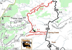
Meadow Fork Road Map

Meadow Fork Road spurs off NC 209 about 7 miles south of Hot Springs. The road follows the twisty banks of a whitewater creek for quite a while climbing gently on the challenging and scenic run. It  leads into the Pisgah National Forest where it becomes one of many unpaved forest roads high in the mountains.

Photo-The-Rattler-Motorcycle-Ride

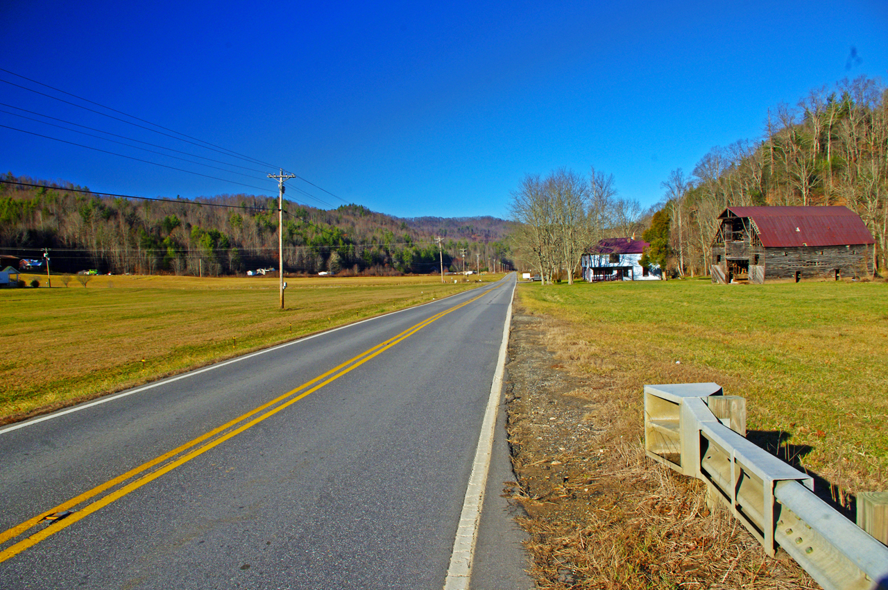
The 1.7 mile section of NC 209 which crosses the Spring Creek valley is the straightest road I can think of in western North Carolina. View approaching Caldwell Mountain Road

Caldwell Mountain Road meets Meadow Fork Road in 6.9 miles. 2.1 mile long Caldwell Mountain Road will take you over the mountain and down to meet NC 209 near the middle of the long straight stretch across the Spring Creek Valley.

photo-NC209-The-Rattler-motorcycle-ride-campground-sign

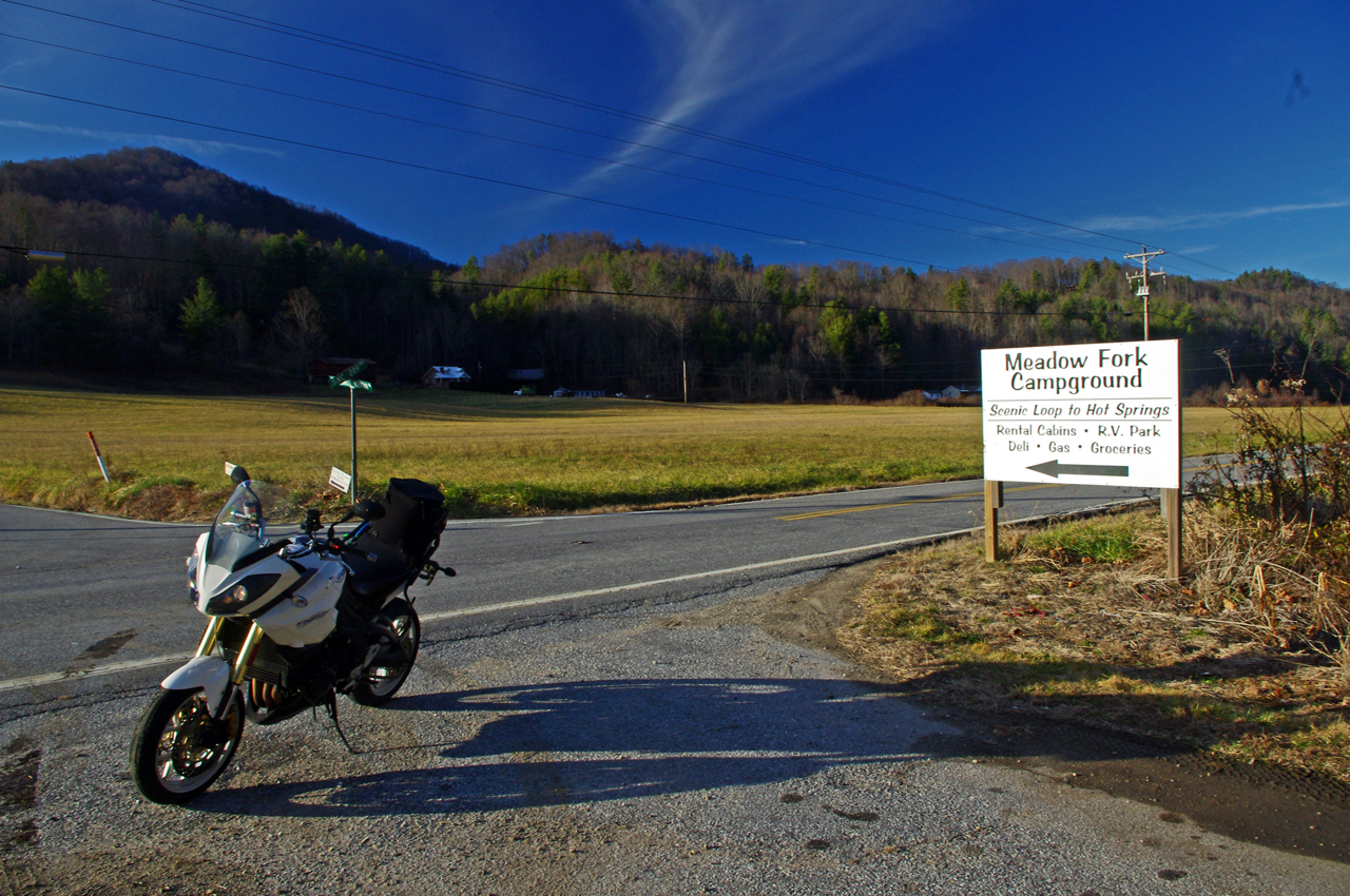
Caldwell Mountain Rd is easy to find. Ride to the middle of the long straight stretch of NC 209 in Spring Creek. Look for the sign for Meadow Fork Campground.

Caldwell Mountain Road and Meadow Fork Road form a nice loop on the west side of NC 209 when joined together. It’s a good way to vary the ride to and from Hot Springs and  see a few different sights.

Photo-road-sign

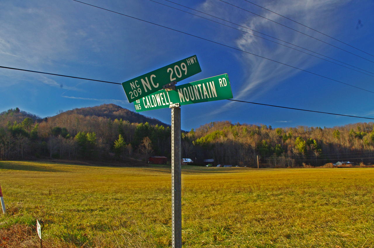
The sign may be a little crooked, but so is Caldwell Mountain Rd .

Both Meadow Fork and Caldwell Mountains Roads are paved, though if you miss turning at their junction you will run out of pavement before long when Meadow Fork Road reaches the National Forest. If you are on a dual-sport or adventure bike, this is one way to access the great unpaved roads that lead up to Max Patch bald and wind into Tennessee and the eastern edge of Great Smoky Mountains National Park. (See map OR-1)

Photo-Caldwell-Mountain_rd-motorcycle-ride

One of the few long range views on Caldwell Mountain Rd. You’ll probably be looking at the road instead.

Both of these roads are easy to find from NC 209. Their junctions are well marked. There is a prominent sign for the Meadow Fork Campground which marks the junction and it’s easy to spot Caldwell Mountain Road cutting across the felids in the valley as you approach.

Photo-Motorcycle-Ride-Meadow-Fork

Never far from the edge of the roaring creek, Meadow Fork Road twists through steep rocky hill sides and small valleys and coves.

Caldwell Mountain Road has some nice curves on the climbs and a few brief long range views. The pavement is a little bumpy in places, but generally is pretty good overall.

Photo-motorcycle -ride-meadow-fork-rd

There are some very pleasant views along Meadow Fork Road and lots of places to pause and enjoy it.

Meadow Fork Road follows the Roaring Fork River from NC 209 as it carves through the mountains for 7 miles to reach the junction with Caldwell Mountain Road. The road  traces the bank of the river  making it a nice curvy motorcycle ride for the most part. The pavement is in good shape – a long section near the river washed out and was replaced a few years ago with nice new pavement.

Photo-junction-NC-209-Meadow-fork-rd

The junction of Meadow Fork Rd and NC 209 is easy to spot though it may come up on you quickly as you come around a curve on either side.

Neither road has scenery you’ll be framing on the wall, though in general it’s pretty nice with small remote and isolated coves and valleys, the whitewater river along the road, and lots of hundred year old barns and the like.

Photo-start-of-Meadow-Fork-Rd

Just a peek down Meadow Fork Road shows what lies ahead.

This side loop off NC 209 adds a nice diversion, a little something different, without adding a significant amount of time to the longer motorcycle ride on classic NC 209 – The Rattler.

photo-junction-meadow-fork-caldwell-mountain

The junction of Meadow Fork Rd and Caldwell Mountain Rd is easy to spot, so navigation of this ride is easy and you can focus on enjoying the roads.

Related – Map and info about NC 209 – a.k.a “The Rattler”

America Rides Maps Map #6 – The Best Motorcycle Rides EAST of Great Smoky Mountains National Park

_______________________________________________________________________________

Wayne Busch

Wayne Busch – Cartographer

Total Rider Tech Logo

Learn Total Control

– Wayne Busch lives in Waynesville, NC, where he produces the most detailed and comprehensive and up-to-date motorcycle pocket maps of the Blue Ridge and Smoky Mountains to help you get the most of your vacation experience. See them here – AmericaRidesMaps.com

Wayne is an advanced motorcycle instructor for Total Rider Tech teaching Lee Parks Total Control Advanced Rider Courses. It’s time you looked into advanced rider training to ride more confidently and safely, it will change your mountain riding experience. It worked so well for me I became an instructor! Total Rider Tech

_______________________________________________________________________________

Motorcycle Safety & Why We Get it Wrong

“Watch out for Bikers”“Loud Pipes Save Lives” , and other such “be safer riding” campaigns get a lot of attention from motorcyclists, but when you look at the science, they approach the problem from the wrong side.
Image - Watch out for Motorcycles

False Hope

Studies show the greatest improvements in motorcycle safety are gained through better riding skills and awareness. 

I recently spent as much time as I could stand reading through studies on motorcycle accidents from the early 70’s through the mid 80’s – I found little data after that. The most notable of these is the Hurt Report, though there are also a couple big ones from Europe.

The results of these studies are consistent over time and irrespective of location with similar conclusions.

  • The most common multiple vehicle accident is caused by a car turning left in front of a motorcycle at an intersection – about 2/3 of multiple vehicle accidents.
  • The most common single vehicle motorcycle accident is running wide in a turn and leaving the road or sliding out – about 1/3 of single vehicle accidents.
  • In about 40% of motorcycle accidents one of the contributing or cuasative factors is inexperience or lack of skills to evade or avoid the accident by the motorcyclist

photo-motorcycle-crashAll of these are best addressed by the motorcycle rider through increased awareness and better skills.

Those popular “Watch out for Bikers” and “Loud Pipes Save Lives” campaigns are not supported by the science. They may be popular, and it’s easy to put the blame and shift the responsibility to cage drivers, but it’s an ineffective approach.

Watch out for bikers? Size Matters;

The studies go in great detail examining how visible motorcycles are on the road; color, frontal area, bright clothing, lights on/off, etc. While each of these things does increase visibility and have an impact, overall it’s not significantly relevant.  Bottom line is motorcycles are small compared to any other motor vehicle out on the road. You can do things to be more visible, but don’t count on it helping much.
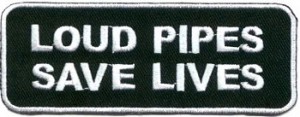
image - Loud pipes save lives

Too little, too late

Loud Pipes Save Lives? What’s that Noise?

We are primarily visual creatures. Biologically, we process and intake information visually. Auditory input is secondary. We listen to the radio or books on tape when driving because we know we process our driving information visually.

There are no scientific studies that examine whether loud pipes have any impact on driver awareness. The evidence is anecdotal or assumed – “I know my loud pipes kept that guy from moving into my lane”. Not if he didn’t see you. When it comes to the most dangerous situation for motorcycles, approaching an intersection, you can draw your own conclusions from a simple experiment. Next time your sitting at an intersection, note when you hear an approaching motorcycle. It’s long after you can see it. By the time the sound is loud enough to draw attention, it’s too late. Whatever is going to happen has already started.
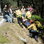
 Photo-motorcycle crash How to ride safer:

Riding a motorcycle in traffic is like  a mouse running through a heard of elephants. Be alert and ready to take quick evasive actions or you’ll be crushed.

  1. Always ride like you’re not seen. Expect the most common accident, that car pulling out in front of you. Intersections, side streets, and anything that obstructs the view tells you to get ready to react. Develop that second sense and practice spotting these hazards.
  2. Be Ready to React – ease off the throttle, get your hands ready to brake / clutch, get your feet off the highway pegs, down where you can get at the controls and position yourself to respond quickly.
  3. REACT – here’s where most failures occur and where better skills make significant statistical difference.

Once is not enough:

Typical motorcycle fail in the studies – car pulls in front of bike. Biker jams rear brake. Bike either skids upright into car or is “laid down” and slides uncontrolled along the ground. If you did take a Motorcycle Safety Course you have been exposed to how to brake and swerve – once. That was in a parking lot, at low speeds, with nothing to run in to, when you were totally focused on what you were doing. If that was the last time you practiced braking and avoidance, you are an accident waiting for an opportunity.

Motorcycle Safety  – Getting it Right
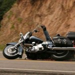
photo-motorcycle-rider-crashingThe science shows improving motorcycle riders skills are the most effective means of reducing accidents.

1) Up your skills with practice –

I can’t ever recall seeing anyone practicing motorcycle skills independently. One reason may be you find a secluded safe location to do it so it happens out of sight. I have my own “secret test track” not far from home where I go to hone my skills on a regular basis, but then I’m a motorcycle instructor and demand a high level of personal performance so I  can demonstrate skills well for my students.

Honestly, without such a motivation I rarely practiced riding skills on my own previously in any serious manner. We all know we could be better with focused practice, but riding time is so precious, it’s tough to give up a fun ride for the rigors of working on skills and practicing technique.  Let’s face it, it’s the rare motorcycle rider who ever does any independent practice.

2)  Use the force – No Pain, No Gain –

At least swap one type of pain for another –  a little financial pain can save you a whole lot of potential physical pain, as well as the attendant monetary consequences that result from even a minor accident. Since we’re unlikely to practice skills on our own, force yourself to do it. Pay for it and you’ll be motivated to give up the time and get your money’s worth.

3) Get ‘er Done

While there are plenty of things you can do to learn to be a safer rider, online sources, books, etc, or occasional practice on your own to improve skills, if you wan’t to get the quickest, best, and easiest  results find professional structured instruction. You’ll accomplish more in less time, and progress more quickly to being a better safer rider.

 Are you going to be safer next year?

It’s time to start thinking about those New Year resolutions. Becoming a safer rider is one to put on your list. Whether it’s repeating a basic course you’ve already had, or scheduling a track day to work on advanced skills, take action now and find an appropriate class for you. I know you want to ride more next year, don’t we all. Let’s all be safer riders as well.

Commit to taking motorcycle instruction to become a better and safer rider right now – scientifically sound advice.

_______________________________________________________________________________

Wayne Busch

Wayne Busch - Cartographer

Total Rider Tech Logo

Learn Total Control

– Wayne Busch lives in Waynesville, NC, where he produces the most detailed and comprehensive and up-to-date motorcycle pocket maps of the Blue Ridge and Smoky Mountains to help you get the most of your vacation experience. See them here – AmericaRidesMaps.com

Wayne is an advanced motorcycle instructor for Total Rider Tech teaching Lee Parks Total Control Advanced Rider Courses. It’s time you looked into advanced rider training to ride more confidently and safely, it will change your mountain riding experience. It worked so well for me I became an instructor! Total Rider Tech

_______________________________________________________________________________
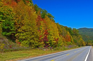
Great Motorcycle Rides Easy to Find Online

Great Blue Ridge & Smoky Mountain Motorcycle Rides discussed live online @ Map Chat

I’ve kicked off a new series of live online interactive webinars discussing the best motorcycle rides in the Blue Ridge & Smoky Mountains called Map Chat.

First Tuesday of each month at 8 PM eastern time, join me as I review one of my America Rides Motorcycle ride maps in detail.

Get the schedule and links to the webinars at http://americaridesmaps.com/map chat.html

Here’s a 5 min edited version of the first of the Map Chat series where we discussed Map #1 – Great Rides Near the Start of the Blue Ridge Parkway in Virginia.

The full (40 minute) version of the webinar is posted online at: http://youtu.be/8g4GatVrUNc

_______________________________________________________________________________

Wayne Busch

Wayne Busch - Cartographer

Total Rider Tech Logo

Learn Total Control

– Wayne Busch lives in Waynesville, NC, where he produces the most detailed and comprehensive and up-to-date motorcycle pocket maps of the Blue Ridge and Smoky Mountains to help you get the most of your vacation experience. See them here – AmericaRidesMaps.com

Wayne is an advanced motorcycle instructor for Total Rider Tech teaching Lee Parks Total Control Advanced Rider Courses. It’s time you looked into advanced rider training to ride more confidently and safely, it will change your mountain riding experience. It worked so well for me I became an instructor! Total Rider Tech

_______________________________________________________________________________

image-virigina-motorcycle-ride-map

#1 Great Rides near the Start of the Blue Ridge Parkway in Virginia

See  / purchase the map discussed – Map #1 Great Rides Near the Start of the Blue Ridge Parkway in Virginia