Wayne’s 2012 Blue Ridge Parkway Alternative Detours for Motorcycles

map-brp-detour-2012

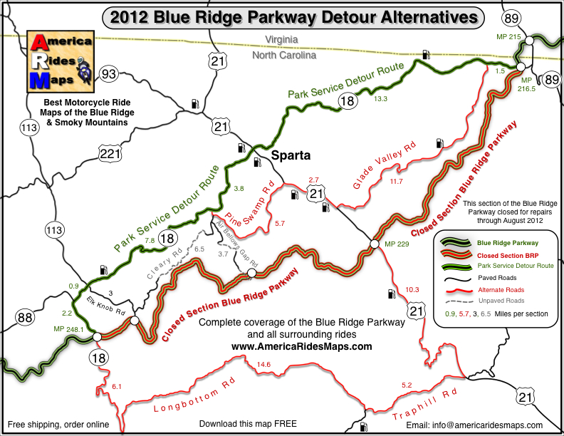
Don’t get caught up in the traffic on the Park Service Detour Route 

These roads allow you to take the shortcuts (or the long way round) that will keep you riding!

Get your free copy! Instructions at bottom of page.

photo-parkway-closed-signs-nc18

30+ miles of the Blue Ridge Parkway is closed for most of 2012 near the NC / VA border. Detour via NC 18.


There is one significant detour on the Blue Ridge Parkway for 2012. To my surprise, it’s an extension of the detour that closed this middle section of the road near the North Carolina / Virginia border last year. While I found a much better detour route for motorcycle touring in 2011, 2012 is a real challenge in this very rural area where a paved road is a rarity.
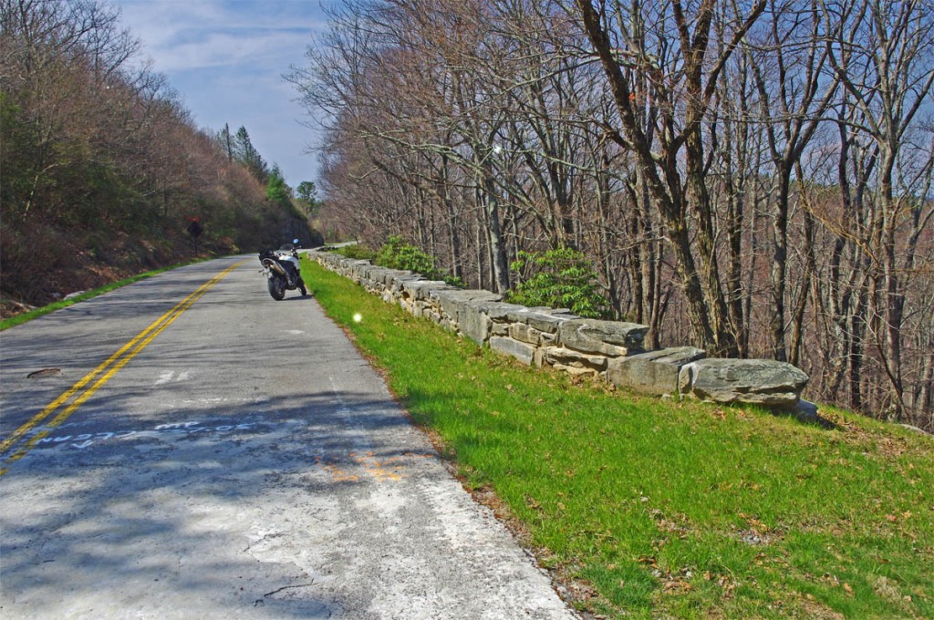
photo-stone-walls-on-brp

The Blue Ridge Parkway is closed for maintenance, repair, and rebuilding of the historic stone walls found in this 30+ mile section.

The Blue Ridge Parkway will be closed to traffic (including bicycles) in 2012 from Milepost 216.5 near Cumberland Knob to Milepost 248.1 for repair of historic stone walls (see photo). While the wall shown may not seem impressive, this is where the Blue Ridge Parkway was born back in 1930-40. The early masonry work you see on the overpasses, bridges, and walls was done by master masons brought over from Europe. A few third generation descendants continue this restoration work today.

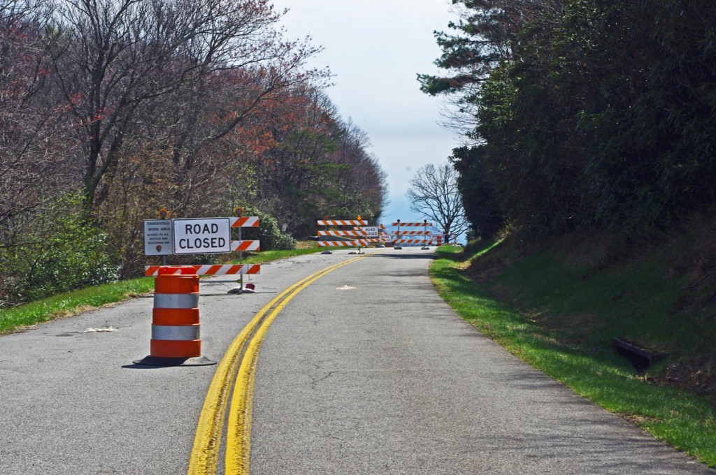
photo-brp-barricade

4 Road Closed signs, barrels, barricades, flashing lights, locked gate, - seriously closed!

Last year’s detour was north of the Blue Ridge Parkway through Sparta. I knew of a longer though much better route on the south side and produced a free downloadable map of it. It was fun. That route is included on the map. This years extension of the closure means there is no good way to bypass it completely on the south side of the Blue Ridge Parkway.
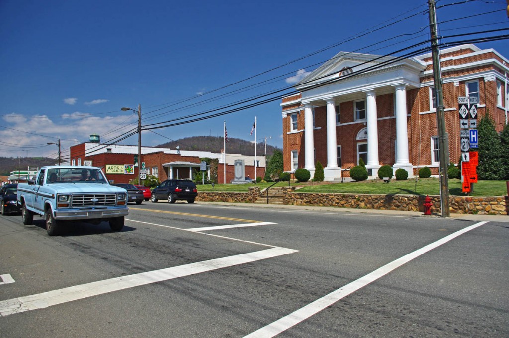
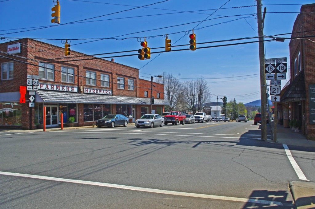
photo-sparta

The Allegheny County Courthouse is the cornerstone of downtown Sparta. It's a small crossroads town, little of interest to me.

The 2012 Park Service detour route is simple, just one road – NC 18 which intersects the Blue Ridge Parkway at two points. It’s the easy, elegant solution passing through Sparta. While NC 18 could be a decent motorcycle ride, it’s curvy and rolling, the lack of paved roads in the area means it also carries all the traffic. Few cars and trucks are able to maintain the 55 mph speed limit and there’s always that one or two that can’t seem to get much above 40 mph and the lines back up behind them. It can be frustrating to ride when you can’t enjoy the curves at a proper motorcycle pace.

photo-sparta

There - now you've seen Sparta. Don't feel like you've missed much if you bypass it.

Nor is there a compelling reason to go into Sparta. It’s a historic town at the crossroads of NC 18 / US 21, but I saw no places which looked enticing to eat at (one coffee shop), and the 2 gas stations require you to leave NC 18 and go a short distance on US 21. There’s a little museum, but miss Sparta and you won’t miss much.

map-brp-detour-2012

Download this map and print your copy or save it in your phone!

The roads show on the map offer alternatives to avoid most of the standard route and should save you some time. They will at least help you avoid getting caught up in any traffic that could get backed up on the official detour. For those on adventure bikes I’ve included a couple non-paved options that will let you get your wheels dirty on gravel roads.

Downloads:
Use http://americaridesmaps.com/downloads/BRP-detour-2012.pdf for a map you can print on a standard sheet of paper.

Use http://americaridesmaps.com/downloads/BRP-detour-2012.jpg for an image file you can store in your cell phone, iPad, or GPS.

__________________________________________________________________

Wayne Busch

Wayne Busch - Cartographer

Total Rider Tech Logo

Learn Total Control

– Wayne Busch lives in Waynesville, NC, where he produces the most detailed and comprehensive and up-to-date motorcycle pocket maps of the Blue Ridge and Smoky Mountains to help you get the most of your vacation experience. See them here – AmericaRidesMaps.com

Wayne is an advanced motorcycle instructor for Total Rider Tech teaching Lee Parks Total Control Advanced Rider Courses. Isn’t it time you looked into advanced rider training to ride more confidently and safely? It can transform your mountain riding experience.  Total Rider Tech

____________________________________________________________________

Motorcycles use caution – Rocks and Ice on the Blue Ridge Parkway

Early spring means early season motorcycle riding on the Blue Ridge Parkway, but nightly freezes cause lots of small rock slides.

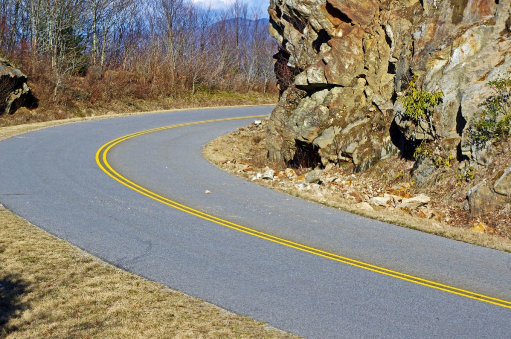
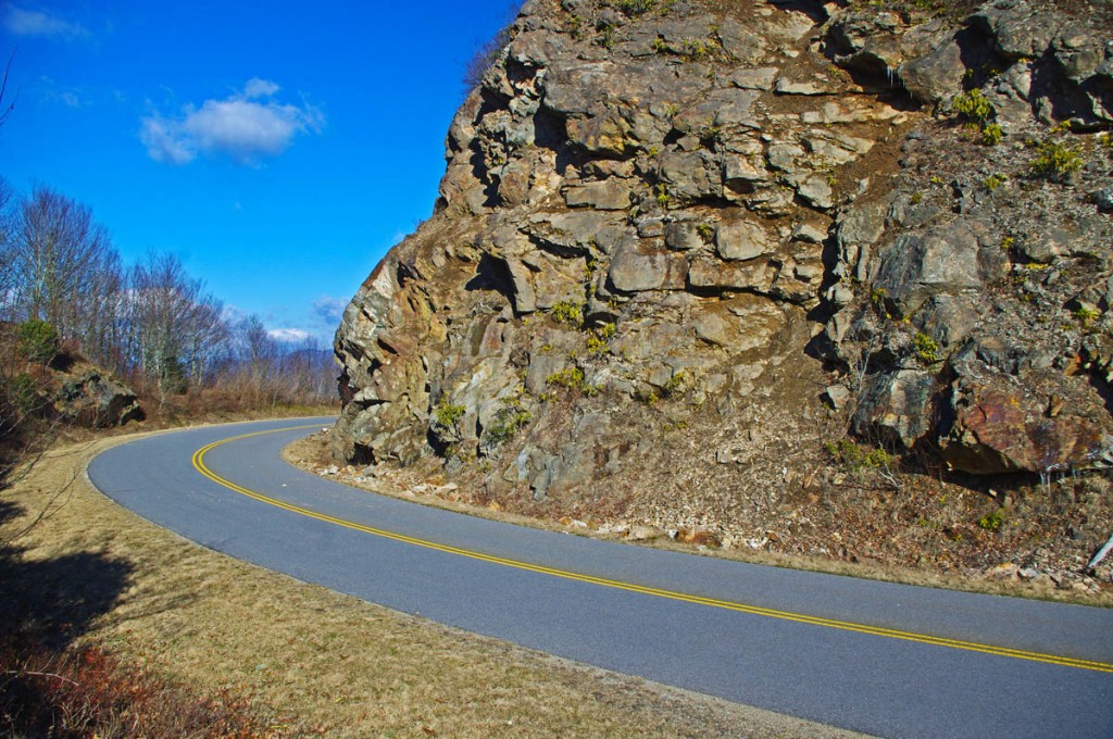
photo-rocky-section-along-blue-ridge-parkway

Rocky sections along the parkway are prone to slides

The National Park Service has done an outstanding job keeping the Blue Ridge Parkway open through the winter season as much as possible. I can’t remember spending as much time up there on my motorcycle, usually I’m on skis this time of year.

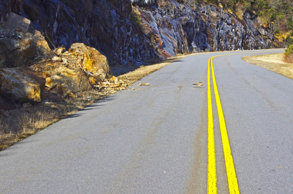
photo-rocky-section-along-blue-ridge-parkway

Rocks in the road are a common hazard

Warm and sunny days through this mild winter often find me pointing my wheels to the high country to take advantage of the nearly empty scenic road as it carves along the high ridge tops more than 5000 ft in elevation. Clear winter skies mean you can see into the surrounding states on the horizon, and the naked trees reveal what is hidden in the forested valleys spread out below.

photo-rocky-section-along-blue-ridge-parkway

If you see evidence of a large slide, be alert for the smaller ones which often follow.

Once darkness comes, the temperatures dive below freezing and sheets of ice build on the wet rock faces that line the roadway. As the sun warms them the next day, the ice melts and rains down along the roadside, and the repetitive freezing and melting cracks and loosens the rocks above causing small slides.

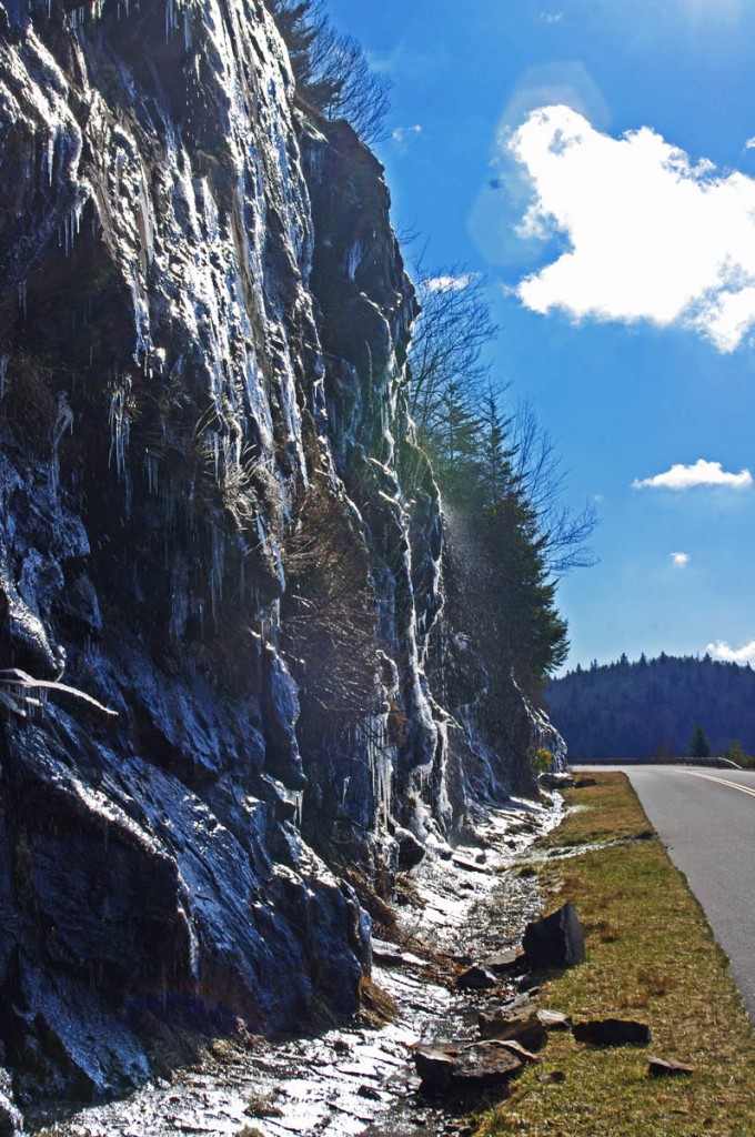
photo-rocky-section-along-blue-ridge-parkway

When the sun hits the rocks, the ice quickly melts and falls.

The park service is quick to remove the bigger slides as they occur and you’ll see the piles of rock pushed to the roadside. Throughout the day the process continues and it’s not uncommon to find rocks in the road when the road carves along the rocky cliffs.

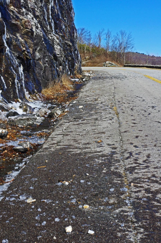
photo-rocky-section-along-blue-ridge-parkway

Rocks, ice, and water litter this section of the road

Be alert whenever you see exposed rock along the roadside, particularly when rounding shady curves. The road may be clear where the sun rarely reaches, but as you come into the sunny side there may be surprises in the road.

1 minute video shows how noisy and active the melting and falling ice can be. It’s worth a stop to watch the spectacle.

__________________________________________________________________

Wayne Busch

Wayne Busch - Cartographer

Total Rider Tech Logo

Learn Total Control

– Wayne Busch lives in Waynesville, NC, where he produces the most detailed and comprehensive and up-to-date motorcycle pocket maps of the Blue Ridge and Smoky Mountains to help you get the most of your vacation experience. See them here – AmericaRidesMaps.com

Wayne is an advanced motorcycle instructor for Total Rider Tech teaching Lee Parks Total Control Advanced Rider Courses. Isn’t it time you looked into advanced rider training to ride more confidently and safely? It can transform your mountain riding experience.  Total Rider Tech

____________________________________________________________________

Misleading Blue Ridge Parkway Sign should come down

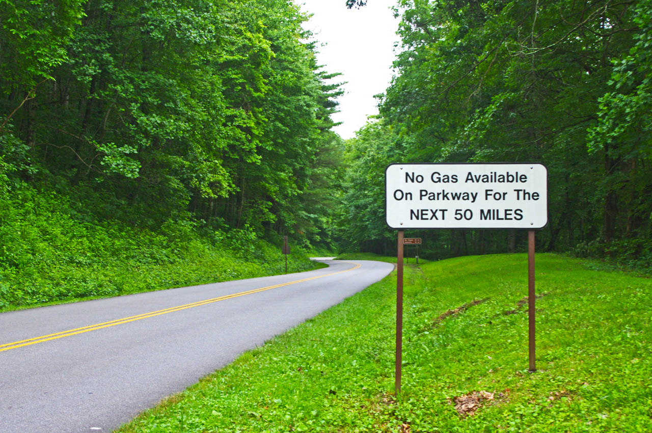
There was a time when the “No Gas for Next 50 Miles” sign at the US 74 exit on the Blue Ridge Parkway (MP 443.1) was an accurate warning, but it no longer serves the purpose.

photo-no-gas-sign-on-blue-ridge-parkway

This sign is a legacy to when gas was available on the Blue Ridge Parkway. It should now read "No gas next 400 miles". There is no gas on the Blue Ridge Parkway.

Years ago, there were gas stations on the Blue Ridge Parkway. This sign warns next gas was once available at the Pisgah Inn after a long lonely stretch with no convenient access to fuel. That’s no longer the case.

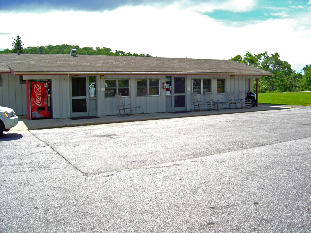
You’ll also see the remnants of a gas station at the Crabtree Meadows Visitor Center (MP 339.5).

Country-Store-at-Pisgah-Inn

The Country Store at the Pisgah Inn was once a gas station. Now it's just a break spot and service for the campground.

The Park Service removed the gas stations yeas ago. There is no longer gas available on the Blue Ridge Parkway nor are there any signs directing you to the location of the nearest gas at an exit.

The only place you’ll find a gas station visible from the Blue Ridge Parkway is at Raps’ Deli at Orchard Gap (MP 193.8) in southern Virginia.

With the limited range of motorcycles and long stretches of isolated road, knowing where the gas stations are is one of those things that takes a lot of the worry out of a Blue Ridge Parkway trip.

image-section-of-map

You'll find the closest gas to each Parkway exit listed on each of my Blue Ridge Parkway maps and descriptions of the best roads nearby.

It’s one of the most useful features I’ve included on my maps – closest gas to each exit along the 469 mile ride. Sometimes it’s just a few miles, other times it can be quite a distance. Knowing which way to go can keep you from getting stranded and help you make the best use of your time.

In keeping with the park service’s ethic of minimal signage, this legacy warning sign should be removed.

__________________________________________________________________

Wayne Busch

Wayne Busch - Cartographer

Total Rider Tech Logo

Learn Total Control

– Wayne Busch lives in Waynesville, NC, where he produces the most detailed and comprehensive and up-to-date motorcycle pocket maps of the Blue Ridge and Smoky Mountains to help you get the most of your vacation experience. See them here – AmericaRidesMaps.com

Wayne is an advanced motorcycle instructor for Total Rider Tech teaching Lee Parks Total Control Advanced Rider Courses. Isn’t it time you looked into advanced rider training to ride more confidently and safely? It can transform your mountain riding experience.  Total Rider Tech

____________________________________________________________________
100 Best Motorcycle Rides in the Smoky Mountains

Motorcycle Map – Best Motorcycle Rides in the Smoky Mountains

America Rides Maps announces its first large format motorcycle ride map. Available in 24 x 36 inch and 31 x 48 sizes.

Image of map the Best Motorcycle Rides in the Smoky Mountains

Image of map the Best Motorcycle Rides in the Smoky Mountains - B&W version. Click for a closer look at all the detail!

The only map of its kind, The Best Motorcycle Rides in the Smoky Mountains highlights more than 100 of the best motorcycle rides and more than 50 good connecting roads to tie them all together into endless loops and touring routes.

This map is produced in Black & White  so YOU CAN CUSTOMIZE IT to fit your needs. Use colored markers to highlight where you’ve been or lay out where you want to go.

Santa - great gift ideaPlaning your motorcycle vacation trip has never been easier!

Hang it on the wall to show all the places you’ve been on your motorcycle vacation tours.

Got a favorite place to stay in the Smokies? Discover all the hidden riding nearby. Make the best use of your riding time, ride on on all the best roads,  avoid traffic and congestion.

$24.99 price includes free shipping and handling – First Class US Mail – average 2-3 day delivery. Ships unfolded.

Read more and order here: 

 The Best Motorcycle Rides in the Smoky Mountains

http://shop.americaridesmaps.com/The-Great-Motorcycle-Rides-of-the-Smoky-Mountains-BW-NC023BW.htm

Curious? Need more info? Email info@americaridesmaps.com

_______________________________________________________________________________
Wayne Busch

Wayne Busch - Cartographer

– Wayne Busch lives in Waynesville, NC, where he produces the most detailed and comprehensive and up-to-date motorcycle pocket maps of the Blue Ridge and Smoky Mountains to help you get the most of your vacation experience. See them here – AmericaRidesMaps.com
 

Motorcycle Riders Enjoying Blue Ridge Parkway Fall Color

This year, I spent the peak of the leaf season riding my motorcycle on the Blue Ridge Parkway. I photographed the scenery and captured other riders on their motorcycle vacation as they roared past. I selected some of the better ones and a few video clips to share memories with those of you who made it this year and to show those of you who are coming next what they’ve missed out on.

Watch on YouTube http://youtu.be/fQEqdbrt1fI

_______________________________________________________________________________
Wayne Busch

Wayne Busch - Cartographer

Total Rider Tech Logo

Learn Total Control

– Wayne Busch lives in Waynesville, NC, where he produces the most detailed and comprehensive and up-to-date motorcycle pocket maps of the Blue Ridge and Smoky Mountains to help you get the most of your vacation experience. See them here – AmericaRidesMaps.com

Wayne is an advanced motorcycle instructor for Total Rider Tech teaching Lee Parks Total Control Advanced Rider Courses. It’s time you looked into advanced rider training to ride more confidently and safely, it will change your mountain riding experience. It worked so well for me I became an instructor! Total Rider Tech

_______________________________________________________________________________

Motorcycle the Blue Ridge Parkway – Peaks of Otter Lodge

Photo-Peaks-of-Otter-restaurant

The Lodge and Restaurant at Peaks of Otter

The Peaks of Otter Lodge and Restaurant located at milepost 86 on the Blue Ridge Parkway offers the motorcycle traveler a serene and beautiful setting in the Virginia mountains –

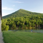
Photo-Peaks-of-Otter-across-lake

The setting is serene and relaxing

Jackie and I paid our first Blue Ridge Parkway motorcycle touring visit to the Peaks of Otter Lodge this past weekend and give it a good, though not outstanding recommendation. In some ways it outshines the other Blue Ridge Parkway lodges we’re familiar with, in others it falls just a little short.

Photo-view-from-room-at-Peaks-of-Otter-Lodge

View from our room

Like the other Blue Ridge Parkway lodges, it immerses you in a remote and isolated setting. The nearest town is Bedford, less than 10 miles distant. The city of Roanoke is 25 miles further south on the Blue Ridge Parkway. The climb to reach the Peaks of Otter on the Blue Ridge Parkway is one of the most beautiful stretches of heavy woodlands in the Jefferson National Forest with glimpses of the surrounding mountains, the piedmont to the east, and the Shenandoah Valley to the west from the occasional overlooks.

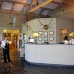
Photo-Peaks-of-Otter-lobby

The Lodge lobby is nice

There is a Blue Ridge Parkway Visitor Center nearby, a campground, hiking trails, historic sights, and a picnic area. Set on a  small lake in the bowl between two of the three peaks that give the area it’s name, the views on every horizon are stunning and often mirrored in the still waters of the alpine pond. A gentle trail offers a 20 minute walk around the lake to admire the hollow from all perspectives.

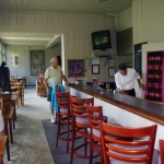
Photo-Peaks-of-Otter-bar

Extra points for having a nice bar

The Lodge does stand above the other parkway inns in it’s rich and welcoming appearance. The gift shop is attractive, and the bar is such a welcome touch after a hot days ride. The restaurant overlooks the lake with captivating, at times enchanting views of the natural panorama. Unfortunately the restaurant is where the Peaks of Otter Lodge fell short for us.

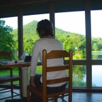
Photo-Peaks-of-Otter-Dining-view

Captivating views from the dining room

The food does not hold a candle to the that served at the Pisgah Inn, the Blue ridge Parkway Lodge south of Asheville, NC. Service was great, pleasant and attentive wait staff insured we got what we needed. The setting is outstanding with the views but the musak was some sad mix of nursing home dirge and “One Flew Over the Kukoo’s Nest” which distracted from the atmosphere. A place this nice deserves a chef, not a cook and a new set of CD’s for the player – please throw the Victrola in the deep part of the lake.

Photo-Peaks-of-Otter-lodging

Rooms are clean and comfortable

The facilities are well maintained and spotlessly clean. The grounds were  manicured with precision and care. The rooms were comfortable as were the beds, and quiet. It makes for a peaceful and relaxing stay.

Overall, a stay at the Peaks of Otter Lodge on the Blue Ridge Parkway is welcoming and relaxing on your motorcycle vacation. Taking the dining experience to the next level would make it outstanding.

ADD – I have one big request from the Park Service: It’s the 21st century, how about a little catch up? I don’t mind not having TV, it makes the rooms quiet and draws you out of them to embrace the natural experience and beauty. Cell service comes and goes with the breeze, and the wind rarely blows – you’ll be chucking quarters into the pay phone to reach the rest of civilization. Isn’t it time to embrace our new reality and offer a wireless network?

Other Reviews from Trip Advisor

_______________________________________________________________________________
Wayne Busch
Wayne Busch – Cartographer
– Wayne Busch lives in Waynesville, NC, where he produces the most detailed and comprehensive and up-to-date motorcycle pocket maps of the Blue Ridge and Smoky Mountains to help you get the most of your vacation experience. See them here – AmericaRidesMaps.com