Great Motorcycle Ride Rivals the Tail of the Dragon

You hear a lot of folks say “I know of roads better than the Tail of the Dragon, but I, like you, am often doubtful of such claims.

The Dragon at Deals Gap is pretty much the benchmark motorcycle ride to measure and compare to. There are darned good reasons the Tail of the Dragon is legendary. But what about those other roads?

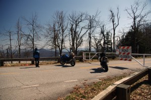
Photo - Start of ride on south end

This abandoned gas station/store on Banner Elk Highway (SR 194) alerts you to the start of the ride. The road is just beyond it.

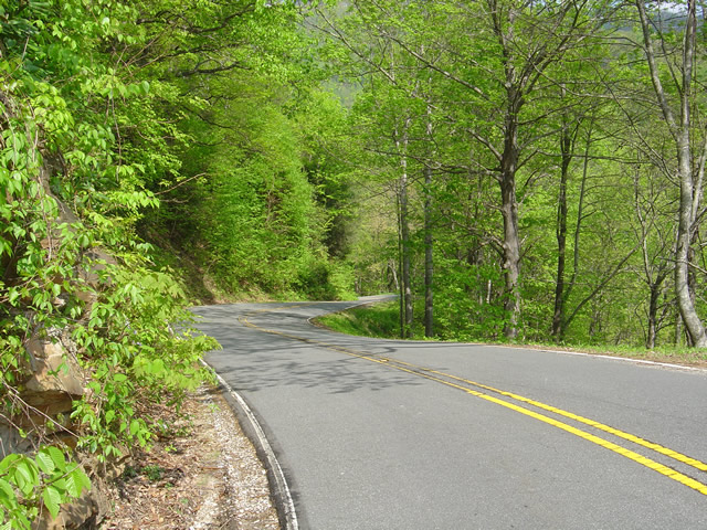
Here’s one I really enjoy, Beech Mountain / Flat Springs Road. I won’t claim it’s better than the Dragon, but it ranks right up there.

The pavement is not as good in places. There are connecting roads and driveways so you’ve got to ride alert, watch for gravel and sand at those connections and in tight turns. There are no motorcycle resorts at either end. Still, Beech Mountain Road is an excellent, challenging , and fun ride.

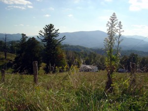
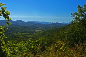
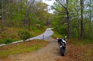
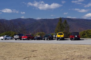
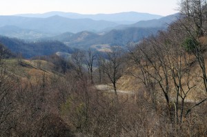
Photo - view from road

View of what I think is Roan Mountain. It's not the rare views that make Beech Mountain / Flat Springs Roads good, it's the ride.

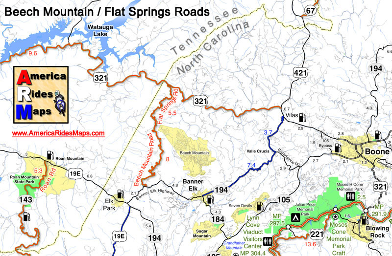
This great motorcycle ride is labeled as Beech Mountain Road on the south side of Beech Mountain, then becomes Flat Springs Road once you start descending the north side of the mountain.

Grades are steeper than the Dragon but generally mild. It’s a bit longer. Best of all it’s a road I use to bypass traffic and avoid going through large towns and the city of Boone.

I use it often when I’m headed up to Tennessee and Virginia to ride The Snake and the great roads nearby, and it’s also in the neighborhood of Roan Mountain and the Murder Mountain Ride. It’s a good one to know about and add to your list of great back roads.

Image - Map shows location of Beech Mountain Road

Beech Mountain / Flat Springs Road help you avoid all the traffic to the east.

So how does it stack up?

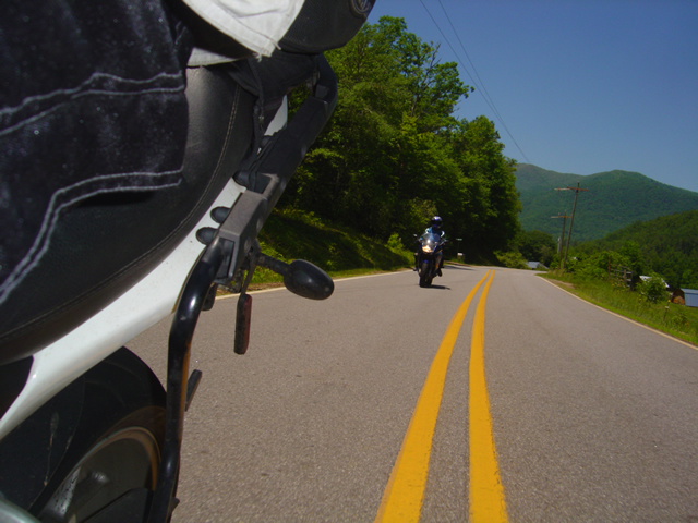
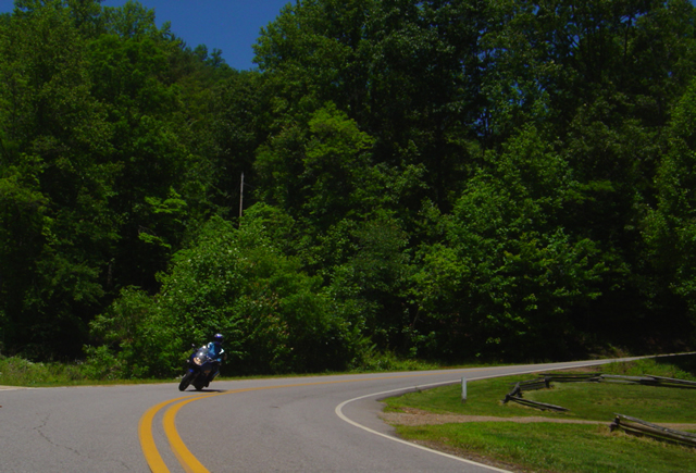
I was going through my video files one day and found two that were nearly identical. Same camera angle. Same bike. A complete ride through both roads. So I matched them up side by side to see how the roads compare in a contest. The outcome was surprising!


_______________________________________________________________________________

Wayne Busch

Wayne Busch - Cartographer

Total Rider Tech Logo

Learn Total Control

– Wayne Busch lives in Waynesville, NC, where he produces the most detailed and comprehensive and up-to-date motorcycle pocket maps of the Blue Ridge and Smoky Mountains to help you get the most of your vacation experience. See them here – AmericaRidesMaps.com

Wayne is an advanced motorcycle instructor for Total Rider Tech teaching Lee Parks Total Control Advanced Rider Courses. It’s time you looked into advanced rider training to ride more confidently and safely, it will change your mountain riding experience. It worked so well for me I became an instructor! Total Rider Tech

_______________________________________________________________________________

A Great North Carolina Motorcycle Ride near Franklin

Here’s a nice motorcycle ride west of Franklin, NC most riders never see. It’s easy to ride right past it onUS 64 between Franklin and Hayesville.

photo-view-west-from-us-64

West view from US 64 looking towards Hayesville, North Carolina.

US 64 has long been a favorite motorcycle ride as it makes a lazy climb through the mountains of the Nantahala National Forest. It’s a popular way to travel from Franklin to Murphy, or approach the great rides found just across the border in north Georgia.

Scenic US 64 is an easy motorcycle ride with gentle climbs and descents, the curves are broad and sweeping, the road wide and well maintained, and there are a couple nice overlooks.

photo-fall-view-us-64

US 64 is an easy ride, well maintained, wide and sweeping, but it can carry a good amount of traffic at times.


Near the middle of this section of US 64 you’ll find West Old Murphy Road winding into a mountain pass to the east. It’s a nice motorcycle ride that loops back to connect with US 64 closer to Franklin in 8.6 miles.

As much as I enjoy riding US 64, I don’t give it a top rating on my maps. US 64 is the primary east-west connector across the southern border of western North Carolina. Because of this, you’ll rarely have the road to yourself to enjoy. Local, commercial and tourist traffic use US 64 and chances are you’ll run in to at least a little of it.

West Old Murphy Road let’s you escape if you do get caught behind a string of slow traffic crawling up the grade.  If you’re looking for something more challenging and entertaining, you’ll find it on West Old Murphy Road.

photo-cemetary-w-old-murphy-rd

One of my favorite break spots, a small cemetery on W Old Murphy Rd.

This great motorcycle ride circles around the south side of the mountain US 64 skirts to the north. It’s devilishly twisty in places, the pavement is decent, and there are a few nice views though it’s another one of those roads you’ll be watching the  twisty pavement more than the pretty scenery.

West Old Murphy Road is easy to find at either end. Nearest Franklin, it’s near the point US 64 goes from two lanes to the four lane section  which circles south of the town. Near the mid point of US 64 look for signage on the east side of the road for Standing Indian campground in the National Forest.

Not far in from the mid point is one of my favorite spots for a quick break. You’ll see a pull-off near a small embankment. Atop the rise is an old graveyard. There are some good places to sit and enjoy the reverent solitude.

image-map-of-w-old-murphy-rd

You can see W Old Murphy Road is a twisty little bugger, but a lot of fun to ride.

_______________________________________________________________________________

Wayne Busch

Wayne Busch – Cartographer

Total Rider Tech Logo

Learn Total Control

– Wayne Busch lives in Waynesville, NC, where he produces the most detailed and comprehensive and up-to-date motorcycle pocket maps of the Blue Ridge and Smoky Mountains to help you get the most of your vacation experience. See them here – AmericaRidesMaps.com

Wayne is an advanced motorcycle instructor for Total Rider Tech teaching Lee Parks Total Control Advanced Rider Courses. It’s time you looked into advanced rider training to ride more confidently and safely, it will change your mountain riding experience. It worked so well for me I became an instructor! Total Rider Tech

_______________________________________________________________________________

West Old Murphy Road and many other roads in the surrounding area is found on America Rides Maps #7 – The Best Motorcycle Rides SOUTH of GSMNP
The start of it is also shown on America Rides Maps  – Map #9 – The Best Rides in the North Georgia Mountains


First Day of Winter – Let’s Ride the Blue Ridge Parkway!

So here it is, winter is officially upon us today and I spent the best of it on my motorcycle on the Blue Ridge Parkway.

I couldn’t stand it any longer. It was so warm when I took the dog out this morning I knew I was going to HAVE to get on the bike. The weatherman says rain is coming to the Smoky Mountains so I knew I’d need an early start.

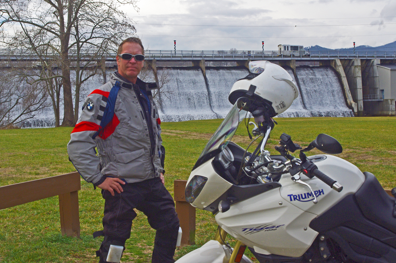
photo-wayne-at-lake-junaluska-dam

I would have settled for a nice short ride - (if you believe that, you don't know me very well)

“Just a short ride” I told my wife.

If nothing else I’d top up the near-empty tank and make a short spin of it. Thinking of someplace close I could get a photo, I headed to the dam at Lake Junaluska. Sure looked like rain was coming. Got my photo, then where?

It’s been so unusually warm lately, I decided to ride over to Maggie Valley and see if the Blue Ridge Parkway was open. Slim chance of it, but just maybe….

Photo-Wayne-celebrates-at Waterrock-Knob

Made it to Waterrock Knob! Enveloped in clouds, raining, but totally unexpected at this time of year. That would have been enough for most riders - it just goaded me to push on.

Passing the man made snow at Tony’s Tube World as I left the valley, I started to consider alternatives. If snow could linger down low, it would sure be too cold up high for the parkway to be open. If it wasn’t, I could always cruise over to Cherokee.

I turned onto the ramp to the Blue Ridge Parkway at Soco Gap, and sure enough, the gates towards Cherokee were closed when I reached the top. Oh well.

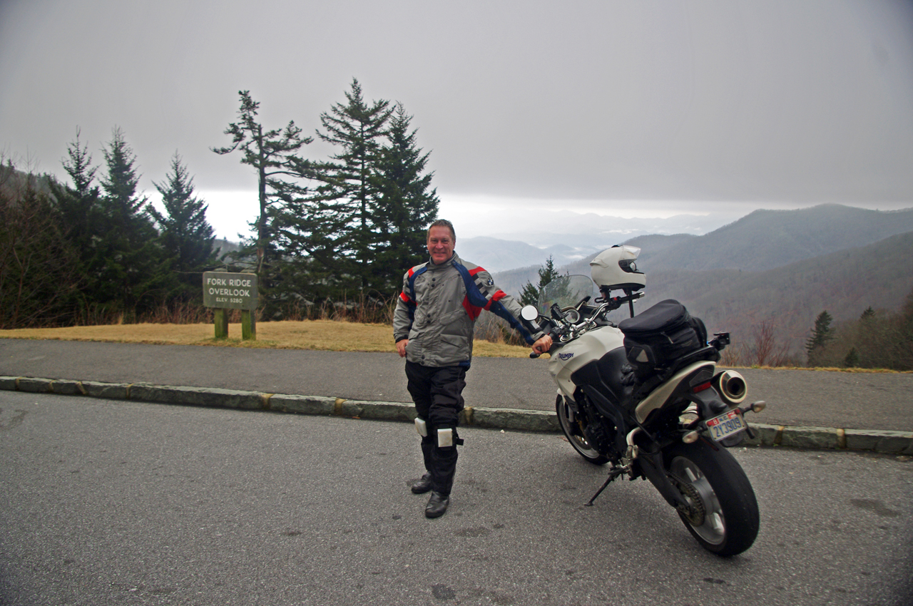
motorcycle-at-fork-ridge-overlook-1st-day-of-winter

I stopped for a photo when I came down to the mile-high Fork Ridge overlook. You can see the cloud ceiling a few hundred feet above me and the clouds in the valleys below.

As long as I was here, might as well ride over to see if the gates were closed heading south though the chances were even slimmer as the parkway climbs to some of the highest parts in that direction.

Surprise, surprise, the gates were open and I rolled on the throttle!

I didn’t think I’d get far, but I might at least get a photo from one of the lower overlooks. As I climbed, I came nearer and nearer to the cloud bank that socked in the mountain tops. Still, the road was clear.

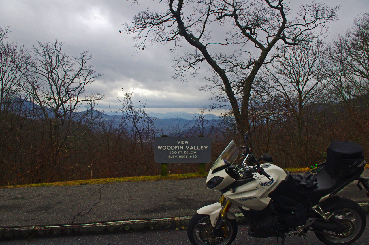
Photo-first-day-of-winter-on-blue-ridge-parkway

It was a good day for riding so long as you stayed down low. At 4000 feet, the Woodfin Valley overlook shows it's fine at the lower elevations. I couldn't resist going higher.

I was stoked when I reached Waterrock Knob. Totally enveloped in thick clouds and peppering light rain, I stopped for another photo. This was awesome and a rare occasion this far into the cold season.

I was happy as I continued towards the next exit at US 74 in Waynesville, dropping back below the ceiling of clouds and out of the rain.

I almost left the parkway at Waynesville (see my video of Waynesville), as the next section of the Blue Ridge Parkway leads to the highest point on the road. No way it would be open. Still, I was curious as to how far I would get and amazed to find the gates open as I crossed over the highway.

photo-wayne-rides-his-motorcycle-to-the highest-point-on-the-parkway

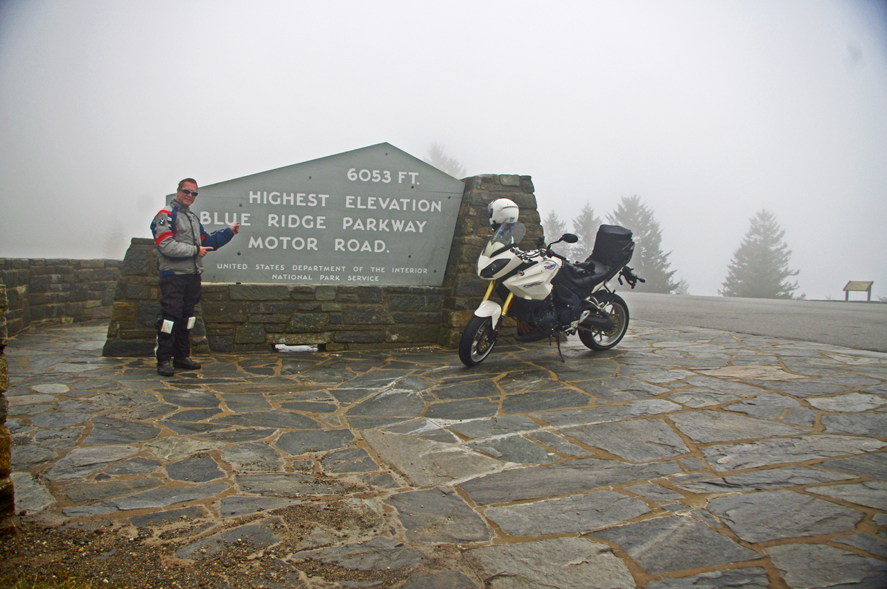
Can't believe it! I rode to the highest point on the Blue Ridge Parkway on the first day of winter. Same day last year we got a snow that covered the yard until well into march.

I began climbing again, and before long was back in the wet cloud bank. Except for a few stray cars, I had the road to myself and enjoyed it with enthusiasm.

It was windy and poor visibility when I reached the high point, but it was another unexpected treat. Took another photo to remember it by.

I rode the rest of the way to Beech Gap and NC 215 in heavy wet fog (here’s a wicked ride nearby). No views to speak of, and lots of rocks and debris from the small slides that occur where rocky faces run close to the road. Winter thaws and freezes cause a lot of little slides during this season but it’s not much of a problem as no one is there to be affected by them.

photo-fall-on-nc215-great-motorcycle-ride

Road condition has improved marginally since this fall photo of NC 215 following the resurfacing. Still plenty of loose gravel and slippery corners to negotiate. Not for the faint-of-heart. It will improve, but how much?

The ride home via NC 215 (see my video of NC 215)is unchanged from my last visit – the road is till a mess. If riding sharp turns on loose gravel isn’t your thing, you will want to avoid it a while longer until things clean up.

Same day last year, we got snow so deep it laid in my yard for 3 months. This year I’m riding. I think I like this year better!

_______________________________________________________________________________

Wayne Busch

Wayne Busch - Cartographer

Total Rider Tech Logo

Learn Total Control

– Wayne Busch lives in Waynesville, NC, where he produces the most detailed and comprehensive and up-to-date motorcycle pocket maps of the Blue Ridge and Smoky Mountains to help you get the most of your vacation experience. See them here – AmericaRidesMaps.com

Wayne is an advanced motorcycle instructor for Total Rider Tech teaching Lee Parks Total Control Advanced Rider Courses. It’s time you looked into advanced rider training to ride more confidently and safely, it will change your mountain riding experience. It worked so well for me I became an instructor! Total Rider Tech

_______________________________________________________________________________

Motorcycling in the Land of the Waterfalls – Shouldn’t You be in these Photos?

Photo - Soco Road Exit Blue Ridge Parkway

We started from the Soco Rd Exit (US 19) on the Blue Ridge Parkway @ MP 455.7

Absolutely gorgeous weather over the holiday weekend did not go to waste. We took advantage of the opportunity to enjoy riding a “tourist” loop we typically avoid. While the good folks were in church, we knew the traffic would be light and the timing would be right to get out for a Smoky Mountain motorcycle ride that would take us by some of the best scenery the area has to offer and a trip through the Land of the Waterfalls.

Photo - Museum of the Cherokee Indian

Museum of the Cherokee Indian

We made our way to Maggie Valley and started the loop from the Soco Gap exit on the Blue Ridge Parkway at MP 455.7. Careening down through the curves towards Cherokee, we had the road to ourselves and got the rare chance to enjoy this twisty section of two lane which is normally crowded with travelers and commuters.

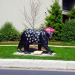
Photo - Bear in Cherokee

Cherokee is full of these bears

Cherokee was quiet as we sneaked into town for a quick photo then continued on US 19 into Bryson City on the south side of Great Smoky Mountains National Park.  On Easter Sunday, the trains of the Great Smoky Mountain Railroad sat in reverence as we passed through the back side of town to check out a road I’d been curious about – (I never stop looking for new roads for America Rides Maps).

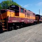
Photo - Great Smoky Mountains Railway Train

Great Smoky Mountains Railroad train in Bryson City

After 10 minutes on the Great Smoky Mountains Expressway (US 74 /19/23/28), we forked south into the Nantahala Gorge and paused for a break at the Nantahala Outdoor Center on the river.  From now on, this beautiful road which follows the course of one of the most popular whitewater rivers in the east will be filled with lumbering buses hauling rafters and kayakers upstream for the chilly and thrilly ride through the rapids. Thanks to the holiday, there was no commercial traffic, though plenty of others were here to enjoy the hiking, biking, and other pursuits in this hub of outdoor activity.

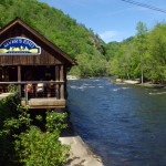
Photo - Rivers End Restaurant

The Rivers End Restaurant sits on the Natahala River at NOC.

Enduring 10 miles of relatively light traffic, we turned off for the climb over Wayah Bald. Snaking up along the cascading river, we passed fishermen gracefully floating their flies in the quiet pools beneath the numerous falls, then paused for a picnic lunch on the shore of crystal clear alpine Nantahala Lake.

Photo - motorcycle on Wayah Road

Jackie cruises Wayah Road

The ride across the top of the mountain is more challenging than it is scenic filled with curves and twists that attract riders to this favorite motorcycle route. Easing down through the hairpin curves on the back side of the hump, the road traces the course of another stream which builds to flow into the Little Tennessee River once you reach Franklin.  We passed through town then headed south again on US 64 / NC 28 to enter the Cullasaja River Gorge.

Waterfall along Wayah Road

The ride along the river on Wayah Road is spectacular!

It looked like our luck was changing as we found ourselves behind several cars, but each peeled off on side roads before we reached the outstanding curves that carve through the rugged canyon and we actually got to enjoy the ride at speed. That is a rare treat and we appreciated it. Good rains this spring have the waterfalls roaring and they were spectacular.

Photo - motorcycles at Nantahala Lake

Picnic lunch at alpine Nantahala Lake

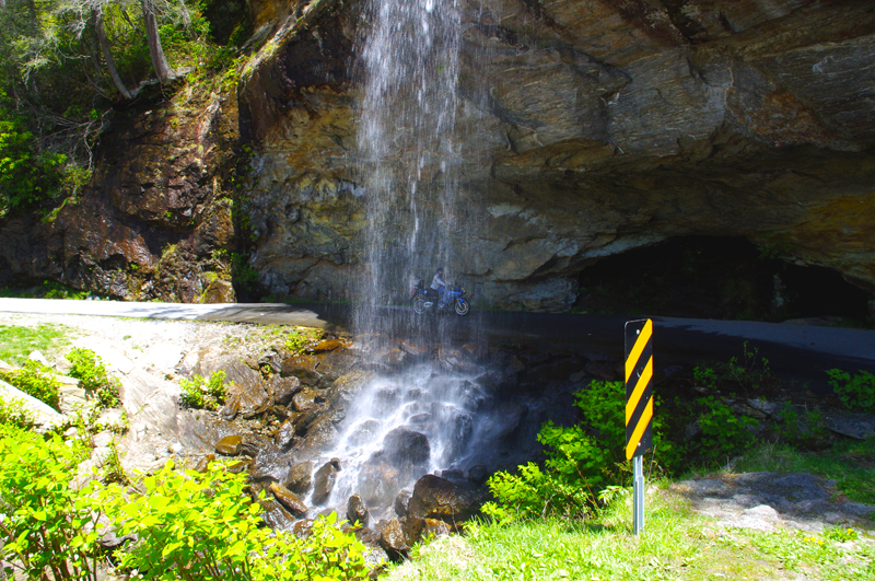
There are four easy to spot major waterfalls along this stretch of US 64 leading into Highlands, Cullasaja Falls (the largest), Dry Falls, Quarry Falls, and delicate Bridal Veil Falls. We stopped for a unique photo at Bridal Veil Falls where a small paved loop runs behind the cascade.

Photo - Cullasaja Falls

Cullasaja Falls on US 64 / NC 28

The remainder of the ride on US 64 is outstanding for scenery but by mid afternoon the tourist traffic was picking up and we did not always get to exploit the wonderful curves as much as we would have liked. The horizons are flanked with glimpses of the highest naked cliffs in North Carolina, some more than 1000 feet tall, and you cruise through some of the most expensive real estate in the country.

We completed the loop by heading north again on US 215 from Rosman climbing to reach the highest section of the Blue Ridge Parkway on a freshly paved road that snakes through outstanding turns and scenery that make it one of the locals favorite rides.

Photo - Motorcycle behind Bridal Veil Falls

Jackie poses for a photo on her motorcycle behind Bridal Veil Falls just outside Highlands, NC on US 64 / NC 28. How cool is that?

Click on photos for larger view

_______________________________________________________________________________

Wayne Busch
Wayne Busch – Cartographer
– Wayne Busch lives in Waynesville, NC, where he produces the most detailed and comprehensive and up-to-date motorcycle pocket maps of the Blue Ridge and Smoky Mountains to help you get the most of your vacation experience. See them here – AmericaRidesMaps.com 

Blue Ridge Parkway Opens Soon, Smoky Mountain Motorcycles Everywhere!

Motorcycle the Blue Ridge Parkway

We parked our motorcycles at the Blue Ridge Parkway gates at Wagon Road Gap. It wasn't open today, but it will be soon.

I knew before we reached the top of the climb the gates to the Blue Ridge Parkway would be closed. The fresh layer of road salt as we glided through the last of the hairpin curves on our motorcycle ride up US 276 south of Waynesville, North Carolina, were evidence of the lingering snow I’d seen on the mountainsides last night. Thin sheets of ice on the roadside rock faces reminded me just how different the world is when you climb up high where the Blue Ridge Parkway crowns the ridge tops.

Photo - waterfall along Buck Springs Trail

Many come to enjoy the hiking nearby. One of several small cascades the Buck Springs Trail shares on it's 6 mile run to the Pisgah Inn.

In the midday warmth, the dusting of white had vanished, but it was not long gone. We found the gates closed at Wagon Road Gap, but a nearly full parking lot at the Cold Mountain overlook proved we were not the only ones who were eager to enjoy the emergence of spring via the nations most popular motorcycle ride.

Photo - Blue Ridge PArkway overlook - Cold Mountain

Cold Mountain Overlook at Wagon Road Gap, Blue Ridge Parkway - Even with the parkway closed, plenty came out to enjoy the hiking, the scenery, and the warm weather on such a nice day.

Photo - Jackie on her Beemer

Come on, Let's Go ! This is great!

It’s early for the Blue Ridge Parkway to be open to traffic at the south end. This is the highest, and in my opinion, the best section of the entire 469 mile motorcycle ride.  If you see just one piece of the Blue Ridge Parkway on your motorcycle vacation, this should be it, the section from Asheville to the south end of the parkway at Great Smoky Mountains National Park near Cherokee. Because it’s the highest section, it’s usually the last to open for the start of the spring season.

The number of outstanding roads that surround and connect to the Blue Ridge Parkway in this area is enough to keep you busy for a season and then some. It was just one stop on a great day of motorcycle rides that followed.  I think we passed more bikes then cars on our ride. If you had a motorcycle, you were out to enjoy it today.

Photo - view from Crabtree Mountain Road

A view from Crabtree Mountain Road north of Canton. You can see a portion of it as it snakes it's way through the pass. Soon, this will all be green and spring flowers.

We doubled back via US 276 then cruised through Canton and headed north on Crabtree Mountain Road. I’d forgotten what a steep climb it was and how tight the switchback  curves are that bring you to the nice overlook at the top of the mountain pass. Up one side, down the other, then follow the serpentine path of the stream that flows through the valley. On to NC 209, out to Hot Springs, then hop from one great motorcycle ride to the next until you’ve had your fill.

Photo - view form blue ridge parkway overlook

Before long, everything will be green and flowers!

It won’t be long until weather like this will be what we expect every day in the Smoky Mountains. The fields are already turning green. The first tiny leaves are emerging on the brush. Buds are fat and swelling almost ready to burst on the trees. Soon, the hillsides will explode with color as all that pent up winter energy is freed. From what I’ve seen so far, the motorcycles are ready for it. Are you?

_______________________________________________________________________________

Wayne Busch
Wayne Busch – Cartographer
– Wayne Busch lives in Waynesville, NC, where he produces the most detailed and comprehensive and up-to-date motorcycle pocket maps of the Blue Ridge and Smoky Mountains to help you get the most of your vacation experience. See them here – AmericaRidesMaps.com 

The Most Challenging Motorcycle Ride Found? A day with the map guy.

I am either;

  1. Getting too old and out of shape
  2. Coming down with the flu
  3. Rode harder than I have in a long time

It’s probably a combination of the first point and the last. I awoke last night sore from the chest down due to throwing my bike around all day in my never ending quest to discover the best motorcycle rides in the Smoky Mountains. It was not planned to be such a day but it turned out to be quite an adventure.

I set out around 8AM for Shady Valley, Tennessee, home of “the Snake” motorcycle ride to make a delivery of motorcycle maps to the Shady Valley Country Store. Plan was to ride up, enjoy the Snake, make the delivery, then check out half a dozen roads nearby in hopes to add some to my motorcycle pocket maps. I knew one would just be a connector route. I didn’t have high hopes for many of the others, though a couple held promise.

It was beautiful and cool up on the Blue Ridge Parkway in the morning. Skies were clear and bright. Even the half hour on Interstate 40 to Asheville was pleasant. There’s little traffic before 10AM once you leave the highway and I pretty much had the road to myself. I watched hopefully for bears north of the city, then enjoyed the run up the wonderful new sections of pavement to pass Mt. Mitchell. Looks like they’ve pretty much wrapped that job up. Saw one grouse, a few hawks, but no bruins.
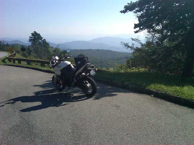
Photo - on the Blue Ridge Parkway

Clear, cool, breezy morning on the Blue Ridge Parkway near Altapass.

I stopped to tweet my first photo at an overlook where I could count on cell phone reception. Though hurricane Earl was approaching the coast, here in the mountains no impact was expected. Even so it was noticeably breezy.

I hit one brief delay for tree work, and another for guardrail replacement. I surprised a flock of turkeys as I came near Little Switzerland. Passing Linville, I left the Blue Ridge Parkway at Roseborugh Road, one of those handy unmarked crossroads that descends through a series of tight turns to NC 105 at Grandfather Mountain. NC 105 took me north through the congestion of Banner Elk. Broadstone Road led me west of Boone to Valle Crucis. NC 194 led to US 421 which I followed through Mountain City and into Tennessee to reach Shady Valley.

A brief pit stop turned into a decent delay as I took time to chat with several riders, mostly locals, and return phone calls when the intermittent cell reception cooperated. I figured it would take a couple hours to see the roads I wanted, then I’d zip back home as I came.

Photo - Shady Valley Country Store

The sun was still shining at the Shady Valley Country Store though the winds were getting gusty. Things would change as the afternoon wore on.

The first few roads proved less than expected. They were a decent ride for a cruiser maybe, though it was not type of rural scenery that makes a road interesting. I explored another after a couple bikes passed in the opposite direction to find it intersected the fourth road at an unknown point. Still nothing special. I turned to backtrack on the fourth road so I would be sure to ride it end to end and was thrilled to find the short leg wonderful. Nice sweeping turns through pretty countryside. Hopeful, I spun about at the intersection with 197 and headed back. The remainder disappointed. Too much straight and only mildly interesting. It was worth adding to the map but not recommending highly. The natural flow dictated I bypass the next on the list meaning another backtrack to explore the better alternative.

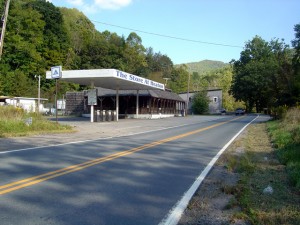
The last of the most promising roads was accessed from US 321 near Watauga Lake. It was tight, it was twisty, but it didn’t appeal. It was then that serendipity  struck. Rather than continue on my planned path, instinct told me to detour onto another road. I followed it through turn after turn after turn and it went on and on and on. All the while I expected it would peter out  into a goat trail but it just kept going without letting up. Mile after mile on narrow, sometimes poor, blacktop it climbed through the mountains finally dumping me out at Banner Elk Highway. I pulled into an abandoned gas station to take my notes and decide how to describe it.

I kept asking myself, “But was it fun?” There was no doubt it was challenging, very challenging. It kept you on the edge the whole time. It never let up. I ride the Dragon routinely and this road is much more difficult and sustained. I’d come up on some traffic and had to simply ride behind it, no room to pass, so I didn’t feel I could give it an accurate evaluation. Nor was I sure what lay at the other end. Only choice was to ride it back and see where it came out.

As I turned about my heart sank. A school bus turned onto the road ahead of me. While it looked empty, this would still be an exercise in pain as it could only crawl through the narrow serpentine climb ahead. What a relief when it pulled off within a few hundred feet. It wasn’t long before I had my answer. This road WAS fun.

Unimpeded I rode it enthusiastically back as I’d come. A few miles in I remember thinking, “If you get out of second gear on this road, look down – you’re riding a moped”. I reached the point where I’d first turned on to it and continued past. The road name changed, but its character did not. I continued mile after mile carving through the exquisitely tight turns, dodging gravel patches, potholes, and debris now falling on the road from the increasing wind. I was so happy when US 321 appeared at the margin of the screen on the GPS. I’d found a new way to link a couple major roads. Awesome.

That ride was worth the trip. I stopped and entered the notes in my Blackberry. From there I turned onto US 321 to head on to check out the last couple roads. The weather was deteriorating. Skies dark, winds gusting, it didn’t bother me a bit. Shortly, I came up on another biker who suddenly veered off on another road back in the area where I’d just been riding. I circled back out of curiosity to see what business this cruiser guy had in such a rugged area. The road he chose was a superb cruiser road and I caught up to him just as he pulled into his yard at the junction with the first great road. Bonus! Instinct paid off again.

I returned to US 321 via the cruiser road to make time. It was getting late and the weather would soon add more to the challenge of these tight roads. After a short ride on US 321, I started down the last of them which turned out to be a disappointment. A few miles in I spied a road connecting to it I felt needed exploring and eventually found a better approach though I did waste a good bit of time on dead ends and gravel lanes. Plan was to take this road a few miles, then turn onto another to make my way back towards Mountain City. As I approached the turn, instinct took over again and I purposefully rode past it.

The GPS showed the road I was on getting tighter and twistier and it was climbing higher into the mountains. Thats usually a pretty good indication it’s going to deteriorate to nothing once it nears the top and the road grew narrower and more challenging as it went on. I considered just giving up on it, but something made me go on. The smell of fresh rain on a dry road filled the air and I started hitting dark patches of pavement. I was really questioning myself when I emerged  atop a pass with a rugged valley stretched below and signs warning of a steep descent and switchbacks appeared. It would have been beautiful in nicer weather, but the dark and angry clouds only hastened my urgency to continue on, dreading the thought of having to retrace my steps.

I’ve ridden a lot of miles in the mountains yet never seen switchbacks as tight as these. I plunged down through the valley wondering where I’d end up, hoping I’d find some landmark to steer me back to something familiar. When the road ended, I looked at the sign ahead to see I was on the road I’d meant to explore next. Another great ride found, and I was ready to wrap things up after this last road.

It was longer then I thought and I reached US 421 south of Mountain City. It was now 5 PM. Rain was coming down in sheets. I turned south towards Boone. The Friday evening traffic before the holiday weekend crawled and stalled in the rain. I dreaded the idea of going into Boone and  veered off on 194 to bypass it. More traffic. I stopped near Banner Elk to top off the tank and called home to let my wife know I wouldn’t be there for dinner. We discussed the weather, the traffic, and decided I’d prefer the exposure to the elements on the Blue Ridge Parkway over the hazards of this crazy traffic. It was the right choice. The rain let up once I got up high.

I coursed through the mountains in the twilight relatively unimpeded. It got cold but I made good time. Reaching Asheville, I merged into the traffic jam that clogged Interstate 40 all the way home. Arriving in my driveway as darkness fell, I’d had a successful day. I’d discovered some great roads. I had reason to go back with hopes of more. I had money in my pocket. Sometimes, a cartographers life is to be envied. I wish I had more photos, but I got swept up in the riding. Maybe next time.

wayne@americaridesmaps.com

America Rides Maps – from north Georgia to north Virginia, the best motorcycle rides

_______________________________________________________________________________

Wayne Busch

Wayne Busch - Cartographer


– Wayne Busch lives in Waynesville, NC, where he produces the most detailed and comprehensive and up-to-date motorcycle pocket maps of the Blue Ridge and Smoky Mountains to help you get the most of your vacation experience. See them here – AmericaRidesMaps.com
 

A Good Tip Leads to More Great Motorcycle Rides Near the Dragon

Droning west on the Great Smoky Mountains Expressway this morning, my mind tends to wander. The greatest challenge of the highway is simply maintaining the legal limit leaving plenty of brain cells free to engage in other things. My wife rides alongside on her Beemer so I have something to look at every once and a while and count my blessings of how fortunate I am to have someone like her to come along with me today. The thought that comes to the forefront is “Just how many motorcycles are there on the road?”

It was far easier to snap a photo on the rare straight stretches - overall the roads were wonderfully curvy.

As the main artery between the Blue Ridge Parkway and the Dragon at Deals Gap, it’s no wonder there are a lot of motorcycle riders on this stretch of highway 23 / 74. Both the Parkway and the Dragon draw millions of two wheeled vacationers to the area every year. Still, we’re a good bit east of Cherokee, the southern endpoint of the Blue Ridge Parkway, and within minutes we’ve passed scores of bikes headed in the opposite direction.

Photo-motorcycle-follows-nice-views

The roads we explored followed winding streams and creeks through rolling farm lands in a broad mountain valley. Plenty of great long range views.

We’re only going as far as NC 28 south today, about 45 minutes ride time to reach Lauada, and early on I wonder if we’ll pass 100 riders. I start to keep a loose count, but within 20 minutes or so it’s obvious the number will easily exceed that, and question answered, my mind drifts to other things. Turning off the highway onto two lane NC 28 we plunge south into the twisties and the bikes keep sweeping past us in the other direction.

Photo - Jackie rounds a curve

The pavement is generally excellent for back roads, and you can enjoy the ride with gusto. Just be wary for a little gravel now and then.

I’m following up on a tip from Brad at the Deals Gap Motorcycle Resort. I spent some time with him Friday and he suggested I revisit an area I’d previously sketched over. I knew there were a couple of nice rides hidden away around Franklin, but he hinted they could be linked together to make a nice route. I’d done some scouting on the way home that day, and I saw promise. Today was the day we’d put it all together and see if it added up to getting a place on my America Rides Maps.
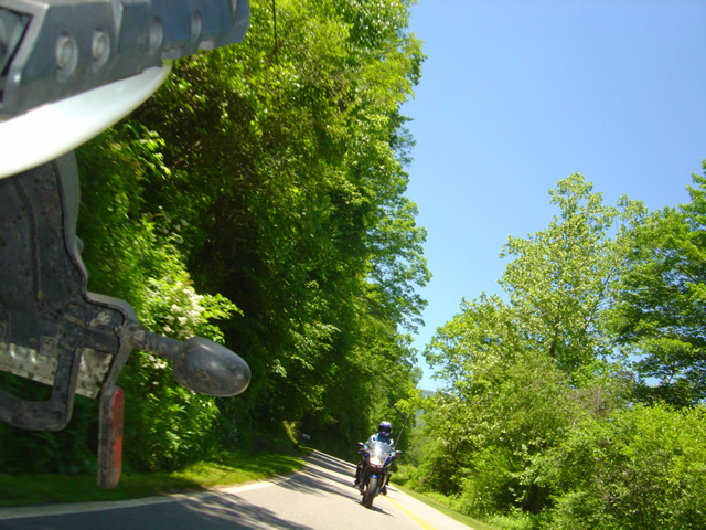
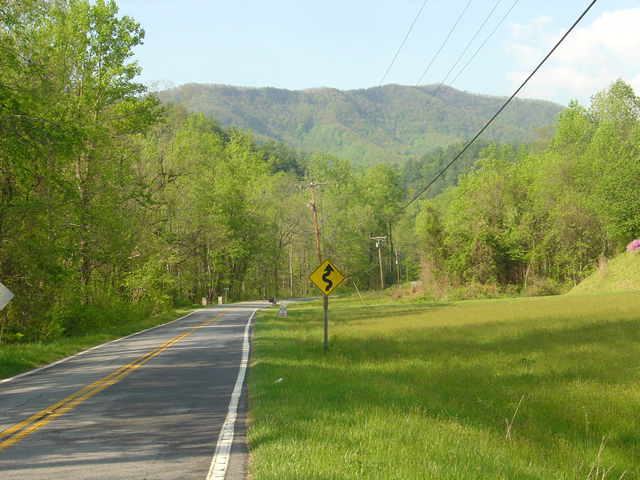
Photo - Jackie leads

The only traffic we found was when we approached the main road. If you stick to the perimeter route you'll see very little if any and it's more curvy and fun.

It took about four hours for a thorough assessment. We checked out every one of the roads in the area, confirmed the unpaved areas remained so (I only focus on paved roads), the dead ends were still dead, and the links that joined the roads together followed a more or less natural flow or the turn points were easy enough to locate. When we completed our task, I had assembled an outstanding ride that will certainly be the next addition to America Rides Maps. I’ll add it tomorrow morning.

Photo - a day meant for riding a motorcycle

I highly recommend NC 28. These roads make it even better. Great to know when there's traffic. You can jump off and enjoy the ride again.

I make a claim to know almost every great motorcycle ride from North Georgia to North Virginia. While I can’t claim I know them all, I’ve just learned another, and we saw only one other bike the whole time we were exploring the area. Now that’s what I’m looking for.

America Rides Maps

Another Great Motorcycle Ride to be Added to the List – My Secret

It’s not all that frequently I miss a great motorcycle ride in my explorations. I really try to be thorough as well as intuitive, so few slip by. Still, I can’t claim to know ALL the great roads in the southern Appalachians, just the vast majority of them. I continue to find more, and quite embarrassingly, they are too often close to home. Everyone believes they know ALL the great roads right in their back yard. Time and again I am proven wrong, and that’s not such a bad thing.

Stop reading now if you think I am giving this one away. No photos, no road names, nada. I just gave away 30 routes at the Asheville Bikefest for free and people gobbled them up. Nor is this a post about the Asheville Bikefest, I think you may be getting sick of hearing about that, but be cautioned, there will be more to come. The event was far more successful than expected and stuff is flooding in. The only reason I mention the event is because I found this great road because of it.

As Route Master for the Asheville Bikefest (there I go again, last time) I spoke with countless people helping them find the best rides in the area and getting them to see the most in the time they had. When you’re passionate about something, even work becomes fun. I went almost non-stop for four days and I had a great time. That’s why I founded America Rides Maps.

So anyway, this guy wants me to direct him to one of the two dozen local roadside waterfalls, which I do, so he can get of picture of his bike behind it. Yeah, you can actually drive behind this waterfall right off the road. He didn’t find it. Why, I don’t know, it’s one of the most obvious roadside waterfalls there is but that doesn’t matter. What matters is this guy doesn’t give up. He gets directions which lead him off into the forest. He rides and rides everything in sight, exploring places I know better than to go. He never finds it.

The next day he comes back to me and tells me he couldn’t find the waterfall. I’m a bit incredulous, it’s so easy. I redirect him. He relates his adventures and tells me he found this awesome motorcycle ride. I’m dubious. If he couldn’t find the easy waterfall do I believe him now? I made a mental note of it nonetheless. About an hour later I’m talking to a couple of women. They’re buying maps of the areas closest to them (we all think we know our own back yard), right down the street from the “event which will not be named again in this post. Out of curiosity, I ask if they know of this road the guy mentioned. “I live on that road, it’s great!”

So I can’t resist. Today I have to check it out. It rocks. Who cares how or why I missed it.   I’ll add it to the “The Best Roads South of Great Smoky Mountains State Park – EAST” map tomorrow. The other routes in the area I’d previously identified were detours around a congested town and a four lane section of road which formed one leg of a 100 mile+ triangle of superb riding. Now I think I’m looking forward to the detour more than the great rides that lead to it.

I have some more leads to follow up. I know some will be disappointing. I think I’ve done at least one and rejected it, my standards are high, but you never know. I’d be very pleased to find another jewel.

Some Photos of the Diamondback Motorcycle Ride

Sorry there are no great shots of bikes tearing it up on this great motorcycle ride, but it was early in the morning and I was alone. I missed the couple bikes that did pass and fortunately the early morning turkeys strolling up the road.

Photo-Start-of-the-ride

While you’ve already hit some curvy sections on NC 226, once you get on the Diamondback NC 226A, the traffic disappears. The sign hints at what’s ahead.

The photo (above) gives you an idea of where you start from relative to where you are going – up on those smoky mountains in the background. There’s a good trout stream along this section if you’re packing the fly rod, and some nice places to stop and cool your feet in the frigid waters.

Photo-section-of-the-Diamondback

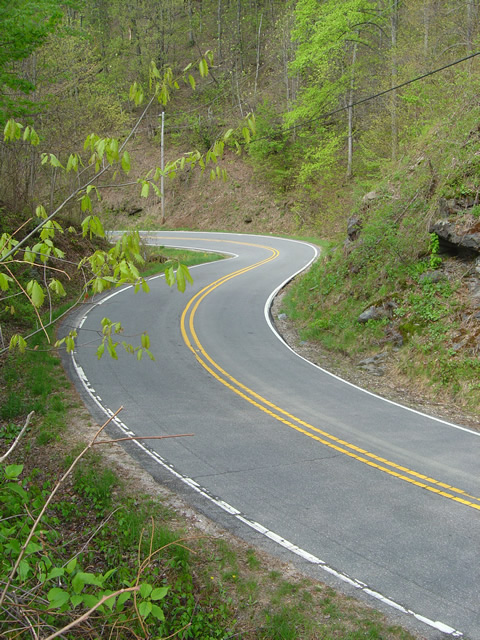
Once you start climbing, the road begins a series of turns and switchbacks that grow tighter as you gain height.

This ride will appeal to both the cruiser and the sports bike rider. You can take a leisurely approach and simply enjoy it, or you can attack it with vigor and challenge yourself. There are a few short and relatively straight sections between the curves, but they are not long enough to get you into too much trouble if you keep a lid on your enthusiasm.

Photo-section-of-the-Daimondback

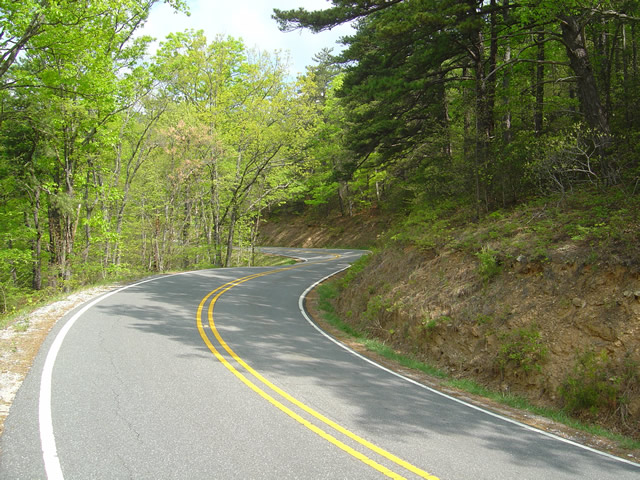
As you get higher and higher, the road looks more and more like this. One curve after another, the occasional hairpin switchback to keep you on your toes.

Once you reach the highest sections, you’ll want to be wary. No guardrails, the terrain drops off precipitously and going off the road is going to guarantee you some air time followed by a very nasty landing from which only the luckiest will walk away.

Photo-section-of-the-Diamondback

The great ride ends at the intersection with the Blue Ridge Parkway at Little Switzerland. While Nc 226 is more direct, and still very curvy, as it’s the shorter route it gets all the traffic.

As you approach the Blue Ridge Parkway, the Diamondback runs parallel to it for a stretch. You’ll pass through Little Switzerland, though it’s hardly noticeable. The Switzerland Inn lies sandwiched between the two roads.

Photo - Switzerland Inn sign

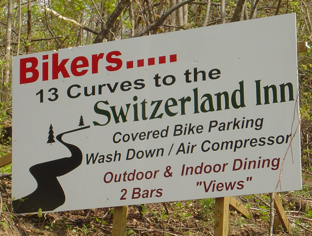
The Switzerland Inn is sandwiched between the Diamondback and the Blue Ridge Parkway near the top of the ride.

It’s unusual to find such a nice resort that actually invites and enjoys motorcycle travelers. You can live it up and get some fancy accommodations or get an affordable room in the Diamondback Lodge bunkhouse. Don’t be fooled by the lower prices, it’s still really nice and you can access the bars and restaurants to enjoy the full experience of the Switzerland Inn. The views are free to all and they are priceless.


Wayne Busch - AMERICA RIDES MAPS

Wayne Busch – AMERICA RIDES MAPS

America Rides Maps