Big Updates to Motorcycle Ride Maps 2019

2019 brings big changes to America Rides Maps motorcycle maps of the southern Appalachians – more area, more detail, and new maps!

View of Map 11The desire to expand the areas covered by America Rides Maps into the Allegheny Mountains of West Virginia required a lot more work than expected. Since the maps connect and overlap, existing maps needed to be updated. I took this opportunity to include the most current data available and employ new skills learned since the last updates improving the detail and readability of what we currently had.

Wayne-with-mapWhen I began there were 13 pocket maps available. Now there are 16 motorcycle ride maps which cover the great motorcycle roads found in the southeast mountains. 5 existing maps were reworked and three new ones introduced. In addition, one of the two large format maps was completely overhauled in the process.

The first step was updating the 3 maps which cover Virginia – Map #1, Map #2, and Map #3.
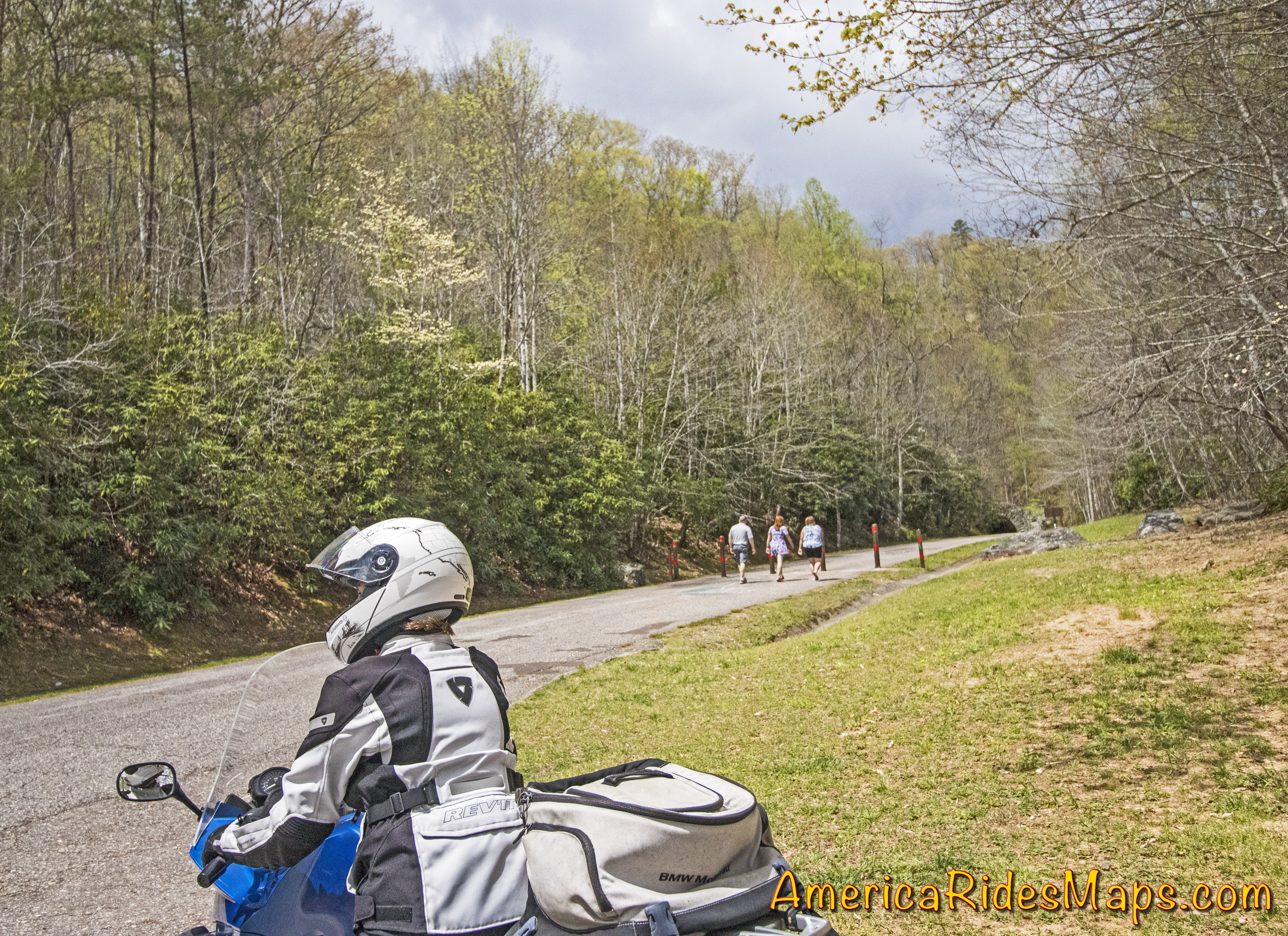
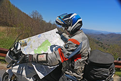
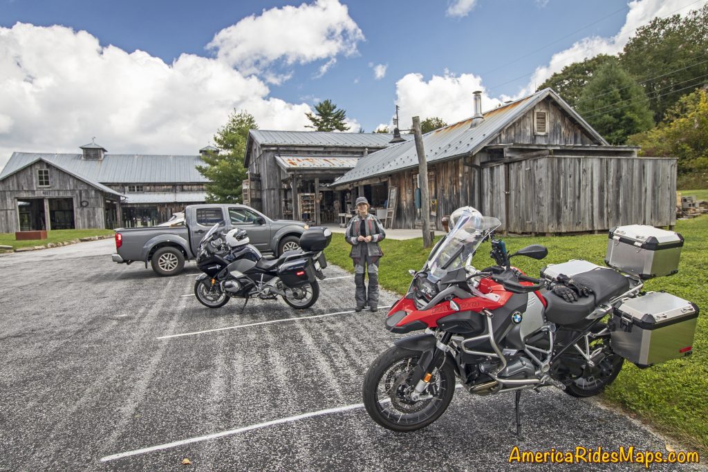
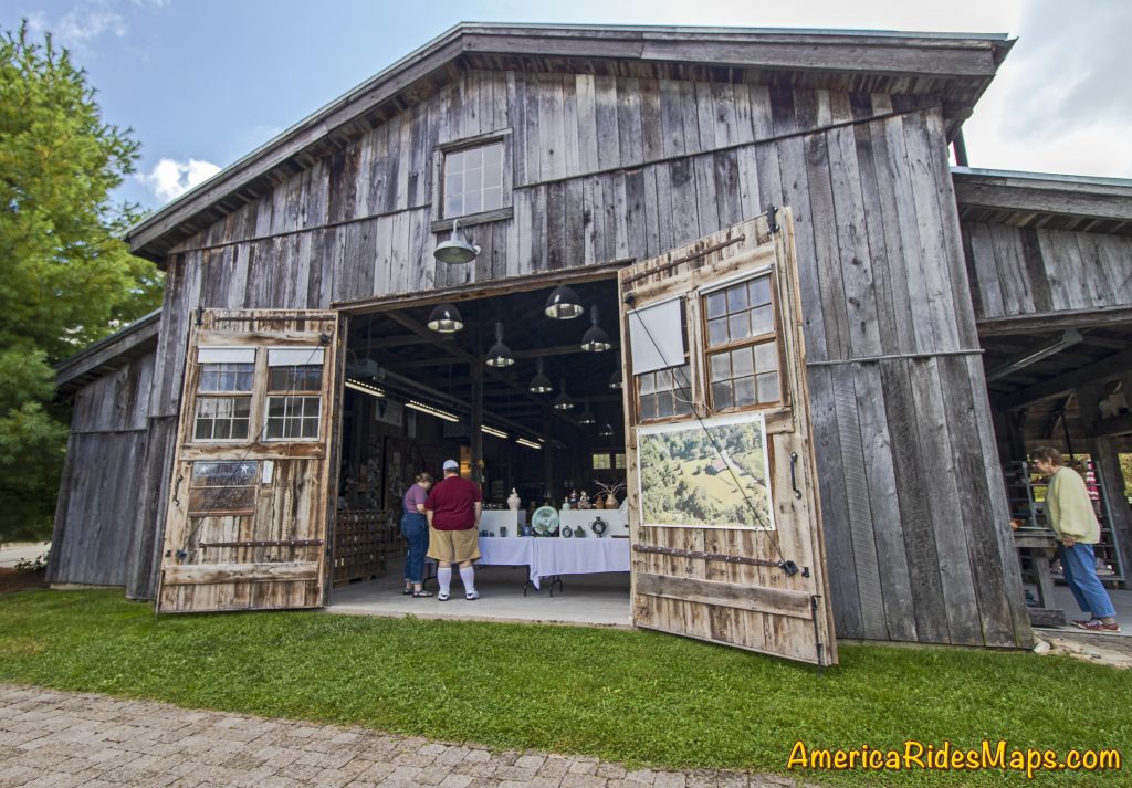
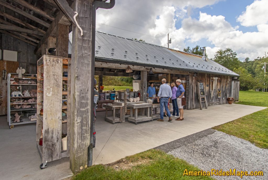
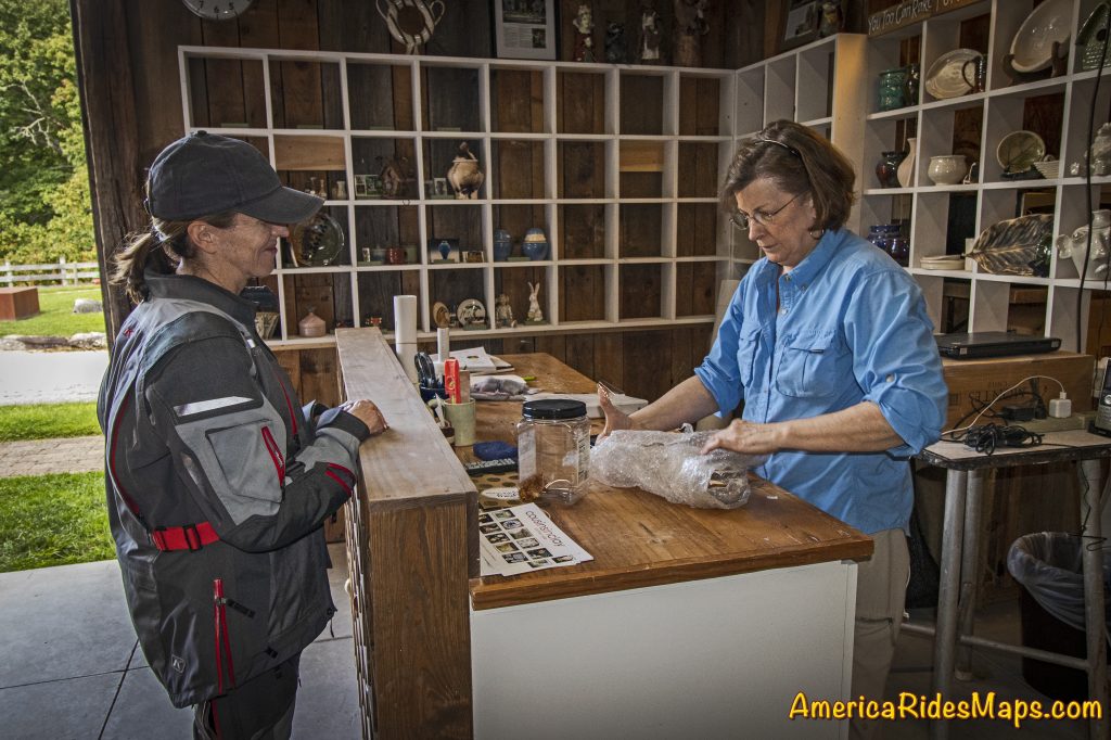
For each of these maps we spent weeks on the road riding the old routes and scouting new ones, updating the information from direct experience and observation, visiting the sights, staying in the hotels and lodges, exploring and recording the new roads.

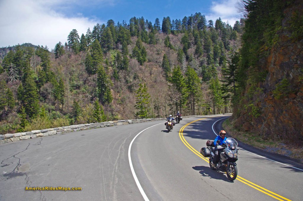
Map #1 – Great Rides Near the Start of the Blue Ridge Parkway Map 1 - Great Rides Near the Start of the Blue Ridge Parkway
This map was expanded to cover a larger area including more of the border with West Virginia. The previous map cut off before it reached Marlinton, WV, it now extends further west. It also extends further south clipping more of Lynchburg. The old map did a good job covering the main roads, the new map focuses on including more of the smaller side roads which stem from them, we found a lot worth adding.

Map #2 The Roads Of Roanoke and BeyondThe Roads Of Roanoke and Beyond
Map #2 got a significant shift to the west. The previous version covered more area east of Roanoke but there were few good roads there. The good riding is west of Roanoke so the focus shifted. Map #2 now extends well across the Virginia border into West Virginia adding a lot of new roads in a really beautiful riding area. We have some new favorite rides and places to visit and stay thanks to these explorations.

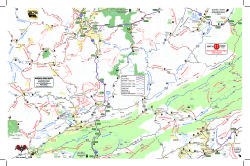
Map #3 North Carolina / Virginia Border RidesNorth Carolina / Virginia Border Rides
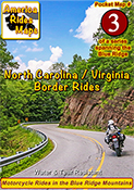
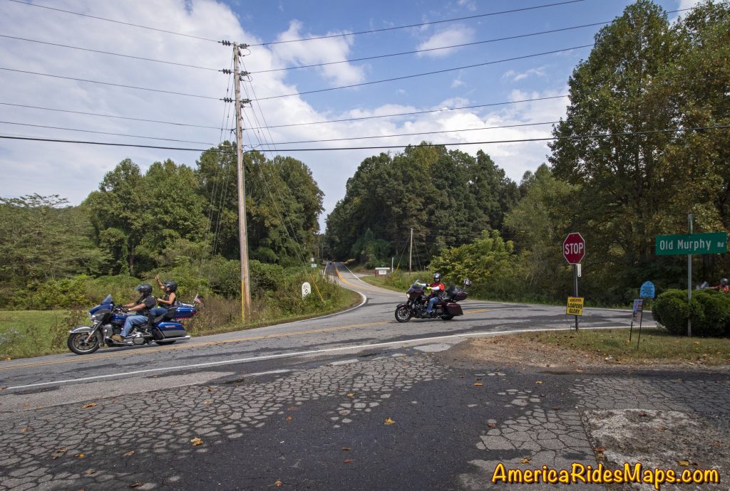
Map #3 was quite a challenge. It was expanded to cover more area both in Virginia and North Carolina. It was enlarged to include Pilot Mountain State Park & Hanging Rock State Park, a large section of the Blue Ridge Parkway, and get in the full run of VA 16 – “The Back of the Dragon”. This is one of our favorite areas to ride in and it is better represented and easier to understand than it was on the previous two overlapping maps.

Once the Virginia maps were ready we moved on to the new West Virginia maps which overlap and connect to them on the border.
Exploring West Virginia was a lot of work with a lot of rewards. I’ve not found such a variety of roads anywhere in the US. This first taste of it has us yearning to expand our coverage.

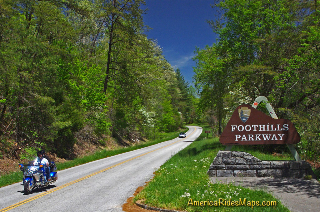
Map #10 West Virginia Border Rides – New River AreaWest Virginia Border Rides - New River Area
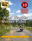
This new map covers the New River Gorge area and extends east to Snowshoe, West Virginia. The city of Beckley anchors the bottom left corner of the area shown. While compared to other maps there are not a lot of paved roads in large sections, more than 50 roads are featured and described and they are great rides. There are some outstanding scenic areas, lots of historic sights, and a handful of great little backroads for the adventurous rider to explore.

Map #11 West Virginia Border Rides – Coal CountryWest Virginia Border Rides - Coal Country
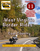
The highlight of this map is the region southwest of Beckley, West Virginia, where you find yourself riding in historic coal country. Numerous roads extend back through the mountains to reach the mines, a few of which are right on the roadway. It also covers the New River area south of Beckley and the scenic roads which wind along broad rivers through historic towns. It picks up VA 16 at the Tazwell end of The Back of the Dragon which continues as a great curvy ride into the city. More than 100 roads are highlighted and described.

Next, it was time to update one of the big maps.
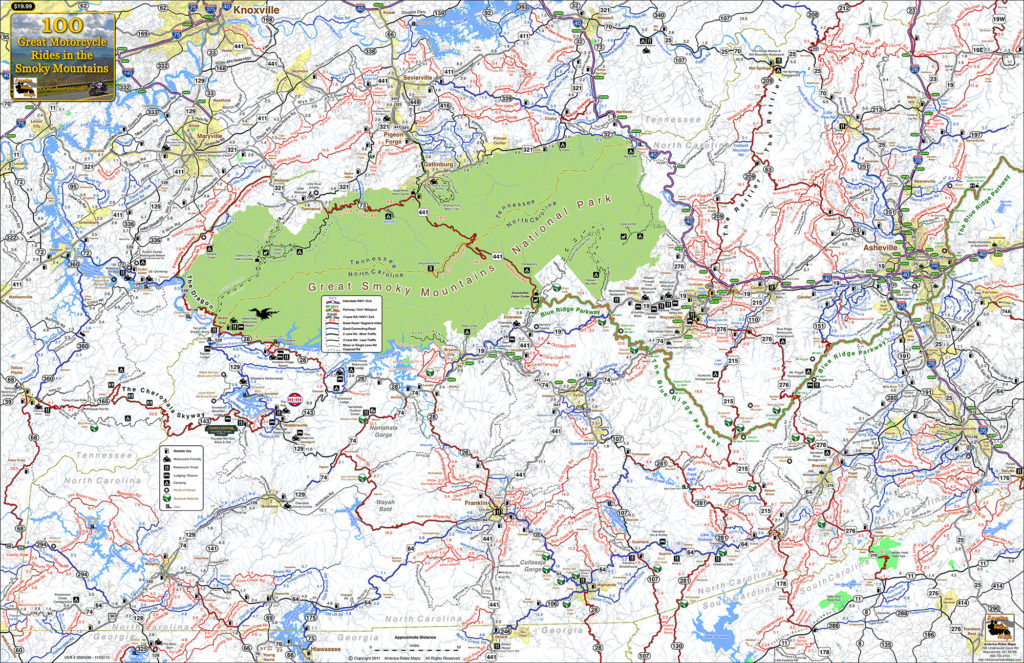
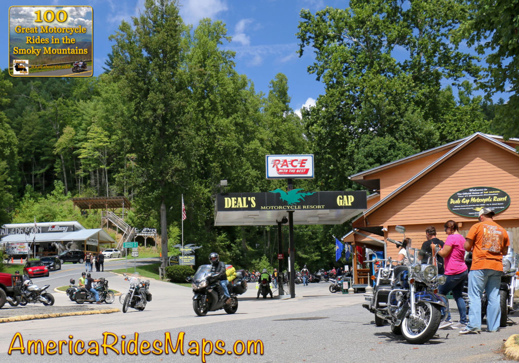
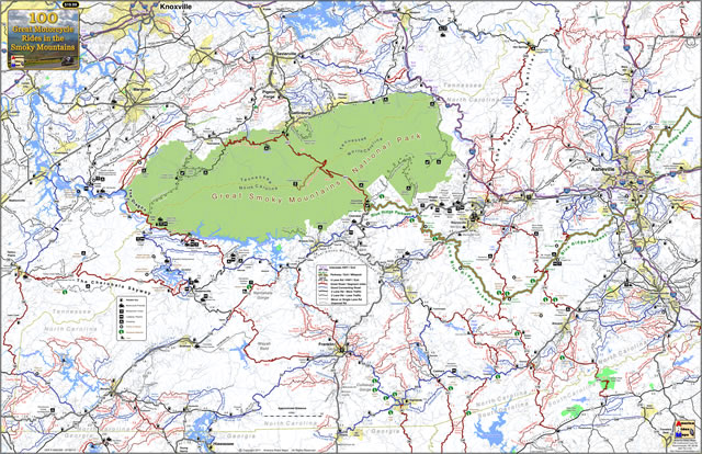
Too much has changed over the last few years, the update was needed. The new maps looked so good I wanted to apply the new techniques so I rebuilt 100 Great Motorcycle Rides in the Smokies from scratch.

100 Great Motorcycle Rides in the Smoky MountainsPremium Map 100 Great Motorcycle Rides in the Smoky Mountains is my best work and best selling map. It was last updated in 2017. Nothing is as comprehensive or as detailed as this motorcycle ride map of the areas surrounding Great Smoky Mountains National Park but I knew I could do it better and I did. I had to add the new “missing link” section fo the Tennessee Foothills Scenic Parkway which was still in limbo at the last printing. Several motorcycle friendly locations on the previous version had gone out of business and there were new ones to be added. I wanted to push the limits and expand the map to include some really great roads not covered on any other map. Mission accomplished.

With the big map done, I used the data to expand another one of the pocket maps –

Map #8 – The Best Motorcycle Rides Near Smoky Park – NORTHBest Rides NORTH of Smoky Park
Once again I pushed to expand the map and add more roads. I also updated the points of interest and added a lot of new ones, several more waterfalls, motorcycle friendly stops, it’s a significant upgrade to this map of the area north of the park.

Finally, my attentions turn to the mountains of Northeast Georgia –

Map OR4 – The Best UNPAVED Roads in Northeast GeorgiaThe Best UNPAVED Roads in Northeast Georgia
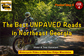
With 3 maps of the unpaved roads in the Smoky Mountains already completed, I set my sights on Northeast Georgia more than a year ago. Frustrated with the limitations of Forest Service maps of this rich off pavement riding area I knew I could do better. It took way too long to poke my wheels down every back road and trail I could find then sort them out, many adventures ensued. You won’t find a better dual sport map of this wonderful area.

Map #9 – The Best Rides in the North Georgia MountainsThe Best Rides in the North Georgia Mountains
As I’d already built the base maps for the unpaved roads in NE Georgia, and discovered new stuff while exploring, it made sense to update the paved roads map as well. Expanded, more points of interest, more motorcycle friendly locations, etc. It really turned out nice.

I finished it all up as the winter weather arrived here in the Blue Ridge Mountains. With short days and freezing weather upon us I will now return to working on the digital versions of the maps and laying out the new explorations for the spring. It was a busy year. I hope the next one brings more road time. Don’t we all.

You can see the maps and order them online at AmericaRidesMaps.com

Wayne Busch - AMERICA RIDES MAPS
Wayne Busch – AMERICA RIDES MAPS

Printed in the USA on the highest quality waterproof and durable materials, these maps are specifically designed for the motorcycle traveler.

Pocket maps are easy to fold, fit in your pocket so they are always handy.

Order Online at
AmericaRidesMaps.com

An Iconic Wayah Road Motorcycle Stop Reopens –

  • 9/28/2019

Located at the corner of Wayah Road and Old Murphy Road just west of Franklin, Loafer’s Glory is back.

Loafer's Glory

Loafer’s Glory

In an area with such notable motorcycle rides as the The Dragon and the Cherohala Skyway, Wayah Road ranks highly as another curvy cruise. It climbs from the upstream end of scenic Nantahala Gorge along the whitewater river to reach alpine Nantahala Lake which feeds the flow. The ride then crosses Wayah Bald for several miles before it plunges down the east side of the mountain through a series of winding switchbacks. When the 30 mile ride ends, Loafer’s Glory sits on the corner, a convenient spot for a break.

Junction Wayah Rd and Old Murphy Rd

Junction Wayah Rd and Old Murphy Rd

Loafer’s Glory was once a popular stop for the kayakers, rafters, hikers, and of course the riders that enjoy this beautiful area of the Nantahala National Forest. It closed for a while, then reopened only to close again. Now, it gets another start. The gas pumps remain idle but the store provides cold drinks, ice cream, and snacks. Riders can get a T-shirt or a sticker as a souvenir of their Wayah ride.

Loafer's Glory

Loafer’s Glory

While there’s not much to it, Loafer’s Glory makes a good rest stop, a place to savor the ride and make strategy for the next. Glad to see it back.

Loafer's Glory decals

Loafer’s Glory

See Interactive Map

Wayne Busch - AMERICA RIDES MAPS

Wayne Busch – AMERICA RIDES MAPS

Article by Wayne Busch, America Rides Maps

We produce detailed maps of the best roads to enjoy on your motorcycle travels in the Blue Ridge and Allegheny Mountains. Get the maps at America Rides Maps.com
Source: America Rides Maps Blog

An Overlooked Attraction in Highlands for your Motorcycle Ride

  • 9/2/2019

An easily overlooked spot in Highlands, NC – The Will Henry Stevens Covered Bridge at the Bascom Art Center makes a great stop on your motorcycle ride to see the waterfalls.

Will Henry Stevens Covered Bridge at the Bascom Art Center

Stevens Covered Bridge

Will Henry Stevens Covered Bridge – Highlands, NC

We’ve ridden past this roadside attraction for years yet it never registered as a place to stop on our motorcycle rides to see the fabulous waterfalls in the Cullasaja River Gorge. I suppose it’s because I’m so eager to get out of the congestion in Highlands, NC. The roads surrounding the upscale town are outstanding but traffic crawls through the popular picturesque community. Reaching the edge of town the twists and turns ahead are so tempting yet a stop at the Bascom is time well spent and adds to the ride.

As you head west from Highlands towards the Cullasja Gorge to see the 4 big roadside waterfalls on NC 28 / US 64 you’ll find the Will Henry Stevens Covered Bridge on the right. The road it covers leads to the Bascom Art Center, a collection of historic restored horse farm buildings which house the art and museum. It’s a one-way ride entering through the bridge, a short paved road loops you back to US 64 from the parking area at the museum.

Will Henry Stevens Covered Bridge - Highlands, NC

Will Henry Stevens Covered Bridge – Highlands, NC

Bascom Art Center – Highlands, NC

Bascom Art Center - Highlands, NC

Bascom Art Center – Highlands, NC

Bascom Art Center - Highlands, NC

Bascom Art Center – Highlands, NC

Bascom Art Center - Highlands, NC

Bascom Art Center – Highlands, NC

The covered bridge is exquisite, worth the stop to see. It’s not original, the timbers were brought from New Hampshire then reconstructed at the site from a bridge dating from 1807. The beams are secured with hammered wooden pegs, it’s truly a work of lost craftsmanship. You’ll find an appreciation for historic preservation throughout the Bascom Art Center in the barns and stables now hosting the artists and their work.

Bascom Art Center - Pottery

Bascom Art Center – Pottery

Bascom Art Center - Taking some home(

Bascom Art Center – Taking some home(

Bascom Art Center - Gallery

Bascom Art Center – Gallery

Bascom Art Center - Gallery

Bascom Art Center – Gallery

The Bascom Art Center is worth the time for a visit. You’ll find artists in residence producing  beautiful pottery and crafts and a gift shop if any catch your eye. The three story museum in the largest building features collections from historic South Carolina, Japanese calligraphy, woodworks, and other eclectic exhibits. A short walking trail loops from the gallery through the grounds.

Bascom Art Center - exhibits

Bascom Art Center – exhibits

Bascom Art Center - exhibits

Bascom Art Center – exhibits

Bascom Art Center - exhibits

Bascom Art Center – exhibits

Bascom Art Center - exhibits

Bascom Art Center – exhibits

Bascom Art Center - exhibits

Bascom Art Center – exhibits

The Will Henry Stevens Covered Bridge & Bascom Art Center make a nice addition to your waterfall ride passing through Highlands, NC. Be it a quick stop to snap some photos or a more extended visit to the art center, this is a nice scenic addition to your motorcycle adventures. Explore the map below to discover more and download a GPS track of the loop ride.

The Easy Waterfall Ride (https://miles-by-motorcycle.com/51999/maps/52025/the-easy-waterfall-ride)

Wayne Busch - AMERICA RIDES MAPS

Wayne Busch – AMERICA RIDES MAPS

Article by Wayne Busch, America Rides Maps

We produce detailed maps of the best roads to enjoy on your motorcycle travels in the Blue Ridge and Allegheny Mountains. Get the maps at AmericaRidesMaps.com
Source: America Rides Maps Blog

Great Motorcycle Rides – Is it a Waterfall or Not?

NC 28 / US 64 between Franklin and Highlands, North Carolina is well known for 4 beautiful roadside waterfalls. 

Few notice there is a 5th waterfall, at least that’s what the sign says.

Seqoyah Falls

Sequoyah Falls is located just outside Highlands. Truth is it’s not a natural waterfall, rather the spillover from the dam on Lake Sequoyah.There’s an unpaved pull off, a sign and a plaque here and it does make a nice place for a stop on your motorcycle ride.

Is it a waterfall? You decide while you savor this beautiful spot on your motorcycle tour of the Blue Ridge.  Enjoy!

You’ll find this road and 99 other outstanding motorcycle rides in the area on map – 100 Great Motorcycle Rides in the Smoky Mountains

100 Great Smoky Mountain Motorcycle Rides Map

100 Great Smoky Mountain Motorcycle Rides Map

Do you like riding to see waterfalls? You might also like – 

Smoky Mountain Waterfalls Motorcycle Ride


Wayne BuschAmerica Rides Maps

Wayne Busch searches out the most entertaining roads in the Blue Ridge Mountains then records them on a series of maps which span the Blue Ridge Mountains.

There are more great motorcycle roads in the Blue Ridge and Smoky Mountains than anywhere else. I highlight the best roads then show you the best ways to connect them together into rides. More than a decade of searching has discovered more than 1000 good roads to enjoy. We continue to search so you may enjoy.

Review the maps, order online hereAmericaRidesMaps.com

Source: America Rides Maps Blog @ Miles-by-Motorcycle.com
https://miles-by-motorcycle.com/51999/blog/53982/great-motorcycle-rides—is-it-a-waterfall-or-not-

5 Best Motorcycle Rides in the Smoky Mountains

How do motorcycle riders choose from more than 100 outstanding biker roads in the Smoky Mountains?

America Rides Maps suggests these are the roads to hit first when you visit on your motorcycle tour –

Blue Ridge Parkway Highest Point
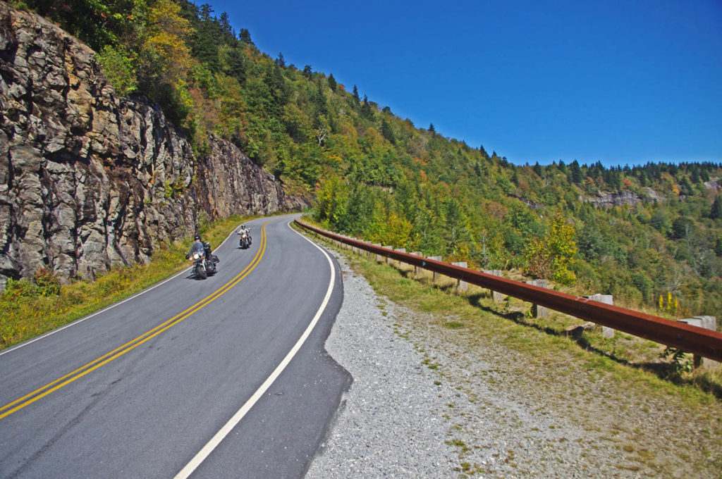
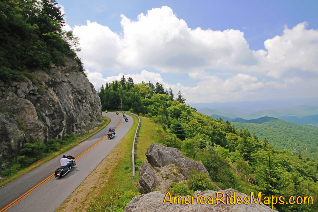
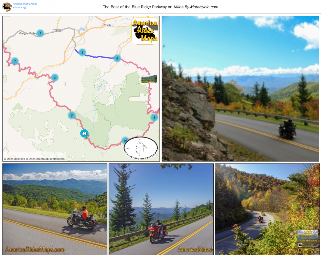
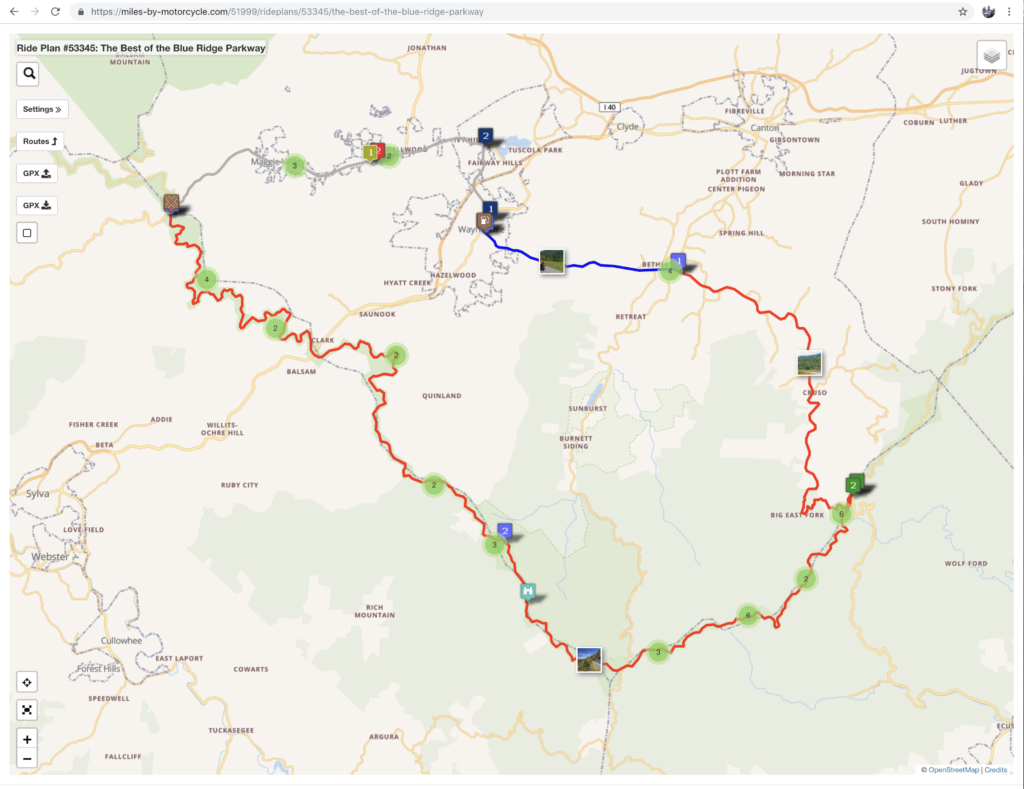
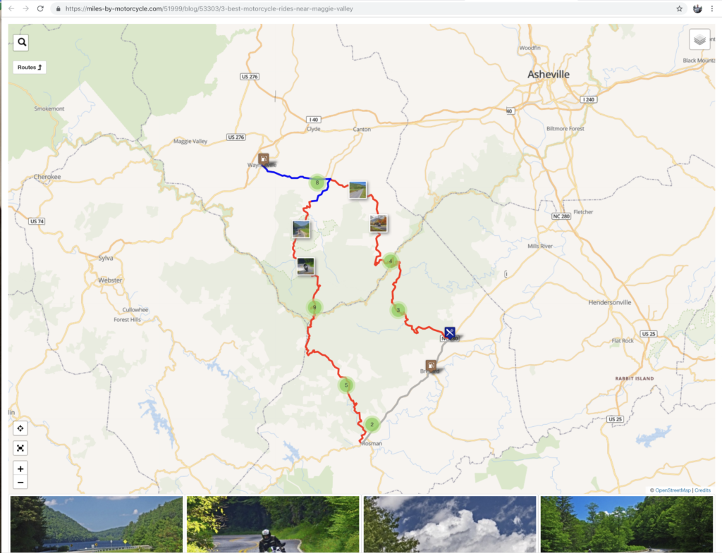
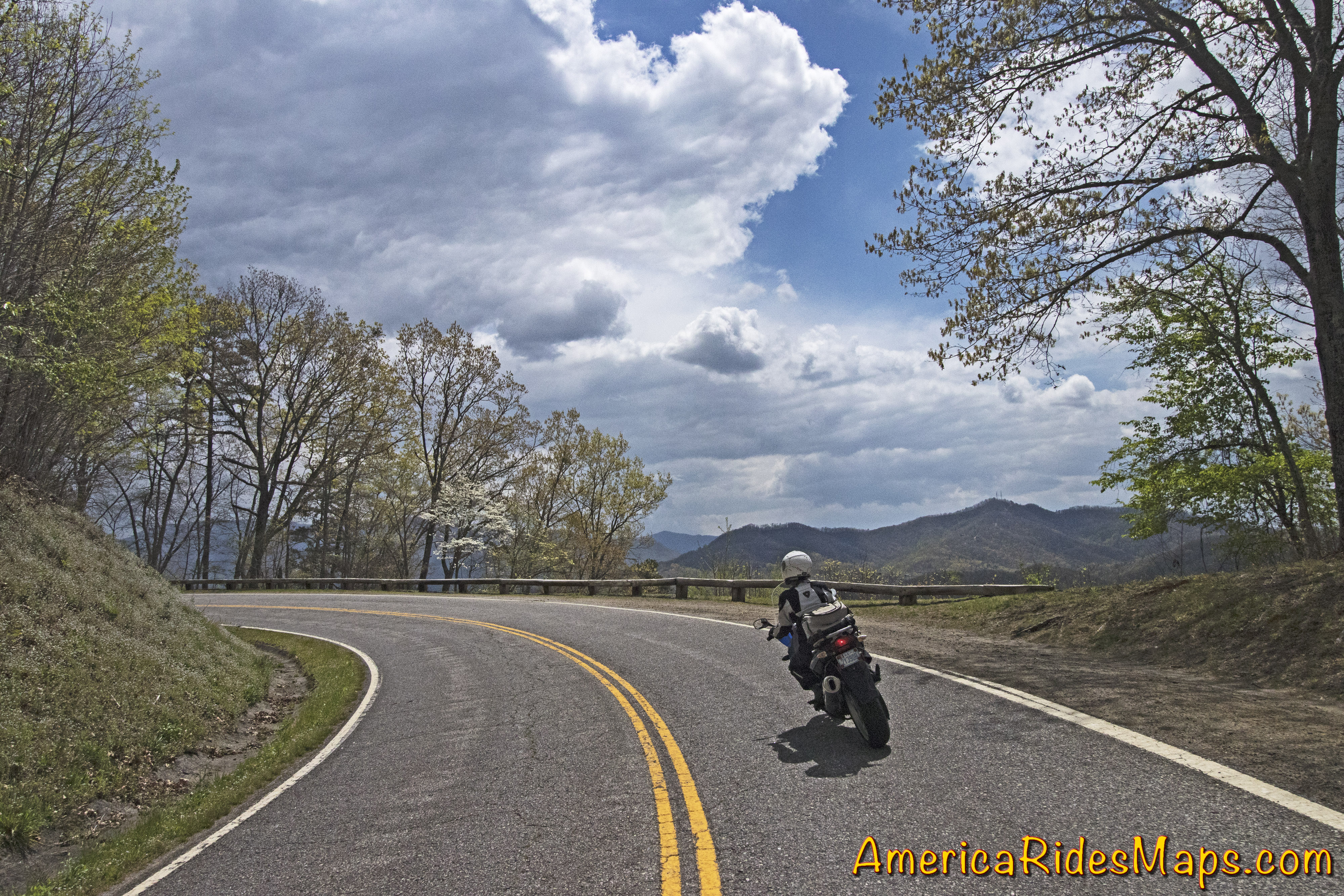
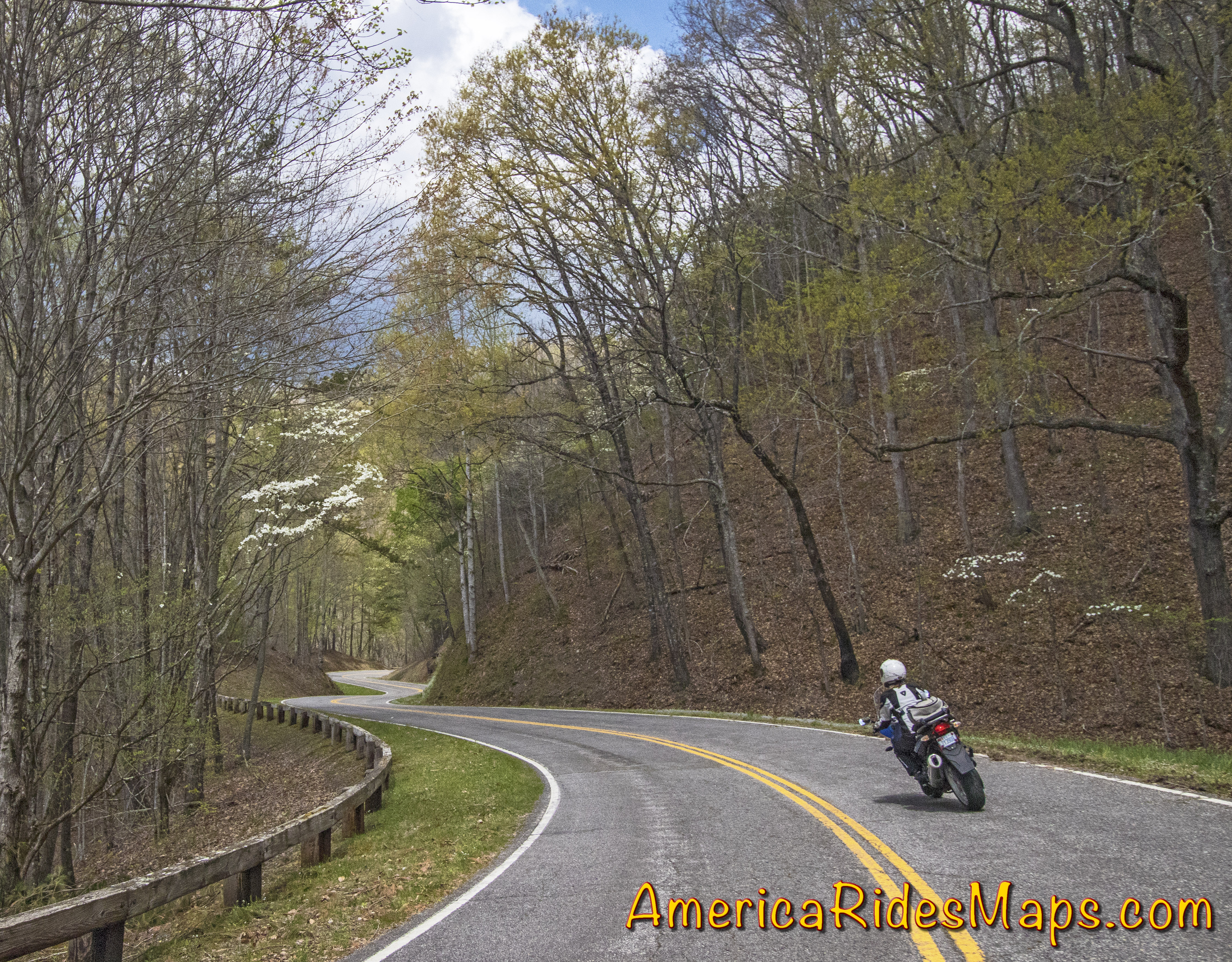
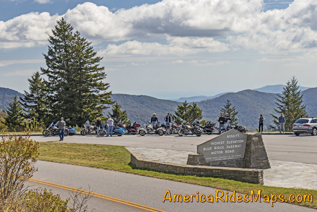
The Blue Ridge Parkway –

Hands down, the Blue Ridge Parkway should be at the top of your list. The best 50 miles of the 469 mile long scenic road are right here and easy to get to. It’s the highest section of the parkway filled with stunning overlooks as it cuts along the tops of the mile high mountains. Ride the section between US 19 (near Maggie Valley) to US 276 (south of Waynesville). Highlights on this stretch include Waterrock Knob, The Highest Point (classic photo with the sign), the Devils Courthouse, Looking Glass Rock, Second Falls at Graveyard Fields, and so many beautiful viewpoints to enjoy. The grades are gentle, the curves are satisfying. It’s a relaxing and enjoyable ride.

You can do it in a couple of hours or spend the time to stop and savor the sights. If you want to make a day of it, follow the parkway to Great Smoky Mountains National Park and ride across the heart of it on US 441. In the other direction the parkway leads through Asheville then gradually climbs to reach Mt. Mitchell State Park, the highest peak in the east.

More info  – https://miles-by-motorcycle.com/51999/blog/53348/the-best-section-of-the-blue-ridge-parkway

The Dragon

The Dragon & Cherohala Skyway

Located on the west side of Great Smoky Mountains National Park, these roads are two of the most popular rides in the Blue Ridge. The legendary Dragon (US 129) draws motorcycle and car enthusiasts to the 13 miles of tight, technical, challenging curves that hug the border of the park. It can get crowded on weekends and while the road has a notorious reputation a casual run is a lot of fun. You’ll see numerous photographers along the route to capture your vacation shots as you pass. Nearly 100 paved pull-offs let you escape the speed demons on your tail or just pause to watch the carnival. It takes about half an hour to run the Dragon.

The Cherohala Skyway is very much like the Blue Ridge Parkway running 50 miles between the small towns at either end. It climbs to the highest ridges as it courses through the vast wilderness of the Cherokee and Nantahala National Forests. There are numerous nice overlooks to appreciate the views. The curves are more sweeping, the grades easy, and it’s rarely anything you’d call crowded. There are some tighter sections of road as you come off the Skyway at the North Carolina end to choose from. At the Tennessee end of the ride, look for tiny River Road to lead you out to Bald River Falls and Baby Falls. Plan a couple hours for this road if you go out to the falls.

To make a day of it a popular loop ride combines both passing the Vonore, TN. In NC, US 129 is an easy ride south to Robbinsville, or NC 28 takes you on an awesome curvy ride when headed east.

More info – https://miles-by-motorcycle.com/51999/blog/52688/ride-the-dragon-and-the-cherohala-skyway—loop-ride

US 64 – The Waterfall Ride –

There are many versions of this ride which is anchored to the section on NC 28 / US 64 between Franklin and Highlands, NC. Cullasaja Falls, Dry Falls, Quarry Falls, and Bridal Veil Falls are found in the Cullasaja Gorge making this one of the easiest spots to see a lot of falls in a short distance. West of Franklin, Wayah Road climbs over the mountains to the Nantahala Gorge. Upper Nantahala Falls is on the way. Wesser Falls and Nantahala Falls are found in the Gorge. To the east of Highlands, Toxaway Falls is on US 64, Whitewater Falls is just a few miles south. A bit further east you’ll find Birdrock Falls and Mill Shoals Falls on NC 215, and Looking Glass Falls and Sliding Rock on US 276. There are so many waterfalls you can take a couple days to see all the easy ones.

The linked map (below) shows one way to see a dozen falls in a day on a reasonable length ride. There are many other ways to link the roads and tour the cascades.

More info – https://miles-by-motorcycle.com/51999/blog/52558/the-easy-waterfall-ride

NC 209 - The Rattler

NC 209 – The Rattler –

This easy to access ride on the east side of Great Smoky Mountains National Park is a gem. The 37 mile run from Junaluska to Hot Springs gives you a little bit of everything in nicely spaced doses. There are gentle valley rides, twisty mountain climbs, pretty scenery, rushing rivers, and historic sights. There are a couple spots to eat in Hot Springs and a spa where you can soak in the natural hot spring waters.

The ride takes about an hour. There is a popular loop that can make it a half day ride passing through Marshall then winding over the mountains to return back to NC 209.

More info – https://miles-by-motorcycle.com/51999/blog/52309/the-classic-rattler-loop-ride

NC 215

The Copperhead Loop –

This ride has a few versions which are all built off two outstanding roads – US 276 and NC 215. Both of these roads run north to south. The Copperhead Loops are made with roads which run between them. Think triangle, not loop – US 276 and NC 215 meet in Bethel, NC. They then both run south more or less parallel to one another crossing the border into South Carolina.

US 276 is the better known of the two roads. From Bethel, it runs along a valley then makes a dramatic climb to intersect the Blue Ridge Parkway. South of the parkway it descends to Brevard with attractions and waterfalls along the way. It then runs into town then shoots south again passing Connestee Falls into South Carolina. It has engaging curves, nice scenery, one of the most popular waterfalls (Looking Glass Falls) , and can get a bit crowded on weekends as so many flock to the beautiful area around the waterfalls.

NC 215 also leaves Bethel to follow a valley, then begins a gradual and twisty climb. It’s more technical than US 276 and the challenges are more sustained. There’s little if any traffic. There are waterfalls along the way.

Both roads reach their first connection at the  Blue Ridge Parkway then drop down the south slopes to reach US 64. US 64 links between Rosman and Brevard, it’s the classic easy connecting route, the “standard” loop. South of US 64, NC 215 becomes US 178. Both it and US 276 continue south into South Carolina to reach the southernmost linking road, SC 11.

More info – https://miles-by-motorcycle.com/51999/blog/53429/best-rides-in-the-blue-ridge—the-copperhead

These roads and many more are catalogued on motorcycle ride maps published by America Rides Maps. Buy them online at http://AmericaRidesMaps.com


Wayne BuschAmerica Rides Maps

Wayne Busch searches out the most entertaining roads in the Blue Ridge Mountains then records them on a series of maps which span the Blue Ridge Mountains.

There are more great motorcycle roads in the Blue Ridge and Smoky Mountains than anywhere else. I highlight the best roads then show you the best ways to connect them together into rides. More than a decade of searching has discovered more than 1000 good roads to enjoy. We continue to search so you may enjoy.

Review the maps, order online hereAmericaRidesMaps.com

Source: America Rides Maps Blog @ Miles-by-Motorcycle.com
https://miles-by-motorcycle.com/51999/blog/53524/5-best-motorcycle-rides-in-the-smoky-mountains

Which is the Best Town to Stay In when Riding the Smokies?

There is no “one size fits all” place for motorcycle riders touring in the Smoky Mountains. Each has it’s advantages and disadvantages, strengths and weaknesses depending on what you want to get out of your motorcycle trip.

100 Smoky Mountain Rides Map

100 Smoky Mountain Rides Map

Great Smoky Mountains National Park

Great Smoky Mountains National Park takes up a huge chunk of real estate on the North Carolina / Tennessee border. Staying within the park means camping, and numerous options present. You’ll find these campgrounds fairly busy and congested though that also means basic facilities are assured and they are in stunningly beautiful settings. It’s nice from a camping standpoint, but you’ll be starting and ending each day on the few park roads as you commute to the surrounding areas cutting into your ride time each day.

US 441 - Great Smoky Mountains National Park

US 441 – Great Smoky Mountains National Park

Outside the Park – Towns around the park can be divided by compass direction – north, south, east, west. Each of these areas is distinctly different reflected in the towns within.

Tennessee Foothills Scenic Parkway

Tennessee Foothills Scenic Parkway

North of the Park:

Gatlinburg / Pigeon Forge – Tourist Mecca. Easy to get to and just half an hour south from Knoxville, these towns are dominated by tourist attractions like Dollywood, Ripley’s, Ober Gatlinburg, the Space Needle, Smoky Mountain Opree, and all kinds of venues geared to kids, families, shopping, nightlife, and the scenic park views. It’s a busy, bustling, and energetic place with loads of places to stay. Riding in this area is comparatively limited and the major roads congested. North of the park the mountains quickly subside into the broad Tennessee River Valley. The riding is to the east and west, look to the lesser traveled valleys and back roads. South takes you into the park.

Townsend – West of the big towns, Townsend stretches along the Little River into the park. It has a large tourism focus but is not as built up. Riding to the east means passing through the big towns, to the south is one entrance to the park. The Tennessee Foothills Parkway takes you west to US 129 on the north side of The Dragon and access to the western rides.

Cosby / Newport – This is pretty rural country except for the main road (US 321) which passes though it. The tourist focus diminishes as you stray north from the park to Newport and it’s more characteristic of the east side of GSMNP. For ADV riders, it sits on the edge of some decent unpaved riding in the Pisgah National Forest.

NC 209 - The Rattler

NC 209 – The Rattler

East of the Park:

Hot Springs – The area on the east side of GSMNP is dominated by the Pisgah National Forest. The mountains continue their arc north from the park to the highest of the peaks still miles distant. This area is rural and undeveloped. The few roads that do run through it are outstanding mountain rides, even Interstate 40 cutting through the Tennessee River Gorge is spectacularly scenic. Small mountain towns dot the landscape, Hot Springs is one of them. The historic town has limited places to stay and eat and a campground on the French Broad River.

Asheville – A vibrant and beautiful small city. The Blue Ridge Parkway passes through it. You’ll find ample places to stay in the surroundings, and the city traffic can be escaped fairly quickly. Known for its food and beer culture, parking is an issue to the point walking is the way to go when downtown. You’ll be paying city prices but also have access to some luxurious and scenic places to stay if that’s your style.

West of the Park: 

Deals Gap – Both south and west of the park, Deals Gap sits at the NC end of The Dragon. It’s relatively remote with few lodging options, but if you’re a Dragonista it’s heaven.

Robbinsville – at the crossroads of The Dragon and the Cherohala Skyway, Robbinsville is a small town. There’s one large motel, a few motorcycle centered lodgers, and a handful of restaurants. There’s a nice mix of riding in the surroundings.

Tellico Plains – across the Cherohala Skyway, Tellico Plains is a small town. You find a handful of restaurants, a few lodgers, and camping nearby. The best riding is to the east and south, a loop north takes you to the Dragon.

Blue Ridge Parkway

Blue Ridge Parkway

South of the Park:

Waynesville – The largest town in western North Carolina hosts the best food west of Asheville and a popular downtown. Lodging options are scattered. It’s at the hub of the best riding with great roads in every direction. The are numerous roads leading from town which intersect the Blue Ridge Parkway and the Land of the Waterfalls to the south.

Maggie Valley – On the edge of the park, Maggie Valley has the most places to stay. Like Waynesville, it sits at the epicenter of the best riding and makes an ideal base for a longer stay. Wheels Through Time motorcycle museum is a popular attraction. There are numerous motorcycle events throughout the season. Easy access to the Blue Ridge Parkway and many great rides are found nearby.

Cherokee – Located at the south end of the Blue Ridge Parkway and the entrance to Great Smoky Mountains National Park, Cherokee offers ample places to stay and lots of small restaurants. It’s the heart of Cherokee culture with museums and attractions. Harrah’s Cherokee Casino dominates the landscapes on the outskirts of town. There is riding in all directions though the town itself can be congested and busy and many commutes will be on major roads.

Bryson City – Somewhat isolated, Bryson City is a small town with several good places to eat and limited lodging. The Great Smoky Mountains Railroad is the big tourist draw as is camping at the edge of the park at Deep Creek. Riding is to the east, west, and south.

Stecoah – Barely a town, you’ll find campgrounds and cabins in this area. Few places to eat. It sits on NC 28 leading to Robbinsville and Deals Gap. The best riding is to the west. It’s good location for ADV riders looking to explore the unpaved roads.

Fontana Village – An isolated location, you find the Fontana Village Resort has all you need in one spot. It sits on NC 28 close to the Dragon and rides west. The Fontana Dam is nearby.

Maggie Valley, NC

Maggie Valley, NC

Which is best?

If your focus is being surrounded by the best roads so you can spend your visit riding, the south side of Great Smoky National Park is best. You’ll find the most options for lodging, eating, and other attractions on the southeast side, more remote and quiet places on the southwest side. No matter which area you stay in, you’ll find more great motorcycle rides in the Smoky Mountain area than anywhere else, enjoy!


Wayne BuschAmerica Rides Maps

Wayne Busch searches out the most entertaining roads in the Blue Ridge Mountains then records them on a series of maps which span the Blue Ridge Mountains.

There are more great motorcycle roads in the Blue Ridge and Smoky Mountains than anywhere else. I highlight the best roads then show you the best ways to connect them together into rides. More than a decade of searching has discovered more than 1000 good roads to enjoy. We continue to search so you may enjoy.

Review the maps, order online hereAmericaRidesMaps.com

100 Rides In the Smokies – Full Sized Map
http://miles-by-motorcycle.com/51999/photos/52000/untitled/52073/100-rides-in-the-smokies—full-sized-map)

Source: America Rides Maps Blog @ Miles-by-Motorcycle.com
https://miles-by-motorcycle.com/51999/blog/53524/5-best-motorcycle-rides-in-the-smoky-mountains

The Best Section of the Blue Ridge Parkway

This 43 mile section is the best of the 491 mile long world famous motorcycle ride. It’s the highest, the twistiest, and has the most scenic overlooks to stop and enjoy. 

Click to go to interactive map

Enjoy views from the Highest Point, see the Devil’s Courthouse, Looking Glass Rock, Graveyard Fields, and more. Some of the best overlooks are listed on each parkway section by milepost in this guide.

Soco Gap (Milepost 455.7) to Wagon Road Gap (Milepost 412.2) 

Distance: 78 miles to make the loop

Ride Time: 3 hours or more 


Wayne BuschAmerica Rides Maps

Wayne Busch searches out the most entertaining roads in the Blue Ridge Mountains then records them on a series of maps which span the Blue Ridge Mountains.

There are more great motorcycle roads in the Blue Ridge and Smoky Mountains than anywhere else. I highlight the best roads then show you the best ways to connect them together into rides. More than a decade of searching has discovered more than 1000 good roads to enjoy. We continue to search so you may enjoy.

Review the maps, order online hereAmericaRidesMaps.com

The Best Section of the Blue Ridge Parkway is found on America Rides Maps – 

Map #6  – The Best Motorcycle Rides Near Smoky Mountains Park – EAST

Map – 12 Classic Deals Gap Motorcycle Rides

Map – 100 Great Motorcycle Rides in the Smoky Mountains

Map OR2 – The Best Unpaved Roads SOUTH of Smoky Park

Source: America Rides Maps Blog @ Miles-by-Motorcycle.com
https://miles-by-motorcycle.com/51999/blog/53348/the-best-section-of-the-blue-ridge-parkway

3 Best Motorcycle Rides Near Maggie Valley

Located on the quiet south side of Great Smoky Mountains National Park, Maggie Valley is the hub of the best motorcycle rides in the USA.

More than 100 great motorcycle rides surround the mountain town. It’s home to the Wheels Through Time Motorcycle Museum. Numerous rallies and festivals take place throughout the warm season.

Maggie Valley, NC

Maggie Valley, NC

Here are three of the best motorcycle rides nearby –

1) The Best of the Blue Ridge Parkway –

Best of the Blue Ridge Parkway Map

Best of the Blue Ridge Parkway Map

http://miles-by-motorcycle.com/51999/rideplans/53345/the-best-of-the-blue-ridge-parkway

2) The Copperhead Loop –

Copperhead Loop Map

Copperhead Loop Map

http://miles-by-motorcycle.com/51999/rideplans/53346/the-copperhead-loop

3) The Rattler –

Rattler Loop Map

Rattler Loop Map

http://miles-by-motorcycle.com/51999/rideplans/53347/the-classic-rattler-loop-ride

GPX tracks of these rides can be downloaded from the individual ride plans with a Miles-by-Motorcycle.com subscription


Wayne BuschAmerica Rides Maps

Wayne Busch searches out the most entertaining roads in the Blue Ridge Mountains then records them on a series of maps which span the Blue Ridge Mountains.

There are more great motorcycle roads in the Blue Ridge and Smoky Mountains than anywhere else. I highlight the best roads then show you the best ways to connect them together into rides. More than a decade of searching has discovered more than 1000 good roads to enjoy. We continue to search so you may enjoy.

Review the maps, order online hereAmericaRidesMaps.com

These Roads are found on America Rides Maps –

#6 The Best Motorcycle Rides Near Smoky Mountains Park – EAST

12 Classic Deals Gap Motorcycle Rides

100 Great Motorcycle Rides in the Smoky Mountains

The Best Unpaved Roads EAST of Smoky Park

Source: America Rides Maps Blog @ Miles-by-Motorcycle.com
https://miles-by-motorcycle.com/51999/blog/53303/3-best-motorcycle-rides-near-maggie-valley

Good Motorcycle Rides – Little Savannah Road

This useful mountain backroad lets you bypass the traffic and congestion around Dillsboro, Sylva, and Cullowhee, NC.

Click to go to interactive map

Little Savannah Road can save you time and give you a much better ride than the main roads. This two lane twisty backroad is a great way to link US 441 to NC 107 without passing through Dillsboro and Sylva. A short section of Webster Road (NC 116) completes the bypass.


Wayne BuschAmerica Rides Maps

Wayne Busch searches out the most entertaining roads in the Blue Ridge Mountains then records them on a series of maps which span the Blue Ridge Mountains.

There are more great motorcycle roads in the Blue Ridge and Smoky Mountains than anywhere else. I highlight the best roads then show you the best ways to connect them together into rides. More than a decade of searching has discovered more than 1000 good roads to enjoy. We continue to search so you may enjoy.

Review the maps, order online hereAmericaRidesMaps.com

This Good Motorcycle Ride and many others can be found on motorcycle ride maps –

Map #7 – The Best Motorcycle Rides Near Smoky Park – SOUTH

Map – 100 Great Motorcycle Rides in the Smoky Mountains

Map – 100 Rides in the Southern Blue Ridge

Map OR2 – The Best Unpaved Roads SOUTH of Smoky Park

Source: America Rides Maps Blog @ Miles-by-Motorcycle.com
https://miles-by-motorcycle.com/51999/blog/53224/good-motorcycle-rides—little-savannah-road

A Good Motorcycle Ride – The Road to Nowhere

Road to Nowhere Motorcycle RideA scenic motorcycle ride on an abandoned road in Great Smoky Mountains National Park.

Road to Nowhere Motorcycle Ride Map

Lake View Drive in Great Smoky Mountains National Park was planned to arc around the north shore of Fontana Lake to connect to the southern lake loop road (NC 28) at the Fontana Dam. The project was abandoned about half way through and has come to be known as “The Road to Nowhere”.

Road to Nowhere Motorcycle RideThe road starts in Bryson City, NC as Everett Street. This is a great motorcycle ride to add to your lunch plans, a nice little side trip. There are a lot of good places to eat in Bryson City. One of them, The Cork and Bean, sits at the corner of this route (Everett St. / Main St.) in town.

The road climbs gently from town arcing to the west as Fontana Road. Its a section of gentle flowing curves.

Road to Nowhere Motorcycle RideThere is a sign at the park border. The road gets much tighter and from here on with curve after curve the whole way.

There are a few spots to pull off and get views of the lake.

The road ends at a paved parking loop. A series of brown slats barricade the road beyond.  You can just see the stone arch tunnel where the road ends from the turn-around. Hiking only once through the tunnel.

Road to Nowhere end Motorcycle RideThere are many stories and controversies over this road. Some see it as a boondoggle. The government has yet to compensate for the land. A family cemetery was isolated, the park service periodically ferries them by boat. Regardless, the result is a really curvy ride with some nice views we can enjoy.

It’s 8.5 miles from town to the end of the road, so you can make it a quick out-and-back ride or stop to savor the views and the wildlife. There are other nice roads nearby if you enjoy exploring the more adventurous back roads including some good unpaved roads.

Road to Nowhere Motorcycle RideYou’ll find this road on map #7,Map #8, Map 100 Great Motorcycle Rides in the Smoky Mountains, and others from America Rides Maps. There are more great motorcycle roads in the Blue Ridge Mountains than anywhere else – find them here;

AmericaRidesMaps.com


Wayne BuschAmerica Rides Maps

Wayne Busch searches out the most entertaining roads in the Blue Ridge Mountains then records them on a series of maps which span the Blue Ridge Mountains.

There are more great motorcycle roads in the Blue Ridge and Smoky Mountains than anywhere else. I highlight the best roads then show you the best ways to connect them together into rides. More than a decade of searching has discovered more than 1000 good roads to enjoy. We continue to search so you may enjoy.

Review the maps, order online hereAmericaRidesMaps.com