Motorcycle Touring – Towns Near Great Smoky Mountains Park

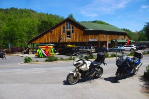
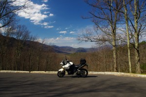
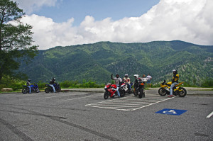
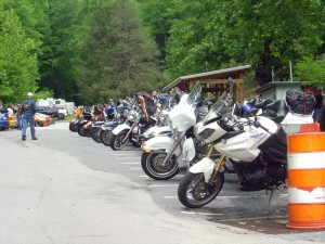
Motorcycles at overlook in Smoky Park

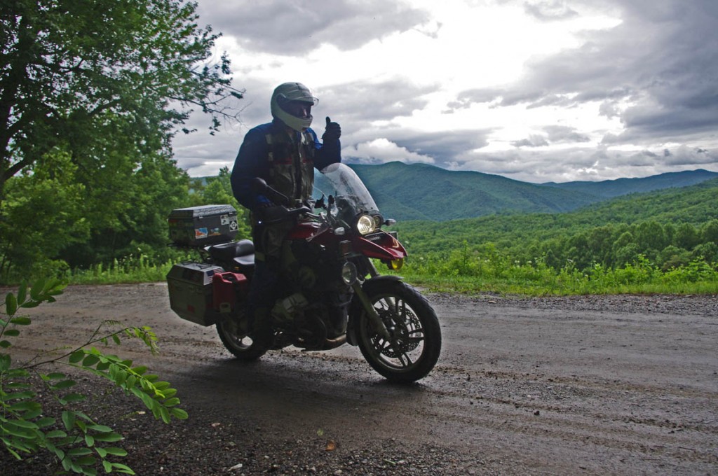
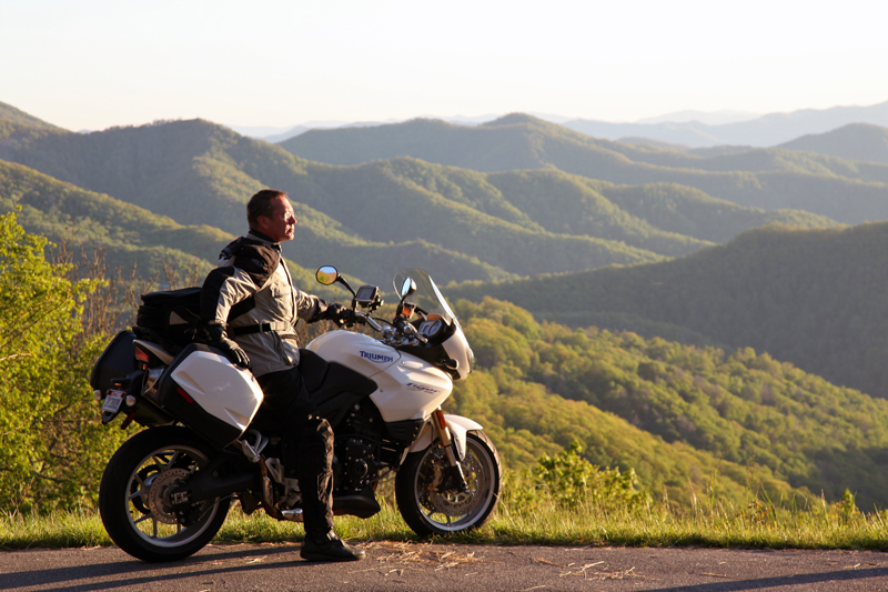
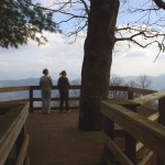
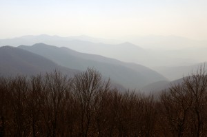
Enjoying  an overlook on Newfound Road in Great Smoky Mountains National Park

Choose the right place to stay on your Smoky Mountain motorcycle trip

Great Smoky Mountains National Park is the #1 visited park in the nation. Needless to say there are plenty of places to stay in the surrounding area when you come. Those who make the trek by motorcycle not only enjoy the wonders of the park, but are rewarded with some of the most challenging and scenic motorcycle rides in the country at it’s borders.

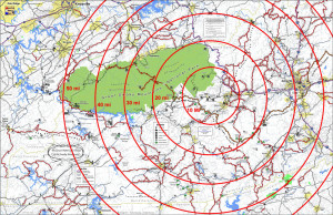
Bullseye on the test place to stay

Bullseye on the best place to stay

I previously looked for the epicenter of great motorcycle riding, the central point in the middle of all the best motorcycle rides in the Blue Ridge Mountains. The prime location was Maggie Valley, NC on the southeast edge of Great Smoky Mountains National Park, with Waynesville and Cherokee close runners up. I listed the pros and cons of using each as a base camp for your motorcycle trip. (read about it here)

Truth is, there are so many great motorcycle rides to choose from in this mountainous region you’ll never get to them all. While being at the strategic center of all the riding offers more riding choices and opportunities, it’s worth looking at some of these other places which lay on the borders of Great Smoky Mountains National Park.

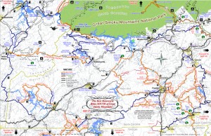
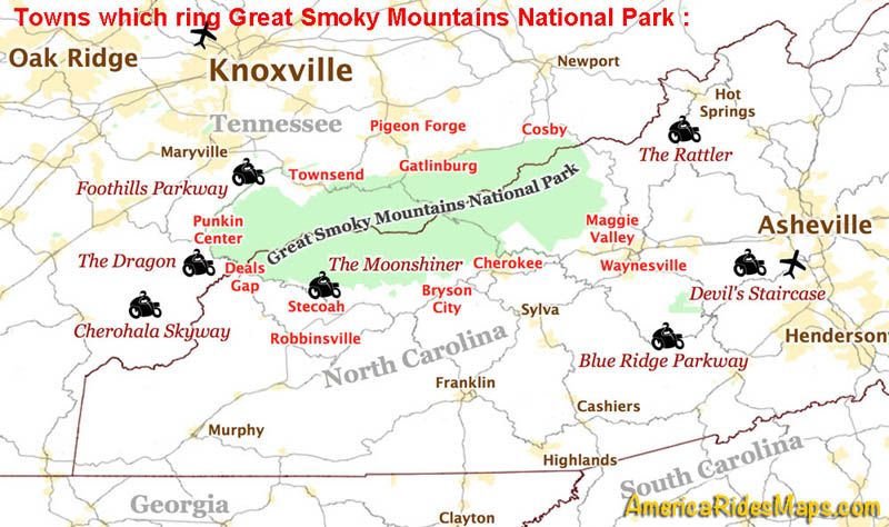
Map towns around smoky park

Towns which ring Great Smoky Mountains National Park and classic motorcycle rides nearby.

♦♦♦♦ Maggie Valley / Waynesville – located right in the heart of the best motorcycle rides. Waynesville has great food, but few rooms. Maggie Valley has lots of rooms, places to eat, and the Wheels Through Time Motorcycle Museum.  (previously covered, read about it here).

♦♦♦ Cherokee – It’s where the Blue Ridge Parkway meets great Smoky Mountains National Park. Culture, casino, and crowds.  (previously covered, read about it here)

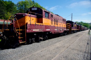
Photo - Great Smoky Mountains Railway Train

Great Smoky Mountains Railroad train in Bryson City

♦♦ Bryson City – Places to stay, camping, good food and drink, the railroad, at first glance Bryson City has a lot to offer. It’s downfall is it’s isolation. It’s located adjacent to 4 lane US 74. It has a nice little downtown where US 19 comes in from Cherokee. Your choices to quickly hop on a good ride without hitting the 4 lane are limited.

– If you’re looking for a nice quiet place to camp on a swimming creek and do a little riding, Bryson City will do you well.

♦♦ StecoahStecoah is a small spot located off NC 28 not far from Fontana Lake. There are cabins available here, though it’s a really popular spot for campers. There are a couple motorcycle campgrounds. NC 28  leads to The Dragon at Deals Gap or you can cut through to Robbinsville and the Cherohala Skyway. There’s a roadside diner. It’s a pretty remote spot so you’ll have to be self-sufficient, the campgrounds have some supplies. The nearest grocery is in Robbinsville, it’s dry county. The Nantahala Gorge is close, the good section of NC 28 starts just a few miles up the road.

– Stay in Stecoah if you’re looking for motorcycle campgrounds near the Dragon.  

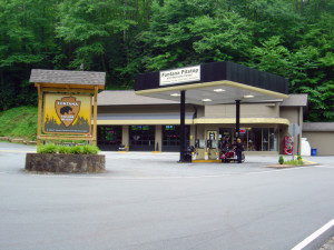
Fontana Village Pitstop

Cabins, rooms, camping, meals, Fontana is remote but has all you need.

♦♦♦ Fontana –  Fontana is a good option near The Dragon on NC 28. You ‘ll find camping, cabins, there’s are a decent number of rooms, good meals, a bar, all the comforts. The stretch of NC 28 that it sits on is one of my favorite rides curvy motorcycle rides. You’re only minutes from The Dragon.

– Fontana will serve you well if you want a remote location with all the amenities. Close to the Dragon.

♦♦♦ Robbinsville – There’s nothing but mountains and trees west of Robbinsville and well into Tennessee. The small town sits at the hub of several important roads. US 129 leads north to The Dragon, south to the Nanathala Gorge. The Cherohala Skyway meets it here just north of downtown, NC 143 takes you over the mountain to connect with NC 28. All the good biker roads lead here.

While the town of Robbinsville is small, it’s the biggest small town for miles. There’s a grocery store, a few restaurants, gas station / fast food, one big central chain motel, and lots of biker friendly options and businesses in the town. There are a couple good places to eat.  It’s not a convenient town for walking. There’s no booze here, it’s dry.  Motorcycle rentals in town.

– Robbinsville is the largest town in the area so it has the most to offer. It’s a good base when you want to travel light. Great rides in every direction.

deals-gap-resort-

Deals Gap Motorcycle Resort

♦♦ Deals Gap – Resorts, lodges, cabins, campgrounds are all available but limited. If you want to be as close to The Dragon as possible you’ll be pretty isolated from civilization. This is where you want to stay if you’ve come to focus on riding The Dragon. Do a couple runs through in the morning then head down to the Cherohala Skyway or cruise the lake on NC 28. Get in another run or two through The Dragon in the evening.

– If you want to get the full Dragon experience, stay at Deals Gap. There may be entertainment, night races in the parking lot. 

♦ Punkin Center – Located at the Tennessee end of The Dragon where TN 72 intersects, it’s an ideal spot for riding The Dragon / Cherohala Skyway loop ride. There is a popular motorcycle campground here, a restaurant, and a repair shop.

– If you’re looking for a motorcycle campground on the north side of the park, this one puts you on some of the best roads.  

♦ Townsend – Townsend gets you away from the congestion of Pigeon Forge and Gatlinburg, but you’re still on a pretty major road. It get’s you close to Cades Cove in Great Smoky Mountains National Park. Townsend is a good choice if you want to ride The Dragon, The Cherohala Skyway, and poke around the park. It’s a popular base camp for dual-sport riders doing the unpaved roads in Great Smoky Mountains National Park. Motorcycle rentals available in town.

– Townsend is a good base camp for dual sport riding. 

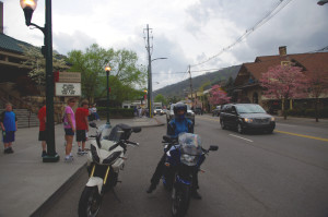
Gatlinburg-motorcycles

Tourist attractions in Gatlinburg.

♦♦ Gatlinburg / Pigeon Forge

The primary attraction of Gatlinburg and Pigeon Forge is they are so easy to get to. The primary downfall of Galtinburg / Pigeon Forge is everybody goes there.

There’s about 40 miles between the north entrance of Great Smoky Mountains National Park and the city of Knoxville, so this corridor has developed into a tourist vortex. Gatlinburg and Pigeon Forge host all kinds of attractions. There are lots of bargains on rooms and cabins. The downfall here is the tourist traffic and the scarcity of good motorcycle rides. The mountains quickly become valleys outside the park.

There may be some compelling reasons to stay in Gatlinburg and Pigeon Forge, but you’ll likely spend time riding around the park to get to some of the best rides.

– Stay in Gatlinburg if you’re looking for a deal or want a tourist expereince. Accept the traffic, enjoy the attractions, and learn the backroads that will get you through it all.

 Cosby – Cosby is at the “forgotten” eastern end of the park. You’ll find lots of campgrounds along the edge of the park, a couple motels near I-40, little else of note. This area is popular for the unpaved riding both in the park and out into the national forests.

Cosby is a good base camp for dual sport riding. 

————————————————————————————————
100 Great Motorcycle Rides mapin the Smoky MountainsYou can get a map of more than 100 Great Motorcycle Rides near the Smoky Mountains that will show you where the roads are hiding and how they link together into endless wonderful wanderings through the mountains.

Click Here Now
to see more about the map


If you enjoy photos of motorcycle riding in the Blue Ridge and Smoky Mountains, like MY BLUE RIDGE MOTORCYCLING FACEBOOK PAGE.Facebook

____________________________________________________________________

wayne busch - Smoky Mountain Motorcycle Rider.com

Wayne Busch

– Wayne Busch lives in Waynesville, NC, where he produces the most detailed and comprehensive and up-to-date motorcycle pocket maps of the Blue Ridge and Smoky Mountains to help you get the most of your vacation experience. See them here – AmericaRidesMaps.com

____________________________________________________________________

Impact of Government Shutdown on Smoky Mountain Bikers

Government Shutdown Predictions for Smoky Mountain Motorcycle Touring

Oct 2, 2013 – so you’ve got your Smoky Mountain motorcycle trip scheduled and you’re wondering “How does all this government shutdown nonsense affect me?” Here’s my best guesses for now –

The main impact will be around Great Smoky Mountains National Park. All the park facilities are now closed at the start of peak camping season. This includes River Road (TN 73). That’s going to displace a lot of people who will seek other accommodations and things to do on the north side of the park. Tourist traffic has already been building in Gatlinburg / Pigeon Forge, this will likely make it worse. It will also disperse those park tourists onto surrounding roads in the area. If you don’t have Map #8,  I’d avoid the area for a while, especially on the weekends. On the south side of the park, I’d expect increased congestion in Cherokee.

Foothills Parkway in Tennessee is Closed – The Tennessee Foothills Parkway is the most common route to approach The Dragon on the north side of Great Smoky Mountains National Park.  Most of the traffic will continue on US 321 to Maryville, then come west on 411, and south on US 129. If you have Map #8 look to using Walden’s Creek Road, then work over to Butterfly Gap Road, Flats Road, and Happy Valley Road. You just might find you like this route a lot better than the traditional tourist slog.

The Blue Ridge Parkway remains open for travel, but all facilities are closed including campsites. Some facilities and side roads had already been closed due to the sequester. I’d expect heavier traffic at the south end of the parkway between Cherokee and Asheville. Rangers will still be out, but routine maintenance may be postponed. Things are generally in great shape, so it shouldn’t be much of an impact. Be alert for rocks and limbs in the road with potential  decreased attention to maintenance. The Pisgah Inn south of Asheville is open.

The Dragon will likely see minor impact. I predict a small increase in car traffic as locals take the long way around rather than deal with the traffic on US 441 through the park, and some decrease in bike traffic as riders from the north go to other places rather than deal with the increased traffic on the surrounding roads. Adventurous tourists will look for other places to see.

Suggestions – Focus on the areas south and east of Great Smoky Mountains National Park. The Dragon and Cherohala Skyway will still be good options. Cherokee will probably be congested. Expect heavy traffic on US 64 from Franklin to Lake Lure.  It’s a great time to stray into north Georgia.

I have all these roads mapped out for you – http://americaridesmaps.com
____________________________________________________________________
wayne busch - Smoky Mountain Motorcycle Rider.com

Wayne Busch

– Wayne Busch lives in Waynesville, NC, where he produces the most detailed and comprehensive and up-to-date motorcycle pocket maps of the Blue Ridge and Smoky Mountains to help you get the most of your vacation experience. See them here – AmericaRidesMaps.com

Total Rider Tech Logo

Learn Total Control

Wayne is an advanced motorcycle instructor for Total Rider Tech teaching Lee Parks Total Control Advanced Rider Courses. Isn’t it time you looked into advanced rider training to ride more confidently and safely? It can transform your mountain riding experience.  Total Rider Tech

____________________________________________________________________
Dual-sport Motorcycle Rides in North Carolina and Tennessee

Dual-Sport Motorcycle Rides in North Carolina and Tennessee

Dual-sport Motorcycle Rides in North Carolina and Tennessee

Dual-sport Motorcycle Rides in North Carolina and Tennessee – over the rivers and through the woods!

As the adventure bike segment of the motorcycle market explodes, I get more and more requests for maps of unpaved dual sport rides. There are loads of them in the Blue Ridge and Smoky Mountains. Much of the mountainous area is National Forest or wildlife management land criss-crossed by unpaved graded roads. While I know of many good unpaved rides, and am often inclined to point my wheels down one, I don’t have a dual-sport bike to do the mapping from the saddle and that’s the only way I’ve found to accurately evaluate a good motorcycle ride – you’ve got to ride it.

Dual-sport Motorcycle Rides in North Carolina and Tennessee

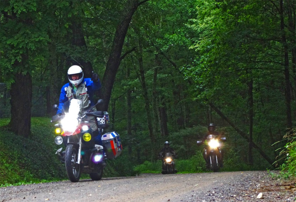
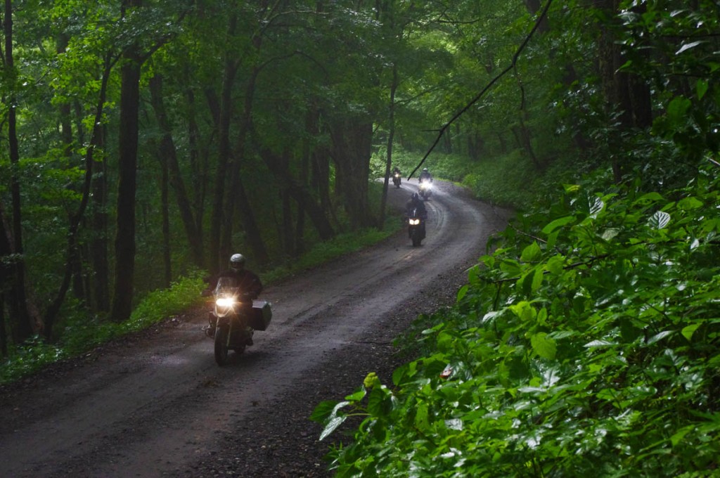
Dual-sport Motorcycle Rides in North Carolina and Tennessee – The roads were easy as we started out in the morning. Good warm up to let the group find it’s stride.

I‘ve been fighting the urge to get another dual-sport adventure bike because I’m afraid I won’t get anything else done – I love riding the wild back roads and trails. After this ride, I’ve got the fever again.

Dual-sport Motorcycle Rides in North Carolina and Tennessee

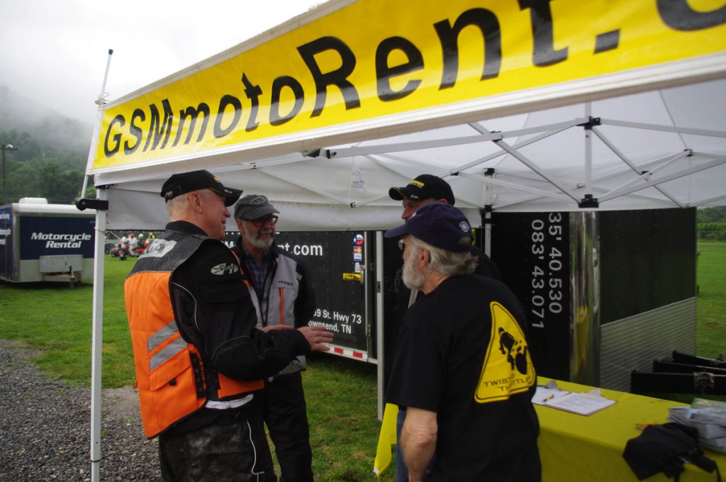
Dual-sport Motorcycle Rides in North Carolina and Tennessee – Lt. Dan from GSMmotoRent.com has a large fleet of dual-sport bikes in the heart of some outstanding riding.

When Lt. Dan from GSMmotoRent.com invited me to come along on a dual-sport ride with the group from the RoadRUNNER Magazine Event in Maggie Valley, I jumped at the chance. He had a spare KLR 650, the workhorse of this class of motorcycle, a bike I’d been wanting to ride for a long, long time.

Dual-sport Motorcycle Rides in North Carolina and Tennessee

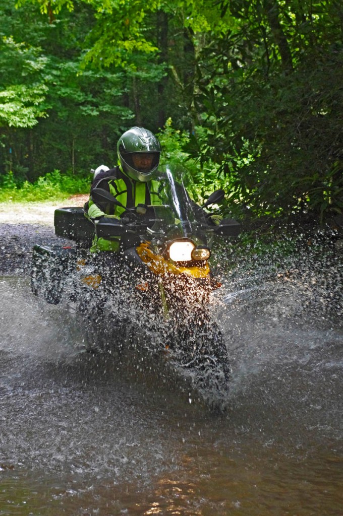
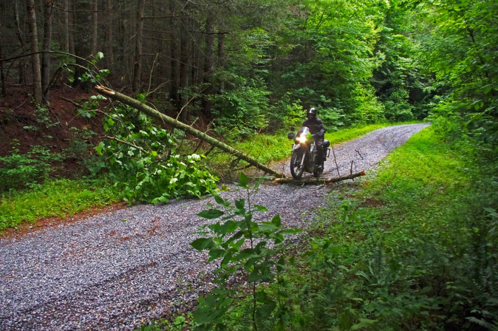
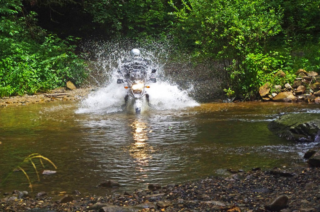
Dual-sport Motorcycle Rides in North Carolina and Tennessee – The trickiest riding for some wasn’t the logs, puddles, nor pot holes, but the thick deep gravel in some places.

We left Maggie Valley and made our way north on NC 209 to Fines Creek. From there we continued north to Max Patch Road and began the climb through the national forest capped by the 6000+ ft. high bald mountaintop. While it was wet with morning rain, the roads are pretty tame gravel and well maintained. Even so, they are plenty tight and twisty.

Dual-sport Motorcycle Rides in North Carolina and Tennessee

Dual-sport Motorcycle Rides in North Carolina and Tennessee – beautiful deep dark woods even when the sun poked though the clouds. So nice!

After playing around on some of the back roads near Max Patch, we emerged on Big Creek Road to take lunch in Hartford. As we were near the Interstate, a few riders had had enough of the unpaved challenge and headed back. The remainder were eager for more.

Dual-sport Motorcycle Rides in North Carolina and Tennessee

Dual-sport Motorcycle Rides in North Carolina and Tennessee – These roads are great for those on the big adventure bikes, though we also found a few more technical rides as the day wore on.

Heading south now, we followed TN 32 around the twisty northeast border of Great Smoky Mountains National Park, then continued into the park on Mt. Sterling Road when the pavement ended.

Dual-sport Motorcycle Rides in North Carolina and Tennessee

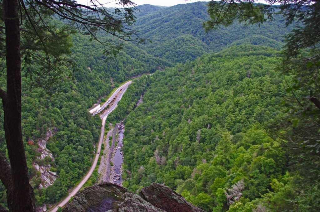
Dual-sport Motorcycle Rides in North Carolina and Tennessee – The view from Buzzard’s Roost is spectacular, but it helps to have a good guide like Dan from GSMmotoRent.com to find it.

We took a side road off Mt. Sterling Road to visit Buzzard’s Roost. A chin of rock juts out 1000 feet above the Pigeon River overlooking the gorge where Interstate 40 connects North Carolina and Tennessee.

Dual-sport Motorcycle Rides in North Carolina and Tennessee

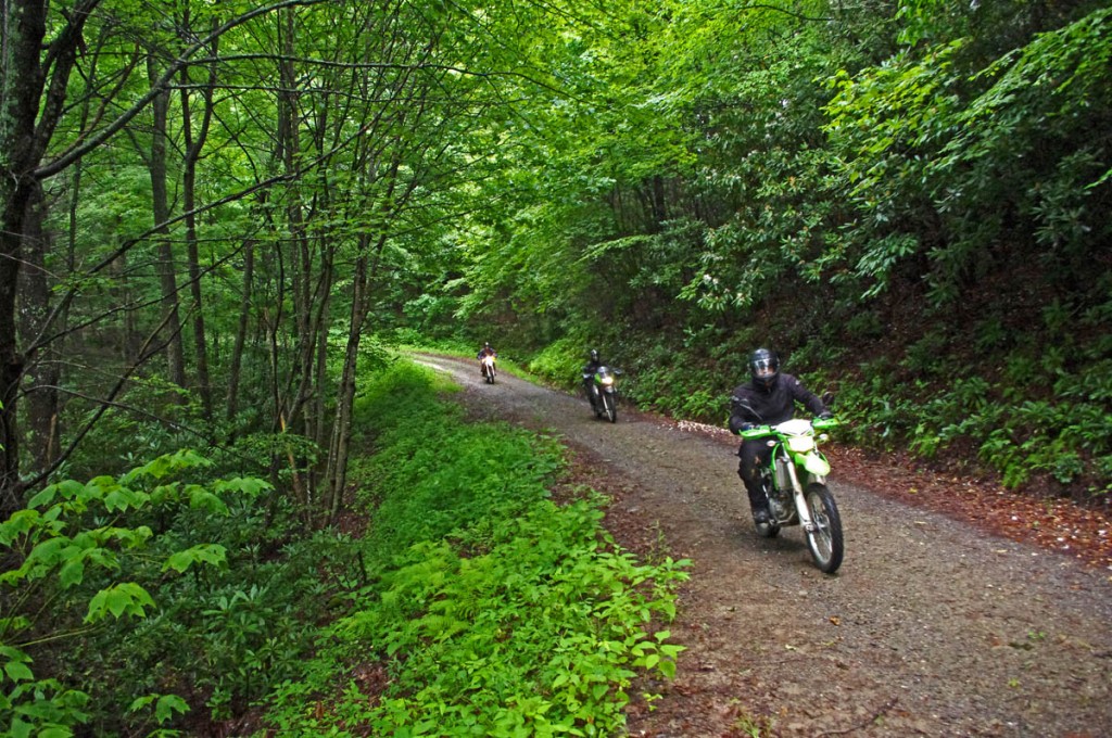
Dual-sport Motorcycle Rides in North Carolina and Tennessee – blasting along these back roads is a lot of fun!

We returned to the pavement when we passed Cataloochee Valley, home to the parks famous herd of elk. We covered more than 100 miles on unpaved roads. We crossed streams, logs, rocks, and gullies washed out by the heavy rains. It was wonderful.

Dual-Sport Motorcycle Rides in North Carolina and Tennessee

Dual-Sport Motorcycle Rides in North Carolina and Tennessee – I can’t wait to do this again! The next time you’re in the area, spend a day enjoying the cool refreshing rides through the woods.

If you’d like to challenge some of the best dual sport motorcycle roads in North Carolina and Tennessee, contact Dan at GSMmotoRent.com in Townsend, Tennessee. He has a great variety of dual-sport motorcycles and there are so many great roads for you to enjoy. Don’t forget to follow GSM MotoRent on Facebook – http://www.facebook.com/pages/GSMmotoRent-Dual-Sport-Adventures/57878901570

____________________________________________________________________
wayne busch - Smoky Mountain Motorcycle Rider.com

Wayne Busch

– Wayne Busch lives in Waynesville, NC, where he produces the most detailed and comprehensive and up-to-date motorcycle pocket maps of the Blue Ridge and Smoky Mountains to help you get the most of your vacation experience. See them here – AmericaRidesMaps.com

Total Rider Tech Logo

Learn Total Control

Wayne is an advanced motorcycle instructor for Total Rider Tech teaching Lee Parks Total Control Advanced Rider Courses. Isn’t it time you looked into advanced rider training to ride more confidently and safely? It can transform your mountain riding experience.  Total Rider Tech

____________________________________________________________________
How to Make a good Deals Gap Motorcycle Ride Better –

Adding these two roads to one of the four most popular Smoky Mountain motorcycle loop rides near the The Dragon at Deals Gap makes the least of them measure up to the others.

Photo - morning on the Cherohala Skway

Morning on the Cherohala Skyway. I'm parked on the state line between North Carolina and Tennessee.

Smoky Mountain / Blue Ridge motorcycle riders who flock to ride The Dragon at Deals Gap typically take in other rides when in the area. One of the best Smoky Mountain motorcycle rides is a loop through Vonore and Tellico Plains, TN to take in the Cherohala Skyway. Another popular circuit is to loop around Great Smoky Mountains National Park crossing through the heart of the Smoky Mountains on US 441. A third great loop ride links NC 28 at Franklin, NC to Nantahala Gorge via Wayah Road. All of these are great loop rides in the Blue Ridge with unique characters.

The fourth most popular ride is to take the Cherohala Skyway west to Tellico Plains, then go south on TN 68. You then use TN 123 / NC 294 to head east, and follow US 74 / 129 north through the Nantahala Gorge to return to The Dragon at Deals Gap. This loop ride starts out with the outstanding scenery and enjoyable sweeping curves of the 50 mile long Cherohala Skyway as it crosses the Snowbird Mountain Range of the Blue Ridge. It gets nice again once you enter the curvy sections a few miles south of Tellico Plains on NC 68. It’s gets better and better the further south you go, though NC 68 can carry a bit of traffic on weekends.

Photo - Field of the Woods

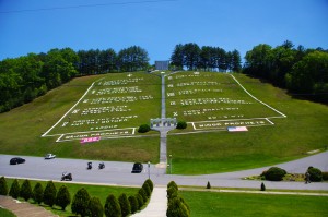
The 10 Commandments at Fields of the Wood - big enough God can read them

Once you turn east on TN 123 / NC 294, the ride is still pretty good, but the road opens up and the ride is not as scenic and challenging as you progress. Here’s how to punch it back up to outstanding.

Watch for Fields of the Wood, it’s the closest landmark to the turn off onto Hiawassee Dam Access Road. Fields of the Wood is worth a stop to see and a nice place for a break. Those with devout religious leanings will be inspired by the hillside with the ten commandments written out in stone, as well as numerous other Biblical icons and monuments. For those inspired more by hellacious and challenging roads, Hiawassee Dam Access Road is next leading to devilish twists and curves.

Photo - Hiawassee Dam

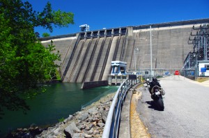
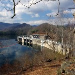
The Hiawassee Dam is a nice spot for a break.

Turn onto Hiawassee Dam Access Road to start the fun. You may encounter a little traffic approaching the dam on weekends as many come for boat access to the lake and river. Once past the dam, the excellent and challenging road continues a course around the west side of the lake. Turn right onto Joe Brown Highway when you reach the end of Hiawassee Dam Access Road.

Joe Brown Highway is hardly what any of us think of when the word “highway” comes to mind. This isolated and remote twisty two lane back road is packed with curve after curve and some pretty decent Smoky Mountain scenery, though you’ll be paying more attention to the road than the horizons. It’s a whole lot of fun, usually carries very little traffic, and may be the best section of the entire loop, a nice contrast to the sweeping curves of the Cherohala Skyway.

Photo - Nantahala Outdoor Center

The Nantahala Outdoor Center on the river is another great break spot with bathrooms, good food, nice views, and the place to arrange a river trip.

Joe Brown Highway runs you right through downtown Murphy, NC to intersect US 129 / 74 at the junction with US 64 East. Turn north to follow the four lane to Andrews where it funnels down to two lanes again for the ride through scenic Nantahala Gorge. You’re bound to run into traffic in Nantahala Gorge, but the scenery along the popular whitewater river makes up for it. Avoid the gorge on weekends when possible as the buses hauling rafters and kayakers tend to bottle things up.

Once through Nantahala Gorge, turn left onto NC 28 and back into the twists and curves to return to The Dragon at Deals Gap.

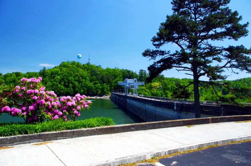
Photo - View from Hiawassee Dam Overlook

There are nice spots for a break both atop and below the Hiawassee Dam. The road runs across it then continues around the lake.

_______________________________________________________________________________
Wayne Busch
Wayne Busch – Cartographer
– Wayne Busch lives in Waynesville, NC, where he produces the most detailed and comprehensive and up-to-date motorcycle pocket maps of the Blue Ridge and Smoky Mountains to help you get the most of your vacation experience. See them here – AmericaRidesMaps.com 

New Map – The Best Motorcycle Rides SOUTH of Great Smoky Mountains National Park

Image - View of Map

Map #7 - The Best Motorcycle Rides South of Great Smoky Mountains National Park

I’m proud to announce the release of America Rides Maps latest compilation of great motorcycle rides in the Blue Ridge Mountains and the final map to complete a series of three maps which detail close to 200 good motorcycle roads surrounding Great Smoky Mountains National Park.

Map #7, The Best Roads South of Great Smoky Mountains National Park, covers the region west from Maggie Valley, North Carolina, to Tellico Plains, Tennessee, extending south to cross the borders into South Carolina and Georgia. More than 30 of the roads rate being listed as outstanding rides highlighted in red, and another 20 are shown as great connecting roads highlighted in blue to link them all together.  The Best Roads South of Great Smoky Mountains National Park includes a guide to 9 roadside waterfalls, numerous out-of-the-way gas stations, sights and attractions, and motorcycle friendly locations.

dragon-motorcycles

Motorcycles flock to ride the Dragon at Deals Gap

This is THE MAP for motorcycle riders making a trip down the Blue Ridge Parkway then on to the Dragon at Deals Gap.

It includes the final sections of the Blue Ridge Parkway into Cherokee, North Carolina, the popular 125 mile long Dragon /  Cherohala Skyway loop ride, the Nantahala River Gorge, Wayah Bald, the Cullasaja River Gorge, a surprising wealth of hidden back roads near Franklin, NC, and variations on rides surrounding the Dragon at Deals Gap few ever discover.

The Smoky Park Motorcycle Map Series includes –

Nearly 200 roads are described in this map package which weave through some of the highest mountains in the east, cross extensive scenic national forests and park lands, see dozens of roadside waterfalls, including every ride within Great Smoky Mountains National Park, it’s the most extensive and comprehensive collection of great motorcycle rides in this area ever assembled.


Photo by Jim Miller Photography

Photo by Jim Miller Photography - This area is so remote and wild you'll find hundred mile views with no evidence of human occupation to be seen.


“This map takes my best selling map, combines it with another, and adds new roads I’ve discovered to make the ultimate map for visitors to the Dragon at Deals Gap, it’s all you need!”

_______________________________________________________________________________
Wayne Busch
Wayne Busch – Cartographer
– Wayne Busch lives in Waynesville, NC, where he produces the most detailed and comprehensive and up-to-date motorcycle pocket maps of the Blue Ridge and Smoky Mountains to help you get the most of your vacation experience. See them here – AmericaRidesMaps.com 

Smoky Mountains Adventurous Spring Motorcycle Ride Photos

Photo - Soco view

Morning view on Soco Rd - Click on pics for LG view

15 minutes from home and already I was fighting the urge to jump off the motorcycle and start snapping pictures. It was a beautiful Smoky Mountain spring morning. Rounding every curve the canvas repainted another fabulous scene as I droned down from the Blue Ridge Parkway at Soco Gap towards Cherokee.

Photo - view from Clingman's Dome

Clingman's Dome view

Not a car on the road ahead of me, I let the bike stretch it’s legs through the curves effortlessly riding every last inch of rubber as my Triumph Tiger charged down the incline in pursuit of it’s prey.

Photo - view from Roaring Fork Rd

Roaring Fork Road - must be Roaring Fork!

It felt so good, all is right with the world when you’re on your motorcycle in the mountains. Wrapping around a rock face with the mellow grace of a cat arching it’s back, I flicked left to begin my plunge to the valley floor on the first of the new roads I’d see today.

Photo - hairpin curve on Alpine Rd

Alpine Rd - one of my newest favorites

How had I missed this road? I’ve bypassed it many times on my passages to Cherokee. It’s not like I haven’t studied the area and it’s so close to home. Yet when we came through on a motorcycle ride Saturday, a road I was vaguely familiar with suddenly jumped out at me and said, “Come back and take a closer look”.

Photo - Cherokee Orchard Rd

Cherokee Orchard Road Overlook

The clue  that tipped me off  was the name – “Old Soco Road”. It suggested I was riding the “new” Soco Rd (US 19). “Old” Soco Rd was the way things used to be. Sometimes these “old” roads are gems.

It was like riding off a cliff and I had to quickly adapt to the more primitive road surface. Gliding through turn after turn I delicately parachuted through the  loose gravel and the windblown debris that had rained down on the switchbacks on this third day of roaring mountain wind. April was coming in with a bang.

Photo - Old mill

I passed this old mill again today

So began a day that took me across Great Smoky Mountains National Park and out into the wilds to the north as I clicked off road after road on my search for the best motorcycle rides. The afternoon would bring me into a violent storm navigated on what were now familiar byways through seemingly remote and isolated hidden valleys where angry streams threatened to crest their banks and wash across the pavement.

Photo - Tapoco Dam

The Dam at Tapoco

Looping around the west side of Great Smoky Mountains National Park near the end of the day, I’d arrive at Deals Gap to find the motorcycle resort closed due to the lack of electricity as a wind blown forest fire raged up a flank of the park consuming the lines and felling trees in it’s path. I’d squeeze through a gap between the fire trucks parked on a back road to ride through the smoke and smolder where crews fought the flames and mended the wires.

As the day drew to an end the lightening and rains caught up to me again, followed me home bringing the fury of the storm with them, and toppled trees that would have me without power for the next few days.

I’ve lost a couple days of work and will now double-down to make it up. With each new day the grays and browns of winter give way to the soft pastel greens of emerging leaves as spring wrestles the cold grip from the old season to bring the warm blooms of the new.  The fuse is lit for the explosion of color. It’s time to point your wheels towards the high country, its ready for you.

_______________________________________________________________________________
Wayne Busch
Wayne Busch – Cartographer
– Wayne Busch lives in Waynesville, NC, where he produces the most detailed and comprehensive and up-to-date motorcycle pocket maps of the Blue Ridge and Smoky Mountains to help you get the most of your vacation experience. See them here – AmericaRidesMaps.com 

My Search for the Best Mountain Motorcycle Rides Never Ends

Photo - Maple Springs Observation Point

The Maple Springs Observation Point - accessed from Santeetlah Rd

Friday’s search for great Smoky Mountain motorcycle rides, which culminated with a spirited cruise on the Cherohala Skyway, was one of those days that might be looked on as not so productive. It’s not that I didn’t catalogue some good mountain motorcycle riding roads, I added several which will appear on my new map of the area. In my quest to leave no stone unturned, much of the 400 miles I covered was spent on roads which only the most adventurous would bother to travel. Still, there are sights and places some may wish to see, and I’m determined to find as many of them as I can.

Photo - Cherokee National Forest View

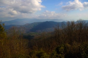
View from the Maple Springs Observation Point. I was told you can see 5 states from this spot.

Considering the number of motorcycle riders who are drawn to the area by such notable roads as The Dragon at Deals Gap, the Cherohala Skyway, The Tennessee Foothills Parkway, NC 28 (now renamed “the Moonshiner 28“), finding others that compare in quality is pretty much futile. These are some of the best motorcycle rides in the world. I’m not holding my breath thinking I’m going to discover the next great classic motorcycle ride. So why go to all this effort?

Photo - Santeetlah Dam

Quiet morning at the Santeetlah Dam

There are probably millions of motorcycles that pass through here each year. In most cases, they come, they ride the famous roads, get the t-shirt, then they’re gone to other places following the crowds. It’s the notable roads that get all the attention. Once experienced, it’s back on the four lane or the congested tourist arteries to reach the next great spot. You can rack up a lot of miles playing connect-the-dots, though those droning plods on the connections are the price you pay to reach those popular motorcycle rides.

Photo - Bald River Falls

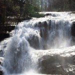
Bald River Falls

It doesn’t have to be that way. I’m filling in the gaps between the famous motorcycle rides with the best quality rides I can find so connecting the dots is as much of an adventure as the roads you’re trying to reach. Where others might show you one good way to get from point A to point B, I look for all the best ways.

Photo - Cherohala Skyway View

View from the Cherohala Skyway. The Smoky Mountains were especially smoky today and I'll get more photos another time.

Who want’s to spend their time on the 4 lane or in bumper to bumper tourist traffic when there are so many empty two lane scenic and challenging mountain roads that get bypassed? It’s often as simple as crossing over to the next valley to escape the congestion. One little turn can make the difference between cruising along with the wind in your face or cursing the throngs of dawdling codgers, gawking sightseers, lumbering RV’s, and belching commercial trucks struggling up the grades to deliver their wares.

Photo - Motorcycles on the Cherohala Skyway

Bikes on the Cherohala Skyway

I’ve catalogued more than 100 good motorcycle roads so far surrounding Great Smoky Mountains National Park. I’m not done yet. Some of these are outstanding rides. Others will satisfy those looking for adventure. All of them avoid most everyone else who’s come to enjoy the Smoky Mountains just like you and take you to the places they’ll never see while getting you where you want to be.

Keeping you going is what keeps me going. I’m closing in on finishing the map of the Best Motorcycle Rides North of Great Smoky Mountains National Park. Stay tuned and see what I discover. It’s all for you. (Click on the photos for the large versions)


http://www.youtube.com/watch?v=xBbQfR2GqMc

_______________________________________________________________________________

Wayne Busch
Wayne Busch – Cartographer
– Wayne Busch lives in Waynesville, NC, where he produces the most detailed and comprehensive and up-to-date motorcycle pocket maps of the Blue Ridge and Smoky Mountains to help you get the most of your vacation experience. See them here – AmericaRidesMaps.com 


Smoky Mountain Motorcycles Everywhere with Spring Like Weather

Motorcycles were everywhere in the Smoky Mountains this weekend with the arrival of spring-like weather. Temperatures in the 60’s were a welcome relief from this unusually harsh and snowy winter that hasn’t given us motorcycle riders much of a break since November.

Photo-Jackie-enjoys-smoky-mountains-view-on-motorcycle

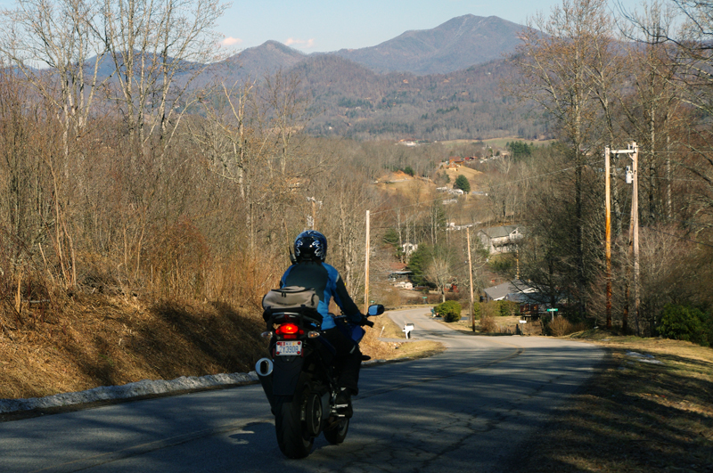
On a back road near the border of Great Smoky Mountains National Park. Looking north towards Tennessee.

Though snow still lingered in many places, few could resist the urge to fire up the bike and get out to enjoy the fabulous mountain motorcycle riding near Great Smoky Mountains National Park. The Blue Ridge Parkway remains closed for the season but that’s of little consequence to motorcycle riders here who enjoy a wealth of two lane back roads that stretch to every horizon.

Photo-Jackie-rides-her-motorcycle-near-Great-Smoky-Mountains-National-Park

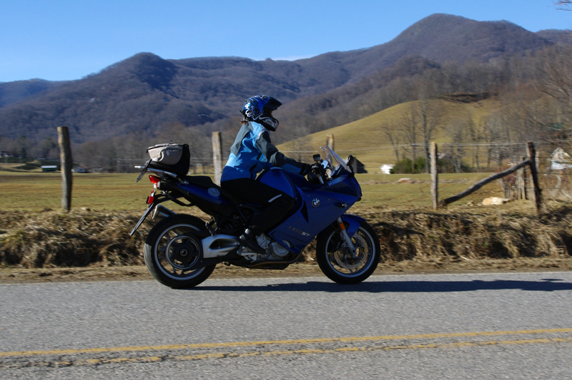
Jackie rides by with Purchase Knob in Great Smoky Mountains National Park in the background. She loves her BMW F800 ST.

It’s about time we had a break in the weather (hope you did too). In a normal winter (is there such a thing anymore?) the cold spells are broken up by these warm ones and year round riding is pursued by many happy motorcycle enthusiasts throughout the Blue Ridge Mountains.

Photo-Jackie-rides-her-motorcycle-near-Great-Smoky-Mountains-National-Park

Clear blue skies and warm winter sunshine had motorcyclists out on all the back roads.

We shot more video for the NC 215 Winter Project but mostly we just made the best of this nice break. We played around on roads through Canton, Bethel, Maggie Valley, made some loops out into the Pisgah National Forest, and went into Waynesville for lunch. It was packed with people in T-shirts enjoying the great food and shopping Waynesville’s historic and quaint downtown is known for.


NC 215 – A Great North Carolina Motorcycle Ride (teaser)

Sure there will be more cold weather to come before spring. I’m hoping things will get back to normal and we’ll have more great days of riding like these. This was great!

_______________________________________________________________________________

Wayne Busch
Wayne Busch – Cartographer
– Wayne Busch lives in Waynesville, NC, where he produces the most detailed and comprehensive and up-to-date motorcycle pocket maps of the Blue Ridge and Smoky Mountains to help you get the most of your vacation experience. See them here – AmericaRidesMaps.com 

Making Gatlinburg Tolerable for Motorcycles (1 photo)

Gatlinburg. I cringe just thinking about the traffic, congestion, and development.  It’s one of the last places I consider when thinking of good motorcycle riding. Today, my outlook may be changing.

Photo-US-321-north-of-great-smoky-mountains-national-park

US 321 north of Great Smoky Mountains National Park. 90% of the east-west traffic between I-40 and Gatlinburg will be on this road.

I’m closing in on the GatlinburgPigeon ForgeSevierville area, mapping west from I-40 in search of the best motorcycle rides. I’ve already found my best route to reach the city limits avoiding the traffic on US 321 along the north edge of Great Smoky Mountains National Park. A few back roads linked together turn the chore of crossing the foothills downright enjoyable but now I’m getting into the towns.

Even so, I found a couple nice shortcuts today to skirt around the tourists, and there are number of promising roads waiting. The short winter days and roads strewn with road salt, grit, and lingering icy patches limit the miles I can cover efficiently before I turn tail and head home.

I shouldn’t complain about the traffic as it’s the dead of winter. Dollywood is closed. Much of Great Smoky Mountains National Park is closed. The memories of what happens once things warm up give me chills. I won’t quit until I find the best ways to go.

_______________________________________________________________________________

Wayne Busch
Wayne Busch – Cartographer
– Wayne Busch lives in Waynesville, NC, where he produces the most detailed and comprehensive and up-to-date motorcycle pocket maps of the Blue Ridge and Smoky Mountains to help you get the most of your vacation experience. See them here – AmericaRidesMaps.com 

A Winter Day Searching for Great Smoky Mountain Motorcycle Rides

The Smoky Mountains of the Blue Ridge aren’t waiting for the official arrival of the solstice – winter time is pretty much here and now. Last week was messy, wrapping up with a deluge of rain.  When the weather broke a little yesterday, I finally got out to do some motorcycle riding. I waited for the sun to get high enough to minimize any icy patches on the road, then set out on a cold and mostly overcast day. It’s good that I did. It looks like we’re in for a cold wet stretch of dismal gray skies and the constant threat of rain or snow over the next few days. It’s hardly the kind of winter weather that inspires one to go dashing over the river and through the woods on your motorcycle no matter how much Grandma wants to see you. When the skies clear, you shouldn’t chance missing the opportunity to get out and ride. The good riding days will be more and more rare.

Photo - morning clouds bring us snow

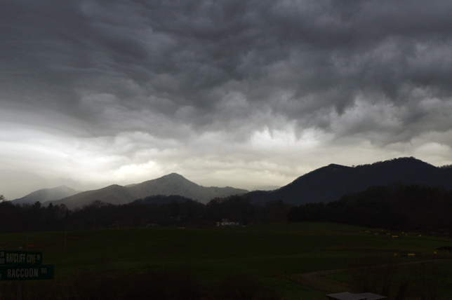
After yesterdays break in the weather, clouds are moving back in this morning. Rain will turn to snow tonight, but not a significant amount. Blustery for the next few days.

I spent the afternoon prospecting for great motorcycle rides near Hendersonville, Mountain Home, Pisgah Forest, and Mills River. I’d not paid this area much attention before as it was not a piece of real estate previously included in one of my motorcycle maps.  There’s relatively high traffic and congestion around here and I tend to avoid going through, but I’m already thinking about the Asheville Bikefest in the spring and I want to become more knowledgable of this nearby area. It turns out there are a number of nice roads passing through it and I managed to locate and explore several good new ones I can now recommend as more enjoyable alternatives to the main roads.

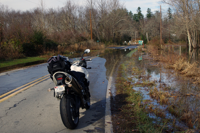
Photo - flooded road near Mills River

This area got hammered by recent heavy rains and I forded a few flooded roads this afternoon. While some were several feet deep yesterday and some cars got stranded, the water was only inches deep today.

Located south and slightly west of Asheville, the mountains in this area are not as high as those to the north in the Pisgah Forest. There are a number of rivers which flow through here, some farmland, a few high end neighborhoods, and some rugged and forested areas like the Dupont Forest with it’s many waterfalls. I -26 runs north-south just a few miles east and the border with South Carolina in only minutes away. It’s a pretty area, but the mountains of the Pisgah Forest and the Blue Ridge Parkway to the north overshadow it.

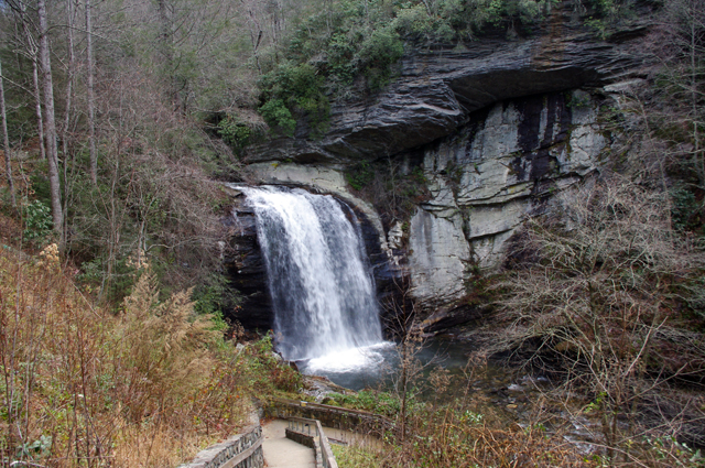
Photo - Looking Glass Falls

I commuted via US 276 from Waynesville to Brevard to reach the area. No ride on US 276 is complete without a stop at Looking Glass Falls.

The areas I have left to scout for this map revision (in progress) are scattered across 4 states. I’ve still got to press a little further into South Carolina then sweep west into the corner of Georgia to look at one potentially good road. The bulk of the remaining riding is in Tennessee, just north of Great Smoky Mountains National Park. I’ll need two really good days to thoroughly re-explore that area.

If the weather doesn’t break soon, I’ll start working on the next map, the companion to this one. I’ve got plenty to occupy my time. Still, I’d rather be out riding.

_______________________________________________________________________________

Wayne Busch
Wayne Busch – Cartographer
– Wayne Busch lives in Waynesville, NC, where he produces the most detailed and comprehensive and up-to-date motorcycle pocket maps of the Blue Ridge and Smoky Mountains to help you get the most of your vacation experience. See them here – AmericaRidesMaps.com