Motorcycle Friendly Lodging – Gear Head Inn near Bryson City, NC

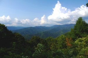
photo-blue-ridge-parkway-view-big-witch

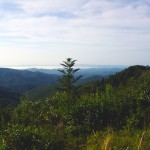
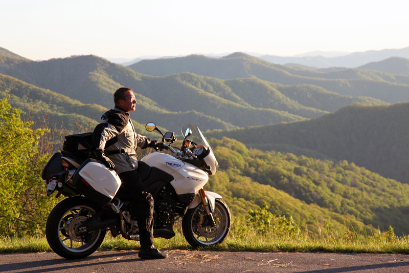
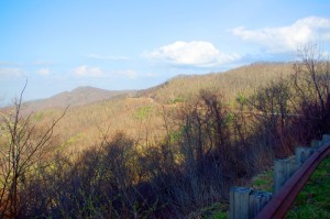
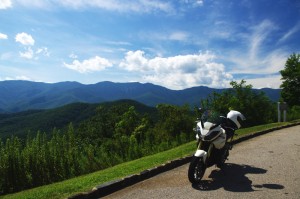
View form the Blue Ridge Parkway this afternoon - Big Witch Overlook near Cherokee

Another great motorcycle friendly place to stay in the Smokies and I got you another discount! Read on…

A gorgeous afternoon on the Blue Ridge Parkway with clear blue skies, amazing long range views, and those wonderful, wonderful curves, provided a stark contrast to the touristy mess that is Cherokee as I came off the parkway, passed through town, then pointed my wheel west on US 19 towards Bryson City, NC.

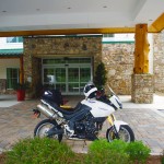
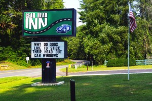
As soon as you’re out of town the pleasant green returns and two lane US 19 winds its way along the pretty Oconoluftee River for several miles as you leave the Reservation. It was easy to spot the Gear Head Inn sign and I pulled into the quiet spot cradled in the hillside along the road.

photo-sign-gear-head-inn

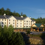
The Gear Head in Near Bryson City, NC

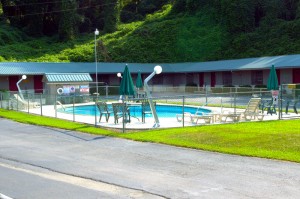
The first thing that struck me was how fresh everything looked. The green metal roofs looked new, as did the paint, in fact everything showed it had been resurrected and restored to a standard that exceeds anything I’d seen in the surrounding properties. The lawns were well tended, the pool sparkled, and the first impression is that the owners have put a lot of time and effort into this making this motel a labor of love. It shows.

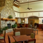
Jim was finishing up the last of the renovations to the spacious lobby and the room was both inviting and welcoming. Mary met me at the door and invited me in.

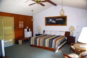
photo-room-gear-head-inn

The rooms are huge at the Gear Head Inn

The cold glass of spring water she brought me was welcome on this hot late summer afternoon, and I spent some time getting to know them and finding out what they had to offer the motorcycle vacationer.

The motif reflects Jim’s passion for performance automobiles, and while he’s primarily a car guy at heart, I think any performance vehicle gets his motor running and he loves the motorcycle visitors. They’ve designed this place for people who love their rides, two wheels or four, and want a place where car and motorcycle enthusiasts feel at home. It’s a great place for people who frequent the numerous custom car and motorcycle shows in the area.

photo-pool-gear-head-inn

The pool - note the lights

Was I surprised when Mary showed me a room! Jeez, they are huge! Totally out of character from what you typically find in these smaller roadside motels. Must say I’m impressed.

They’ve got a bike cleaning station waiting, a nice fire pit centrally located for sharing those stories about the days ride in the evening, and nice level paved parking set well back from the road. Mary even knew of a roadside waterfall I’d yet to discover and she shared its secret location with me – sorry Mary, that was a mistake, I’m a blabbermouth and I’ll be checking it out ASAP (ask her about it).

They’ve got a few motorcycle groups coming in over the next couple weeks, but would love to see a few more. As an incentive, they’re offering a 10% discount through December if you tell them I sent you or bring in one of their cards I’ll be sending out with all America Rides Maps orders this fall.

PS – take a look at the lights by the pool – (They’re giant gear shift levers – how cool!)

Gear Head Inn


_______________________________________________________________________________

_______________________________________________________________________________

Wayne Busch

Wayne Busch - Cartographer

Total Rider Tech Logo

Learn Total Control

– Wayne Busch lives in Waynesville, NC, where he produces the most detailed and comprehensive and up-to-date motorcycle pocket maps of the Blue Ridge and Smoky Mountains to help you get the most of your vacation experience. See them here – AmericaRidesMaps.com

Wayne is an advanced motorcycle instructor for Total Rider Tech teaching Lee Parks Total Control Advanced Rider Courses. It’s time you looked into advanced rider training to ride more confidently and safely, it will change your mountain riding experience. It worked so well for me I became an instructor! Total Rider Tech

_______________________________________________________________________________

Why so many great motorcycles rides in the Blue Ridge & Smoky Mountains?

Why are there so many great motorcycle rides in the mountains of the southeast? It’s a combination of geography, history and climate.

photo-black-mountains

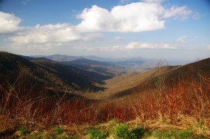
One of my favorite Blue Ridge Parkway overlooks of the Black Mountain Range - highest in the east.

Geographically, the Blue Ridge and Smoky Mountains are very, very, old. Over the eons of time mountains once taller than Everest have weathered, eroded, and subsided to where their heights never much exceed 6000 feet in elevation. Compared to the lofty Rocky mountains in the midwest and the great Sierra Range on the far coast, those in the east are half the size.

While those western mountains soar to dramatic heights, it’s not without a cost. The lower elevations of the Blue Ridge Mountains make them accessible in every season. The softer, gentler topography of the mountains of the east makes building and maintaining roads to connect the valleys and towns more feasible.

photo-penland-post-office

Post office, Penland, NC - the Blue Ridge Mountains are rich with historic sights waiting to be discovered on your rides

History favors the mountains of the east as well. Settlement of our country began on the east coast and gradually moved inward as the population grew. Hill by hill, valley by valley, one small settlement at a time, the trails leading to them became the roads we now enjoy. More people, more time, more roads to connect them all together.

Finally there’s the climate, which is heavily influenced by altitude. The mild wet climate of the east promotes the growth of the dense forests and makes growing crops and farming much easier. The high dry desert climate of the west holds sparse vegetation, harsh conditions, and long cold winters.

Photo - morning on the Cherohala Skway

View from the Cherohala Skyway in early March - mild climate means year round riding in the Blue Ridge Mountains

Life gets even tougher as you go up into the high mountains of the west. Crops can’t grow at the extreme elevations, and were it not for mining and timber, those vast western mountains would be even less populated than they are now. Fewer people means fewer roads in general, and building and maintaing those that pass through the high places is much more difficult and costly.

Finally, the development of the Interstate Highway system works to favor of the high quality of the motorcycle rides in the east.  As more people used them to move into the west, the fewer local roads and passes there became more crowded. More people on fewer roads, many of which open for only part of the year, means more congestion and traffic in the west.

Photo-Charlies-Creek-Rd

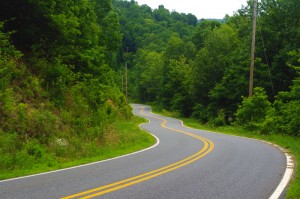
Charlie's Creek Rd - typical of the wonderfully empty and inviting rides that abound in the Smokies

In the Blue Ridge and Smoky Mountains, when the traffic moved to the Interstate Highways, it relieved the pressure on the back roads. One of the greatest pleasures of riding a motorcycle in the Blue Ridge Mountains is the absence of traffic. The selection of two lane, empty, winding roads through beautifully scenic and historic places just never seems to end.

Recently back from my motorcycle touring in the mountains of California, then Colorado, my appreciation for the bounty of great motorcycle rides in the Smoky and Blue Ridge Mountains is refreshed. While I loved the dramatic change of scenery, the vast distances and scale of things to the west, one thing became crystal clear –

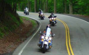
Photo-motorcycles-on-parkway

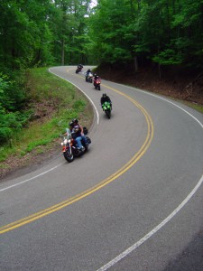
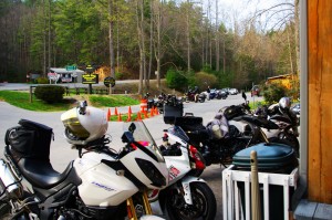
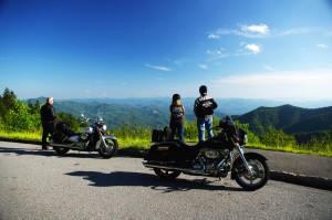
Bikers pause to admire the stunning views in the Smoky Mountains

Out west, you are on a mountain. It’s a harsher, more extreme landscape, you are a temporary interloper. In the Blue Ridge and Smoky Mountains, you are in the mountains. They cradle and surround you, it’s a comfortable and welcoming environment.

I enjoy my travels and motorcycle rides in other places, but there is simply nothing which comes close to the quality and quantity of outstanding motorcycle rides right in my back yard. While lots of bikers pay a visit, I doubt they much scratch the surface of the gold mine of motorcycle riding that exists here. I know, I’ve mapped hundreds of these great motorcycle rides, thousands of miles of two lane twisties, it’s what I do for a living.

Photo-motorcycles-on-the-dragon

Some roads, like the Dragon at Deals Gap are well known - a wealth of others await your discovery!

Half the population of the US lives within a days ride of the Blue Ridge and Smoky Mountains. It’s an easy trip to get here. It’s affordable and convenient. The motorcycle rides are beautiful, scenic, challenging, and the mountains are full of roads that thrill the motorcycle rider, more than can be visited in a season, let alone a single motorcycle vacation tour.

I’ve said it before, and continue to preach – “There are more great motorcycle rides in the Blue Ridge and Smoky Mountains than anywhere else”.  

Why not start planning your motorcycle trip right now?

Still need convincing? Visit www.AmericaRidesMaps.com to see just how many great roads there are waiting for you!

_______________________________________________________________________________

Wayne Busch

Wayne Busch - Cartographer

Total Rider Tech Logo

Learn Total Control

– Wayne Busch lives in Waynesville, NC, where he produces the most detailed and comprehensive and up-to-date motorcycle pocket maps of the Blue Ridge and Smoky Mountains to help you get the most of your vacation experience. See them here – AmericaRidesMaps.com

Wayne is an advanced motorcycle instructor for Total Rider Tech teaching Lee Parks Total Control Advanced Rider Courses. It’s time you looked into advanced rider training to ride more confidently and safely, it will change your mountain riding experience. It worked so well for me I became an instructor! Total Rider Tech

_______________________________________________________________________________
Central California vs. Smoky Mountain Motorcycle Rides

Photo-Santa-Barbara-view

Santa Barbara - coast & mountains

Earlier this year some magazine came out with a list of top 10 motorcycle rides. The Blue Ridge Parkway made the list. The Dragon at Deals Gap made the list. Others had me wondering what criteria they used to judge them.

I’ve been all across the US and I’m convinced the best motorcycle riding is in the Blue Ridge / Smoky Mountains, but I’m trying to keep an open mind. When the opportunity came to visit Santa Barbara on the California coast,  I made arrangements to insure I’d explore central California by motorcycle to see how west coast mountain riding compared to home sweet home.

Photo-CA-150

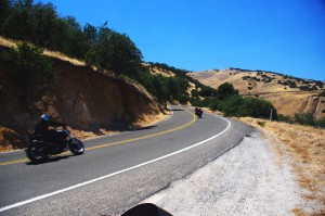
Nice section of CA 150 near Ojai

I’ve previously been on sections of the Pacific Coast Highway. It’s fabulously scenic, but there’s not a whole lot about it that drives me to want to carve through it on a motorcycle to get the most out of the ride. I remember too much time plodding along behind duffers with lines of cars behind them, not rolling on the throttle to course through the curves and drop a knee towards the pavement. I did ride the Ventura Highway several times, and that Eagle’s song jumps into your mind as soon as you see the sign.

My explorations this trip would be through central California, leaving the congestion of the coastal roads behind for the more challenging mountain passes. Unfortunately, this required time-wasting commutes on the expressway to reach them.

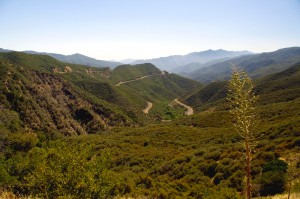
Photo-view-from-CA-33

You can see the Channel Islands from atop CA 33

The highlight of all that highway riding was experiencing lane sharing when traffic backed up, which it frequently did. Not for the meek, the skinny Ducati sport bike I was on was perfectly suited for darting between the lines of slower cars, flitting into every hole that opened, and filtering through the traffic.  Surprisingly, the cars and trucks made room for you to pass. I guess it beats having a speeding bike scrape along your car. It was fun and I felt like I was given a free pass to cheat at the game.  I think we need more lane sharing in the US.

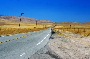
Photo-Ca-58

CA 58 a long, lonely ride to reach the twisties

I was a little disappointed to find the rides out to reach the mountain passes long and quite tame. While there was less traffic, it’s still far busier then you’ll find secondary roads in my Blue Ridge Mountains back home.

I first went south from Santa Barabara to Carpenteria, then headed inland to Ojai. Most of the towns are pretty cool, they look like great places to visit, but not what I’d come to do.

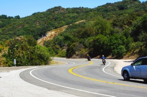
Leaving Ojai, my first run across the mountains on CA 33 had me feeling more at home. CA 33 is a good long run with curves that reminded me more of the Cherohala Skyway then the Dragon– a little more open and sweeping in comparison to the tight and technical curves I so enjoy back home.

The Ducati 848 made enjoying the canyon rides at a spirited pace easy. While the suspension was set up way to stiff for my liking, it always provided as much traction as I asked for, the bike ran the curves like it was on a rial. It was a challenge to keep from hitting triple digits when the road opened up, a challenge I failed many times.

Photo-bikes-on-CA-58

A long twisty section makes CA 58 so great

Once over the mountains I came down into the oil fields and farmlands near Maricopa. I then headed north through the desert where temps were just shy of 100 degrees to pick up the next great ride near McKittrick, CA 58. Fortunately, I’d topped up the tank as the “No services next 70 miles” signs appeared. CA 58 was another outstanding ride through high open mountain passes, great curves, and  a whole of of fun. Lot’s of bikes on this ride, it’s a great one so long as you’re up in the mountains. Once you come down, things straighten out again. I was reminded of the midwest where you ride a road that runs like an arrow to the horizon for miles and miles until you come to a 20 mph right angle turn to do it all over again and again.

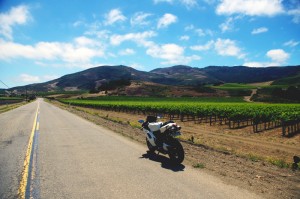
photo-wine-country

Cruising through wine country on Foxen Canyon and Santa Rosa Rds

I got bored on these long straight runs and after a while the speed crept up and up until I was playing a game to see if I could launch the bike off the hilltops as a the Ducati stretched it’s legs out and sang at the top of it’s booming baritone voice. I looped back through Santa Margarita then limped into San Luis Obispo with the reserve light crying out for a drink of fresh petrol. I wasted a bit of time looking for gas as every station was flagged off with yellow tape. They were all getting some kind of service done and I was running on fumes when I finally found one that had one bank of pumps in operation. I waited my turn in the long lines that had formed, then headed south on the freeway to return home.

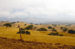
Photo-coastal-fog

The coastal fog travels well inland and persists till after noon - Foxen Canyon Rd

The next day I headed north this time, taking CA 154 through the dense morning fog that rolls in off the ocean. My destination was Foxen Canyon Rd, a decent ride, but not as challenging as those I’d previously been on. Most of this day was in wine country and it was more scenic then I’d seen on the east side of the mountains. I worked my way from Santa Maria to Lompoc, then found a nice ride on Santa Rosa Rd. Passing through Solvang, I returned to Santa Barbara on CA 154, then got on the freeway and went back south to Carpenteria to make a few more runs on CA 33.

So how do the California motorcycle rides I was on compare to the Blue Ridge & Smoky Mountain motorcycle rides I know so well?

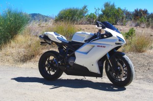
Photo-Ducati-848

The Ducati 848 - a precision guided missile - too much for all but the best riders

While the California rides were longer, so were the distances between them – they stood in isolation. Here in the Smokies, you finish one great road to continue your motorcycle ride on the next. You spend far more time in the nice sections and finding a long straight stretch of road means you made a wrong turn and left the mountains. I missed the green trees, the rushing mountain streams, the little waterfalls around the bends. The California countryside is dry, if not desert, close to it. Towns are much further apart, and you’ve got to pay attention to gas stations – when in doubt, top it out. You may have a long ride before you find another.

Photo-oil-derricks

Sometimes there are more oil derricks than trees

Many of the California roads were rough and bumpy – a patchwork of asphalt and concrete layer upon layer. I thought we had some rough rods, but I’m beginning to think we don’t have it so bad after all.

In the same amount of area I covered to reach just a few great motorcycle rides in California, there would have been a hundred or so in the Smokies and never  a 4 lane road or highway needed. I continue to believe there are more great motorcycle rides in the Blue Ridge and Smoky Mountains than any other area of the country.

To quote the now ex-governator, “I’ll be back”. Admittedly, I’ve barely touched the huge state of California. It’s a nice contrast to the motorcycle rides we have back home in the Smoky Mountains and makes me appreciate how great we’ve got it back east.

_______________________________________________________________________________
Wayne Busch
Wayne Busch – Cartographer
– Wayne Busch lives in Waynesville, NC, where he produces the most detailed and comprehensive and up-to-date motorcycle pocket maps of the Blue Ridge and Smoky Mountains to help you get the most of your vacation experience. See them here – AmericaRidesMaps.com 

Motorcycle Friendly Places – Hampton Inn & Suites, Sapphire, NC

photo-US-64-view-Cashiers

One of my favorite views is just 10 mins from the Hampton.

Few places rival the beauty surrounding Sapphire, NC. The small town and those surrounding it host some of the most expensive real estate in the Blue Ridge Mountains. Flanked by massive granite balds, host to the Cullasja River Gorge with it’s many roadside waterfalls, and nestled amongst the wilds of several national forests with views that will take your breath away, the area is laced with outstanding motorcycle rides.

Photo-view-from-NC-215

Above the clouds on my morning ride

On any weekend, 2 lane US 64 throbs and buzzes with motorcycles who come to play on the wonderfully twisty and scenic roads. Of course other tourists come as well, and US 64 rarely gives the motorcycle rider the freedom to enjoy its serpentine turns to full delight as they insist you share the road. Few tourists ever venture off the main drag though, and the many back roads which course over the mountains and along the valley streams give the biker what he really came for – great rides with outstanding views devoid of traffic.

Photo-Hampton-Inn-Sapphire-NC

Hampton Inn & Suites, Sapphire, NC

Sitting in the heart of all this, the Hampton Inn & Suites in Sapphire makes an ideal place to base out of for an enjoyable stay while exploring all the region has to offer. Level parking, set back from the road, and close to good dinging and other amenities, the Hampton provides a quiet and relaxing place with a decor and atmosphere that reflects the quality of the surrounding area. I toured 3 different styles of room each of which deserves the descriptor – “posh”. I would be very happy to stay in any of them, it’s the kind of place I seek out in my travels.

Photo-lobby-at-hampton-inn-sapphire-nc

A comfortable place to gather and relax

It looks like an ideal place for those groups of motorcycle riders looking for a time they’ll remember fondly and come back to. 2 meeting rooms are available. The lobby is spacious and inviting, a good place to gather. All the amenities are at hand.

Photo-room-at-hampton-inn-sapphire-nc

Ride hard, rest easy.

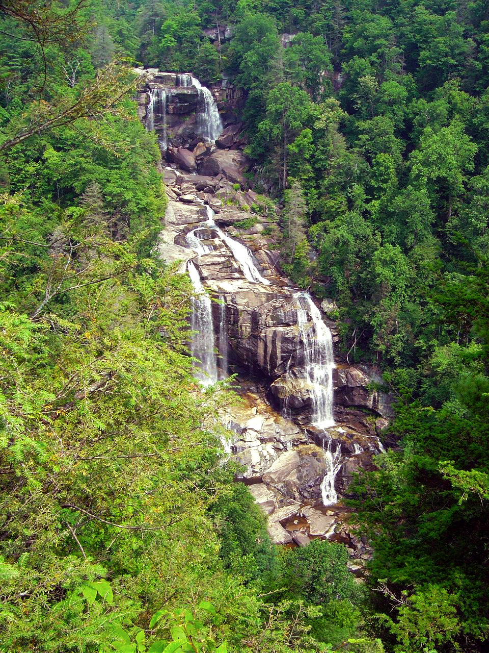
The greatest thing about the Hampton is location. Roll out the driveway and you’re on the ride. Go west through Cashiers and Highlands to ride Wayah Bald and the Nantahala Gorge. The roads to the north – well, every time I go though there I come back thinking I don’t get that way often enough, they are so nice. Head east, and you enter my favorite area in all the mountains, home to some of the best rides I know of. To the south, the twisties which lead into South Carolina are outstanding. Whitewater Falls,

Photo-entrance-hampton-inn-sapphire-nc

Put your bike here.

the highest in the east is just a short ride from the hotel. The Dragon at Deals Gap is about an hour away, though the roads which lead you to it will have you all warmed up and ready to go when you get there, then go on to tackle the Cherohala Skyway. The best section of the Blue Ridge Parkway is the closest. As I add all these up, staying here makes a lot of sense.

Photo-Charlies-Creek-Rd

One of the roads I took going home

The sales manager was a rider, so she knows you guys. You’re welcome here. I’ll be adding the Hampton Inn Sapphire to the maps ASAP. The more I think about it, the more sense it makes to plan a stay here. It’s a total immersion in motorcycle rider’s bliss – point your wheel in any direction and the good roads are right there.

SAVE 10% on weekends, SAVE 20% during the week – Call and ask for your Smoky Mountain Rider / America Rides Maps discount.

Hampton Inn and Suites Cashiers/Sapphire Valley, N.C
3245 US 64 East
Sapphire, NC 28774
http://www.hamptoncashiersnc.com


Photo-whitewater-falls-nc

If waterfalls turn you on, you'll be in heaven. The Hampton sits at the heart of the "Land of the Waterfalls". Whitewater Falls, the highest in the east, is just a short ride, as are many others.

_______________________________________________________________________________
Wayne Busch
Wayne Busch – Cartographer
– Wayne Busch lives in Waynesville, NC, where he produces the most detailed and comprehensive and up-to-date motorcycle pocket maps of the Blue Ridge and Smoky Mountains to help you get the most of your vacation experience. See them here – AmericaRidesMaps.com 

Ever seen the Dragon’s Breath on your Deals Gap motorcycle ride?

NC-28-motorcycle

The Dragons breath envelopes riders on NC 28 near Deals Gap

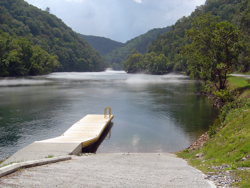
OK, so I made the Dragon‘s Breath thing up – at least the name. The phenomenon is real though, something you may encounter when riding NC 28 along Cheoah Lake on your way to or from The Dragon at Deals Gap.

NC-28-Fontana-lake

NC 28 - Cheoah Lake fog (or is it?) - Remember, there's a Dragon nearby.

The fog, which can be pretty thick at times, is a common occurrence on warm summer days. The water which drives the turbines at nearby Fontana Dam is drawn from the deepest coldest depths of Fontana Lake. When there is enough moisture in the warm air, it condenses when it comes near the cold water of Cheoah Lake.

NC-28-fontana-lake-

NC 28 - Sometimes the NC 28 bridge below the dam sits on a cloud

Fontana-Dam

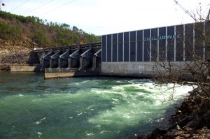
Below the Fontana Dam

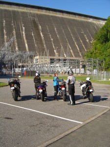
A nice side trip when you are in the area is a stop at the Fontana Dam. You can access the bottom of the dam once you cross the bridge over Cheoah Lake. Turn right and follow the paved road to the power station. To see the dam from the top, and you should it’s one of the highest in the east, use the road which intersects NC 28 just beyond Fontana Village. It’s easy to find, it’s the only stop sign on NC 28.

You find NC 28, the Fontana Dam, The Dragon, the Cherohala Skyway, other nearby attractions and scores of two lane twisty back roads which make for great Smoky Mountain motorcycle rides on America Rides Maps;

_______________________________________________________________________________
Wayne Busch
Wayne Busch – Cartographer
– Wayne Busch lives in Waynesville, NC, where he produces the most detailed and comprehensive and up-to-date motorcycle pocket maps of the Blue Ridge and Smoky Mountains to help you get the most of your vacation experience. See them here – AmericaRidesMaps.com 


New Map – The Best Motorcycle Rides SOUTH of Great Smoky Mountains National Park

Image - View of Map

Map #7 - The Best Motorcycle Rides South of Great Smoky Mountains National Park

I’m proud to announce the release of America Rides Maps latest compilation of great motorcycle rides in the Blue Ridge Mountains and the final map to complete a series of three maps which detail close to 200 good motorcycle roads surrounding Great Smoky Mountains National Park.

Map #7, The Best Roads South of Great Smoky Mountains National Park, covers the region west from Maggie Valley, North Carolina, to Tellico Plains, Tennessee, extending south to cross the borders into South Carolina and Georgia. More than 30 of the roads rate being listed as outstanding rides highlighted in red, and another 20 are shown as great connecting roads highlighted in blue to link them all together.  The Best Roads South of Great Smoky Mountains National Park includes a guide to 9 roadside waterfalls, numerous out-of-the-way gas stations, sights and attractions, and motorcycle friendly locations.

dragon-motorcycles

Motorcycles flock to ride the Dragon at Deals Gap

This is THE MAP for motorcycle riders making a trip down the Blue Ridge Parkway then on to the Dragon at Deals Gap.

It includes the final sections of the Blue Ridge Parkway into Cherokee, North Carolina, the popular 125 mile long Dragon /  Cherohala Skyway loop ride, the Nantahala River Gorge, Wayah Bald, the Cullasaja River Gorge, a surprising wealth of hidden back roads near Franklin, NC, and variations on rides surrounding the Dragon at Deals Gap few ever discover.

The Smoky Park Motorcycle Map Series includes –

Nearly 200 roads are described in this map package which weave through some of the highest mountains in the east, cross extensive scenic national forests and park lands, see dozens of roadside waterfalls, including every ride within Great Smoky Mountains National Park, it’s the most extensive and comprehensive collection of great motorcycle rides in this area ever assembled.


Photo by Jim Miller Photography

Photo by Jim Miller Photography - This area is so remote and wild you'll find hundred mile views with no evidence of human occupation to be seen.


“This map takes my best selling map, combines it with another, and adds new roads I’ve discovered to make the ultimate map for visitors to the Dragon at Deals Gap, it’s all you need!”

_______________________________________________________________________________

Wayne Busch
Wayne Busch – Cartographer
– Wayne Busch lives in Waynesville, NC, where he produces the most detailed and comprehensive and up-to-date motorcycle pocket maps of the Blue Ridge and Smoky Mountains to help you get the most of your vacation experience. See them here – AmericaRidesMaps.com 

The Best Motorcycle Rides NORTH of Great Smoky Mountains National Park – NEW MAP

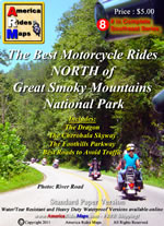
Photo - map cover

The newest motorcycle pocket map, “The Best Motorcycle Rides NORTH of Great Smoky Mountains National Park,” is the latest release from America Rides Maps adding a host of  great new motorcycle roads never publicized before to the already extensive collection from north Georgia to north Virginia.


The focus of this map was to locate and identify the best rides, shortcuts, and bypasses to avoid the traffic and congestion in one of the most popular tourist areas in the nation – the north side of Great Smoky Mountains National Park.

“I’ve avoided this area for years” says Wayne Busch, cartographer, explorer, and designer for America Rides Maps. “Now I have new favorite roads I ride again and again”.

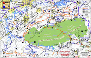
Photo - image of map

The most thorough coverage of Great Smoky Mountains National Park

Having completed the revisions and updates to the 6 Map Blue Ridge Parkway Series this winter, this new map is the second of three  maps which will form the Smoky Mountain Series.

The first, “The Best Motorcycle Rides Near Smoky Park – EAST “ contains the southern end of the Blue Ridge Parkway near Cherokee and follows it east to Asheville.

The third map in the Smoky Mountain Series will combine and expand on several maps which currently detail the wealth of great motorcycle rides south of the national park.

Between the three maps, more than 100 outstanding motorcycle rides will be detailed surrounding Great Smoky Mountains National Park.

“I‘ve already got the most detailed and comprehensive coverage of great motorcycle rides which connect or lie adjacent to the entire length of the 469.1 mile long Blue Ridge Parkway”, Wayne reports, “These maps expand that parkway experience and add to it some of the most challenging motorcycle roads found anywhere including the famous “Dragon” at Deals Gap”.

Expect the final map in the Smoky Mountain Series, “The Best Motorcycle Rides SOUTH of Great Smoky Mountains National Park”  in about a month.

America Rides Maps – http://AmericaRidesMaps.com – The most comprehensive, inexpensive, easy to use motorcycle pocket maps

BUY THIS MAP HERE  – http://shop.americaridesmaps.com/Map-8-Best-Rides-NORTH-of-Smoky-Park-NC020.htm

  • Standard Paper – $5.00
  • Water / Tear Resistant – (Best Value) – $5.99
  • Heavy Duty Waterproof – $8.00

Free Shipping via 1st Class mail included!

_______________________________________________________________________________
Wayne Busch
Wayne Busch – Cartographer
– Wayne Busch lives in Waynesville, NC, where he produces the most detailed and comprehensive and up-to-date motorcycle pocket maps of the Blue Ridge and Smoky Mountains to help you get the most of your vacation experience. See them here – AmericaRidesMaps.com 

Motorcycle the Dragon, the Cherohala Skyway, the Blue Ridge Parkway in one day

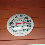
Photo - Thermometer at Deals Gap Motorcycle Resort

Thermometer at Deals Gap Motorcycle Resort

It was 80 degrees when I pulled up at the Deals Gap Motorcycle Resort yesterday at 5 PM with over 400 miles of Smoky Mountain motorcycle rides already behind me. 8 hours ago I was on the Cherohala Skyway as the soft morning glow and gusty winds made the lonely road seem like it was in another world.  I decided to make the day a trifecta and go home via the Blue Ridge Parkway. It’s hard to believe it’s still March, early spring has arrived!

Photo - morning on the Cherohala Skway

Morning on the Cherohala Skyway. I'm parked on the state line between North Carolina and Tennessee.

I had reservations about going out today, I’d been putting it off. I knew I would not find many good motorcycle rides in the areas I was searching. It was either too far out of the mountains or too far to into them. I was hitting the single lane back roads in the National Forests near The Dragon at Deals Gap and the Cherohala Skyway,  as well as the best ways to pass through the semi-urban areas to the north.

Photo - marble campfire

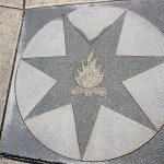
Who knows where this is?

I found something cool out in the Cherokee National Forest that will get it’s own motorcycle blog post shortly. One of the more useful things I discovered is one of the most direct ways to connect The Dragon at Deals Gap to I-75 south of Lenoir City.

Photo - Cherohala Skyway View

A long view of the Cherohala Skyway as it winds into Tennessee

I suspect many riders follow US 129 to Maryville, then take US 321 north when headed for the Interstate. There is  a way to minimize the traffic and avoid more than half of the four lane US 321.

Take TN 72 north from The Dragon at Punkin Center. When you reach US 411, cross it onto the East Coast Tellico Parkway and follow it along the lake area. It will become Axely Chapel Road at the north end and will intersect US 321. These are not outstanding motorcycle rides, but they are a heck of a lot better than the alternatives and get you off the four lane on some scenic and curvy motorcycle roads.

Photo - Calderwood Lake

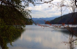
Calderwood Lake is one of several along US 129

I don’t really care much for riding in this area, but it’s only because there are so many really great motorcycle rides once you get in close to Great Smoky Mountains National Park. It’s hard to shine when pitted against them.

I’ve been mostly focusing on find the connections between the better rides so you can link them together. If you have the time when passing through, they are the most enjoyable motorcycle rides I can find for those who would rather stay on the back roads and savor them. The views are certainly more entertaining. Watch out for turkeys in the road.

Photo - Chillowhee Dam

How many of you have seen the Chillowhee Dam from this side?

My “wake up and dream” cruise on the smooth and sweeping curves of the Cherohala Skyway was the highlight of the morning.  The rest of it was on a web of roads which weave through the more remote and rugged sections of the national forest. A few of them start out as decent paved roads, but quickly diminish to single lane unmarked trails that become more potholed and full of gravel as you go. On most, the pavement ends long before the road does.

Photo - motorcycles at Delas Gap Motorcycle Resort

5 PM on a Tuesday evening in late March at the Deals Gap Motorcycle Resort

I’ll need at least one more good day to cover this area as thoroughly as I’d like. I’ve hit almost all the roads. The challenge now is how they work together to become the best motorcycle rides through the area, how well do the linked roads flow, can I find ways to make the good motorcycle rides last longer?

I know I can!

(Click on photos for larger views)
_______________________________________________________________________________

_______________________________________________________________________________
Wayne Busch
Wayne Busch – Cartographer
– Wayne Busch lives in Waynesville, NC, where he produces the most detailed and comprehensive and up-to-date motorcycle pocket maps of the Blue Ridge and Smoky Mountains to help you get the most of your vacation experience. See them here – AmericaRidesMaps.com 

Finally – Warmer Blue Ridge Motorcycle Riding Weather

Man, that was a long cold spell, but it looks like we’re going to get a break here in the Smoky Mountains, at least for a little while. We all know winter isn’t gone yet, it’s still mid February, but we’ve missed those warm spells that make it tolerable for motorcycles in the Blue Ridge. No more!

Photo - Blue Ridge Parkway still closed

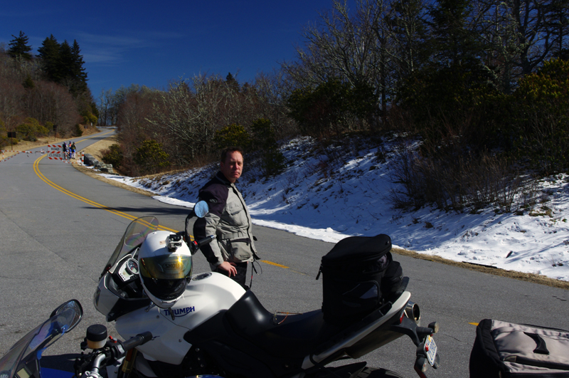
Blue Ridge Parkway - Beech Gap - Junction NC 215. The Parkway is still closed of course, though plenty were out enjoying it on foot and bicycle.

Jackie and I got out for some riding Sunday, including a stop at the Blue Ridge Parkway at Beech Gap. While we’re so grateful to have this opportunity to get out and ride, it’s no time for getting frisky. Snow lines the roads in the high places, and every shady curve has you watching for lingering ice. The salt, gravel, and sand still lays thick on frozen roads and columns of ice cover rocky faces which see little sunshine. Ride a little, slide a little, it can be a delicate dance sometimes.

Photo - ice along NC 215

Ice coats the rock faces near the heights of the Blue Ridge Parkway on NC 215. The winter sun is still too low in the sky to warm places like this.

We shot more video for the America Rides Maps winter video project, I showed Jackie a great road she’d never been on, and we saw plenty of other bikers out enjoying rides on their motorcycles. It should be similar tomorrow and maybe a few days more. I know I’m going to take advantage of it.

Photo - Frozen Waterfall

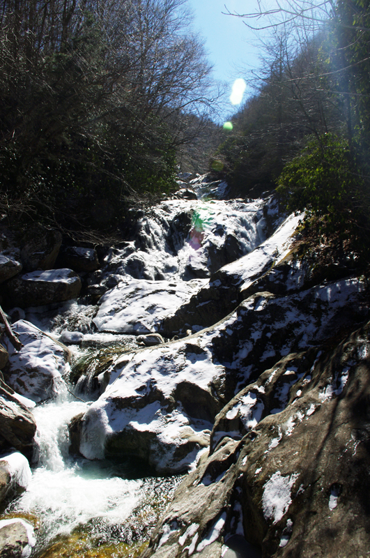
Frozen waterfall - Bubbling Springs Branch on NC 215

Hope you get a chance to ride soon. I can’t stop thinking about spring, though this break is sure welcome.

_______________________________________________________________________________
Wayne Busch
Wayne Busch – Cartographer
– Wayne Busch lives in Waynesville, NC, where he produces the most detailed and comprehensive and up-to-date motorcycle pocket maps of the Blue Ridge and Smoky Mountains to help you get the most of your vacation experience. See them here – AmericaRidesMaps.com 

Sights From the Motorcycle Road – Penland Post Office

Yesterday’s explorations north of Asheville brought me back to many familiar roads, several good new ones, and far too many unpaved and unsuitable trails that had to be investigated regardless. With leaf season past its peak thanks to some windy storms, I followed the Blue Ridge Parkway north and paused along the way to see what remains. There’s still some good color down low, but it’s mostly yellows, browns, and gold that hold fast to the branches for another week or so.

Photo - view from the Blue Ridge Parkway

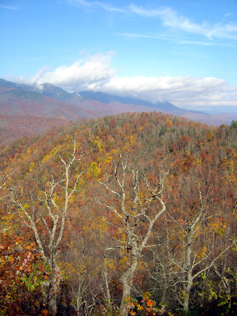
The Black Mountains viewed from the Blue Ridge Parkway between Crabtree Falls and Little Switzerland. Still some leaves giving a last show of color.

Northeast of Spruce Pine, NC, an excellent motorcycle ride can be enjoyed on Penland Road. It diagonals between the the too heavily trafficked US 226 and US19E and is a welcome relief from the four lane bustle. Near the midpoint sits the tiny hamlet of Penland and the ancient Penland Post Office.

Photo - Penland Post Office

The flag was the giveaway the Penland Post Office was still in business. I've passed by many times, today I stopped to visit.

I’d passed by it many times, noting it’s location, but never paying it much attention as it appeared to be abandoned. Yesterday, seeking a spot to stop and consult my map, I found it’s very much alive and functional despite its antique appearance.

Photo - Penland Post Office

A place preserved in time, I had wondered if the Penland Post Office was just another abandoned relic of the past. Hardly the case.

The female postmaster seemed to welcome the intrusion of me poking about, snapping a few photos, and inquiring about the location. She tells it’s slated for restoration thanks to the efforts of the nearby Penland School of Crafts.

Photo - Penland Post Office

I suspect many of these boxes are tended only by ghosts, though it's hardly an isolated area. Generations have lived back in these mountains and continue to do so.

Discovering sights like these is one of the best reasons to get off the Blue Ridge Parkway and explore the wealth of back roads that weave throughout the Smoky Mountains. Were I to photograph and visit all of them I’d get little mapping done. Trust me, there are plenty more awaiting your discovery and the roads and motorcycle rides that lead to them are what keep me going.

Photo - Penland Post Office

While I did see a computer in the back room, I suspect this typewriter and brass scale got just as much use.

The Blue Ridge Parkway projects an image of isolated mountain wilderness that doesn’t truly reflect just how many people have lived adjacent to it since times before there were cars and motorcycles. Think about it – something like popular Mabry Mill on the parkway could never have existed were there not a community that needed and supported it. Many of those communities persist and the roads which connect to and lie nearby the Blue Ridge Parkway are the gateways to discovering them. Discover America Rides Maps and find this wealth of hidden treasures.

_______________________________________________________________________________
Wayne Busch
Wayne Busch – Cartographer
– Wayne Busch lives in Waynesville, NC, where he produces the most detailed and comprehensive and up-to-date motorcycle pocket maps of the Blue Ridge and Smoky Mountains to help you get the most of your vacation experience. See them here – AmericaRidesMaps.com