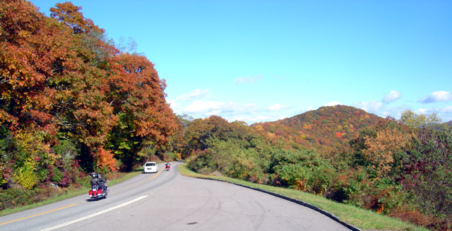
Riding the Blue Ridge Parkway – Fall leaves can be deadly!

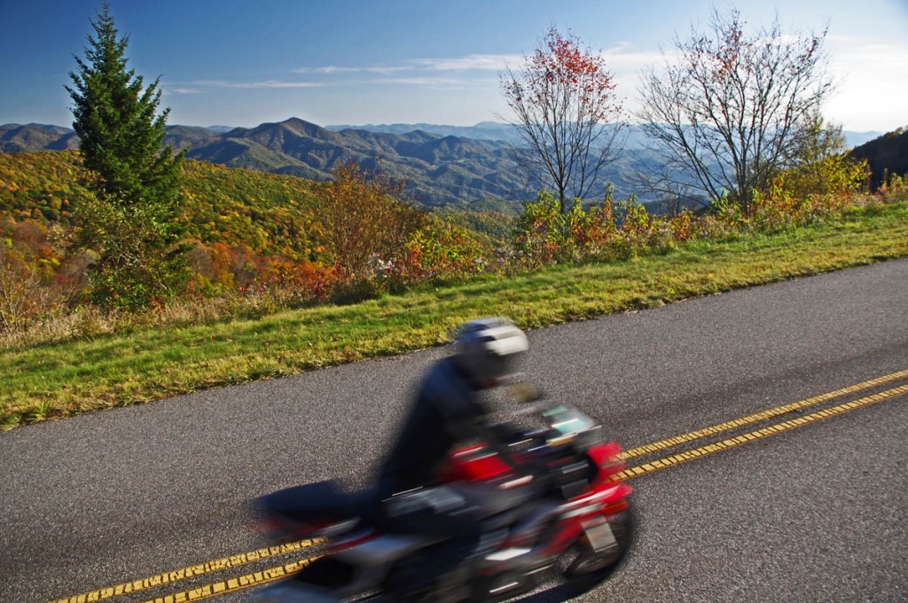
Motorcycle riding tips – Wet leaves in the road can be slick as ice! Watch out for them.

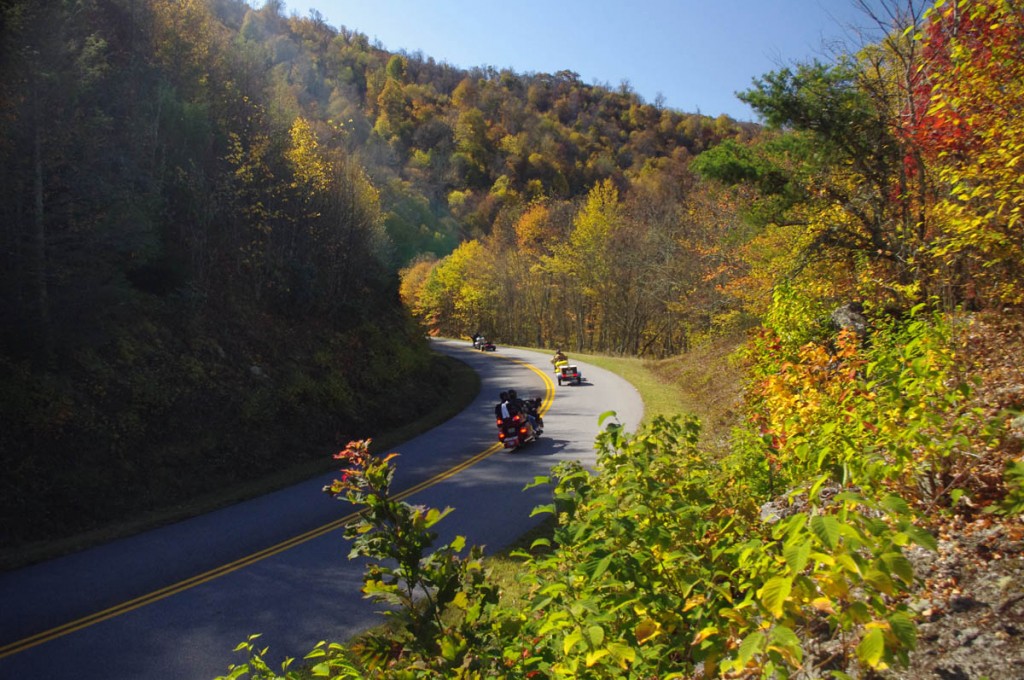
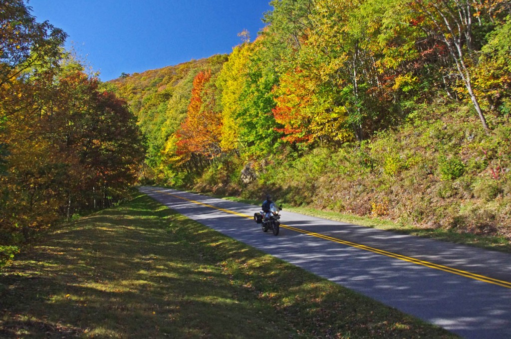
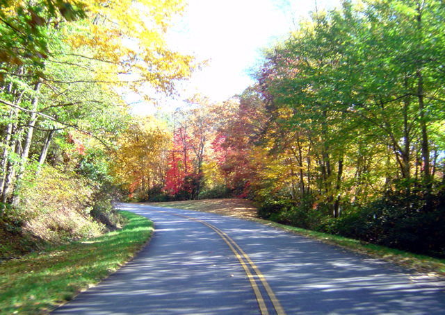
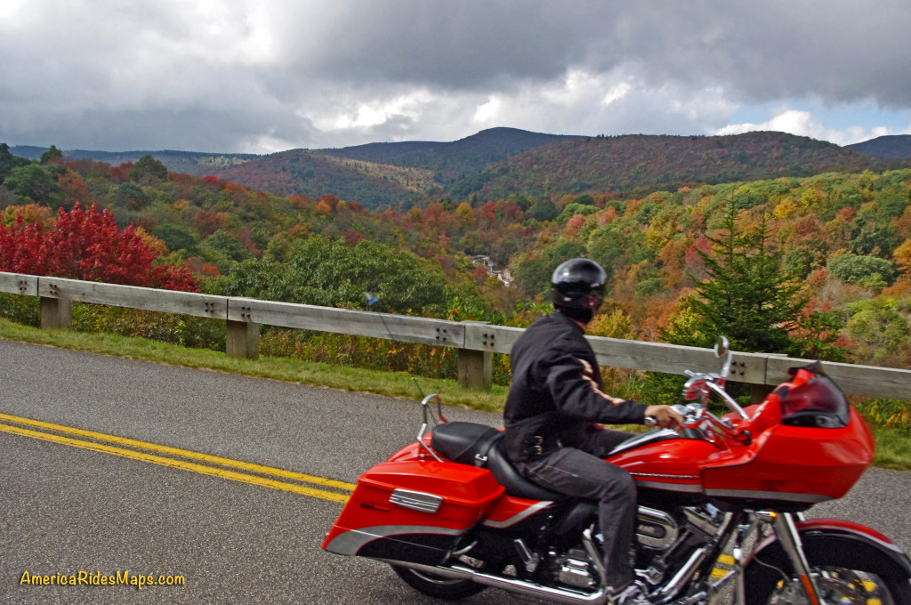
The fall leaf color show is nearing it’s end. With every good breeze a shower of tree trash rains down to blanket the ground for winter’s slumber. Usually those winds blow it clear from the road and it’s no big deal for the motorcycle rider flying along with trails of floating color swirling romantically in your wake.

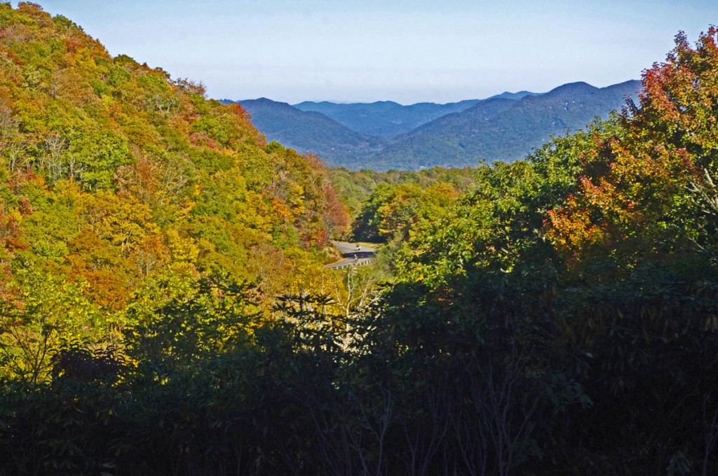
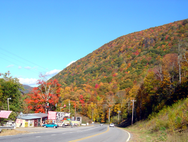
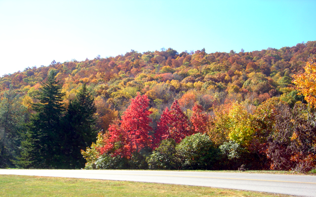
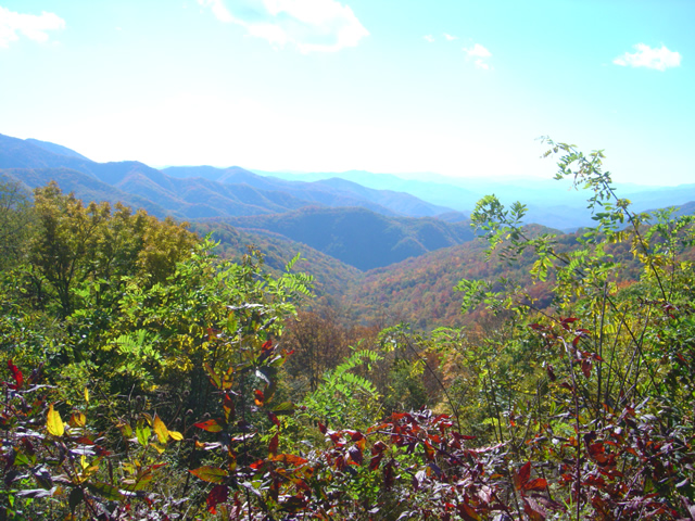
There is still plenty of fall color to enjoy in the Blue Ridge, but those leaves can become a hazard!

There is still plenty of fall color to enjoy in the Blue Ridge, but those leaves can become a hazard!

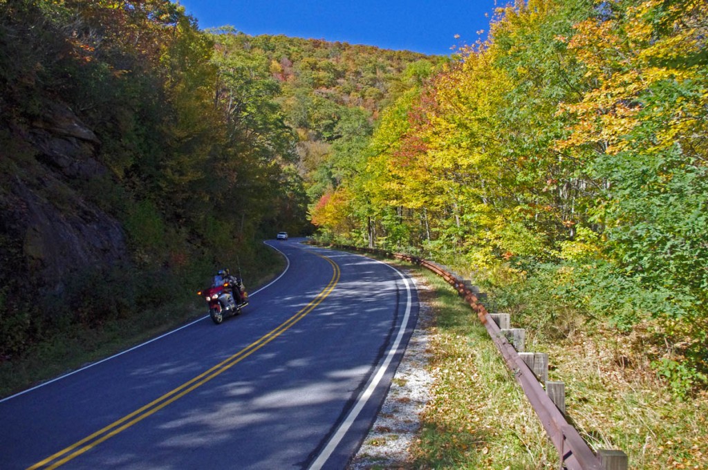
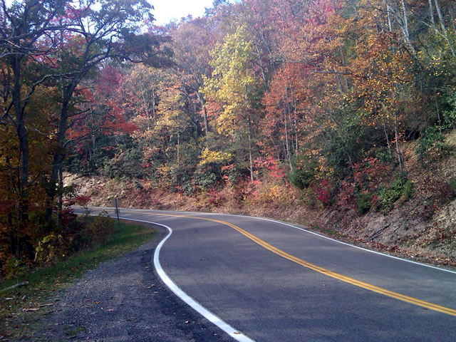
But add water to the mix and those leaves get heavy and stick to the road piling up between the two tire tracks cleared by passing autos. The water acts as a lubricant. Stray out of those tire tracks cleared by the cars, especially in a curve, and you’ll find your traction goes from hero to zero in an instant.

We all know the painted lines are slick when wet -

We all know the painted lines are slick when wet – it can be deadly when you add wet leaves on top of them. Watch out and hold your line in the curves!

Be especially alert and cautious when riding now after it rains. The problem goes away pretty quickly with sunshine, but don’t be fooled. Many areas of our mountain roads are perpetually shady and those leaves remain wet and slippery even on the brightest of days.

If you enjoy photos of motorcycle riding in the Blue Ridge and Smoky Mountains, like MY BLUE RIDGE MOTORCYCLING FACEBOOK PAGE.
____________________________________________________________________

wayne busch - Smoky Mountain Motorcycle Rider.com

Wayne Busch

– Wayne Busch lives in Waynesville, NC, where he produces the most detailed and comprehensive and up-to-date motorcycle pocket maps of the Blue Ridge and Smoky Mountains to help you get the most of your vacation experience. See them here – AmericaRidesMaps.com

____________________________________________________________________

Motorcyclists – Never Underestimate the Weather on the Blue Ridge Parkway

I sometimes do dumb things on a motorcycle. Learn from my mistakes, I’ve made a lot of them.

Forecast – High’s in the 50’s, windy, partly cloudy, 10% chance of rain, IN WAYNESVILLE, NC. I’d become pretty complacent regarding the weather as it had been an unusually warm fall so far. The morning wasn’t too bad for what was supposed to be the DAY BEFORE our first cold snap – high 40’s and an unexpected wet driveway overnight greeted me and my morning coffee as I started the day on the porch of my cabin. Low clouds raced overhead, there was little wind at all IN MY LITTLE COVE.

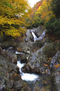
Blue Ridge Parkway - Fall color at Second Falls , Graveyard Fields on the Blue Ridge Parkway. Head-turning gorgeous.

Blue Ridge Parkway – Fall color at Second Falls , Graveyard Fields on the Blue Ridge Parkway. Head-turning gorgeous.

I wanted new photos to feed MY BLUE RIDGE MOTORCYCLING FACEBOOK PAGE at the peak of fall color in the Blue Ridge Mountains. I post a couple each day for my motorcycle riding friends and they sure do seem to like them as I currently have something like 33,000 people who check in to see them. So I set aside the day to run up to Boone, NC on the Blue Ridge Parkway and see the colors so I could report back and tell them what to expect and where to go to see it.

Fall Colors on the Blue Ridge Parkway near Waynesville

Fall Colors on the Blue Ridge Parkway near Waynesville a couple days ago.

“It’s not too bad” I thought, no need for the long johns or the Gerbings Heated motorcycle riding gear. It would be dry and mostly sunny, I can handle this, no problem. I packed up the morning motorcycle map orders, hit the post office, then I-40 east to Asheville to pick up the Blue Ridge Parkway and head north.

Fall colors near the highest point on the Blue Ridge Parkway

Fall colors near the highest point on the Blue Ridge Parkway from my collection.

I got on the Blue Ridge Parkway at US 74 and started the pleasant ride north. The colors along the Asheville corridor and leading up to Craggy Gardens were spectacular! My goal was the Linn Cove Viaduct at Grandfather Mountain. The plan was to race up there to get some photos, then take my time coming back shooting more along the way as the lighting would be better. It was  getting a bit cloudy, so I’d surely get better shots later in the day on the return.

Charlies Creek Road

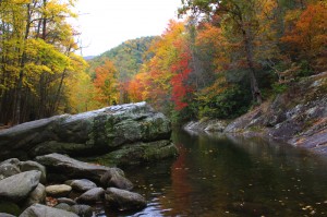
Charlie’s Creek Road – Not only will you find some of the best hidden pockets of leaf color, but you have one of the best rides of your life.

I quickly found myself doddering along behind the light tourist traffic at 25 mph. “Don’t be an asshole” – just enjoy the sights and behave” I told myself. That lasted about 3 minutes before I started darting around the cars. Damn, it was chilly as I approached Craggy Gardens and a light rain started.

I hit the clouds climbing to Mt. Mitchell, highest peak in the east. “That’s normal”, I told myself, “it’s always cloudy here”, its still early in the day. It was getting cold now, and I saw the first SNOW along the roadside. Wished I’d put on the heated gear. The wind was beyond “blustery” by now.

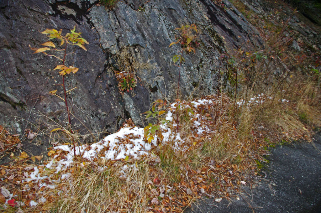
Approaching Mt. Mitchell, I saw the first snow along the roadside.

Approaching Mt. Mitchell, I saw the first snow along the roadside.

It was another hour and then some to reach Grandfather Mountain. I scrambled up on the rocks for the photo of the Linn Cove Viaduct and shivered violently in the bitter gusty winds waiting for the sun to hit it while a motorcycle was crossing and get the photos I wanted. I never got the perfect shot, but after  almost an hour I was shaking so violently I just gave up. It was too cloudy and I recognized the beginnings of hypothermia. It would be a long ride back, and the temperature was dropping.

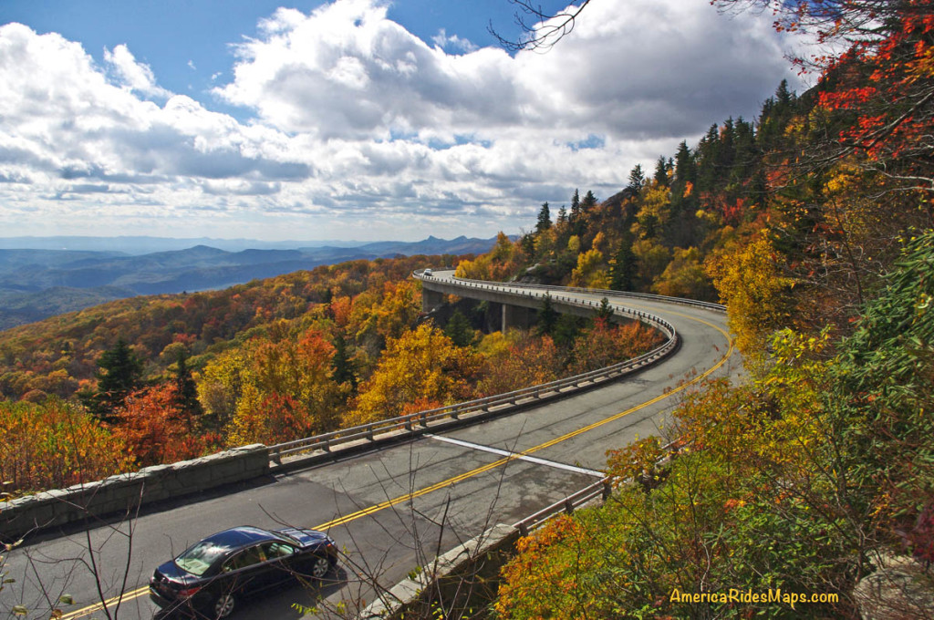
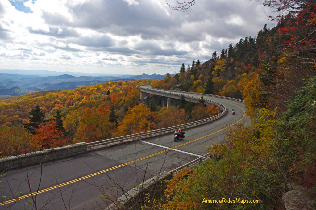
Blue Ridge Parkway Linn Cove Viaduct Fall

Here’s the best shot I got with motorcycles. Waiting to see one yesterday was like waiting for Bigfoot and his family to come out and pose. The smart riders hunkered down and stayed in.

The fall colors at Grandfather Mountain were unbelievable, though only during the very rare moments when the sun peaked through the heavy cloud cover. It finally just all went gray in the sky above, and I couldn’t stand it any longer. I had to get back.

The wind was wailing now, the rain of leaves horizontal, and the times when the sun poked through the racing clouds were fleeting. I sped through Little Switzerland, trying to relax as my body shook violently from the cold so I could maintain control of the bike at speed. Wheels kicking out on the wet leaves, the tick-tick-tick on the helmet told me the rain had turned to sleet. Breathing as shallow as I could to keep the visor from fogging, I poured on the throttle to get this pain over with as quickly as possible.

Linn Cove Viaduct Fall Colors

Best shot from the day. It was a long cold wait to get it.

Getting photos had long been dismissed as any priority, it was all about escaping my predicament now. Underdressed, the climb to Mt. Mitchell was brutal, just get it over with. I passed the park and the sleet turned to tiny white flecks – it was snowing.

Coming into Asheville I looked to the west and home. The skies were blue, the sun was shining, it was exactly as the forecast predicted.

Lessons Re-learned:

  • It’s always more extreme up on the parkway – colder, wetter, windier. Don’t be fooled sitting on the porch.
  • Weather in the mountains varies widely and can change quickly. Check the forecast in several places.

If you enjoy photos of motorcycle riding in the Blue Ridge and Smoky Mountains, like MY BLUE RIDGE MOTORCYCLING FACEBOOK PAGE.
____________________________________________________________________

wayne busch - Smoky Mountain Motorcycle Rider.com

Wayne Busch

– Wayne Busch lives in Waynesville, NC, where he produces the most detailed and comprehensive and up-to-date motorcycle pocket maps of the Blue Ridge and Smoky Mountains to help you get the most of your vacation experience. See them here – AmericaRidesMaps.com

____________________________________________________________________

Your Fall Motorcycle Leaf-peeping trip to the Smokies – Tips

Your Fall Leaf-peeping Motorcycle Trip to the Smokies – Tips

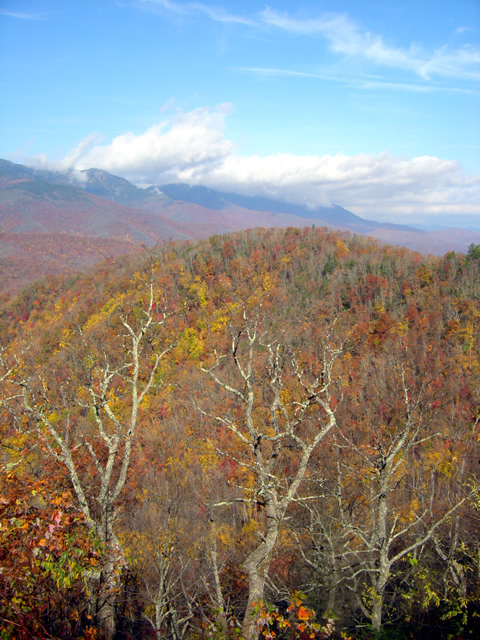
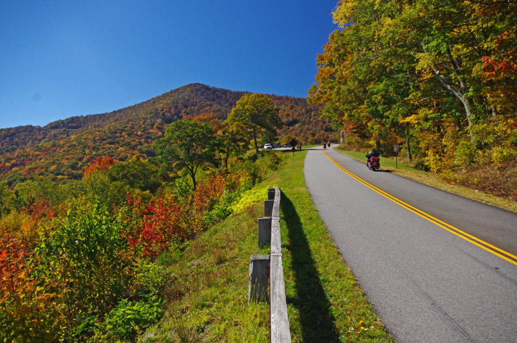
Some of the best views will be from the heights of the Blue Ridge Parkway.

Some of the best views will be from the heights of the Blue Ridge Parkway.

 It’s that time of year again, the brief lull before the start of the peak of the tourist season in the Smoky Mountains. It’s a good time to pass along some last minute tips and advice to those planning to come see natures spectacular autumn show.
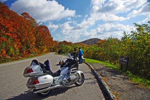
Blue Ridge Parkway Fall Motorcycle

You don’t have to go far to find great scenery

Last minute advice – Get a room! If it’s your first visit to the Smoky Mountains on a fall motorcycle tour for leaf season, you don’t yet know how “last minute” this advice is. The nicest places to stay and most of the motorcycle friendly sites took reservations last year, they are probably booked. You can try calling, but you’re probably relegated to the second tier establishements. If you “wing it” you’ll be looking for adventure in the third tier or bouncing between crowded campgrounds.
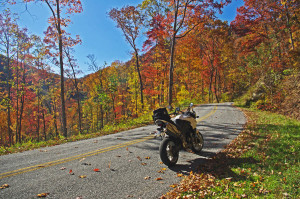
Tanassi Creek Road

Tanassi Creek Road – all yours, no traffic!

Tip – you’ll be back. There is no way you can hit all the best roads on one trip, even two trips. Some are worth coming back and riding again. If you really like the experience and find a base camp that treats you well, book ahead for next year.

Last minute advice – when is peak leaf viewing? Depends and varies. Were I to pick one (OK, 2 dates) for the Smokies, it would be Oct 16-17. Leaf color depends on climate conditions over the year. It takes a cold snap to make the leaves snap and the right mix of wet and dry. Who knows?
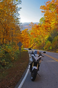
Becky Mountain Road

Becky Mountain Road

Tip – Leaf season is longer than it seems – That “peak of color” date is misleading. Due to the changes in altitude, the leaf change occurs at different rates at different altitudes. There are several weeks to either side of the announced peak date when the leaves will be spectacular, but limited within the altitude. High areas change early, valleys change later. There is still good leaf color into November at the lower altitudes.

Last minute advice – What will the weather be like? While it’s typically a dryer time of year, it’s also one of those transitional periods where we fluctuate between a couple warm days then a few colder ones. Cold fronts usually come through hard and fast, warm ones kinda drift in with gentle rains. On nice sunny days the temperatures may rise well into the 60’s, even 70’s. But, a damp and cloudy day in the 50’s can feel mighty chilly when the winds pick up atop the mountains. Morning lows will generally be in the 40’s, though a cold snap will bring frost (and help the leaves have good color).

Ellijay Road - beautiful and fun!

Ellijay Road – beautiful and fun!

Tip – Bring warm gloves, a good jacket, and several layers. Mornings are typically foggy, an early start may mean the views are obscured. Don’t be in a rush to get to the mountaintops. As always, throw the rain suit in just in case. If you’ve got an open helmet, consider face protection.

Advice – What about the traffic? While millions will flock to the mountains to see the fall show, their patterns are predictable. Weekends, especially afternoons, will find the popular places like Great Smoky Mountains National Park, Chimney Rock, The Dragon, and the Parkways congested. Mornings are the better times to pass through the busier areas.

Photo-motorcycles-on-the-Blue-Ridge-Parkway

View from Waterrock Knob

Tip – try to hit those most popular areas during the week. They are definitely worth visiting, but you will enjoy them more if you can be riding, not idling. On the busiest days, there are still hundreds of great, fun, empty 2 lane back roads for you to enjoy riding, and they are all lined with colorful trees where the leaf-peepers rarely stray.

Advice – What should I watch out for? Be extra cautious when riding. Half the people out there may be tourists paying more attention to the scenery than the road. Be ready for the unexpected (like a car stopped dead in the road to take a photo on a curve). Same goes for you riders – use the numerous overlooks and pull offs to get the best views. Several motorcycles ride off the mountainsides each year when the driver was distracted by gorgeous the views. Pull over!
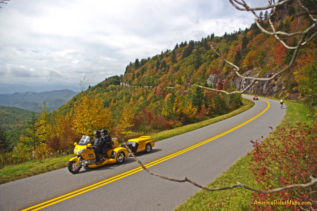
Blue Ridge Parkway Fall Motorcycle

Enjoy the ride but pull over to enjoy the scenery. Don’t ride off into the sunset – it’s a long way down.

Tip – when traffic is heavy, best to avoid it. Get off the main roads, divert around towns, and look for those tiny back roads others bypass. You’ll have much more fun, see things others never do, and discover reasons to come back and ride more during the off season. Just one or two of my pocket maps will insure you have the best motorcycle vacation ever – they show you all the great back roads.
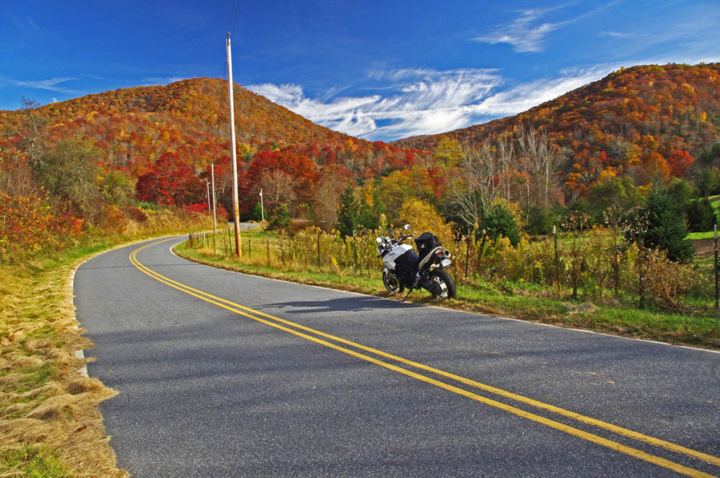
Charlies Creek Road

Charlie’s Creek Road – Not only will you find some of the best hidden pockets of leaf color, but you’ll  have one of the best rides of your life.

____________________________________________________________________

wayne busch - Smoky Mountain Motorcycle Rider.com

Wayne Busch

– Wayne Busch lives in Waynesville, NC, where he produces the most detailed and comprehensive and up-to-date motorcycle pocket maps of the Blue Ridge and Smoky Mountains to help you get the most of your vacation experience. See them here – AmericaRidesMaps.com

Total Rider Tech Logo

Learn Total Control

Wayne is an advanced motorcycle instructor for Total Rider Tech teaching Lee Parks Total Control Advanced Rider Courses. Isn’t it time you looked into advanced rider training to ride more confidently and safely? It can transform your mountain riding experience.  Total Rider Tech

____________________________________________________________________
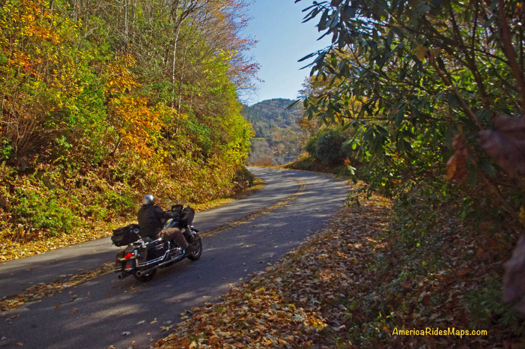
Blue Ridge Parkway Motorcycle – Fall Leaf Color

Blue Ridge Parkway Motorcycle – Fall Leaf Color, October 12, 2012
South section, Asheville to Cherokee

Blue Ridge Parkway Motorcycle - Fall leaf color

Blue Ridge Parkway Motorcycle – Fall leaf color; While the leaves have dropped some at the highest points, plenty remains just a little lower.

For bikers riding the Blue Ridge Parkway by motorcycle this year, it’s been another good fall showing of fall leaf color. The weather has been a bit “iffy” at times, but that’s not uncommon during this transitional period of the year.

Blue Ridge Parkway Motorcycle - Fall leaf color;

Blue Ridge Parkway Motorcycle – Fall leaf color; Even where some leaf loss has occurred, the views are still outstanding. Late in the day the golden sunlight really sets them off!

Friday, the colors were just getting near their peak at the highest elevations. A cold front over the weekend brought some wind and rain lingered into the week. Unfortunately the leaves were stripped in many exposed areas. Still, there is plenty remaining to make a motorcycle tour worth the time and effort.

Blue Ridge Parkway Motorcycle - Fall leaf color;

Blue Ridge Parkway Motorcycle – Fall leaf color; plenty of color yet to come at the lower elevations throughout the mountains. It usually lasts well into November.

Above 5000 ft. some color remains, but the real show now is a little further down. You’ll find excursions off the Blue Ridge Parkway onto the many great connecting motorcycle rides still yielding a spectacular view of natures glory.

Blue Ridge Parkway Motorcycle - Fall leaf color;

Blue Ridge Parkway Motorcycle – Fall leaf color; The lower elevations are just beginning to show the full spectrum of all the hues of the leafy rainbow.

Don’t miss opportunities to get off onto the back roads where there are some outstanding displays of not only great leaf color, but beautiful mountain scenes that reward the wanderer year-round.  AmericaRidesMaps.com will help you find them!

NC 215 fall leaf color - motorcycle rides nc

NC 215 fall leaf color – motorcycle rides nc – NC 215 has currently got some great shows of color as well as the scores of roads shown on America Rides Maps in the surrounding area. Be sure to check them out!

____________________________________________________________________

wayne busch - Smoky Mountain Motorcycle Rider.com

Wayne Busch

– Wayne Busch lives in Waynesville, NC, where he produces the most detailed and comprehensive and up-to-date motorcycle pocket maps of the Blue Ridge and Smoky Mountains to help you get the most of your vacation experience. See them here – AmericaRidesMaps.com

Total Rider Tech Logo

Learn Total Control

Wayne is an advanced motorcycle instructor for Total Rider Tech teaching Lee Parks Total Control Advanced Rider Courses. Isn’t it time you looked into advanced rider training to ride more confidently and safely? It can transform your mountain riding experience.  Total Rider Tech

____________________________________________________________________
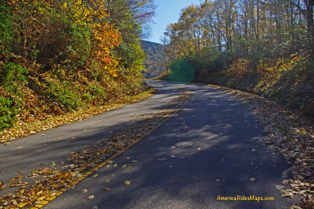
Motorcycle Riders Enjoying Blue Ridge Parkway Fall Color

This year, I spent the peak of the leaf season riding my motorcycle on the Blue Ridge Parkway. I photographed the scenery and captured other riders on their motorcycle vacation as they roared past. I selected some of the better ones and a few video clips to share memories with those of you who made it this year and to show those of you who are coming next what they’ve missed out on.

Watch on YouTube http://youtu.be/fQEqdbrt1fI

_______________________________________________________________________________

Wayne Busch

Wayne Busch - Cartographer

Total Rider Tech Logo

Learn Total Control

– Wayne Busch lives in Waynesville, NC, where he produces the most detailed and comprehensive and up-to-date motorcycle pocket maps of the Blue Ridge and Smoky Mountains to help you get the most of your vacation experience. See them here – AmericaRidesMaps.com

Wayne is an advanced motorcycle instructor for Total Rider Tech teaching Lee Parks Total Control Advanced Rider Courses. It’s time you looked into advanced rider training to ride more confidently and safely, it will change your mountain riding experience. It worked so well for me I became an instructor! Total Rider Tech

_______________________________________________________________________________

North Carolina + Motorcycle + Camera + Rain = Waterfalls!

Photo-clouds-move-in-on-the-Blue-ridge-Parkway

As the clouds moved in, I left the Blue Ridge Parkway color behind.

I’ve been taking every opportunity to get out on the motorcycle on the Blue Ridge Parkway and photograph one of the best years for fall leaf color in a long time. I’ve captured some great shots so far. Yesterday though, the weather changed and the high places were quickly enveloped in cloudy wetness so thick I could barely see. Resigned to give up the day to the weather, I stowed the camera and left the Blue Ridge Parkway at Beech Gap (map) to return home to Waynesville via NC 215.

photo-Flat-Laurel-Creek-on-NC 215

Easy to miss, Flat Laurel Creek cascades down the rock faces - 3rd pull out on right, first long straight section of road from top

Currently, a ride on NC 215 is a Jekyll & Hyde experience.  South of the Blue Ridge Parkway, this popular motorcycle ride is an exquisite pleasure as it plunges down from the heights to reach US 64 near Rosman. Recently paved, this southern section of  the road courses through the  Pisgah National Forest, with stunning views from the high parts and challenging curves and bends that thrill.

Photo-Bubbling-Springs-Branch-on-NC 215

Easy to find Bubbling Springs Branch is on a sharp curve where it flows under NC 215.

In contrast, the north end of NC 215 is a nightmare for the motorcyclist and I’ve heard many bikers cursing the experience of surviving the twisty descent on a road now strewn with loose gravel after recent road “improvements”.  It got a “tar & chip” repair job a few weeks back which addressed the breaks in the pavement, but left a slippery legacy to negotiate turns that are a handful on a road with ideal conditions. Riding it on a motorcycle now is an experience that brings dread to the minds of most.

Coming down in the rain, already wet, I took my time and paused along the route to capture some shots of the scenery most motorcyclists will miss as all their attention is focused on staying upright on this challenging road.

Photo-East-Fork-Pigeon-River

The river calms briefly near the Sunburst Campground with an easy to find pull off along this section.

There are many hidden secrets along this stretch of NC 215 as it traces the course of the Little East Fork of the Pigeon River though most blast right by them. It’s worth taking a little time to pause and explore.

The river is never far from the road, and several small streams add to the torrent along the way. For those who enjoy hiking, the trails through this area are ripe with outstanding scenery.

The Little East Fork eventually reaches Lake Logan where it is captured by a dam. It then continues on to join the Big East Fork before it continues it’s run on through Canton, NC then on into Tennessee where I-40 cuts through a dramatic gorge at the state lines. Eventually it flows through Pigeon Forge, TN, then on to join the great rivers beyond.

Photo-Lake-Logan-North-Carolina

The river pools behind the dam at Lake Logan, then continues on.

Forced to slow down by the road, the rain, and the rocks, I enjoyed a ride most others despise. NC 215 will always be one of our favorite local North Carolina motorcycle rides. I’m hopeful it will see a proper paving in the future, but if not, it will still be a road I visit often and recommend to others. The gravel will eventually be cast along the roadside by traffic.

Don’t be put off by the condition of NC 215. Take your time, go easy, and you’ll be rewarded with some outstanding sights along this classic North Carolina motorcycle ride. It will only get better with time.

_______________________________________________________________________________
Wayne Busch

Wayne Busch - Cartographer

Total Rider Tech Logo

Learn Total Control

– Wayne Busch lives in Waynesville, NC, where he produces the most detailed and comprehensive and up-to-date motorcycle pocket maps of the Blue Ridge and Smoky Mountains to help you get the most of your vacation experience. See them here – AmericaRidesMaps.com

Wayne is an advanced motorcycle instructor for Total Rider Tech teaching Lee Parks Total Control Advanced Rider Courses. It’s time you looked into advanced rider training to ride more confidently and safely, it will change your mountain riding experience. It worked so well for me I became an instructor! Total Rider Tech

_______________________________________________________________________________
You’ll find NC 215 and some of the best motorcycle rides in this outstanding area along with a guide to more than a dozen roadside waterfalls on America Rides Maps “The Best Motorcycle Rides EAST of Great Smoky Mountains National Park

Sights From the Motorcycle Road – Penland Post Office

Yesterday’s explorations north of Asheville brought me back to many familiar roads, several good new ones, and far too many unpaved and unsuitable trails that had to be investigated regardless. With leaf season past its peak thanks to some windy storms, I followed the Blue Ridge Parkway north and paused along the way to see what remains. There’s still some good color down low, but it’s mostly yellows, browns, and gold that hold fast to the branches for another week or so.

Photo - view from the Blue Ridge Parkway

The Black Mountains viewed from the Blue Ridge Parkway between Crabtree Falls and Little Switzerland. Still some leaves giving a last show of color.

Northeast of Spruce Pine, NC, an excellent motorcycle ride can be enjoyed on Penland Road. It diagonals between the the too heavily trafficked US 226 and US19E and is a welcome relief from the four lane bustle. Near the midpoint sits the tiny hamlet of Penland and the ancient Penland Post Office.

Photo - Penland Post Office

The flag was the giveaway the Penland Post Office was still in business. I've passed by many times, today I stopped to visit.

I’d passed by it many times, noting it’s location, but never paying it much attention as it appeared to be abandoned. Yesterday, seeking a spot to stop and consult my map, I found it’s very much alive and functional despite its antique appearance.

Photo - Penland Post Office

A place preserved in time, I had wondered if the Penland Post Office was just another abandoned relic of the past. Hardly the case.

The female postmaster seemed to welcome the intrusion of me poking about, snapping a few photos, and inquiring about the location. She tells it’s slated for restoration thanks to the efforts of the nearby Penland School of Crafts.

Photo - Penland Post Office

I suspect many of these boxes are tended only by ghosts, though it's hardly an isolated area. Generations have lived back in these mountains and continue to do so.

Discovering sights like these is one of the best reasons to get off the Blue Ridge Parkway and explore the wealth of back roads that weave throughout the Smoky Mountains. Were I to photograph and visit all of them I’d get little mapping done. Trust me, there are plenty more awaiting your discovery and the roads and motorcycle rides that lead to them are what keep me going.

Photo - Penland Post Office

While I did see a computer in the back room, I suspect this typewriter and brass scale got just as much use.

The Blue Ridge Parkway projects an image of isolated mountain wilderness that doesn’t truly reflect just how many people have lived adjacent to it since times before there were cars and motorcycles. Think about it – something like popular Mabry Mill on the parkway could never have existed were there not a community that needed and supported it. Many of those communities persist and the roads which connect to and lie nearby the Blue Ridge Parkway are the gateways to discovering them. Discover America Rides Maps and find this wealth of hidden treasures.

_______________________________________________________________________________

Wayne Busch
Wayne Busch – Cartographer
– Wayne Busch lives in Waynesville, NC, where he produces the most detailed and comprehensive and up-to-date motorcycle pocket maps of the Blue Ridge and Smoky Mountains to help you get the most of your vacation experience. See them here – AmericaRidesMaps.com

Fall leaves – Photos from The Snake Motorcycle Ride

With such a beautiful day I was itching for an excuse to get out of the office, onto my motorcycle, and enjoy it when an email came in from David at the Shady Valley Country Store at The Snake Motorcycle Ride in Tennessee. He needed to be restocked on maps, and I was curious about a recommended road in the area – Denton Valley Road. Thats all it took.

Photo - Fall leaves on the Snake - US 421

The were some nice spots of fall color on US 421 a.k.a. "The Snake" yesterday. I was delivering a load of maps to the Shady Valley Country Store.

The big question was “How to get there?” Normally I’d take the Blue Ridge Parkway north to Linville, then jump on the back roads to skirt around the traffic in Boone. Knowing the Blue Ridge Parkway would be heavy with leaf peeping traffic, I considered going east to take the most common routes, but I also knew US 321 would be clogged with traffic and I’d get held up going through Boone. That left a western approach, so I went to Asheville, then up I-26 to US 19E from which I could jump on the back roads once I neared Elk Park. Looking back, I should have just followed the back roads all the way. I got held up in the construction on US 19E and could probably have made the trip in the same amount of time and had a lot more fun. Time was an issue as it was after noon before I left the house.

Photo - Fall leaves on The Snake - US 421

I snapped this photo just before I started down Denton Valley Road from US 421. The sun hit just right, the colors are real, not enhanced. I tried to tone them down, but decided to go with what the camera captured.

It was nearing 4 PM when I concluded my business at the Shady Valley Country Store and continued west on US 421 enjoying the twists and curves of The Snake to reach Denton Valley Road. It was a decent ride, though I hadn’t researched it well enough and ended up spending the next hour and a half exploring it and the roads which connect to it to determine the best and most natural routes. I rolled into Bristol, Virginia, around 6 to refuel and resigned to taking the Interstates back home as it was the most efficient course. It’s not the first time I’ve made that trip in the dark, and unprepared to be out so late I once again suffered the chills of going through the high pass on I-26 at Buckner Gap at night – it ‘s always cold there.

I pulled into the driveway at 8PM, shivering but happy after a decent 350 miles and a collection of new roads to add to America Rides Maps collection.

_______________________________________________________________________________

Wayne Busch
Wayne Busch – Cartographer
– Wayne Busch lives in Waynesville, NC, where he produces the most detailed and comprehensive and up-to-date motorcycle pocket maps of the Blue Ridge and Smoky Mountains to help you get the most of your vacation experience. See them here – AmericaRidesMaps.com

Video – Fall Leaf Status – a Motorcycle Ride on NC 209

http://www.youtube.com/watch?v=en5xcyY_kcc

A compilation of video clips from a weekend motorcycle ride to Hot Springs, North Carolina to show the current status of the fall leaf color in the Smoky Mountains.

Jackie and I have been out enjoying the fall colors at every chance. I shot this video on an afternoon ride out to Hot Springs to see what the leaves looked at in the lower altitudes. Some of the leaves have already dropped at the higher elevations on the Blue Ridge Parkway. We saw some nice color near Linville and also near Soco Gap and the lower areas of the Blue Ridge Parkway near Waynesville.

There’s still a surprising amount of green on the trees so this show will go on for a while longer. It’s not as dramatic as when everything comes in at once, rather, you stumble across pockets of it here and their that are really nice. I hope the mild weather continues as I have more roads to explore for America Rides Maps before the winter starts to limit my rides.

_______________________________________________________________________________
Wayne Busch
Wayne Busch – Cartographer
– Wayne Busch lives in Waynesville, NC, where he produces the most detailed and comprehensive and up-to-date motorcycle pocket maps of the Blue Ridge and Smoky Mountains to help you get the most of your vacation experience. See them here – AmericaRidesMaps.com 

Photos – Blue Ridge Parkway Leaves and Motorcycles – 10/14/10

Photo - fall colors at Soco Gap

View heading down from the Blue Ridge Parkway at Soco Gap on US 19 towards Maggie Valley. The hills are really lighting up now.

The weatherman paid me back for that prior post by starting this “sunny day” with fog, clouds, and rain. I stand by what I said – never believe what’s forecasted. It’s OK, the day was shot anyway as I waited for a mid-day phone call that never came. I used the office time to get caught up.

Photo - leaves changing at Soco Gap on the Blue Ridge Parkway

I snapped this photo at the exit ramp at Soco Gap on the Blue Ridge Parkway. I only spent a few minutes driving around admiring the leaves. Great colors are almost everywhere.

The rain gave way to bright sunshine and cool breezy weather after lunch. I finally grew weary of working on the updates to the Best Rides North and South of Asheville map and had to get out of the office. Joanne at the Mountaineer Restaurant on US 19 just down from the Soco Gap exit on the Blue Ridge Parkway needed a restock of maps, and I knew there was always great color at the Mountaineer Restaurant, so I grabbed the camera and headed over there this afternoon.

Photo from Thunderstruck Ridge on the Blue Ridge Parkway

A view from the Thunderstruck Ridge overlook on the Blue Ridge Parkway. This is where the photos of me in the Road Bike Magazine article were taken.

The photos I took at the Mountaineer Restaurant didn’t come out. Ever since I submerged my bike and camera in a river while exploring for the Best Motorcycle Rides in the Mountains of North Georgia, the camera has been temperamental and unreliable. I’m shopping for a new one.

Photo - leaves changing on the Blue Ridge Parkway

I brought the video camera along, but it was a little hazy for the long range shots I wanted. If the force is with me, tomorrow I'll get out with the bike mounted camera and get some of these great views to share. There are tunnels of color.

I don’t know what’s going on with the leaves in other places, I haven’t really been out for a few days. I hope to do some riding tomorrow to give you a more accurate report, at least of the local area. I suspect most of the leaves and color are gone from the highest elevations, above 5500 feet. We should get a cold snap tonight, maybe a little frost in the morning. That will really make the leaves pop – right on schedule.

View of leaves changing at the Plott-Balsam overlook on the Blue Ridge Parkway

There were a lot of motorcycles on the Blue Ridge Parkway. My quirky camera only gave me this one shot near the Plott-Balsam Mountains overlook. I'm almost desperate enough to go out a buy a new camera in the morning.

I only spent a few minutes out of my day to take these photos. We’ll see what tomorrow brings, I’d like to get out and ride. Virtual Blue Ridge , the best resource for Blue Ridge Parkway info, has a new leaf report posted here.

http://www.virtualblueridge.com/color-reports/ 

_______________________________________________________________________________
Wayne Busch
Wayne Busch – Cartographer
– Wayne Busch lives in Waynesville, NC, where he produces the most detailed and comprehensive and up-to-date motorcycle pocket maps of the Blue Ridge and Smoky Mountains to help you get the most of your vacation experience. See them here – AmericaRidesMaps.com