Sights From the Motorcycle Road – Penland Post Office

Yesterday’s explorations north of Asheville brought me back to many familiar roads, several good new ones, and far too many unpaved and unsuitable trails that had to be investigated regardless. With leaf season past its peak thanks to some windy storms, I followed the Blue Ridge Parkway north and paused along the way to see what remains. There’s still some good color down low, but it’s mostly yellows, browns, and gold that hold fast to the branches for another week or so.
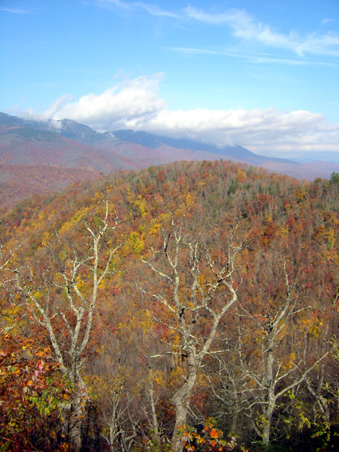
Photo - view from the Blue Ridge Parkway

The Black Mountains viewed from the Blue Ridge Parkway between Crabtree Falls and Little Switzerland. Still some leaves giving a last show of color.

Northeast of Spruce Pine, NC, an excellent motorcycle ride can be enjoyed on Penland Road. It diagonals between the the too heavily trafficked US 226 and US19E and is a welcome relief from the four lane bustle. Near the midpoint sits the tiny hamlet of Penland and the ancient Penland Post Office.

Photo - Penland Post Office

The flag was the giveaway the Penland Post Office was still in business. I've passed by many times, today I stopped to visit.

I’d passed by it many times, noting it’s location, but never paying it much attention as it appeared to be abandoned. Yesterday, seeking a spot to stop and consult my map, I found it’s very much alive and functional despite its antique appearance.

Photo - Penland Post Office

A place preserved in time, I had wondered if the Penland Post Office was just another abandoned relic of the past. Hardly the case.

The female postmaster seemed to welcome the intrusion of me poking about, snapping a few photos, and inquiring about the location. She tells it’s slated for restoration thanks to the efforts of the nearby Penland School of Crafts.

Photo - Penland Post Office

I suspect many of these boxes are tended only by ghosts, though it's hardly an isolated area. Generations have lived back in these mountains and continue to do so.

Discovering sights like these is one of the best reasons to get off the Blue Ridge Parkway and explore the wealth of back roads that weave throughout the Smoky Mountains. Were I to photograph and visit all of them I’d get little mapping done. Trust me, there are plenty more awaiting your discovery and the roads and motorcycle rides that lead to them are what keep me going.
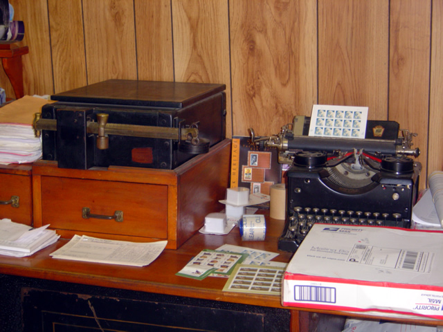
Photo - Penland Post Office

While I did see a computer in the back room, I suspect this typewriter and brass scale got just as much use.

The Blue Ridge Parkway projects an image of isolated mountain wilderness that doesn’t truly reflect just how many people have lived adjacent to it since times before there were cars and motorcycles. Think about it – something like popular Mabry Mill on the parkway could never have existed were there not a community that needed and supported it. Many of those communities persist and the roads which connect to and lie nearby the Blue Ridge Parkway are the gateways to discovering them. Discover America Rides Maps and find this wealth of hidden treasures.

_______________________________________________________________________________

Wayne Busch
Wayne Busch – Cartographer
– Wayne Busch lives in Waynesville, NC, where he produces the most detailed and comprehensive and up-to-date motorcycle pocket maps of the Blue Ridge and Smoky Mountains to help you get the most of your vacation experience. See them here – AmericaRidesMaps.com

See ME in Road Bike Magazine Sept Issue

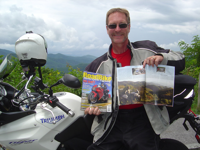
Photo - Wayne from America Rides Maps with copies of Road Bike Magazine

A nice feature article in Road Bike Magazine by Neal Bayley and Jim Miller

September, 2010 issue of Road Bike Magazine just hit the stands and my smiling face graces the pages. Look for the “Maggie Valley Mayhem” article.

wayne@americaridesmaps.com

http://AmericaRidesMaps.com

_______________________________________________________________________________

Wayne Busch

Wayne Busch - Cartographer


– Wayne Busch lives in Waynesville, NC, where he produces the most detailed and comprehensive and up-to-date motorcycle pocket maps of the Blue Ridge and Smoky Mountains to help you get the most of your vacation experience. See them here – AmericaRidesMaps.com
 

A Good Tip Leads to More Great Motorcycle Rides Near the Dragon

Droning west on the Great Smoky Mountains Expressway this morning, my mind tends to wander. The greatest challenge of the highway is simply maintaining the legal limit leaving plenty of brain cells free to engage in other things. My wife rides alongside on her Beemer so I have something to look at every once and a while and count my blessings of how fortunate I am to have someone like her to come along with me today. The thought that comes to the forefront is “Just how many motorcycles are there on the road?”

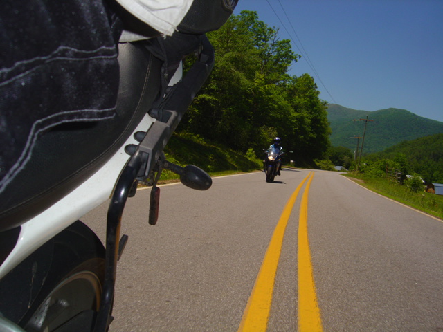
It was far easier to snap a photo on the rare straight stretches - overall the roads were wonderfully curvy.

As the main artery between the Blue Ridge Parkway and the Dragon at Deals Gap, it’s no wonder there are a lot of motorcycle riders on this stretch of highway 23 / 74. Both the Parkway and the Dragon draw millions of two wheeled vacationers to the area every year. Still, we’re a good bit east of Cherokee, the southern endpoint of the Blue Ridge Parkway, and within minutes we’ve passed scores of bikes headed in the opposite direction.

Photo-motorcycle-follows-nice-views

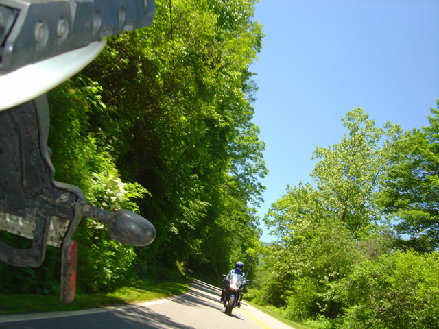
The roads we explored followed winding streams and creeks through rolling farm lands in a broad mountain valley. Plenty of great long range views.

We’re only going as far as NC 28 south today, about 45 minutes ride time to reach Lauada, and early on I wonder if we’ll pass 100 riders. I start to keep a loose count, but within 20 minutes or so it’s obvious the number will easily exceed that, and question answered, my mind drifts to other things. Turning off the highway onto two lane NC 28 we plunge south into the twisties and the bikes keep sweeping past us in the other direction.

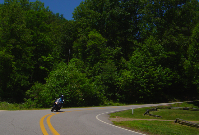
Photo - Jackie rounds a curve

The pavement is generally excellent for back roads, and you can enjoy the ride with gusto. Just be wary for a little gravel now and then.

I’m following up on a tip from Brad at the Deals Gap Motorcycle Resort. I spent some time with him Friday and he suggested I revisit an area I’d previously sketched over. I knew there were a couple of nice rides hidden away around Franklin, but he hinted they could be linked together to make a nice route. I’d done some scouting on the way home that day, and I saw promise. Today was the day we’d put it all together and see if it added up to getting a place on my America Rides Maps.

Photo - Jackie leads

The only traffic we found was when we approached the main road. If you stick to the perimeter route you'll see very little if any and it's more curvy and fun.

It took about four hours for a thorough assessment. We checked out every one of the roads in the area, confirmed the unpaved areas remained so (I only focus on paved roads), the dead ends were still dead, and the links that joined the roads together followed a more or less natural flow or the turn points were easy enough to locate. When we completed our task, I had assembled an outstanding ride that will certainly be the next addition to America Rides Maps. I’ll add it tomorrow morning.

Photo - a day meant for riding a motorcycle

I highly recommend NC 28. These roads make it even better. Great to know when there's traffic. You can jump off and enjoy the ride again.

I make a claim to know almost every great motorcycle ride from North Georgia to North Virginia. While I can’t claim I know them all, I’ve just learned another, and we saw only one other bike the whole time we were exploring the area. Now that’s what I’m looking for.

America Rides Maps