Big Updates to Motorcycle Ride Maps 2019

2019 brings big changes to America Rides Maps motorcycle maps of the southern Appalachians – more area, more detail, and new maps!
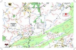
View of Map 11The desire to expand the areas covered by America Rides Maps into the Allegheny Mountains of West Virginia required a lot more work than expected. Since the maps connect and overlap, existing maps needed to be updated. I took this opportunity to include the most current data available and employ new skills learned since the last updates improving the detail and readability of what we currently had.
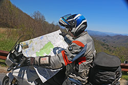
Wayne-with-mapWhen I began there were 13 pocket maps available. Now there are 16 motorcycle ride maps which cover the great motorcycle roads found in the southeast mountains. 5 existing maps were reworked and three new ones introduced. In addition, one of the two large format maps was completely overhauled in the process.

The first step was updating the 3 maps which cover Virginia – Map #1, Map #2, and Map #3.
For each of these maps we spent weeks on the road riding the old routes and scouting new ones, updating the information from direct experience and observation, visiting the sights, staying in the hotels and lodges, exploring and recording the new roads.

Map #1 – Great Rides Near the Start of the Blue Ridge Parkway Map 1 - Great Rides Near the Start of the Blue Ridge Parkway
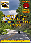
This map was expanded to cover a larger area including more of the border with West Virginia. The previous map cut off before it reached Marlinton, WV, it now extends further west. It also extends further south clipping more of Lynchburg. The old map did a good job covering the main roads, the new map focuses on including more of the smaller side roads which stem from them, we found a lot worth adding.

Map #2 The Roads Of Roanoke and BeyondThe Roads Of Roanoke and Beyond
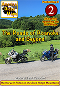
Map #2 got a significant shift to the west. The previous version covered more area east of Roanoke but there were few good roads there. The good riding is west of Roanoke so the focus shifted. Map #2 now extends well across the Virginia border into West Virginia adding a lot of new roads in a really beautiful riding area. We have some new favorite rides and places to visit and stay thanks to these explorations.

Map #3 North Carolina / Virginia Border RidesNorth Carolina / Virginia Border Rides
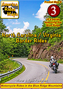
Map #3 was quite a challenge. It was expanded to cover more area both in Virginia and North Carolina. It was enlarged to include Pilot Mountain State Park & Hanging Rock State Park, a large section of the Blue Ridge Parkway, and get in the full run of VA 16 – “The Back of the Dragon”. This is one of our favorite areas to ride in and it is better represented and easier to understand than it was on the previous two overlapping maps.

Once the Virginia maps were ready we moved on to the new West Virginia maps which overlap and connect to them on the border.
Exploring West Virginia was a lot of work with a lot of rewards. I’ve not found such a variety of roads anywhere in the US. This first taste of it has us yearning to expand our coverage.

Map #10 West Virginia Border Rides – New River AreaWest Virginia Border Rides - New River Area
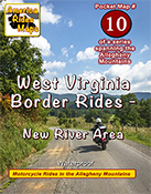
This new map covers the New River Gorge area and extends east to Snowshoe, West Virginia. The city of Beckley anchors the bottom left corner of the area shown. While compared to other maps there are not a lot of paved roads in large sections, more than 50 roads are featured and described and they are great rides. There are some outstanding scenic areas, lots of historic sights, and a handful of great little backroads for the adventurous rider to explore.

Map #11 West Virginia Border Rides – Coal CountryWest Virginia Border Rides - Coal Country
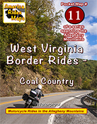
The highlight of this map is the region southwest of Beckley, West Virginia, where you find yourself riding in historic coal country. Numerous roads extend back through the mountains to reach the mines, a few of which are right on the roadway. It also covers the New River area south of Beckley and the scenic roads which wind along broad rivers through historic towns. It picks up VA 16 at the Tazwell end of The Back of the Dragon which continues as a great curvy ride into the city. More than 100 roads are highlighted and described.

Next, it was time to update one of the big maps.
Too much has changed over the last few years, the update was needed. The new maps looked so good I wanted to apply the new techniques so I rebuilt 100 Great Motorcycle Rides in the Smokies from scratch.

100 Great Motorcycle Rides in the Smoky MountainsPremium Map 100 Great Motorcycle Rides in the Smoky Mountains is my best work and best selling map. It was last updated in 2017. Nothing is as comprehensive or as detailed as this motorcycle ride map of the areas surrounding Great Smoky Mountains National Park but I knew I could do it better and I did. I had to add the new “missing link” section fo the Tennessee Foothills Scenic Parkway which was still in limbo at the last printing. Several motorcycle friendly locations on the previous version had gone out of business and there were new ones to be added. I wanted to push the limits and expand the map to include some really great roads not covered on any other map. Mission accomplished.

With the big map done, I used the data to expand another one of the pocket maps –

Map #8 – The Best Motorcycle Rides Near Smoky Park – NORTHBest Rides NORTH of Smoky Park
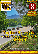
Once again I pushed to expand the map and add more roads. I also updated the points of interest and added a lot of new ones, several more waterfalls, motorcycle friendly stops, it’s a significant upgrade to this map of the area north of the park.

Finally, my attentions turn to the mountains of Northeast Georgia –

Map OR4 – The Best UNPAVED Roads in Northeast GeorgiaThe Best UNPAVED Roads in Northeast Georgia
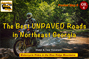
With 3 maps of the unpaved roads in the Smoky Mountains already completed, I set my sights on Northeast Georgia more than a year ago. Frustrated with the limitations of Forest Service maps of this rich off pavement riding area I knew I could do better. It took way too long to poke my wheels down every back road and trail I could find then sort them out, many adventures ensued. You won’t find a better dual sport map of this wonderful area.

Map #9 – The Best Rides in the North Georgia MountainsThe Best Rides in the North Georgia Mountains
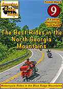
As I’d already built the base maps for the unpaved roads in NE Georgia, and discovered new stuff while exploring, it made sense to update the paved roads map as well. Expanded, more points of interest, more motorcycle friendly locations, etc. It really turned out nice.

I finished it all up as the winter weather arrived here in the Blue Ridge Mountains. With short days and freezing weather upon us I will now return to working on the digital versions of the maps and laying out the new explorations for the spring. It was a busy year. I hope the next one brings more road time. Don’t we all.

You can see the maps and order them online at AmericaRidesMaps.com
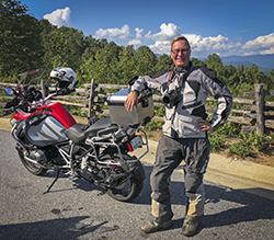
Wayne Busch - AMERICA RIDES MAPS
Wayne Busch – AMERICA RIDES MAPS

Printed in the USA on the highest quality waterproof and durable materials, these maps are specifically designed for the motorcycle traveler.

Pocket maps are easy to fold, fit in your pocket so they are always handy.

Order Online at
AmericaRidesMaps.com

Motorcycle Riding the Blue Ridge Parkway – Commuter Zones

Riding the Blue Ridge Parkway - commuter zones

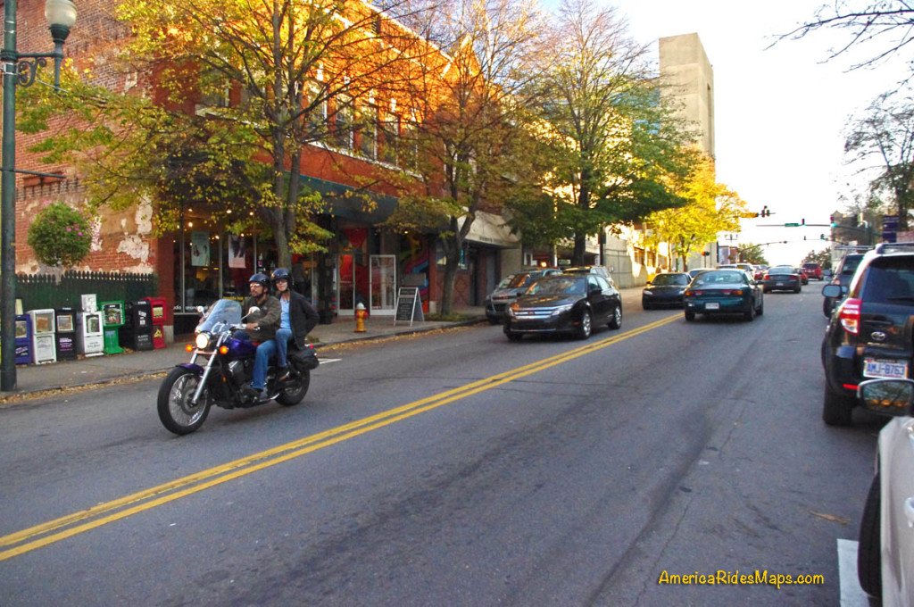
You have no clue you’re passing through some sizable cities on a Blue Ridge Parkway ride  – 10 minutes ride from a parkway exit puts you in the heart of Asheville, NC, a fun place to visit!

On a 469 mile long Blue Ridge Parkway ride you will pass through two cities – Roanoke in Virginia, and Asheville in North Carolina. Each has its “commuter zone”.

In both cities, the parkway weaves along the east edge of town then curves around to the south, though barely a hint of the surrounding neighborhoods are visible. Riding along you never see a downtown area at all nor any indication you are near a sizable city. It’s part of the magical illusion of a Blue Ridge Parkway ride. The views have been well protected over the years.

What’s a Commuter Zone?

There will be a handful of exits relatively close together as you pass through one of the cities on the Blue Ridge Parkway. For locals, the Blue Ridge Parkway is just one more road to get through town, a shortcut. A lot of local traffic hops on it to save time and zip an exit or two to the road they want.

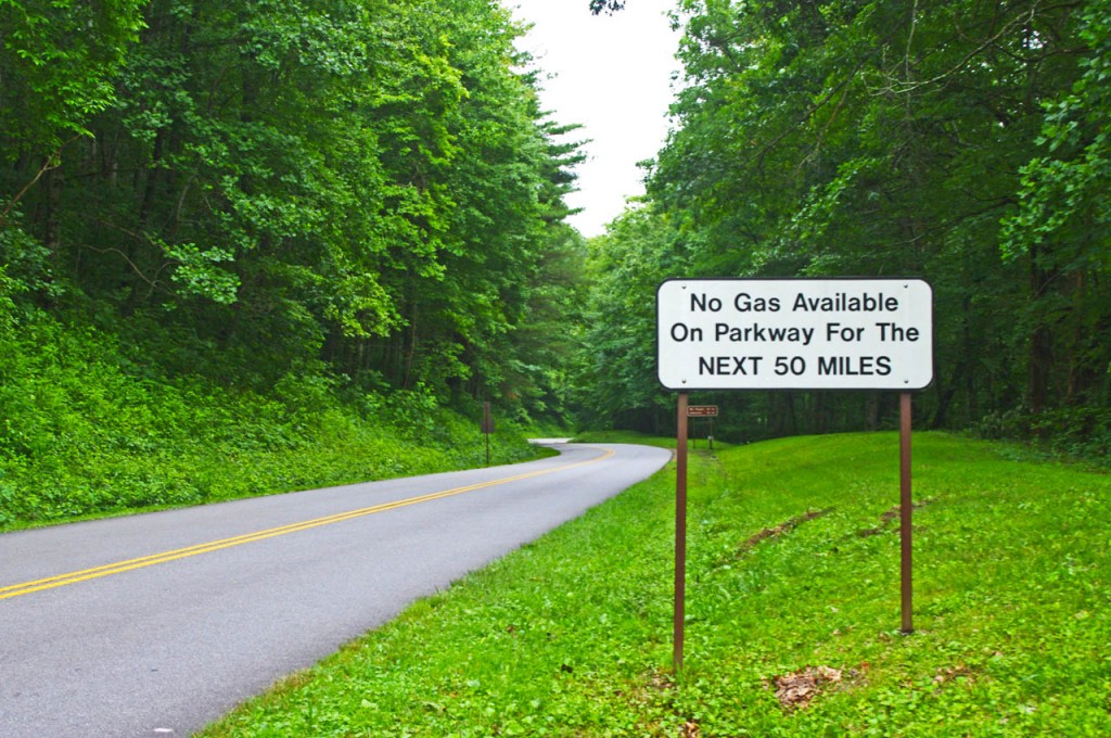
photo-no-gas-sign-on-blue-ridge-parkway

This sign is a legacy to when gas was available on the Blue Ridge Parkway. It should now read “No gas next 400 miles”. There is no gas on the Blue Ridge Parkway. Take advantage of close gas stations to the parkway in the commuter zones.

What you need to know about Parkway Commuter Zones –

Expect more traffic and more aggressive traffic in the commuter zones on the Blue Ridge Parkway. Locals are hopping on the parkway to save time and they may push the speed limit.

The speed limit drops in some areas and it’s more heavily enforced in the commuter zones. The Asheville commuter zone of the Blue Ridge Parkway went to 35 mph last year to try to slow down the local traffic. Watch for the signs.

Enforcement is heavier near cities, especially in commuter zones. More traffic means more resources assigned to deal with it. Watch your speed whenever you feel you are getting into a populated area. You can also expect more attention near popular areas along the Blue Ridge Parkway.

ranger on the parkway

Watch your speed and be alert in the commuter zones

Here are some places where I tell myself to roll back on the throttle when riding the Blue Ridge Parkway:

  • From the Start of the Parkway  in Virginia to Humpback Rocks
  • Peaks of Otter area in Virginia, near Buchanan
  • From 221 exit to 221 exit near Roanoke
  • Linn Cove Viaduct area near Blowing Rock
  • Moses Cone / Julian Prince Park near Boone
  • Altapass Hwy north of Spruce Pine / Little Switzerland
  • Crabtree Falls area
  • From Craggy Gardens through Asheville
  • The southern section of the parkway into Cherokee

Be aware of and alert for these commuter zones near the cities along the Blue Ridge Parkway. There are few signs on the road, but if you see any indication you are approaching a congested area be alert and ready to deal with increased traffic with a different agenda than you.

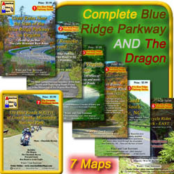
7 map Blue Ridge Parkway + The Dragon set

7 map Blue Ridge Parkway + The Dragon set

Get the maps!
http://shop.americaridesmaps.com/Blue-Ridge-Parkway-The-Dragon-Package-BRP12.htm

If you enjoy photos of motorcycle riding in the Blue Ridge and Smoky Mountains, like MY BLUE RIDGE MOTORCYCLING FACEBOOK PAGE.Facebook

____________________________________________________________________

wayne busch - Smoky Mountain Motorcycle Rider.com

Wayne Busch

– Wayne Busch lives in Waynesville, NC, where he produces the most detailed and comprehensive and up-to-date motorcycle pocket maps of the Blue Ridge and Smoky Mountains to help you get the most of your vacation experience. See them here – AmericaRidesMaps.com

____________________________________________________________________

Great Motorcycle Rides in North Carolina – Pisgah Triangles

Great Motorcycle Rides in North Carolina – The Pisgah Triangles Map

Great Motorcycle Rides in North Carolina - Pisgah Triangles motorcycle map

Great Motorcycle Rides in North Carolina – Pisgah Triangles motorcycle map – At least 4 variations, the 3rd is my favorite.

Great Motorcycle Rides in North Carolina – The Pisgah Triangles are some of the best motorcycle rides in the world. You’ll see spectacular views, wonderful waterfalls, and ride curves and twists that go on and on and on!

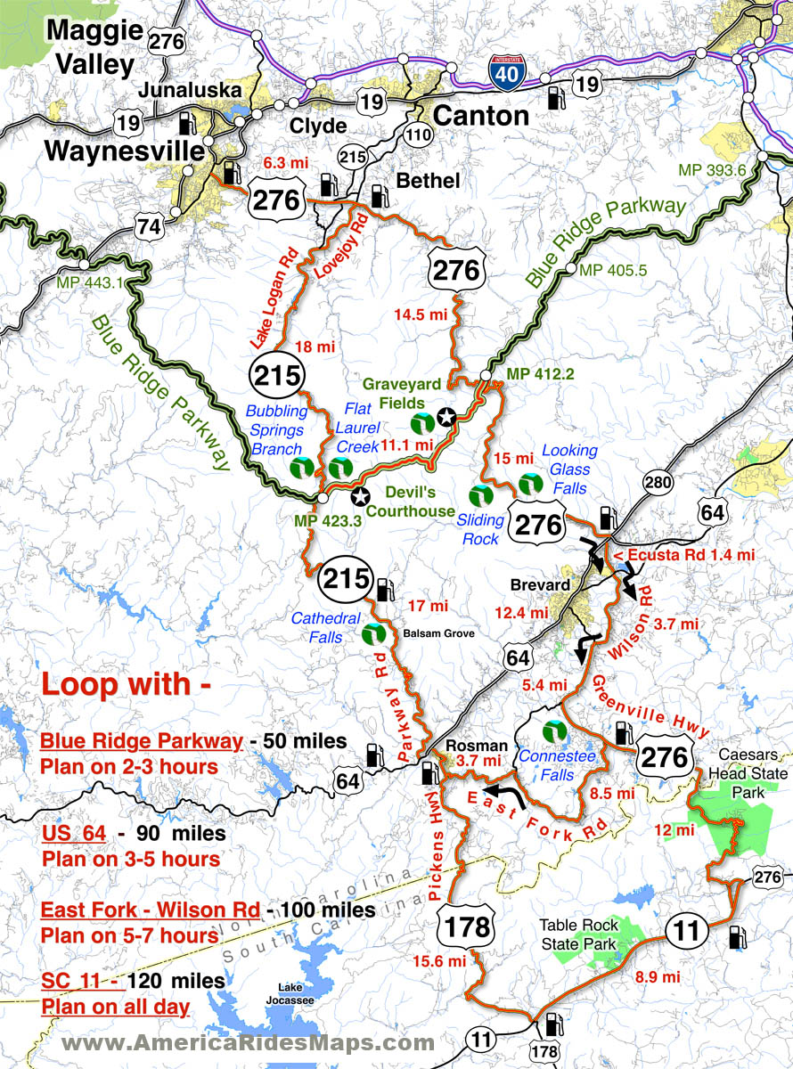
US 276 and NC 215 are two of the finest motorcycle rides you’ll find. Both roads run south from Waynesville / Maggie Valley forming a large upside-down “V”. Connections between these two long roads make 4 triangle shaped rides.  Ride a short fun loop or have an all day adventure!

Complete your triangle with – The Blue Ridge Parkway, US 64, East Fork Road,
or SC 11

Great Motorcycle Rides in North Carolina - Pisgah Triangles

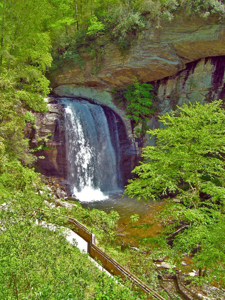
Great Motorcycle Rides in North Carolina – Pisgah Triangles – Looking Glass Falls on US 276 is one of the most visited roadside waterfalls in North Carolina

Roll into Waynesville or Maggie Valley and ask someone to direct you to the best and most scenic motorcycle rides and their finger will point you to the jagged southern horizon. Home to the highest and best section of the Blue Ridge Parkway, two of the roads that lead out of town and climb to the mile high mountaintops are drop-dead beautiful and filled with the curves and switchbacks that make a biker come alive.

The Pisgah Triangles is a name I use to describe this collection of great  motorcycle rides in western North Carolina as so much of it is through the wilderness of the Pisgah National Forest. These are four good options for rides, though are are several others, including some excellent unpaved forest roads for you adventure bikers. There are also roads which lead out to even more fabulous riding not shown on this map.

Great Motorcycle Rides in North Carolina - Pisgah Triangles - NC 215

Great Motorcycle Rides in North Carolina – Pisgah Triangles – NC 215 is the lesser known leg of the Pisgah Triangles, crossing the parkway midway. It’s a popular rest stop in the middle of the wilderness.

Any of these 3 roads – the Blue Ridge Parkway, US 276, and NC 215 are great motorcycle rides you never, ever, tire of enjoying on your motorcycle vacation trip. It’s the first place we local bikers head to as well. Here are 4 outstanding North Carolina motorcycle loop rides you can choose from to get the most out of your precious time while out motorcycle touring in the Blue Ridge.

Great Motorcycle Rides in North Carolina - Pisgah Triangles - Cradle-of-Forestry

Great Motorcycle Rides in North Carolina – Pisgah Triangles – Cradle-of-forestry is one of several stops on US 276, along with Pink Beds, Sliding Rock, Looking Glass Falls, Blue Ridge Motorcycle Campground, Jukebox Junction, …

While you could blast through the shortest loop in less than 3 hours, chances are you won’t. There are so many great views you can’t help but stop and admire them along the ride. The first of the Pisgah Triangles is the first motorcycle ride I recommend to visitors after the Blue Ridge Parkway – it’s that good.

Great Motorcycle Rides in North Carolina - Pisgah Triangles -NC-215-cathedral-falls

Great Motorcycle Rides in North Carolina – Pisgah Triangles -NC 215 – Cathedral Falls is hidden just off the road, but is worth the stop as there are 4 other waterfalls with just a short walk.

The second of the loops climbs to the Blue Ridge Parkway, then down into the next valley near Brevard and Rosman. If you want to include a few roadside  waterfalls in your motorcycle tour, this is the way to get in some good ones and enjoy some more great curvy sections of road. I usually avoid using US 64 through Brevard and the traffic on the 4-lane, as the 3rd loop is so much nicer.

Great Motorcycle Rides in North Carolina - Pisgah Triangles - US 276

Great Motorcycle Rides in North Carolina – Pisgah Triangles – US 276 junction with the Blue Ridge Parkway. As both NC 215 and US 276 connect, you can always hop up and take a quick break with the best of views.

The third loop is just a little tricky as you jump from backroad to backroad, but it is such a nice and scenic motorcycle ride it is worth the effort and one of my favorite motorcycle rides of all. Dodging south of US 64 gets you off the four lane and on to some great rides along trout rivers and streams. Hard not to come back smiling from this one!


Great Motorcycle Rides in North Carolina - Pisgah Triangles -

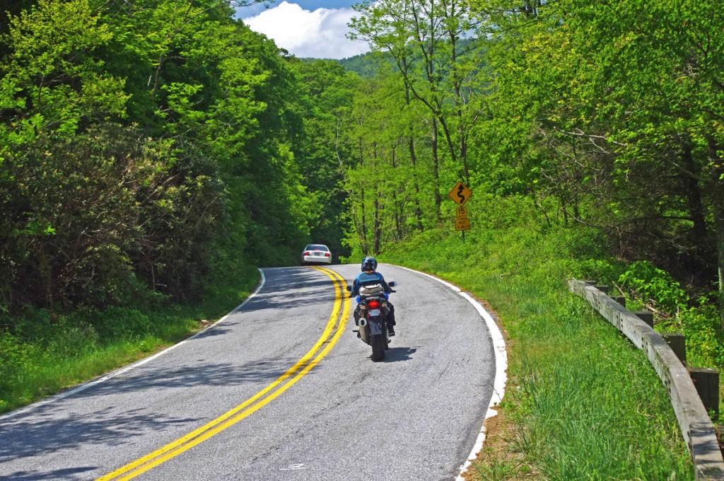
Great Motorcycle Rides in North Carolina – Pisgah Triangles – The climbs up to the highest section of the Blue Ridge Parkway then down to the next valley are packed with switchbacks, curves, and twists that are so much fun to ride!

The longest loop takes you into South Carolina to the very edge of the Blue Ridge Mountains, follows a long straight section of the Foothills Scenic Highway (SC 11), then comes back into North Carolina and a wonderfully twisty ride. The plunge into South Carolina from Caesar’s Head State Park is one you’ll remember!

Great Motorcycle Rides in North Carolina - Pisgah Triangles - view from Caesar's Head

Great Motorcycle Rides in North Carolina – Pisgah Triangles – Chances are you’ll miss this view plunging down from Caesar’s Head State Park into South Carolina and US 276 carves through the tight switchbacks.

Shortest loop 50 miles. 3 hours, more with stops.
Longest loop 120 miles – All day ride 

Routes:

Loop 1 – use Blue Ridge Parkway. 50 miles, 2 -3 hours or more.

Starts in Waynesville  – Leave downtown Waynesville on US 276 south to reach the top point of the Pisgah Triangles.

6.3 mi Continue straight at traffic light on US 276.

20.8 mi Turn left to follow ramp to the Blue Ridge Parkway at Wagon Road Gap.

20.9 mi Turn left at stop sing onto the Blue Ridge Parkway (towards Cherokee).

31.9 mi Exit the Blue Ridge Parkway at NC 215.

40 mi Turn Left at stop sign onto NC 215 (towards Canton). NC 215 becomes Lake Logan Rd.

 49.9 mi End of loop 1 in Bethel. 6.3 miles back to Waynesville on US 276.

Loop 2 – Use US 64. 90 miles, 3-5 hours

Starts in Waynesville  – Leave downtown Waynesville on US 276 south

6.3 mi Pass through the traffic light in Bethel.

20.8 mi Pass under the Blue Ridge Parkway

35.3 mi Turn right @ traffic light onto US 64. 

47.8 mi Turn Right onto NC 215 (Parkway Road).

64.8 mi Pass under Blue Ridge Parkway

90+ mi. Follow directions for loop 1 return to Waynesville

Loop 3 – Use East Fork Rd /  Wilson Rd. 100 miles, 5 -7 hours

Starts in Waynesville  – Leave downtown Waynesville on US 276 south.

35.3 mi Turn right @ traffic light onto US 64. Move into the left lane.

35.4 mi Turn left @ traffic light onto Ecusta Rd. Follow 1.6 miles to next traffic light at Old Hendersonville Highway.

37 mi Turn right, go about 200 yards, then turn left onto Wilson Rd. Follow Wilson Rd to US 276 (Greenville Highway

40.7 mi Turn left @ stop sign onto US 276 (Greenville Highway).

46.1 mi Turn right onto East Fork Road.

54.6 mi Turn left to stay on East Fork Road. Watch for gray metal barn on left near this turn. Follow East Fork Road to US 178 (Pickens Highway).

58.3 mi Turn right @ stop sign onto US 178 (Pickens Highway) and follow into Rosman.

59 mi Turn left @ traffic light when you enter Rosman to reach US 64.

60 mi Turn left at stop sign onto US 64

60.5 mi Turn right onto NC 215 (Parkway Road)

95.5 mi Turn left onto US 276 in Bethel. 6.3 miles to Waynesville.

Loop 4 – Use NC 11 – (Foothills Scenic Parkway)

Follow Loop 3 directions to mile 46.1. Continue south on Greenville Highway (US 276)  into South Carolina.

58.1 mi Turn right @ stop sign onto SC 11. Follow 8.9 mi.

67 mi Turn right onto US 178 (Moorefield Memorial Highway). Follow 15.6 miles to Rosman.

Return to Bethel using Loop 3 directions. 120 miles.

Here’s a video that shows riding in the area:

This is it. These are the rides you should do. They have everything you come to the mountains for. This is bucket-list quality stuff. These are some of the best motorcycle rides in North Carolina. Don’t miss the Pisgah Triangles on your next trip.

You find these great motorcycle rides on America Rides Maps #6 – The Best Motorcycle Rides Near Smoky Park – EAST  http://shop.americaridesmaps.com/6-The-Best-Motorcycle-Rides-Near-Smoky-Mountains-Park-EAST-NC017.htm

__________________________________________________________________

Wayne Busch

Wayne Busch – Cartographer

Total Rider Tech Logo

Learn Total Control

– Wayne Busch lives in Waynesville, NC, where he produces the most detailed and comprehensive and up-to-date motorcycle pocket maps of the Blue Ridge and Smoky Mountains to help you get the most of your vacation experience. See them here – AmericaRidesMaps.com

Wayne is an advanced motorcycle instructor for Total Rider Tech teaching Lee Parks Total Control Advanced Rider Courses. Isn’t it time you looked into advanced rider training to ride more confidently and safely? It can transform your mountain riding experience.  Total Rider Tech

____________________________________________________________________