The Motorcycle Ride that Shouldn’t Be There – Go with the Flow

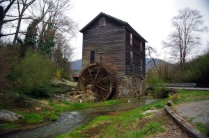
Photo - old mill in Tennessee

Sights like these are the rewards for exploring the back roads. So few ever see them.

“Turn around. Go back. You’re missing something”. The signs were there, little hints and clues that more was going on than meets the eye. It was near time to head for home but I couldn’t shake those compelling thoughts and I swung the motorcycle around.

I’m not unfamiliar with the area. I’d studied it in depth and detail and ridden through it seeking out great motorcycle rides of which I’d already found a slew. I was on such an exploration now following a road I’d selected as having a good chance of being a decent ride, and it had rewarded me with a nice twisty rolling romp through the foothills of English Mountain in Tennessee that my motorcycle seemed to enjoy as much as I did. Still, I felt there was more here.
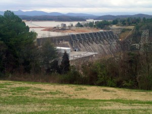
Photo - Douglas Dam, Sevierville, Tennessee

My travels included a stop at the Douglas Dam near Sevierville. While not very scenic in winter, it's a nice place for a break.

I wasn’t sure exactly where I was. It’s not that I was lost, I knew contextually where I was in relation to other roads and landmarks. But the road names were not familiar anymore, they didn’t match what I had planned out on paper. That happens often enough as I don’t so much ride by the suggestions on the map but by how the roads flow one into another – the natural route. I’d turned left at the stop sign to see where this new road connected to the main artery, but I’d seen it maintained it’s character to the right as well, and it was calling me back.

The natural flow of a ride is something thats very hard to pick out from a map or satellite imagery.  When a web of roads connected and intersect, there’s typically a path of least resistance. It’s the instinctual choice you make when two roads meet, the split second decision you make to follow the dominant or more interesting road as you cruise along. It’s the way that keeps you moving, keeps the ride going, it’s what you’re looking for.
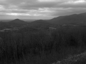
Photo - B&W view from the Foothills Parkway

It was a cool, damp, overcast day, a mood better captured without color. View from the Foothills Parkway on my way home.

I couldn’t ignore the clues. The old mill I’d stumbled upon meant this was a long established community that had been connected enough to support such commerce. There would be old roads leading to it. There was the sign for Hidden Caverns – roads to tourist attractions are usually well kept. As I started up the valley, the “Chains and 4-Wheel Drive Required in Winter” sign told me somebody had a reason to go this way, even when the snows come.

The climb was “steep as a mules face” and I expected the quality of the pavement to evaporate as I reached the heights, yet it maintained. Heck, there was even a painted line you could make out in places – that’s a good sign. I rolled on with pretty much certainty the road would just end when the mountaintop was reached, but it didn’t. It snaked around the crest a bit, then plunged down the back side. It was easy to pick the right path up high as all the connecting roads were unpaved, but as I cascaded towards the valley I went with the flow, following the natural course of one road leading into another. The lower I got the more certain I was this ride would lead to familiar territory, but where would it come out?

I finally came to a stop sign and recognized where I’d arrived. I knew this next road, it was one I’d already selected as a great motorcycle ride. It led to more. I then realized where I must have travelled, through an area where I didn’t think there was a decent paved road, an empty white space on the map no longer. It had already been a good day. This great motorcycle ride was the icing on the cake. I can’t wait to go back!

_______________________________________________________________________________

Wayne Busch
Wayne Busch – Cartographer
– Wayne Busch lives in Waynesville, NC, where he produces the most detailed and comprehensive and up-to-date motorcycle pocket maps of the Blue Ridge and Smoky Mountains to help you get the most of your vacation experience. See them here – AmericaRidesMaps.com 
Blue Ridge Parkway Opens Soon, Smoky Mountain Motorcycles Everywhere!

Motorcycle the Blue Ridge Parkway

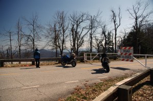
We parked our motorcycles at the Blue Ridge Parkway gates at Wagon Road Gap. It wasn't open today, but it will be soon.

I knew before we reached the top of the climb the gates to the Blue Ridge Parkway would be closed. The fresh layer of road salt as we glided through the last of the hairpin curves on our motorcycle ride up US 276 south of Waynesville, North Carolina, were evidence of the lingering snow I’d seen on the mountainsides last night. Thin sheets of ice on the roadside rock faces reminded me just how different the world is when you climb up high where the Blue Ridge Parkway crowns the ridge tops.

Photo - waterfall along Buck Springs Trail

Many come to enjoy the hiking nearby. One of several small cascades the Buck Springs Trail shares on it's 6 mile run to the Pisgah Inn.

In the midday warmth, the dusting of white had vanished, but it was not long gone. We found the gates closed at Wagon Road Gap, but a nearly full parking lot at the Cold Mountain overlook proved we were not the only ones who were eager to enjoy the emergence of spring via the nations most popular motorcycle ride.

Photo - Blue Ridge PArkway overlook - Cold Mountain

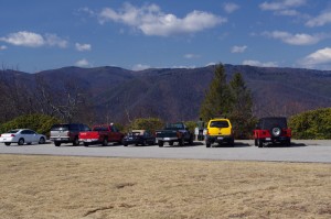
Cold Mountain Overlook at Wagon Road Gap, Blue Ridge Parkway - Even with the parkway closed, plenty came out to enjoy the hiking, the scenery, and the warm weather on such a nice day.

Photo - Jackie on her Beemer

Come on, Let's Go ! This is great!

It’s early for the Blue Ridge Parkway to be open to traffic at the south end. This is the highest, and in my opinion, the best section of the entire 469 mile motorcycle ride.  If you see just one piece of the Blue Ridge Parkway on your motorcycle vacation, this should be it, the section from Asheville to the south end of the parkway at Great Smoky Mountains National Park near Cherokee. Because it’s the highest section, it’s usually the last to open for the start of the spring season.

The number of outstanding roads that surround and connect to the Blue Ridge Parkway in this area is enough to keep you busy for a season and then some. It was just one stop on a great day of motorcycle rides that followed.  I think we passed more bikes then cars on our ride. If you had a motorcycle, you were out to enjoy it today.

Photo - view from Crabtree Mountain Road

A view from Crabtree Mountain Road north of Canton. You can see a portion of it as it snakes it's way through the pass. Soon, this will all be green and spring flowers.

We doubled back via US 276 then cruised through Canton and headed north on Crabtree Mountain Road. I’d forgotten what a steep climb it was and how tight the switchback  curves are that bring you to the nice overlook at the top of the mountain pass. Up one side, down the other, then follow the serpentine path of the stream that flows through the valley. On to NC 209, out to Hot Springs, then hop from one great motorcycle ride to the next until you’ve had your fill.

Photo - view form blue ridge parkway overlook

Before long, everything will be green and flowers!

It won’t be long until weather like this will be what we expect every day in the Smoky Mountains. The fields are already turning green. The first tiny leaves are emerging on the brush. Buds are fat and swelling almost ready to burst on the trees. Soon, the hillsides will explode with color as all that pent up winter energy is freed. From what I’ve seen so far, the motorcycles are ready for it. Are you?

_______________________________________________________________________________

Wayne Busch
Wayne Busch – Cartographer
– Wayne Busch lives in Waynesville, NC, where he produces the most detailed and comprehensive and up-to-date motorcycle pocket maps of the Blue Ridge and Smoky Mountains to help you get the most of your vacation experience. See them here – AmericaRidesMaps.com 

Rare Valentines Day Parkway Motorcycle Ride

I made my first motorcycle ride on the Blue Ridge Parkway today way earlier than expected. I found the gates open in Blowing Rock and I turned south to enjoy what winter had to show. A few deep snowdrifts still lingered along the road in shady spots, but most of the rest had melted.  It was good to be back on the nations most popular motorcycle ride. I can’t wait for the southern section to open.

Photo - Feb ride on the parkway

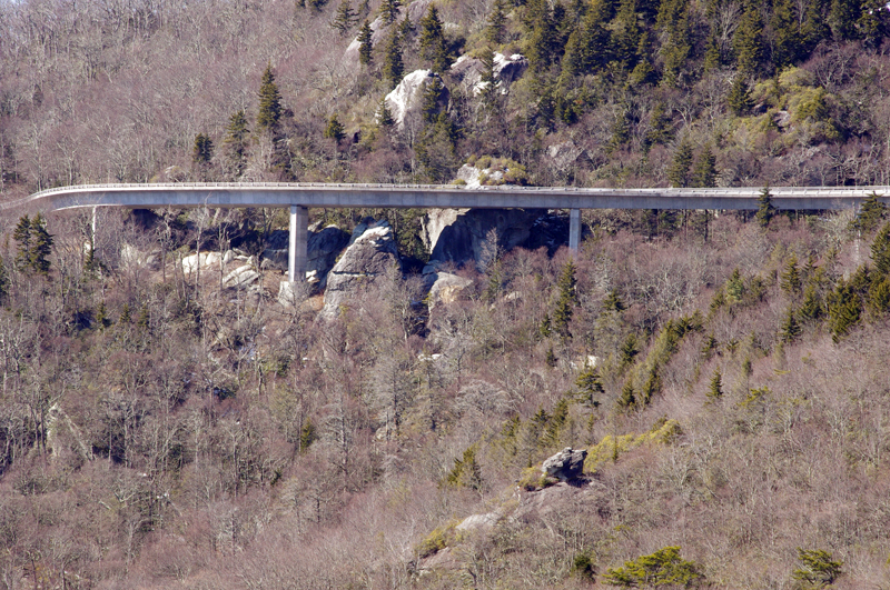
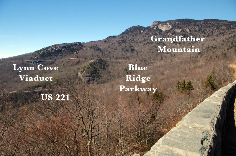
Stopped on the Blue Ridge Parkway near Grandfather Mountain. The Lynn Cove Viaduct is just above my bike. Beautiful day even with the high winds.

I enjoyed some great views of Grandfather Mountain and the Lynn Cove Viaduct. It was lined with snow and very pretty. The Blue Ridge Parkway is wonderfully free of the gravel and salt that covers nearly every other road in the Smoky Mountains right now, though there were a few spots with some sand on them. There was a high wind advisory in effect today and it was howling up on the ride, but I enjoyed it all the same. No trees had come down (yet), though there were some branches to dodge. Keep your eyes out for rocks in the road with the thaw, and crews are out working on projects.

Photo - Lynn Cove Viaduct

The Lynn Cove Viaduct. It's the newest section of the Blue Ridge Parkway, the last piece completed in 1983. It was cutting edge for the time.

My fun was too short as I hit the first road closure south of Grandfather Mountain. I ducked around it with one of my fun little shortcuts, but had to leave Blue Ridge Parkway in Linville. I couldn’t resist making up run up the Diamondback on the way home. It was in pristine shape and I was on the edge of my tires until the last few switchbacks near the top of the mountain. Here I ran into the sand and salt again and wiggled my way to the top as quickly as it would allow. Unfortunately the parkway was closed here at both exits. I’m still thankful for what I got!

Photo - grandfather Mountain

It's no wonder this area is so well known. There is a great view of the Viaduct from below on US 221 and it's an outstanding motorcycle ride from Grandfather Mountain to Blowing Rock as is the Blue Ridge Parkway.

Tomorrow, a short video of the ride up the Diamondback.

_______________________________________________________________________________

Wayne Busch
Wayne Busch – Cartographer
– Wayne Busch lives in Waynesville, NC, where he produces the most detailed and comprehensive and up-to-date motorcycle pocket maps of the Blue Ridge and Smoky Mountains to help you get the most of your vacation experience. See them here – AmericaRidesMaps.com 
Photos from Todays Tennessee Smoky Mountains Motorcycle Ride 12-10-10

I spent the day riding in Tennessee mostly around Newport. It’s not a particularly scenic area hence so few photos. Most of the motorcycle rides I explored were not up to the quality I was looking for, but I more or less expected that. Even so, I did add a few good connectors and found a couple of outstanding rides.

Photo - Rocky Flats Rd, TN

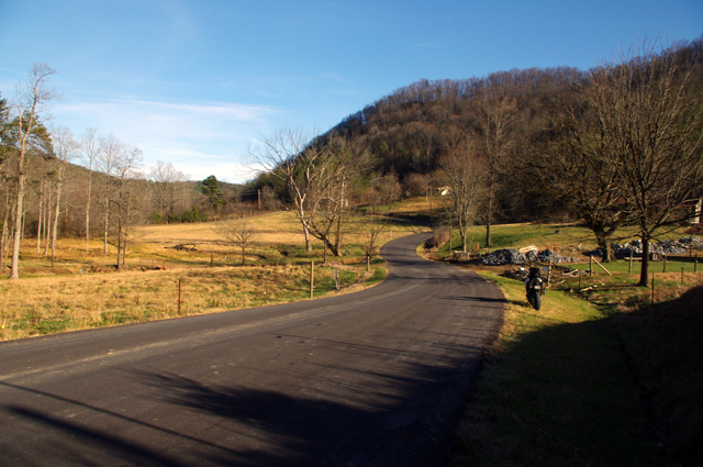
This is Rocky Flats Road on the north side of Great Smoky Mountains National Park. It's freshly paved and a very nice ride through some tight and hilly country.

There are a lot of little single lane roads, barely paved, in this region. It reminded me of some of the roads in western Virginia. If you’re into adventure riding you won’t run short of options. I strayed down a lot of bumpy little backroads, but few have enough scenery to make me want to revisit them. Unfortunately, when good scenery did present, the winter sun was so low in the sky I couldn’t get a decent photo.

Roadside creek in Tennessee

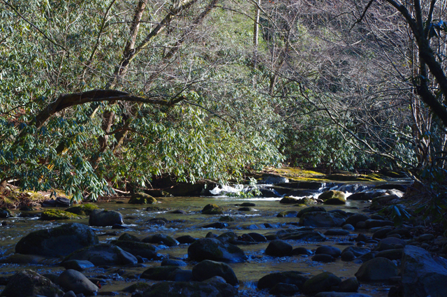
It's common for the back roads to follow creeks and streams. It was difficult to find sunny spots to shoot photos as the winter sun is so low and the valleys so steep.

I think I covered what was needed for the motorcycle ride map I’m working on. If not, I’ll be back through this way once I get into the next map. I’ve still got to head south again and make a sweep along the border with South Carolina and Georgia. There are a handful of possibilities I want to check on there.

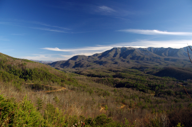
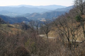
View from the Foothills Parkway

The Foothills Parkway was closed when I rode over this morning, but open on my return. I hit once patch of snow on it but it was no problem. I snapped this photo from an overlook.

The weather is supposed to turn for the worse with rain / snow moving in tomorrow. I’d chance another half day out but I’ve run out of tread on the rear tire. It will be Monday before I can get it replaced, though the coming snow may delay rides for several more days. Glad I got this done now.

_______________________________________________________________________________

Wayne Busch
Wayne Busch – Cartographer
– Wayne Busch lives in Waynesville, NC, where he produces the most detailed and comprehensive and up-to-date motorcycle pocket maps of the Blue Ridge and Smoky Mountains to help you get the most of your vacation experience. See them here – AmericaRidesMaps.com 
Photos from Todays Motorcycle Ride in the NC Mountains 12-9-10

It was noon before the temperature finally crested freezing, though I’m not sure it ever reached the predicted high of 35.  The sky was blue, the sun was shining, and the roads were dry. I couldn’t stand it any longer and had to get out on the bike.

Photo - motorcycle and snow in NC

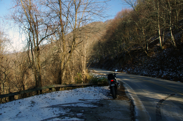
Shady spots on the north side of the mountains still held snow, but mostly it was gone. Roads were in pretty good shape. This is at Hookers Gap. Saw a Post-lady but no hookers. Probably too cold.

I ended up covering about 200 miles today, most of it riding back and forth on the roads which run between Liecester and Marshall, North Carolina. The majority of the key roads have already been discovered for this motorcycle ride map I’m working on. What I’m seeking now are  the best ways to link them together and show you how to make connected rides that keep you cruising along without hitting traffic or four lanes or the interstate.

Photo - Potato Branch Rd near Liecester, NC

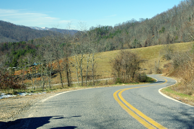
I think this is a section of Potato Branch Rd. It's one of my new favorites. You can link-ride it all the way back to the Blue Ridge Parkway or out to Hot Springs and beyond.

This area is only minutes from downtown Asheville. It doesn’t take long to “get lost” in the mountains surrounding the city. Outside of paving, these old roads have changed little in more than 200 years. They twist and wind through older neighborhoods, farmlands, homesteads and old barns, following the path of least resistance over mountain passes and along rushing streams and rivers.

Photo - A winter scene near Liecester, NC

Winter riding may not be as frequent as during the warmer months, but it has it's rewards. I enjoy it as much as the rest of the year. This might be Early Mountain Road.

I also took a ride over by Cherokee to investigate a road which I thought I’d overlooked. As is too often the case, there was a good reason to ignore it – it was another one of those half-paved roads that lead up into mountain coves. They start out nice enough but once the grade gets steep the pavement ends. Rarely does one go through and you can waste a lot of time riding up dead end roads. I’m out discovering those roads which DO go through and are worth the ride. It was a very successful day.

_______________________________________________________________________________

Wayne Busch
Wayne Busch – Cartographer
– Wayne Busch lives in Waynesville, NC, where he produces the most detailed and comprehensive and up-to-date motorcycle pocket maps of the Blue Ridge and Smoky Mountains to help you get the most of your vacation experience. See them here – AmericaRidesMaps.com 
Fall leaves – Photos from The Snake Motorcycle Ride

With such a beautiful day I was itching for an excuse to get out of the office, onto my motorcycle, and enjoy it when an email came in from David at the Shady Valley Country Store at The Snake Motorcycle Ride in Tennessee. He needed to be restocked on maps, and I was curious about a recommended road in the area – Denton Valley Road. Thats all it took.

Photo - Fall leaves on the Snake - US 421

The were some nice spots of fall color on US 421 a.k.a. "The Snake" yesterday. I was delivering a load of maps to the Shady Valley Country Store.

The big question was “How to get there?” Normally I’d take the Blue Ridge Parkway north to Linville, then jump on the back roads to skirt around the traffic in Boone. Knowing the Blue Ridge Parkway would be heavy with leaf peeping traffic, I considered going east to take the most common routes, but I also knew US 321 would be clogged with traffic and I’d get held up going through Boone. That left a western approach, so I went to Asheville, then up I-26 to US 19E from which I could jump on the back roads once I neared Elk Park. Looking back, I should have just followed the back roads all the way. I got held up in the construction on US 19E and could probably have made the trip in the same amount of time and had a lot more fun. Time was an issue as it was after noon before I left the house.

Photo - Fall leaves on The Snake - US 421

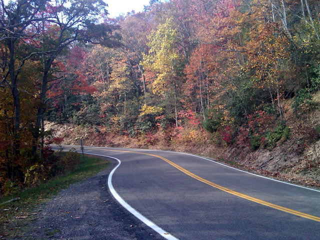
I snapped this photo just before I started down Denton Valley Road from US 421. The sun hit just right, the colors are real, not enhanced. I tried to tone them down, but decided to go with what the camera captured.

It was nearing 4 PM when I concluded my business at the Shady Valley Country Store and continued west on US 421 enjoying the twists and curves of The Snake to reach Denton Valley Road. It was a decent ride, though I hadn’t researched it well enough and ended up spending the next hour and a half exploring it and the roads which connect to it to determine the best and most natural routes. I rolled into Bristol, Virginia, around 6 to refuel and resigned to taking the Interstates back home as it was the most efficient course. It’s not the first time I’ve made that trip in the dark, and unprepared to be out so late I once again suffered the chills of going through the high pass on I-26 at Buckner Gap at night – it ‘s always cold there.

I pulled into the driveway at 8PM, shivering but happy after a decent 350 miles and a collection of new roads to add to America Rides Maps collection.

_______________________________________________________________________________

Wayne Busch
Wayne Busch – Cartographer
– Wayne Busch lives in Waynesville, NC, where he produces the most detailed and comprehensive and up-to-date motorcycle pocket maps of the Blue Ridge and Smoky Mountains to help you get the most of your vacation experience. See them here – AmericaRidesMaps.com
Video – Fall Leaf Status – a Motorcycle Ride on NC 209

http://www.youtube.com/watch?v=en5xcyY_kcc

A compilation of video clips from a weekend motorcycle ride to Hot Springs, North Carolina to show the current status of the fall leaf color in the Smoky Mountains.

Jackie and I have been out enjoying the fall colors at every chance. I shot this video on an afternoon ride out to Hot Springs to see what the leaves looked at in the lower altitudes. Some of the leaves have already dropped at the higher elevations on the Blue Ridge Parkway. We saw some nice color near Linville and also near Soco Gap and the lower areas of the Blue Ridge Parkway near Waynesville.

There’s still a surprising amount of green on the trees so this show will go on for a while longer. It’s not as dramatic as when everything comes in at once, rather, you stumble across pockets of it here and their that are really nice. I hope the mild weather continues as I have more roads to explore for America Rides Maps before the winter starts to limit my rides.

_______________________________________________________________________________

Wayne Busch
Wayne Busch – Cartographer
– Wayne Busch lives in Waynesville, NC, where he produces the most detailed and comprehensive and up-to-date motorcycle pocket maps of the Blue Ridge and Smoky Mountains to help you get the most of your vacation experience. See them here – AmericaRidesMaps.com 
Great Motorcycle Rides North of Asheville Discovered

It’s not often I have such a successful day when out exploring for new motorcycle rides to add to my maps but Friday was one of the best. Most of the roads I evaluate don’t measure up against my strict standards – low traffic, engaging scenery, and a challenging and fun motorcycle ride. Nearly every road I explored turned out to be good enough to add to my map of “The Best Motorcycle Rides North and South of Asheville, NC”.

Photo - river north of asheville

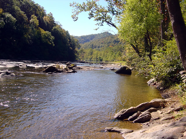
Most of todays rides were through the valleys near rivers. The twisty roads hug the banks.

The weather was ideal – atypically warm, sunny, and clear. The first hints of fall color were starting to emerge in places. Most of that is concentrated in the highest elevations right now, see the post to follow for some photos of the best color. The bulk of todays riding was searching out roads to link and connect to the already outstanding rides previously discovered.

Photo - river north of Asheville

I stopped here for a break along NC 197. It's a great ride as are the roads which connect to it.

I had been avoiding the area around US 19W due to the construction to widen the road to 4 lanes. Part of the mission was to discover the side roads which skirt around it. That construction will be going on for quite some time. I found a bunch of them.

Photo - The lake at roaring Creek, TN

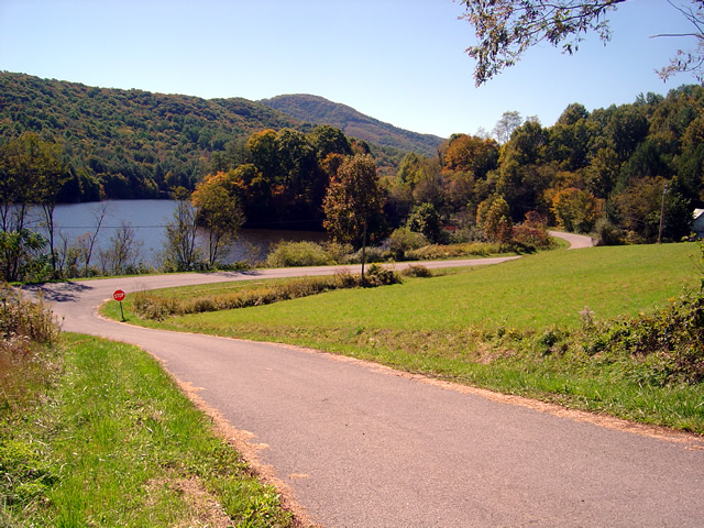
You can see a hint of fall color near this lake along Roaring Creek Road in Tennessee.

I also located a nice loop ride south of Johnson City, Tennessee, a good road to make loops near Roan Mountain, and quite surprising, still more great rides near Little Switzerland and the Diamondback. Much of the riding this trip was down low, through the valleys and along the rivers which are rides you can do pretty much all year round, places to go  after the Blue Ridge Parkway has closed for the winter season.

Photo - Stopped near Roan Mountain

This road turned out to be a great way to make a loop ride when doing the popular ride over Roan Mountain. There is one very short but well maintained unpaved section.

I’ll be adding these new motorcycle rides to the map  The Best Motorcycle Rides North and South of Asheville, NC” this week. It’s almost done with the upgrade to the new and improved format slow but sure.

Photo - mountain view

The skies have been unusually clear lately and the long range views are outstanding.

I got some great photos of the start of the fall color in the higher elevations on the Blue Ridge Parkway. You’ll find some nice stuff starting near Boone and Banner Elk, in the area around Mt. Mitchell and the Black Mountains, not so much near Craggy Gardens, and then some north and south of Asheville. It’s still a little early, the peak will come next weekend, though it will continue through the lower elevations for a while. Next post will show you some color.

America Rides Mapshttp://americaridesmaps.com 

_______________________________________________________________________________

Wayne Busch

Wayne Busch - Cartographer


– Wayne Busch lives in Waynesville, NC, where he produces the most detailed and comprehensive and up-to-date motorcycle pocket maps of the Blue Ridge and Smoky Mountains to help you get the most of your vacation experience. See them here – AmericaRidesMaps.com
 

It’s Verified – This Motorcycle Ride is HOT

Scanning the blogs and forums I often stumble across the discussion Motorcyclist vs. Biker. I rarely get into it as it’s never resolved. I believe I fall into a separate category – Rider. For me, it’s all about the ride. I don’t care what I’m riding. I don’t care what my image is. I don’t care what you ride or how you look. For me it’s getting as much out of the ride as I can. It’s all about the ride.

<insert gratuitous Blue Ridge Parkway picture here>

Photo - View from Craggy Gardens Overlook

Gratuitous Photo 1 - Amazingly clear skies from the Blue Ridge Parkway. That brown stripe in the distance is I-26 more than 22 miles distant. Visibility must have been nearly 50 miles this day.

Thats why I do what I do. I constantly seek out the best rides. It’s the best job in the world. When I find them, I share them with you, mostly through my motorcycle pocket  maps. A couple weeks ago I literally stumbled across a ride while exploring near Banner Elk, North Carolina. It’s 13.8 miles long which puts it in the same range as the Dragon at Deals Gap and the Diamondback at Little Switzerland. I had just been up at the Snake in Shady Valley. On my way home I used the rest of the afternoon (which turned into a night ride home) exploring.

<insert another gratuitous Blue Ridge Parkway photo here – making you work for it>

Photo - Blue Ridge Parkway View

Gratuitous Photo 2 - View from the Blue Ridge Parkway - The Smoky Mountains got their name from the blue haze which is primarily caused by moisture in the air. Clear and warm days are so rare you should treasure them.

It wasn’t the best of conditions. That recent big hurricane was passing off the coast. Winds were gusting bringing down limbs and debris. Spits of rain had dampened the roads. The skies were dark. I didn’t care. When seeking out roads I’m on a mission.

<Why doesn’t he just tell us about this this road?>

On the first pass through I paused to takes notes. The ride had been a handful. It was certainly challenging. Looking at my notes I actually wrote, “But was it fun?”

<Wait for it>

The return ride was confirming and answered the question with a resounding “Yes!” As the storm broke I continued on and added another superb ride to my list. Then another good side road. I realized I’d overlooked an area that could be a gold mine.

<Get to it man, or I’m outta here>

The ride haunted me. I kept thinking about it. Was it really that good? Two passes was not enough. I needed to ride it again. So I did. It was better than I recalled.

<Ok.> You’ve been overly patient.  Here’s the scoop:

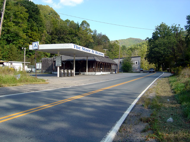
The road has two names over its length. On the south end it starts as Beech Mountain Road. Midway it changes to Flat Springs Road. It connects Banner Elk Highway (NC 194) to US 321. Here are photos to help you find it. I’ll describe it from south to north, from Banner Elk Highway to US 321.

Photo - Start of ride

This abandoned gas station/store on Banner Elk Highway (SR 194) alerts you to the start of the ride. The road is just beyond it.

It starts off easily enough. Gentle straights with a few decent turns. A couple miles in it gets downright squirrely. You enter a series of tight curves, some of them first gear, with the occasional more or less straight section. Be wary of catching too much speed on these  easier portions as they are punctuated with screaming tight curves. Carrying any speed through this road has you flicking and throwing the bike around. It rarely lets up at all.

I was going to get more photos of the road, but I;

1) realized one curvy road pretty much looks like another in a photo, and

2) I was having too much fun to stop

Photo - view from road

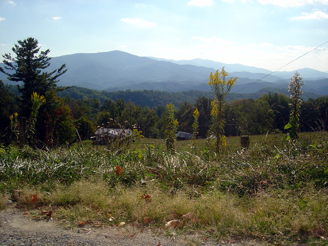
One of the views from Beech Mountain Road.

While it’s not particularly scenic, I did pause at one point to get some photos when a good view presented.  You’ll just have to trust me. It’s curvy. It’s fun. I wouldn’t be writing about it if it wasn’t.

Photo - My bike on Beech Mountain Road

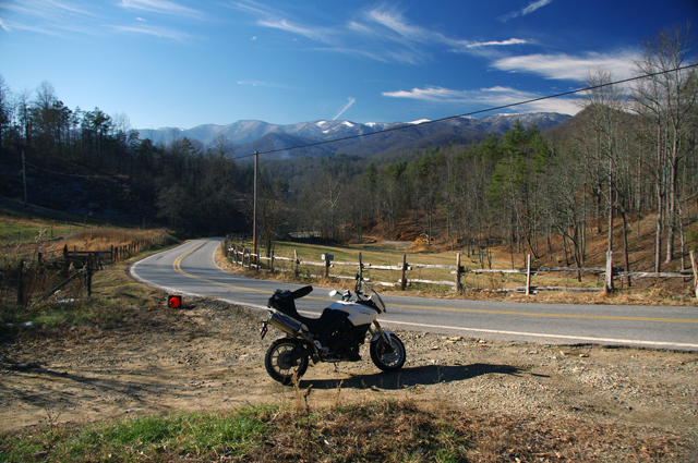
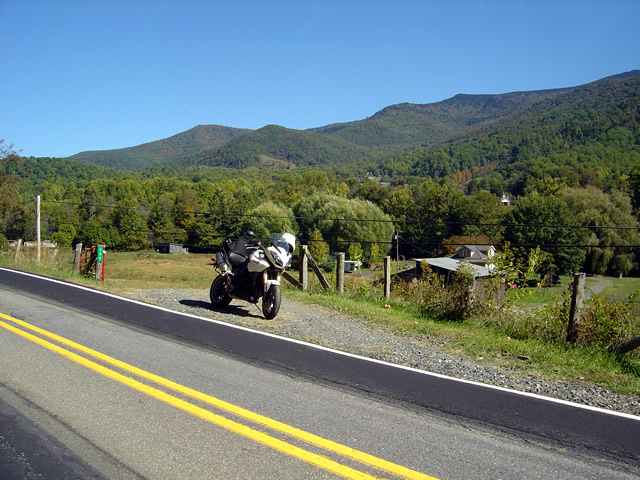
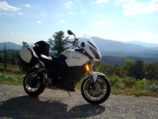
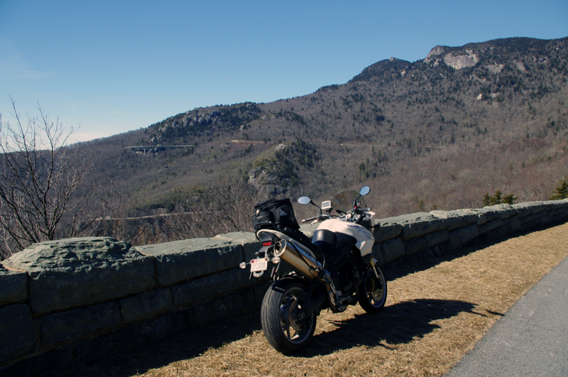
Another view from Beech Mountain Road - I think that's Roan Mountain behind my Triumph Tiger.

It’s a good road to know about as it lets you pass to the north without going through the traffic and congestion of Boone. It saves you time. It gets you somewhere and it’s useful.

Photo _ view of start of road from US 321

This is what to look for from US 321. Flat Springs Road makes a sharp climb with sharper curves. There's a dilapidated building to the left.

It does get some local traffic, and if you time it wrong you might run into school buses who know this shortcut. Opportunities to pass are rare and may have your spinchter puckering. Watch out for gravel in some turns.

Photo - view from nearby road

This photo is from another road in the area. Though challenging, it had way too much gravel dragged on it from the local traffic. The other roads stay cleaner.

The photos show the landmarks to help you find it at either end. The roads it connects to are good rides. This one’s good enough I have to give it away, but only because I’ve found more great roads nearby.

Photo - view from road

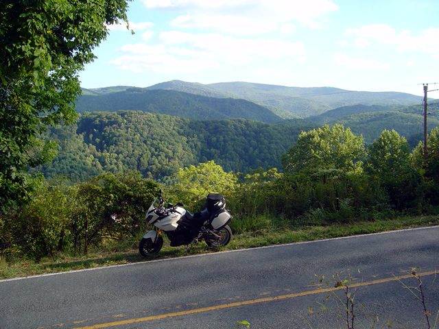
One last view of what I think is Roan Mountain. It's not the rare views that make Beech Mountain / Flat Springs Roads good, it's the ride.

I’m still discovering more roads in this area. I’ve got more sleepers in my quiver, more roads I need to ride again before I decide if I really like them and want to add them to my maps. I’m mighty picky. But this is one you deserve to know about. It’s that good.  It’s all about the ride.

Let me know what you think of it and don’t be surprised to see a white bike flashing by. I’ll be using this road whenever I can.

_______________________________________________________________________________

Wayne Busch

Wayne Busch - Cartographer


– Wayne Busch lives in Waynesville, NC, where he produces the most detailed and comprehensive and up-to-date motorcycle pocket maps of the Blue Ridge and Smoky Mountains to help you get the most of your vacation experience. See them here – AmericaRidesMaps.com


Video – The Diamondback Motorcycle Ride Near the Blue Ridge Parkway

http://www.youtube.com/watch?v=wmUlsQzX-fw

Ride along with Jackie (from America Rides Maps)  as she careens down the Diamondback Motorcycle Route. Accessed from the Blue Ridge Parkway, this is one of those side roads you should add to your motorcycle vacation plan. The Diamondback is one of the big three motorcycle rides in North Carolina, joining the Snake and the Dragon in the pantheon of classic and challenging rides. Included are scenes from the Switzerland Inn, one of the top motorcycle friendly destinations on the Blue Ridge Parkway.

You can find videos of other great Smoky Mountain motorcycle rides, video tips, and more at America Rides Maps YouTube channel – http://www.youtube.com/user/americaridesmaps

_______________________________________________________________________________

Wayne Busch

Wayne Busch - Cartographer


– Wayne Busch lives in Waynesville, NC, where he produces the most detailed and comprehensive and up-to-date motorcycle pocket maps of the Blue Ridge and Smoky Mountains to help you get the most of your vacation experience. See them here – AmericaRidesMaps.com