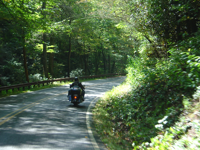
Which is the Best Town to Stay In when Riding the Smokies?

There is no “one size fits all” place for motorcycle riders touring in the Smoky Mountains. Each has it’s advantages and disadvantages, strengths and weaknesses depending on what you want to get out of your motorcycle trip.
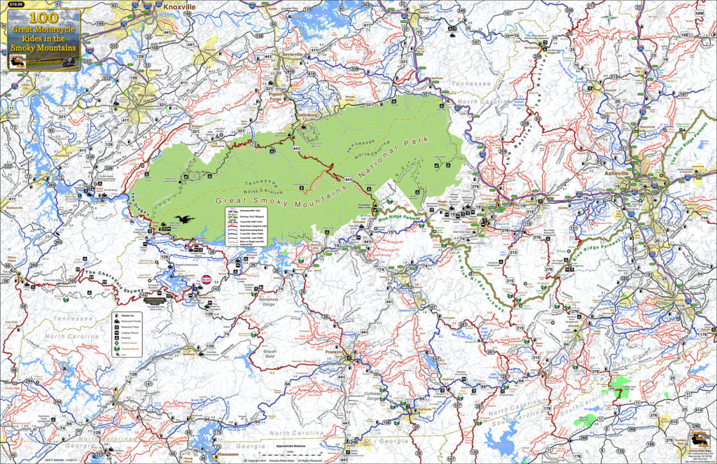
100 Smoky Mountain Rides Map

100 Smoky Mountain Rides Map

Great Smoky Mountains National Park

Great Smoky Mountains National Park takes up a huge chunk of real estate on the North Carolina / Tennessee border. Staying within the park means camping, and numerous options present. You’ll find these campgrounds fairly busy and congested though that also means basic facilities are assured and they are in stunningly beautiful settings. It’s nice from a camping standpoint, but you’ll be starting and ending each day on the few park roads as you commute to the surrounding areas cutting into your ride time each day.
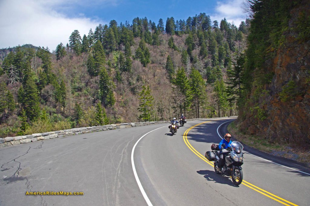
US 441 - Great Smoky Mountains National Park

US 441 – Great Smoky Mountains National Park

Outside the Park – Towns around the park can be divided by compass direction – north, south, east, west. Each of these areas is distinctly different reflected in the towns within.
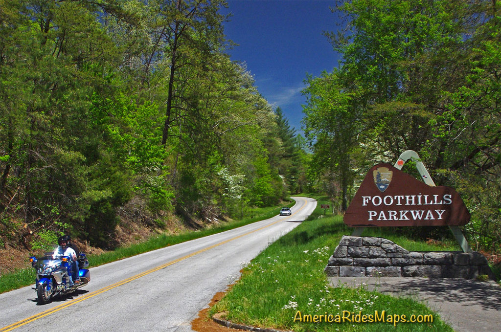
Tennessee Foothills Scenic Parkway

Tennessee Foothills Scenic Parkway

North of the Park:

Gatlinburg / Pigeon Forge – Tourist Mecca. Easy to get to and just half an hour south from Knoxville, these towns are dominated by tourist attractions like Dollywood, Ripley’s, Ober Gatlinburg, the Space Needle, Smoky Mountain Opree, and all kinds of venues geared to kids, families, shopping, nightlife, and the scenic park views. It’s a busy, bustling, and energetic place with loads of places to stay. Riding in this area is comparatively limited and the major roads congested. North of the park the mountains quickly subside into the broad Tennessee River Valley. The riding is to the east and west, look to the lesser traveled valleys and back roads. South takes you into the park.

Townsend – West of the big towns, Townsend stretches along the Little River into the park. It has a large tourism focus but is not as built up. Riding to the east means passing through the big towns, to the south is one entrance to the park. The Tennessee Foothills Parkway takes you west to US 129 on the north side of The Dragon and access to the western rides.

Cosby / Newport – This is pretty rural country except for the main road (US 321) which passes though it. The tourist focus diminishes as you stray north from the park to Newport and it’s more characteristic of the east side of GSMNP. For ADV riders, it sits on the edge of some decent unpaved riding in the Pisgah National Forest.
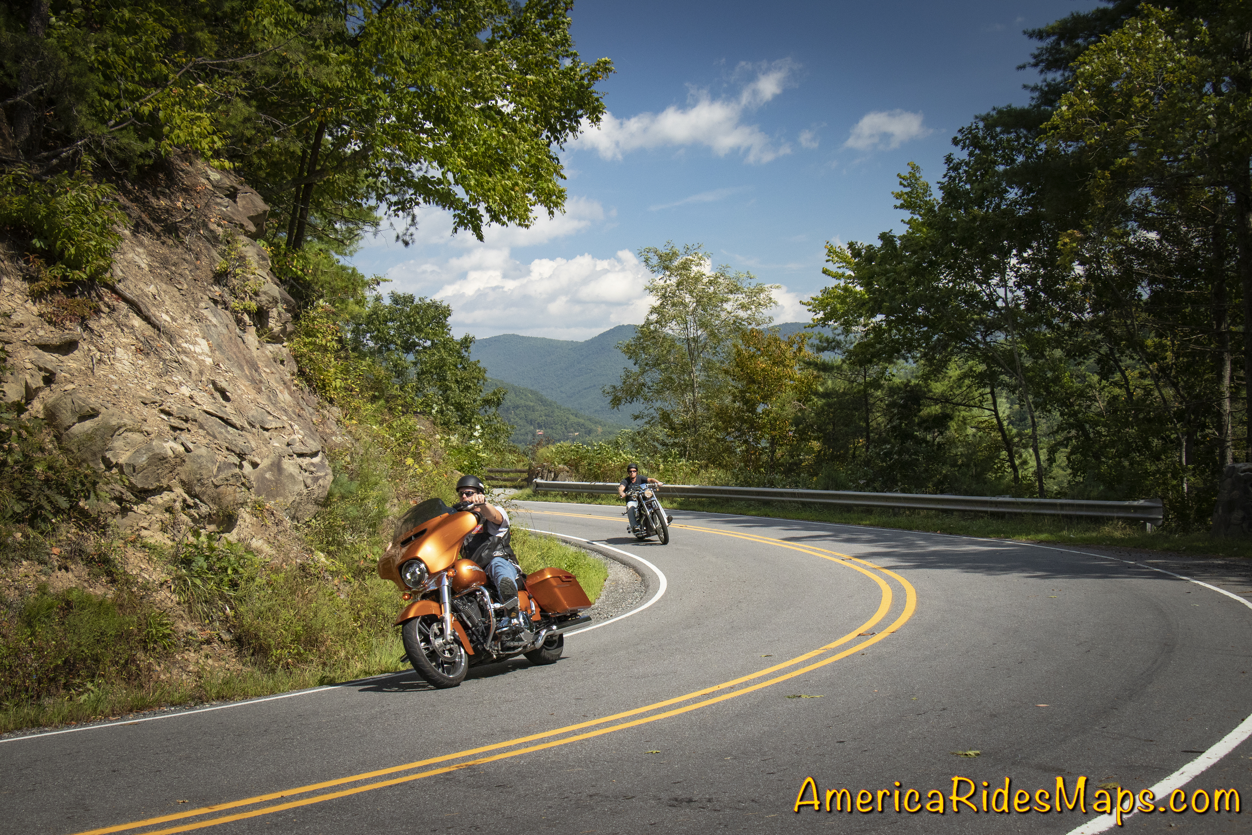
NC 209 - The Rattler

NC 209 – The Rattler

East of the Park:

Hot Springs – The area on the east side of GSMNP is dominated by the Pisgah National Forest. The mountains continue their arc north from the park to the highest of the peaks still miles distant. This area is rural and undeveloped. The few roads that do run through it are outstanding mountain rides, even Interstate 40 cutting through the Tennessee River Gorge is spectacularly scenic. Small mountain towns dot the landscape, Hot Springs is one of them. The historic town has limited places to stay and eat and a campground on the French Broad River.

Asheville – A vibrant and beautiful small city. The Blue Ridge Parkway passes through it. You’ll find ample places to stay in the surroundings, and the city traffic can be escaped fairly quickly. Known for its food and beer culture, parking is an issue to the point walking is the way to go when downtown. You’ll be paying city prices but also have access to some luxurious and scenic places to stay if that’s your style.
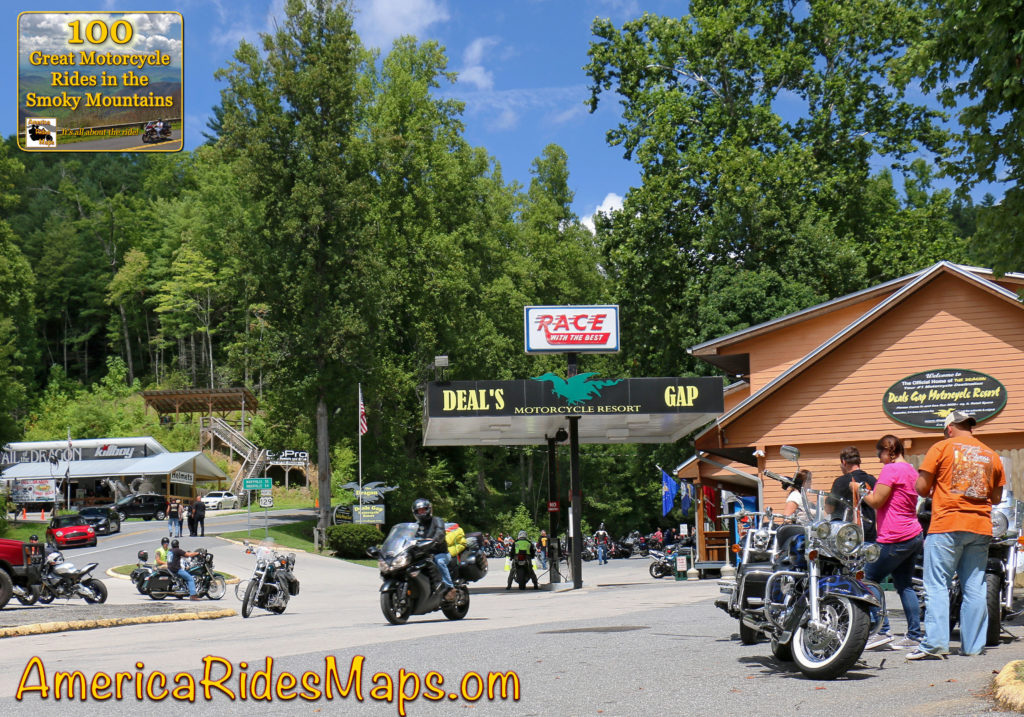
West of the Park: 

Deals Gap – Both south and west of the park, Deals Gap sits at the NC end of The Dragon. It’s relatively remote with few lodging options, but if you’re a Dragonista it’s heaven.

Robbinsville – at the crossroads of The Dragon and the Cherohala Skyway, Robbinsville is a small town. There’s one large motel, a few motorcycle centered lodgers, and a handful of restaurants. There’s a nice mix of riding in the surroundings.

Tellico Plains – across the Cherohala Skyway, Tellico Plains is a small town. You find a handful of restaurants, a few lodgers, and camping nearby. The best riding is to the east and south, a loop north takes you to the Dragon.

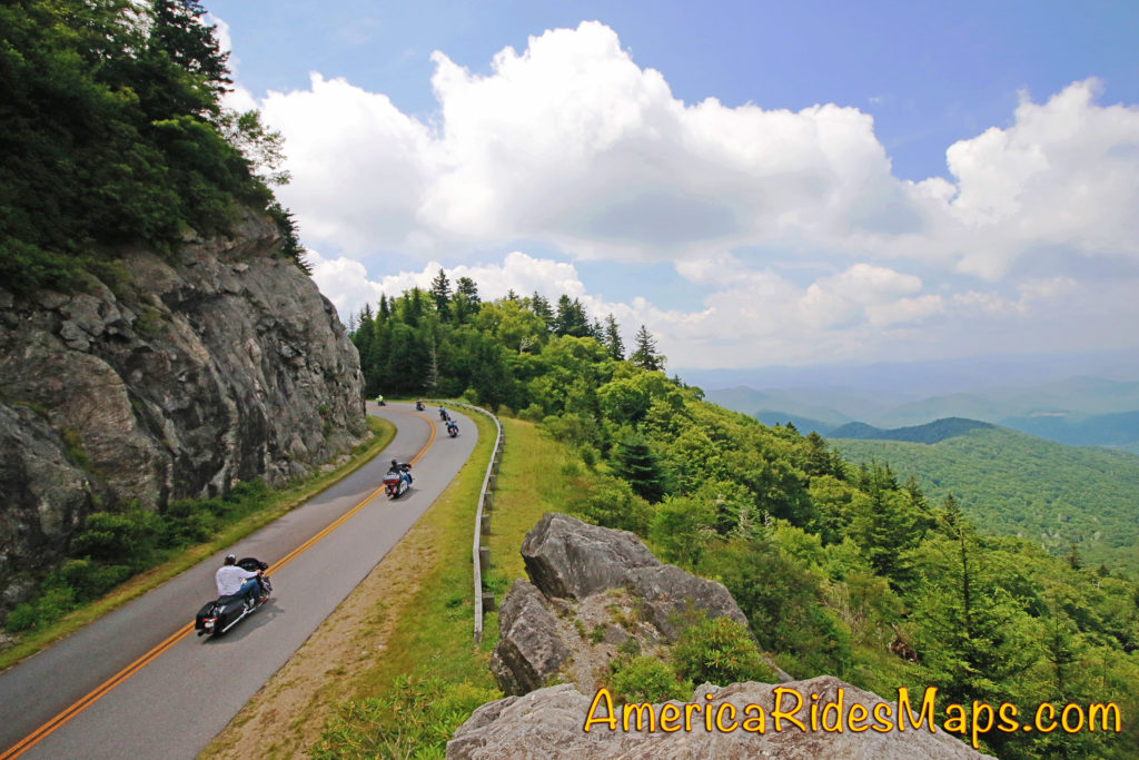
Blue Ridge Parkway

Blue Ridge Parkway

South of the Park:

Waynesville – The largest town in western North Carolina hosts the best food west of Asheville and a popular downtown. Lodging options are scattered. It’s at the hub of the best riding with great roads in every direction. The are numerous roads leading from town which intersect the Blue Ridge Parkway and the Land of the Waterfalls to the south.

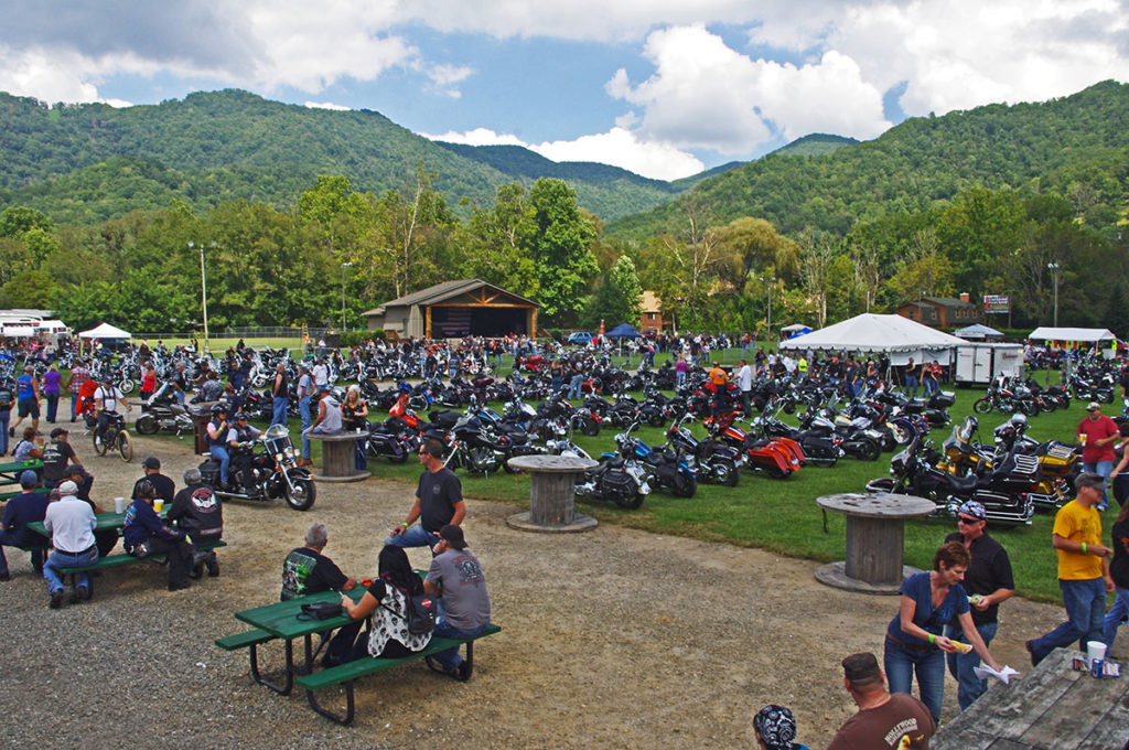
Maggie Valley – On the edge of the park, Maggie Valley has the most places to stay. Like Waynesville, it sits at the epicenter of the best riding and makes an ideal base for a longer stay. Wheels Through Time motorcycle museum is a popular attraction. There are numerous motorcycle events throughout the season. Easy access to the Blue Ridge Parkway and many great rides are found nearby.

Cherokee – Located at the south end of the Blue Ridge Parkway and the entrance to Great Smoky Mountains National Park, Cherokee offers ample places to stay and lots of small restaurants. It’s the heart of Cherokee culture with museums and attractions. Harrah’s Cherokee Casino dominates the landscapes on the outskirts of town. There is riding in all directions though the town itself can be congested and busy and many commutes will be on major roads.

Bryson City – Somewhat isolated, Bryson City is a small town with several good places to eat and limited lodging. The Great Smoky Mountains Railroad is the big tourist draw as is camping at the edge of the park at Deep Creek. Riding is to the east, west, and south.

Stecoah – Barely a town, you’ll find campgrounds and cabins in this area. Few places to eat. It sits on NC 28 leading to Robbinsville and Deals Gap. The best riding is to the west. It’s good location for ADV riders looking to explore the unpaved roads.

Fontana Village – An isolated location, you find the Fontana Village Resort has all you need in one spot. It sits on NC 28 close to the Dragon and rides west. The Fontana Dam is nearby.

Maggie Valley, NC

Maggie Valley, NC

Which is best?

If your focus is being surrounded by the best roads so you can spend your visit riding, the south side of Great Smoky National Park is best. You’ll find the most options for lodging, eating, and other attractions on the southeast side, more remote and quiet places on the southwest side. No matter which area you stay in, you’ll find more great motorcycle rides in the Smoky Mountain area than anywhere else, enjoy!


Wayne BuschAmerica Rides Maps

Wayne Busch searches out the most entertaining roads in the Blue Ridge Mountains then records them on a series of maps which span the Blue Ridge Mountains.

There are more great motorcycle roads in the Blue Ridge and Smoky Mountains than anywhere else. I highlight the best roads then show you the best ways to connect them together into rides. More than a decade of searching has discovered more than 1000 good roads to enjoy. We continue to search so you may enjoy.

Review the maps, order online hereAmericaRidesMaps.com

100 Rides In the Smokies – Full Sized Map
http://miles-by-motorcycle.com/51999/photos/52000/untitled/52073/100-rides-in-the-smokies—full-sized-map)

Source: America Rides Maps Blog @ Miles-by-Motorcycle.com
https://miles-by-motorcycle.com/51999/blog/53524/5-best-motorcycle-rides-in-the-smoky-mountains

Smoky Mountain Waterfalls Motorcycle Ride

Tour more than 1 dozen roadside waterfalls on this long and scenic day ride.

Smoky Mountains Waterfalls Motorcycle Ride

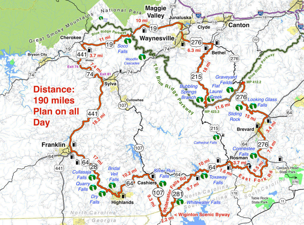
Smoky Mountains Waterfalls Motorcycle Ride – click for large view

Overview: 

Start in Maggie Valley. Follow US 19 west to 441 at Cherokee. Soco Falls on route. Follow US 441 south to Franklin, then US 64 / NC 28 to Highlands. 4 falls along road. Highlands to Cashiers on US 64, then loop south on 107 / 281 to see 2 more. Continue east on US 64, detour south of Brevard then onto US 276 to the Blue Ridge Parkway (3 more) Ride the Parkway to NC 215 then follow it back to US 276 and into Maggie Valley.

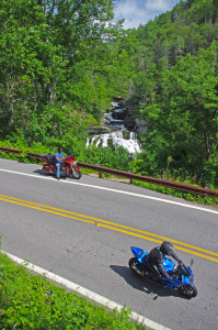
Roadside waterfalls abound for the motorcycle rider

Discover the hidden secrets on your motorcycle travels in the Blue Ridge and Smoky Mountains

Detailed Route:

Distance: 190 miles.

Time: All day ride.

Easy to moderate difficulty

Before you go:

  • Exercise caution! – These are roadside waterfalls, some which are on busy roads with blind curves and limited pull-outs. Pull out with confidence and vigor.
  • Look but don’t touch – Dangerous conditions lurk around waterfalls. Visitors are killed every year. Very slippery rocks. Powerful currents. Deadly drops.
  • Plan on more time – Several waterfalls require short walks to get the views. Allow time for multiple stops and photos.

Route:

Photo-Bubbling-Springs-Branch-on-NC 215

Easy to find Bubbling Springs Branch is on a sharp curve where it flows under NC 215.

Start in Maggie Valley. Follow US 19 west.

4.1 mi Pass under Blue Ridge Parkway

5.7 miSoco Falls. Gravel pull off on left with small signs. Downhill section of road on a curve. Can’t be seen from road. Path and boardwalk lead to 2 converging waterfalls.

15.2 mi Turn left @ traffic light at casino for shortcut to US 441 south. Junction US 19 and Casino Road.

16 mi Turn left @ traffic light onto US 441 south. Junction Casino Road and US 441.

20.1 mi Follow highway 23/74 east. Junction US 441 and highway 23/74 exit 74.

27.3 mi Follow US 441 south. Junction US 441 and highway 23/74 exit 81..

45.3 mi Exit US 441, follow US 64 / NC 28 east. Junction US 441 and US 64 / NC 28 at Franklin.

54.4 mi – Cullasaja Falls. Visible from road on right. Limited and hazardous parking near guardrail on sharp curve.

57.3 mi Quarry Falls – Visible from road on right. Long paved pulloff on right side of road.

58.2 mi – Dry Falls – Not visible from road. Paved parking on right with signs. Short trail to waterfall. Path continues behind waterfall.

60.8 mi – Bridal Veil Falls – Visible from road on left. Paved pull off. Drive behind the waterfall for a photo.

Motorcycles at Cullasaja Falls in North Carolina's "Land of the Waterfalls"

With permission granted, I stand ready to help you have the ride of your life! Just say YES!

63.5 mi Turn left @ traffic light to continue on US 64. Junction US 64 and NC 28 downtown Highlands.

73.7 mi Turn right @ traffic light onto NC 107 south. Junction US 64 and NC 107 in Cashiers.

77.1 miSilver Run Falls – Not visible from road. Poorly marked gravel pull off on left. Trail leads into woods. 1/4 mile walk.

83 mi Turn left onto Wiginton Scenic Byway. Junction Wiginton Scenic Byway and NC 107.

85.2 mi Turn left @ stop sign to head north on NC 281 (Whitewater Falls Road). Junction Wiginton Scenic Byway and NC 281.

87.6 miWhitewater Falls State Park. Not visible from road. $2 fee. 1/4 mile paved walk. Highest waterfall in the east.

94.9 mi Turn right @ stop sign to continue east on US 64. Junction NC 281 and US 64.

97.1Toxaway Falls – Not visible from road. Road crosses dam with waterfall below. Difficult to get a good view. Park at Toxaway Village or along road on dam.

105 mi Turn right @ junction US 64 and US 178 at Rosman.

106 mi Turn right @ traffic light in Rosman, exit town.

107 mi Turn left onto East Fork Road. Junction US 178 (Pickins Highway) and East Fork Road.

110 mi Turn right @ stop sign  to keep on East Fork Road. Junction East Fork Road and Walnut Hollow Road.

119 mi Turn left @ stop sign to go north on US 276 (Greenville Highway). Junction East Fork Road and US 276.

120 miConnestee Falls – Not visible from road. Large sign, trailhead at end of parking lot. Short walk to overlook where 2 waterfalls converge.

126 mi Turn right @ traffic light in Brevard onto US 64. Junction US 276 and US 64.

129 mi Turn left @ traffic light onto US 276 north. Junction US 64 / US 276 / NC 280.

135 miLooking Glass Falls – Visible from road. Large paved parking along road on right. Boardwalk to base of falls.

Photo-whitewater-falls-nc

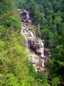
Whitewater Falls, one of the highest in the east.

137 mi – Sliding Rock – Not visible from road. Fee area $2. Paved parking lot. Bathers slide down waterfall.

144 mi Turn right onto parkway ramp. Turn left at the stop sign to head south (towards Cherokee) on the Blue Ridge Parkway. Junction US 276 and Blue Ridge Parkway.

148.5 mi – Graveyard Fields – Not visible from road. 1/3 mile paved walk to top of Second Falls. Trails continue to 2 others.

156 mi Exit Parkway. Turn left (towards Canton) on NC 215. Junction Blue Ridge Parkway and NC 215.

158 mi –  Flat Laurel Creek – Visible from road. Hard to find. Look for 3rd gravel pull out on right on the only straight section of road.

160 miBubbling Springs Branch – Visible from road on left. River plunges beneath the roadway on a hairpin curve. Small unpaved parking are just beyond.

174 mi Turn left @ stop sign to follow US 276 into Waynesville.. Junction NC 215 / US 276.

180 mi Turn right @ traffic light in Waynesvile.. Pass through town.

Junction US 276 and Main Street.

181mi Turn left @ traffic light. Junction Main Street and US 276 (Russ Avenue).

183 mi Turn left @ traffic light to return to Maggie Valley. Junction US 276 and US 19.

————————————————————————————

wayne busch - Smoky Mountain Motorcycle Rider.com

Wayne Busch

– Wayne Busch lives in Waynesville, NC, where he produces the most detailed, comprehensive, up-to-date motorcycle pocket maps of the Blue Ridge and Smoky Mountains to help you get the most of your vacation experience. See them here – AmericaRidesMaps.com

Tail of the Dragon Closed? More Motorcycle Rides Nearby – Asheville

Asheville, sometimes locally referred to as “AsheVegas” has long been a destination for those seeking refuge from the lowlands in a beautiful mountain setting. Great scenery, a thriving cosmopolitan culture, historic buildings, a wonderfully diverse menu of great eateries, the plethora of microbreweries that have earned it the “Beer City” award, and an artsy / musical / film undercurrent have endeared this “Portland of the South” to visitors for generations. Small enough too be easy to get around yet large enough to still be truly called a city, it has something to offer most every visitor, but none so much as the motorcycle traveller.

Photo - Dining at the Grove Park Inn

Fine dining at the Grove Park Inn in Asheville, one of many great places to visit and eat.

Pivotal in the historic creation of the Blue Ridge Parkway which wraps the border of town, it sits in the French Broad River Valley cradled by mountains on every horizon. The tallest mountain in the east, Mt. Mitchell, is close enough that bicycle races are held to it from town and you can find enjoyably steep and serpentine roads climbing from the very heart of the city.

While the city itself is an attraction, it’s the grand mountains which surround it that make it a worthy destination for those seeking great motorcycle rides. Too many are satiated with a relaxing cruise along the Blue Ridge Parkway and miss out on the fabulous and challenging rides found on every point of the compass. I’ve already hinted at those to the northwest near Hot Springs and the “Land of the Waterfalls” to the southwest in earlier posts.

Photo - Lake Lure

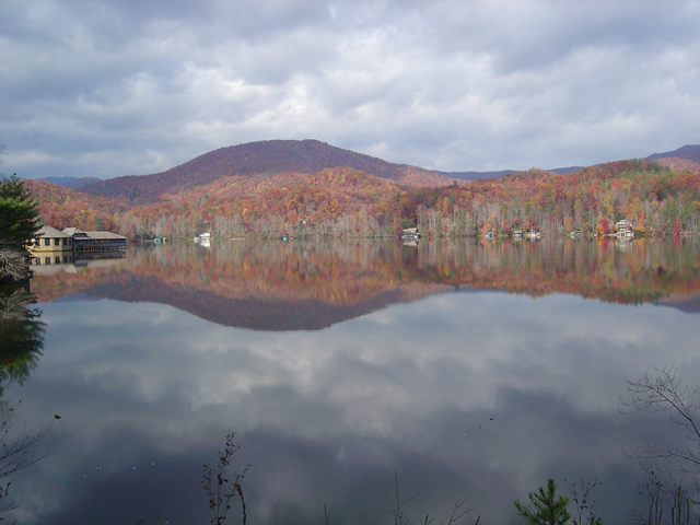
Scenic Lake Lure, south of Asheville, in the Hickory Nut Gorge

One of the most popular areas to visit is south of the city, the Hickory Nut Gorge area. Home to Bat Cave, Lake Lure, and Chimney Rock, it’s a Mecca for tourists and sightseers with it’s stunning scenery and attractions. Don’t be lulled into complacency as you make the approach on the long flowing valley roads – once you hit the mountains the curves, climbs, and descents begin as does the fun. While the main roads may be choked with traffic at times, those who venture off them onto the back roads will discover some amazing rides and the company of local motorcycle riders who flock to enjoy them.

Photo - View from NC 80

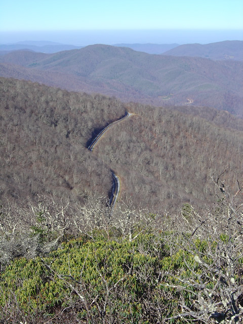
Early winter view from NC 80, one of the most challenging rides east of Asheville

Looking west, still more great rides present, many of which are worth the time and travel to enjoy them. Recently dubbed ‘The Diamondback” (you’ll be hearing more about these rides soon), a combination of loops using NC 80, US 226, US 226A, NC 180, the Blue Ridge Parkway, and other roads will give the motorcycle tourer everything he’s come for whether you’re cruising along enjoying the sights or looking to to get a knee down and drag some pegs.

Photo - Winter View from atop Roan Mountain looking into Tennessee

Winter View from atop Roan Mountain looking into Tennessee, north of Asheville

My personal favorite area though lies north of the city. It’s a vast region, crossing the border into Tennessee and will give you some of the longest and most enjoyable rides through the highest peaks and deepest valleys in the east. Sparsely populated, dotted with small towns, the twisting two lane back roads which lace through this area are mostly devoid of traffic and waiting for you to enjoy in solitude. Because most choose to take the Interstates which bypass this rugged region, it’s a hidden gem which gets bypassed and lies mostly undiscovered.

From the city, the Blue Ridge Parkway courses northwest towards Virginia. The roads which intersect it lead out into the surroundings and make it an avenue for including on great long loop rides all along it’s course.

Photo - Bike riding north of Asheville

Long winding rides through lush mountain scenery devoid of traffic lie north of Asheville

Long rides, short rides, nice cruises or challenging curves, stunning sights, great scenery, and a motorcycle friendly city at the hub, the mountains surrounding Asheville should be on your motorcycle radar. Home to the Asheville Bikefest May 13 – 16, it’s one more place to add to your list of great motorcycle destinations.