An Iconic Wayah Road Motorcycle Stop Reopens –

  • 9/28/2019

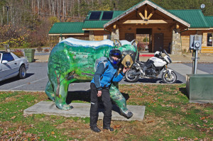
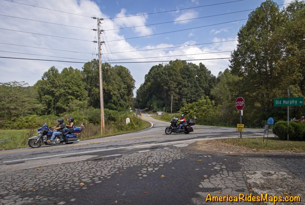
Located at the corner of Wayah Road and Old Murphy Road just west of Franklin, Loafer’s Glory is back.

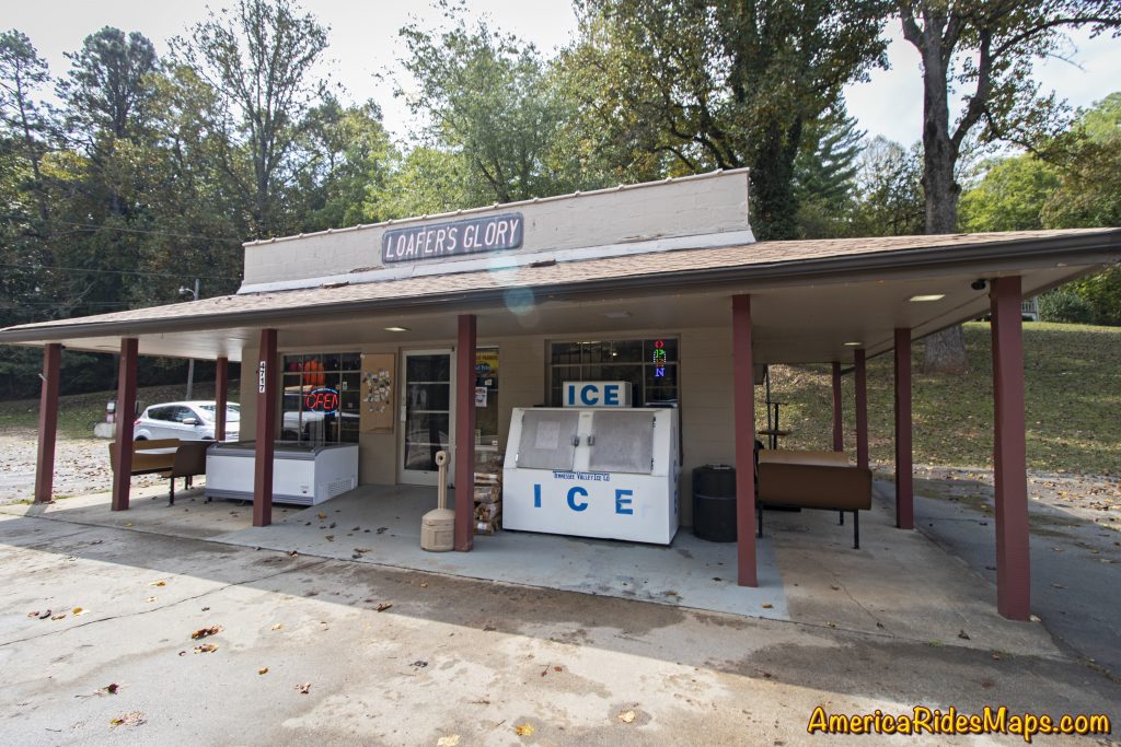
Loafer's Glory

Loafer’s Glory

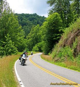
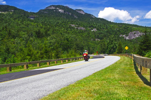
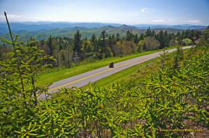
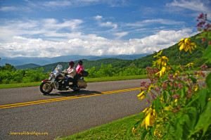
In an area with such notable motorcycle rides as the The Dragon and the Cherohala Skyway, Wayah Road ranks highly as another curvy cruise. It climbs from the upstream end of scenic Nantahala Gorge along the whitewater river to reach alpine Nantahala Lake which feeds the flow. The ride then crosses Wayah Bald for several miles before it plunges down the east side of the mountain through a series of winding switchbacks. When the 30 mile ride ends, Loafer’s Glory sits on the corner, a convenient spot for a break.

Junction Wayah Rd and Old Murphy Rd

Junction Wayah Rd and Old Murphy Rd

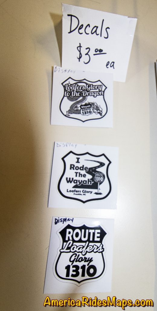
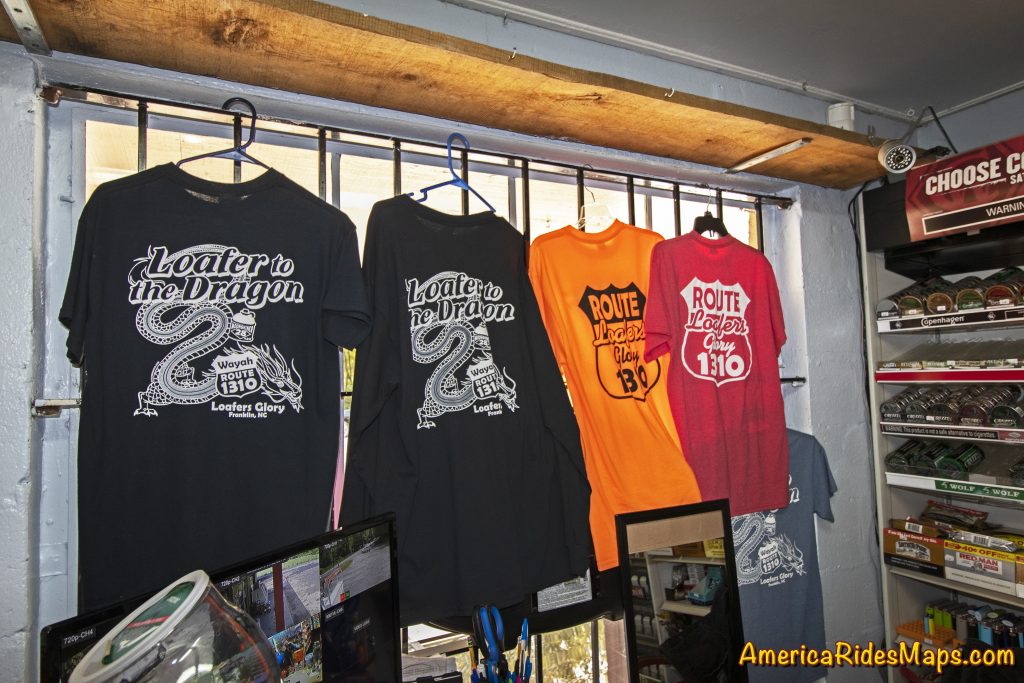
Loafer’s Glory was once a popular stop for the kayakers, rafters, hikers, and of course the riders that enjoy this beautiful area of the Nantahala National Forest. It closed for a while, then reopened only to close again. Now, it gets another start. The gas pumps remain idle but the store provides cold drinks, ice cream, and snacks. Riders can get a T-shirt or a sticker as a souvenir of their Wayah ride.

Loafer's Glory

Loafer’s Glory

While there’s not much to it, Loafer’s Glory makes a good rest stop, a place to savor the ride and make strategy for the next. Glad to see it back.

Loafer's Glory decals

Loafer’s Glory

See Interactive Map

Wayne Busch - AMERICA RIDES MAPS

Wayne Busch – AMERICA RIDES MAPS

Article by Wayne Busch, America Rides Maps

We produce detailed maps of the best roads to enjoy on your motorcycle travels in the Blue Ridge and Allegheny Mountains. Get the maps at America Rides Maps.com
Source: America Rides Maps Blog

Two Waterfalls off the Cherohala Skyway

Motorcycle Riders can visit two nice waterfalls near the Tennessee end of the Cherohala Skyway

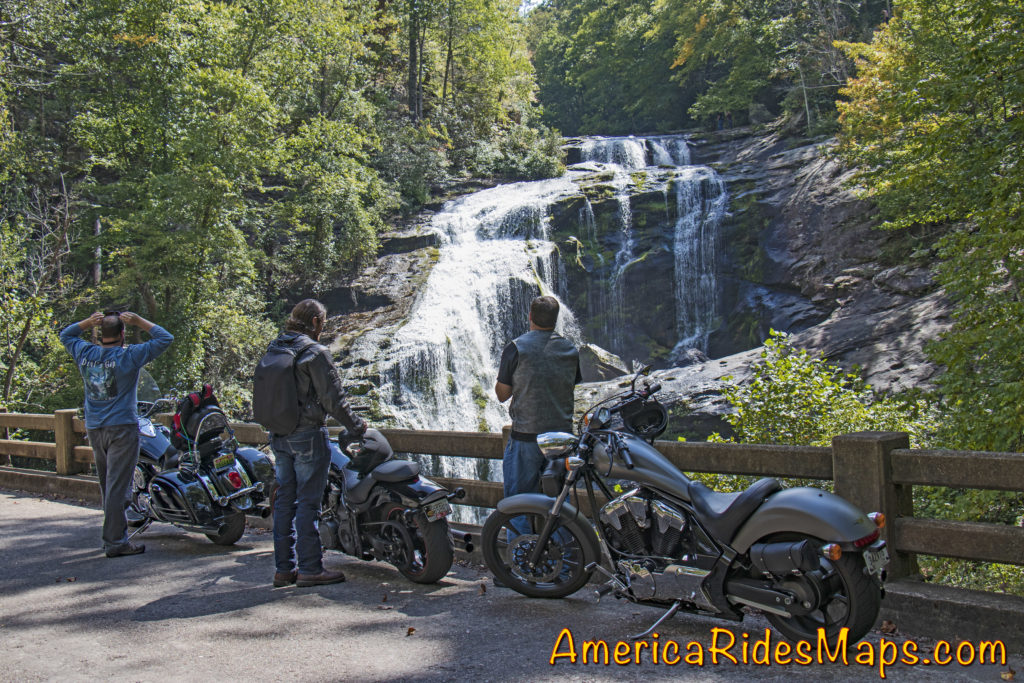
The Cherohala Skyway is one of the best motorcycle rides in the Smoky Mountain area. Bald River Falls is near the Tennessee end of the Skyway. A Forest Service road sign marks the start of River Road which winds upstream to the base of the large waterfall.
Motorcycles at Bald River Falls Most riders find their way to Bald River Falls and get the nice photo from the bridge.  Few know there is another waterfall just a short ride up the road – Baby Falls.

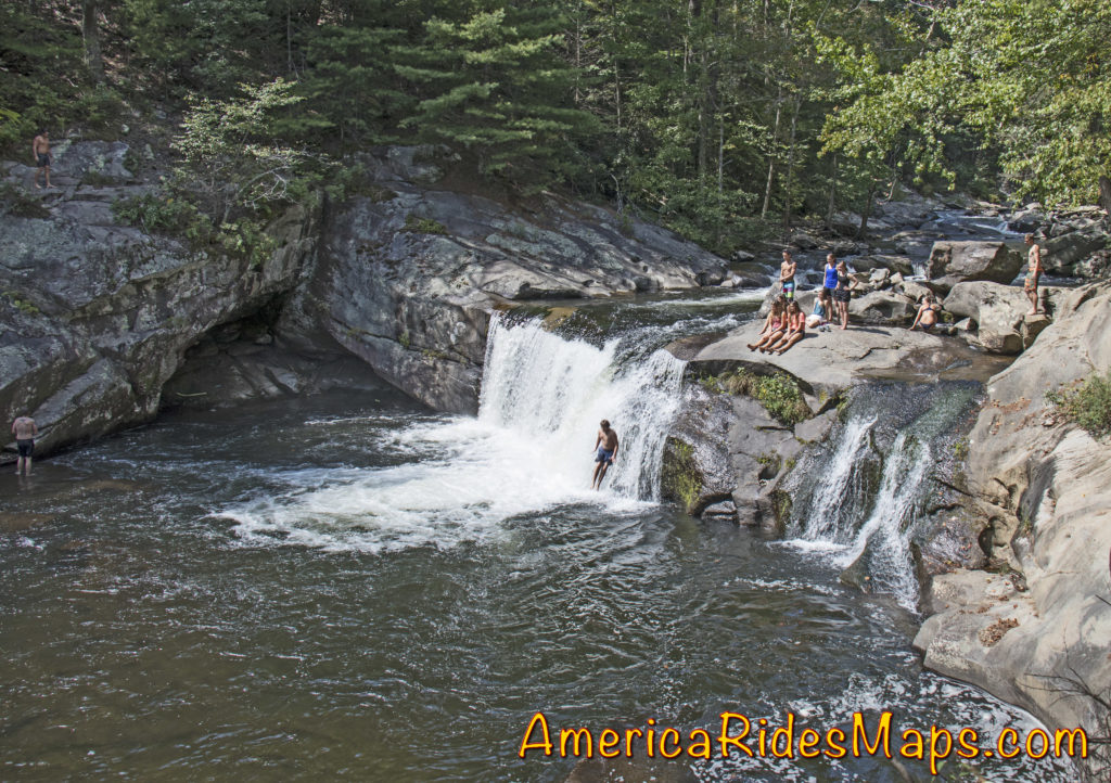
Baby Falls

Baby Falls are smaller but still impressive. You’ll find more parking, picnic tables, bathrooms, and easy access to the falls. It’s a nice spot for a break, better than the roadside parking at the bigger waterfall.

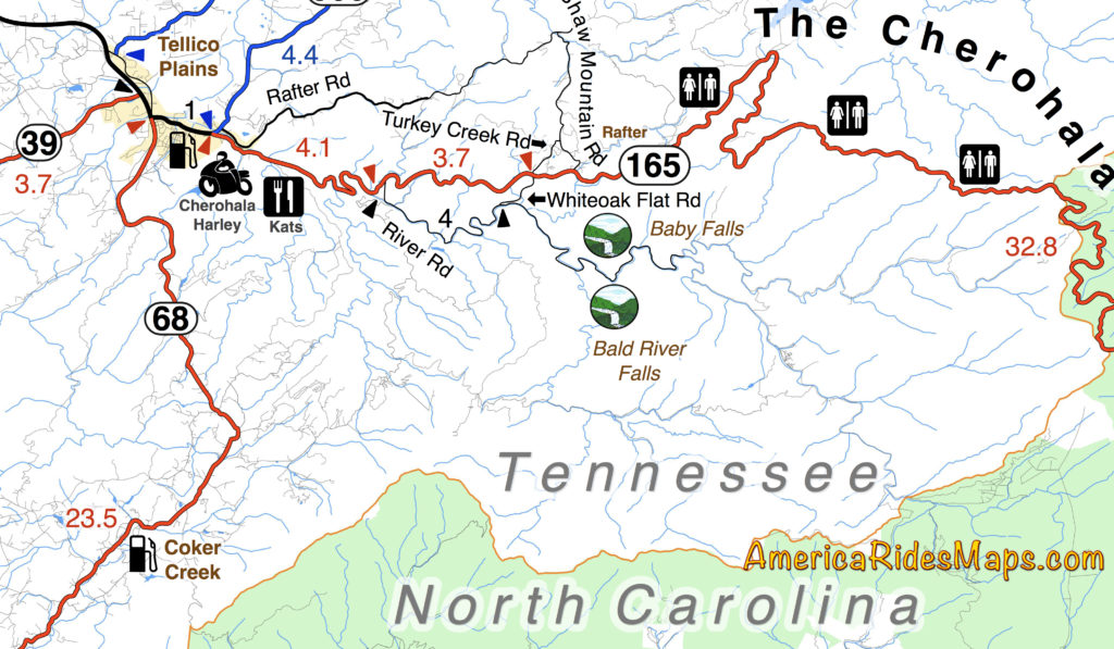
Motorcycle Ride Map Shows Baby Falls

Don’t miss Baby Falls, it’s the better place for riders to take a few minutes break. You’ll find it this area covered on several America Rides Maps.


Wayne BuschAmerica Rides Maps

Wayne Busch searches out the most entertaining roads in the Blue Ridge Mountains then records them on a series of maps which span the Blue Ridge Mountains.

There are more great motorcycle roads in the Blue Ridge and Smoky Mountains than anywhere else. I highlight the best roads then show you the best ways to connect them together into rides. More than a decade of searching has discovered more than 1000 good roads to enjoy. We continue to search so you may enjoy.

Review the maps, order online hereAmericaRidesMaps.com

100 Great Motorcycle Rides in the Smoky Mountains

100 Rides in the Southern Blue Ridge

The Best Motorcycle Rides South of GSMNP

The Best Motorcycle Rides North of GSMNP


Smoky Mountain Waterfalls Motorcycle Ride

Tour more than 1 dozen roadside waterfalls on this long and scenic day ride.

Smoky Mountains Waterfalls Motorcycle Ride

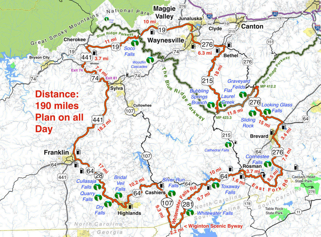
Smoky Mountains Waterfalls Motorcycle Ride – click for large view

Overview: 

Start in Maggie Valley. Follow US 19 west to 441 at Cherokee. Soco Falls on route. Follow US 441 south to Franklin, then US 64 / NC 28 to Highlands. 4 falls along road. Highlands to Cashiers on US 64, then loop south on 107 / 281 to see 2 more. Continue east on US 64, detour south of Brevard then onto US 276 to the Blue Ridge Parkway (3 more) Ride the Parkway to NC 215 then follow it back to US 276 and into Maggie Valley.

Roadside waterfalls abound for the motorcycle rider

Discover the hidden secrets on your motorcycle travels in the Blue Ridge and Smoky Mountains

Detailed Route:

Distance: 190 miles.

Time: All day ride.

Easy to moderate difficulty

Before you go:

  • Exercise caution! – These are roadside waterfalls, some which are on busy roads with blind curves and limited pull-outs. Pull out with confidence and vigor.
  • Look but don’t touch – Dangerous conditions lurk around waterfalls. Visitors are killed every year. Very slippery rocks. Powerful currents. Deadly drops.
  • Plan on more time – Several waterfalls require short walks to get the views. Allow time for multiple stops and photos.

Route:

Photo-Bubbling-Springs-Branch-on-NC 215

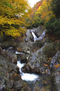
Easy to find Bubbling Springs Branch is on a sharp curve where it flows under NC 215.

Start in Maggie Valley. Follow US 19 west.

4.1 mi Pass under Blue Ridge Parkway

5.7 miSoco Falls. Gravel pull off on left with small signs. Downhill section of road on a curve. Can’t be seen from road. Path and boardwalk lead to 2 converging waterfalls.

15.2 mi Turn left @ traffic light at casino for shortcut to US 441 south. Junction US 19 and Casino Road.

16 mi Turn left @ traffic light onto US 441 south. Junction Casino Road and US 441.

20.1 mi Follow highway 23/74 east. Junction US 441 and highway 23/74 exit 74.

27.3 mi Follow US 441 south. Junction US 441 and highway 23/74 exit 81..

45.3 mi Exit US 441, follow US 64 / NC 28 east. Junction US 441 and US 64 / NC 28 at Franklin.

54.4 mi – Cullasaja Falls. Visible from road on right. Limited and hazardous parking near guardrail on sharp curve.

57.3 mi Quarry Falls – Visible from road on right. Long paved pulloff on right side of road.

58.2 mi – Dry Falls – Not visible from road. Paved parking on right with signs. Short trail to waterfall. Path continues behind waterfall.

60.8 mi – Bridal Veil Falls – Visible from road on left. Paved pull off. Drive behind the waterfall for a photo.

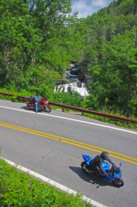
Motorcycles at Cullasaja Falls in North Carolina's "Land of the Waterfalls"

With permission granted, I stand ready to help you have the ride of your life! Just say YES!

63.5 mi Turn left @ traffic light to continue on US 64. Junction US 64 and NC 28 downtown Highlands.

73.7 mi Turn right @ traffic light onto NC 107 south. Junction US 64 and NC 107 in Cashiers.

77.1 miSilver Run Falls – Not visible from road. Poorly marked gravel pull off on left. Trail leads into woods. 1/4 mile walk.

83 mi Turn left onto Wiginton Scenic Byway. Junction Wiginton Scenic Byway and NC 107.

85.2 mi Turn left @ stop sign to head north on NC 281 (Whitewater Falls Road). Junction Wiginton Scenic Byway and NC 281.

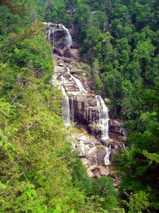
87.6 miWhitewater Falls State Park. Not visible from road. $2 fee. 1/4 mile paved walk. Highest waterfall in the east.

94.9 mi Turn right @ stop sign to continue east on US 64. Junction NC 281 and US 64.

97.1Toxaway Falls – Not visible from road. Road crosses dam with waterfall below. Difficult to get a good view. Park at Toxaway Village or along road on dam.

105 mi Turn right @ junction US 64 and US 178 at Rosman.

106 mi Turn right @ traffic light in Rosman, exit town.

107 mi Turn left onto East Fork Road. Junction US 178 (Pickins Highway) and East Fork Road.

110 mi Turn right @ stop sign  to keep on East Fork Road. Junction East Fork Road and Walnut Hollow Road.

119 mi Turn left @ stop sign to go north on US 276 (Greenville Highway). Junction East Fork Road and US 276.

120 miConnestee Falls – Not visible from road. Large sign, trailhead at end of parking lot. Short walk to overlook where 2 waterfalls converge.

126 mi Turn right @ traffic light in Brevard onto US 64. Junction US 276 and US 64.

129 mi Turn left @ traffic light onto US 276 north. Junction US 64 / US 276 / NC 280.

135 miLooking Glass Falls – Visible from road. Large paved parking along road on right. Boardwalk to base of falls.

Photo-whitewater-falls-nc

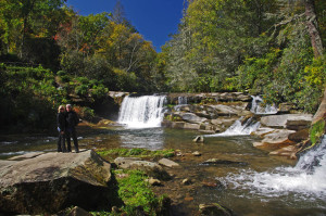
Whitewater Falls, one of the highest in the east.

137 mi – Sliding Rock – Not visible from road. Fee area $2. Paved parking lot. Bathers slide down waterfall.

144 mi Turn right onto parkway ramp. Turn left at the stop sign to head south (towards Cherokee) on the Blue Ridge Parkway. Junction US 276 and Blue Ridge Parkway.

148.5 mi – Graveyard Fields – Not visible from road. 1/3 mile paved walk to top of Second Falls. Trails continue to 2 others.

156 mi Exit Parkway. Turn left (towards Canton) on NC 215. Junction Blue Ridge Parkway and NC 215.

158 mi –  Flat Laurel Creek – Visible from road. Hard to find. Look for 3rd gravel pull out on right on the only straight section of road.

160 miBubbling Springs Branch – Visible from road on left. River plunges beneath the roadway on a hairpin curve. Small unpaved parking are just beyond.

174 mi Turn left @ stop sign to follow US 276 into Waynesville.. Junction NC 215 / US 276.

180 mi Turn right @ traffic light in Waynesvile.. Pass through town.

Junction US 276 and Main Street.

181mi Turn left @ traffic light. Junction Main Street and US 276 (Russ Avenue).

183 mi Turn left @ traffic light to return to Maggie Valley. Junction US 276 and US 19.

————————————————————————————

wayne busch - Smoky Mountain Motorcycle Rider.com

Wayne Busch

– Wayne Busch lives in Waynesville, NC, where he produces the most detailed, comprehensive, up-to-date motorcycle pocket maps of the Blue Ridge and Smoky Mountains to help you get the most of your vacation experience. See them here – AmericaRidesMaps.com

Motorcycle Loop Ride near Hot Springs, NC

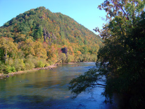
French Broad River in Hot Springs, NC

French Broad River

The small historic town of Hot Springs, NC, has long been a familiar pit stop for mountain area motorcycle riders. It is situated north and west of Asheville near the border with Tennessee on the banks of the French Broad River. The town is popular with rafters and hikers, has couple biker friendly places to eat, and there are natural hot springs to soak in at the spa.

Hot Springs, NC

Hot Springs, NC

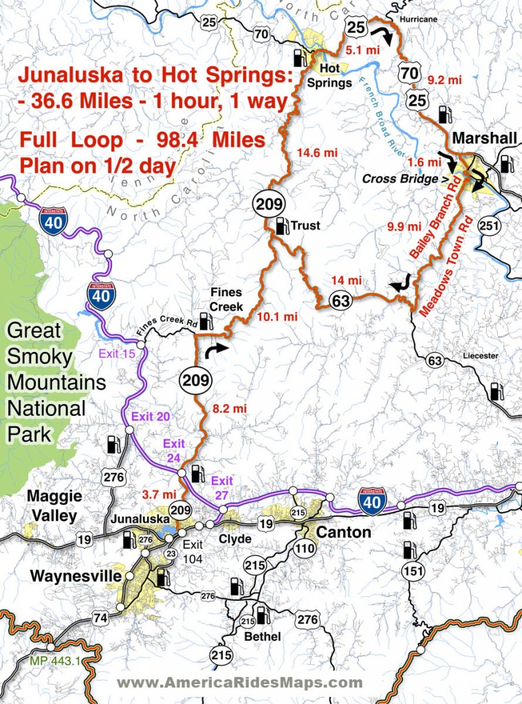
Motorcycle riders are attracted to this area for the wonderful and tricky two lane back roads which thread through the surrounding mountains. The newfound popularity of NC 209 a.k.a. “The Rattler” as one of the top 10 motorcycle rides in the Blue Ridge Mountains is bringing more motorcycle touring enthusiasts to discover this playground of nice biker roads.

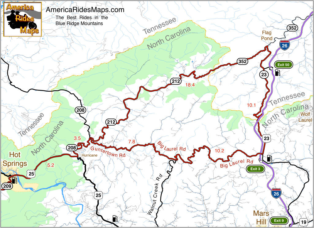
Hot Springs to Flag Pond Motorcycle Ride Map

The map shows a motorcycle loop ride that takes you across the border to Flag Pond, TN., then loops you back to Hot Springs.

  • Leaving Hot Springs, go east on US 25 / 70 making the gentle climb then descent to the junction with NC 208 at Hurricane.
  • Turn north (left) and follow NC 208 along the winding river. As you come to the junction of NC 208 and NC 212 note the small bridge over the creek. Guntertown Road is on the right just before the bridge, NC 212 is at the stop sign once you cross the bridge.
  • The north leg ( NC 212 / TN 352 ) of the triangle shaped motorcycle ride is a pretty nice cruise following along creeks and streams for the most part with a few tricky curves thrown in to keep you on your toes.
  • The east leg ( TN 23 / US 23 ) is pretty relaxed riding, there are a couple passing zones on the long inclines. You’ll want to keep an eye out for the turn onto Big Laurel Road, then hold on for the wild ride back.
  • Big Laurel Road is the south leg of the loop and full of tricky curves. Be alert for scattered debris in a couple of the hairpins around bluff faces. Walnut Creek Road spurs off to the south, be sure you veer in the correct direction when you reach this junction to remain on Big Laurel Road.
  • Guntertown Road leads you east to the small bridge on NC 208. Retrace your path to return to Hot Springs.
Motorcycles on Big Laurel Road

Big Laurel Road

The roads in this area can be extremely challenging and tight. If you prefer an easier course, the ride to Flag Pond on NC 212 / TN 352 can be done out-and-back. There is a large pull off riders use for a break at the junction of TN 352 & TN 23.

————————————————————————————

wayne busch - Smoky Mountain Motorcycle Rider.com

Wayne Busch

– Wayne Busch lives in Waynesville, NC, where he produces the most detailed, comprehensive, up-to-date motorcycle pocket maps of the Blue Ridge and Smoky Mountains to help you get the most of your vacation experience. See them here – AmericaRidesMaps.com

Motorcycle Friendly – Still Mountain Restaurant, Hot Springs, NC

Motorcycle Friendly – Still Mountain Restaurant, Hot Springs, NC

UPDATE – This Restaurant has closed.

On a classic “lunch run” ride here’s one option for the lunch stop.

Still Mountain Restaurant, Hot Springs

Motorcycle friendly Still Mountain Restaurant, Hot Springs, NC.

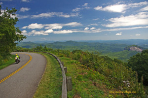
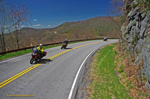
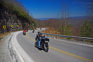
One of the nicest motorcycle rides you’ll do in the Smoky Mountain area of North Carolina and Tennessee is NC 209, a.k.a “The Rattler”. This 30+ mile ride through the mountains and valleys of North Carolina runs from Junaluska (Maggie Valley, Waynesville) to Hot Springs. Scenic, challenging, historic, it makes for a nice “lunch run” as an out-and-back ride or the first leg of numerous loop rides you can build with other great connecting roads.

Motorcycle Friendly Still Mountain Restaurant

Motorcycle Friendly Still Mountain Restaurant – you can’t miss it in tiny Hot Springs.

Hot Springs is one of the many historic little mountain towns that dot the landscape. Once  an important stop on the Knoxville, TN to Asheville, NC corridor, it is mostly forgotten now that the Interstate bypasses it to the west. It’s a pass-through town on the Appalachian Trail, a popular place for whitewater rafting, and there are natural hot springs where you can go soak your keister for a few bucks. On weekends, it’s a gathering spot for the bikers who flock to ride the outstanding motorcycle roads in the surrounding region.

Motorcycle Friendly Still Mountain Restaurant

Motorcycle Friendly Still Mountain Restaurant – a big comfortable porch, tasty food, and live music on this day.

Comfortable, easy to find, and with tasty food, the Still Mountain Restaurant is usually full of bikers though the occasional Appalachian Trail hiker drops in for some civilized fare on their 1500 mile walk in the wilds. You’ll feel right at home here.

Biker Friendly Still Mountain Restaurant

Biker Friendly Still Mountain Restaurant – Thumbs up!

You’ll find NC 209 and another 50+ great rides in the area on America Rides Motorcycle Pocket maps #6 as well as the 100 Great Motorcycle Rides in the Smoky Mountains.

Great Motorcycle Rides in North Carolina - NC 209, a.k.a. "The Rattler".

Great Motorcycle Rides in North Carolina – NC 209, a.k.a. “The Rattler”. Do it as an out-and-back or make a nice loop ride – one of many ways to go on this great biker road

More Rattler info here

————————————————————————————

wayne busch - Smoky Mountain Motorcycle Rider.com

Wayne Busch

– Wayne Busch lives in Waynesville, NC, where he produces the most detailed and comprehensive and up-to-date motorcycle pocket maps of the Blue Ridge and Smoky Mountains to help you get the most of your vacation experience. See them here – AmericaRidesMaps.com

Best 1000 Mile Motorcycle Ride You’ll Ever Do

If you’re looking for that epic ride this is one of the best ever!

Motorcycles at overlook in Smoky Park

Enjoy an overlook in Great Smoky Mountains National Park

When you link these mountain roads together you’ll spend almost all your time on 2 lane roads, most of it National Parks or on scenic parkways, and you’ll experience some of the best motorcycle rides in the USA.

Skyline Drive – 105 Miles
The Skyline Drive runs the crest of Shenandoah National Park in Virginia. It starts at Front Royal and runs seamlessly into the Blue Ridge Parkway

Blue Ridge Parkway – 469 Miles

Blue Ridge Parkway View

Blue Ridge Parkway in NC

The Blue Ridge Parkway follows the highest ridge lines of the Blue Ridge Mountains through Virginia and North Carolina. It ends at Great Smoky Mountains National Park.

Great Smoky Mountains National Park – 47 Miles
The most visited National Park in the nation, ride across on US 441 passing from North Carolina into Tennessee at the crest, then turn west on Little River Road. Follow through to the Foothills Parkway.

Foothills Parkway – 17 Miles
Continue west on the scenic Foothills Parkway to reach US 129

The Dragon – 15 Miles

Springtime motorcycle ride on the Cherohala Skyway

The Cherohala Skyway in TN

Turn south on US 129 to enter the Dragon. Pass through and back into North Carolina. Continue south to Robbinsville, NC to head west again on the Cherohala Skyway.

The Cherohala Skyway – 52 Miles
Climb back up into the mountains and return to Tennessee near the mid-point of the ride. Turn south on 68 when you reach Tellico Palins, TN and follow this wonderful road into Georgia.

GA 60 – 23 Miles
Work your way east on GA 60 to Blue Ridge, GA, then continue on one of Georgia’s best motorcycle roads.

The Gauntlet – 133 Miles

Georgia

The Gauntlet ride in GA

Wrap it all up with a loop around the Gauntlet. You may continue on GA 60 or veer north on Skeenah Gap Road to start the loop.

Of course, this is just an overview. It’s a great introduction to riding in the Blue Ridge Mountains, still it only scratches the surface. It’s pretty straightforward to navigate, but you’ll want to do some planning. There are many variations and additions to make it even better.

9 map setYou’ll find this region covered in detail with America Rides Maps. In addition to these well known roads, almost 500 more are highlighted on a series of easy-to-read durable maps that will fit in your pocket with the info you depend on like out-of-the-way gas stations, mileage, and how to best link them all together.

The are more great motorcycle rides in the Blue Ridge Mountains than anywhere else. Any one of America Rides Motorcycle pocket ride maps is a vacation adventure in itself. With the full set you’ll have the freedom to point your wheels in any direction and know you’re on the best rides. Take a look here and see how easy it is – http://shop.americaridesmaps.com/Full-Southeast-Package-All-9-Maps-SE9.htm

————————————————————————————

wayne busch - Smoky Mountain Motorcycle Rider.com

Wayne Busch

– Wayne Busch lives in Waynesville, NC, where he produces the most detailed and comprehensive and up-to-date motorcycle pocket maps of the Blue Ridge and Smoky Mountains to help you get the most of your vacation experience. See them here – AmericaRidesMaps.com

Motorcycle Riding the Blue Ridge Parkway – Commuter Zones

Riding the Blue Ridge Parkway - commuter zones

You have no clue you’re passing through some sizable cities on a Blue Ridge Parkway ride  – 10 minutes ride from a parkway exit puts you in the heart of Asheville, NC, a fun place to visit!

On a 469 mile long Blue Ridge Parkway ride you will pass through two cities – Roanoke in Virginia, and Asheville in North Carolina. Each has its “commuter zone”.

In both cities, the parkway weaves along the east edge of town then curves around to the south, though barely a hint of the surrounding neighborhoods are visible. Riding along you never see a downtown area at all nor any indication you are near a sizable city. It’s part of the magical illusion of a Blue Ridge Parkway ride. The views have been well protected over the years.

What’s a Commuter Zone?

There will be a handful of exits relatively close together as you pass through one of the cities on the Blue Ridge Parkway. For locals, the Blue Ridge Parkway is just one more road to get through town, a shortcut. A lot of local traffic hops on it to save time and zip an exit or two to the road they want.

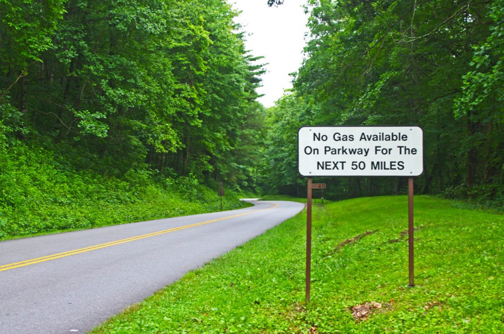
photo-no-gas-sign-on-blue-ridge-parkway

This sign is a legacy to when gas was available on the Blue Ridge Parkway. It should now read “No gas next 400 miles”. There is no gas on the Blue Ridge Parkway. Take advantage of close gas stations to the parkway in the commuter zones.

What you need to know about Parkway Commuter Zones –

Expect more traffic and more aggressive traffic in the commuter zones on the Blue Ridge Parkway. Locals are hopping on the parkway to save time and they may push the speed limit.

The speed limit drops in some areas and it’s more heavily enforced in the commuter zones. The Asheville commuter zone of the Blue Ridge Parkway went to 35 mph last year to try to slow down the local traffic. Watch for the signs.

Enforcement is heavier near cities, especially in commuter zones. More traffic means more resources assigned to deal with it. Watch your speed whenever you feel you are getting into a populated area. You can also expect more attention near popular areas along the Blue Ridge Parkway.

ranger on the parkway

Watch your speed and be alert in the commuter zones

Here are some places where I tell myself to roll back on the throttle when riding the Blue Ridge Parkway:

  • From the Start of the Parkway  in Virginia to Humpback Rocks
  • Peaks of Otter area in Virginia, near Buchanan
  • From 221 exit to 221 exit near Roanoke
  • Linn Cove Viaduct area near Blowing Rock
  • Moses Cone / Julian Prince Park near Boone
  • Altapass Hwy north of Spruce Pine / Little Switzerland
  • Crabtree Falls area
  • From Craggy Gardens through Asheville
  • The southern section of the parkway into Cherokee

Be aware of and alert for these commuter zones near the cities along the Blue Ridge Parkway. There are few signs on the road, but if you see any indication you are approaching a congested area be alert and ready to deal with increased traffic with a different agenda than you.

7 map Blue Ridge Parkway + The Dragon set

7 map Blue Ridge Parkway + The Dragon set

Get the maps!
http://shop.americaridesmaps.com/Blue-Ridge-Parkway-The-Dragon-Package-BRP12.htm

If you enjoy photos of motorcycle riding in the Blue Ridge and Smoky Mountains, like MY BLUE RIDGE MOTORCYCLING FACEBOOK PAGE.Facebook

____________________________________________________________________

wayne busch - Smoky Mountain Motorcycle Rider.com

Wayne Busch

– Wayne Busch lives in Waynesville, NC, where he produces the most detailed and comprehensive and up-to-date motorcycle pocket maps of the Blue Ridge and Smoky Mountains to help you get the most of your vacation experience. See them here – AmericaRidesMaps.com

____________________________________________________________________

Motorcycle Touring – Towns Near Great Smoky Mountains Park

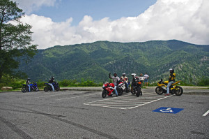
Motorcycles at overlook in Smoky Park

Enjoying  an overlook on Newfound Road in Great Smoky Mountains National Park

Choose the right place to stay on your Smoky Mountain motorcycle trip

Great Smoky Mountains National Park is the #1 visited park in the nation. Needless to say there are plenty of places to stay in the surrounding area when you come. Those who make the trek by motorcycle not only enjoy the wonders of the park, but are rewarded with some of the most challenging and scenic motorcycle rides in the country at it’s borders.
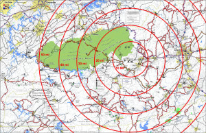
Bullseye on the test place to stay

Bullseye on the best place to stay

I previously looked for the epicenter of great motorcycle riding, the central point in the middle of all the best motorcycle rides in the Blue Ridge Mountains. The prime location was Maggie Valley, NC on the southeast edge of Great Smoky Mountains National Park, with Waynesville and Cherokee close runners up. I listed the pros and cons of using each as a base camp for your motorcycle trip. (read about it here)

Truth is, there are so many great motorcycle rides to choose from in this mountainous region you’ll never get to them all. While being at the strategic center of all the riding offers more riding choices and opportunities, it’s worth looking at some of these other places which lay on the borders of Great Smoky Mountains National Park.
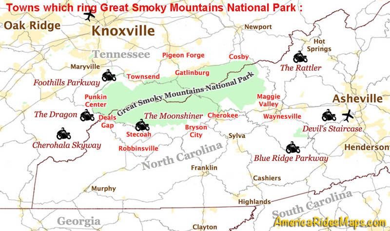
Map towns around smoky park

Towns which ring Great Smoky Mountains National Park and classic motorcycle rides nearby.

♦♦♦♦ Maggie Valley / Waynesville – located right in the heart of the best motorcycle rides. Waynesville has great food, but few rooms. Maggie Valley has lots of rooms, places to eat, and the Wheels Through Time Motorcycle Museum.  (previously covered, read about it here).

♦♦♦ Cherokee – It’s where the Blue Ridge Parkway meets great Smoky Mountains National Park. Culture, casino, and crowds.  (previously covered, read about it here)
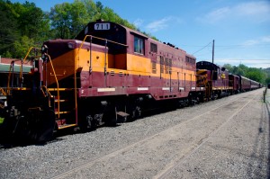
Photo - Great Smoky Mountains Railway Train

Great Smoky Mountains Railroad train in Bryson City

♦♦ Bryson City – Places to stay, camping, good food and drink, the railroad, at first glance Bryson City has a lot to offer. It’s downfall is it’s isolation. It’s located adjacent to 4 lane US 74. It has a nice little downtown where US 19 comes in from Cherokee. Your choices to quickly hop on a good ride without hitting the 4 lane are limited.

– If you’re looking for a nice quiet place to camp on a swimming creek and do a little riding, Bryson City will do you well.

♦♦ StecoahStecoah is a small spot located off NC 28 not far from Fontana Lake. There are cabins available here, though it’s a really popular spot for campers. There are a couple motorcycle campgrounds. NC 28  leads to The Dragon at Deals Gap or you can cut through to Robbinsville and the Cherohala Skyway. There’s a roadside diner. It’s a pretty remote spot so you’ll have to be self-sufficient, the campgrounds have some supplies. The nearest grocery is in Robbinsville, it’s dry county. The Nantahala Gorge is close, the good section of NC 28 starts just a few miles up the road.

– Stay in Stecoah if you’re looking for motorcycle campgrounds near the Dragon.  
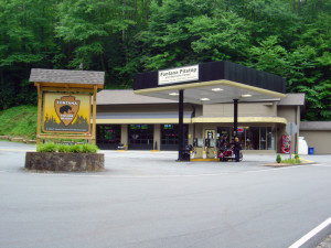
Fontana Village Pitstop

Cabins, rooms, camping, meals, Fontana is remote but has all you need.

♦♦♦ Fontana –  Fontana is a good option near The Dragon on NC 28. You ‘ll find camping, cabins, there’s are a decent number of rooms, good meals, a bar, all the comforts. The stretch of NC 28 that it sits on is one of my favorite rides curvy motorcycle rides. You’re only minutes from The Dragon.

– Fontana will serve you well if you want a remote location with all the amenities. Close to the Dragon.

♦♦♦ Robbinsville – There’s nothing but mountains and trees west of Robbinsville and well into Tennessee. The small town sits at the hub of several important roads. US 129 leads north to The Dragon, south to the Nanathala Gorge. The Cherohala Skyway meets it here just north of downtown, NC 143 takes you over the mountain to connect with NC 28. All the good biker roads lead here.

While the town of Robbinsville is small, it’s the biggest small town for miles. There’s a grocery store, a few restaurants, gas station / fast food, one big central chain motel, and lots of biker friendly options and businesses in the town. There are a couple good places to eat.  It’s not a convenient town for walking. There’s no booze here, it’s dry.  Motorcycle rentals in town.

– Robbinsville is the largest town in the area so it has the most to offer. It’s a good base when you want to travel light. Great rides in every direction.
deals-gap-resort-

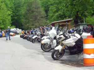
Deals Gap Motorcycle Resort

♦♦ Deals Gap – Resorts, lodges, cabins, campgrounds are all available but limited. If you want to be as close to The Dragon as possible you’ll be pretty isolated from civilization. This is where you want to stay if you’ve come to focus on riding The Dragon. Do a couple runs through in the morning then head down to the Cherohala Skyway or cruise the lake on NC 28. Get in another run or two through The Dragon in the evening.

– If you want to get the full Dragon experience, stay at Deals Gap. There may be entertainment, night races in the parking lot. 

♦ Punkin Center – Located at the Tennessee end of The Dragon where TN 72 intersects, it’s an ideal spot for riding The Dragon / Cherohala Skyway loop ride. There is a popular motorcycle campground here, a restaurant, and a repair shop.

– If you’re looking for a motorcycle campground on the north side of the park, this one puts you on some of the best roads.  

♦ Townsend – Townsend gets you away from the congestion of Pigeon Forge and Gatlinburg, but you’re still on a pretty major road. It get’s you close to Cades Cove in Great Smoky Mountains National Park. Townsend is a good choice if you want to ride The Dragon, The Cherohala Skyway, and poke around the park. It’s a popular base camp for dual-sport riders doing the unpaved roads in Great Smoky Mountains National Park. Motorcycle rentals available in town.

– Townsend is a good base camp for dual sport riding. 
Gatlinburg-motorcycles

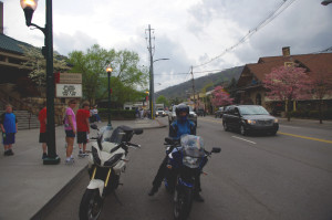
Tourist attractions in Gatlinburg.

♦♦ Gatlinburg / Pigeon Forge

The primary attraction of Gatlinburg and Pigeon Forge is they are so easy to get to. The primary downfall of Galtinburg / Pigeon Forge is everybody goes there.

There’s about 40 miles between the north entrance of Great Smoky Mountains National Park and the city of Knoxville, so this corridor has developed into a tourist vortex. Gatlinburg and Pigeon Forge host all kinds of attractions. There are lots of bargains on rooms and cabins. The downfall here is the tourist traffic and the scarcity of good motorcycle rides. The mountains quickly become valleys outside the park.

There may be some compelling reasons to stay in Gatlinburg and Pigeon Forge, but you’ll likely spend time riding around the park to get to some of the best rides.

– Stay in Gatlinburg if you’re looking for a deal or want a tourist expereince. Accept the traffic, enjoy the attractions, and learn the backroads that will get you through it all.

 Cosby – Cosby is at the “forgotten” eastern end of the park. You’ll find lots of campgrounds along the edge of the park, a couple motels near I-40, little else of note. This area is popular for the unpaved riding both in the park and out into the national forests.

Cosby is a good base camp for dual sport riding. 

————————————————————————————————
100 Great Motorcycle Rides mapin the Smoky MountainsYou can get a map of more than 100 Great Motorcycle Rides near the Smoky Mountains that will show you where the roads are hiding and how they link together into endless wonderful wanderings through the mountains.

Click Here Now
to see more about the map


If you enjoy photos of motorcycle riding in the Blue Ridge and Smoky Mountains, like MY BLUE RIDGE MOTORCYCLING FACEBOOK PAGE.Facebook

____________________________________________________________________

wayne busch - Smoky Mountain Motorcycle Rider.com

Wayne Busch

– Wayne Busch lives in Waynesville, NC, where he produces the most detailed and comprehensive and up-to-date motorcycle pocket maps of the Blue Ridge and Smoky Mountains to help you get the most of your vacation experience. See them here – AmericaRidesMaps.com

____________________________________________________________________
Stay Near the Best Mountain Motorcycle Rides

Stay Near the Best Mountain Motorcycle Rides – 

Great Motorcycle Rides in North Carolina - NC 209, a.k.a. "The Rattler" This is some of the best motorcycle riding you'll find in the world. These riders are looping back to NC 209 on NC 63.This is some of the best motorcycle riding you'll find in the world. These riders are looping back to NC 209 on NC 63.

Great Motorcycle Rides in North Carolina – NC 209, a.k.a. “The Rattler” – This is some of the best motorcycle riding you’ll find in the world. These riders are looping back to NC 209 on NC 63.

So you’ve heard about the amazing motorcycle riding in the Blue Ridge Mountains and you want to come see the best of it it.

Where should you stay to have the best opportunity to ride the greatest number of classic motorcycle rides?

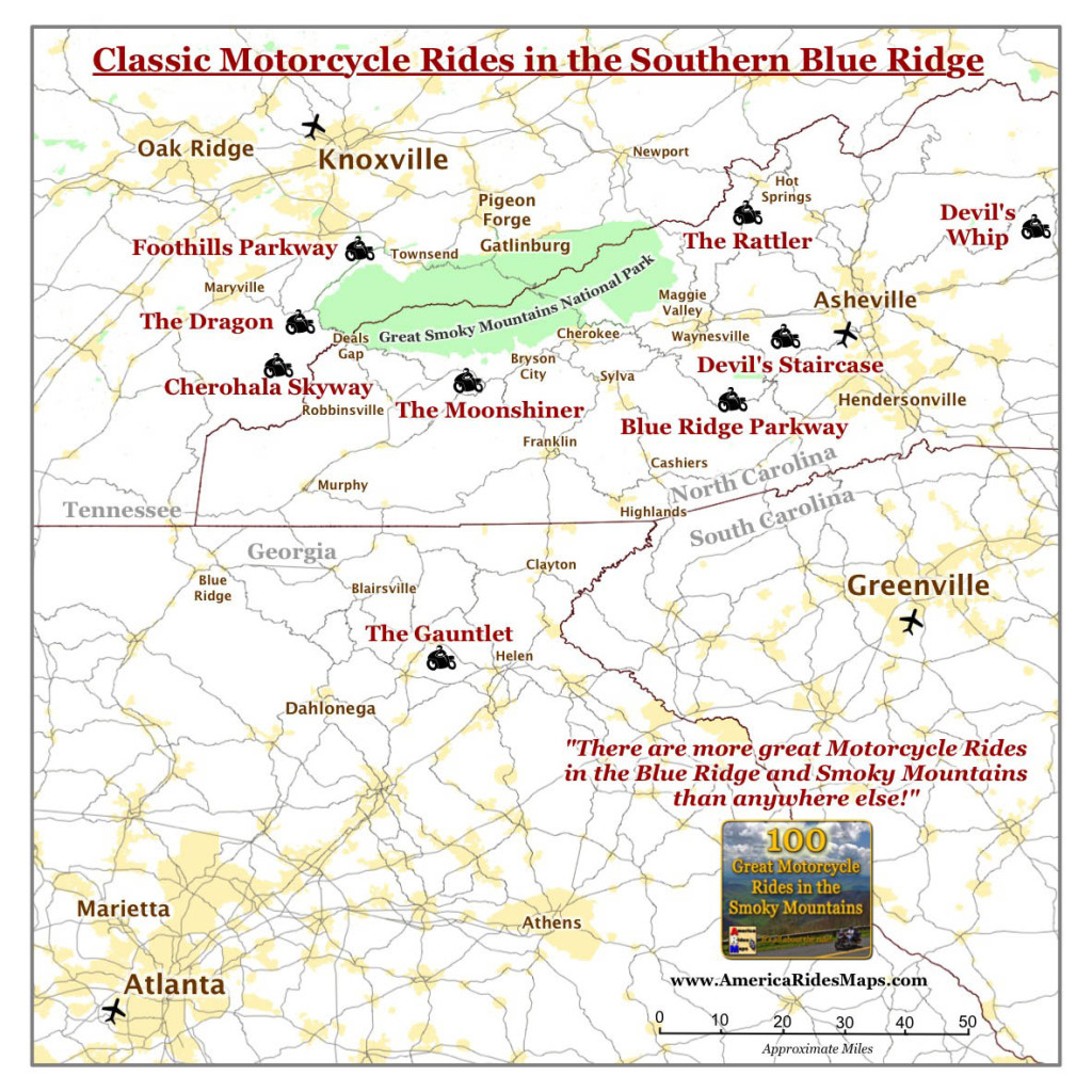
To figure out where the geographic center of the best motorcycle riding was,  I first looked at where all the classic roads were, roads that have been around long enough to have names like “The Dragon”, the “Moonshiner” and “The Gauntlet”. Some of these might be on your bucket list so it’s nice to have them close. I determined the center point between them.

Map of Classic Motorcycle Rides in the Smoky Mountains

Surround yourself with classic rides.

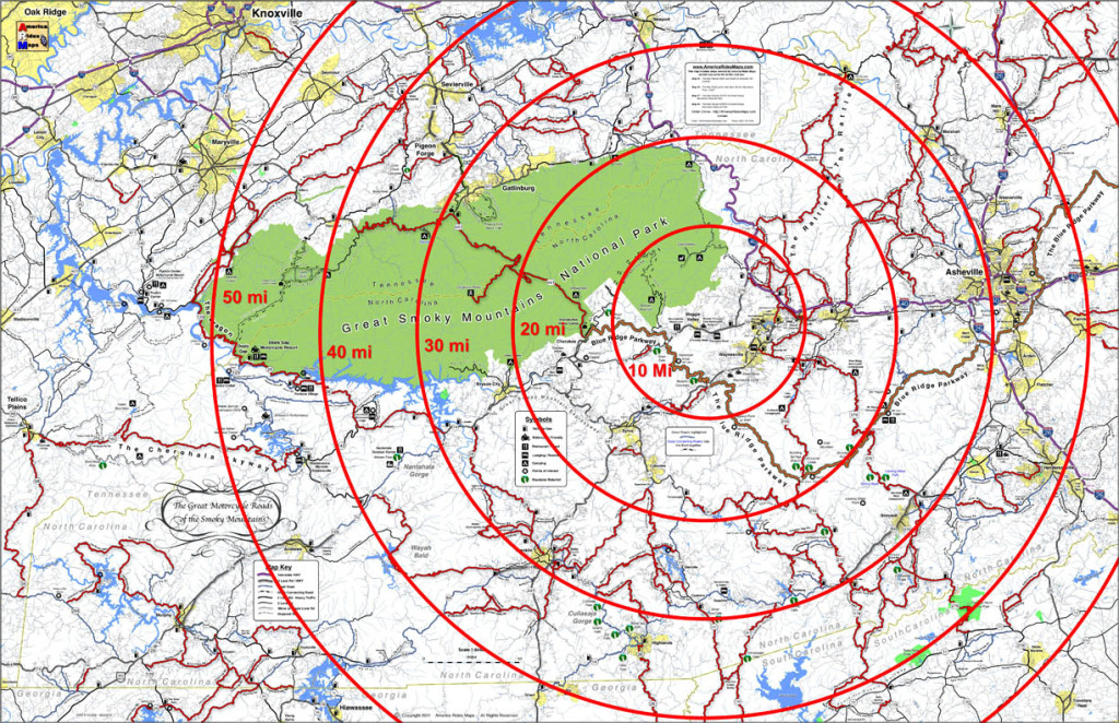
Next I moved a large circle around the center point of the classic rides to figure out when it contained the most good motorcycle rides overall. I made rings at 10 mile intervals, made a few adjustments, and came up with the answer;

Bullseye on the test place to stay

Bullseye on the best place to stay

The target falls on Maggie Valley, Waynesville, Cherokee.

Geographically, Maggie Valley sits at the hub of it all, but any of the towns along the south side of Great Smoky Mountains National Park is going to put you near some outstanding riding.

Here are some pros and cons to help you sort out which of the three places works best for you;

Maggie Valley 


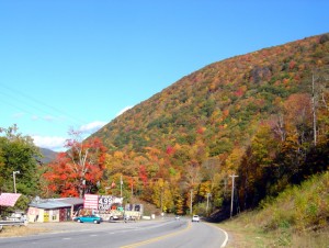
Photo - fall colors at Soco Gap

View heading down from the Blue Ridge Parkway at Soco Gap on US 19 towards Maggie Valley.

Maggie Valley Pros –

  • There are lots of motel rooms, cabins, and campgrounds in the one road town, it caters well to the motorcycle visitor.
  • The best section of the Blue Ridge Parkway is just 10 minutes up the road.
  • The are several good places to eat.
  • Wheels Through Time Motorcycle Museum is there.
  • The small town hosts several biker events each year, including spring and fall rallies.
  • The town is spread along a 4 lane stretch of US 19 with high mountains on looming on every horizon, you really feel like you’re in the mountains.
  • There are liquor stores in town.

Maggie Valley Cons

  • 15 min ride to Waynesville for groceries.
  • If you stay close to the middle of town you can walk to some of the restaurants and pubs, but the town is long and narrow so you’ll probably hop on the bike.

Waynesville

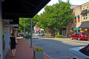
Main Street, downtown Waynesville

Main Street, downtown Waynesville

Waynesville Pros –

  • known for it’s good food and picturesque downtown and atmosphere.
  • There are mountains on every horizon.
  • US 276 leaves from the south end of town and leads to some great rides and the Blue Ridge Parkway

Waynesville Cons –

  • There’s only one motel in the downtown and a couple B&B’s where you can walk to the restaurants, pubs, and stores and galleries.
  • I usually tell visitors – eat in Waynesville, sleep in Maggie Valley unless you can snag one of the few rooms available in town.

Cherokee

One of the many painted bears in Cherokee

One of the many painted bears in Cherokee

Cherokee pros –

  • Strategically located at the south end of the Blue Ridge Parkway and the south entrance to Great Smoky Mountains National Park, Cherokee is obviously worth consideration.
  • There are lots of motels and campgrounds. No outstanding restaurants come to mind, though I don’t pass through Cherokee often.

Cherokee cons –

  • Because Cherokee is a hub of tourist activity it is often congested with traffic. The roads leading in to it are busy, there are few of them, and you’ll end up on riding 4 lane roads like US 441 and US 74 more often.
  • You’re on the Cherokee Reservation, if you want drinks you’ll need to go to Harrah’s Casino.

————————————————————————————————

100 Great Motorcycle Rides mapin the Smoky MountainsYou can get a map of more than 100 Great Motorcycle Rides near the Smoky Mountains that will show you where the roads are hiding and how they link together into endless wonderful wanderings through the mountains.

 Click Here Now
to see more about the map

If you enjoy photos of motorcycle riding in the Blue Ridge and Smoky Mountains, like MY BLUE RIDGE MOTORCYCLING FACEBOOK PAGE.Facebook

____________________________________________________________________

wayne busch - Smoky Mountain Motorcycle Rider.com

Wayne Busch

– Wayne Busch lives in Waynesville, NC, where he produces the most detailed and comprehensive and up-to-date motorcycle pocket maps of the Blue Ridge and Smoky Mountains to help you get the most of your vacation experience. See them here – AmericaRidesMaps.com

____________________________________________________________________
Blue Ridge Parkway Motorcycle Ride Strategies

Blue Ridge Parkway Motorcycle Ride Strategies:

Whether it’s a one day trip or part of an epic adventure, it’s good to have a strategy when setting out on a 469.1 mile long ride of the Blue Ridge Parkway. Here are some things to consider based on how long you have to make your end-to-end trip.

1 Day End-to-End

photo - grandfather mountain on the Blue Ridge Parkway

Grandfather Mountain south of Boone starts the climb into the high mountains of North Carolina

Some riders look for high mileage challenges. The Blue Ridge Parkway can be one of them – 470  miles with a 45 mph speed limit can be done in daylight on a long summer day. You’ll even have time to stop at a few overlooks for quick photos.

The key is “plan your gas stop so it’s close to a parkway exit to save time.” You’ll have to make a gas stop – choose the wrong exit and you can waste half an hour before you get to a pump.

I eat breakfast before and dinner after the ride, and pack a sub sandwich so I can eat at overlooks when I take breaks. Expect fog / clouds / mist / cool / damp in the morning, have a layer to shed in the afternoon. Go on a weekday, there will be less traffic. There’s no need to speed, but at the same time, if you’re slow through tight curves it’s going to be a long day. The ride is best done from north-to-south as it puts you in the highest sections in the afternoon when the clouds have lifted and it’s warmer.

2 Days Riding End-to-End

photo of parkway

You can really get away from it all on the Blue Ridge Parkway

2 days still means 2 pretty full days of riding.  You’ll want to be efficient with your gas stops and eating or it will sacrifice your time for sightseeing and enjoying the views. You’ll save time if you coordinate your time off the parkway well. Stop for gas where you can also eat lunch. Stay where you can eat or meals are close. You don’t need to feel rushed on a 2 day ride, but you do want to stay on track.

My strategy is to cover as many miles as possible the first day, then relax and enjoy the second day knowing you have less distance to cover. A 2 day ride is better done from north-to-south. Boone, NC is a good layover coming south. The North Carolina mountains really start to reach their heights south of Boone, you’ll be in them constantly the second day and have time to enjoy them. When going north I usually overnight near Hillsville or Floyd, or Meadows of Dan. You’ll have time to stop at Peaks of Otter and savor some of the best views from the Virginia section near the north end of the ride.

3 Day Ride End-to-End

photo  motorcycle on blue ridge parkway

If you want to stop and smell the flowers, plan at least 3 days.

If you want to get a full Blue Ridge Parkway experience, 3 days is minimum. If you’re planning to camp, it eases the pace.

With 3 days you can stop and see some of the cabins, the mill, and other sights along the road that you’d otherwise blow by.

3 days also opens the door to enjoying other outstanding rides in the Blue Ridge Mountains. Some connect to the parkway, some are close to it.

For the road warrior, it could mean doing the Blue Ridge Parkway in 2 days, then looping Great Smoky Mountains National Park to ride the Dragon at it’s western end on a three day blast!

Riding Sections of the Parkway

Blue Ridge Parkway View

The highest section has the best views

If you see only one section of it, ride between Asheville, NC  and Maggie Valley, NC. That 50 mile arc goes from the low point in NC to the highest point on the entire road with much of it above 5000 elevation. There are frequent overlooks and sweeping views, dramatic drops and rocky passes.

Another great section is the high remote stretch between Asheville, NC and Little Switzerland, NC. Mt. Mitchell State Park makes a nice side trip to the top of the highest mountain in the east. Nice long range views.

The Epic Adventure

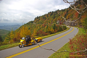
yellow motorcycle on blue ridge parkway

In it for the long haul!

The Blue Ridge Parkway is one part of the park road system. At the north end it continues as the Skyline drive into Shenandoah National Park for another 105 miles. At the south end, it meets US 441 to take you 30 miles across Great Smoky Mountains National Park. You can ride more than 600 miles on 2 lane twisty mountain roads entirely within our National Parks.

Leaving the National Parks you can then follow the parkways, skyways, and legendary back roads that weave throughout the south end of the Blue Ridge Mountains. I’d run through the Dragon, out across the Cherohlala Skyway, then down into north Georgia, looping back into the mountains south of the Blue Ridge Parkway.

The “I don’t want to ride the parkway” strategy

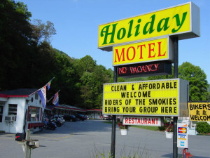
A holiday motel in Maggie Valley

Maybe you already have a favorite place to stay – when you find one, explore all the great roads nearby.

Maybe you’re one of millions who have already enjoyed a motorcycle ride on the Blue Ridge Parkway. Maybe you find it’s more enjoyable to stay in one place than be on the move.

The best location to maximize your access to the best motorcycle rides is somewhere along the south side of Great Smoky Mountains National Park. You’ll find less traffic and congestion, numerous motels, cabins, and campgrounds. There are plenty of rooms on the north side of the park in Gatlinburg and Pigeon Forge, but more of the good roads are on the other side of the park. Crossing through or going around Great Smoky Mountains National Park gets repetitive.100 Great Motorcycle Rides mapin the Smoky Mountains

Find a good base camp and get a copy of my 100 Great Motorcycle Rides in the Smoky Mountains map. You’ll spend more of your time riding that way. You’re surrounded by great roads, the map will show you how close they are! It couldn’t be easier!

Get map 100 Great Rides in the Smoky Mountains

see  The most detailed Maps Here – America Rides Maps

If you enjoy photos of motorcycle riding in the Blue Ridge and Smoky Mountains, like MY BLUE RIDGE MOTORCYCLING FACEBOOK PAGE.Facebook

____________________________________________________________________
wayne busch - Smoky Mountain Motorcycle Rider.com

Wayne Busch

– Wayne Busch lives in Waynesville, NC, where he produces the most detailed and comprehensive and up-to-date motorcycle pocket maps of the Blue Ridge and Smoky Mountains to help you get the most of your vacation experience. See them here – AmericaRidesMaps.com

____________________________________________________________________