It was noon before the temperature finally crested freezing, though I’m not sure it ever reached the predicted high of 35. The sky was blue, the sun was shining, and the roads were dry. I couldn’t stand it any longer and had to get out on the bike.

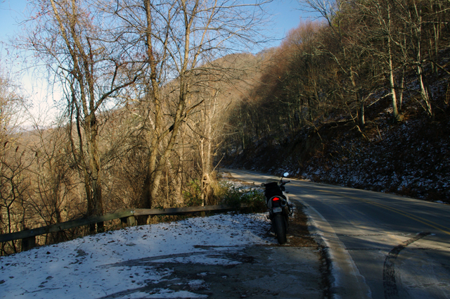
Shady spots on the north side of the mountains still held snow, but mostly it was gone. Roads were in pretty good shape. This is at Hookers Gap. Saw a Post-lady but no hookers. Probably too cold.
I ended up covering about 200 miles today, most of it riding back and forth on the roads which run between Liecester and Marshall, North Carolina. The majority of the key roads have already been discovered for this motorcycle ride map I’m working on. What I’m seeking now are the best ways to link them together and show you how to make connected rides that keep you cruising along without hitting traffic or four lanes or the interstate.

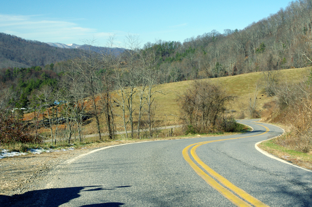
I think this is a section of Potato Branch Rd. It's one of my new favorites. You can link-ride it all the way back to the Blue Ridge Parkway or out to Hot Springs and beyond.
This area is only minutes from downtown Asheville. It doesn’t take long to “get lost” in the mountains surrounding the city. Outside of paving, these old roads have changed little in more than 200 years. They twist and wind through older neighborhoods, farmlands, homesteads and old barns, following the path of least resistance over mountain passes and along rushing streams and rivers.

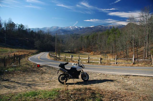
Winter riding may not be as frequent as during the warmer months, but it has it's rewards. I enjoy it as much as the rest of the year. This might be Early Mountain Road.
I also took a ride over by Cherokee to investigate a road which I thought I’d overlooked. As is too often the case, there was a good reason to ignore it – it was another one of those half-paved roads that lead up into mountain coves. They start out nice enough but once the grade gets steep the pavement ends. Rarely does one go through and you can waste a lot of time riding up dead end roads. I’m out discovering those roads which DO go through and are worth the ride. It was a very successful day.
_______________________________________________________________________________
– Wayne Busch lives in Waynesville, NC, where he produces the most detailed and comprehensive and up-to-date motorcycle pocket maps of the Blue Ridge and Smoky Mountains to help you get the most of your vacation experience. See them here – AmericaRidesMaps.com

Pingback: Tweets that mention Photos from Todays Motorcycle Ride in the NC Mountains 12-9-10 | Smoky Mountain Motorcycle Rider -- Topsy.com
You are a brave soul. I’m guessing you didn’t pass many other riders on your trip! I got as far as starting my bike up for a few minutes just to make sure it was still alive.