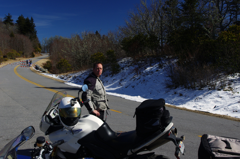
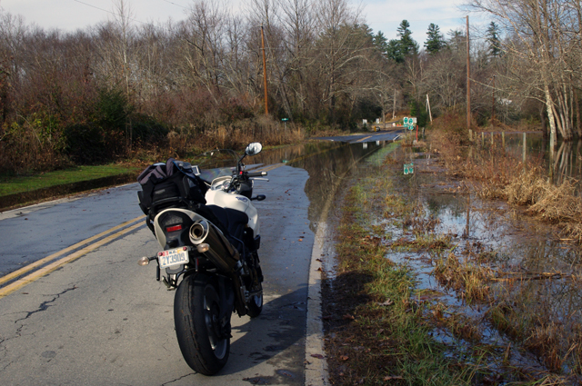
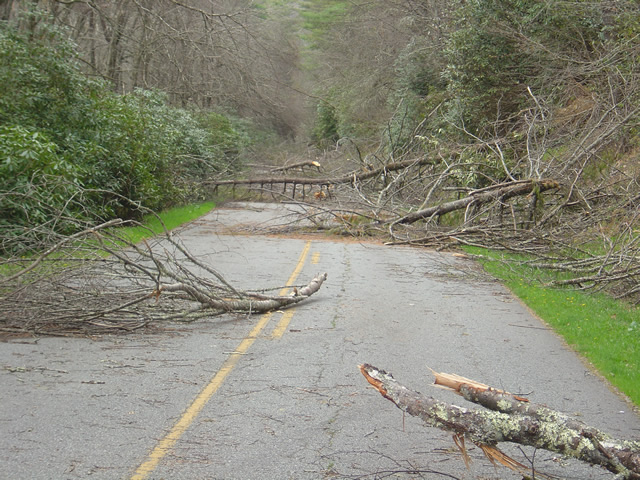
A minute after this photo was taken my bike lay on its side and I couldn’t pick it up.
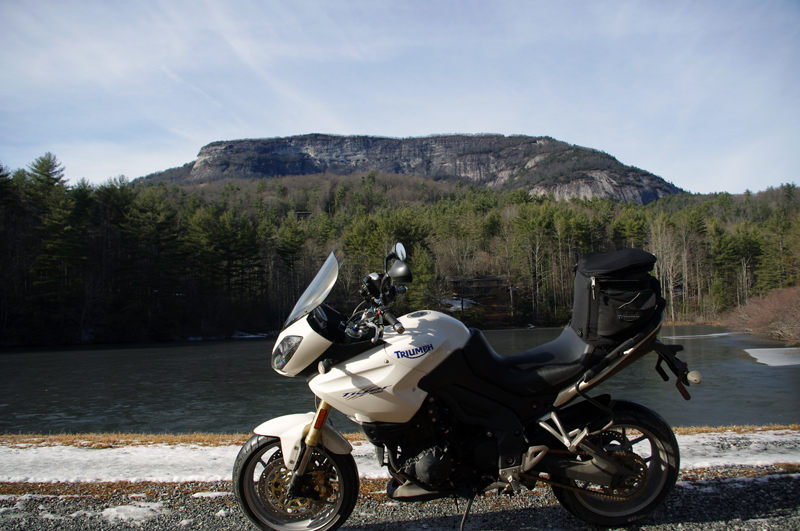
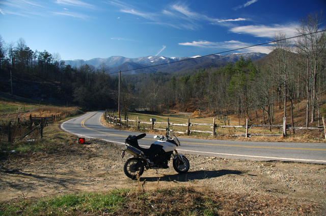
A minute after this photo was taken my bike lay on its side and I couldn't pick it up. Whiteside Mountain in the background has the highest cliffs in the east.
It was the last of the roads I planned to explore on a winter motorcycle riding dayin the Blue Ridge Mountains. I stopped at this frozen lake to take the picture beneath the 1000 foot cliffs of Whiteside Mountain. As I tried to turn the bike around and leave, my foot slipped on the icy gravel and down it went. Each time I tried to pick it up the wheels just skated on the frozen ground and I couldn’t get the leverage to lift it. Within minutes I was exhausted, out of breath, and starting to seriously wonder just how I was going to get out of this predicament.
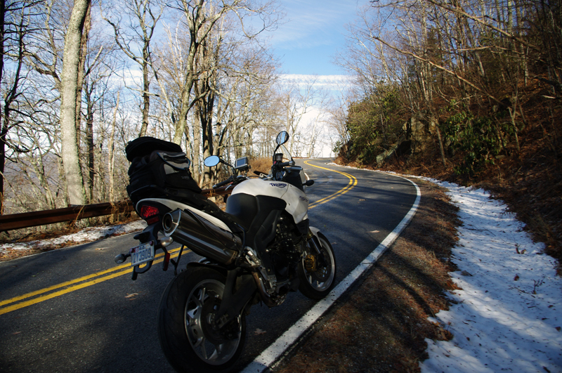
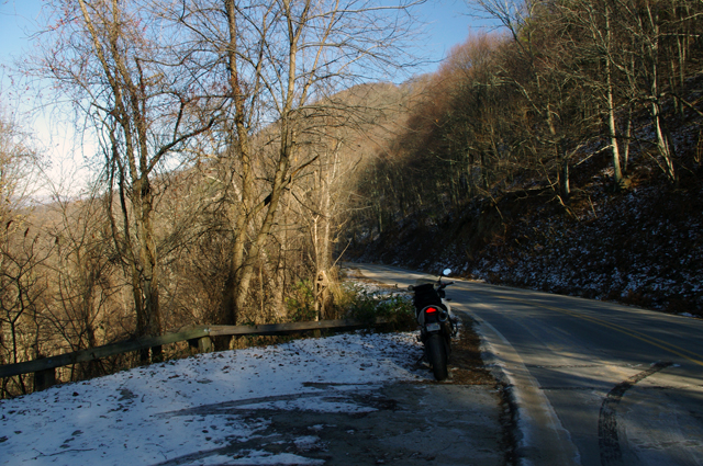
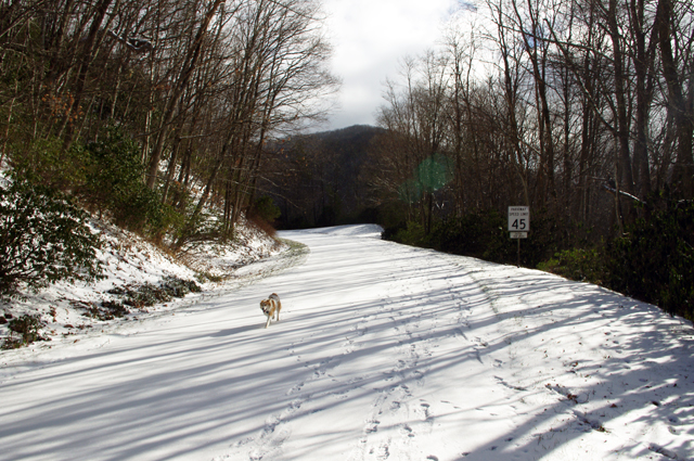
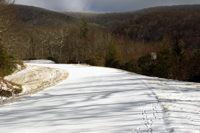
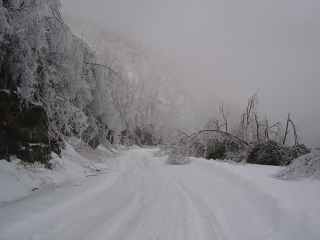
I didn't realize how icy US 276 was until I stopped. My feet skidded on the thin coat of black ice that covered parts of the road. It had been a long slow climb to get this far.
Had I any sense I would have turned back this morning and put this off, but I’ve set a deadline for this motorcycle ride map revision. After several days of a hard cold followed by rain, I figured the roads should be in better shape now with the relatively warmer weather. When the frostless morning came with 33 degrees on the thermometer and the promise of sunshine, I was elated to get back out on the road. It wasn’t as warm as I thought.

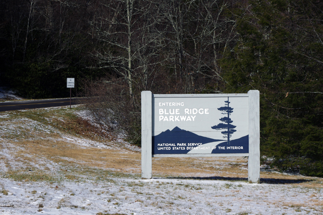
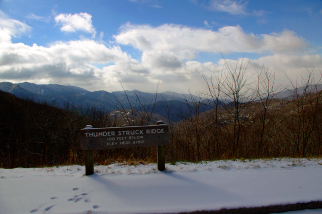
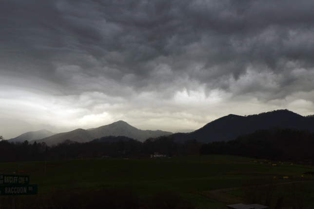
As I looked south when I crossed the Blue Ridge Parkway my destination lay beneath that bank of clouds near those mountaintop islands on the left horizon.
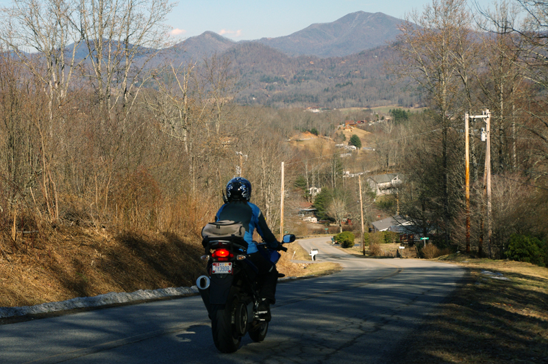
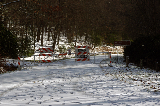
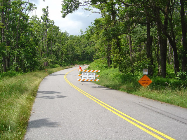
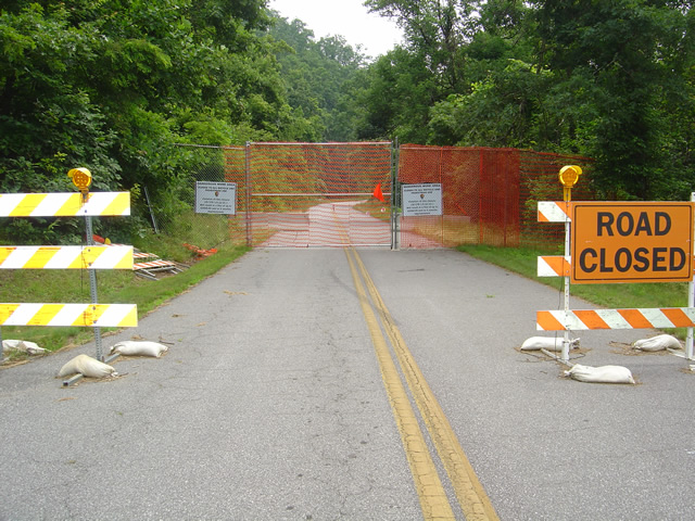
Heading out things appeared to be fine. The rains melted all but the last clumps of snow the plows had skidded to the roadside. The ride out through the Bethel Valley was as usual. Once I entered the Pisgah Forest and started the winding climb to crest the Blue Ridge Parkway it got interesting.
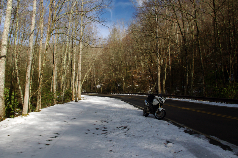
I thought conditions would get better once I started down the south side of the mountains but if got worse until I reached US 64 in Brevard.
This is where I’m supposed to entertain you
with how hard it was, how bad the roads were,
that it was all harrowing moments
of slips and slides and near spills –
That’s not how I recall it.
I play with conditions like these,
flirting with the balance
at the the edge of control.
Find the sweet spot of the given moment,
do my best to guide the slides,
find the rhythm of the road,
and push as far as I dare let it go.
That’s what I remember –
It took 2 hours instead of one
to reach the South Carolina border,
but once I came down off Caesar’s Head
the ice was gone.
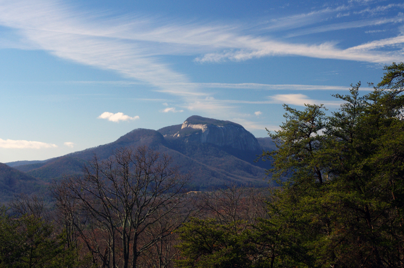
Table Rock in Table Rock State Park, South Carolina, viewed from US 276 coming down through the hairpin turns that descend from Caesar's Head State Park.
I picked up a few new roads in South Carolina for you to enjoy on your motorcycle vacation tour this year including one that was so promising I’m going to research the potential for mapping in that area. While I had to be vigilant for salt and sand, I had lots of fun on motorcycle rides old and new to me. As soon as I crossed back into North Carolina the snow and ice was back.
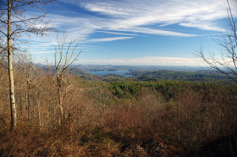
A view of Lake Jocassee, SC from the Wiginton Scenic Byway as I climb back into snowy North Carolina. Whitewater Falls, highest in the east, feeds the lake.
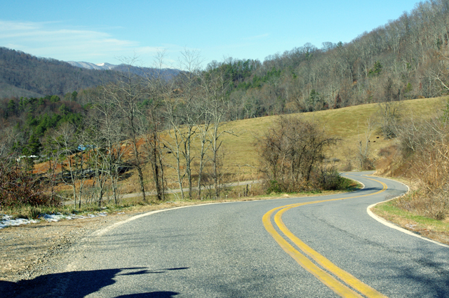
I knew it was probably a waste of time to ride out into Whitesides Cove, but I know this great spot to get a picture. There’s always the chance the unpaved portion to Highlands has been improved. Unless I check periodically I don’t know when one of these two lane twisties has had an upgrade and is worth adding to my Blue Ridge motorcycle ride maps.
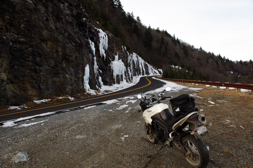
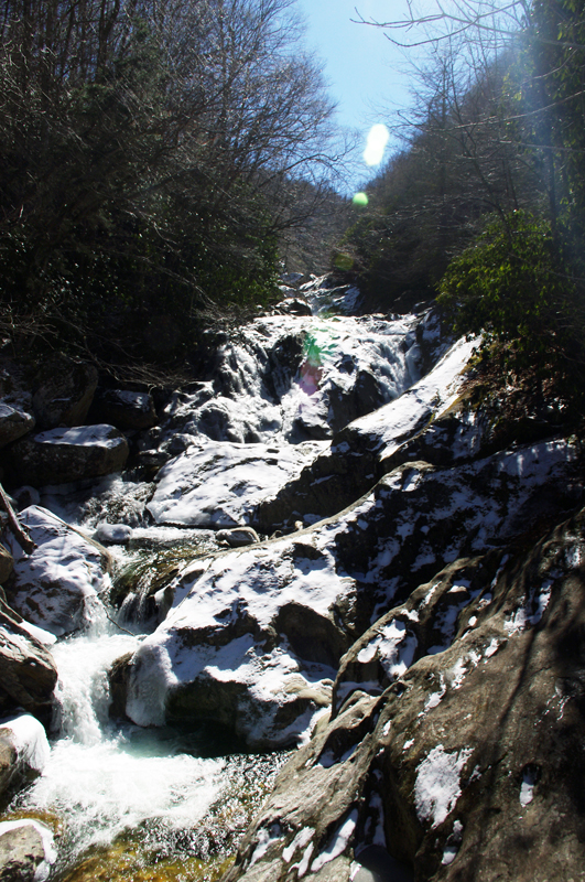
By spring these rocks on US 215 near the Beech Gap exit of the Blue Ridge Parkway will be coated with ice several feet thick.
You already know I got out of the jam. It sure wasn’t pretty. For a second I thought – “take a picture of this”, then a wiff of gasoline told me the longer it the bike lay there the less likely it would start. Little chance of someone passing by to help on this isolated road. The sun was getting low, things were already frozen, it would be a long cold night. It was time to be working my way home.
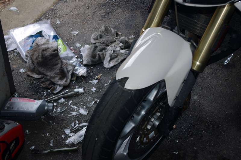
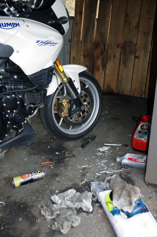
New lens already on order
I flushed with adrenaline when those thoughts hit, carefully considered the mechanics, dug my feet in, and with my back to the bike I half lifted-half wresteled the beast up with a quivering slo-mo almost failed heave. A broken turn lamp lens lay on the ground, the mirrors had twisted out of position, but otherwise the mud would wash away when I got home.
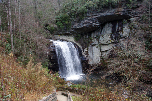
Hooray – I think that completes the roadwork I needed to finish up this new motorcycle ride map. I plan to have it ready by Christmas. It not only combines 2 existing maps into one, but adds more than a dozen new motorcycle roads I’ve never published before. It also gets nearly all the roadside waterfalls on a single map. This will be one of my most popular ride maps yet!
Visit America Rides Maps.com – the most inexpensive & comprehensive motorcycle ride maps available
_______________________________________________________________________________

- Wayne Busch – Cartographer
– Wayne Busch lives in Waynesville, NC, where he produces the most detailed and comprehensive and up-to-date motorcycle pocket maps of the Blue Ridge and Smoky Mountains to help you get the most of your vacation experience. See them here – AmericaRidesMaps.com
