I Just Keep Finding More Great Motorcycle Rides

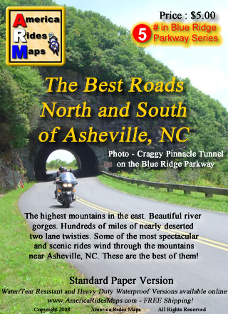
Image - Map CoverAsheville

Map - The Best Roads North and South of Asheville, NC - the revision is so close to being done.

I’ve resigned myself to the fact it’s going to take at least one more day on the road to investigate some roads for the revision of America Rides MapsThe Best Roads North and South of Asheville, NC“. I’ve already added more than a dozen new roads to the hundreds of miles of great motorcycle rides I’d already charted, roads which link the existing great rides together and expand the options to stay out on the two lane back roads enjoying the twisty bliss of carving through the tallest mountains in the east. I’ve got at least a dozen more yet to be evaluated and judged.

I systematically go through each of the dozen maps I now produce, re-evaluating each of the roads by riding them again, noting any changes along the way to insure you get the most up to date and best ride info I can produce. I’ve been reworking this Asheville map for well over a month now and thought I was closing in on wrapping it up. I sat down to knock off the last chunk of it today, and as the clock now approaches midnight my efforts have only yielded yet more possibilities that must be explored. The devil is in the details, and I too often find as I get down to the final detail work I start to ask questions. Has this road been paved? Is there a way to find a link between these two great rides? If this road was so good, what about this one nearby? The questions just keep coming and I research them as best I can then pencil in the ones I can’t rule out. There are enough unanswered to warrant another long day in the saddle, maybe two.

I’ll spend tomorrow getting things as close to finished as I can. Then, I’ll go out on the road and spend the day or two that’s needed to ride each and every one of them to see if they measure up. Though my last trip was very rewarding, this time I suspect it will be mostly disappointment – that’s the norm. Still, if one or two of them pan out, I’ll come home happy. These are the last of the last, kind of like sifting through the tailings at a gold mine to see if any small nuggets were missed. A real bonus is finding another reliable out of the way gas station. Maybe, just maybe, I’ll stumble across a real jewel. You never know until you ride it.


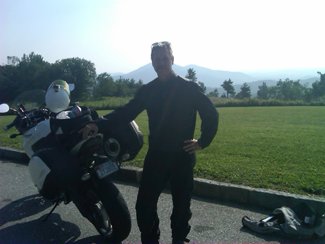
Photo - Wayne and his motorcycle

A couple more days on the road should do it. I'm really excited to get to the next map, I have some big plans for expansion.

Addendum: This region north of Asheville is one of the most undiscovered areas of great mountain motorcycle rides. Few venture into this area though there are a wealth of fabulous motorcycle rides through the tallest mountains in the east virtually devoid of any traffic. This time of year, when leaf peepers clog most of the backroads, you can ride all day through this area and count the cars on one hand. This map will give you a vacations worth of great rides and you’ll still come back for the ones you didn’t get to.

America Rides Maps – nobody covers the Smoky Mountains as comprehensively so you can make the most of your precious riding time.

_______________________________________________________________________________

Wayne Busch
Wayne Busch – Cartographer
– Wayne Busch lives in Waynesville, NC, where he produces the most detailed and comprehensive and up-to-date motorcycle pocket maps of the Blue Ridge and Smoky Mountains to help you get the most of your vacation experience. See them here – AmericaRidesMaps.com

Why Am I Kicking Off the Asheville Bikefest 2011 at the Easy Rider Motorcycle Show?

Photo - Easyrider Events

Easyrider Events

It was a busy week that found me in four states, the last of which was South Carolina at the Greenville Easy Riders Bike Show where I spent the day promoting the Asheville Bikefest and Blue Ridge Run coming next spring. This is a difficult post for me to write as I don’t want to get on the wrong side of so many who are involved with motorcycle events, people I need to work with, people who buy my America Rides Maps, and those for whom motorcycling has a different appeal. Please try to forgive me my viewpoint. In general, I don’t do events, it’s not for me.

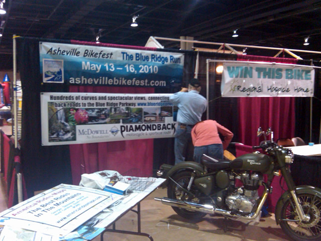
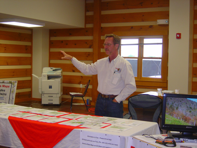
Photo - Setting up at Bike show

2 Hours to set up before the doors open. Mark and Yvonne prepare our stall.

For those who are involved, it’s a tremendous amount of work and hassle. I shudder at the tough life of being a vendor, the constant travel, set up and break down, long days spent trying to stand out from the rest of the crowd and reach people, hoping the weather cooperates and people turn out in sufficient numbers to make it worthwhile. I’ve done it a few times and I respect those who either make it their living or spend their efforts doing promotions for products and manufacturers.

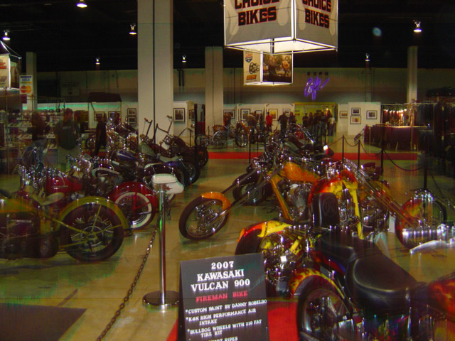
Photo from Easyriders Bike Show

Quite the assortment of custom motorcycles at the show - unfortunatley, they're not my cup of tea.

Nor do I go out of my way to attend events – The circus formula always seems the same. Vendors, bike shows, stunt shows, loud music, festival food and (not so cheap) cheap beer, bike games, yadda yadda. Of course the crowds who attend are generally as much a part of the experience as anything else, people and bike watching is one of the best parts, there’s always something that has you shaking your head for one reason or another. I suppose it’s as good an excuse as any to visit new places, a reason to ride somewhere, and for some it seems to be all about chasing the next party.

Photo - Amazing detail work on this trike

The detail work on some of these machines is amazing but for me they are just enormous paper weights - too delicate to ride.

Despite this viewpoint, I was up at 4 AM Saturday morning loading my stuff in the truck quite happy to be rendezvousing with Yvonne and Mark Cresswell, promoters of the Asheville Bikefest and Blue Ridge Run for the ride down to Greenville.  I was eager to spend the beautiful fall riding day in a booth encouraging people to come to the event next spring. WHY?

Photo from Easyrider Bike Show

Hundred of hours, thousands of dollars to build a bike you don't dare ride. While I appreciate the dedication and effort, I'm still a function beats form guy.

For me, motorcycling is all about the ride. “Go” trumps “show” for me. Function beats form. Give me the bike that best lets me engage the road and relate to the ride. Sure I appreciate the esthetics of my machine, but my days of cleaning chrome, fretting every blemish and speck, washing, waxing, and polishing, and pondering the next piece of bling are long over. I’ve got better things to do with my time, I’d rather be out on the road.  The reason I’m so enthusiastic about the Asheville Bikefest and Blue Ridge Run and why I believe in it – it’s about the riding.

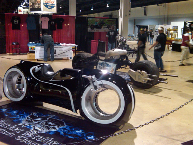
Photo - concept bikes at show

Either concept bikes or movie props, I couldn't determine if they actually moved under their own power. I wouldn't want to have to ride one of these very far.

Located just minutes from the Blue Ridge Parkway and hundreds and hundreds of miles of some of the best motorcycle riding found anywhere, the Asheville Bikefest and Blue Ridge Run can’t help but become one of the nations major motorcycle events because it has so much more to offer the motorcycling visitor simply because of its geography. Combine one of the worlds best motorcycle riding locations with the talent and experience to coordinate a major event, throw in the outstanding scenery in a location within easy reach of millions of riders, add the spice of fun and funky Asheville, and you’ve got a recipe for an experience that will satisfy any taste. As the spring rally at Myrtle Beach continues to implode and burn out, this new star is rising thanks to the Cresswells at Worldwide Dynamics.  Their legacy of involvement with promoting some of the biggest motorcycle events such as Sturgis, Laconia, Leesburg, and others bring the connections and clout to not only bring in the big dogs from the factories, but be selective in choosing the best of vendors and entertainment.

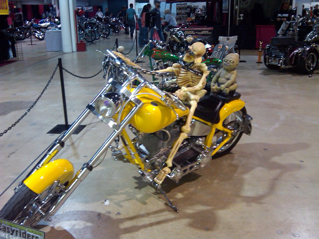
Photo - skeleton on a motorcycle

Halloween themes were timely this late in October.

Last year was the first Asheville Bikefest and Blue Ridge Run and we all wondered if it would go at all. Approvals and commitments did not come in until the last minutes and the opportunities for pre-promotion were scant. Most of the big dogs know better than to invest their time in a first year show. It’s a hurdle you’ve got to clear, a bar to jump to show it can be done. That leap is behind us now and the majors are making their commitments.

Photo - the Route Master at work

Me at the Asheville Bikefest and Blue Ridge Run helping you find the best rides and routes.

I’ll be back again this year acting as “Route Master” (unless we come up with a better title). Let Mark handle the Bikefest end of things. My mission is to get you out to enjoy the riding just as the first warm spring weather breaks and the trees and mountain foliage are in full bloom. There are so many outstanding motorcycle rides nearby you can come back every year for the rest of your life and ride a great new motorcycle route each time, though I suspect you’ll develop a handful of classics that are worth revisiting over and over. I think I did a good job last year giving out 30 local ride maps – trust me, nobody rode them all. I’ll be your resource to help you plan those daily excursions, route you to the best of the best, and help you discover the hidden sights and treasures that abound.


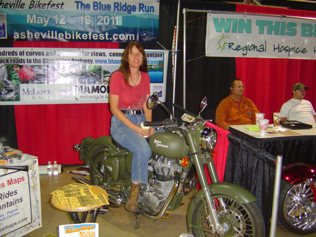
Photo - Yvonne on her Royal Enfeild

Yvonne on her 2010 Royal Enfield Military Edition motorcycle, a design virtually unchanged since 1955. She really likes it.

Pencil in May 12 – 15, 2011 on your calendar for the Asheville Bikefest and Blue Ridge Run. Kick off your riding season with a bang, get outfitted, test ride that new bike, and discover the undiscovered secrets that make the Smoky Mountains one of the best motorcycling regions in the world. It’s all about the ride.

Asheville Bikefest and Blue Ridge Run 

_______________________________________________________________________________

Wayne Busch
Wayne Busch – Cartographer
– Wayne Busch lives in Waynesville, NC, where he produces the most detailed and comprehensive and up-to-date motorcycle pocket maps of the Blue Ridge and Smoky Mountains to help you get the most of your vacation experience. See them here – AmericaRidesMaps.com


Great Motorcycle Rides North of Asheville Discovered

It’s not often I have such a successful day when out exploring for new motorcycle rides to add to my maps but Friday was one of the best. Most of the roads I evaluate don’t measure up against my strict standards – low traffic, engaging scenery, and a challenging and fun motorcycle ride. Nearly every road I explored turned out to be good enough to add to my map of “The Best Motorcycle Rides North and South of Asheville, NC”.

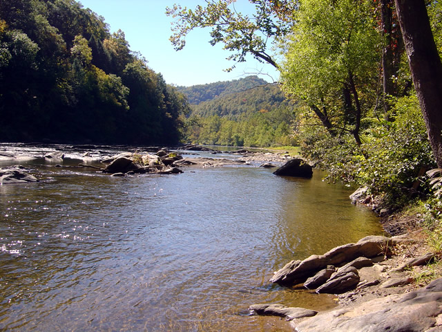
Photo - river north of asheville

Most of todays rides were through the valleys near rivers. The twisty roads hug the banks.

The weather was ideal – atypically warm, sunny, and clear. The first hints of fall color were starting to emerge in places. Most of that is concentrated in the highest elevations right now, see the post to follow for some photos of the best color. The bulk of todays riding was searching out roads to link and connect to the already outstanding rides previously discovered.

Photo - river north of Asheville

I stopped here for a break along NC 197. It's a great ride as are the roads which connect to it.

I had been avoiding the area around US 19W due to the construction to widen the road to 4 lanes. Part of the mission was to discover the side roads which skirt around it. That construction will be going on for quite some time. I found a bunch of them.

Photo - The lake at roaring Creek, TN

You can see a hint of fall color near this lake along Roaring Creek Road in Tennessee.

I also located a nice loop ride south of Johnson City, Tennessee, a good road to make loops near Roan Mountain, and quite surprising, still more great rides near Little Switzerland and the Diamondback. Much of the riding this trip was down low, through the valleys and along the rivers which are rides you can do pretty much all year round, places to go  after the Blue Ridge Parkway has closed for the winter season.

Photo - Stopped near Roan Mountain

This road turned out to be a great way to make a loop ride when doing the popular ride over Roan Mountain. There is one very short but well maintained unpaved section.

I’ll be adding these new motorcycle rides to the map  The Best Motorcycle Rides North and South of Asheville, NC” this week. It’s almost done with the upgrade to the new and improved format slow but sure.

Photo - mountain view

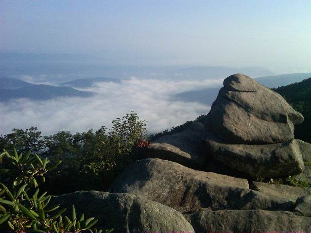
The skies have been unusually clear lately and the long range views are outstanding.

I got some great photos of the start of the fall color in the higher elevations on the Blue Ridge Parkway. You’ll find some nice stuff starting near Boone and Banner Elk, in the area around Mt. Mitchell and the Black Mountains, not so much near Craggy Gardens, and then some north and south of Asheville. It’s still a little early, the peak will come next weekend, though it will continue through the lower elevations for a while. Next post will show you some color.

America Rides Mapshttp://americaridesmaps.com 

_______________________________________________________________________________

Wayne Busch

Wayne Busch - Cartographer


– Wayne Busch lives in Waynesville, NC, where he produces the most detailed and comprehensive and up-to-date motorcycle pocket maps of the Blue Ridge and Smoky Mountains to help you get the most of your vacation experience. See them here – AmericaRidesMaps.com


The Most Challenging Motorcycle Ride Found? A day with the map guy.

I am either;

  1. Getting too old and out of shape
  2. Coming down with the flu
  3. Rode harder than I have in a long time

It’s probably a combination of the first point and the last. I awoke last night sore from the chest down due to throwing my bike around all day in my never ending quest to discover the best motorcycle rides in the Smoky Mountains. It was not planned to be such a day but it turned out to be quite an adventure.

I set out around 8AM for Shady Valley, Tennessee, home of “the Snake” motorcycle ride to make a delivery of motorcycle maps to the Shady Valley Country Store. Plan was to ride up, enjoy the Snake, make the delivery, then check out half a dozen roads nearby in hopes to add some to my motorcycle pocket maps. I knew one would just be a connector route. I didn’t have high hopes for many of the others, though a couple held promise.

It was beautiful and cool up on the Blue Ridge Parkway in the morning. Skies were clear and bright. Even the half hour on Interstate 40 to Asheville was pleasant. There’s little traffic before 10AM once you leave the highway and I pretty much had the road to myself. I watched hopefully for bears north of the city, then enjoyed the run up the wonderful new sections of pavement to pass Mt. Mitchell. Looks like they’ve pretty much wrapped that job up. Saw one grouse, a few hawks, but no bruins.
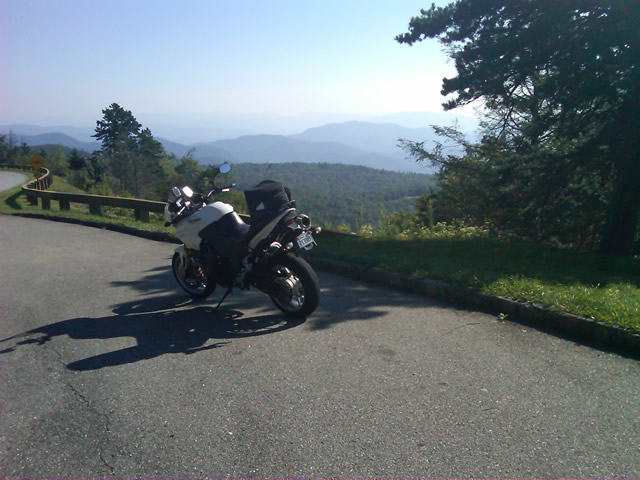
Photo - on the Blue Ridge Parkway

Clear, cool, breezy morning on the Blue Ridge Parkway near Altapass.

I stopped to tweet my first photo at an overlook where I could count on cell phone reception. Though hurricane Earl was approaching the coast, here in the mountains no impact was expected. Even so it was noticeably breezy.

I hit one brief delay for tree work, and another for guardrail replacement. I surprised a flock of turkeys as I came near Little Switzerland. Passing Linville, I left the Blue Ridge Parkway at Roseborugh Road, one of those handy unmarked crossroads that descends through a series of tight turns to NC 105 at Grandfather Mountain. NC 105 took me north through the congestion of Banner Elk. Broadstone Road led me west of Boone to Valle Crucis. NC 194 led to US 421 which I followed through Mountain City and into Tennessee to reach Shady Valley.

A brief pit stop turned into a decent delay as I took time to chat with several riders, mostly locals, and return phone calls when the intermittent cell reception cooperated. I figured it would take a couple hours to see the roads I wanted, then I’d zip back home as I came.

Photo - Shady Valley Country Store

The sun was still shining at the Shady Valley Country Store though the winds were getting gusty. Things would change as the afternoon wore on.

The first few roads proved less than expected. They were a decent ride for a cruiser maybe, though it was not type of rural scenery that makes a road interesting. I explored another after a couple bikes passed in the opposite direction to find it intersected the fourth road at an unknown point. Still nothing special. I turned to backtrack on the fourth road so I would be sure to ride it end to end and was thrilled to find the short leg wonderful. Nice sweeping turns through pretty countryside. Hopeful, I spun about at the intersection with 197 and headed back. The remainder disappointed. Too much straight and only mildly interesting. It was worth adding to the map but not recommending highly. The natural flow dictated I bypass the next on the list meaning another backtrack to explore the better alternative.

The last of the most promising roads was accessed from US 321 near Watauga Lake. It was tight, it was twisty, but it didn’t appeal. It was then that serendipity  struck. Rather than continue on my planned path, instinct told me to detour onto another road. I followed it through turn after turn after turn and it went on and on and on. All the while I expected it would peter out  into a goat trail but it just kept going without letting up. Mile after mile on narrow, sometimes poor, blacktop it climbed through the mountains finally dumping me out at Banner Elk Highway. I pulled into an abandoned gas station to take my notes and decide how to describe it.

I kept asking myself, “But was it fun?” There was no doubt it was challenging, very challenging. It kept you on the edge the whole time. It never let up. I ride the Dragon routinely and this road is much more difficult and sustained. I’d come up on some traffic and had to simply ride behind it, no room to pass, so I didn’t feel I could give it an accurate evaluation. Nor was I sure what lay at the other end. Only choice was to ride it back and see where it came out.

As I turned about my heart sank. A school bus turned onto the road ahead of me. While it looked empty, this would still be an exercise in pain as it could only crawl through the narrow serpentine climb ahead. What a relief when it pulled off within a few hundred feet. It wasn’t long before I had my answer. This road WAS fun.

Unimpeded I rode it enthusiastically back as I’d come. A few miles in I remember thinking, “If you get out of second gear on this road, look down – you’re riding a moped”. I reached the point where I’d first turned on to it and continued past. The road name changed, but its character did not. I continued mile after mile carving through the exquisitely tight turns, dodging gravel patches, potholes, and debris now falling on the road from the increasing wind. I was so happy when US 321 appeared at the margin of the screen on the GPS. I’d found a new way to link a couple major roads. Awesome.

That ride was worth the trip. I stopped and entered the notes in my Blackberry. From there I turned onto US 321 to head on to check out the last couple roads. The weather was deteriorating. Skies dark, winds gusting, it didn’t bother me a bit. Shortly, I came up on another biker who suddenly veered off on another road back in the area where I’d just been riding. I circled back out of curiosity to see what business this cruiser guy had in such a rugged area. The road he chose was a superb cruiser road and I caught up to him just as he pulled into his yard at the junction with the first great road. Bonus! Instinct paid off again.

I returned to US 321 via the cruiser road to make time. It was getting late and the weather would soon add more to the challenge of these tight roads. After a short ride on US 321, I started down the last of them which turned out to be a disappointment. A few miles in I spied a road connecting to it I felt needed exploring and eventually found a better approach though I did waste a good bit of time on dead ends and gravel lanes. Plan was to take this road a few miles, then turn onto another to make my way back towards Mountain City. As I approached the turn, instinct took over again and I purposefully rode past it.

The GPS showed the road I was on getting tighter and twistier and it was climbing higher into the mountains. Thats usually a pretty good indication it’s going to deteriorate to nothing once it nears the top and the road grew narrower and more challenging as it went on. I considered just giving up on it, but something made me go on. The smell of fresh rain on a dry road filled the air and I started hitting dark patches of pavement. I was really questioning myself when I emerged  atop a pass with a rugged valley stretched below and signs warning of a steep descent and switchbacks appeared. It would have been beautiful in nicer weather, but the dark and angry clouds only hastened my urgency to continue on, dreading the thought of having to retrace my steps.

I’ve ridden a lot of miles in the mountains yet never seen switchbacks as tight as these. I plunged down through the valley wondering where I’d end up, hoping I’d find some landmark to steer me back to something familiar. When the road ended, I looked at the sign ahead to see I was on the road I’d meant to explore next. Another great ride found, and I was ready to wrap things up after this last road.

It was longer then I thought and I reached US 421 south of Mountain City. It was now 5 PM. Rain was coming down in sheets. I turned south towards Boone. The Friday evening traffic before the holiday weekend crawled and stalled in the rain. I dreaded the idea of going into Boone and  veered off on 194 to bypass it. More traffic. I stopped near Banner Elk to top off the tank and called home to let my wife know I wouldn’t be there for dinner. We discussed the weather, the traffic, and decided I’d prefer the exposure to the elements on the Blue Ridge Parkway over the hazards of this crazy traffic. It was the right choice. The rain let up once I got up high.

I coursed through the mountains in the twilight relatively unimpeded. It got cold but I made good time. Reaching Asheville, I merged into the traffic jam that clogged Interstate 40 all the way home. Arriving in my driveway as darkness fell, I’d had a successful day. I’d discovered some great roads. I had reason to go back with hopes of more. I had money in my pocket. Sometimes, a cartographers life is to be envied. I wish I had more photos, but I got swept up in the riding. Maybe next time.

wayne@americaridesmaps.com

America Rides Maps – from north Georgia to north Virginia, the best motorcycle rides

_______________________________________________________________________________

Wayne Busch

Wayne Busch - Cartographer


– Wayne Busch lives in Waynesville, NC, where he produces the most detailed and comprehensive and up-to-date motorcycle pocket maps of the Blue Ridge and Smoky Mountains to help you get the most of your vacation experience. See them here – AmericaRidesMaps.com
 

Motorcycle Touring the Blue Ridge Parkway in One Day – What was it Like?

On Thursday I rode the Blue Ridge Parkway on my motorcycle from the start at Waynesboro, Virginia, 469 miles to the southern end at Great Smoky Mountains National Park in North Carolina. As I progressed I paused to snap photos and posted them on Facebook and Twitter. Here’s a recap of the experience;

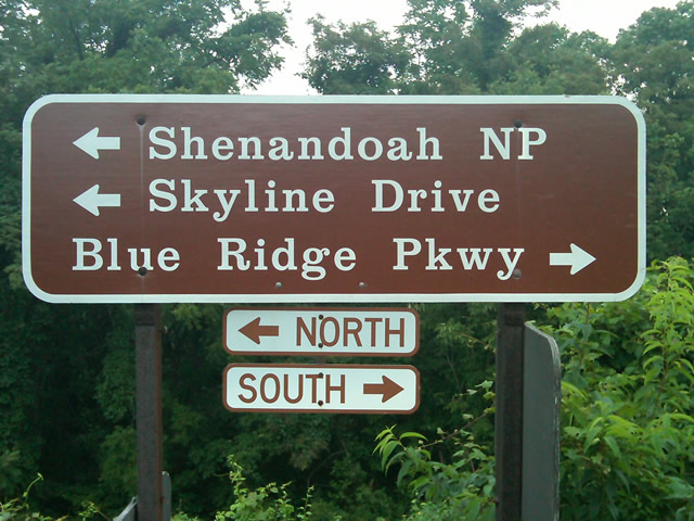
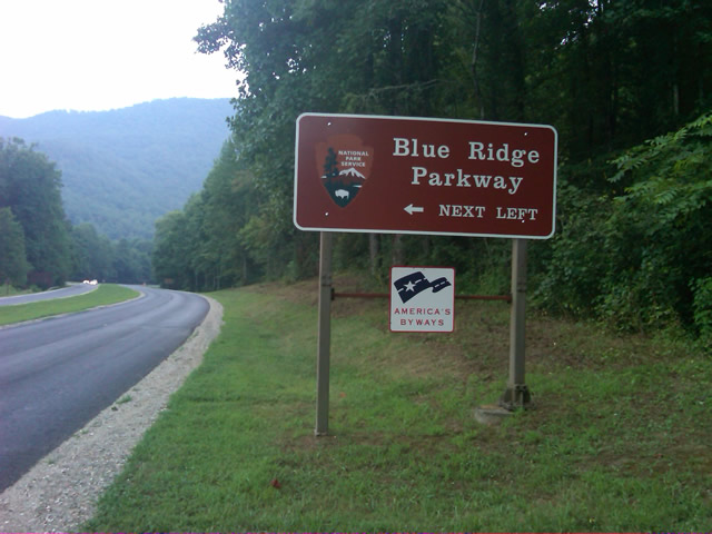
Photo - sign at start of Blue Ridge Parkway

The Blue Ridge Parkway starts where the Skyline Drive ends near Waynesboro, Virginia.

I chose to start at the north end as I knew I’d need to leave at daybreak. The morning fog has been so heavy at the southern end I didn’t want to chance it slowing me down or making for pictures of nothing but white mist. I spent the previous night in Richmond and left before 5 AM to make the 1 1/2 hour ride to Waynesboro in the darkness.

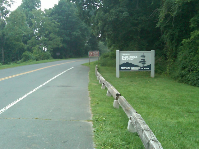
Photo - sign at the start of the Blue Ridge Parkway in Virginia

I took these photos the previous day as I expected it would be too dark to take them on the actual trip. I was right.

I fueled up in Waynesboro, grabbed a cup of coffee and a pack of doughnuts to sustain me, and headed on my way. It would be the last time I stopped to eat or drink. 469 miles is a long way at the 45 mph speed limit. I had no time to waste. At least that was my attitude early on.

Photo - morning at the lake on Otter Creek

The sun comes up at the lake on Otter Creek. Easy ride so far.

I had the road to myself in the early morning twilight. Within a few minutes I’d seen both deer and turkey. The road starts a gradual climb to elevation here though nothing like the heights reached further south. With no other traffic on the road, my speed crept up a bit, something I’d fight the remainder of the trip. As you get comfortable and into the rhythm of the road, the temptation to take things at your more comfortable pace is always there taunting you. Knowing how far I had left to go didn’t help.

Photo - Above the clouds approaching Roanoke

I paused at this overlook to top up on oil, lube what was left of the chain, and take a few moments to savor the views I was rushing by.

I was also facing the challenge of not knowing if my chain would last the trip. It was already shot before I left, adjusted to the end of the swingarm, far beyond the normal limit. It now sagged precariously and was making noises that had me wondering when it would snap. I’d never seen a chain smoke when lubed before, and I took advantage of opportunities to slather it with lubricant whenever my concerns peaked. I prayed it would not jump the sprockets when carving through a turn and catapult me into a rock face or over a precipice.

Photo - me and my bike along the Blue Ridge Parkway

A fellow biker snapped this photo of me at a rest stop. Riding from Florida to Maine and back, he and his wife were enjoying the parkway on their return.

Traffic remained surprisingly light through the morning with few holdups to pass slower vehicles. I watched the parkway wake up, the rangers and maintenance crews come to work and start their labors. Finding cell phone coverage to post my photos was always a challenge. You never know when it will be available, sometimes there in what looks like the most unlikely spots, other times absent where you think it should be a strong signal.

Photo - near Doughton Park

By mid morning there were plenty of other motorcycles on the road. This photo was taken somewhere near Doughton Park.

My first stop for gas necessitated a detour into Floyd, VA. Knowing where the nearest gas stations are is one reason I map the area so throughly. You can waste a lot of time looking for them if you don’t know which way to go. While in Floyd I popped in for a minute to see Derek at the Hotel Floyd, one of my favorite places to stay.

Photo - Historic cabin on the Blue Ridge Parkway

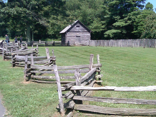
There are a few historic cabins along the road in southern Virginia.

As I crossed into North Carolina and entered the high mountains I knew cell phone coverage would be much more limited. The curves tightened up bit and the road was often wet from spotty showers. It would be another day with temps approaching near 100 in the valleys, but at elevation things remained tolerable so long as I was moving. I somehow avoided all but a slight peppering of rain which felt wonderful at the time.

Photo - Grandfather Mountain

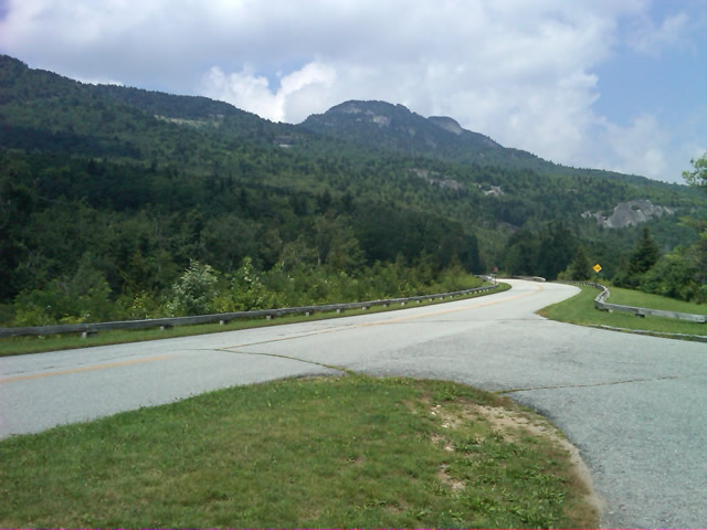
Passing Grandfather Mountain I felt I was back on home turf though still a long, long way to go.

Delays had been brief so far, and I planned my next fuel stop to coincide with a quick stop to say hello at the Switzerland Inn in Little Switzerland, one of my favorite places to eat or overnight. I fueled up in Spruce Pine. It was tempting to get a good meal, but I forced myself to press on. The real hold ups came as I approached Asheville. Tree crews and road construction caused significant delays and I hit the “commuter section” during evening rush hour.

Photo - French Broad River Overlook

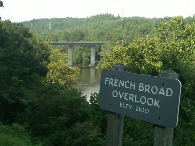
It was a great relief to finally cross the French Broad River southwest of Asheville and begin the climb to the highest and most scenic section of the Blue Ridge Parkway.

The sun was drawing near the horizon as I carved my way along the high ridge tops of the section of the Blue Ridge Parkway I consider my back yard. Thunderheads lurked and the road was wet in places, but my luck continued.

Photo - at the highest point on the Blue Ridge Parkway

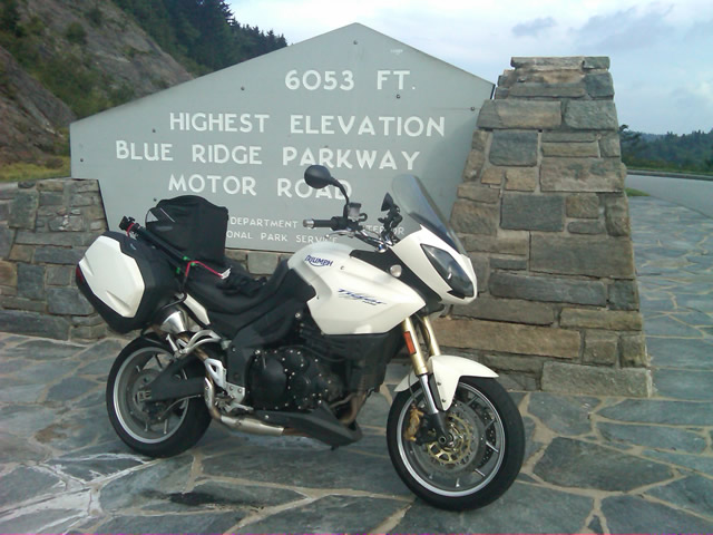
Reaching the highest point on the Blue Ridge Parkway, I knew there was less than 40 miles to go to reach my goal.

I reached the southern end of the 469 mile ride with daylight to spare and took a pause at the Oconoluftee Visitor Center in Great Smoky Mountains National Park. I grabbed a few photos but found the battery was now dead on my cell phone. Here they are now –

Photo - start of the Blue Ridge Parkway in North Carolina

The Southern end of the Blue Ridge Parkway near the Oconoluftee Visitor Center.

While my Blue Ridge Parkway in a day adventure was completed, I still needed to get home. Noting the evening traffic, I chose to avoid going into Cherokee and got back on the Blue Ridge Parkway now headed in the opposite direction. I rode through to Soco Gap, then passed through Maggie Valley to finally get to my home in Waynesville.

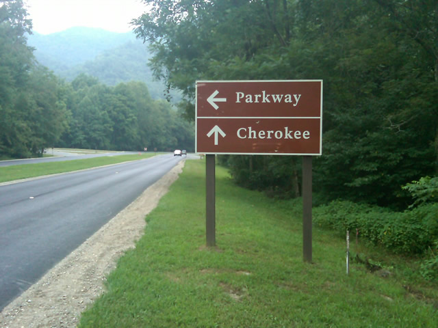
Photo - sign at the southern end of the Blue Ridge Parkway

Go through Cherokee or back the way I'd come? I chose to return home via the Blue Ridge Parkway of course.

My chain lasted the trip. My rear tire is bald. It’s time for some service on the engine. New parts are on order and it will take this week to get the bike roadworthy again. Next week? I might just poke into east Tennessee. I’ve too long ignored the area between Great Smoky Mountains National Park and Knoxville. If I can locate at least a dozen good rides there it will warrant a new motorcycle pocket map. I discovered some great roads along the Virginia / West Virginia border on this trip, several of which will be added to existing America Rides Maps. It will take a few more trips north to determine how the map of that region will lay out but it will come. For now, it’s catch up on the work I left, update the existing maps with the new rides I discovered, and make preparations for the roads ahead.

America Rides Maps on Facebook

America Rides Maps on Twitter

America Rides Maps – the best motorcycle pocket maps money can buy

_______________________________________________________________________________

Wayne Busch

Wayne Busch - Cartographer


– Wayne Busch lives in Waynesville, NC, where he produces the most detailed and comprehensive and up-to-date motorcycle pocket maps of the Blue Ridge and Smoky Mountains to help you get the most of your vacation experience. See them here – AmericaRidesMaps.com


Temporary Blue Ridge Parkway Closures in Asheville This Week – Suggestions

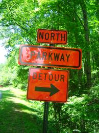
Photo - Detour sign on the Blue Ridge Parkway

It's not a detour, it's an opportunity to explore!

Was it too good to be true? Finally, the Blue Ridge Parkway opens from end to end after 18 months of problems and here we go again – more closures to add spice to your motorcycle vacation. Parts of the “commuter section” of the Blue Ridge Parkway in Asheville will be closed this week as a tree trimming crew works it’s way north through the area from 8:30 AM to 3:30 PM each day. You’re not missing much in the way of motorcycle touring or scenery in this closed section. The Parkway is reaching its low point near the city to cross the French Broad River and there is little to see, though the park headquarters and visitor center are located here. It’s referred to as the “commuter section” as so many locals use the Parkway to skirt around the southeast side of the city and avoid the traffic.

The section where the closures will occur is between the NC 191 exit at MP 393 near the Arboretum on the southwest side of  Asheville to the US 70 Exit (a.k.a. Tunnel Road / Oteen) at milepost 383. The crew will start near 191 and work north. I’m not sure why they need to completely close down the road – I went through some pretty heavy tree work in Virginia and they were only holding up traffic as needed to do the trimming and clear the debris, nor are the trees in this section particularly close to or overhanging the road. Maybe they are planning to drop some of the big ones.

As for alternative routes, it’s going to be nearly impossible to avoid going through the city. I suggest you make the most of it and see what’s makes Asheville so much fun and unique. Of course you can just follow the detours and take I-40 as directed, though I try to avoid the US 70 exit and Tunnel Road – it’s congested and there are a lot of accidents in that area, though getting on the Interstate is not difficult. Nor is the 191 end of things all that attractive, but you gotta get through it. Consider taking a little extra time and getting off the Blue Ridge Parkway at the next exit north at Town Mountain Road.

Town Mountain Road is one of my suggested good rides. It’s nice and twisty, passes by the Grove Park Inn and Spa (drinks on the veranda anyone? Oh, so nice), then dumps you right in the heart of downtown. Passing through the city on your motorcycle tour gives you the opportunity to find some outstanding dining and discover why it won the “Beer City” award again this year at one of the numerous microbreweries. As there’s really so little to see on the closed section of the Blue Ridge Parkway, and so much to discover in Asheville, why not make the most of it? That way you’ll be ahead of the game for next years Asheville Bikefest and Blue Ridge Run and already know some of the hot spots.

Discover the thousands of miles of great motorcycle touring roads in the surrounding mountainsAmerica Rides Maps

Blue Ridge Parkway Motorcycle Road Construction Report / photos 7-14-10

Photo - stopped on the Blue Ridge Parkway

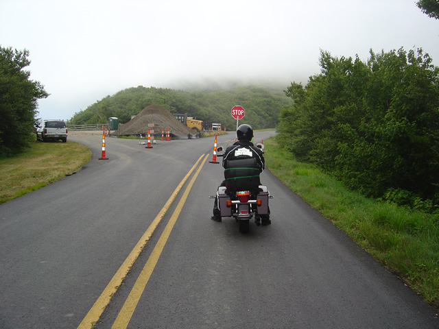
A short delay between Mt. Mitchell and Craggy Gardens near the roadwork.

I took a motorcycle ride through the North Carolina section of the Blue Ridge Parkway to confirm my suspicions this morning. Even with the heavy fog up high it was clear that the bulk of the Blue Ridge Parkway paving work in North Carolina has been completed. While work continues, the major roadwork between Asheville and Mt. Mitchell is done and you may expect smooth new pavement on your next motorcycle ride.

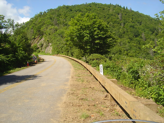
Photo - section of new Blue Ridge Parkway guardrail

The new wooden guardrails are much heavier and a little higher than the ones they replace

The focus has now shifted to the margins of the road as the drainage is being cleaned and groomed, trees are being trimmed, and most significantly, new wooded guardrails are being installed. You will hit short delays when you come upon this work. North of Mt. Mitchell State Park you’ll still hit some bumpy areas of road. The worst of the pot holes are being filled and patched.

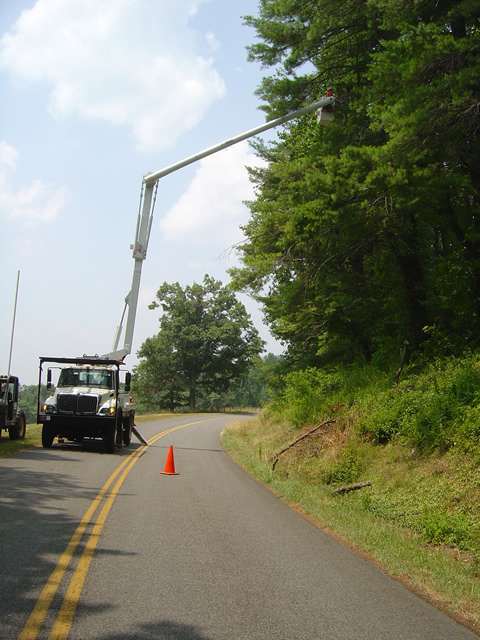
Photo - tree trimming on the Blue Ridge Parkway

The most extensive tree work is on the Virginia side of the border where much of the winter damage is yet to be removed.

Further north on the sections of the Blue Ridge Parkway near the North Carolina and Virginia border, you’ll still run into sections being paved, though nothing as extensive as what was done to the south.  On the Virginia side of the border, the paving is in short sections and along the edges of the road. I’m hoping this is just laying down a base for a fresh coat of pavement over the top as some of the patched areas dip lower than the untouched sections of road and you’ll notice the drop. I’m impressed with the stone work being done to construct the drains.

Photo - Clouds hug the tops of the black Mountains this morning

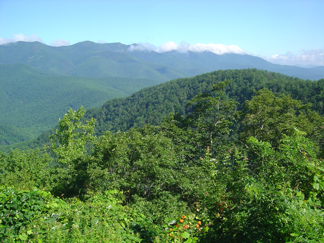
Take time to pause and look at the Black Mountains, some of the most rugged and beautiful peaks in the south. Clouds hugged the tops this morning.

Overall, delays are brief, you’ll hit more in Virginia right now, but the work that has been done was needed and welcome. No major changes at the rock slide area south of Asheville – one lane remains open controlled by a traffic signal.

Wayne from America Rides Maps

Blue Ridge Parkway Rockslide – Photos / Info – July 4, 2010

Photo - view of the rock slide

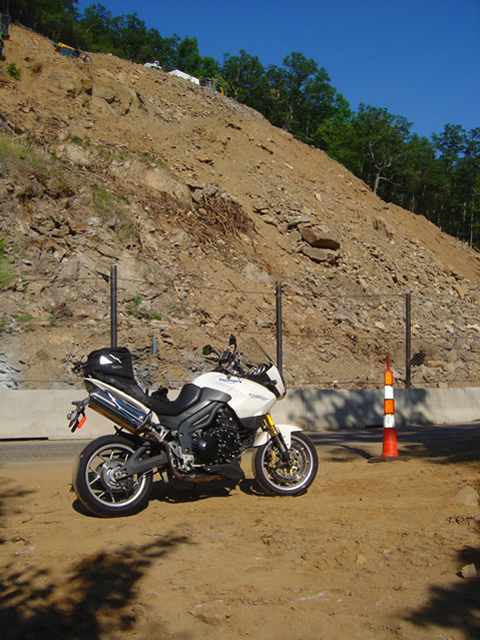
Once a steep hillside giving way, the rock slide is now being reshaped into a more gradual slope near milepost 400 on the Blue Ridge Parkway.

My July 4th holiday was one of those exquisite weekends with ideal weather, clear skies, and lots of time on the motorcycles. I managed to hit four states, rode several of the most notable routes, discovered some new rides, and treated my riding partners to at least one America Rides Maps road they’d never seen before that they will surely remember. While I touched the Blue Ridge Parkway several times, the holiday traffic took much of the fun out of it for me and I stuck mostly the little known hidden two lane mountain back roads I know so well. Finally, Monday evening, I rode up to view the newly opened section at the rock slide south of Asheville.

Photo - traffic waits on the parkway

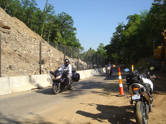
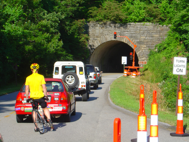
Waiting to go at Ferrin Knob Tunnel #1 south of the work area - A set of temporary traffic lights control passage through the single lane open at the site of the rock slide cleanup.

One lane is open at the Blue Ridge Parkway section near milepost 400 between Asheville and Mt. Pisgah. Passage is controlled by a set of temporary traffic lights on either side of the work area. They are programed to change about every 5 minutes so delays are tolerable though I’m sure the lines got pretty long during the peak of the weekend. Concrete barriers and a chain fence separate the tourists from the workers and prevent too many boulders from tumbling down onto the road.

Photo - the single open lane on the parkway

A concrete barrier and high fence help protect from boulders and debris which might come down from above. It's a short ride past.

They’ve removed one heck of a lot of rock from up high on what was previously a pretty vertical section of hillside. It now slopes more gradually, though there’s enough loose rock and soil above to make one hesitant to linger below. There’s still quite a bit to haul out and stabilize before the second lane is opened in September, but it will come.

photo- work zone near Buck Spring Tunnel

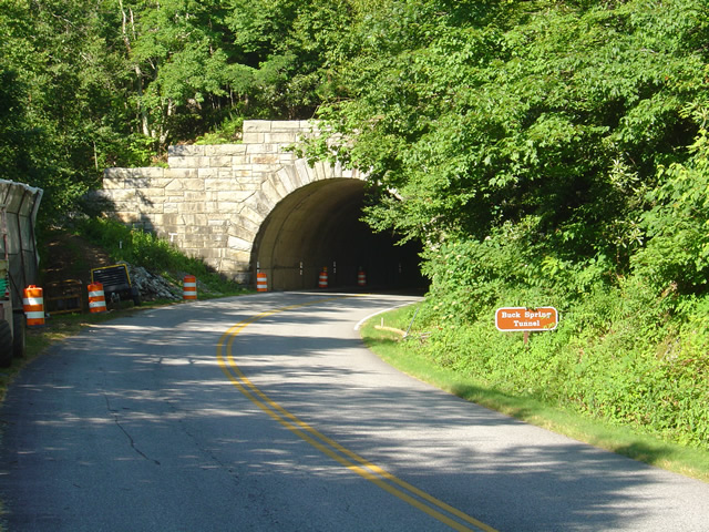
Another set of traffic lights is being used near work on the Buck Springs Tunnel just north of the Pisgah Inn.

There is a second work area at the Spring Gap Tunnel near milepost 408 just north of the Pisgah Inn. A set of temporary traffic lights also does duty here as the tunnel work progresses. It doesn’t appear to be too extensive and I wouldn’t think it will last long, but count on another delay.

This is great news, and I’m glad to see it finally come to pass. For the first time in more than 18 months the Parkway is open from end to 469 mile long end. Enjoy!

wayne@americaridesmaps.com
Last Blue Ridge Parkway Section Opens Friday – Personal Road Report

Photo - Blue Ridge Parkway barricade at NC 151

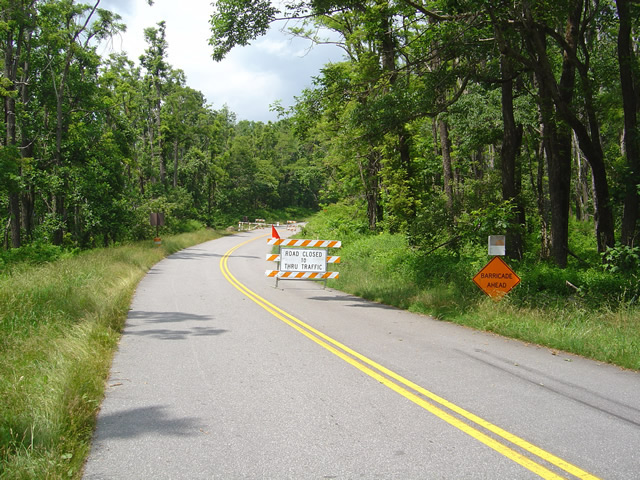
Blue Ridge Parkway barricade at NC 151 on the south side of the closed area.

For the first time in 18 months or more the entire 469 miles length of America’s favorite motorcycle ride, the Blue Ridge Parkway, will be open for travel. I’ve patiently watched and waited for this day, trying to sneak peeks at the progress on clearing the slide area near milepost 400 without success. Despite a grueling bicycle ride to make first hand observations, I was put off by the high fence and $5000 fine for trespassing, and have had to simply wait for the announcement. Work is still being done and there will be temporary traffic lights to manage traffic at a nearby tunnel.

Photo - fence near closed section of the Blue Ridge Parkway

I was put off by the high fence and $5000 trespassing fine from getting a first hand look at the progress.

Work continues elsewhere on the Blue Ridge Parkway clearing the damage from one of the most severe winters on record. One of the worst hit areas near Linnville is now pristine again, an amazing job considering how badly it was affected. Ice and wind storms had covered the road with fallen trees and debris. Riding through now, you’d have to know what to look for to see evidence of the devastation now hidden by fresh summer greenery.

Photo - View of Blue Ridge Parkway with trees down from ice in February

View of Blue Ridge Parkway with trees down from ice in February

Paving continues between Mt. Mitchell State Park and Asheville, most concentrated near the Craggy Gardens area. The southbound lane is nearly completed and the quality of the new roadway is outstanding. You’ll hit a few delays and a mile or so of road that has been top-scraped in preparation for new asphalt. There are some rough sections and pot holes. The north bound lane still has a way to go and while the killer pot holes have been filled, the road is rough for many miles. It has also been prepped, but the pot holes are more numerous and it’s a bumpy ride.

Photo-section-of-the-Blue-Ridge-Parkway-damage-near-Linnville

The volume of trees down on the section of the Blue Ridge Parkway near Linnville was amazing. You wouldn't know it looked like this riding through now.

A recent hazard to be aware of is near Mt. Mitchell State Park where guardrail replacement is being done. A very slick sand is found in places near this work and motorcyclists should be vigilant and exercise caution. This video shows what to watch out for.

http://americaridesmaps.com The best Blue Ridge Parkway maps
Another Great Motorcycle Ride to be Added to the List – My Secret

It’s not all that frequently I miss a great motorcycle ride in my explorations. I really try to be thorough as well as intuitive, so few slip by. Still, I can’t claim to know ALL the great roads in the southern Appalachians, just the vast majority of them. I continue to find more, and quite embarrassingly, they are too often close to home. Everyone believes they know ALL the great roads right in their back yard. Time and again I am proven wrong, and that’s not such a bad thing.

Stop reading now if you think I am giving this one away. No photos, no road names, nada. I just gave away 30 routes at the Asheville Bikefest for free and people gobbled them up. Nor is this a post about the Asheville Bikefest, I think you may be getting sick of hearing about that, but be cautioned, there will be more to come. The event was far more successful than expected and stuff is flooding in. The only reason I mention the event is because I found this great road because of it.

As Route Master for the Asheville Bikefest (there I go again, last time) I spoke with countless people helping them find the best rides in the area and getting them to see the most in the time they had. When you’re passionate about something, even work becomes fun. I went almost non-stop for four days and I had a great time. That’s why I founded America Rides Maps.

So anyway, this guy wants me to direct him to one of the two dozen local roadside waterfalls, which I do, so he can get of picture of his bike behind it. Yeah, you can actually drive behind this waterfall right off the road. He didn’t find it. Why, I don’t know, it’s one of the most obvious roadside waterfalls there is but that doesn’t matter. What matters is this guy doesn’t give up. He gets directions which lead him off into the forest. He rides and rides everything in sight, exploring places I know better than to go. He never finds it.

The next day he comes back to me and tells me he couldn’t find the waterfall. I’m a bit incredulous, it’s so easy. I redirect him. He relates his adventures and tells me he found this awesome motorcycle ride. I’m dubious. If he couldn’t find the easy waterfall do I believe him now? I made a mental note of it nonetheless. About an hour later I’m talking to a couple of women. They’re buying maps of the areas closest to them (we all think we know our own back yard), right down the street from the “event which will not be named again in this post. Out of curiosity, I ask if they know of this road the guy mentioned. “I live on that road, it’s great!”
So I can’t resist. Today I have to check it out. It rocks. Who cares how or why I missed it.   I’ll add it to the “The Best Roads South of Great Smoky Mountains State Park – EAST” map tomorrow. The other routes in the area I’d previously identified were detours around a congested town and a four lane section of road which formed one leg of a 100 mile+ triangle of superb riding. Now I think I’m looking forward to the detour more than the great rides that lead to it.
I have some more leads to follow up. I know some will be disappointing. I think I’ve done at least one and rejected it, my standards are high, but you never know. I’d be very pleased to find another jewel.