Two Blue Ridge Parkway Attractions at Roanoke, VA

It’s too easy to ride past two great Blue Ridge Parkway attractions at Roanoke – Mill Mountain and Roanoke Mountain. Both are just south of the city and worth a visit. The Park Service roads which lead to them are well marked.

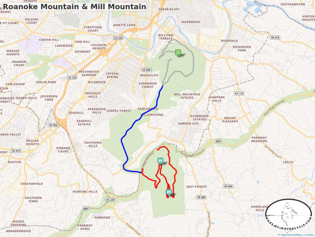
Roanoke Mtn and Mill Mtn Map

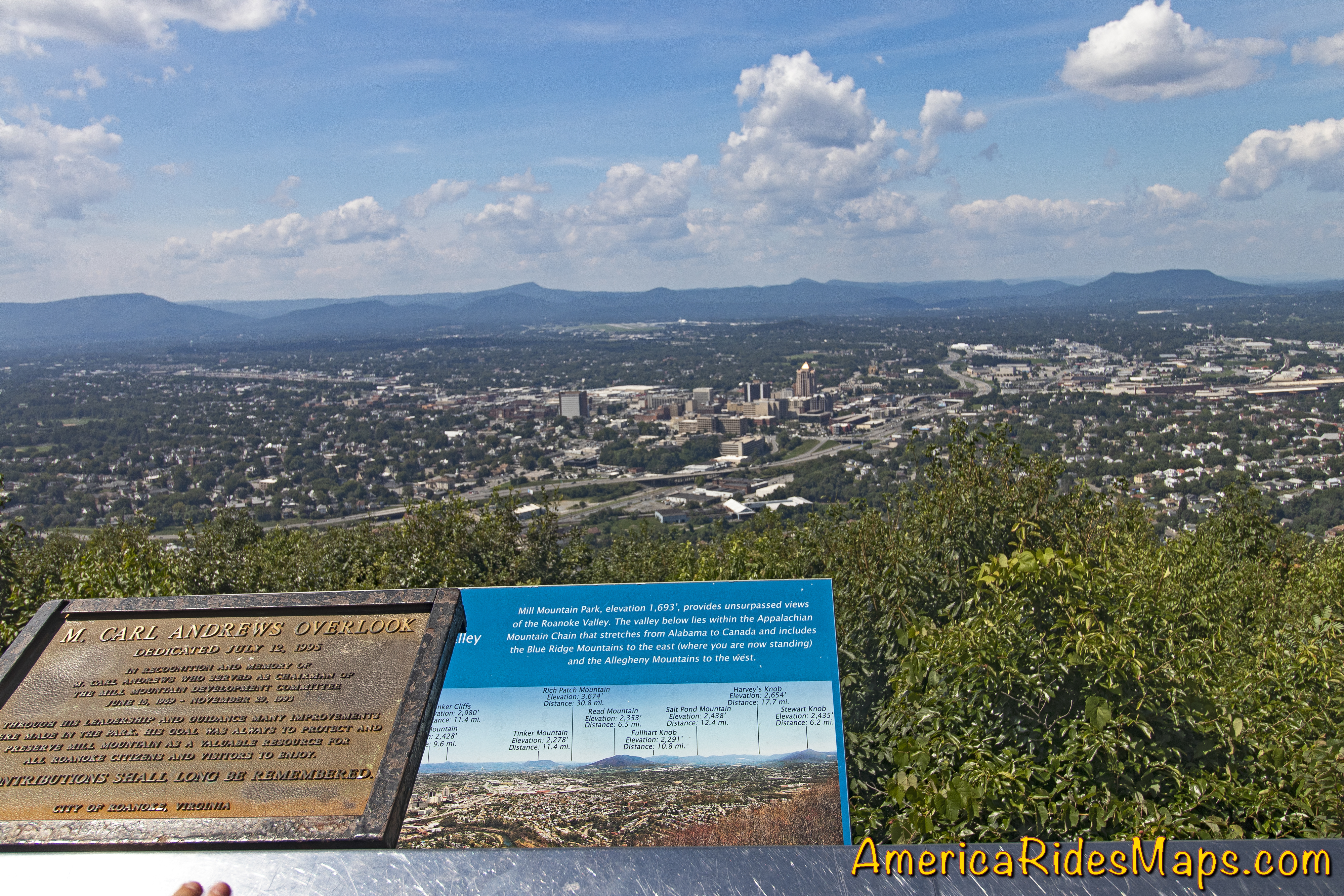
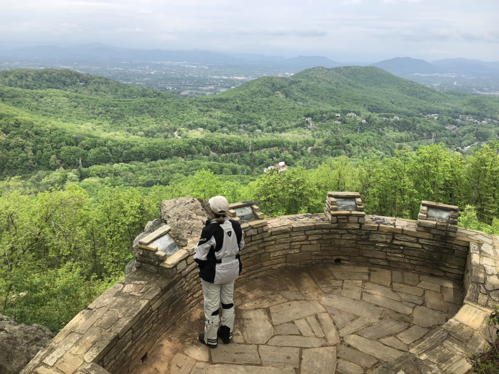
Roanoke Mountain Loop Road at Milepost 120.3 is on the east side of the parkway. The 3.75 mile single lane one-way paved road winds up then down the mountain to reconnect with the Blue Ridge Parkway. There is an overlook at the top of the mountain but the better view is from the Mill Mountain Overlook on the climb up. It takes about 20 minutes to ride it though I always stop at the overlook.

Roanoke Mountain - Mill Mountain Overlook

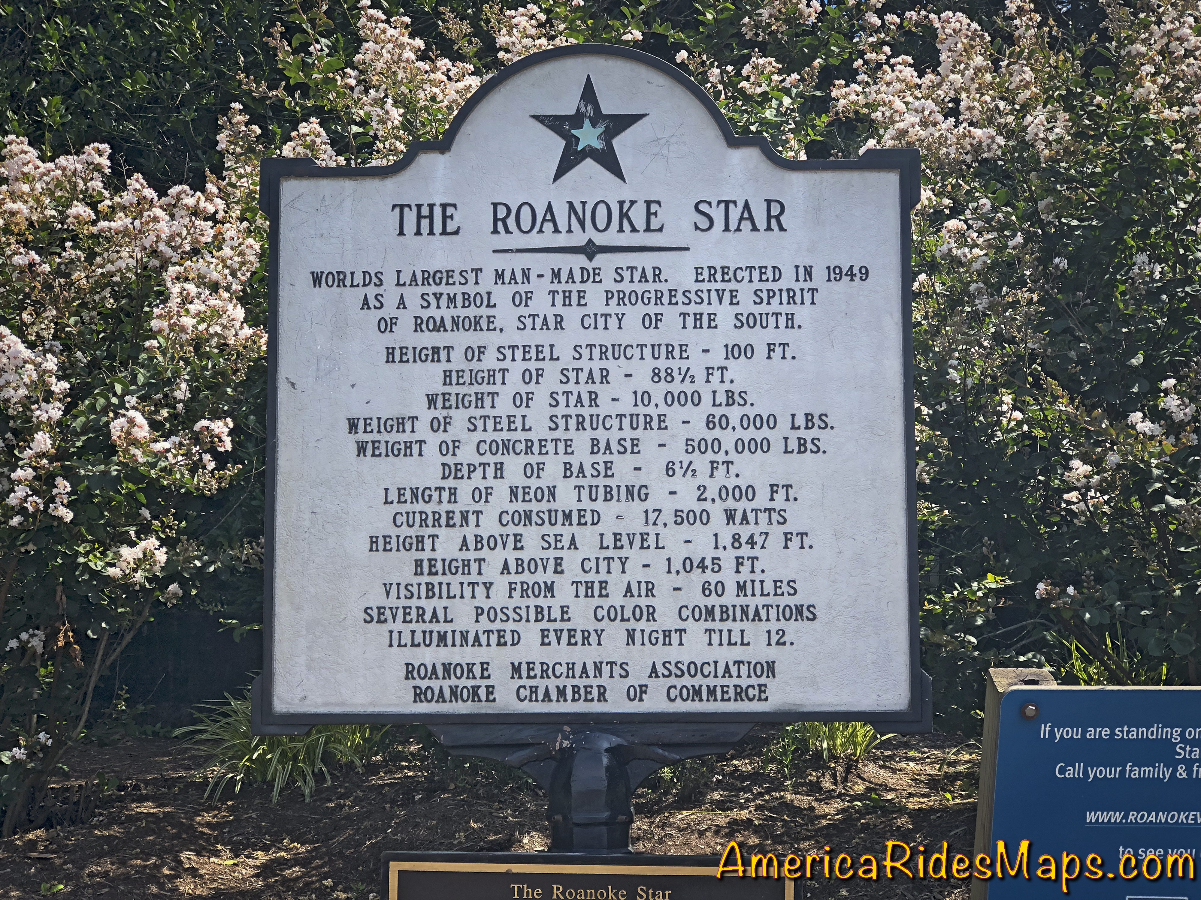
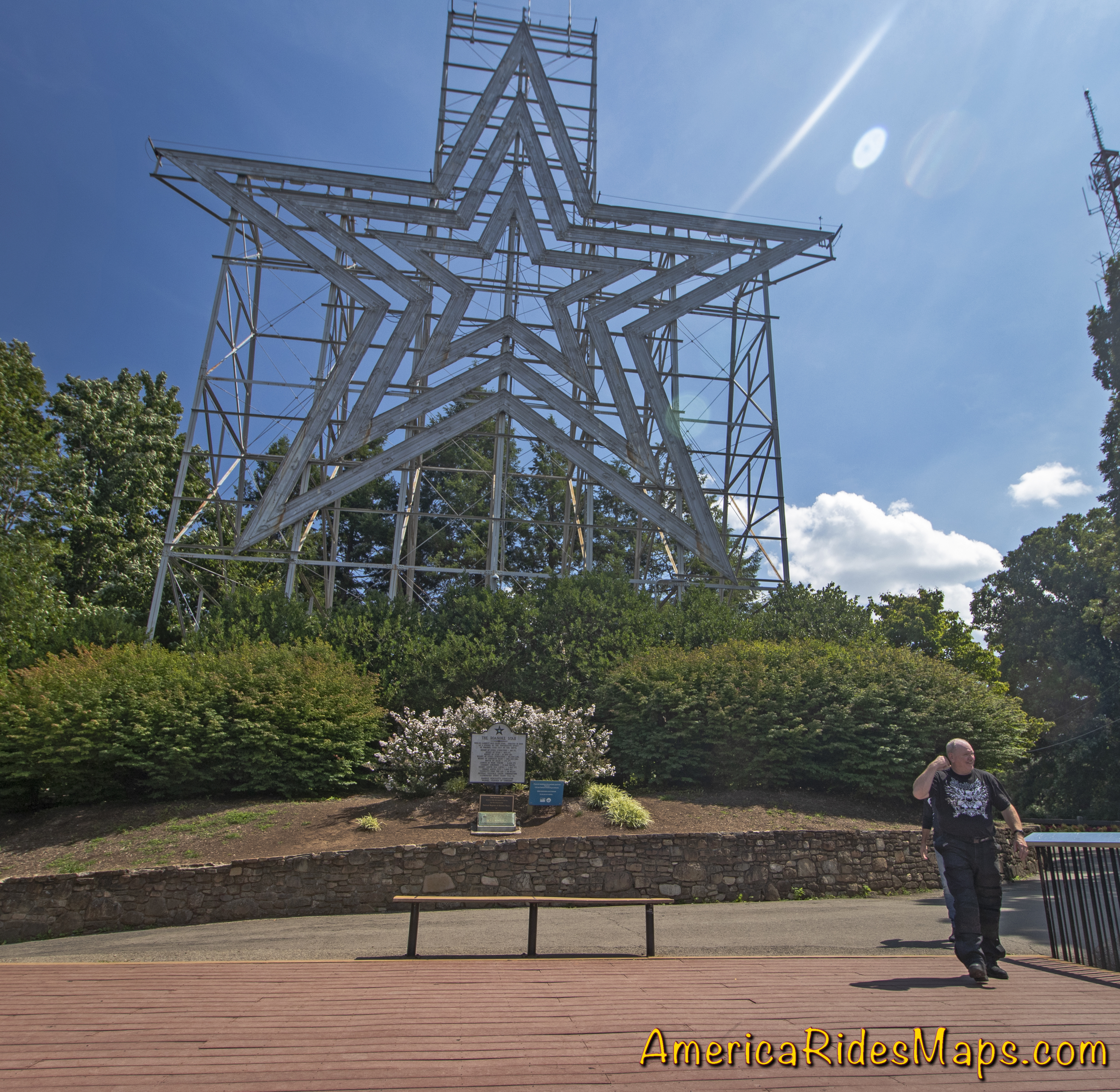
Mill Mountain is home to the famous Roanoke Star which looms above the city. You reach it via the Mill Mountain Parkway at Milepost 120.5. Mill Mountain Parkway is virtually identical to riding the Blue Ridge Parkway, gently curving and climbing to the spur road (Mill Mountain Spur, Prospect Rd SE) that leads to the park at the top. Just walk around the corner from the parking lot and you stand beneath the largest star in the world overlooking the city below.

Mill Mountain Star, Roanoke, VA

A zoo, gardens, and visitor center are nearby. It takes about 10 minutes to ride from the parkway to the star. Beyond the spur road, Mill Mountain Parkway becomes JP Fishburn Parkway leading into the city.

Mill Mountain View - Roanoke

Both of these attractions offer better views than you’ll find from the parkway as well as a unique experience.

Mill Mountain Sign

This area is detailed on America Rides Maps Map #2The Roads of Roanoke and Beyond


Wayne BuschAmerica Rides Maps

Wayne Busch searches out the most entertaining roads in the Blue Ridge Mountains then records them on a series of maps which span the Blue Ridge Mountains.

There are more great motorcycle roads in the Blue Ridge and Smoky Mountains than anywhere else. I highlight the best roads then show you the best ways to connect them together into rides. More than a decade of searching has discovered more than 1000 good roads to enjoy. We continue to search so you may enjoy.

Review the maps, order online hereAmericaRidesMaps.com

Source: America Rides Maps Blog @ Miles-byMotorcycle.com
https://miles-by-motorcycle.com/51999/blog/60608/two-blue-ridge-parkway-attractions-at-roanoke–va

Blue Ridge Motorcycle Touring – Natural Bridge, Virginia

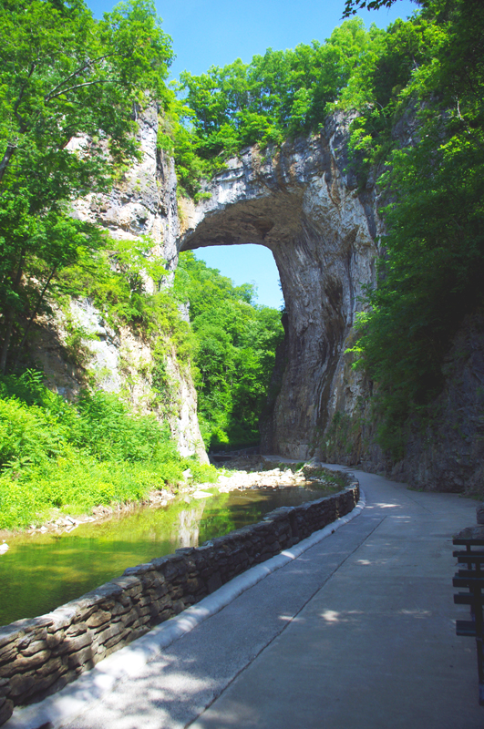
In general, I avoid the touristy sights on my motorcycle travels as I get my kicks from the road. It’s the hundreds of great motorcycle rides in the Blue Ridge and Smoky Mountains I most enjoy, and that is best done with the kickstand up and the throttle open. I need a pretty good reason to park the motorcycle and go for a walk, and Natural Bridge, Virginia, is worth time the time to stop and see.

Photo-Natural-Bridge-view

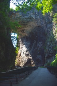
The Natural Bridge, a Viriginia landmark worth seeing.

Photo-Natural-Bridge-Hotel

The Natural Bridge Hotel, a historic landmark

Natural Bridge has been around for a long time. It was already a tourist destination when Thomas Jefferson visited. This 200 foot high natural arch started as a cavern millennia ago. Over the eons erosion collapsed the majority of it leaving only the dramatic and inspiring rock formation that has drawn thousands of spectators over the last few centuries.

Photo-Natural-Bridge-Entrance-and-Gift-Shop

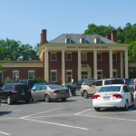
Natural Bridge Entrance and Gift Shop

This long history was part of the attraction for me. There are many early sketches and historic reports of the landmark displayed in the museum, it is part of our national heritage. This legacy though has come at the cost of commercialization of the natural attraction with manufactured ones added to woo the crowds and entice them to part with their dollars.

Photo-Cowboy-on-a-dinosaur

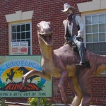
I managed to escape the Dinosaur Kingdom

We passed on the wax museum, the butterfly room, and most all the other man-made enhancements designed to lure the tourist. I was particularly amused by the hook for the “Escape from the Dinosaur Kingdom” with a statue of a cowboy riding a dinosaur. Easy to pass on that one, I’m quite satisfied with the Flintsone’s version of pre-history. Yabba-dabba dumb, but I’ll bet the kids like it as well as the Haunted Monster Museum.

Photo-Indian-village

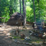
The Indian Village re-creation.

We did walk the trail to view the re-created native indian village, but it pales in comparison to the main attraction.

We paid $18 a piece for a ticket that gave us partial access to all the attractions. All we really wanted to see was the Natural Bridge. It’s a short walk and worth the time, and while I we could have seen all the other kitschy stuff, I felt my money well spent avoiding it.

A side trip to Natural Bridge, Virginia is an easy and pleasant ride from the Blue Ridge Parkway. Exit near the James River Visitor Center on US 501 (milepost 63.7) or VA 130  a couple miles north (milepost 61.6, and the better ride). Follow Us 501 / VA 130 to Glasgow, turning right on VA 130 to pass through the small town for another 4 miles or so. Don’t worry, you can’t miss it when you arrive.

Photo-Natural-Bridge-view

View of the other side of the Natural Bridge

Natural Bridge, Virginia

The Natural Bridge and other scenic attractions nearby are found on Map #1 of the 6 map Blue Ridge Parkway series of motorcycle pocket maps by America Rides Maps. Don’t miss all the great motorcycle rides in this area.

Image-map-cover

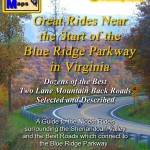
Great rides Near the Start of the Blue Ridge Parkway in Virginia

_______________________________________________________________________________

Wayne Busch
Wayne Busch – Cartographer
– Wayne Busch lives in Waynesville, NC, where he produces the most detailed and comprehensive and up-to-date motorcycle pocket maps of the Blue Ridge and Smoky Mountains to help you get the most of your vacation experience. See them here – AmericaRidesMaps.com 

Just Completed – Update to Blue Ridge Parkway Motorcycle Pocket Map #1

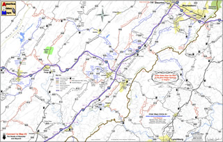
Image - Map Side

Map Side

I am proud to announce the release of the most recently updated America Rides Maps Motorcycle Pocket Map in the Blue Ridge Parkway Series – VA016; “Great Rides Near the Start of the Blue Ridge Parkway in Virginia“. It’s taken more than a month of working on it every spare minute to bring it into the new and improved format and incorporate more than 50 additional miles of great motorcycle rides in this region. It contains more than 40 roads which either cross, connect, or lie adjacent to the north end of the Blue Ridge Parkway with detailed info, descriptions of the rides, locations of gas stations and points of interest, and more.

While I’d hoped new cartographic software would speed production times, the process of conversion from simple graphic images to fully digital representations is as laborious and meticulous as before. The benefits are recognized in the ease of future updates as well as the improved clarity that is gained. As I’m constantly updating and improving all the maps, more than a dozen which cover the Smoky Mountains from north Georgia to north Virginia, the effort is worth it. There is nothing else like America Rides Maps motorcycle pocket maps, and best of all I’ve been able to improve the maps without increasing the price, already the lowest on the market.

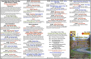
Image - Description of rides

Description of the rides on the back of each map

I’ve sold thousands of maps and get lots of thankful emails from customers. You love them. Here’s an email I got from a professional motorcycle tour guide, someone who covers thousand of miles in the region and knows it well –

“Your maps are truly awesome.  As you know I have also ridden many miles in NC and surrounding areas laying out our Tours for Blue Strada.  Just yesterday, I was studying your “Best Roads South of GSMNP East.”  You have done riders and drivers a huge service by pointing out all the important little details along the way… I love the Red & Blue definitions of Great and Good roads..  but just looking at gas stations.. and the waterfalls locations make these maps fantastic.  (In fact, I need to get the whole set for NC and GA).  Anyone coming here to ride without a guide could do no better than to get a set of your maps and just start studying the options… of which there are so many… and making their own Tour.  I’m going to send my motorcycle renters your direction in the future… they will be better off than trying to use my Tour maps… “

Bill Kniegge
www.bluestradatours.com
www.wheeljockey.com
POB 1336
Waxhaw, NC 28173
704 292 8801

Get the most out of your motorcycle vacation. Expand the horizons of your motorcycle tour. Discover the roads and sights others will never see. Whether you’re looking for the best shortcut or would prefer to take the long way around, these inexpensive, easy to use, fit in your pocket maps are the best thing going and I can get them to you in just a few days.

Wayne@americaridesmaps.com

http://americaridesmaps.comsee videos of the maps in use

www.bluestradatours.comexpert tours and motorcycle rentals

www.wheeljockey.comI love this gadget. It makes maintenance on the road a breeze.

_______________________________________________________________________________

Wayne Busch

Wayne Busch - Cartographer


– Wayne Busch lives in Waynesville, NC, where he produces the most detailed and comprehensive and up-to-date motorcycle pocket maps of the Blue Ridge and Smoky Mountains to help you get the most of your vacation experience. See them here – AmericaRidesMaps.com


Motorcycle Touring the Blue Ridge Parkway in One Day – What was it Like?

On Thursday I rode the Blue Ridge Parkway on my motorcycle from the start at Waynesboro, Virginia, 469 miles to the southern end at Great Smoky Mountains National Park in North Carolina. As I progressed I paused to snap photos and posted them on Facebook and Twitter. Here’s a recap of the experience;
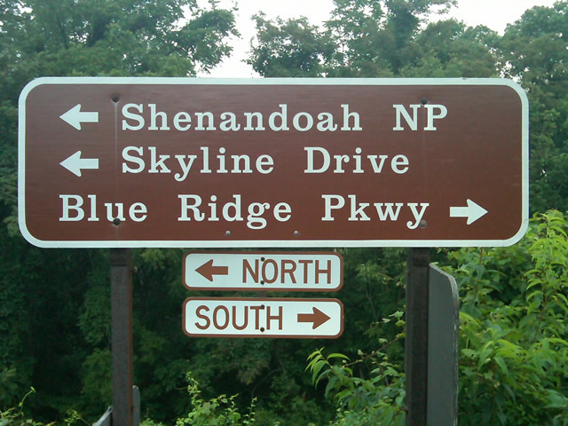
Photo - sign at start of Blue Ridge Parkway

The Blue Ridge Parkway starts where the Skyline Drive ends near Waynesboro, Virginia.

I chose to start at the north end as I knew I’d need to leave at daybreak. The morning fog has been so heavy at the southern end I didn’t want to chance it slowing me down or making for pictures of nothing but white mist. I spent the previous night in Richmond and left before 5 AM to make the 1 1/2 hour ride to Waynesboro in the darkness.
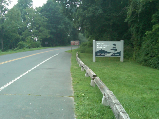
Photo - sign at the start of the Blue Ridge Parkway in Virginia

I took these photos the previous day as I expected it would be too dark to take them on the actual trip. I was right.

I fueled up in Waynesboro, grabbed a cup of coffee and a pack of doughnuts to sustain me, and headed on my way. It would be the last time I stopped to eat or drink. 469 miles is a long way at the 45 mph speed limit. I had no time to waste. At least that was my attitude early on.
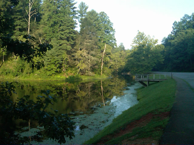
Photo - morning at the lake on Otter Creek

The sun comes up at the lake on Otter Creek. Easy ride so far.

I had the road to myself in the early morning twilight. Within a few minutes I’d seen both deer and turkey. The road starts a gradual climb to elevation here though nothing like the heights reached further south. With no other traffic on the road, my speed crept up a bit, something I’d fight the remainder of the trip. As you get comfortable and into the rhythm of the road, the temptation to take things at your more comfortable pace is always there taunting you. Knowing how far I had left to go didn’t help.
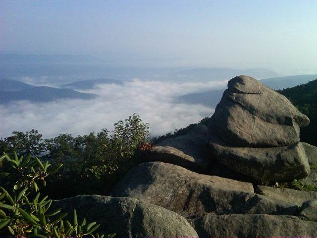
Photo - Above the clouds approaching Roanoke

I paused at this overlook to top up on oil, lube what was left of the chain, and take a few moments to savor the views I was rushing by.

I was also facing the challenge of not knowing if my chain would last the trip. It was already shot before I left, adjusted to the end of the swingarm, far beyond the normal limit. It now sagged precariously and was making noises that had me wondering when it would snap. I’d never seen a chain smoke when lubed before, and I took advantage of opportunities to slather it with lubricant whenever my concerns peaked. I prayed it would not jump the sprockets when carving through a turn and catapult me into a rock face or over a precipice.
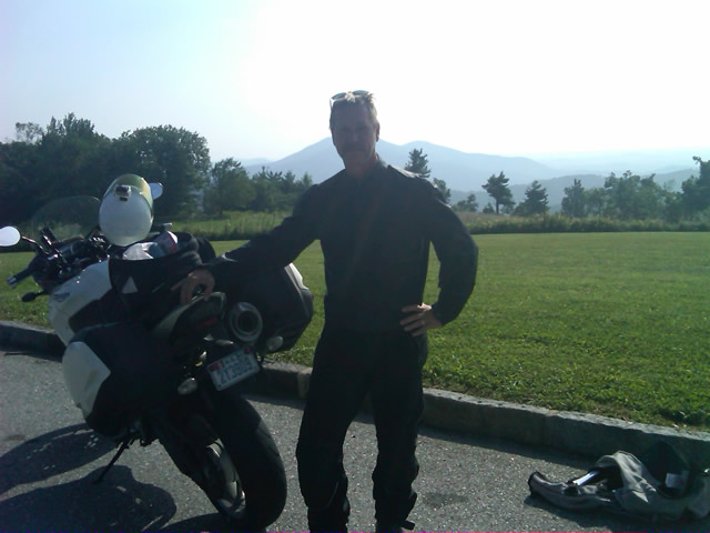
Photo - me and my bike along the Blue Ridge Parkway

A fellow biker snapped this photo of me at a rest stop. Riding from Florida to Maine and back, he and his wife were enjoying the parkway on their return.

Traffic remained surprisingly light through the morning with few holdups to pass slower vehicles. I watched the parkway wake up, the rangers and maintenance crews come to work and start their labors. Finding cell phone coverage to post my photos was always a challenge. You never know when it will be available, sometimes there in what looks like the most unlikely spots, other times absent where you think it should be a strong signal.
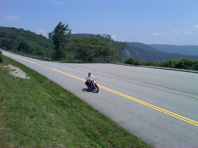
Photo - near Doughton Park

By mid morning there were plenty of other motorcycles on the road. This photo was taken somewhere near Doughton Park.

My first stop for gas necessitated a detour into Floyd, VA. Knowing where the nearest gas stations are is one reason I map the area so throughly. You can waste a lot of time looking for them if you don’t know which way to go. While in Floyd I popped in for a minute to see Derek at the Hotel Floyd, one of my favorite places to stay.
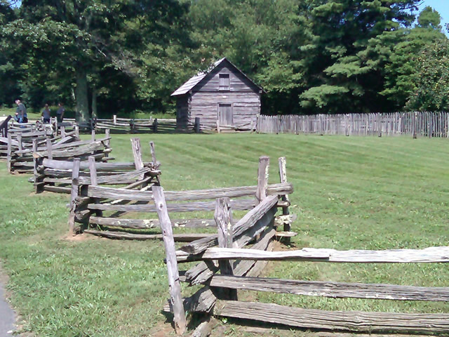
Photo - Historic cabin on the Blue Ridge Parkway

There are a few historic cabins along the road in southern Virginia.

As I crossed into North Carolina and entered the high mountains I knew cell phone coverage would be much more limited. The curves tightened up bit and the road was often wet from spotty showers. It would be another day with temps approaching near 100 in the valleys, but at elevation things remained tolerable so long as I was moving. I somehow avoided all but a slight peppering of rain which felt wonderful at the time.
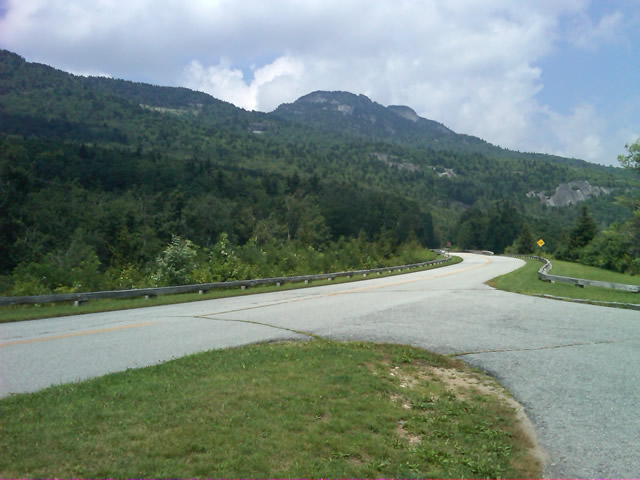
Photo - Grandfather Mountain

Passing Grandfather Mountain I felt I was back on home turf though still a long, long way to go.

Delays had been brief so far, and I planned my next fuel stop to coincide with a quick stop to say hello at the Switzerland Inn in Little Switzerland, one of my favorite places to eat or overnight. I fueled up in Spruce Pine. It was tempting to get a good meal, but I forced myself to press on. The real hold ups came as I approached Asheville. Tree crews and road construction caused significant delays and I hit the “commuter section” during evening rush hour.
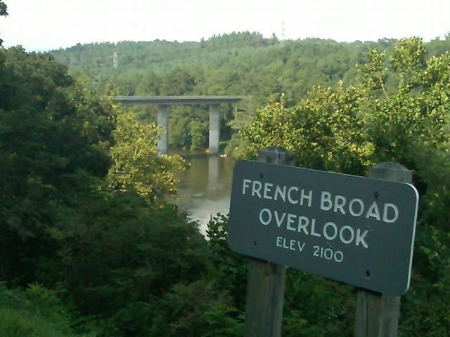
Photo - French Broad River Overlook

It was a great relief to finally cross the French Broad River southwest of Asheville and begin the climb to the highest and most scenic section of the Blue Ridge Parkway.

The sun was drawing near the horizon as I carved my way along the high ridge tops of the section of the Blue Ridge Parkway I consider my back yard. Thunderheads lurked and the road was wet in places, but my luck continued.
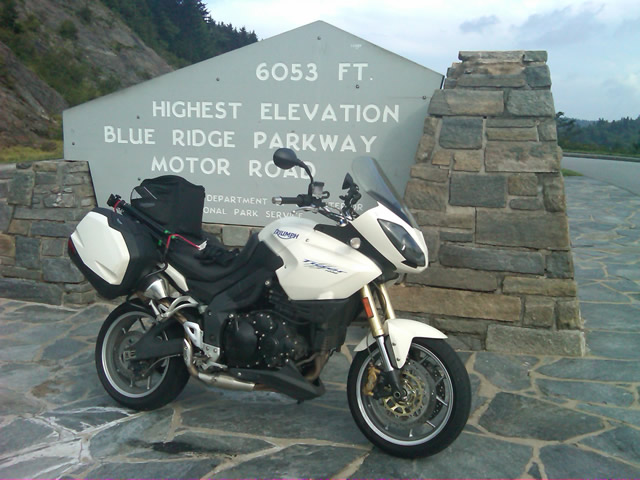
Photo - at the highest point on the Blue Ridge Parkway

Reaching the highest point on the Blue Ridge Parkway, I knew there was less than 40 miles to go to reach my goal.

I reached the southern end of the 469 mile ride with daylight to spare and took a pause at the Oconoluftee Visitor Center in Great Smoky Mountains National Park. I grabbed a few photos but found the battery was now dead on my cell phone. Here they are now –
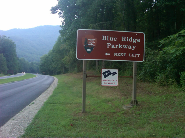
Photo - start of the Blue Ridge Parkway in North Carolina

The Southern end of the Blue Ridge Parkway near the Oconoluftee Visitor Center.

While my Blue Ridge Parkway in a day adventure was completed, I still needed to get home. Noting the evening traffic, I chose to avoid going into Cherokee and got back on the Blue Ridge Parkway now headed in the opposite direction. I rode through to Soco Gap, then passed through Maggie Valley to finally get to my home in Waynesville.
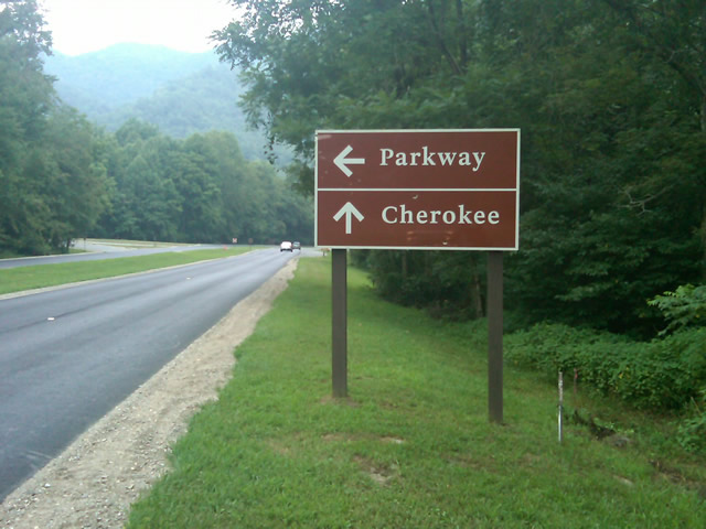
Photo - sign at the southern end of the Blue Ridge Parkway

Go through Cherokee or back the way I'd come? I chose to return home via the Blue Ridge Parkway of course.

My chain lasted the trip. My rear tire is bald. It’s time for some service on the engine. New parts are on order and it will take this week to get the bike roadworthy again. Next week? I might just poke into east Tennessee. I’ve too long ignored the area between Great Smoky Mountains National Park and Knoxville. If I can locate at least a dozen good rides there it will warrant a new motorcycle pocket map. I discovered some great roads along the Virginia / West Virginia border on this trip, several of which will be added to existing America Rides Maps. It will take a few more trips north to determine how the map of that region will lay out but it will come. For now, it’s catch up on the work I left, update the existing maps with the new rides I discovered, and make preparations for the roads ahead.

America Rides Maps on Facebook

America Rides Maps on Twitter

America Rides Maps – the best motorcycle pocket maps money can buy

_______________________________________________________________________________

Wayne Busch

Wayne Busch - Cartographer


– Wayne Busch lives in Waynesville, NC, where he produces the most detailed and comprehensive and up-to-date motorcycle pocket maps of the Blue Ridge and Smoky Mountains to help you get the most of your vacation experience. See them here – AmericaRidesMaps.com
 

Follow Me Thursday as I ride the Blue Ridge Parkway end-to-end in One Day

Image - Join Us on the Road to Adventure!

Follow my progress with hourly photo updates on Twitter and Facebook

To continue my celebration of mid-summer motorcycle madness, on Thursday I will get on the Blue Ridge Parkway in Waynesboro, Virginia, and ride it 469 miles through to the southern end at Great Smoky Mountains National Park near Cherokee, North Carolina.

As I go I will make hourly stops to tweet a photo and report on my progress so long as I have cell phone service.

Why not check my progress from time to time on Twitter – americaridesmap

and Facebook – facebook.com/americaridesmaps

I’m not trying to set a record or even establish a benchmark for someone to beat. The hourly stops will insure there is no record to speak of. Admittedly, it’s the worst way to experience the Blue Ridge Parkway, which should be done as slowly as possible with as many side trips as you can afford.

Still, curiosity has got the best of me, and I’ve never done it before nor heard of anyone doing it, so why not?

Follow along with me Thursday!

_______________________________________________________________________________

Wayne Busch

Wayne Busch - Cartographer


– Wayne Busch lives in Waynesville, NC, where he produces the most detailed and comprehensive and up-to-date motorcycle pocket maps of the Blue Ridge and Smoky Mountains to help you get the most of your vacation experience. See them here – AmericaRidesMaps.com
 

Home from Motorcycle Adventures in Virginia

Photo - Me at the pub at the Switzerland Inn

A cool brew at the pub at the Switzerland Inn last night. It was not the last of them.

We’re back from our brief three day trip north on the Blue Ridge Parkway. It was a semi-working trip in that Jackie tagged along. That changes the focus and the daily plans dramatically from my usual road-warrior approach. Even so, we accomplished a lot and I have a ton of new information to pass along.

I’ll get to it little by little as I now must catch up on the things left unattended. We added almost 50 miles of new roads to one of the maps (and I still have a few new motorcycle rides to go back and check into). I got a firsthand look at the construction and cleanup work on the Blue Ridge Parkway through North Carolina and Virginia and there’s some great news to relate. We found a wonderful place to stay in Virginia, the Hotel Floyd. I picked up a lot of new info to add to the maps. We found ourselves at the Switzerland Inn more than once and loved every minute of it. I shot a load of video to go through.

We braved the heat, wore out a tire, fought with the electronics, lost a headlight, dealt with a minor crisis at home, and generally had a great adventure. It will be the last with Jackie for a while as she returns to start a new job. I returned home to find the new printer on a pallet in the back of my truck (thanks Mom). It’s larger than expected and I’m not sure I can lift it. Office redesign and build new furniture ASAP.

So many things to do I’m making a list to prioritize. #1, take a few hours down time.

_______________________________________________________________________________

Wayne Busch

Wayne Busch - Cartographer


– Wayne Busch lives in Waynesville, NC, where he produces the most detailed and comprehensive and up-to-date motorcycle pocket maps of the Blue Ridge and Smoky Mountains to help you get the most of your vacation experience. See them here – AmericaRidesMaps.com
 

Motorcycle Friendly – The Shady Valley Country Store at The Snake

There’s a reason my wife rarely tags along with me while I’m out working from my motorcycle – I only stop for two things, one is fuel. The other can be remedied at any clump of shrubbery. Rarely do I ever stop to eat, drink, or grab photos. It’s all about covering the miles. Those creature comforts can wait until I retire for the evening when darkness makes any further progress futile. I think that’s about to change and one of the first places I’m going to visit is the Shady Valley Country Store the home of “The Snake”.

Photo - Shady Valley Country store

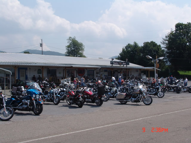
Shady Valley Country Store serves thousands of motorcycles weekly who come to ride "The Snake" and surrounding roads.

Located at the junction of NC 133, NC 91 and US 421 (a.k.a. “The Snake”), the Shady Valley Country Store is at the hub of some of the best motorcycle rides found in the Smoky Mountains where North Carolina, Virginia and Tennessee meet. Serving thousands of motorcycles every week, it provides a convenient fuel stop with regular as well as premium “Snake Venom” for your thirsty motorcycle. I’m told the 1/2 lb. black angus burgers, the thick bologna sandwiches and great chili dogs will keep you going full speed as well.

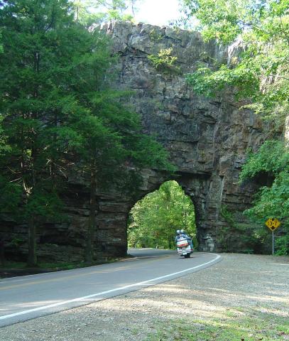
Backbone Rock on TN/NC 133

Backbone Rock on TN/NC 133 not far from the Shady Valley Country Store

I’ve blasted past the Shady Valley Country Store enough times. Next time I’m up there I’m stopping in to check it out, maybe get me a T-shirt or some other Snake memorabilia. Expect to get a first hand report ASAP.

The Shady Valley Country Store

Motorcycle the Blue Ridge Parkway – Sights from the Road – Mabry Mill

Photo - Mabry Mill on the Blue Ridge Parkway

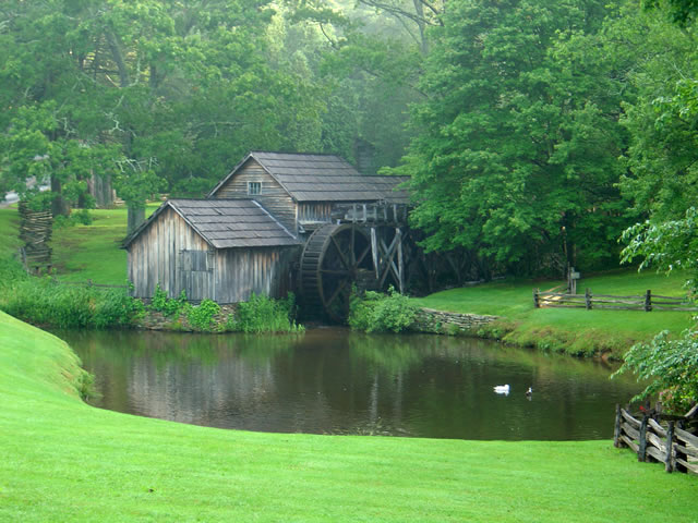
Mabry Mill – One of the most photographed sights on the Blue Ridge Parkway

One of the most popular and photographed sights on the Blue Ridge Parkway is Mabry Mill. It’s located at milepost 176 in Virginia near Meadows of Dan. Whether you’re motorcycle touring or just cruising along in your car, it’s hard to resist pulling in for a photo and a closer look (and maybe a pancake).

The mill is one of the buildings the National Park Service felt represented the character they wished to portray in their interpretation of Appalachian life and culture. It started as a blacksmith shop, then became a sawmill, then evolved into a grist mill, though it included a lathe, a planer and a jig saw so the versatile Mr. Mabry could maximize it’s use and success.

The mill has been restored and maintained and is still used for occasional demonstrations of it’s workings. The stone ground cornmeal, buckwheat flour, and grits can be enjoyed at the nearby restaurant as pancakes, biscuits, and cakes, along with preserves and country ham from the surrounding area (plan a breakfast here, but come early).

Contrary to what the Park Service originally portrayed about the “isolation and remoteness “ of these “mountain people”, there were thriving communities surrounding the area – a mill does not last long in the middle of nothing. The area surrounding the Blue Ridge Parkway in this section of southern Virginia is laced with an amazing number of fabulous two lane motorcycle rides through historic and scenic countryside. Don’t be afraid to get off the parkway on your motorcycle and enjoy some of these great motorcycle rides.


Wayne Busch - AMERICA RIDES MAPS

Wayne Busch – AMERICA RIDES MAPS

America Rides Maps

Notes from the Road – Eateries, The Hardware Co., Hillsville, VA

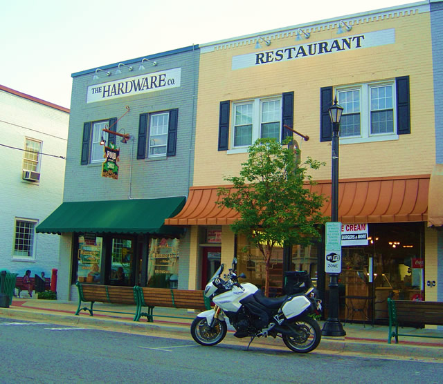
Photo - The Hardware Co. Restaurant, Hillsville, Virginia

Photo - The Hardware Co. Restaurant, Hillsville, Virginia

As I’m out on the road doing the explorations for America Rides motorcycle maps, I try to find good places I can recommend. I visited this one several times and think it’s one you’ll like to visit on your motorcycle vacation. It’s 10 minutes more or less from the Blue Ridge Parkway on VA 52 from the Fancy Gap exit in the southern Virginia town of Hillsville.

While there is a historic section in Hillsville where this restaurant serves as a centerpiece, the town spreads along the main roads which all come together in the small town, including Interstate 77 and US 221. I found myself staying here on several occasions as there are a large number of motels near the Interstate. It makes for a good place to not only lay over on a Blue Ridge Parkway vacation trip, but also to tour the surprising number of great motorcycle rides which course through the surrounding countryside. It became the hub for one of my most extensive maps.

The restaurant resides in a building which was originally a hardware company, hence the name.The food is good, sometimes great. I’ve always enjoyed my meal, a fine compliment to the great rides that lead you here. There’s a nice pub to get a cool one and live music on some evenings. If you’re passing through on a warm day or just looking for a treat, right next door is an old time soda fountain where you can get some pretty darned good ice cream and sodas.

You can check them out online at http://www.hardwarecompany.net/ . The street address is:

The Hardware Co. of Hillsville
508 North Main Street
Hillsville, VA
Telephone: 276-728-265
Email: info@hardwarecompany.net

True History – How The Blue Ridge Parkway Was Stolen

photo - view from Waterrock Knob, one of the highest sections in North Carolina

Morning clouds blanket the valleys in this view from Waterrock Knob in North Carolina

The concept of the Blue Ridge Parkway was to build a scenic connection between Shenandoah National Park in Virginia and Great Smoky Mountains National Park in North Carolina. Even before it was approved by Congress, controversy reigned over the route and clouded the possibility the nations favorite ride would ever be built.

There were strong proponents for building the scenic highway from three states – Virginia, North Carolina, and Tennessee. Originally, they more or less worked together to get the idea launched. Virginia’s route was fairly clear. It would course south from Shenandoah National Park following the highest ridges of the Smoky Mountains. The problem came on which way to go once the border with North Carolina was reached. Great Smoky Mountains National Park is divided right down the middle between Tennessee and North Carolina sharing equal portions in each state. In which state would the parkways southern end of this now classic ride reach Great Smoky Park?

Photo - a view of the Blue Ridge Parkway

Nothing in Tennessee can compare to the views from the North Carolina section of the Blue Ridge Parkway

Tennessee argued the route should be shared between the three states arriving on the north side of Great Smoky Mountains National Park about 40 miles south of Knoxville. North Carolina had different ideas, and a powerful lobby arose from the city of Asheville who wanted the road to pass near it. Reeling from the depression, Asheville felt it’s future relied on tourism and without the parkway, it would would not survive.

Two routes were laid out. North Carolina proposed following the highest passages through the tallest mountains in the east, a route which would not only maximize the views, but come right by Asheville. Tennessee chose a route further north which included both mountains and scenic valleys highlighting various features along the way. It would leave Asheville, the only city of size in the Carolina mountains, in isolation.

Right up to the last minute, it appeared the three state route would prevail. In the end though, it was the powerful and well connected proponents from Asheville who convinced the legislature to favor the route which avoided Tennessee entirely thereby stealing the road from Tennessee.

Riding the parkway it’s easy to see the right choice was made. The highest, most scenic and breathtaking views are found in the North Carolina sections both north and south of Asheville. What a different park we would have now had it been otherwise.