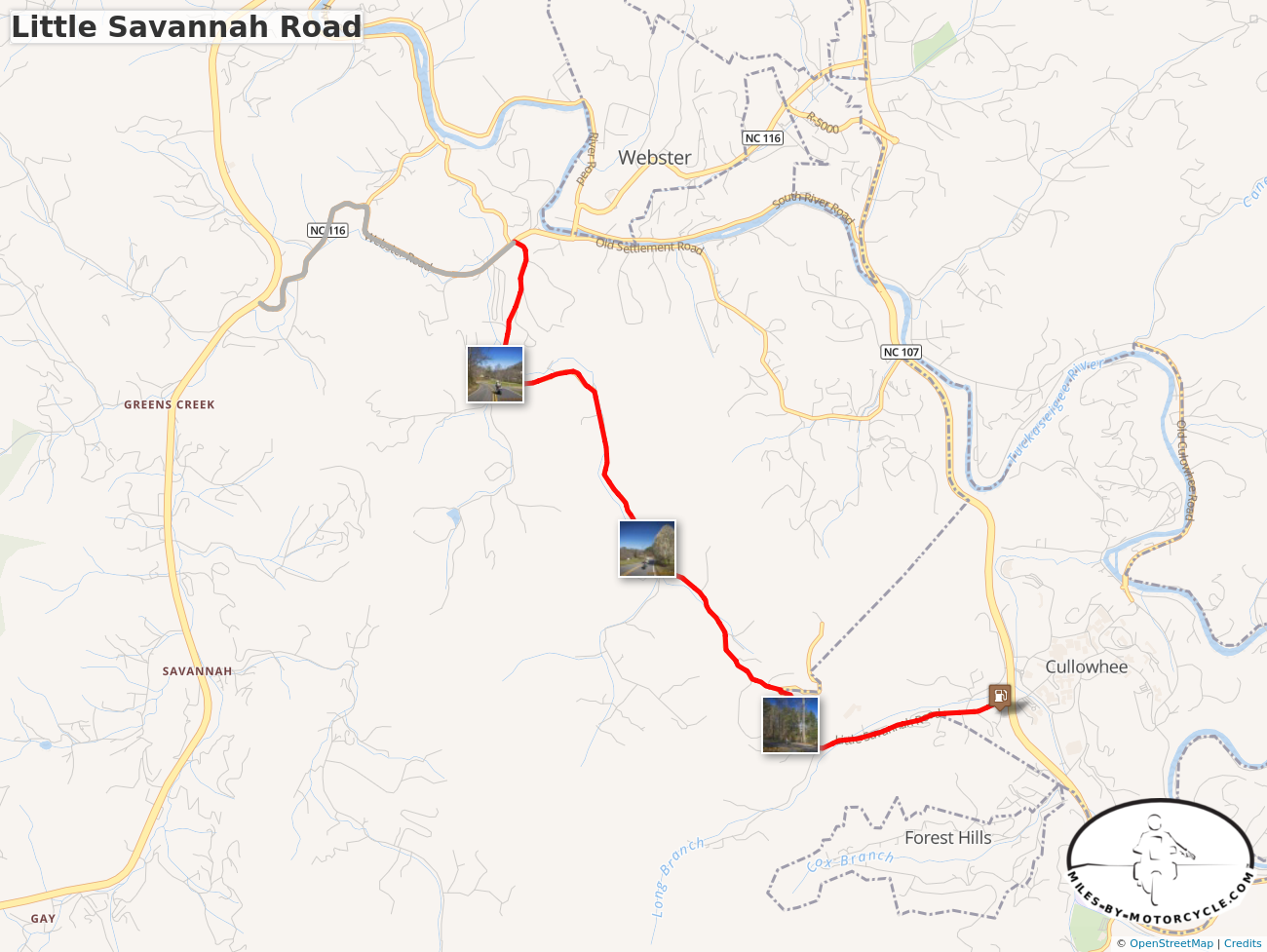
The last place I want to be riding a motorcycle is the 4-lane highway when there are so many good 2 lane back roads in North Carolina.
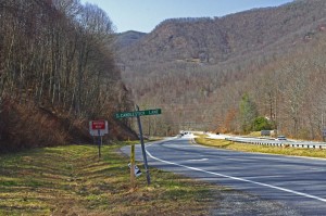
Turn off the highway onto Candlestick Lane
For most motorcycle riders, covering the distance between Waynesville and Sylva means a relatively pleasant ride on four lane divided NC Highway 74 (The Great Smoky Mountains Expressway). As far as highways go, it is a nice ride winding down from Balsam Mountain and it rarely gets enough traffic to be annoying.
Lately though, I’ve been covering the relatively short distance on a few nice little back roads which I’ve grown very fond of. Since so many motorcycle touring riders pass through and stay in this area, I think they should know about them. If you’re riding near Cherokee, Maggie Valley, Waynesville, or Sylva, these roads may come in handy.
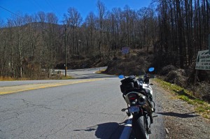
Next turn onto Cabin Flats Road.
Both ends meet the Highway (US 74). The Waynesville end starts near the Blue Ridge Parkway Exit for Waynesville (MP 443.1) where it intersects US 74. Pass under the parkway then exit left onto Candlestick Lane. It’s an obvious intersection, well marked, look for the signs to Balsam, Balsam Mountain Inn, Moonshine Creek Campground.
Candlestick Circle is just a short loop off the highway, turn right onto Cabin Flats Rd. Cabin Flats Road winds along the railroad tracks a short distance, then makes a hairpin turn across them. Balsam Mountain Inn sits on the hill above.
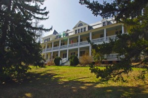
The Balsam Mountain Inn – historic, good food
It’s been a long while side I last visited, but the historic inn (1905) is both scenic and the food used to be very, very, good. You can imagine it’s heyday when it was a stop on the tracks in the middle of nowhere.
Cabin Flats Road will morph into Dark Ridge Road and start a twisting course alongside a stream through the mountain passes. The railroad also follows this narrow valley and you’ll often see it off in the woods crossing the stream on bridges and trestles.
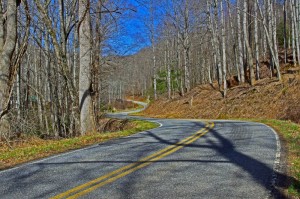
Dark Ridge Road – more fun than the 4 lane
Dark Ridge Road, the railroad, the highway, and the stream cross each other several times on the way to Sylva in a twisted mountain mess. You go under the highway, under the railroad, over the stream several times on the ride.
Dark Ridge Road meets Skyland Road at a stop sign just after you cross the railroad tracks. Turn left (the road quickly peters out if you go right).
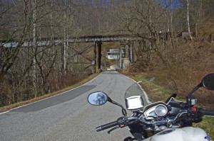
Under the tracks on Skyland Rd
The first part of Skyland Road is nice and there are several good spots to stop and get a look at the now rushing whitewater stream.
The second half looses it’s appeal as it draws near Sylva and the suburbs of the town. You can follow the road all the way into Sylva. You may note the prominent fork right onto Chipper Curve Rd – it will bring you closer to downtown.
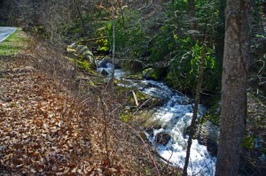
Whitewater Creek along Skyland Rd
You can hop on-off this ride at 2 points and get back on the highway. One of them is obvious, a mile or so after you get on Skyland Rd. The other, Steeple Road, is closer to Sylva and is the best way to get back on the highway without going into town. Precision Cycles and a BP station mark it at the highway.
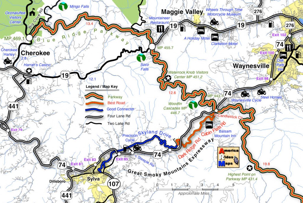
Click on photos and map for larger views
__________________________________________________________________

Wayne Busch – Cartographer

Learn Total Control
– Wayne Busch lives in Waynesville, NC, where he produces the most detailed and comprehensive and up-to-date motorcycle pocket maps of the Blue Ridge and Smoky Mountains to help you get the most of your vacation experience. See them here – AmericaRidesMaps.com
Wayne is an advanced motorcycle instructor for Total Rider Tech teaching Lee Parks Total Control Advanced Rider Courses. Isn’t it time you looked into advanced rider training to ride more confidently and safely? It can transform your mountain riding experience. Total Rider Tech
____________________________________________________________________


