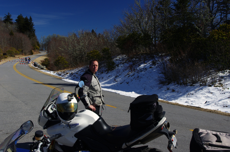
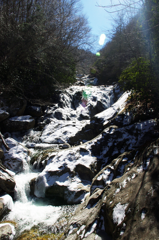
First Day of Winter – Let’s Ride the Blue Ridge Parkway!

So here it is, winter is officially upon us today and I spent the best of it on my motorcycle on the Blue Ridge Parkway.

I couldn’t stand it any longer. It was so warm when I took the dog out this morning I knew I was going to HAVE to get on the bike. The weatherman says rain is coming to the Smoky Mountains so I knew I’d need an early start.

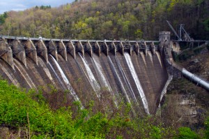
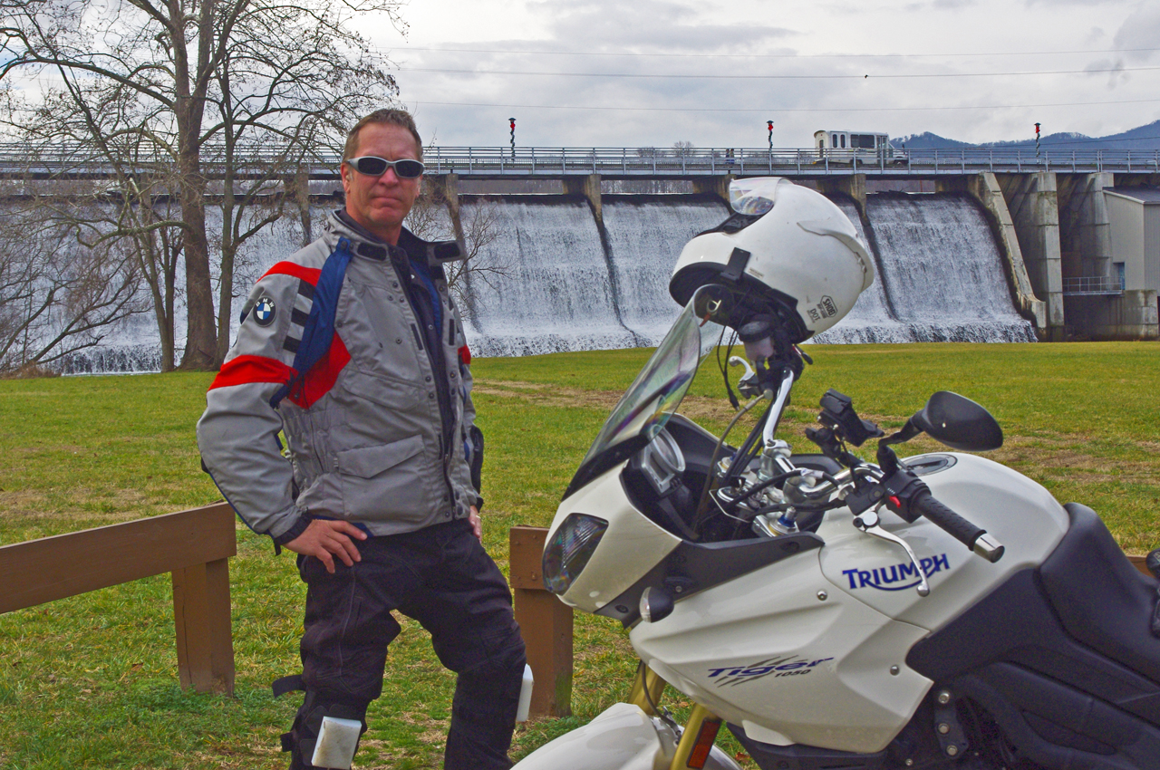
photo-wayne-at-lake-junaluska-dam

I would have settled for a nice short ride - (if you believe that, you don't know me very well)

“Just a short ride” I told my wife.

If nothing else I’d top up the near-empty tank and make a short spin of it. Thinking of someplace close I could get a photo, I headed to the dam at Lake Junaluska. Sure looked like rain was coming. Got my photo, then where?

It’s been so unusually warm lately, I decided to ride over to Maggie Valley and see if the Blue Ridge Parkway was open. Slim chance of it, but just maybe….

Photo-Wayne-celebrates-at Waterrock-Knob

Made it to Waterrock Knob! Enveloped in clouds, raining, but totally unexpected at this time of year. That would have been enough for most riders - it just goaded me to push on.

Passing the man made snow at Tony’s Tube World as I left the valley, I started to consider alternatives. If snow could linger down low, it would sure be too cold up high for the parkway to be open. If it wasn’t, I could always cruise over to Cherokee.

I turned onto the ramp to the Blue Ridge Parkway at Soco Gap, and sure enough, the gates towards Cherokee were closed when I reached the top. Oh well.
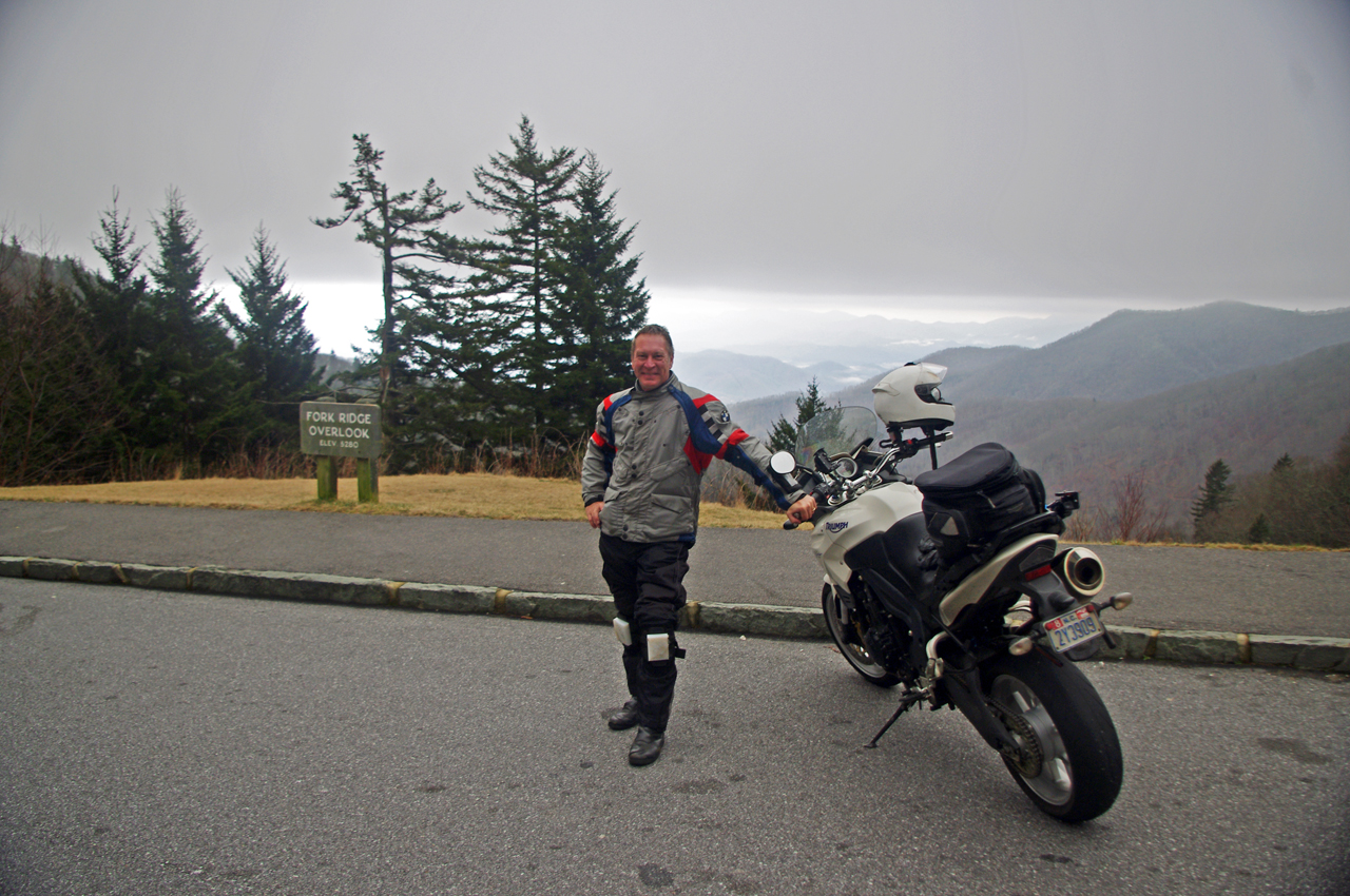
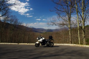
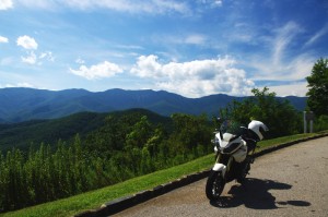
motorcycle-at-fork-ridge-overlook-1st-day-of-winter

I stopped for a photo when I came down to the mile-high Fork Ridge overlook. You can see the cloud ceiling a few hundred feet above me and the clouds in the valleys below.

As long as I was here, might as well ride over to see if the gates were closed heading south though the chances were even slimmer as the parkway climbs to some of the highest parts in that direction.

Surprise, surprise, the gates were open and I rolled on the throttle!

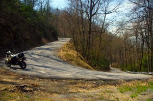
I didn’t think I’d get far, but I might at least get a photo from one of the lower overlooks. As I climbed, I came nearer and nearer to the cloud bank that socked in the mountain tops. Still, the road was clear.
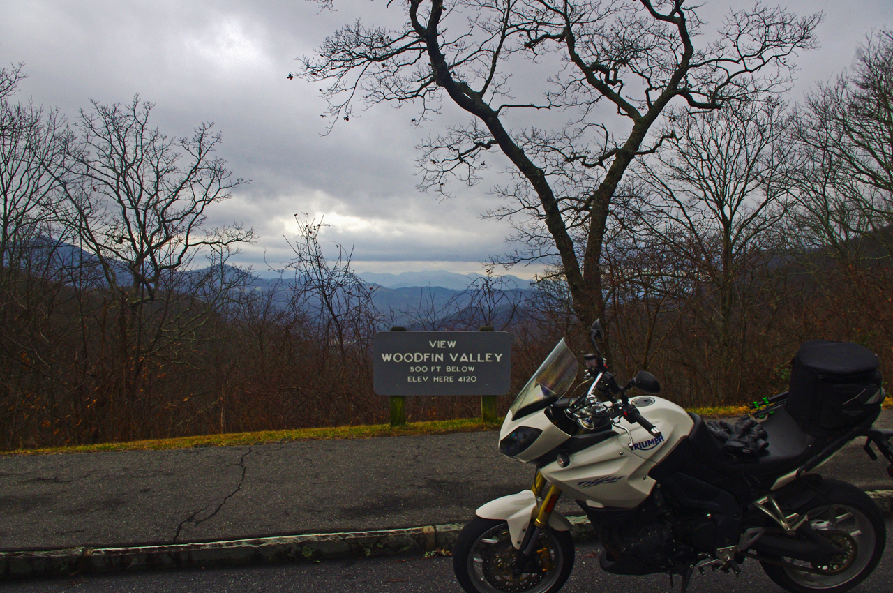
Photo-first-day-of-winter-on-blue-ridge-parkway

It was a good day for riding so long as you stayed down low. At 4000 feet, the Woodfin Valley overlook shows it's fine at the lower elevations. I couldn't resist going higher.

I was stoked when I reached Waterrock Knob. Totally enveloped in thick clouds and peppering light rain, I stopped for another photo. This was awesome and a rare occasion this far into the cold season.

I was happy as I continued towards the next exit at US 74 in Waynesville, dropping back below the ceiling of clouds and out of the rain.

I almost left the parkway at Waynesville (see my video of Waynesville), as the next section of the Blue Ridge Parkway leads to the highest point on the road. No way it would be open. Still, I was curious as to how far I would get and amazed to find the gates open as I crossed over the highway.
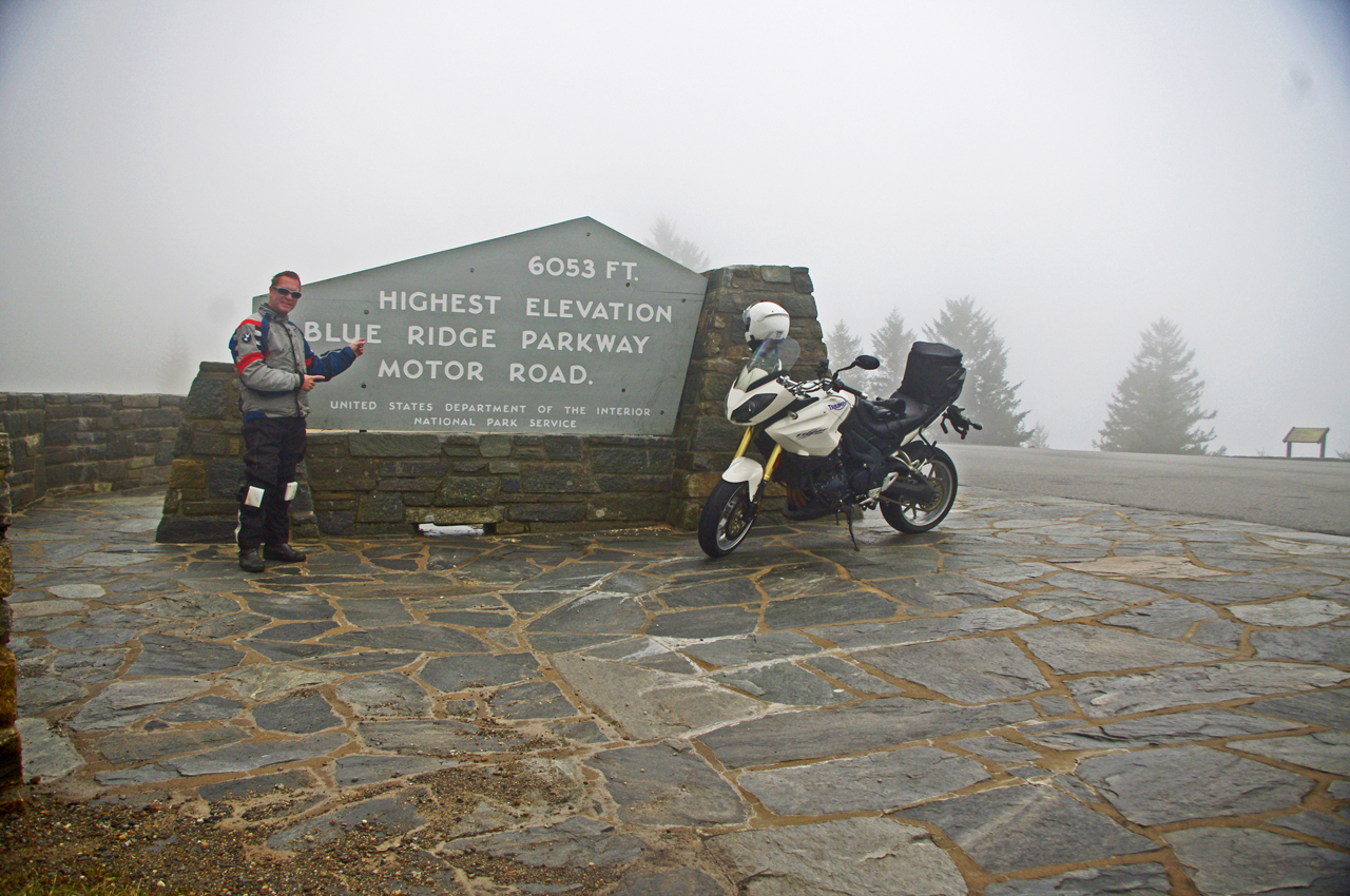
photo-wayne-rides-his-motorcycle-to-the highest-point-on-the-parkway

Can't believe it! I rode to the highest point on the Blue Ridge Parkway on the first day of winter. Same day last year we got a snow that covered the yard until well into march.

I began climbing again, and before long was back in the wet cloud bank. Except for a few stray cars, I had the road to myself and enjoyed it with enthusiasm.

It was windy and poor visibility when I reached the high point, but it was another unexpected treat. Took another photo to remember it by.

I rode the rest of the way to Beech Gap and NC 215 in heavy wet fog (here’s a wicked ride nearby). No views to speak of, and lots of rocks and debris from the small slides that occur where rocky faces run close to the road. Winter thaws and freezes cause a lot of little slides during this season but it’s not much of a problem as no one is there to be affected by them.
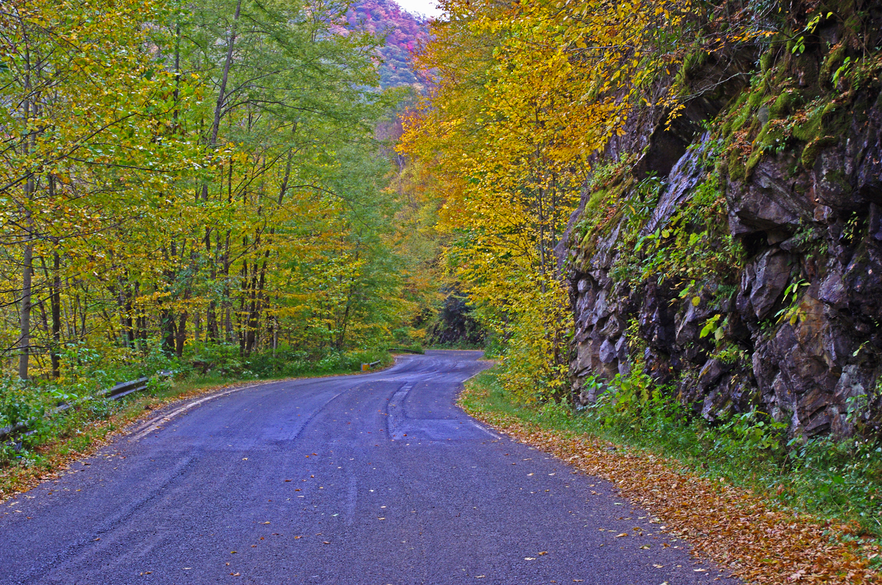
photo-fall-on-nc215-great-motorcycle-ride

Road condition has improved marginally since this fall photo of NC 215 following the resurfacing. Still plenty of loose gravel and slippery corners to negotiate. Not for the faint-of-heart. It will improve, but how much?

The ride home via NC 215 (see my video of NC 215)is unchanged from my last visit – the road is till a mess. If riding sharp turns on loose gravel isn’t your thing, you will want to avoid it a while longer until things clean up.

Same day last year, we got snow so deep it laid in my yard for 3 months. This year I’m riding. I think I like this year better!

_______________________________________________________________________________

Wayne Busch

Wayne Busch - Cartographer

Total Rider Tech Logo

Learn Total Control

– Wayne Busch lives in Waynesville, NC, where he produces the most detailed and comprehensive and up-to-date motorcycle pocket maps of the Blue Ridge and Smoky Mountains to help you get the most of your vacation experience. See them here – AmericaRidesMaps.com

Wayne is an advanced motorcycle instructor for Total Rider Tech teaching Lee Parks Total Control Advanced Rider Courses. It’s time you looked into advanced rider training to ride more confidently and safely, it will change your mountain riding experience. It worked so well for me I became an instructor! Total Rider Tech

_______________________________________________________________________________

Not Good Enough for 100 Smoky Mountain Motorcycle Rides

I’ve just released a map of the Smoky Mountains which shows nearly 200 motorcycle rides highlighted on it. Here’s one that won’t be on it, not good enough.

Photo-Grapevine-rd

A long section of bad pavement gives way to some great curves.

Yesterday, Jackie and I hopped on the bikes to follow up on a rumor of yet another good motorcycle ride tucked away in the mountains. Possibilities were high as the area northeast of Hot Springs, NC, is ripe with some of the most challenging and technical motorcycle rides you’ll find anywhere. The two lane roads that wind through these Tennessee mountains hug the edges of rushing creeks which snake the bottoms of shady valleys or carve steep steps through gaps and passes.

This is no place for the faint of heart nor the inexperienced motorcycle rider, though by the time you reach it those riders who won’t accept the challenge have already turned tail and run. Roads like NC 209, NC 208 probably give most riders as much thrill as they want. Only the adventurous consider these approaching roads just a warm-up and look to kick the ride up a notch with more challenging pavement.

photo-grapevine-rd

There are some very nice sections of Grapevine Rd, but overall, NOT GOOD ENOUGH!

I remembered Grapevine Road as soon as I turned on it. I’d been told by a couple people they thought it was a great motorcycle ride, but for some reason I couldn’t remember I’d not put it on one of my maps. I quickly figured out why.

The pavement was in such bad shape. Broken and potholed, sunken, bumpy, strewn with gravel, rocks, and loose asphalt. Add to that steep grades, devilish tight switchbacks, unforgiving drop-offs, and you’ve got a real handful, especially on a big bike.

The reason I’d come back to Grapevine Road is the last time, I made a quick judgment and turned around. Not having gone all the way through, I didn’t know how far until the pavement improved. I knew it had to get better as it approached more civilized areas to the south.

photo-jackie-thumbs-down

Jackie votes "thumbs down" on Grapevine Rd.

It was a long ride until the pavement smoothed out. Once it did, there was a decent section with some nice curves which become more sweeping and open, but little of scenic appeal.

Some may like this road, but there are so many better ones nearby, it’s the least appealing. Jackie gave it the “thumbs down”. No reason to recommend Grapevine Road.

_______________________________________________________________________________

Wayne Busch

Wayne Busch - Cartographer

Total Rider Tech Logo

Learn Total Control

– Wayne Busch lives in Waynesville, NC, where he produces the most detailed and comprehensive and up-to-date motorcycle pocket maps of the Blue Ridge and Smoky Mountains to help you get the most of your vacation experience. See them here – AmericaRidesMaps.com

Wayne is an advanced motorcycle instructor for Total Rider Tech teaching Lee Parks Total Control Advanced Rider Courses. It’s time you looked into advanced rider training to ride more confidently and safely, it will change your mountain riding experience. It worked so well for me I became an instructor! Total Rider Tech

_______________________________________________________________________________
See the map “Best Motorcycle Rides of the Smoky Mountains

Motorcycle Riders Enjoying Blue Ridge Parkway Fall Color

This year, I spent the peak of the leaf season riding my motorcycle on the Blue Ridge Parkway. I photographed the scenery and captured other riders on their motorcycle vacation as they roared past. I selected some of the better ones and a few video clips to share memories with those of you who made it this year and to show those of you who are coming next what they’ve missed out on.

Watch on YouTube http://youtu.be/fQEqdbrt1fI

_______________________________________________________________________________

Wayne Busch

Wayne Busch - Cartographer

Total Rider Tech Logo

Learn Total Control

– Wayne Busch lives in Waynesville, NC, where he produces the most detailed and comprehensive and up-to-date motorcycle pocket maps of the Blue Ridge and Smoky Mountains to help you get the most of your vacation experience. See them here – AmericaRidesMaps.com

Wayne is an advanced motorcycle instructor for Total Rider Tech teaching Lee Parks Total Control Advanced Rider Courses. It’s time you looked into advanced rider training to ride more confidently and safely, it will change your mountain riding experience. It worked so well for me I became an instructor! Total Rider Tech

_______________________________________________________________________________

Why so many great motorcycles rides in the Blue Ridge & Smoky Mountains?

Why are there so many great motorcycle rides in the mountains of the southeast? It’s a combination of geography, history and climate.

photo-black-mountains

One of my favorite Blue Ridge Parkway overlooks of the Black Mountain Range - highest in the east.

Geographically, the Blue Ridge and Smoky Mountains are very, very, old. Over the eons of time mountains once taller than Everest have weathered, eroded, and subsided to where their heights never much exceed 6000 feet in elevation. Compared to the lofty Rocky mountains in the midwest and the great Sierra Range on the far coast, those in the east are half the size.

While those western mountains soar to dramatic heights, it’s not without a cost. The lower elevations of the Blue Ridge Mountains make them accessible in every season. The softer, gentler topography of the mountains of the east makes building and maintaining roads to connect the valleys and towns more feasible.

photo-penland-post-office

Post office, Penland, NC - the Blue Ridge Mountains are rich with historic sights waiting to be discovered on your rides

History favors the mountains of the east as well. Settlement of our country began on the east coast and gradually moved inward as the population grew. Hill by hill, valley by valley, one small settlement at a time, the trails leading to them became the roads we now enjoy. More people, more time, more roads to connect them all together.

Finally there’s the climate, which is heavily influenced by altitude. The mild wet climate of the east promotes the growth of the dense forests and makes growing crops and farming much easier. The high dry desert climate of the west holds sparse vegetation, harsh conditions, and long cold winters.

Photo - morning on the Cherohala Skway

View from the Cherohala Skyway in early March - mild climate means year round riding in the Blue Ridge Mountains

Life gets even tougher as you go up into the high mountains of the west. Crops can’t grow at the extreme elevations, and were it not for mining and timber, those vast western mountains would be even less populated than they are now. Fewer people means fewer roads in general, and building and maintaing those that pass through the high places is much more difficult and costly.

Finally, the development of the Interstate Highway system works to favor of the high quality of the motorcycle rides in the east.  As more people used them to move into the west, the fewer local roads and passes there became more crowded. More people on fewer roads, many of which open for only part of the year, means more congestion and traffic in the west.

Photo-Charlies-Creek-Rd

Charlie's Creek Rd - typical of the wonderfully empty and inviting rides that abound in the Smokies

In the Blue Ridge and Smoky Mountains, when the traffic moved to the Interstate Highways, it relieved the pressure on the back roads. One of the greatest pleasures of riding a motorcycle in the Blue Ridge Mountains is the absence of traffic. The selection of two lane, empty, winding roads through beautifully scenic and historic places just never seems to end.

Recently back from my motorcycle touring in the mountains of California, then Colorado, my appreciation for the bounty of great motorcycle rides in the Smoky and Blue Ridge Mountains is refreshed. While I loved the dramatic change of scenery, the vast distances and scale of things to the west, one thing became crystal clear –

Photo-motorcycles-on-parkway

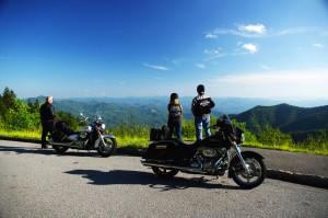
Bikers pause to admire the stunning views in the Smoky Mountains

Out west, you are on a mountain. It’s a harsher, more extreme landscape, you are a temporary interloper. In the Blue Ridge and Smoky Mountains, you are in the mountains. They cradle and surround you, it’s a comfortable and welcoming environment.

I enjoy my travels and motorcycle rides in other places, but there is simply nothing which comes close to the quality and quantity of outstanding motorcycle rides right in my back yard. While lots of bikers pay a visit, I doubt they much scratch the surface of the gold mine of motorcycle riding that exists here. I know, I’ve mapped hundreds of these great motorcycle rides, thousands of miles of two lane twisties, it’s what I do for a living.

Photo-motorcycles-on-the-dragon

Some roads, like the Dragon at Deals Gap are well known - a wealth of others await your discovery!

Half the population of the US lives within a days ride of the Blue Ridge and Smoky Mountains. It’s an easy trip to get here. It’s affordable and convenient. The motorcycle rides are beautiful, scenic, challenging, and the mountains are full of roads that thrill the motorcycle rider, more than can be visited in a season, let alone a single motorcycle vacation tour.

I’ve said it before, and continue to preach – “There are more great motorcycle rides in the Blue Ridge and Smoky Mountains than anywhere else”.  

Why not start planning your motorcycle trip right now?

Still need convincing? Visit www.AmericaRidesMaps.com to see just how many great roads there are waiting for you!

_______________________________________________________________________________

Wayne Busch

Wayne Busch - Cartographer

Total Rider Tech Logo

Learn Total Control

– Wayne Busch lives in Waynesville, NC, where he produces the most detailed and comprehensive and up-to-date motorcycle pocket maps of the Blue Ridge and Smoky Mountains to help you get the most of your vacation experience. See them here – AmericaRidesMaps.com

Wayne is an advanced motorcycle instructor for Total Rider Tech teaching Lee Parks Total Control Advanced Rider Courses. It’s time you looked into advanced rider training to ride more confidently and safely, it will change your mountain riding experience. It worked so well for me I became an instructor! Total Rider Tech

_______________________________________________________________________________
Colorado Mtn vs. Blue Ridge Mtn Motorcycle Rides

Photo-Denver

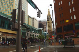
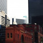
We based out of Denver. We spent the first afternoon in the city.

After almost 1000 miles in central California and nearly 850 miles in the beautiful mountains of Colorado I still say with confidence “There are more great motorcycle rides in the Blue Ridge & Smoky Mountains then anywhere else”.

I’ve been riding some fantastic scenic and challenging roads. I’ve loved every minute of it. I’d do it all over again (and probably will). There are some awesome motorcycle rides out there.

Still, when you compare them region by region based on quality, quantity, and concentration, I’ve yet to find anywhere that comes close to the great motorcycle rides in the mountains of the southeast.

Photo-Independence-Pass

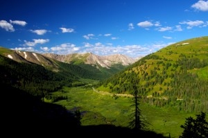
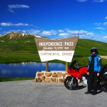
Independence Pass - the best portion of the 150+ miles between Leadville and Aspen

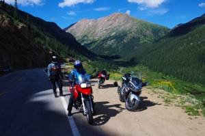
Fond memories of this Colorado trip are many. Were I to pick the most outstanding of them I’ve experienced I’d have to steer you first to Independence Pass which runs between Leadville and Aspen. It was so good I talked my partners into riding it twice.

Independence Pass is a good long motorcycle ride, 30 – 35 miles. The climb from one side of the divide to the other reaches over 12000 feet in elevation, twice the height you’ll find in the Smokies. Heck, in most cases you’re already higher than the Smoky Mountains from wherever you start a Colorado mountain motorcycle ride.

However, those extreme altitudes come with blessings and costs.

Photo-independence-pass

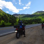
One of the most dramatic landscapes and toughest rides - Independence Pass

The blessings are many. One of the first things I noted was how clear the Rocky Mountain air is. Accustomed to the blue hazy skies that give the Smoky Mountains their name, the crisp Colorado air is like getting a new pair of glasses – you’re suddenly amazed at how much sharper and vibrant the world appears.

When you’re atop such lofty heights, that clear dry air and deep blue Colorado skies brings a sharp contrast and definition to every vista. I kept thinking it’s impossible to take a bad picture in the mountains of Colorado, it’s so dramatic!

Photo-trail-ridge-road

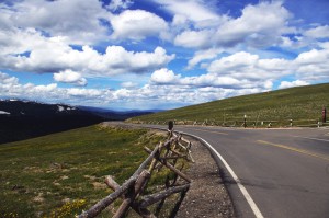
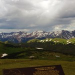
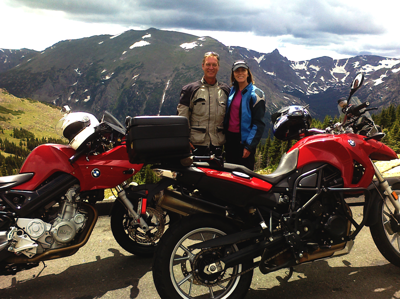
A break on one of the highest paved roads in the nation - Trail Ridge Road in Rocky Mountains National Park

Those high elevations also provide such commanding views, I’m sure you can see more than 100 miles from some points.

The landscape is dramatic. Imposing at times, stark at others, it’s a land of harsh extremes of searing heat and brutal winters, desolate isolation and hardscrabble existence.

Riding a motorcycle through such a rugged landscape at those elevations though, comes with a price.

The higher you go, the worse the road conditions get. Patches of snow in August hint at how harsh the conditions are. These roads are isolated and remote, and the season for repairs is short. You’re in for some rugged riding and a challenge to tackle at speed on a motorcycle.

Phot0-Leadville

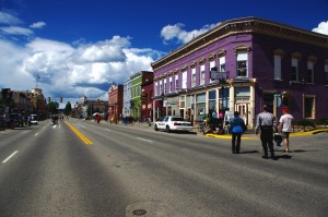
Leadville, CO - elevation 10,200 ft. It might have been the capitol of Colorado had the silver lasted.

The massive scale of the great mountains add to the challenge. Riding a narrow twisty bumpy dirty road with no guardrail and a sheer drop off the edge can be intimidating. Jackie spent the harrowing parts riding in the wrong lane if it hugged the cliff face.

All of the high roads are gated. They are closed to traffic most of the year as they are impassable. The season to enjoy them is short, and you won’t be the only one taking advantage of the narrow window of opportunity. Plan on running into local and tourist traffic, especially on weekends.

photo-trail-ridge-rd

Trail Ridge Road view nearly 12,000 ft. up.

Like in California, these mountain passes stand in isolation. It’s a vast landscape and the distance between roads is just as vast. You’ll spend as much time or more on long straight flat runs across the open prairie getting to the next great motorcycle ride.

I can appreciate the beauty of the high desert, the loneliness of the historic small towns,  the weathered remnants of a cowboy / miner history that dot the landscape even as you scream along with an open throttle to cover the distance, but any fool can twist a wrist into the triple digits in a straight line.

photo-eleven-mile

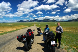
Near Eleven Mile - one long, rough, straight road across the prairie

Too soon, those rides between the rides become commutes for me, and I long to use anything but the center stripe of my tire rubber. I’m happiest the closer I get to the edge of my tires.

When it comes to non-stop curvy and scenic roads, you just can’t beat the motorcycle rides in the Blue Ridge and Smoky Mountains.

TRIP LOG:

Tuesday:

photo-water-tower

Historic Lodo in Denver - roof top water tank

We flew into Denver Tuesday and spent the afternoon in the historic Lodo section.

Rich in Victorian architecture, it’s the happening place within the great city.

photo-Denver

Old meets new in the city

First stop was a brewery, and once our tanks were full, we spent the evening walking around and taking in the sights.

Wednesday:

We spent the morning doing some hiking near Evergreen.

photo-3-sisters

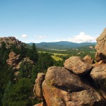
View atop 3 Sisters

I had fun scrambling to the top of one of the 3 Sisters rock formations.

photo-elk-calf

Young elk

Early in the hike, we rounded a bend to find a huge heard of elk bedded down along the trail.

We picked up the bikes late in the afternoon, and made loose plans for the next few days of riding.

Thursday:

We decided to make it a day ride.

photo-trail-ridge-rd

Sleet and a few flakes up high

The first of the twisty roads was Bear Creek Canyon. Nice, but traffic tempered true enjoyment.

We then followed Clear Creek Canyon Rd and the Peak to Peak Highway to Estes Park.

photo-gas-station

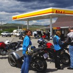
Break just past the middle of nowhere

Entering Rocky Mountains National Park, we cruised Trail Ridge Road.

Turning south, we followed 40 to Winter Park and took our lunch break.

We returned via Berthoud Pass  to the Interstate and made one more pass through Bear Creek Canyon on our way in.

Friday:

We loaded up the bikes for an overnight trip to Aspen and got an early start.

Photo-rampart-range-rd

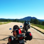
Rampart Range Rd - finally, a place to exercise a sport bike!

We started with a very nice run through Deer Creek Canyon and I got the first chance to see just what my BMW rental motorcycle capable of.

It led to Pleasant Park Rd, then onto 285 to reach Pine Valley Rd / Deckers Rd.

photo-fattys-pizza

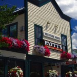
Fatty's Pizza in Brekenridge

We passed the Rampart range and Pikes Peak with a loop south on 67 / Teller County Rd.

24 led us north again till we detoured out to Eleven Mile on SR 90.

Back on 24, we next veered north on 9 into Brekenridge for lunch.

photo-leadville

Stormy skies over Leadville

Next stop was Leadville. Coming into town we hit festival detours so we stopped to see what was going on.

We continued on 24 to Twin Lakes to pick up SR 82 – Independence Pass.

We arrived in Aspen at dinner time and found an affordable room in Snowmass to pass the night.

Saturday:

photo-Independence-pass

Paused in Independence Pass

By 07:30 we were on our way hoping to get to Independence Pass before the traffic to enjoy a “spirited” run on the wild road. We were not disappointed.

Riding a road like this at speed takes every skill you’ve got! It’s terribly rough and broken, gravel and rocks in the turns, bumps, patches, and potholes will have your full attention and you’d better be able to change your line quickly even when your knee nears the pavement.

photo-motorcycle-independence-pass

My wife jackie - outstanding talented rider

We retraced our tracks to Leadville for a good breakfast, passed through Frisco, and got on the Interstate back towards Denver, then left it again at Idaho Springs for a run over Mt. Evans.

Saturday afternoon is not the time for a ride over Mt. Evans. It’s another rough and challenging high mountain road, tight and curvy, and choked with traffic. Bummer.

photo-stopped for a photo

Put that damn camera away and let's get going!

With a final pass through Bear Creek Canyon we returned to Denver.

I was sad to part with my rental bike, a BMW F800 S. I’m really starting to enjoy sport bikes and the beemer was not only quick, but comfortable for all day riding.

Sunday:

We flew home.

We’d hit some of the classic rides. I will go back again. I’m sure there are plenty more roads waiting.

photo-independence pass-us

Wayne (author) and Jackie with our color coordinated rental rides. She really liked the BMW 650 GS riding it as if she'd had one for years. It felt like a chopper with ape hanger bars after riding the sporty F800 S, and I knew I'd made the right choice for me.

_______________________________________________________________________________
Wayne Busch
Wayne Busch – Cartographer
– Wayne Busch lives in Waynesville, NC, where he produces the most detailed and comprehensive and up-to-date motorcycle pocket maps of the Blue Ridge and Smoky Mountains to help you get the most of your vacation experience. See them here – AmericaRidesMaps.com 

Popular Blue Ridge Parkway feature destroyed

photo-sign-at-the-highest-point-on-the-Blue-Ridge-Parkway

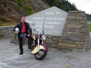
The sign at the highest point on the Blue Ridge Parkway

What a surprise as our motorcycles rounded the bend on my favorite section of the Blue Ridge Parkway July 4 to find a familiar and highly visited overlook feature missing. We had to stop for a closer look.

It’s one of those classic photo opportunities on your Blue Ridge Parkway motorcycle ride – the highest point of the 469 mile roadway is prominently marked with a large sign at the popular overlook. You can pull your bikes right in front of it and get that great picture to commemorate your visit – until now. That sign is missing.

Photo-sign-destroyed-on-Blue-Ridge-Parkway

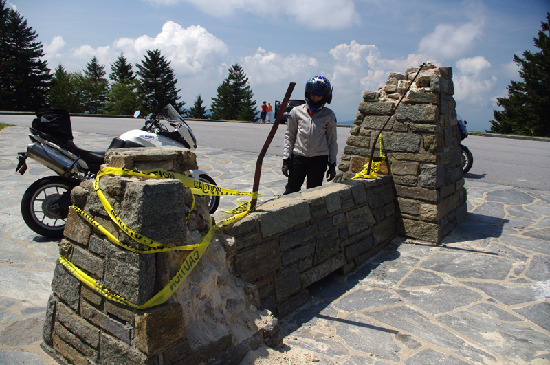
It used to be a classic photo spot - pull your bikes in front of the sign and get the picture for your scrapbook

My first though was it had been struck by a car. It would have had to be a big car though, at least an SUV, maybe even a small truck, but the evidence did not show signs of a collision.

Photo-sign-destoryed-on-Blue-Rdige-Parkway

Surveying the damage we speculate the sign was pushed over. Look at the bent steel supports, and the damage to the rock pillars up high.

The damage was too high, and it appeared more as if it had occurred from the top down. The twisted steel and fractured rock indicated the sign had probably been forced down by high wind, though it must have been one heck of a blow. Perhaps it was a tornado or one of those micro-burst events. At over 6000 feet elevation you can experience some pretty severe weather.

Photo-view-from-highest-point-on-the-Blue-Ridge-Parkway

The view from the highest point on the Blue Ridge Parkway.

Still, this sign has stood through harsh conditions for many years. I’m glad I wasn’t up high when this damage occurred. We’ve had extraordinarily unusual weather in the Smoky Mountains this year. Until now, I would have told you tornados don’t happen in the mountains. Great Smoky Mountains National Park has experienced a couple, you can still see the twisted steel tower in the middle of the lake at Deals Gap left when that cyclone blew through, and  I no longer know what to expect. Times are changing and the southeast has been pummeled with twisters this year.

If it’s the end-of-times, I’m going out riding my motorcycle. Watch me flash by in the twister like the wicked witch in the Wizard of Oz. See you on the yellow brick road.

You’ll find this outstanding motorcycle riding area featured on America Rides Maps “The Best Motorcycle Rides South of Great Smoky Mountains National Park

_______________________________________________________________________________
Wayne Busch
Wayne Busch – Cartographer
– Wayne Busch lives in Waynesville, NC, where he produces the most detailed and comprehensive and up-to-date motorcycle pocket maps of the Blue Ridge and Smoky Mountains to help you get the most of your vacation experience. See them here – AmericaRidesMaps.com 

Video Camera Survives Drop from Speeding Motorcycle

When my GoPro video camera falls off my motorcycle I find it in pieces –


http://youtu.be/euOYb-hkhew

I’ve been shooting a lot of video from my motorcycle recently to prepare for the launch of a new program where you can get short videos about motorcycle riding in the Blue Ridge and Smoky Mountains delivered via email. It’s pretty cool, I think you’ll like it a lot. It’s something you choose to sign up for, and you can cancel it at any time. There’s no spam or advertising, no sharing your name or info, it’s all private and secure.

I’ll be featuring motorcycle friendly places to stay (especially those that offer you a discount), sharing some of my favorite Smoky Mountain motorcycle rides, telling you about great motorcycle products I’ve tested (like my GoPro HD video cameras, Liberty Sport Motorcycle Sunglasses, etc.) and showing you different sections of the Blue Ridge Parkway to help you plan your motorcycle vacation travels and make the best use of your precious motorcycle riding time.

Image - Smoky Mountain Rider

Smoky Mountain Motorcycle Rider - It's All Here

I’ve got 8 videos in the works now and plan to launch the Smoky Mountain Rider Motorcycle Video Ride Guide in about a week. (you can sign up for it now at www.smokymountainrider.com)

I’ll be doing a more thorough review of the GoPro Hero HD cameras in one of those videos, but if you want to know more about them now go to http://gopro.com/products/ . If you want to buy one, I urge you to get the motor sports package –  (not the helmet package), you’ll get more mounts for your bike.

I’m really excited about the Smoky Mountain Rider Motorcycle Video Ride Guide, I’ll be putting a lot of effort into bringing you the most useful info I can about motorcycle riding in the Blue Ridge and Smoky Mountains. Go ahead and sign up now.

PS – I sent this video to GoPro and they’re sending me the part I lost at NO CHARGE!  They’ve have always provided me great service.

_______________________________________________________________________________
Wayne Busch
Wayne Busch – Cartographer
– Wayne Busch lives in Waynesville, NC, where he produces the most detailed and comprehensive and up-to-date motorcycle pocket maps of the Blue Ridge and Smoky Mountains to help you get the most of your vacation experience. See them here – AmericaRidesMaps.com 

Asheville Bikefest – Still the Largest Motorcycle Event in the Region

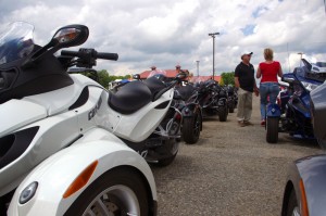
Photo - Can Am Spyders

CanAm Spyder did over 60 demo rides per day! They had a practice track set up at the event followed by road rides. I think they did a great job.

Honestly, that’s not saying much in 2011. Low turnout at Daytona was the first indication of how tough things had become. Every show I’ve worked this year, even the International shows, were way, way, down both on vendor presence and attendance. Still, nearly 2000 motorcycle riders came from throughout the Smoky Mountains to enjoy the http://AshevilleBikefest.com.

Few traveled far for the event. With the weatherman all hysterical about severe storms, hail, high winds, and a box full of nothing but green crayons to color his TV maps, I’m sure many were put off by the rumored deluge that never came. At times we could see it on the horizon, but it never impacted the show. Mother nature kindly blessed the factory demo fleets from Yahama, Star, KTM, Can-Am Spyder, and Motor Trike with dry roads for the many riders who came to sample the latest offerings from the industry after she cursed Boss-Hoss by flooding the factory only days earlier forcing them to pull out of the event.

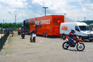
Photo - KTM riders returning to the Asheville Bikefest

Riders returning from their KTM demo rides to the Asheville Bikefest - I talked with a lot of happy folks afterwards.

All the guided rides and the Poker Runs by the Grassroots Cafe went off well, though only a handful of people took advantage of the opportunities to ride free with professionals who usually charge some serious coin for the service. The 100 mile adventure ride sponsored by KTM had those riders totally satisfied and with tales to tell. Greg from Sportsbikes4hire.com took a small group out to the Dragon for some fun. BlindKenny.com got a few nice road shots of riders nearby.

Half the vendors pulled out before the show. Some others picked up and left before things peaked on Saturday. The remainder seemed to have what people were looking for and had a pretty good event. Personally, it was the best motorcycle event of the year for my business, http://AmericaRidesMaps.com. I was amazed at how many attendees already had my maps, knew of them, or came to see the latest offerings. I had 20 free maps of great motorcycle rides close to the event and gave away a couple thousand of them. On Thursday and Friday I gave away hundreds of my $5 maps at no charge, all you wanted, help yourself. I saw people walk off with stacks of them. It was fun.

The stunt show by the Anti-team was outstanding, as usual. The local music was good, at times great. I liked the food from the vendors.

It wasn’t a huge show. Only 1/3 as many people attended as last year. There were far fewer vendors. Those who came seemed to come with a purpose, to either get together and ride, or test ride a brand new motorcycle. I’m sure some left disappointed, others got exactly what they were looking for. Everyone got at least $5 worth of something (the low entrance fee) and usually a lot more.

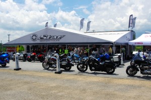
Photo - Star-Yamaha at the Asheville Bikefest

Star-Yamaha did and awesome job. This is their second year - I really hope they come back for the next.

Times are hard, but what the show did, it did well. Next year is already booked at the Agriculture Center south of Asheville. As Route Master I’ve got a few new ideas. I’ll be asking you for more. Thank you, Mark and Yvonne Cresswell from Worldwide Dynamics for putting on another well run show.  They’re off to Laconia, then Sturgis, to wrap up the year for their events.

I remember when I first met Mark, he told me (I’m paraphrasing), “You can’t force an event. It has a natural growth. It takes time. Each has it’s own character, and I want this event to be all about RIDING in the mountains, respecting and reflecting the values and mountain heritage that are the heart of this region and sharing that with riders who already love this area and those yet to find it”.

Photo - Motor Trike

Motor Trike had some exciting designs. These folks are looking at the tamer versions.

Mark’s kept to his plan. He’s selective with the vendors to steer the show in a certain way, pruning some branches, nourishing others. This is his home turf, he lives here in Black Mountain.

We’ve made it through the “terrible two’s” Mark, and you know what they say, “Three times a charm”. We’re already setting things in motion for 2012 and the Third Annual Asheville Bikefest and Blue Ridge Run – 2012.

There. I’m first to say it. Get involved. I”ll see you at the Third Annual Asheville Bikefest and Blue Ridge Run – 2012. next May.

_______________________________________________________________________________

Wayne Busch
Wayne Busch – Cartographer
– Wayne Busch lives in Waynesville, NC, where he produces the most detailed and comprehensive and up-to-date motorcycle pocket maps of the Blue Ridge and Smoky Mountains to help you get the most of your vacation experience. See them here – AmericaRidesMaps.com 

Smoky Mountains Adventurous Spring Motorcycle Ride Photos

Photo - Soco view

Morning view on Soco Rd - Click on pics for LG view

15 minutes from home and already I was fighting the urge to jump off the motorcycle and start snapping pictures. It was a beautiful Smoky Mountain spring morning. Rounding every curve the canvas repainted another fabulous scene as I droned down from the Blue Ridge Parkway at Soco Gap towards Cherokee.

Photo - view from Clingman's Dome

Clingman's Dome view

Not a car on the road ahead of me, I let the bike stretch it’s legs through the curves effortlessly riding every last inch of rubber as my Triumph Tiger charged down the incline in pursuit of it’s prey.

Photo - view from Roaring Fork Rd

Roaring Fork Road - must be Roaring Fork!

It felt so good, all is right with the world when you’re on your motorcycle in the mountains. Wrapping around a rock face with the mellow grace of a cat arching it’s back, I flicked left to begin my plunge to the valley floor on the first of the new roads I’d see today.

Photo - hairpin curve on Alpine Rd

Alpine Rd - one of my newest favorites

How had I missed this road? I’ve bypassed it many times on my passages to Cherokee. It’s not like I haven’t studied the area and it’s so close to home. Yet when we came through on a motorcycle ride Saturday, a road I was vaguely familiar with suddenly jumped out at me and said, “Come back and take a closer look”.

Photo - Cherokee Orchard Rd

Cherokee Orchard Road Overlook

The clue  that tipped me off  was the name – “Old Soco Road”. It suggested I was riding the “new” Soco Rd (US 19). “Old” Soco Rd was the way things used to be. Sometimes these “old” roads are gems.

It was like riding off a cliff and I had to quickly adapt to the more primitive road surface. Gliding through turn after turn I delicately parachuted through the  loose gravel and the windblown debris that had rained down on the switchbacks on this third day of roaring mountain wind. April was coming in with a bang.

Photo - Old mill

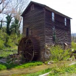
I passed this old mill again today

So began a day that took me across Great Smoky Mountains National Park and out into the wilds to the north as I clicked off road after road on my search for the best motorcycle rides. The afternoon would bring me into a violent storm navigated on what were now familiar byways through seemingly remote and isolated hidden valleys where angry streams threatened to crest their banks and wash across the pavement.

Photo - Tapoco Dam

The Dam at Tapoco

Looping around the west side of Great Smoky Mountains National Park near the end of the day, I’d arrive at Deals Gap to find the motorcycle resort closed due to the lack of electricity as a wind blown forest fire raged up a flank of the park consuming the lines and felling trees in it’s path. I’d squeeze through a gap between the fire trucks parked on a back road to ride through the smoke and smolder where crews fought the flames and mended the wires.

As the day drew to an end the lightening and rains caught up to me again, followed me home bringing the fury of the storm with them, and toppled trees that would have me without power for the next few days.

I’ve lost a couple days of work and will now double-down to make it up. With each new day the grays and browns of winter give way to the soft pastel greens of emerging leaves as spring wrestles the cold grip from the old season to bring the warm blooms of the new.  The fuse is lit for the explosion of color. It’s time to point your wheels towards the high country, its ready for you.

_______________________________________________________________________________
Wayne Busch
Wayne Busch – Cartographer
– Wayne Busch lives in Waynesville, NC, where he produces the most detailed and comprehensive and up-to-date motorcycle pocket maps of the Blue Ridge and Smoky Mountains to help you get the most of your vacation experience. See them here – AmericaRidesMaps.com 

Finally – Warmer Blue Ridge Motorcycle Riding Weather

Man, that was a long cold spell, but it looks like we’re going to get a break here in the Smoky Mountains, at least for a little while. We all know winter isn’t gone yet, it’s still mid February, but we’ve missed those warm spells that make it tolerable for motorcycles in the Blue Ridge. No more!

Photo - Blue Ridge Parkway still closed

Blue Ridge Parkway - Beech Gap - Junction NC 215. The Parkway is still closed of course, though plenty were out enjoying it on foot and bicycle.

Jackie and I got out for some riding Sunday, including a stop at the Blue Ridge Parkway at Beech Gap. While we’re so grateful to have this opportunity to get out and ride, it’s no time for getting frisky. Snow lines the roads in the high places, and every shady curve has you watching for lingering ice. The salt, gravel, and sand still lays thick on frozen roads and columns of ice cover rocky faces which see little sunshine. Ride a little, slide a little, it can be a delicate dance sometimes.

Photo - ice along NC 215

Ice coats the rock faces near the heights of the Blue Ridge Parkway on NC 215. The winter sun is still too low in the sky to warm places like this.

We shot more video for the America Rides Maps winter video project, I showed Jackie a great road she’d never been on, and we saw plenty of other bikers out enjoying rides on their motorcycles. It should be similar tomorrow and maybe a few days more. I know I’m going to take advantage of it.

Photo - Frozen Waterfall

Frozen waterfall - Bubbling Springs Branch on NC 215

Hope you get a chance to ride soon. I can’t stop thinking about spring, though this break is sure welcome.

_______________________________________________________________________________
Wayne Busch
Wayne Busch – Cartographer
– Wayne Busch lives in Waynesville, NC, where he produces the most detailed and comprehensive and up-to-date motorcycle pocket maps of the Blue Ridge and Smoky Mountains to help you get the most of your vacation experience. See them here – AmericaRidesMaps.com