Sights from the Road – Bible Covered Bridge in East Tennessee

  • 10/30/2019

Easy-to-see Bible Covered Bridge near Greeneville is a good stop on your motorcycle ride in East Tennessee.
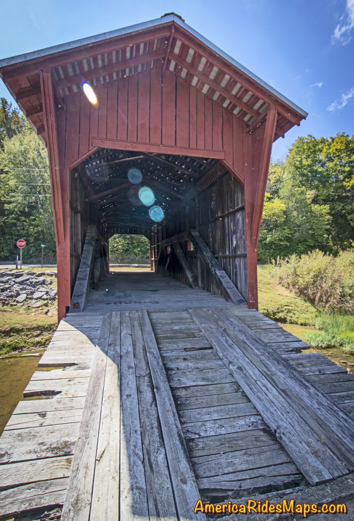
Bible Covered Bridge, east Tennessee

Bible Covered Bridge, east Tennessee

When your motorcycle finds Warrensburg Road (TN 349) in East Tennessee you’re in for an enjoyable ride. The road is big and in good shape, a little hilly, and has some nice twisty sections along the creek.  It’s a pleasant way to pass through the are near Greeneville avoiding the traffic on the more prominent roads.
Bible Covered Bridge, east Tennessee

Bible Covered Bridge, east Tennessee

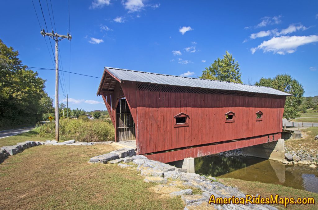
Along the way you’ll pass the easy-to-spot Bible Covered Bridge where Bible Branch Road turns off from TN 349. Once you cross the creek a gravel parking lot connects to that road. The covered bridge spans the creek.
Bible Covered Bridge, east Tennessee

Bible Covered Bridge, east Tennessee

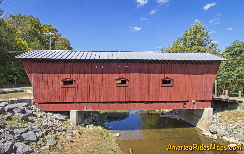
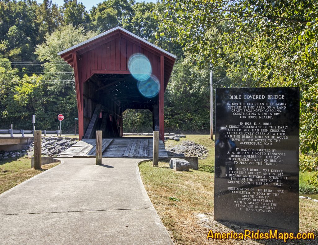
The Bible Covered Bridge straddles Little Chuckey Creek connecting the Bible farm with Warrensburg Road. In 1923, the E.A. Bible family hired A.A. McLean to build this bridge to improve access to the main road from their farm. At the time, it had no side windows. In 1940, Greene County purchased it for $750. The Greene County Heritage Trust rehabilitated it, including a new exterior covering with three pedimented windows on each side, also roof bracings and a shingle roof. in 1975 it became a historical structure.  Restoration of the bridge was completed in the fall of 2004 by the Greene County Highway Department with the help of a grant from the Tennessee Department of Transportation. The bridge retains the original wooden and steel truss members from 1923, the original concrete substructure, the original floor. Sources: https://bridgehunter.com/tn/greene/bible-covered/ , https://www.tnvacation.com/local/greeneville-bible-covered-bridge
Bible Covered Bridge, east Tennessee

Bible Covered Bridge, east Tennessee

This area of East Tennessee is 15 minutes north of the mountains found along the border with North Carolina. It’s not a highly scenic area, there are not a lot of reasons to stop your motorcycle ride. The Bible Covered Bridge is one of them. You can’t ride across the bridge, but it is an easy place to visit, close to parking, perfect for a short break and some photos of a historic sight.

Wayne Busch - AMERICA RIDES MAPS

Wayne Busch – AMERICA RIDES MAPS

Article by Wayne Busch, America Rides Maps

We produce detailed maps of the best roads to enjoy on your motorcycle travels in the Blue Ridge and Allegheny Mountains.

Get the maps at AmericaRidesMaps.com
Source: America Rides Maps Blog on Miles-by-Motorcycle.com

Motorcycle Rides – Sights from the Road – Georgia

  • 9/30/2019

The road narrows to cut through this historic farm in Dial, Georgia.

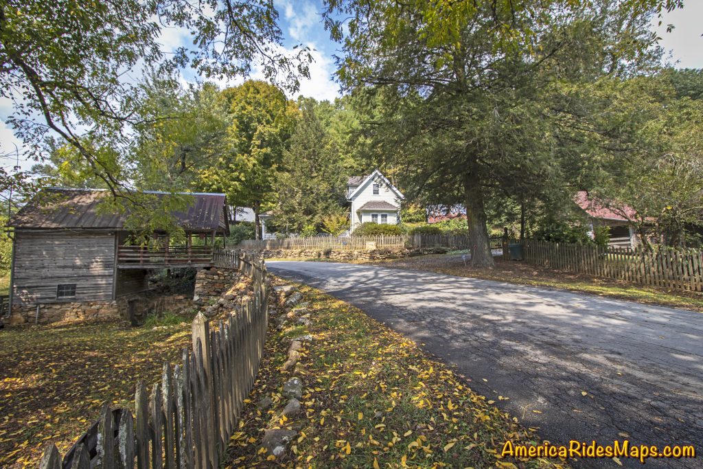
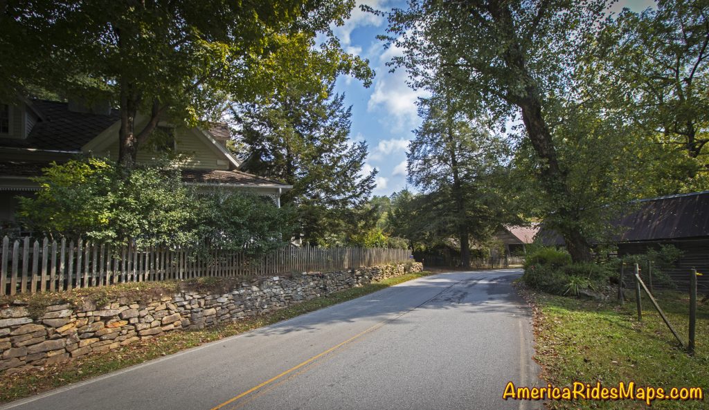
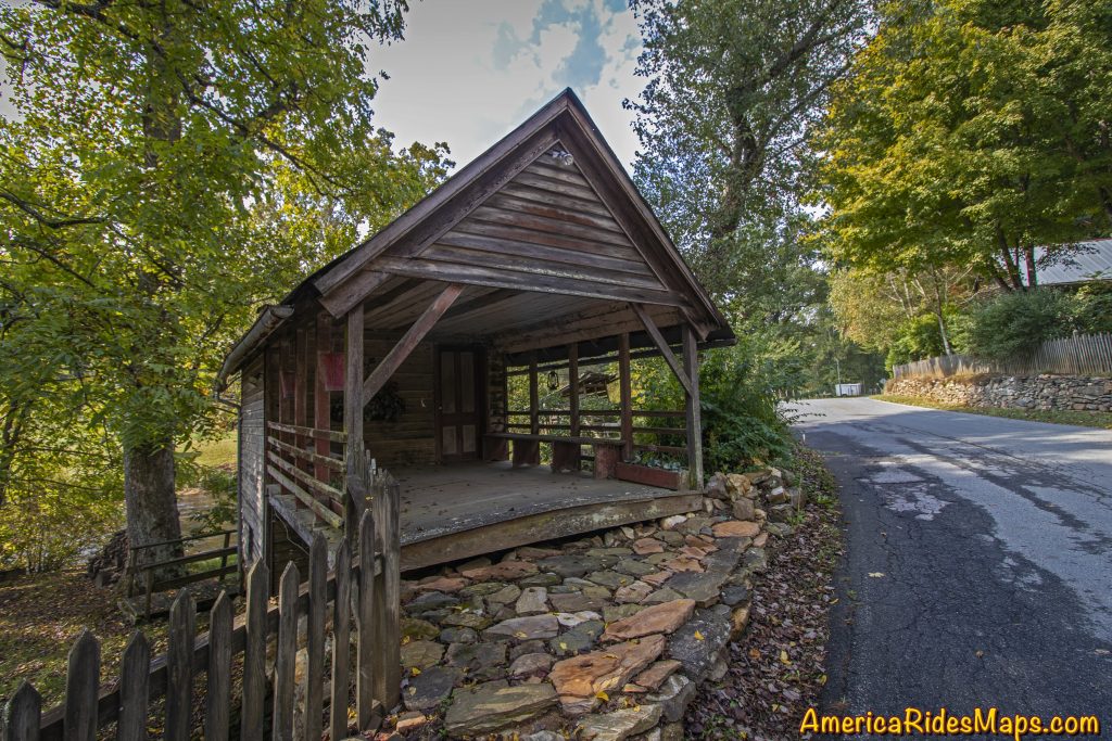
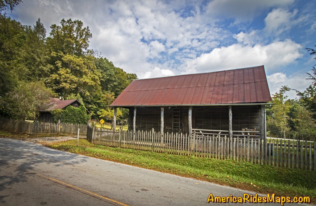
Roadside Farm in Dial, GA

Roadside Farm in Dial, GA

Hearing a car approaching I’d stepped to the grass to let it pass. Though I’d been through several times before, something today made me appreciate this spot along the Toccoa River where the road narrowed to thread through the old wooden buildings of the homestead. The approaching car slowed then stopped, the window down.

“Beautiful, isn’t it?” came a voice from the driver.

Roadside Farm in Dial, GA

Roadside Farm in Dial, GA

“I used to manage this farm” the woman in the car said to me. Her broad smile conveyed her pride.

Roadside Farm in Dial, GA

Roadside Farm in Dial, GA

“Yes, it is beautiful, I just had to stop and take a few shots” I said, resisting the urge to snap a candid photo of her. It just didn’t seem polite.

She nodded acceptingly then added – “Watch out, there’s some crazy folks on this road”.

I smiled and added “I’m probably one of them”.

Roadside Farm in Dial, GA

Roadside Farm in Dial, GA

She laughed then continued on her way.

One of the most enjoyable things about cruising the backroads on your motorcycle are the wonderful sights and beautiful views you come across. The hundreds of roads that weave through the southern Blue Ridge Mountains hold many secrets. There are little spots here and there that touch us in special ways, appeal to things deep within us, reward us with emotions of appreciation and admiration. Don’t let them all pass by, savor the good ones.

Dial Road Interactive Map

Wayne Busch - AMERICA RIDES MAPS

Wayne Busch – AMERICA RIDES MAPS

Article by Wayne Busch, America Rides Maps

We produce detailed maps of the best roads to enjoy on your motorcycle travels in the Blue Ridge and Allegheny Mountains. Get the maps at America Rides Maps.com
Source: America Rides Maps Blog

Motorcycle Destination – Bell Mountain, Georgia

It didn’t take long once the approach road was paved for this Georgia scenic attraction in Hiawassee to get noticed.

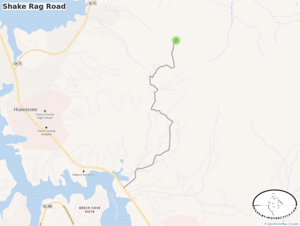
Shake Rag Rd Map

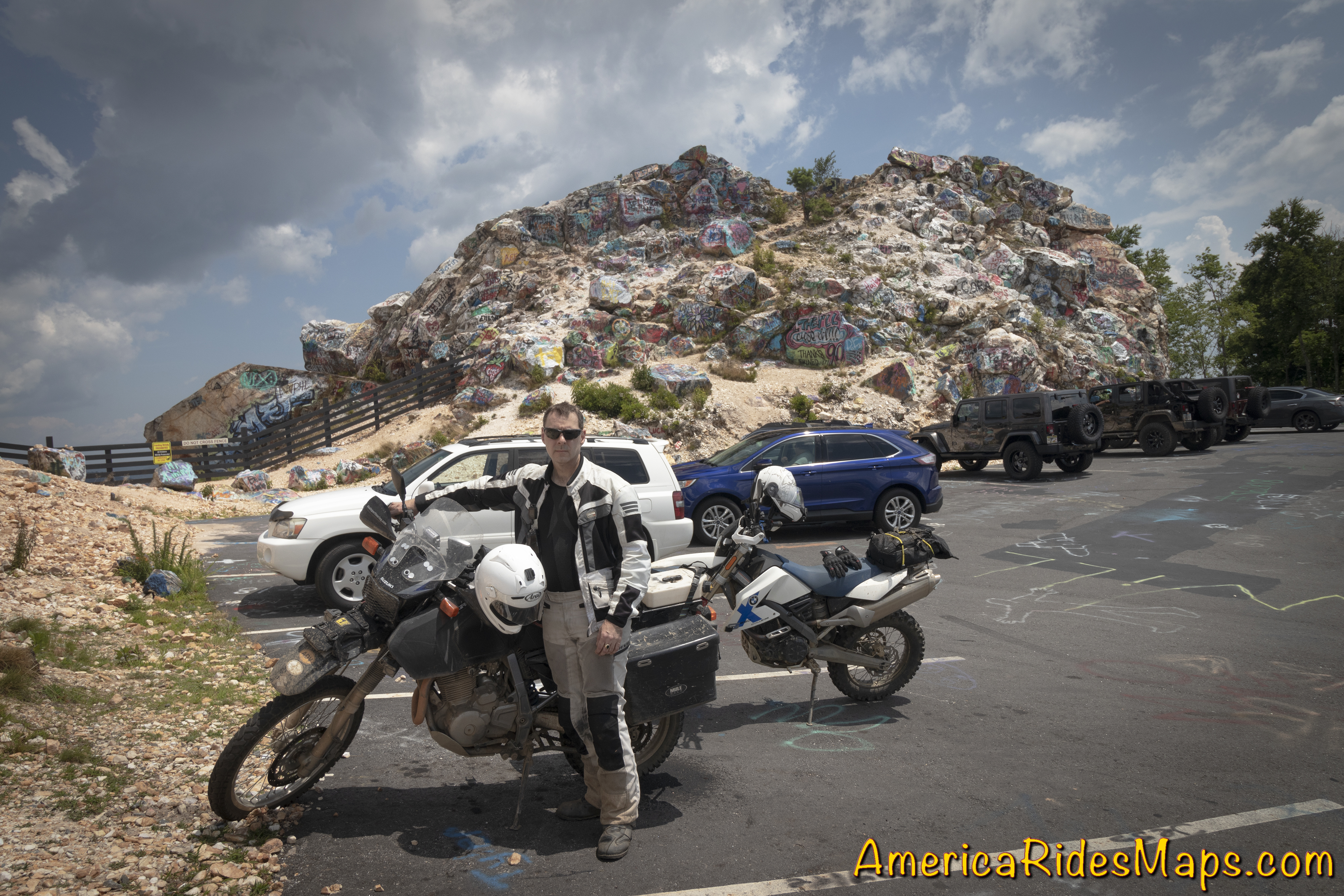
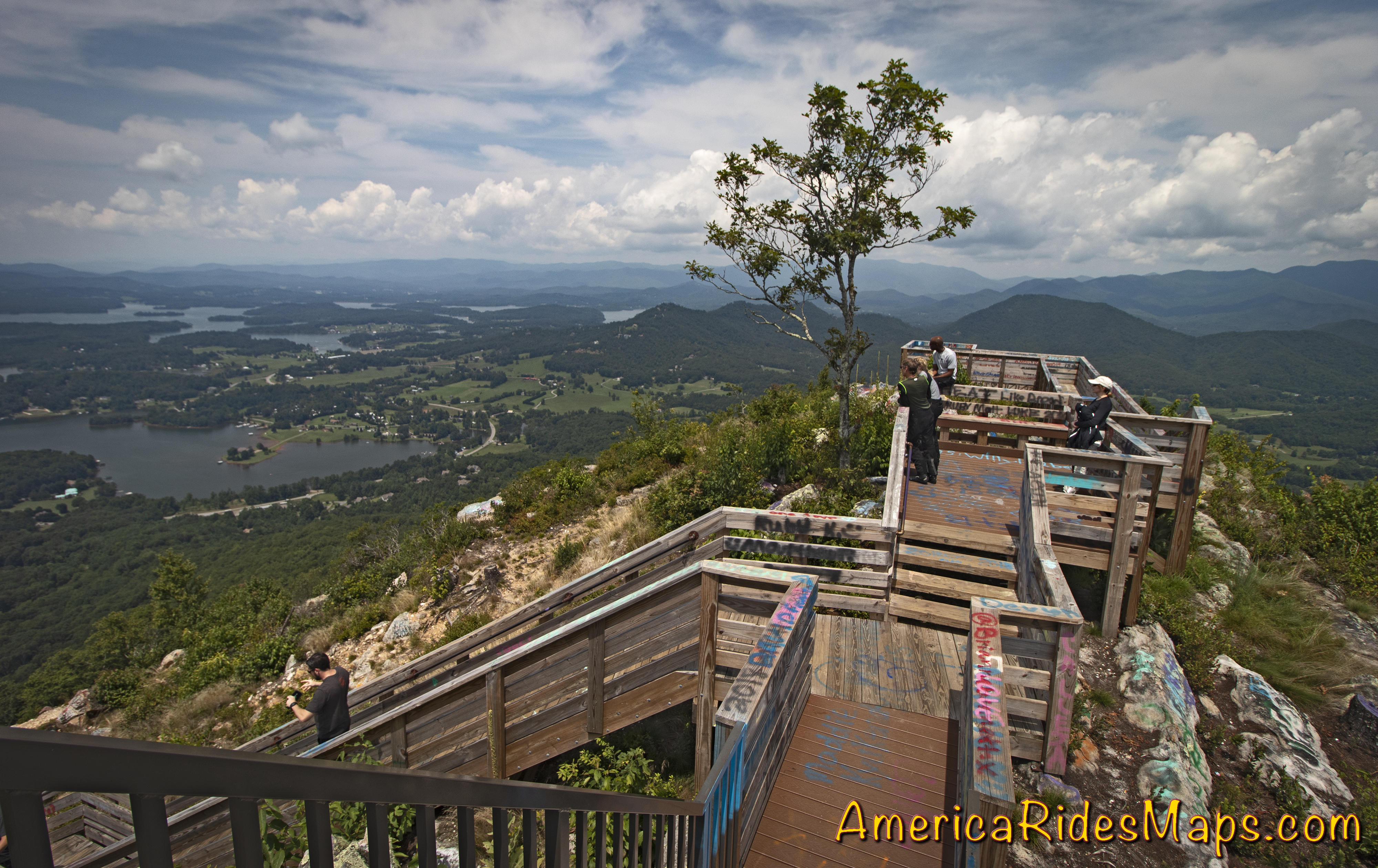
Bell Mountain is a rocky outcropping overlooking Lake Chatuge in Hiawasse, Georgia. I’ve read that it is the scars and remnants of a somewhat sketchy and ultimately failed mining effort in 1963.

Yermo at Bell Mountain, GA

It’s reported a local resident bought Bell Mountain to protect it from further abuse then gave it to the town when he died. The town turned a local eyesore into an attraction.

Bell Mountain by Motorcycle

As to the graffiti at Bell Mountain – I think it’s just a fad that caught on. Most anything that can be tagged with spray paint has been marked. The rocks, the stairs, the walkways, tree stumps….

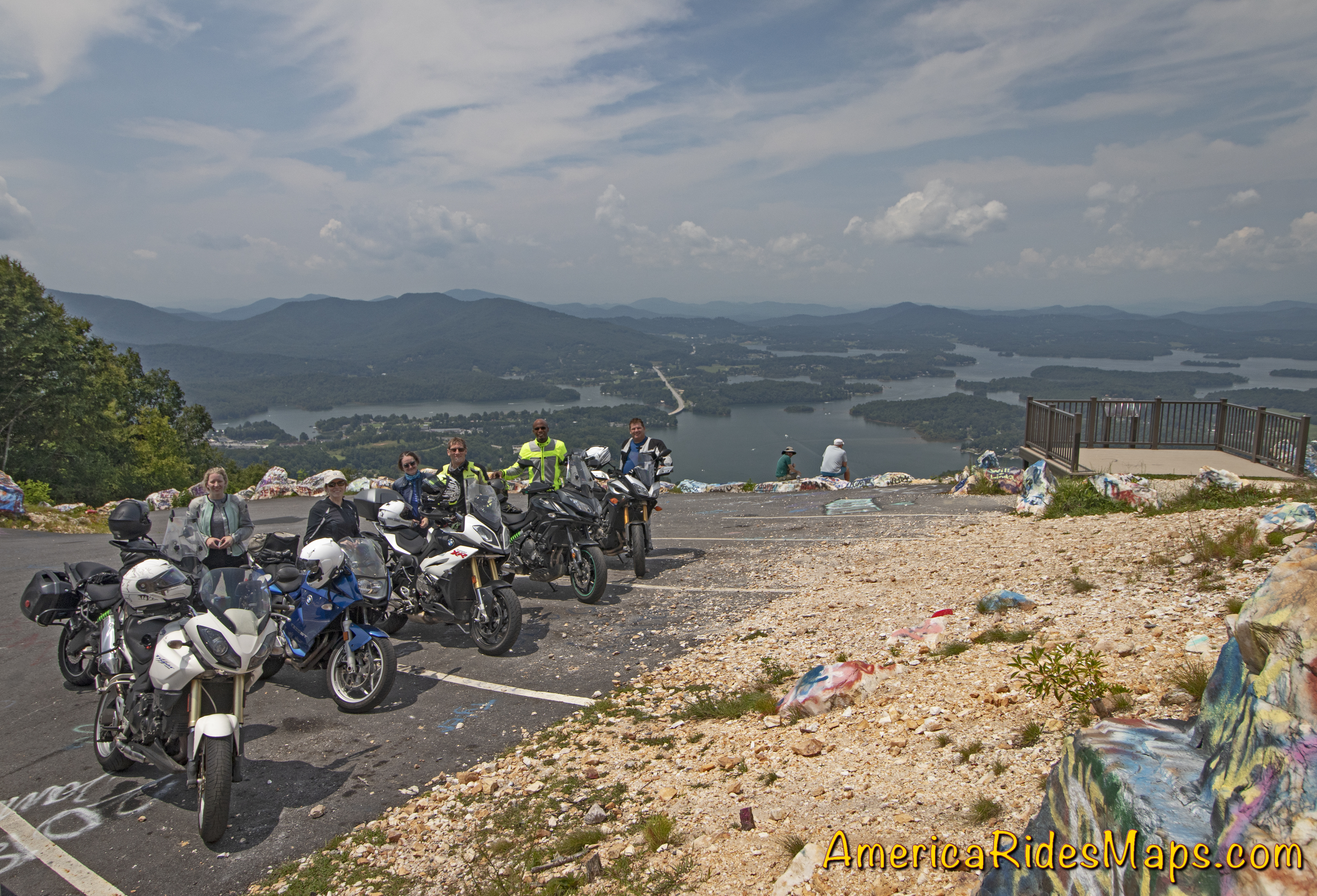
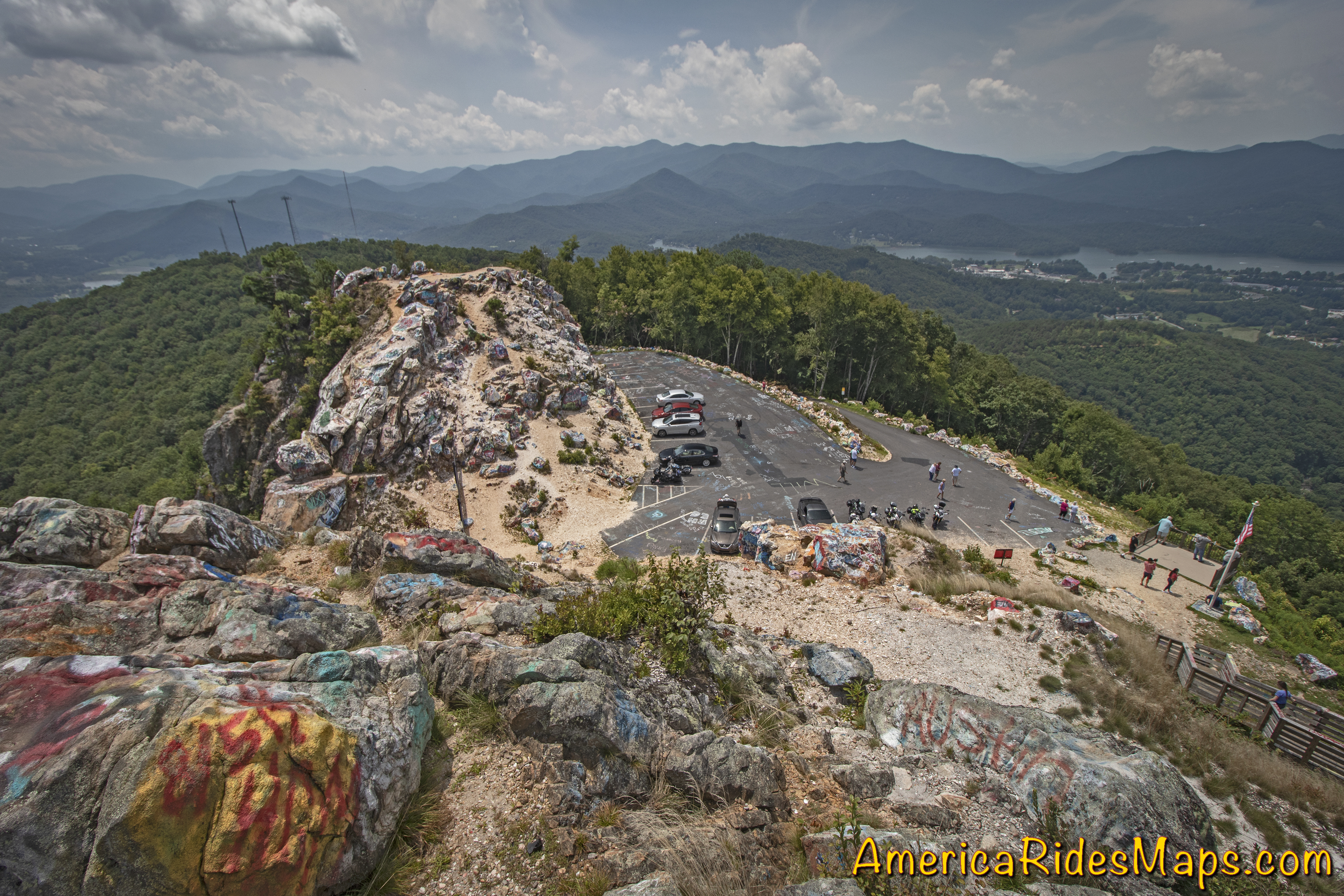
Some find this painting an insult. I find it unique and quirky. The views from the boardwalks at the top of the stairs are grand, it’s worth the effort to go up.

Atop Bell Mountain, GA

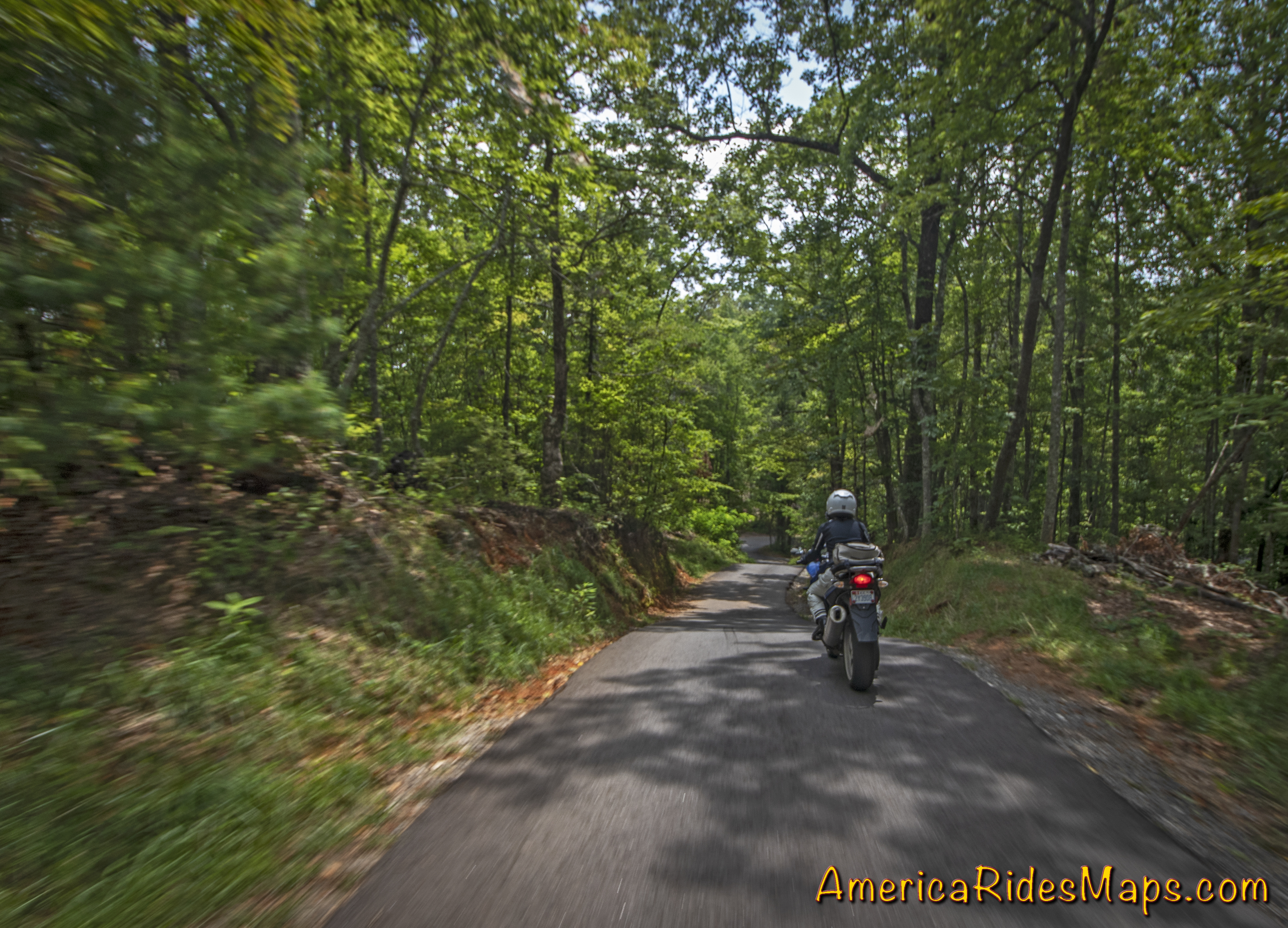
It takes less than 10 minutes to ride from US 76 in Hiawassee to the top of the mountain. Shake Rag Road starts off curvy then gets very steep, narrow, and tight. Only one car can pass at a time in places, be alert.

Shake Rag Road

Bell Mountain is a nice place to take a break on a ride passing through Hiawassee.  The views that overlook the town, Lake Chatuge, and the surrounding mountains are some of the best you’ll find in Georgia.

Wayne BuschAmerica Rides Maps

Wayne Busch searches out the most entertaining roads in the Blue Ridge Mountains then records them on a series of maps which span the Blue Ridge Mountains.

There are more great motorcycle roads in the Blue Ridge and Smoky Mountains than anywhere else. I highlight the best roads then show you the best ways to connect them together into rides. More than a decade of searching has discovered more than 1000 good roads to enjoy. We continue to search so you may enjoy.

Review the maps, order online hereAmericaRidesMaps.com

This area is detailed on:

Map #9The Best Rides in the North Georgia Mountains

Map – 100 Great Motorcycle Rides in the Southern Blue Ridge


Source: America Rides Maps Blog @ Miles-by-Motorcycle.com
https://miles-by-motorcycle.com/51999/blog/60676/motorcycle-destination—bell-mountain–georgia

Two Blue Ridge Parkway Attractions at Roanoke, VA

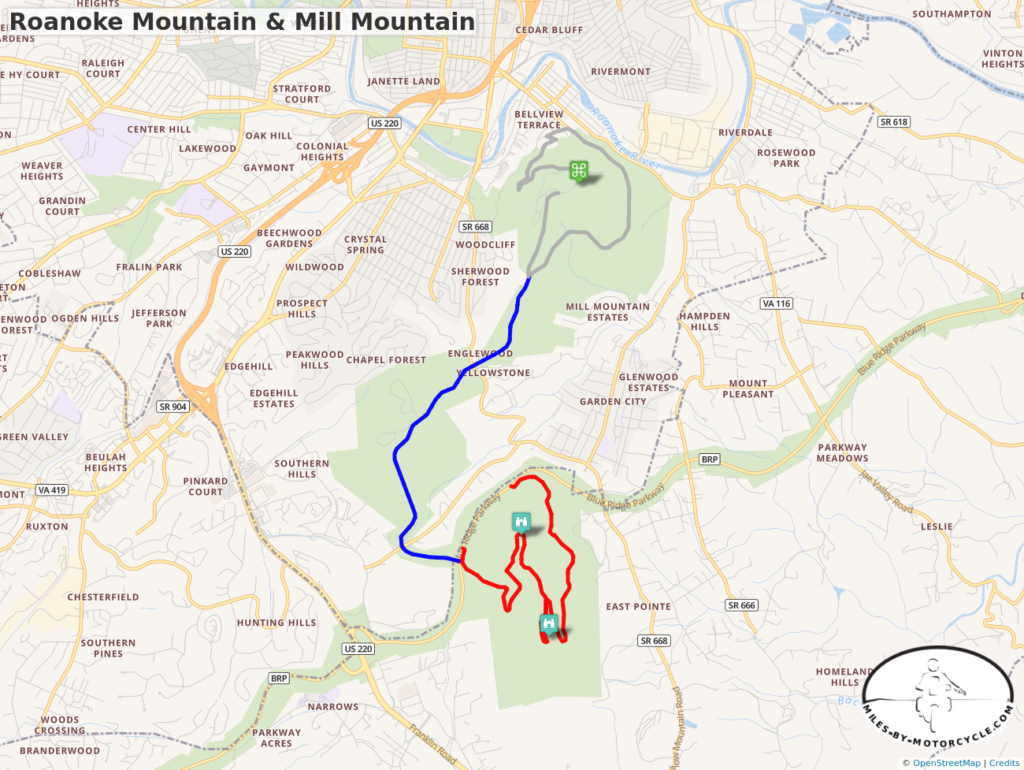
It’s too easy to ride past two great Blue Ridge Parkway attractions at Roanoke – Mill Mountain and Roanoke Mountain. Both are just south of the city and worth a visit. The Park Service roads which lead to them are well marked.

Roanoke Mtn and Mill Mtn Map

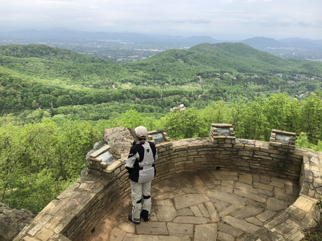
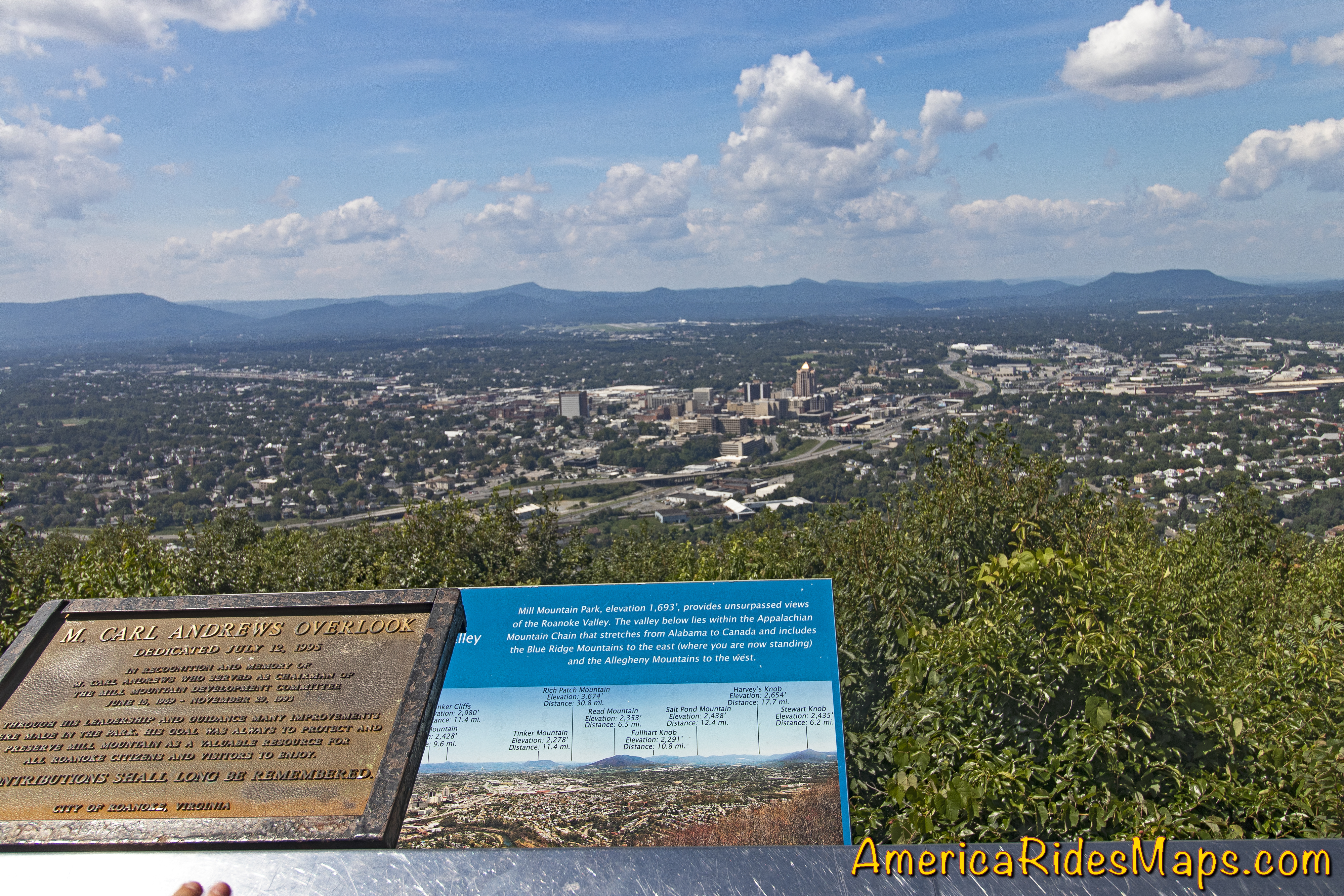
Roanoke Mountain Loop Road at Milepost 120.3 is on the east side of the parkway. The 3.75 mile single lane one-way paved road winds up then down the mountain to reconnect with the Blue Ridge Parkway. There is an overlook at the top of the mountain but the better view is from the Mill Mountain Overlook on the climb up. It takes about 20 minutes to ride it though I always stop at the overlook.

Roanoke Mountain - Mill Mountain Overlook

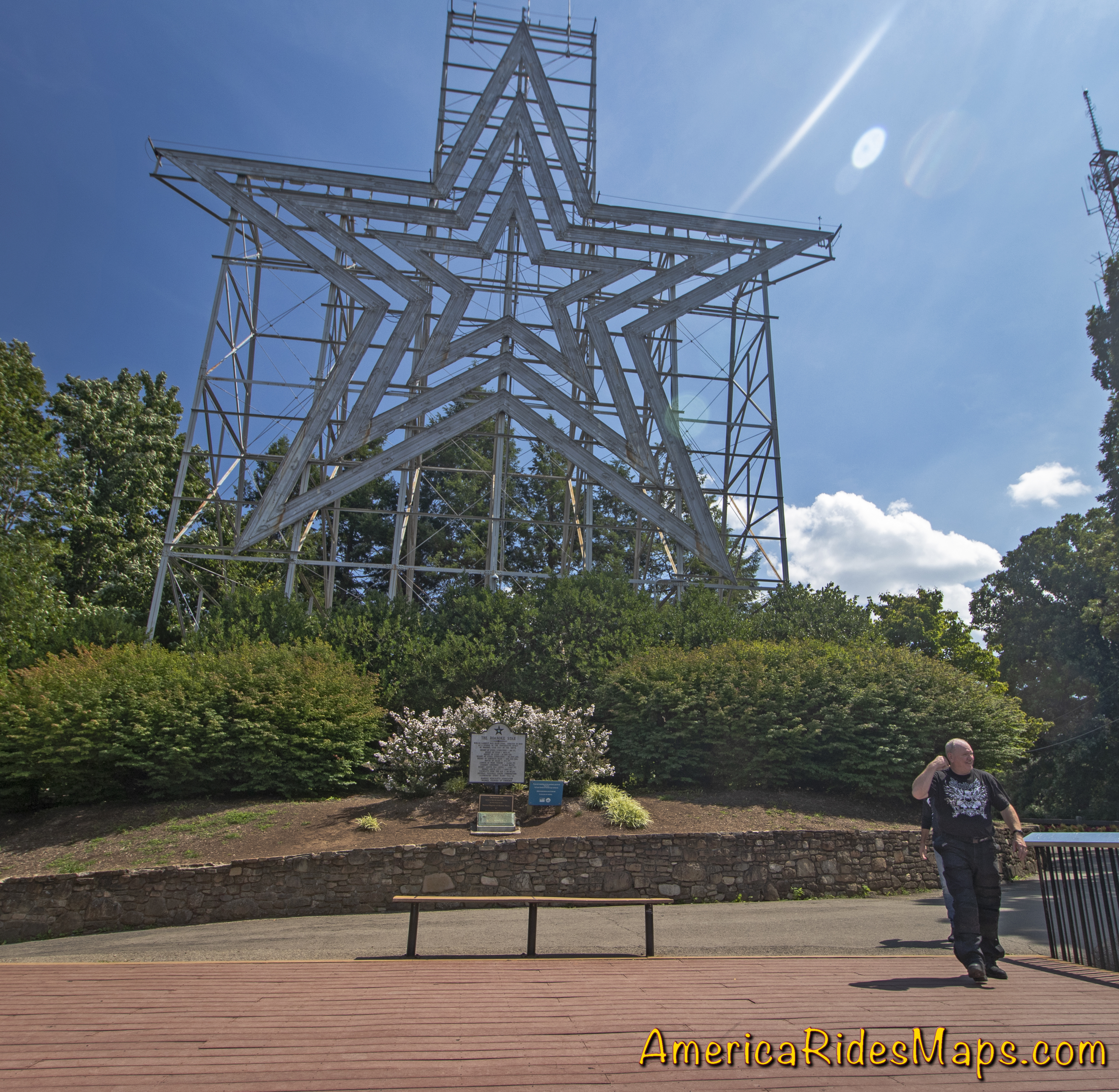
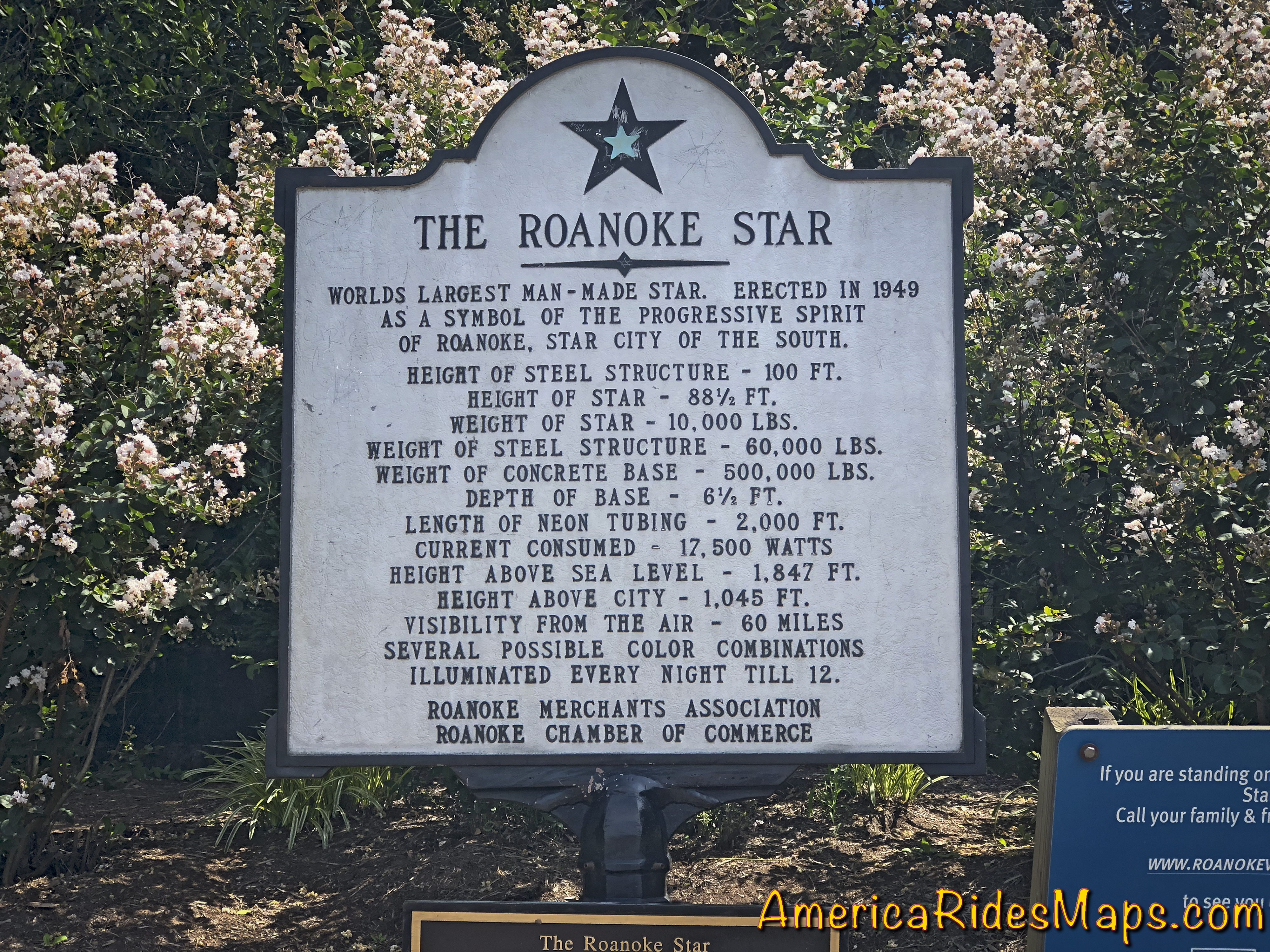
Mill Mountain is home to the famous Roanoke Star which looms above the city. You reach it via the Mill Mountain Parkway at Milepost 120.5. Mill Mountain Parkway is virtually identical to riding the Blue Ridge Parkway, gently curving and climbing to the spur road (Mill Mountain Spur, Prospect Rd SE) that leads to the park at the top. Just walk around the corner from the parking lot and you stand beneath the largest star in the world overlooking the city below.

Mill Mountain Star, Roanoke, VA

A zoo, gardens, and visitor center are nearby. It takes about 10 minutes to ride from the parkway to the star. Beyond the spur road, Mill Mountain Parkway becomes JP Fishburn Parkway leading into the city.

Mill Mountain View - Roanoke

Both of these attractions offer better views than you’ll find from the parkway as well as a unique experience.

Mill Mountain Sign

This area is detailed on America Rides Maps Map #2The Roads of Roanoke and Beyond


Wayne BuschAmerica Rides Maps

Wayne Busch searches out the most entertaining roads in the Blue Ridge Mountains then records them on a series of maps which span the Blue Ridge Mountains.

There are more great motorcycle roads in the Blue Ridge and Smoky Mountains than anywhere else. I highlight the best roads then show you the best ways to connect them together into rides. More than a decade of searching has discovered more than 1000 good roads to enjoy. We continue to search so you may enjoy.

Review the maps, order online hereAmericaRidesMaps.com

Source: America Rides Maps Blog @ Miles-byMotorcycle.com
https://miles-by-motorcycle.com/51999/blog/60608/two-blue-ridge-parkway-attractions-at-roanoke–va

Motorcycle the Blue Ridge Parkway – Sights from the Road – Mabry Mill

Photo - Mabry Mill on the Blue Ridge Parkway

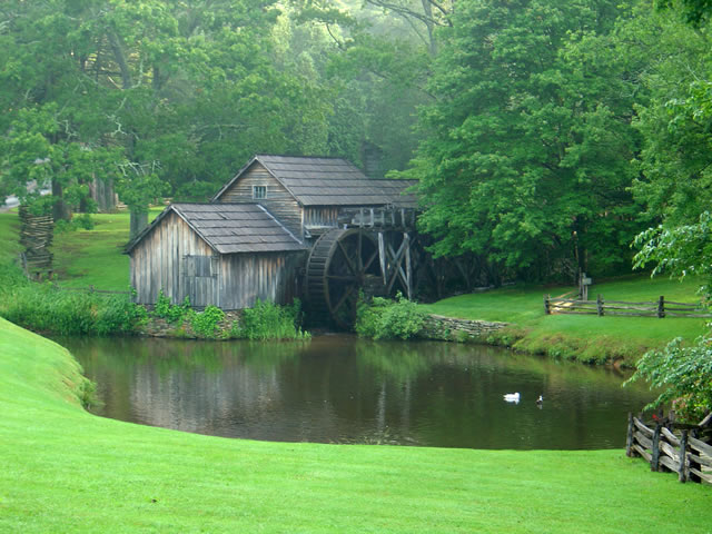
Mabry Mill – One of the most photographed sights on the Blue Ridge Parkway

One of the most popular and photographed sights on the Blue Ridge Parkway is Mabry Mill. It’s located at milepost 176 in Virginia near Meadows of Dan. Whether you’re motorcycle touring or just cruising along in your car, it’s hard to resist pulling in for a photo and a closer look (and maybe a pancake).

The mill is one of the buildings the National Park Service felt represented the character they wished to portray in their interpretation of Appalachian life and culture. It started as a blacksmith shop, then became a sawmill, then evolved into a grist mill, though it included a lathe, a planer and a jig saw so the versatile Mr. Mabry could maximize it’s use and success.

The mill has been restored and maintained and is still used for occasional demonstrations of it’s workings. The stone ground cornmeal, buckwheat flour, and grits can be enjoyed at the nearby restaurant as pancakes, biscuits, and cakes, along with preserves and country ham from the surrounding area (plan a breakfast here, but come early).

Contrary to what the Park Service originally portrayed about the “isolation and remoteness “ of these “mountain people”, there were thriving communities surrounding the area – a mill does not last long in the middle of nothing. The area surrounding the Blue Ridge Parkway in this section of southern Virginia is laced with an amazing number of fabulous two lane motorcycle rides through historic and scenic countryside. Don’t be afraid to get off the parkway on your motorcycle and enjoy some of these great motorcycle rides.


Wayne Busch - AMERICA RIDES MAPS

Wayne Busch – AMERICA RIDES MAPS

America Rides Maps