Photos from Todays Tennessee Smoky Mountains Motorcycle Ride 12-10-10

I spent the day riding in Tennessee mostly around Newport. It’s not a particularly scenic area hence so few photos. Most of the motorcycle rides I explored were not up to the quality I was looking for, but I more or less expected that. Even so, I did add a few good connectors and found a couple of outstanding rides.
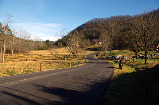
Photo - Rocky Flats Rd, TN

This is Rocky Flats Road on the north side of Great Smoky Mountains National Park. It's freshly paved and a very nice ride through some tight and hilly country.

There are a lot of little single lane roads, barely paved, in this region. It reminded me of some of the roads in western Virginia. If you’re into adventure riding you won’t run short of options. I strayed down a lot of bumpy little backroads, but few have enough scenery to make me want to revisit them. Unfortunately, when good scenery did present, the winter sun was so low in the sky I couldn’t get a decent photo.
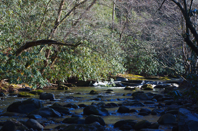
Roadside creek in Tennessee

It's common for the back roads to follow creeks and streams. It was difficult to find sunny spots to shoot photos as the winter sun is so low and the valleys so steep.

I think I covered what was needed for the motorcycle ride map I’m working on. If not, I’ll be back through this way once I get into the next map. I’ve still got to head south again and make a sweep along the border with South Carolina and Georgia. There are a handful of possibilities I want to check on there.
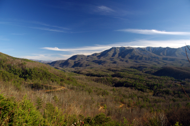
View from the Foothills Parkway

The Foothills Parkway was closed when I rode over this morning, but open on my return. I hit once patch of snow on it but it was no problem. I snapped this photo from an overlook.

The weather is supposed to turn for the worse with rain / snow moving in tomorrow. I’d chance another half day out but I’ve run out of tread on the rear tire. It will be Monday before I can get it replaced, though the coming snow may delay rides for several more days. Glad I got this done now.

_______________________________________________________________________________

Wayne Busch
Wayne Busch – Cartographer
– Wayne Busch lives in Waynesville, NC, where he produces the most detailed and comprehensive and up-to-date motorcycle pocket maps of the Blue Ridge and Smoky Mountains to help you get the most of your vacation experience. See them here – AmericaRidesMaps.com 

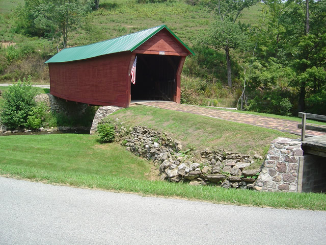
Sights From The Motorcycle Road – Sinking Creek Covered Bridge, VA

My recent motorcycle mapping explorations skipped back and forth across the border of Virginia and West Virginia. In my travels I came across Sinking Creek Covered Bridge near Newport, Virginia, and as it was a good time to take a pause to catch up on my notes I stopped and snapped a few photos.

Photo - Sinking Creek Covered Bridge circa 1916

Sinking Creek Covered Bridge circa 1916 near Newport, Virginia

It’s not often I stop for photos as I am usually trying to get in as many miles as I can while the daylight permits. On this past trip I covered almost 1700 miles in 3 days, nearly all of it on two lane roads. I ride hard. I rode long. I only pause to take notes and reference my routes.

Sinking Creek Covered Bridge is located on SR 601 – (Clover Hollow Road) and it’s well marked from SR 42 (Bluegrass Trail). The bridge was built in 1916, then abandoned when a concrete bridge was built over Sinking Creek nearby. The landowner refused to accept the bridge and for years it’s ownership was in limbo. in 1955, Giles County claimed it and now “owns” and maintains it though there are no official documents recording the transfer of title.

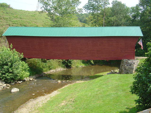
Photo - Sinking Creek Covered Bridge

The bridge spans 70 feet and was almost lost to a flood not long ago.

On the side of the bridge opposite the photo above, there’s a stone lined passageway for farm animals to cross the creek. The bridge is closed to vehicle traffic but open to the public to enjoy.

Photo - Sinking Creek Covered Bridge

The bridge is now open for foot traffic only. It would be a tight fit in a modern vehicle regardless.

The back roads are full of sights like this and I am often treated to them in my travels. I should probably stop more often to record them, but time is precious and I have miles to go before I sleep. When they coincide with great motorcycle rides I add them to my motorcycle pocket maps. There’s a pretty good chance this one will make the grade.

America Rides Maps

_______________________________________________________________________________

Wayne Busch

Wayne Busch - Cartographer


– Wayne Busch lives in Waynesville, NC, where he produces the most detailed and comprehensive and up-to-date motorcycle pocket maps of the Blue Ridge and Smoky Mountains to help you get the most of your vacation experience. See them here – AmericaRidesMaps.com