Wayne’s 2012 Blue Ridge Parkway Alternative Detours for Motorcycles

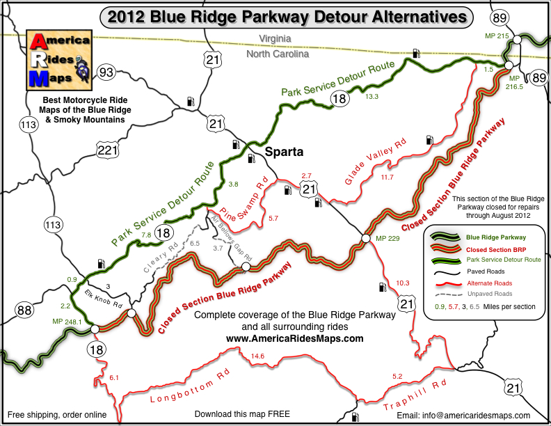
map-brp-detour-2012

Don’t get caught up in the traffic on the Park Service Detour Route 

These roads allow you to take the shortcuts (or the long way round) that will keep you riding!

Get your free copy! Instructions at bottom of page.

photo-parkway-closed-signs-nc18

30+ miles of the Blue Ridge Parkway is closed for most of 2012 near the NC / VA border. Detour via NC 18.


There is one significant detour on the Blue Ridge Parkway for 2012. To my surprise, it’s an extension of the detour that closed this middle section of the road near the North Carolina / Virginia border last year. While I found a much better detour route for motorcycle touring in 2011, 2012 is a real challenge in this very rural area where a paved road is a rarity.

photo-stone-walls-on-brp

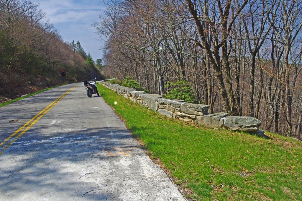
The Blue Ridge Parkway is closed for maintenance, repair, and rebuilding of the historic stone walls found in this 30+ mile section.

The Blue Ridge Parkway will be closed to traffic (including bicycles) in 2012 from Milepost 216.5 near Cumberland Knob to Milepost 248.1 for repair of historic stone walls (see photo). While the wall shown may not seem impressive, this is where the Blue Ridge Parkway was born back in 1930-40. The early masonry work you see on the overpasses, bridges, and walls was done by master masons brought over from Europe. A few third generation descendants continue this restoration work today.

photo-brp-barricade

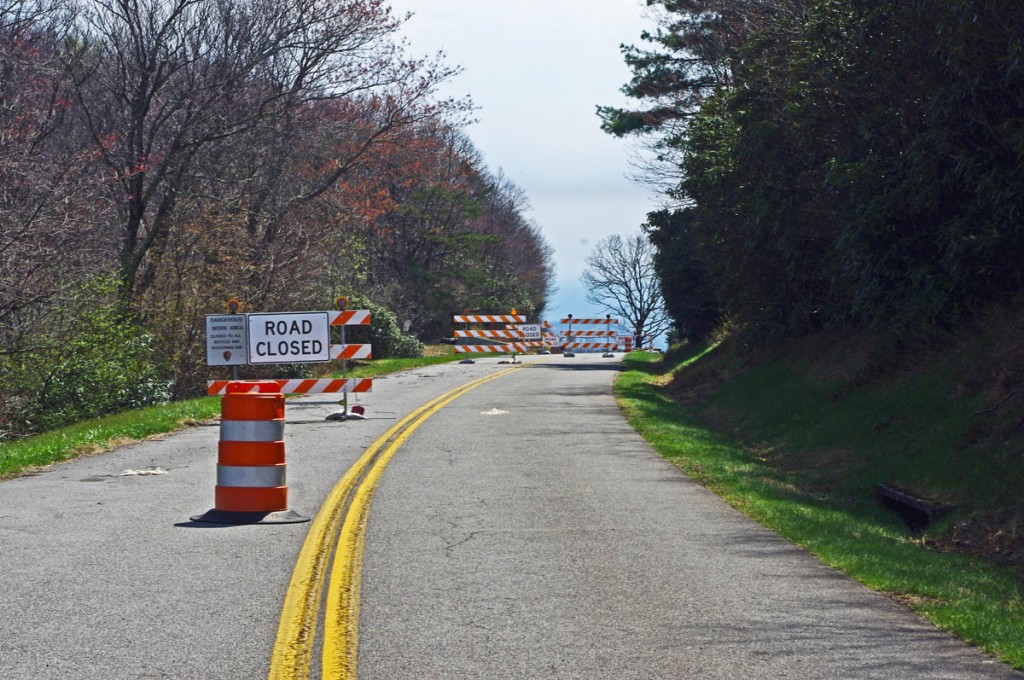
4 Road Closed signs, barrels, barricades, flashing lights, locked gate, - seriously closed!

Last year’s detour was north of the Blue Ridge Parkway through Sparta. I knew of a longer though much better route on the south side and produced a free downloadable map of it. It was fun. That route is included on the map. This years extension of the closure means there is no good way to bypass it completely on the south side of the Blue Ridge Parkway.

photo-sparta

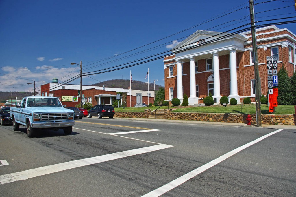
The Allegheny County Courthouse is the cornerstone of downtown Sparta. It's a small crossroads town, little of interest to me.

The 2012 Park Service detour route is simple, just one road – NC 18 which intersects the Blue Ridge Parkway at two points. It’s the easy, elegant solution passing through Sparta. While NC 18 could be a decent motorcycle ride, it’s curvy and rolling, the lack of paved roads in the area means it also carries all the traffic. Few cars and trucks are able to maintain the 55 mph speed limit and there’s always that one or two that can’t seem to get much above 40 mph and the lines back up behind them. It can be frustrating to ride when you can’t enjoy the curves at a proper motorcycle pace.

photo-sparta

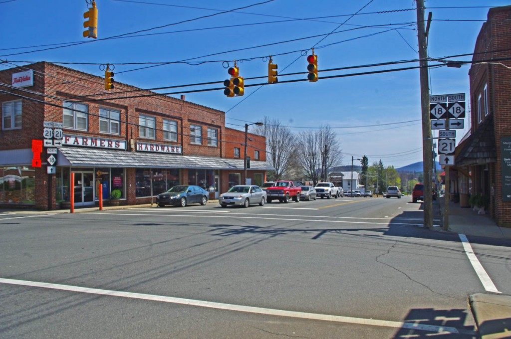
There - now you've seen Sparta. Don't feel like you've missed much if you bypass it.

Nor is there a compelling reason to go into Sparta. It’s a historic town at the crossroads of NC 18 / US 21, but I saw no places which looked enticing to eat at (one coffee shop), and the 2 gas stations require you to leave NC 18 and go a short distance on US 21. There’s a little museum, but miss Sparta and you won’t miss much.

map-brp-detour-2012

Download this map and print your copy or save it in your phone!

The roads show on the map offer alternatives to avoid most of the standard route and should save you some time. They will at least help you avoid getting caught up in any traffic that could get backed up on the official detour. For those on adventure bikes I’ve included a couple non-paved options that will let you get your wheels dirty on gravel roads.

Downloads:
Use http://americaridesmaps.com/downloads/BRP-detour-2012.pdf for a map you can print on a standard sheet of paper.

Use http://americaridesmaps.com/downloads/BRP-detour-2012.jpg for an image file you can store in your cell phone, iPad, or GPS.

__________________________________________________________________

Wayne Busch

Wayne Busch - Cartographer

Total Rider Tech Logo

Learn Total Control

– Wayne Busch lives in Waynesville, NC, where he produces the most detailed and comprehensive and up-to-date motorcycle pocket maps of the Blue Ridge and Smoky Mountains to help you get the most of your vacation experience. See them here – AmericaRidesMaps.com

Wayne is an advanced motorcycle instructor for Total Rider Tech teaching Lee Parks Total Control Advanced Rider Courses. Isn’t it time you looked into advanced rider training to ride more confidently and safely? It can transform your mountain riding experience.  Total Rider Tech

____________________________________________________________________

Motorcycle Detour for I-75 Slide near Jellico, TN

If you’re headed south to Daytona from the midwest, here’s a alternate route for motorcycles that will help you avoid the traffic – 

Coming home from a Total Rider Tech instructor training in Chicago yesterday, I ran into the roadblock on I-75 near the Tennessee / Kentucky state line. On the ride up I noted the rushing streams and rivers from recent storms and apparently Sinking Creek washed out and undermined a section of I-75 causing the southbound lane to subside and be closed at exit 160.

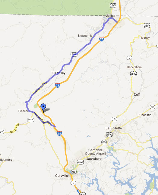
Even at 4 AM my cartographers instincts compelled me to look for an alternate route for my 2 wheeled friends that would get them away from the traffic that would now choke the “official” detour route which leads you down US 25W through La Follette.

Screenshot of Google Map

The "official" detour routs you east through La Follette. I've identified another way to the west that you should enjoy more.

Link to Google Map Route – http://maps.google.com/maps/ms?msid=211107090297552226361.0004bb0ddf208a14a207c&msa=0&ll=36.408573,-83.946533&spn=0.584666,1.489334

Pass through Jellico, keeping left at the intersection in town with US 25W. Follow TN 297 south as it twists and winds through Newcomb and Elk Valley. Turn left onto TN 63 (Howard Baker HWY) to reconnect to the interstate just below the slide area at exit 141. There are a couple gas stations at this exit. It’s actually a pretty engaging ride for the motorcycle rider that you can enjoy, plan on 30 minutes or so without other traffic.

I did not scout the “official” route, though it looks like it too has some tight and twisty bits at the north end. Get a few big semi’s on this road and traffic is bound to slow to a crawl.

__________________________________________________________________

Wayne Busch

Wayne Busch - Cartographer

Total Rider Tech Logo

Learn Total Control

– Wayne Busch lives in Waynesville, NC, where he produces the most detailed and comprehensive and up-to-date motorcycle pocket maps of the Blue Ridge and Smoky Mountains to help you get the most of your vacation experience. See them here – AmericaRidesMaps.com

Wayne is an advanced motorcycle instructor for Total Rider Tech teaching Lee Parks Total Control Advanced Rider Courses. Isn’t it time you looked into advanced rider training to ride more confidently and safely? It can transform your mountain riding experience.  Total Rider Tech

____________________________________________________________________

Motorcycles use caution – Rocks and Ice on the Blue Ridge Parkway

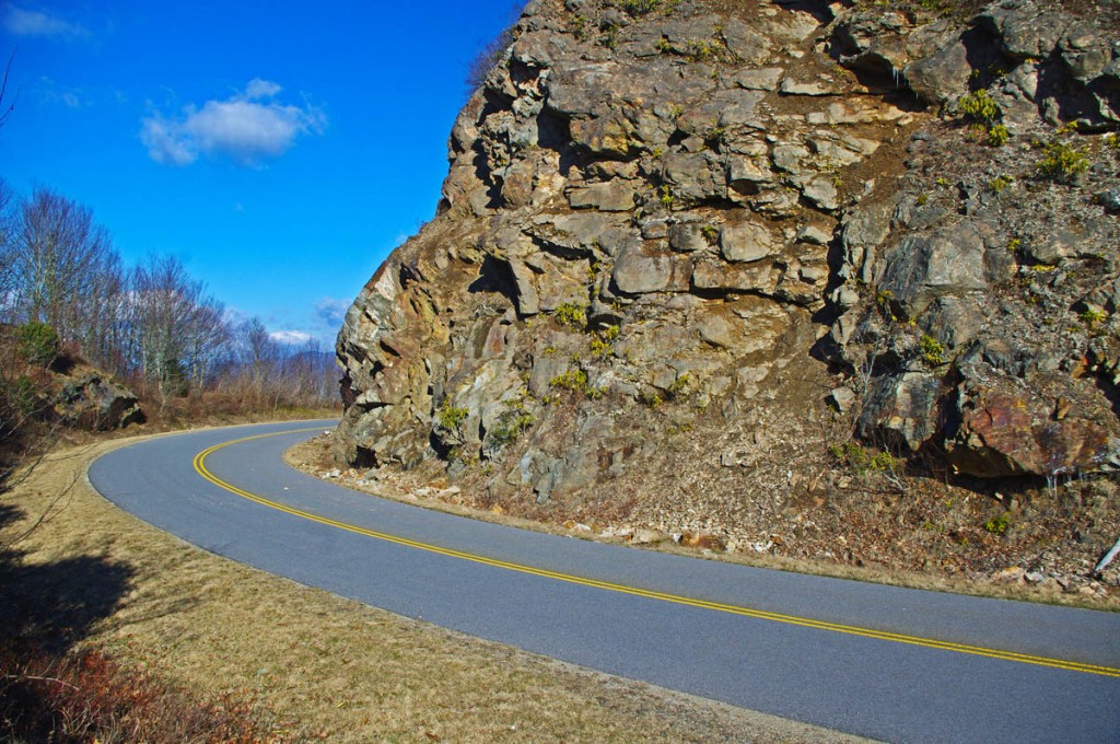
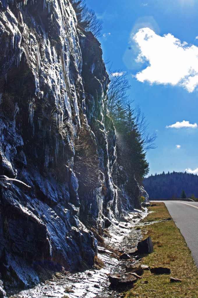
Early spring means early season motorcycle riding on the Blue Ridge Parkway, but nightly freezes cause lots of small rock slides.

photo-rocky-section-along-blue-ridge-parkway

Rocky sections along the parkway are prone to slides

The National Park Service has done an outstanding job keeping the Blue Ridge Parkway open through the winter season as much as possible. I can’t remember spending as much time up there on my motorcycle, usually I’m on skis this time of year.

photo-rocky-section-along-blue-ridge-parkway

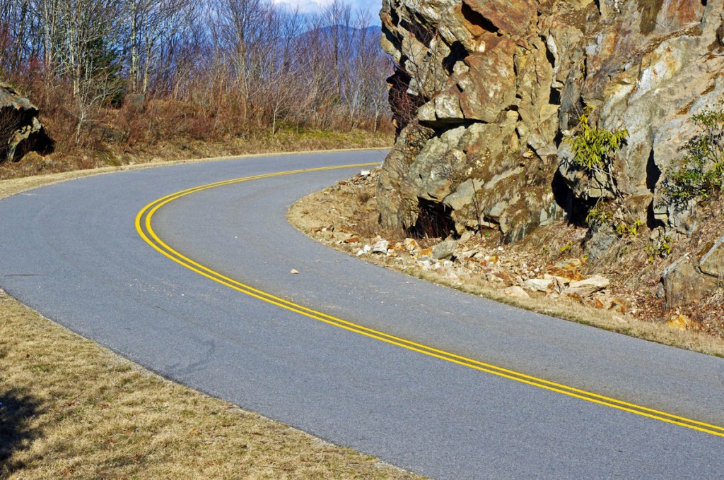
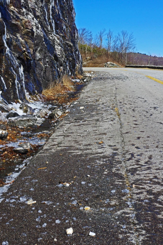
Rocks in the road are a common hazard

Warm and sunny days through this mild winter often find me pointing my wheels to the high country to take advantage of the nearly empty scenic road as it carves along the high ridge tops more than 5000 ft in elevation. Clear winter skies mean you can see into the surrounding states on the horizon, and the naked trees reveal what is hidden in the forested valleys spread out below.

photo-rocky-section-along-blue-ridge-parkway

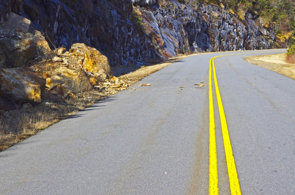
If you see evidence of a large slide, be alert for the smaller ones which often follow.

Once darkness comes, the temperatures dive below freezing and sheets of ice build on the wet rock faces that line the roadway. As the sun warms them the next day, the ice melts and rains down along the roadside, and the repetitive freezing and melting cracks and loosens the rocks above causing small slides.

photo-rocky-section-along-blue-ridge-parkway

When the sun hits the rocks, the ice quickly melts and falls.

The park service is quick to remove the bigger slides as they occur and you’ll see the piles of rock pushed to the roadside. Throughout the day the process continues and it’s not uncommon to find rocks in the road when the road carves along the rocky cliffs.

photo-rocky-section-along-blue-ridge-parkway

Rocks, ice, and water litter this section of the road

Be alert whenever you see exposed rock along the roadside, particularly when rounding shady curves. The road may be clear where the sun rarely reaches, but as you come into the sunny side there may be surprises in the road.

1 minute video shows how noisy and active the melting and falling ice can be. It’s worth a stop to watch the spectacle.

__________________________________________________________________

Wayne Busch

Wayne Busch - Cartographer

Total Rider Tech Logo

Learn Total Control

– Wayne Busch lives in Waynesville, NC, where he produces the most detailed and comprehensive and up-to-date motorcycle pocket maps of the Blue Ridge and Smoky Mountains to help you get the most of your vacation experience. See them here – AmericaRidesMaps.com

Wayne is an advanced motorcycle instructor for Total Rider Tech teaching Lee Parks Total Control Advanced Rider Courses. Isn’t it time you looked into advanced rider training to ride more confidently and safely? It can transform your mountain riding experience.  Total Rider Tech

____________________________________________________________________

Not Good Enough for 100 Smoky Mountain Motorcycle Rides

I’ve just released a map of the Smoky Mountains which shows nearly 200 motorcycle rides highlighted on it. Here’s one that won’t be on it, not good enough.

Photo-Grapevine-rd

A long section of bad pavement gives way to some great curves.

Yesterday, Jackie and I hopped on the bikes to follow up on a rumor of yet another good motorcycle ride tucked away in the mountains. Possibilities were high as the area northeast of Hot Springs, NC, is ripe with some of the most challenging and technical motorcycle rides you’ll find anywhere. The two lane roads that wind through these Tennessee mountains hug the edges of rushing creeks which snake the bottoms of shady valleys or carve steep steps through gaps and passes.

This is no place for the faint of heart nor the inexperienced motorcycle rider, though by the time you reach it those riders who won’t accept the challenge have already turned tail and run. Roads like NC 209, NC 208 probably give most riders as much thrill as they want. Only the adventurous consider these approaching roads just a warm-up and look to kick the ride up a notch with more challenging pavement.

photo-grapevine-rd

There are some very nice sections of Grapevine Rd, but overall, NOT GOOD ENOUGH!

I remembered Grapevine Road as soon as I turned on it. I’d been told by a couple people they thought it was a great motorcycle ride, but for some reason I couldn’t remember I’d not put it on one of my maps. I quickly figured out why.

The pavement was in such bad shape. Broken and potholed, sunken, bumpy, strewn with gravel, rocks, and loose asphalt. Add to that steep grades, devilish tight switchbacks, unforgiving drop-offs, and you’ve got a real handful, especially on a big bike.

The reason I’d come back to Grapevine Road is the last time, I made a quick judgment and turned around. Not having gone all the way through, I didn’t know how far until the pavement improved. I knew it had to get better as it approached more civilized areas to the south.

photo-jackie-thumbs-down

Jackie votes "thumbs down" on Grapevine Rd.

It was a long ride until the pavement smoothed out. Once it did, there was a decent section with some nice curves which become more sweeping and open, but little of scenic appeal.

Some may like this road, but there are so many better ones nearby, it’s the least appealing. Jackie gave it the “thumbs down”. No reason to recommend Grapevine Road.

_______________________________________________________________________________

Wayne Busch

Wayne Busch - Cartographer

Total Rider Tech Logo

Learn Total Control

– Wayne Busch lives in Waynesville, NC, where he produces the most detailed and comprehensive and up-to-date motorcycle pocket maps of the Blue Ridge and Smoky Mountains to help you get the most of your vacation experience. See them here – AmericaRidesMaps.com

Wayne is an advanced motorcycle instructor for Total Rider Tech teaching Lee Parks Total Control Advanced Rider Courses. It’s time you looked into advanced rider training to ride more confidently and safely, it will change your mountain riding experience. It worked so well for me I became an instructor! Total Rider Tech

_______________________________________________________________________________

See the map “Best Motorcycle Rides of the Smoky Mountains

Motorcycle Friendly Places – The Lodge at Copperhead, GA

Photo - fall at the Lodge at Copperhead

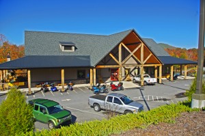
The Lodge at Copperhead - motorcycle friendly, motorcycle centered

The Lodge at Copperhead near Blairsville, Georgia is THE motorcycle friendly gateway to the southern Blue Ridge Mountains.

Located on north Georgia’s premier motorcycle ride, The Gauntlet, The Lodge at Copperhead makes for an ideal base camp to experience the outstanding motorcycle rides in the surrounding mountains in a posh and relaxing setting where everything is focused on the biker’s needs and wants. It’s all here.

While there are many motorcycle friendly places along the road, few rise to the caliber of The Lodge at Copperhead. The entire resort is centered on bikers and their needs.

photo- great room at the Lodge at Copperhead

Quality and comfort wait for you at The Lodge at Copperhead

Motorcycles and riders come first here. Michelle and her crew at the lodge are riders. They know what you like and deliver it.

After a long day on the road you want a nice place to come home to. The The Lodge at Copperhead delivers in spades. Motorcycles get the best parking, right up front. Walk in the front door and you’re immediately struck by the quality of the resort. The great vaulted room with it’s fireplace and comfortable accommodations invites you in, but the huge wrap-around porches soon draw you back outside to enjoy the relaxing atmosphere of the mountains.

photo - cabin at the Lodge at Copperhead

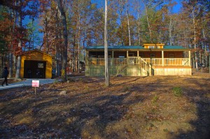
We stayed in the newest cabin - it was great!

After a quick look around, Jackie and I rode over to our cabin to get settled in. Michelle had put us in the newest of them and we loved it. The bikes went into the garage – how nice – covered and dry! The pine log cabins give you that rustic mountain feel with all the modern comforts you need, ideal for an extended stay. Enjoy the privacy, have a place to get away and just be together. Relax on the screened in porch, sit out on the large deck out back, or pull up a chair on the porch out front to watch the setting sunlight filter through the trees.

photo - Brad Betters tends the bar at the Lodge at Copperhead

Brad betters from The Biker Barn - imagine coming in from a tour and your guide morphs into your bartender. Sweet!

Once settled in, we walked back to the lodge to start the evening at the outstanding bar. Weekends mean entertainment at the lodge and tonight was the Halloween party. There’s always something going on, live music either inside or at the outdoor stage, and costumed characters already stalked the halls.

Brad and Lori Betters from The Biker Barn soon appeared, and Brad, fresh from a guided tour, slipped behind the bar to keep the libations flowing and the glasses topped. As most everyone has something in common, it’s a friendly place where it’s easy to meet others, talk bikes and rides, and enjoy the company of like-minded people. We braved the chill out on the porches for a while where several small groups clustered to share more intimate times with friends, but as it grew dark they migrated inside to join the festivities and a meal.

photo - dinner at the Lodge at Copperhead

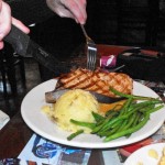
Tonights special - a slab of fresh swordfish.

The menu is well rounded with a great choice of fresh seafood. Jackie had the swordfish special, a huge steak, while I went with one of the beef variety. It came cooked to order, and the meals were superb. Service was attentive and quick, without being intrusive – like it should be.

After dinner the Halloween party started in the great room of the lodge. We danced, enjoyed the costume contest, and when we’d had enough retired to the quiet privacy of our cabin the the woods.

Sunday morning brought a heavy frost. We left the warmth of our cozy cabin and enjoyed breakfast in the dining room at the lodge, then headed out to ride the best sections of The Gauntlet once the morning sun warmed things up. The sun was bright, the skies blue, and the last of the fall leaves made the fabulous riding on Georgia’s best motorcycle roads the perfect cap to our weekend.

photo - halloween at The Lodge At Copperhead

Dolly Parton (a.k.a. Michelle) judges the Halloween men's costume contest.

The Lodge at Copperhead is ideally located and easy to get to. It sits at the heart of my map of the Best Motorcycle Roads in the North Georgia Mountains. You’ll feel welcome, well taken care of, be surrounded by people who are excited and enthused about motorcycles and riding.

The resort gives you a feeling of community and belonging. It’s entertaining and relaxing. All your needs are anticipated and met. Whether your looking for a vibrant social experience, a place your group can enjoy time both together and apart, or would like a private couples weekend on the bike, The Lodge at Copperhead delivers.

The Lodge at Copperhead

The Biker Barn

The Gauntlet

Get the map here – http://shop.americaridesmaps.com/9-The-Best-Rides-in-the-North-Georgia-Mountains-GA007.htm


_______________________________________________________________________________

Wayne Busch

Wayne Busch - Cartographer

Total Rider Tech Logo

Learn Total Control

– Wayne Busch lives in Waynesville, NC, where he produces the most detailed and comprehensive and up-to-date motorcycle pocket maps of the Blue Ridge and Smoky Mountains to help you get the most of your vacation experience. See them here – AmericaRidesMaps.com

Wayne is an advanced motorcycle instructor for Total Rider Tech teaching Lee Parks Total Control Advanced Rider Courses. It’s time you looked into advanced rider training to ride more confidently and safely, it will change your mountain riding experience. It worked so well for me I became an instructor! Total Rider Tech

_______________________________________________________________________________

 You’ll find The Lodge at Copperhead and all the other good biker roads on America Rides Maps #9 The Best Rides in the North Georgia Mountains 

Good Biker Roads – US 76 in Georgia – Motorcycle Map change

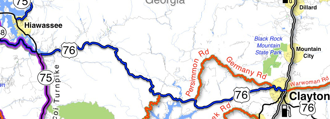
US 76 in Georgia between Clayton and Hiawasse is a good biker road.

It’s not one of “the best motorcycle roads” in north Georgia,

– but it’s a good motorcycle ride that rates high enough that I’ve decided to upgrade it on America Rides Maps #9 The Best Rides in the North Georgia Mountains to the “good connector” category.

map-image-US-76-Georgia

US 76 is now shown as a "good connector" on America Rides Maps (blue highlight). You can see there are other great rides which link to it along this section. I show you which roads are worth riding!

How I show the roads: I list “good connector” roads on my America Rides Maps highlighted blue to help you find the best ways to link together the best motorcycle rides which I show in red.  There’s no way I’ll ever rate this section of US 76 in Georgia as a great biker road (shown highlighted red on America Rides Maps) as it carries too much traffic. That’s what usually disqualifies or downgrades what would otherwise be great motorcycle rides – too much traffic.

Description of this section of US 76: The blue highlighted section of US 76 shown on the map is flatter and more open to the west, dotted with houses which thin out as you head east. It then enters a section of National Forest and makes a gentle climb over a mountain with a nice section of curves – nothing extreme, but a lot of them and they can be fun if you’re not caught behind slow traffic. Houses, then businesses start appearing as you near Clayton, the road is more twisty at this end.

Where can I get this map? #9 The Best Rides in the North Georgia Mountains

PS – current map owners may have noted something else – the purple highlighted roads. They are part of “The Gauntlet” motorcycle ride in georgia’s blue ridge mountains. (Trying something new, if it works out you’l see more of it – you know I’m constantly changing and improving America Rides Maps.

Comments? Did I make the right choice?

_______________________________________________________________________________

Wayne Busch

Wayne Busch - Cartographer

Total Rider Tech Logo

Learn Total Control

– Wayne Busch lives in Waynesville, NC, where he produces the most detailed and comprehensive and up-to-date motorcycle pocket maps of the Blue Ridge and Smoky Mountains to help you get the most of your vacation experience. See them here – AmericaRidesMaps.com

Wayne is an advanced motorcycle instructor for Total Rider Tech teaching Lee Parks Total Control Advanced Rider Courses. It’s time you looked into advanced rider training to ride more confidently and safely, it will change your mountain riding experience. It worked so well for me I became an instructor! Total Rider Tech

_______________________________________________________________________________

 You’ll find US 76 and all the other good biker roads on America Rides Maps #9 The Best Rides in the North Georgia Mountains 

Why so many great motorcycles rides in the Blue Ridge & Smoky Mountains?

Why are there so many great motorcycle rides in the mountains of the southeast? It’s a combination of geography, history and climate.

photo-black-mountains

One of my favorite Blue Ridge Parkway overlooks of the Black Mountain Range - highest in the east.

Geographically, the Blue Ridge and Smoky Mountains are very, very, old. Over the eons of time mountains once taller than Everest have weathered, eroded, and subsided to where their heights never much exceed 6000 feet in elevation. Compared to the lofty Rocky mountains in the midwest and the great Sierra Range on the far coast, those in the east are half the size.

While those western mountains soar to dramatic heights, it’s not without a cost. The lower elevations of the Blue Ridge Mountains make them accessible in every season. The softer, gentler topography of the mountains of the east makes building and maintaining roads to connect the valleys and towns more feasible.

photo-penland-post-office

Post office, Penland, NC - the Blue Ridge Mountains are rich with historic sights waiting to be discovered on your rides

History favors the mountains of the east as well. Settlement of our country began on the east coast and gradually moved inward as the population grew. Hill by hill, valley by valley, one small settlement at a time, the trails leading to them became the roads we now enjoy. More people, more time, more roads to connect them all together.

Finally there’s the climate, which is heavily influenced by altitude. The mild wet climate of the east promotes the growth of the dense forests and makes growing crops and farming much easier. The high dry desert climate of the west holds sparse vegetation, harsh conditions, and long cold winters.

Photo - morning on the Cherohala Skway

View from the Cherohala Skyway in early March - mild climate means year round riding in the Blue Ridge Mountains

Life gets even tougher as you go up into the high mountains of the west. Crops can’t grow at the extreme elevations, and were it not for mining and timber, those vast western mountains would be even less populated than they are now. Fewer people means fewer roads in general, and building and maintaing those that pass through the high places is much more difficult and costly.

Finally, the development of the Interstate Highway system works to favor of the high quality of the motorcycle rides in the east.  As more people used them to move into the west, the fewer local roads and passes there became more crowded. More people on fewer roads, many of which open for only part of the year, means more congestion and traffic in the west.

Photo-Charlies-Creek-Rd

Charlie's Creek Rd - typical of the wonderfully empty and inviting rides that abound in the Smokies

In the Blue Ridge and Smoky Mountains, when the traffic moved to the Interstate Highways, it relieved the pressure on the back roads. One of the greatest pleasures of riding a motorcycle in the Blue Ridge Mountains is the absence of traffic. The selection of two lane, empty, winding roads through beautifully scenic and historic places just never seems to end.

Recently back from my motorcycle touring in the mountains of California, then Colorado, my appreciation for the bounty of great motorcycle rides in the Smoky and Blue Ridge Mountains is refreshed. While I loved the dramatic change of scenery, the vast distances and scale of things to the west, one thing became crystal clear –

Photo-motorcycles-on-parkway

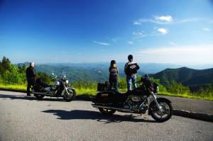
Bikers pause to admire the stunning views in the Smoky Mountains

Out west, you are on a mountain. It’s a harsher, more extreme landscape, you are a temporary interloper. In the Blue Ridge and Smoky Mountains, you are in the mountains. They cradle and surround you, it’s a comfortable and welcoming environment.

I enjoy my travels and motorcycle rides in other places, but there is simply nothing which comes close to the quality and quantity of outstanding motorcycle rides right in my back yard. While lots of bikers pay a visit, I doubt they much scratch the surface of the gold mine of motorcycle riding that exists here. I know, I’ve mapped hundreds of these great motorcycle rides, thousands of miles of two lane twisties, it’s what I do for a living.

Photo-motorcycles-on-the-dragon

Some roads, like the Dragon at Deals Gap are well known - a wealth of others await your discovery!

Half the population of the US lives within a days ride of the Blue Ridge and Smoky Mountains. It’s an easy trip to get here. It’s affordable and convenient. The motorcycle rides are beautiful, scenic, challenging, and the mountains are full of roads that thrill the motorcycle rider, more than can be visited in a season, let alone a single motorcycle vacation tour.

I’ve said it before, and continue to preach – “There are more great motorcycle rides in the Blue Ridge and Smoky Mountains than anywhere else”.  

Why not start planning your motorcycle trip right now?

Still need convincing? Visit www.AmericaRidesMaps.com to see just how many great roads there are waiting for you!

_______________________________________________________________________________

Wayne Busch

Wayne Busch - Cartographer

Total Rider Tech Logo

Learn Total Control

– Wayne Busch lives in Waynesville, NC, where he produces the most detailed and comprehensive and up-to-date motorcycle pocket maps of the Blue Ridge and Smoky Mountains to help you get the most of your vacation experience. See them here – AmericaRidesMaps.com

Wayne is an advanced motorcycle instructor for Total Rider Tech teaching Lee Parks Total Control Advanced Rider Courses. It’s time you looked into advanced rider training to ride more confidently and safely, it will change your mountain riding experience. It worked so well for me I became an instructor! Total Rider Tech

_______________________________________________________________________________

Colorado Mtn vs. Blue Ridge Mtn Motorcycle Rides

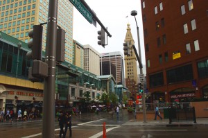
Photo-Denver

We based out of Denver. We spent the first afternoon in the city.

After almost 1000 miles in central California and nearly 850 miles in the beautiful mountains of Colorado I still say with confidence “There are more great motorcycle rides in the Blue Ridge & Smoky Mountains then anywhere else”.

I’ve been riding some fantastic scenic and challenging roads. I’ve loved every minute of it. I’d do it all over again (and probably will). There are some awesome motorcycle rides out there.

Still, when you compare them region by region based on quality, quantity, and concentration, I’ve yet to find anywhere that comes close to the great motorcycle rides in the mountains of the southeast.
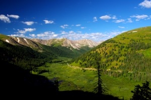
Photo-Independence-Pass

Independence Pass - the best portion of the 150+ miles between Leadville and Aspen

Fond memories of this Colorado trip are many. Were I to pick the most outstanding of them I’ve experienced I’d have to steer you first to Independence Pass which runs between Leadville and Aspen. It was so good I talked my partners into riding it twice.

Independence Pass is a good long motorcycle ride, 30 – 35 miles. The climb from one side of the divide to the other reaches over 12000 feet in elevation, twice the height you’ll find in the Smokies. Heck, in most cases you’re already higher than the Smoky Mountains from wherever you start a Colorado mountain motorcycle ride.

However, those extreme altitudes come with blessings and costs.
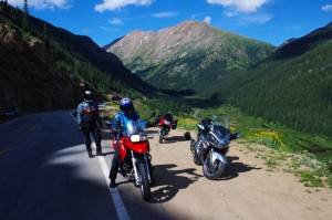
Photo-independence-pass

One of the most dramatic landscapes and toughest rides - Independence Pass

The blessings are many. One of the first things I noted was how clear the Rocky Mountain air is. Accustomed to the blue hazy skies that give the Smoky Mountains their name, the crisp Colorado air is like getting a new pair of glasses – you’re suddenly amazed at how much sharper and vibrant the world appears.

When you’re atop such lofty heights, that clear dry air and deep blue Colorado skies brings a sharp contrast and definition to every vista. I kept thinking it’s impossible to take a bad picture in the mountains of Colorado, it’s so dramatic!

Photo-trail-ridge-road

A break on one of the highest paved roads in the nation - Trail Ridge Road in Rocky Mountains National Park

Those high elevations also provide such commanding views, I’m sure you can see more than 100 miles from some points.

The landscape is dramatic. Imposing at times, stark at others, it’s a land of harsh extremes of searing heat and brutal winters, desolate isolation and hardscrabble existence.

Riding a motorcycle through such a rugged landscape at those elevations though, comes with a price.

The higher you go, the worse the road conditions get. Patches of snow in August hint at how harsh the conditions are. These roads are isolated and remote, and the season for repairs is short. You’re in for some rugged riding and a challenge to tackle at speed on a motorcycle.
Phot0-Leadville

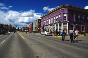
Leadville, CO - elevation 10,200 ft. It might have been the capitol of Colorado had the silver lasted.

The massive scale of the great mountains add to the challenge. Riding a narrow twisty bumpy dirty road with no guardrail and a sheer drop off the edge can be intimidating. Jackie spent the harrowing parts riding in the wrong lane if it hugged the cliff face.

All of the high roads are gated. They are closed to traffic most of the year as they are impassable. The season to enjoy them is short, and you won’t be the only one taking advantage of the narrow window of opportunity. Plan on running into local and tourist traffic, especially on weekends.
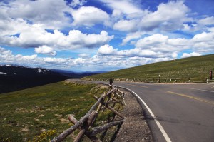
photo-trail-ridge-rd

Trail Ridge Road view nearly 12,000 ft. up.

Like in California, these mountain passes stand in isolation. It’s a vast landscape and the distance between roads is just as vast. You’ll spend as much time or more on long straight flat runs across the open prairie getting to the next great motorcycle ride.

I can appreciate the beauty of the high desert, the loneliness of the historic small towns,  the weathered remnants of a cowboy / miner history that dot the landscape even as you scream along with an open throttle to cover the distance, but any fool can twist a wrist into the triple digits in a straight line.
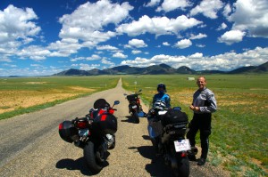
photo-eleven-mile

Near Eleven Mile - one long, rough, straight road across the prairie

Too soon, those rides between the rides become commutes for me, and I long to use anything but the center stripe of my tire rubber. I’m happiest the closer I get to the edge of my tires.

When it comes to non-stop curvy and scenic roads, you just can’t beat the motorcycle rides in the Blue Ridge and Smoky Mountains.

TRIP LOG:

Tuesday:

photo-water-tower

Historic Lodo in Denver - roof top water tank

We flew into Denver Tuesday and spent the afternoon in the historic Lodo section.

Rich in Victorian architecture, it’s the happening place within the great city.
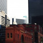
photo-Denver

Old meets new in the city

First stop was a brewery, and once our tanks were full, we spent the evening walking around and taking in the sights.

Wednesday:

We spent the morning doing some hiking near Evergreen.
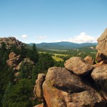
photo-3-sisters

View atop 3 Sisters

I had fun scrambling to the top of one of the 3 Sisters rock formations.

photo-elk-calf

Young elk

Early in the hike, we rounded a bend to find a huge heard of elk bedded down along the trail.

We picked up the bikes late in the afternoon, and made loose plans for the next few days of riding.

Thursday:

We decided to make it a day ride.
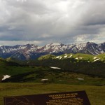
photo-trail-ridge-rd

Sleet and a few flakes up high

The first of the twisty roads was Bear Creek Canyon. Nice, but traffic tempered true enjoyment.

We then followed Clear Creek Canyon Rd and the Peak to Peak Highway to Estes Park.
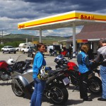
photo-gas-station

Break just past the middle of nowhere

Entering Rocky Mountains National Park, we cruised Trail Ridge Road.

Turning south, we followed 40 to Winter Park and took our lunch break.

We returned via Berthoud Pass  to the Interstate and made one more pass through Bear Creek Canyon on our way in.

Friday:

We loaded up the bikes for an overnight trip to Aspen and got an early start.
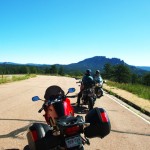
Photo-rampart-range-rd

Rampart Range Rd - finally, a place to exercise a sport bike!

We started with a very nice run through Deer Creek Canyon and I got the first chance to see just what my BMW rental motorcycle capable of.

It led to Pleasant Park Rd, then onto 285 to reach Pine Valley Rd / Deckers Rd.
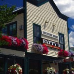
photo-fattys-pizza

Fatty's Pizza in Brekenridge

We passed the Rampart range and Pikes Peak with a loop south on 67 / Teller County Rd.

24 led us north again till we detoured out to Eleven Mile on SR 90.

Back on 24, we next veered north on 9 into Brekenridge for lunch.

photo-leadville

Stormy skies over Leadville

Next stop was Leadville. Coming into town we hit festival detours so we stopped to see what was going on.

We continued on 24 to Twin Lakes to pick up SR 82 – Independence Pass.

We arrived in Aspen at dinner time and found an affordable room in Snowmass to pass the night.

Saturday:
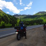
photo-Independence-pass

Paused in Independence Pass

By 07:30 we were on our way hoping to get to Independence Pass before the traffic to enjoy a “spirited” run on the wild road. We were not disappointed.

Riding a road like this at speed takes every skill you’ve got! It’s terribly rough and broken, gravel and rocks in the turns, bumps, patches, and potholes will have your full attention and you’d better be able to change your line quickly even when your knee nears the pavement.
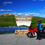
photo-motorcycle-independence-pass

My wife jackie - outstanding talented rider

We retraced our tracks to Leadville for a good breakfast, passed through Frisco, and got on the Interstate back towards Denver, then left it again at Idaho Springs for a run over Mt. Evans.

Saturday afternoon is not the time for a ride over Mt. Evans. It’s another rough and challenging high mountain road, tight and curvy, and choked with traffic. Bummer.
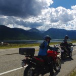
photo-stopped for a photo

Put that damn camera away and let's get going!

With a final pass through Bear Creek Canyon we returned to Denver.

I was sad to part with my rental bike, a BMW F800 S. I’m really starting to enjoy sport bikes and the beemer was not only quick, but comfortable for all day riding.

Sunday:

We flew home.

We’d hit some of the classic rides. I will go back again. I’m sure there are plenty more roads waiting.
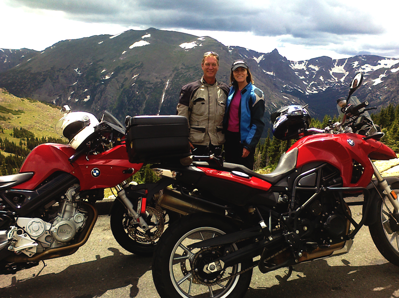
photo-independence pass-us

Wayne (author) and Jackie with our color coordinated rental rides. She really liked the BMW 650 GS riding it as if she'd had one for years. It felt like a chopper with ape hanger bars after riding the sporty F800 S, and I knew I'd made the right choice for me.

_______________________________________________________________________________

Wayne Busch
Wayne Busch – Cartographer
– Wayne Busch lives in Waynesville, NC, where he produces the most detailed and comprehensive and up-to-date motorcycle pocket maps of the Blue Ridge and Smoky Mountains to help you get the most of your vacation experience. See them here – AmericaRidesMaps.com 

Blue Ridge Motorcycle Touring – Natural Bridge, Virginia

In general, I avoid the touristy sights on my motorcycle travels as I get my kicks from the road. It’s the hundreds of great motorcycle rides in the Blue Ridge and Smoky Mountains I most enjoy, and that is best done with the kickstand up and the throttle open. I need a pretty good reason to park the motorcycle and go for a walk, and Natural Bridge, Virginia, is worth time the time to stop and see.

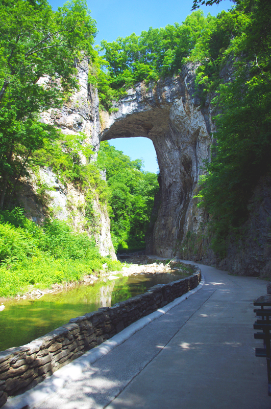
Photo-Natural-Bridge-view

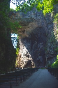
The Natural Bridge, a Viriginia landmark worth seeing.

Photo-Natural-Bridge-Hotel

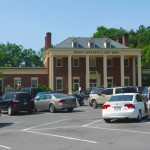
The Natural Bridge Hotel, a historic landmark

Natural Bridge has been around for a long time. It was already a tourist destination when Thomas Jefferson visited. This 200 foot high natural arch started as a cavern millennia ago. Over the eons erosion collapsed the majority of it leaving only the dramatic and inspiring rock formation that has drawn thousands of spectators over the last few centuries.

Photo-Natural-Bridge-Entrance-and-Gift-Shop

Natural Bridge Entrance and Gift Shop

This long history was part of the attraction for me. There are many early sketches and historic reports of the landmark displayed in the museum, it is part of our national heritage. This legacy though has come at the cost of commercialization of the natural attraction with manufactured ones added to woo the crowds and entice them to part with their dollars.

Photo-Cowboy-on-a-dinosaur

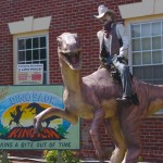
I managed to escape the Dinosaur Kingdom

We passed on the wax museum, the butterfly room, and most all the other man-made enhancements designed to lure the tourist. I was particularly amused by the hook for the “Escape from the Dinosaur Kingdom” with a statue of a cowboy riding a dinosaur. Easy to pass on that one, I’m quite satisfied with the Flintsone’s version of pre-history. Yabba-dabba dumb, but I’ll bet the kids like it as well as the Haunted Monster Museum.

Photo-Indian-village

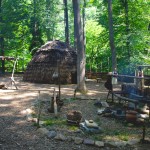
The Indian Village re-creation.

We did walk the trail to view the re-created native indian village, but it pales in comparison to the main attraction.

We paid $18 a piece for a ticket that gave us partial access to all the attractions. All we really wanted to see was the Natural Bridge. It’s a short walk and worth the time, and while I we could have seen all the other kitschy stuff, I felt my money well spent avoiding it.

A side trip to Natural Bridge, Virginia is an easy and pleasant ride from the Blue Ridge Parkway. Exit near the James River Visitor Center on US 501 (milepost 63.7) or VA 130  a couple miles north (milepost 61.6, and the better ride). Follow Us 501 / VA 130 to Glasgow, turning right on VA 130 to pass through the small town for another 4 miles or so. Don’t worry, you can’t miss it when you arrive.

Photo-Natural-Bridge-view

View of the other side of the Natural Bridge

Natural Bridge, Virginia

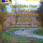
The Natural Bridge and other scenic attractions nearby are found on Map #1 of the 6 map Blue Ridge Parkway series of motorcycle pocket maps by America Rides Maps. Don’t miss all the great motorcycle rides in this area.

Image-map-cover

Great rides Near the Start of the Blue Ridge Parkway in Virginia

_______________________________________________________________________________

Wayne Busch
Wayne Busch – Cartographer
– Wayne Busch lives in Waynesville, NC, where he produces the most detailed and comprehensive and up-to-date motorcycle pocket maps of the Blue Ridge and Smoky Mountains to help you get the most of your vacation experience. See them here – AmericaRidesMaps.com 
Motorcycle the Blue Ridge Parkway – Peaks of Otter Lodge

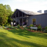
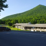
Photo-Peaks-of-Otter-restaurant

The Lodge and Restaurant at Peaks of Otter

The Peaks of Otter Lodge and Restaurant located at milepost 86 on the Blue Ridge Parkway offers the motorcycle traveler a serene and beautiful setting in the Virginia mountains –

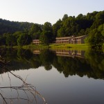
Photo-Peaks-of-Otter-across-lake

The setting is serene and relaxing

Jackie and I paid our first Blue Ridge Parkway motorcycle touring visit to the Peaks of Otter Lodge this past weekend and give it a good, though not outstanding recommendation. In some ways it outshines the other Blue Ridge Parkway lodges we’re familiar with, in others it falls just a little short.

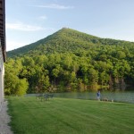
Photo-view-from-room-at-Peaks-of-Otter-Lodge

View from our room

Like the other Blue Ridge Parkway lodges, it immerses you in a remote and isolated setting. The nearest town is Bedford, less than 10 miles distant. The city of Roanoke is 25 miles further south on the Blue Ridge Parkway. The climb to reach the Peaks of Otter on the Blue Ridge Parkway is one of the most beautiful stretches of heavy woodlands in the Jefferson National Forest with glimpses of the surrounding mountains, the piedmont to the east, and the Shenandoah Valley to the west from the occasional overlooks.

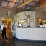
Photo-Peaks-of-Otter-lobby

The Lodge lobby is nice

There is a Blue Ridge Parkway Visitor Center nearby, a campground, hiking trails, historic sights, and a picnic area. Set on a  small lake in the bowl between two of the three peaks that give the area it’s name, the views on every horizon are stunning and often mirrored in the still waters of the alpine pond. A gentle trail offers a 20 minute walk around the lake to admire the hollow from all perspectives.

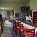
Photo-Peaks-of-Otter-bar

Extra points for having a nice bar

The Lodge does stand above the other parkway inns in it’s rich and welcoming appearance. The gift shop is attractive, and the bar is such a welcome touch after a hot days ride. The restaurant overlooks the lake with captivating, at times enchanting views of the natural panorama. Unfortunately the restaurant is where the Peaks of Otter Lodge fell short for us.

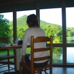
Photo-Peaks-of-Otter-Dining-view

Captivating views from the dining room

The food does not hold a candle to the that served at the Pisgah Inn, the Blue ridge Parkway Lodge south of Asheville, NC. Service was great, pleasant and attentive wait staff insured we got what we needed. The setting is outstanding with the views but the musak was some sad mix of nursing home dirge and “One Flew Over the Kukoo’s Nest” which distracted from the atmosphere. A place this nice deserves a chef, not a cook and a new set of CD’s for the player – please throw the Victrola in the deep part of the lake.

Photo-Peaks-of-Otter-lodging

Rooms are clean and comfortable

The facilities are well maintained and spotlessly clean. The grounds were  manicured with precision and care. The rooms were comfortable as were the beds, and quiet. It makes for a peaceful and relaxing stay.

Overall, a stay at the Peaks of Otter Lodge on the Blue Ridge Parkway is welcoming and relaxing on your motorcycle vacation. Taking the dining experience to the next level would make it outstanding.

ADD – I have one big request from the Park Service: It’s the 21st century, how about a little catch up? I don’t mind not having TV, it makes the rooms quiet and draws you out of them to embrace the natural experience and beauty. Cell service comes and goes with the breeze, and the wind rarely blows – you’ll be chucking quarters into the pay phone to reach the rest of civilization. Isn’t it time to embrace our new reality and offer a wireless network?

Other Reviews from Trip Advisor

_______________________________________________________________________________

Wayne Busch
Wayne Busch – Cartographer
– Wayne Busch lives in Waynesville, NC, where he produces the most detailed and comprehensive and up-to-date motorcycle pocket maps of the Blue Ridge and Smoky Mountains to help you get the most of your vacation experience. See them here – AmericaRidesMaps.com