Motorcycle Rides – Sights from the Road – Georgia

  • 9/30/2019

The road narrows to cut through this historic farm in Dial, Georgia.
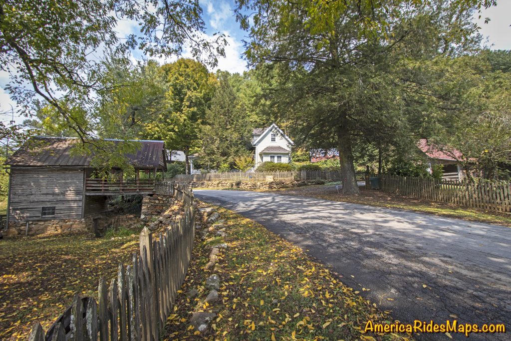
Roadside Farm in Dial, GA

Roadside Farm in Dial, GA

Hearing a car approaching I’d stepped to the grass to let it pass. Though I’d been through several times before, something today made me appreciate this spot along the Toccoa River where the road narrowed to thread through the old wooden buildings of the homestead. The approaching car slowed then stopped, the window down.

“Beautiful, isn’t it?” came a voice from the driver.
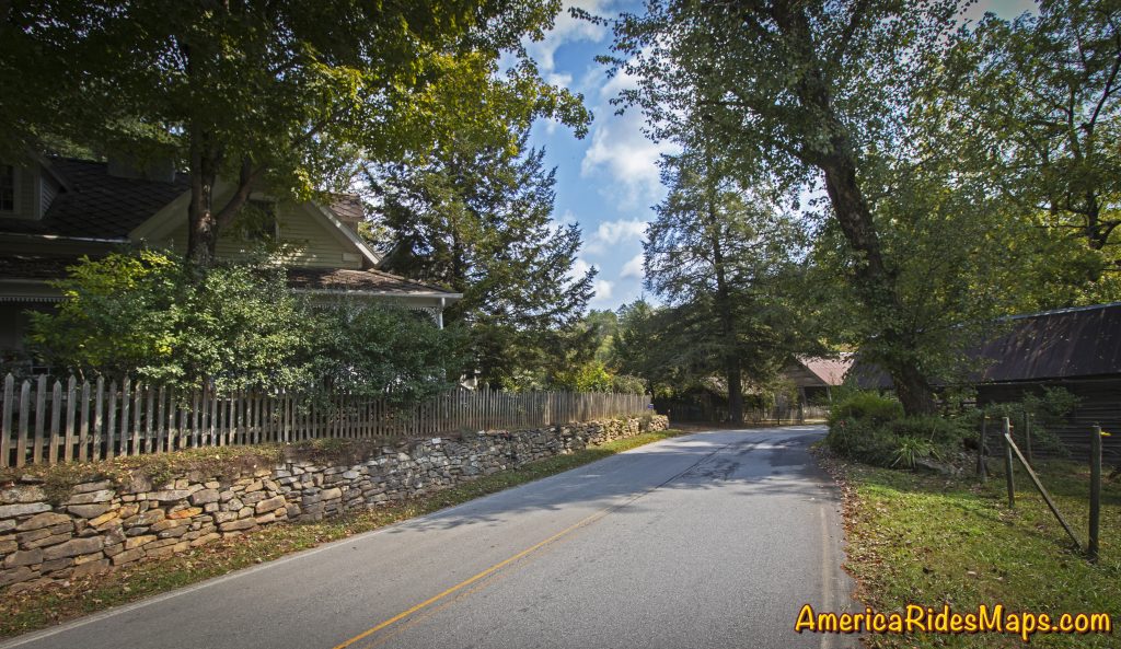
Roadside Farm in Dial, GA

Roadside Farm in Dial, GA

“I used to manage this farm” the woman in the car said to me. Her broad smile conveyed her pride.
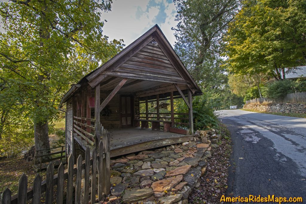
Roadside Farm in Dial, GA

Roadside Farm in Dial, GA

“Yes, it is beautiful, I just had to stop and take a few shots” I said, resisting the urge to snap a candid photo of her. It just didn’t seem polite.

She nodded acceptingly then added – “Watch out, there’s some crazy folks on this road”.

I smiled and added “I’m probably one of them”.
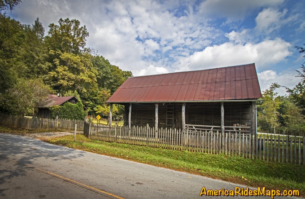
Roadside Farm in Dial, GA

Roadside Farm in Dial, GA

She laughed then continued on her way.

One of the most enjoyable things about cruising the backroads on your motorcycle are the wonderful sights and beautiful views you come across. The hundreds of roads that weave through the southern Blue Ridge Mountains hold many secrets. There are little spots here and there that touch us in special ways, appeal to things deep within us, reward us with emotions of appreciation and admiration. Don’t let them all pass by, savor the good ones.

Dial Road Interactive Map

Wayne Busch - AMERICA RIDES MAPS

Wayne Busch – AMERICA RIDES MAPS

Article by Wayne Busch, America Rides Maps

We produce detailed maps of the best roads to enjoy on your motorcycle travels in the Blue Ridge and Allegheny Mountains. Get the maps at America Rides Maps.com
Source: America Rides Maps Blog

Scenic Motorcycle Rides – Backbone Rock, TN

photo - motorcycle cruises through Backbone RockI went back to Virginia this weekend to revisit and explore some of the sights I’d passed while mapping the area

I’m pretty much all business when mapping – I only stop for three things; gas, to take notes, and when “nature” forces me to do so. Eating is a luxury typically left for the evening to make the most of the time on the road. This trip was to go back and savor some of the gems I’d just blown by previously.

One of my favorite loop rides is found near the point where North Carolina, Virginia, and Tennessee meet, a 103 mile jaunt that takes you on some of the twistiest and most scenic roads. It’s listed on America Rides Map #4 – “Great Roads Near Boone, Banner Elk, and Blowing Rock.

Heading south from Damascus, Virginia, on SR 133, you soon enter the National Forest in Tennessee and signs for Backbone Rock Park start appearing along the road. Round a curve and you find yourself zipping through the quick yet dramatic tunnel through Backbone Rock.

I stopped in to investigate.

The Empire Mining Company blasted through Backbone Rock in 1901 to lay train tracks for the Tennessee Lumber Company. Long gone, the rail bed became the roadbed which continues on towards Mountain City.

The ridge is about 75 feet high and 20 feet thick, though it narrows near the top. There is a steep trail from the parking area on the right just after you pass through the rock, though if you have any aversion to heights and walking near the edge of a cliff, you’ll never make it to the section of rock which straddles the road.

There are several hiking trails, picnic tables and campsites, a waterfall is about 0.4 miles on a foot trail. The area is popular for fishing and kayaking.

_______________________________________________________________________________

Wayne Busch

Wayne Busch - Cartographer

Total Rider Tech Logo

Learn Total Control

– Wayne Busch lives in Waynesville, NC, where he produces the most detailed and comprehensive and up-to-date motorcycle pocket maps of the Blue Ridge and Smoky Mountains to help you get the most of your vacation experience. See them here – AmericaRidesMaps.com

Wayne is an advanced motorcycle instructor for Total Rider Tech teaching Lee Parks Total Control Advanced Rider Courses. It’s time you looked into advanced rider training to ride more confidently and safely, it will change your mountain riding experience. It worked so well for me I became an instructor! Total Rider Tech

America Rides Map #4 – “Great Roads Near Boone, Banner Elk, and Blowing Rock

_______________________________________________________________________________

Sights From The Road – The Bear Barn

– 5/7/2009
One of the greatest things about getting off the main roads is the secret sights revealed, some beautiful, some awe inspiring, others curious. The mountains are full of old barns, enough to keep any “old barn aficionado” busy with his camera for the rest of his days. This one was unique though as it was also the curing rack for these couple of bear skins. They hung there for quite some time though they finally came down.This photo was taken from one of the roads from America Rides Maps – NC017 “The Best Roads South of Great Smoky Mountains National Park – EAST”. It’s just 10 minutes from the Blue Ridge Parkway, though you’d never know this hidden road was there looking down from above. That’s the beauty of my maps – they’ll lead you to sights and places few ever experience and put you on the most enjoyable roads found anywhere.

Wayne Busch - AMERICA RIDES MAPS

Wayne Busch – AMERICA RIDES MAPS

Wayne@americaridesmaps.com

>> Go To America Rides Maps.com http://americaridesmaps.com