RAM Finger Grip Mount for Motorcycles

  • 10/30/2018

Looking for a more permanent mount for my phone on my new motorcycle I came across the RAM Finger Grip mount. It’s a simple clamp to install on the bars and holds the phone securely on all 4 sides. The RAM ball mounts make it easy to reposition it just right.
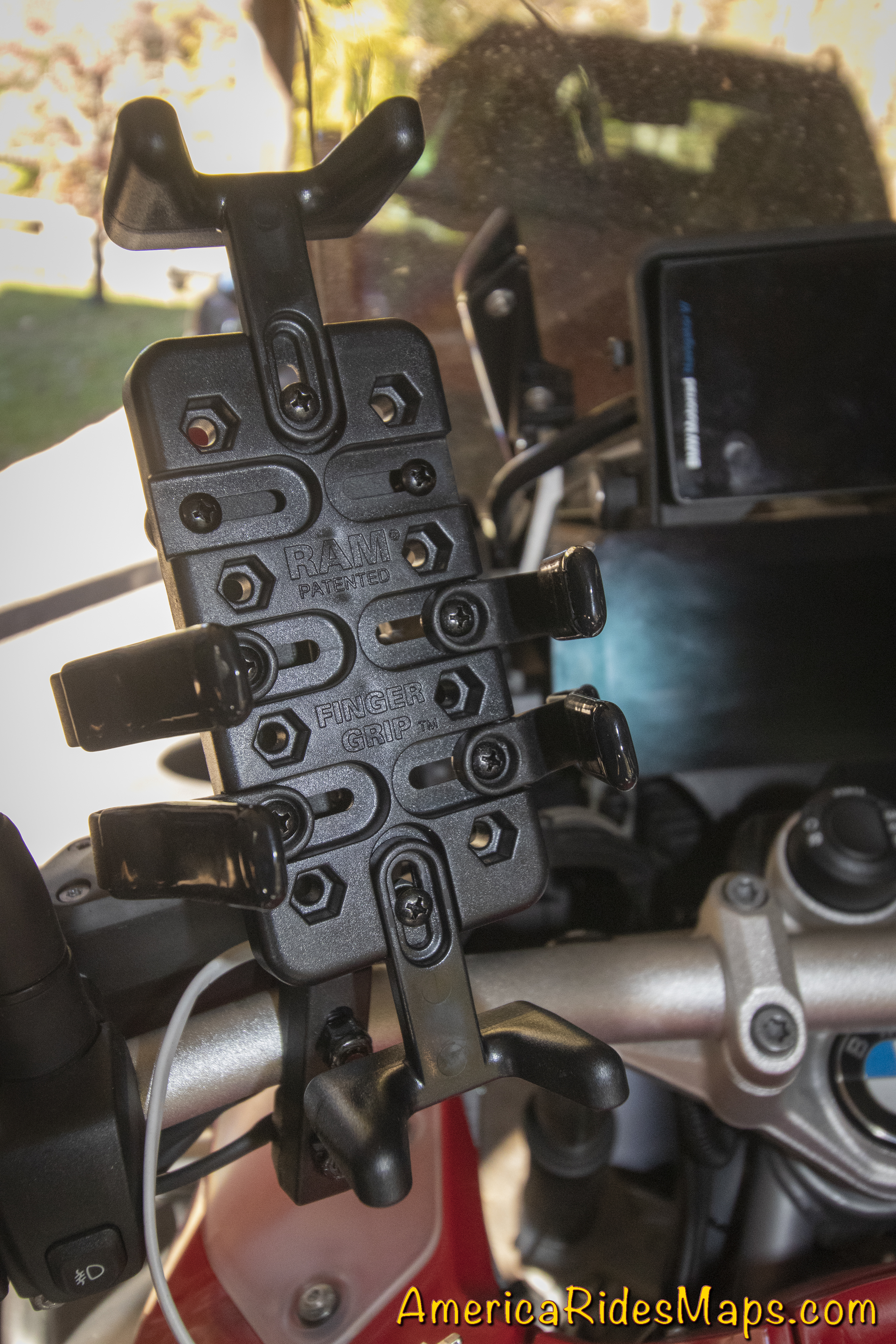
RAM Finger Mount

The trickiest part is custom fitting the phone to the mount, made a little more difficult as there were no instructions in the kit. It was easy to find a diagram online.
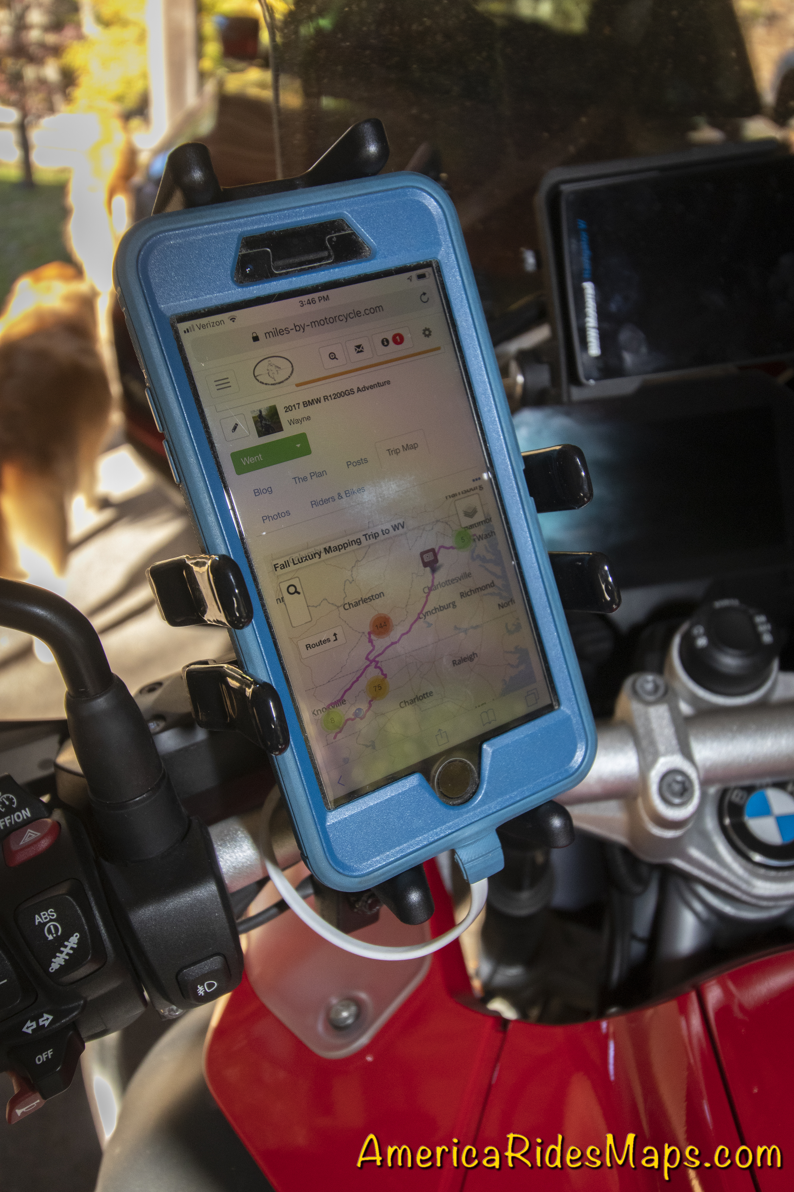
RAM Finger Grip Mount with phone

The kit comes with two sizes of top / bottom mounts, and 3 sizes of side clips so you can custom fit it to your device. It’s a matter of trial and error to find the correct location so the clips do not fall on buttons on the side of the phone. For my iPhone 8S in an Otter case it took the larger top / bottom clamps and the middle sized side clips.
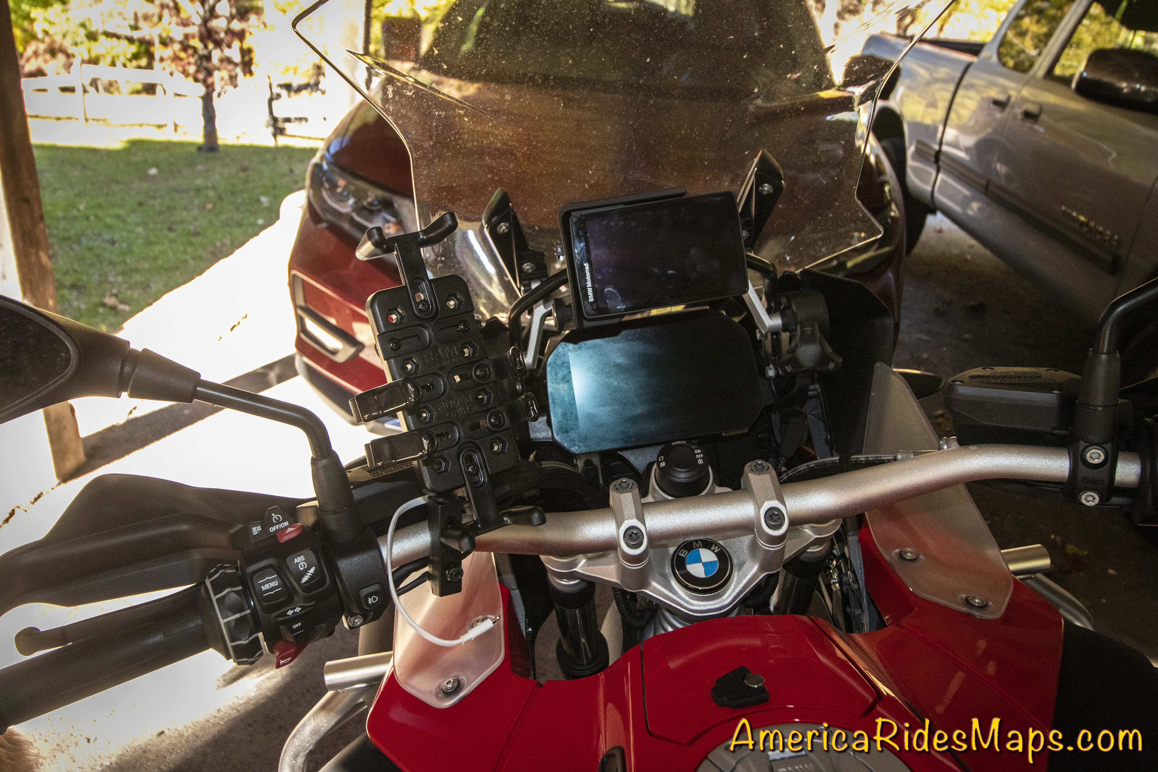
RAM Finger Grip Mount position

The mount seems very secure, the spring clips are quite robust and have vinyl covers to protect the device. It’s solid when clamped in. There are no screw clamps to deal with so it’s easy to pop the phone in and out of the mount to take photos.
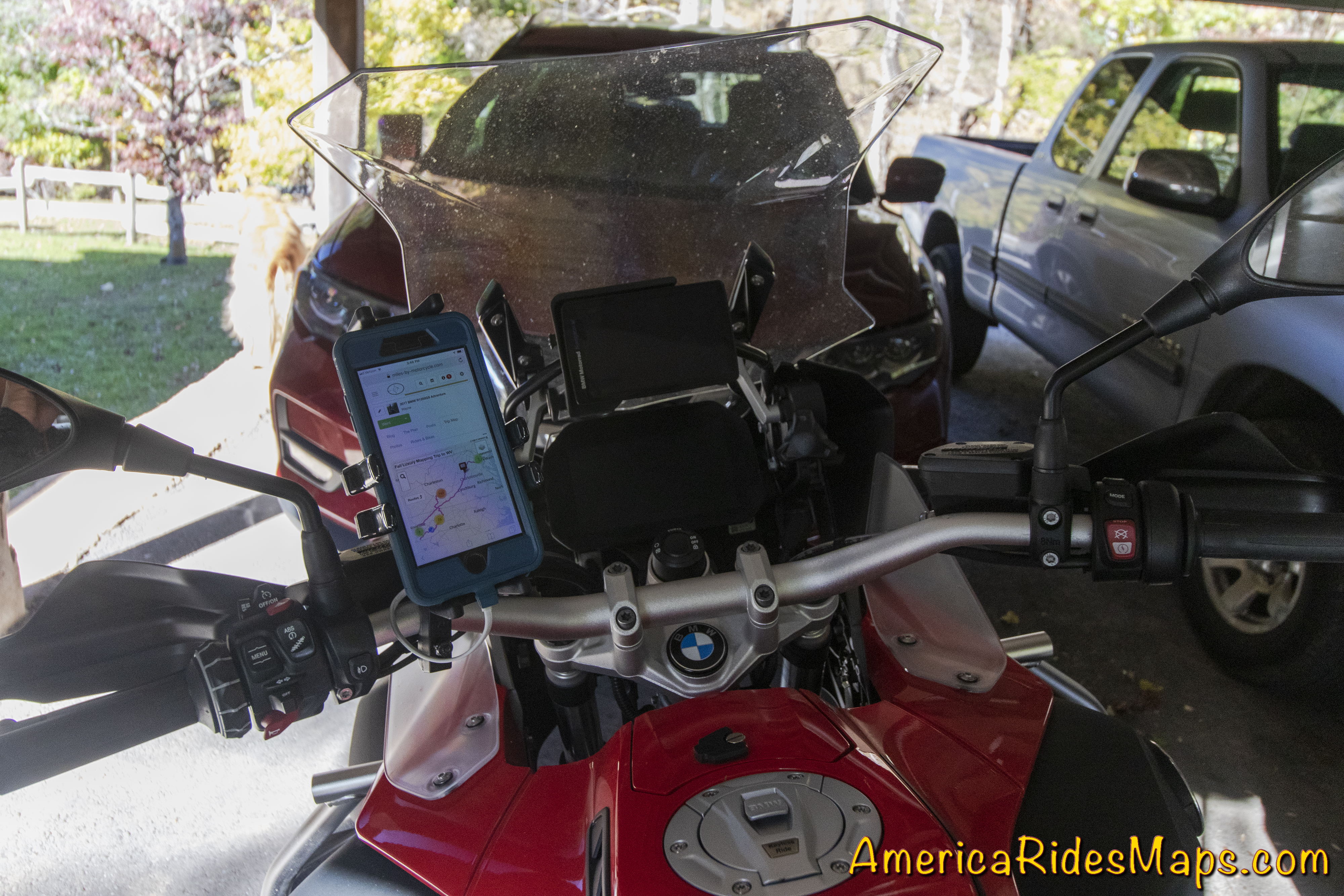
RAM Finger Grip Mount with phone

As this mount moved the phone closer in I was able to use existing wire harness clamps to run the accessory USB port so not zip ties were needed – nice and clean. A 6 inch phone cord makes the link to power.

Amazon.com: RAM MOUNTS (RAM-B-174-UN4U Combination Brake/Clutch Reservoir U-Bolt Mount with Universal Finger-Grip Holder: Automotive(http://miles-by-motorcycle.com/51999/links/64822/amazon-com–ram-mounts–ram-b-174-un4u-combination-brake-clutch-reservoir-u-bolt-mount-with-universal-finger-grip-holder–automotive)


Wayne BuschAmerica Rides Maps

Wayne Busch searches out the most entertaining roads in the Blue Ridge Mountains then records them on a series of maps which span the Southern Mountains.

There are more great motorcycle roads in the Blue Ridge and Smoky Mountains than anywhere else. I highlight the best roads then show you the best ways to connect them together into rides. More than a decade of searching has discovered more than 1000 good roads to enjoy. We continue to search so you may enjoy.

Review the maps, order online hereAmericaRidesMaps.com

Source: America Rides Maps Blog @ Miles-by-Motorcycle.com
https://miles-by-motorcycle.com/51999/blog/64817/ram-finger-grip-mount-for-motorcyces

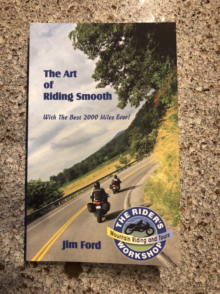
Book – The Art of Riding Smooth

  • 10/12/2018

The Art of Riding Smooth
by Jim Ford

Get this new book!

Book - The Art of Riding Smooth, by Jim Ford

The Art of Riding Smooth by Jim Ford is simply the best work on the techniques of riding in the mountains well. It’s an easy and fun read with simple to understand methods you can learn to become a safer and more confident rider. For more than a decade Jim has been teaching riders the advanced and unique techniques needed to master the challenges Appalachian mountain riding throws at you. He enthusiastically shares some of his best hidden roads and a wealth of info on historic sights, restaurants, favorite places to stay, and little known attractions. This is a great book, you should have it!

Get the book here –

https://www.amazon.com/Art-Riding-Smooth-Best-Miles-ebook/dp/B073D251MC

Jim Ford has been teaching mountain riding through The Riders Workshop for more than a decade. Learn more here –

http://ridersworkshop.com


Wayne BuschAmerica Rides Maps

Wayne Busch searches out the most entertaining roads in the Blue Ridge Mountains then records them on a series of maps which span the Blue Ridge Mountains.

There are more great motorcycle roads in the Blue Ridge and Smoky Mountains than anywhere else. I highlight the best roads then show you the best ways to connect them together into rides. More than a decade of searching has discovered more than 1000 good roads to enjoy. We continue to search so you may enjoy.

Review the maps, order online hereAmericaRidesMaps.com

Source: America Rides Maps Blog @ Miles-by-Motorcycle.com
(http://miles-by-motorcycle.com/51999/photos/52118/untitled/63712/the-art-of-riding-smooth)

I am beginning to think Georgia does not want to be mapped…

I am beginning to think Georgia does not want to be mapped. For more than a year now I have been trying to complete the most comprehensive and detailed map of the northeast corner of Georgia’s unpaved roads and trails. Things could have gone better at times.

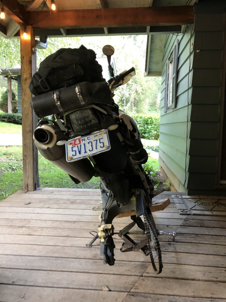
Wheel to shop

I’ve made tremendous progress, I can see the light at the end of the tunnel, but it’s been a costly process. It takes about 2 hours for me to get to heart of the map(s) from my home in western NC. I’ve both stayed locally in GA and strategically commuted to knock out sections of it. I’m so bored with the ride down and worse yet, the ride back. I think this will be the 5th rear tire on this project. I’ve had GPS fails requiring replacement and re-riding of the areas, lost a 1 month old iPhone with all my notes and photos, replaced brake pads, sprockets, chain, and had to expand my carrying capacity for all the tools and spare parts I’m coming to need. Today was yet another costly learning experience. I made a judgement error.

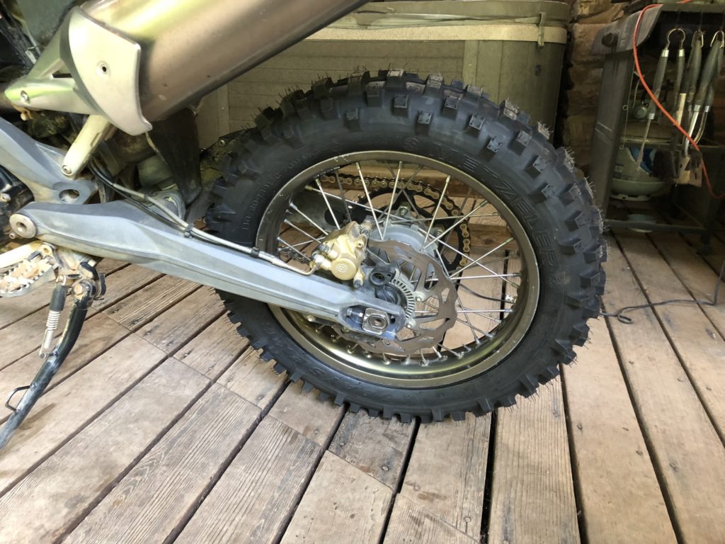
I’d just replaced my rear tire on the trail bike, a BMW G650 XChallenge with another aggressive off-road tire. It was exactly what I wanted for the job. A week or so after the hurricane followed by a week long rainy spell I expected sloppy and muddy conditions at best. I dropped my rear tire pressure from 29 PSI to 20 PSI, checked the front was holding steady at 16 PSI, I’d had good performance with these settings many times prior. I was ready.

Tire - Metzler Six Day

I needed an epic day to complete the map, essentially edge-to-edge across both sides of the map. Most of it was expected to be easy forest roads, though I had some difficult parts on the list. I set out early, as soon as there was enough light to see for the long drone south on the highways.
This new tire felt odd, but that’s not unusual with these knobby tires. Each feels different. They take a bit to scrub in and square off on the road before things settle down to a predictable performance. I reached my 120 mile tank range and stopped for gas.My rear tire overheated from the long run on the highways.

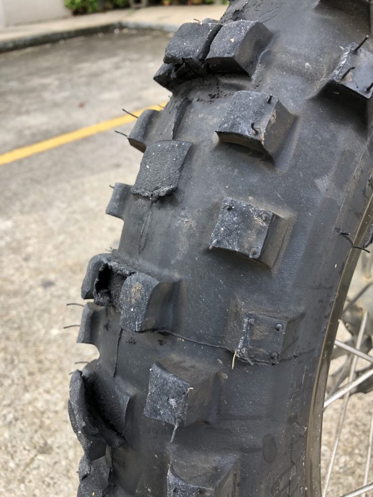
melted tire

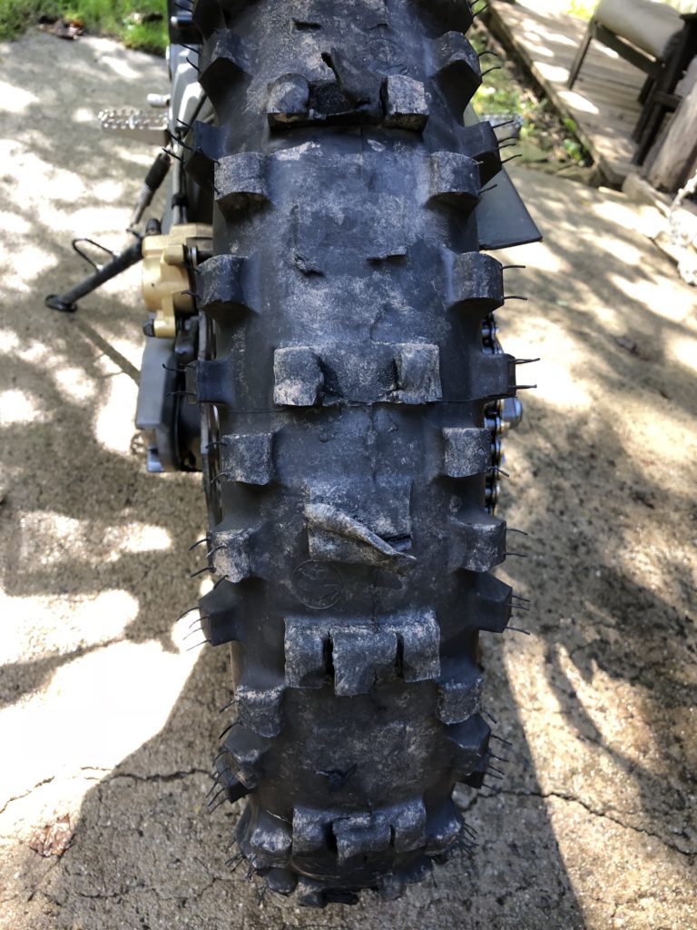
The tire was coming apart, melting. It was so hot I could smell it. Half the center knobs were gone, others peeling away from the carcass in shreds. While I’d had no issues running other brands of tires at off-road pressures this one did not tolerate it at all.
I stopped, called home to let my wife know to watch my progress on her tracker program as limped home. I aired the tire up and hit the highway with fingers crossed her help would not be needed. I kept to just below the speed limits and made stops to let the tire cool down periodically.

I made it home with not much of that tire left. Sadly I pulled the wheel and headed for the dealer to get the tire replaced. Another day lost, another adventure added to the list.

Tire at the end of the ride

Melted Tire

Perhaps it is “the hand of providence” telling me to take my time, look harder, there’s more to be found, don’t rush too early for the finish line. I do keep finding new roads, new trails, places I’d missed earlier or discovered through research.


Wayne BuschAmerica Rides Maps

Wayne Busch searches out the most entertaining roads in the Blue Ridge Mountains then records them on a series of maps which span the Blue Ridge Mountains.

There are more great motorcycle roads in the Blue Ridge and Smoky Mountains than anywhere else. I highlight the best roads then show you the best ways to connect them together into rides. More than a decade of searching has discovered more than 1000 good roads to enjoy. We continue to search so you may enjoy.

Review the maps, order online hereAmericaRidesMaps.com

Source: America Rides Maps Blog @ Miles-by-Motorcycle.com

https://miles-by-motorcycle.com/51999/blog/63288/i-am-beginning-to-think-georgia-does-not-want-to-be-mapped—

Motorcycles use caution – Rocks and Ice on the Blue Ridge Parkway

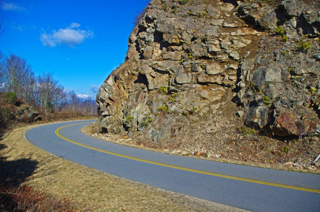
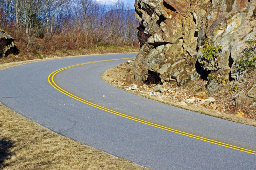
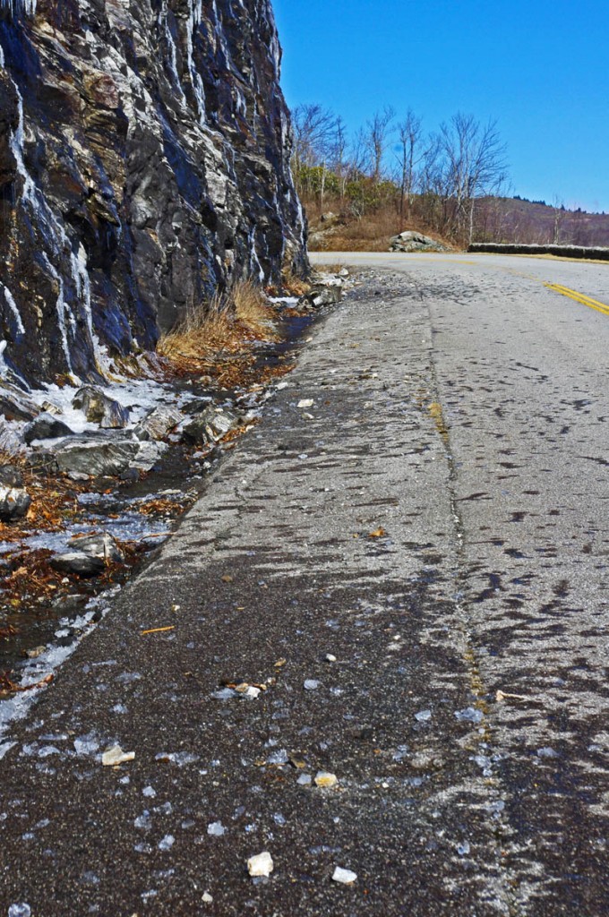
Early spring means early season motorcycle riding on the Blue Ridge Parkway, but nightly freezes cause lots of small rock slides.

photo-rocky-section-along-blue-ridge-parkway

Rocky sections along the parkway are prone to slides

The National Park Service has done an outstanding job keeping the Blue Ridge Parkway open through the winter season as much as possible. I can’t remember spending as much time up there on my motorcycle, usually I’m on skis this time of year.

photo-rocky-section-along-blue-ridge-parkway

Rocks in the road are a common hazard

Warm and sunny days through this mild winter often find me pointing my wheels to the high country to take advantage of the nearly empty scenic road as it carves along the high ridge tops more than 5000 ft in elevation. Clear winter skies mean you can see into the surrounding states on the horizon, and the naked trees reveal what is hidden in the forested valleys spread out below.

photo-rocky-section-along-blue-ridge-parkway

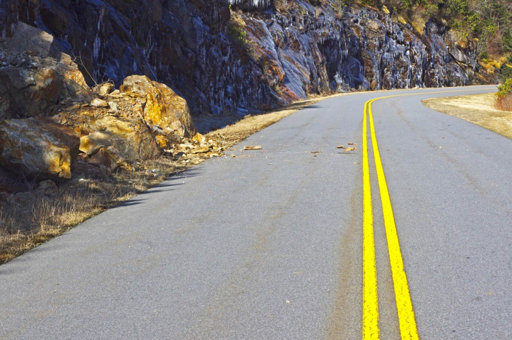
If you see evidence of a large slide, be alert for the smaller ones which often follow.

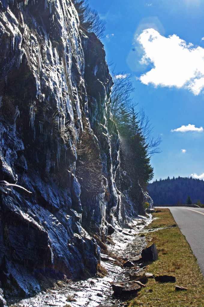
Once darkness comes, the temperatures dive below freezing and sheets of ice build on the wet rock faces that line the roadway. As the sun warms them the next day, the ice melts and rains down along the roadside, and the repetitive freezing and melting cracks and loosens the rocks above causing small slides.

photo-rocky-section-along-blue-ridge-parkway

When the sun hits the rocks, the ice quickly melts and falls.

The park service is quick to remove the bigger slides as they occur and you’ll see the piles of rock pushed to the roadside. Throughout the day the process continues and it’s not uncommon to find rocks in the road when the road carves along the rocky cliffs.

photo-rocky-section-along-blue-ridge-parkway

Rocks, ice, and water litter this section of the road

Be alert whenever you see exposed rock along the roadside, particularly when rounding shady curves. The road may be clear where the sun rarely reaches, but as you come into the sunny side there may be surprises in the road.

1 minute video shows how noisy and active the melting and falling ice can be. It’s worth a stop to watch the spectacle.

__________________________________________________________________

Wayne Busch

Wayne Busch - Cartographer

Total Rider Tech Logo

Learn Total Control

– Wayne Busch lives in Waynesville, NC, where he produces the most detailed and comprehensive and up-to-date motorcycle pocket maps of the Blue Ridge and Smoky Mountains to help you get the most of your vacation experience. See them here – AmericaRidesMaps.com

Wayne is an advanced motorcycle instructor for Total Rider Tech teaching Lee Parks Total Control Advanced Rider Courses. Isn’t it time you looked into advanced rider training to ride more confidently and safely? It can transform your mountain riding experience.  Total Rider Tech

____________________________________________________________________

Popular Blue Ridge Parkway feature destroyed

photo-sign-at-the-highest-point-on-the-Blue-Ridge-Parkway

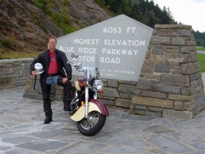
The sign at the highest point on the Blue Ridge Parkway

What a surprise as our motorcycles rounded the bend on my favorite section of the Blue Ridge Parkway July 4 to find a familiar and highly visited overlook feature missing. We had to stop for a closer look.

It’s one of those classic photo opportunities on your Blue Ridge Parkway motorcycle ride – the highest point of the 469 mile roadway is prominently marked with a large sign at the popular overlook. You can pull your bikes right in front of it and get that great picture to commemorate your visit – until now. That sign is missing.

Photo-sign-destroyed-on-Blue-Ridge-Parkway

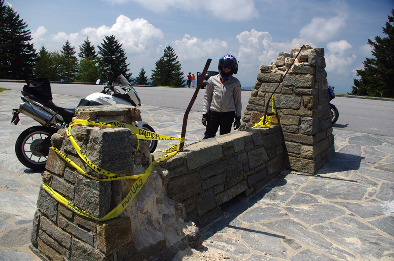
It used to be a classic photo spot - pull your bikes in front of the sign and get the picture for your scrapbook

My first though was it had been struck by a car. It would have had to be a big car though, at least an SUV, maybe even a small truck, but the evidence did not show signs of a collision.

Photo-sign-destoryed-on-Blue-Rdige-Parkway

Surveying the damage we speculate the sign was pushed over. Look at the bent steel supports, and the damage to the rock pillars up high.

The damage was too high, and it appeared more as if it had occurred from the top down. The twisted steel and fractured rock indicated the sign had probably been forced down by high wind, though it must have been one heck of a blow. Perhaps it was a tornado or one of those micro-burst events. At over 6000 feet elevation you can experience some pretty severe weather.

Photo-view-from-highest-point-on-the-Blue-Ridge-Parkway

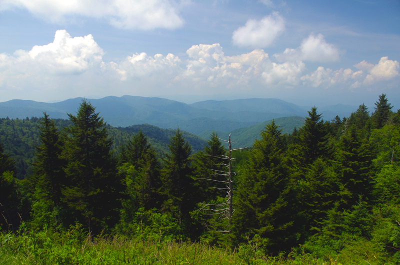
The view from the highest point on the Blue Ridge Parkway.

Still, this sign has stood through harsh conditions for many years. I’m glad I wasn’t up high when this damage occurred. We’ve had extraordinarily unusual weather in the Smoky Mountains this year. Until now, I would have told you tornados don’t happen in the mountains. Great Smoky Mountains National Park has experienced a couple, you can still see the twisted steel tower in the middle of the lake at Deals Gap left when that cyclone blew through, and  I no longer know what to expect. Times are changing and the southeast has been pummeled with twisters this year.

If it’s the end-of-times, I’m going out riding my motorcycle. Watch me flash by in the twister like the wicked witch in the Wizard of Oz. See you on the yellow brick road.

You’ll find this outstanding motorcycle riding area featured on America Rides Maps “The Best Motorcycle Rides South of Great Smoky Mountains National Park

_______________________________________________________________________________

Wayne Busch
Wayne Busch – Cartographer
– Wayne Busch lives in Waynesville, NC, where he produces the most detailed and comprehensive and up-to-date motorcycle pocket maps of the Blue Ridge and Smoky Mountains to help you get the most of your vacation experience. See them here – AmericaRidesMaps.com 

Riders Roost Restaurant – Motorcycles stop here on the Blue Ridge Parkway

Image - Riders Roost Restaurant sign

Riders Roost Restaurant - watch for this sign

Joanne finally got the new Riders Roost Restaurant signs up after a car took out the old ones on the icy winter roads leading down from the Blue Ridge Parkway at Soco Gap (US 19) near Maggie Valley (LINK TO MAP). Just a little more than a mile downhill from the Blue Ridge Parkway exit heading east, the Riders Roost Restaurant offers the motorcycle traveler and good meal in a beautiful setting convenient to your travels.

I’d hoped to catch Joanne in the kitchen, but with such outstanding weather over the weekend, she was out on her Harley enjoying it like the rest of us. Can you blame her?

Photo-Riders-Roost-Restaurant

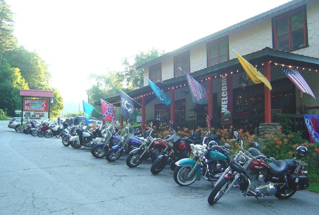
Riders Roost Restaurant - Great food, Great view, Great location

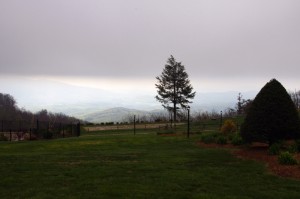
I highly recommend you grab a nice bite to eat and maybe a cold brew on the back porch with it’s commanding view of the mountains. It’s one of my favorite places when the fall colors come, they’re spectacular from the porch.

In addition to the Riders Roost Restaurant, Joanne has her Fireside Cottages available just downhill. Such a nice package – a great place to stay with good food  just minutes from the best section of the Blue Ridge Parkway surrounded by more outstanding motorcycle riding. What could be better?

Photo - motorcycles at the Riders Roost Restaurant

Biker friendly Riders Roost Restaurant is obviously the place to be!

Riders Roost Restaurant

Fireside Cottages

_______________________________________________________________________________

Wayne Busch
Wayne Busch – Cartographer
– Wayne Busch lives in Waynesville, NC, where he produces the most detailed and comprehensive and up-to-date motorcycle pocket maps of the Blue Ridge and Smoky Mountains to help you get the most of your vacation experience. See them here – AmericaRidesMaps.com 

100 miles out on the Blue Ridge Parkway, my motorcycle was stuck in top gear

I’d dropped the bike. Pulling out from a back road along the Blue Ridge Parkway, a car suddenly appeared out of the dense clouds rounding a curve and I stalled the engine on the incline.  It went down hard on it’s left side breaking a turn signal lens and mangling the clutch and shift levers. Minor damage considering I’d avoided the car, but it would prove enough to make the trip home a challenge.

Photo - View From Switzerland Inn

The nicest weather came just before my meeting at the Switzerland Inn - http://SwitzerlandInn.com

Already modified from a prior incident (click to read about that debacle) the shift lever was now wedged beneath the side stand. The clutch lever flopped precariously but it was working, and with a decent foot effort I managed to pry the shifter upwards and snick through the gears to get moving again towards Asheville. It was when I tried to downshift for a curve the real problem became apparent. I could not shift into a lower gear.

Thankfully I was on the Blue Ridge Parkway, uninterrupted in its 469 mile length. No stops, no traffic lights, it would be a manageable inconvenience to be restricted to a single gear. The problems would come when I left the parkway and entered the city traffic. At least I’d have plenty of time to come up with a plan on how I’d get home without slowing or stopping.

Photo - bad weather on the Parkway

It's days like this a waterproof camera comes in handy on the Blue Ridge Parkway

Trying to bend the shift lever into a more useful shape was a last resort. Previously bent once, it would likely break if I stressed it any more. I decided I’d need to find a way home where I would not need to stop even once.

Traffic was light. The weather was already miserable at these high elevations and would continue to deteriorate as a strong front moved in. The wind gusted powerfully, rain squalls spit at me, and I was enveloped by thick clouds as I passed by the signs for Mt. Mitchell, then Craggy Gardens. The low fuel light came on as I drew near to Asheville but I knew there was no way I could negotiate traffic, stopping was not an option. I decided I must go on.

In 20 miles or so I’d reach the US 276 exit south of Waynesville. If I could get off the parkway without stalling, then make it down through the switchbacks on the steep incline, there would be but one traffic light to gamble on to reach home.

Cresting the rise that led into Bethel, I saw the light blink from red to green and rolled on the throttle to cleanly pass through it. 10 minutes later I pulled into my driveway. Just another day on the road.

A little video from the day –

http://www.youtube.com/watch?v=j57PPHa_vVI

_______________________________________________________________________________

Wayne Busch
Wayne Busch – Cartographer
– Wayne Busch lives in Waynesville, NC, where he produces the most detailed and comprehensive and up-to-date motorcycle pocket maps of the Blue Ridge and Smoky Mountains to help you get the most of your vacation experience. See them here – AmericaRidesMaps.com 


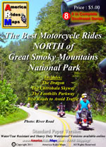
The Best Motorcycle Rides NORTH of Great Smoky Mountains National Park – NEW MAP

Photo - map cover

The newest motorcycle pocket map, “The Best Motorcycle Rides NORTH of Great Smoky Mountains National Park,” is the latest release from America Rides Maps adding a host of  great new motorcycle roads never publicized before to the already extensive collection from north Georgia to north Virginia.


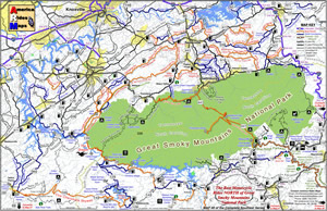
The focus of this map was to locate and identify the best rides, shortcuts, and bypasses to avoid the traffic and congestion in one of the most popular tourist areas in the nation – the north side of Great Smoky Mountains National Park.

“I’ve avoided this area for years” says Wayne Busch, cartographer, explorer, and designer for America Rides Maps. “Now I have new favorite roads I ride again and again”.

Photo - image of map

The most thorough coverage of Great Smoky Mountains National Park

Having completed the revisions and updates to the 6 Map Blue Ridge Parkway Series this winter, this new map is the second of three  maps which will form the Smoky Mountain Series.

The first, “The Best Motorcycle Rides Near Smoky Park – EAST “ contains the southern end of the Blue Ridge Parkway near Cherokee and follows it east to Asheville.

The third map in the Smoky Mountain Series will combine and expand on several maps which currently detail the wealth of great motorcycle rides south of the national park.

Between the three maps, more than 100 outstanding motorcycle rides will be detailed surrounding Great Smoky Mountains National Park.

“I‘ve already got the most detailed and comprehensive coverage of great motorcycle rides which connect or lie adjacent to the entire length of the 469.1 mile long Blue Ridge Parkway”, Wayne reports, “These maps expand that parkway experience and add to it some of the most challenging motorcycle roads found anywhere including the famous “Dragon” at Deals Gap”.

Expect the final map in the Smoky Mountain Series, “The Best Motorcycle Rides SOUTH of Great Smoky Mountains National Park”  in about a month.

America Rides Maps – http://AmericaRidesMaps.com – The most comprehensive, inexpensive, easy to use motorcycle pocket maps

BUY THIS MAP HERE  – http://shop.americaridesmaps.com/Map-8-Best-Rides-NORTH-of-Smoky-Park-NC020.htm

  • Standard Paper – $5.00
  • Water / Tear Resistant – (Best Value) – $5.99
  • Heavy Duty Waterproof – $8.00

Free Shipping via 1st Class mail included!

_______________________________________________________________________________

Wayne Busch
Wayne Busch – Cartographer
– Wayne Busch lives in Waynesville, NC, where he produces the most detailed and comprehensive and up-to-date motorcycle pocket maps of the Blue Ridge and Smoky Mountains to help you get the most of your vacation experience. See them here – AmericaRidesMaps.com 

The Birthplace of Tennessee – Best Seen on a Motorcycle

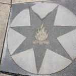
Photo - marble campfire

Who knows where this is?

It was the middle of nowhere yet it was the center of everything. I’d stumbled upon the birthplace of Tennessee.

I had low expectations. My research told me most of the roads I’d be riding today would hold little interest to the typical motorcycle rider who had come to ride The Dragon at Deals Gap and the Cherohala Skyway. None of the roads I’d ride on my 450+ mile travels would come anywhere close to those legends. Still, the morning held a surprise I never expected and made the efforts worthwhile.

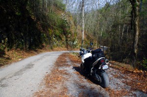
Photo - Cherokee National Forest Road

Parked along Pleasant Mountain Road. It's typical of other roads nearby - of little interest to most. Still I check them all.

Arriving in Tellico Plains, Tennessee, after an early morning motorcycle ride where I’d had the whole of the Cherohala Skyway to myself, I pointed my wheel north onto TN 360 and my workday began. Within a few miles I’d reach the point where I’d previously abandoned my search for great motorcycle rides and the explorations would resume. Rounding a curve a green street sign flashed past with a name I recognized and I clamped on the brakes to swing around.

I could rule this road out as soon as I saw it, it was doubtful it would be of any interest. Consulting my map, I saw it connected to another I wanted to investigate, so I snicked into first gear determined to make quick work of White Plains Road and move on.

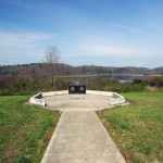
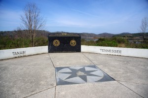
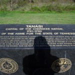
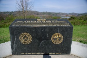
Photo - Tanasi Monument

The Tansi Monument - Tennessee gets it's name from here

It met Smoky Branch Road in a few miles where they both intersected Citico Road. I’d eventually loop back through Smoky Branch Road, also of little interest. Obviously Citico Road was the daddy in this area, the main thoroughfare of better quality, decent pavement, and sporting a faded double yellow line, a proper road.

I expected it would quickly peter out, but after several miles it continued to wind and snake through the mostly bland countryside and I started to wonder if it actually went somewhere in the big empty white space on the map. Curiosity aroused, I couldn’t resist investigating the Tanasi Memorial Site when the sign appeared.

Photo - Tanasi Monument

The empty and isolated setting quickly fills with visions of what must have been

Never heard of it. Turning the motorcycle onto Bacon Ferry Road I ventured out into the nothingness on the barely paved bumpy and potholed  single lane that led out onto a low finger of land surrounded by Tellico Lake. I rode past the pull-off, but a quick glance towards the lake had me circling back when I saw the shoreside monument.

Photo - Tanasi inscription

Inscription transcribed below

Tanasi

Capital of the Cherokee Nation

1721-1730

Origin of the Name for the State of Tennessee

The site of the former town of Tanasi, now underwater, is located about 300 yards west of this marker. Tanasi attained political prominence in 1721 when its civil chief was elected the first “Emperor of the Cherokee Nation”. About the same time, the town name was also applied to the river on which it was located. During the mid 18th century, Tansi became overshadowed and eventually absorbed by the adjacent town of Chota, which was to the immediate north. The first recorded spelling of Tennessee as it is today occured on Henry Timberlakes map of 1762. In 1796, the name Tennessee was selected from among several as most appropriate for the nation’s 16th state. Therfore, symbolized by this monument, those who reside in this beautiful state are forever linked to its Cherokee heritage.

Pho

Cherokee Tanasi to Tennessee - State. A heritage preserved and honored.

I don’t much adhere to theories of “vortexes” or spirituality, but there’s something about this site that is powerful enough to make it worth a visit, it will be on the new map. It’s worth the ride out to it. See it if you have the chance.

_______________________________________________________________________________

Wayne Busch
Wayne Busch – Cartographer
– Wayne Busch lives in Waynesville, NC, where he produces the most detailed and comprehensive and up-to-date motorcycle pocket maps of the Blue Ridge and Smoky Mountains to help you get the most of your vacation experience. See them here – AmericaRidesMaps.com 

Motorcycle the Dragon, the Cherohala Skyway, the Blue Ridge Parkway in one day

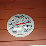
Photo - Thermometer at Deals Gap Motorcycle Resort

Thermometer at Deals Gap Motorcycle Resort

It was 80 degrees when I pulled up at the Deals Gap Motorcycle Resort yesterday at 5 PM with over 400 miles of Smoky Mountain motorcycle rides already behind me. 8 hours ago I was on the Cherohala Skyway as the soft morning glow and gusty winds made the lonely road seem like it was in another world.  I decided to make the day a trifecta and go home via the Blue Ridge Parkway. It’s hard to believe it’s still March, early spring has arrived!

Photo - morning on the Cherohala Skway

Morning on the Cherohala Skyway. I'm parked on the state line between North Carolina and Tennessee.

I had reservations about going out today, I’d been putting it off. I knew I would not find many good motorcycle rides in the areas I was searching. It was either too far out of the mountains or too far to into them. I was hitting the single lane back roads in the National Forests near The Dragon at Deals Gap and the Cherohala Skyway,  as well as the best ways to pass through the semi-urban areas to the north.

Photo - marble campfire

Who knows where this is?

I found something cool out in the Cherokee National Forest that will get it’s own motorcycle blog post shortly. One of the more useful things I discovered is one of the most direct ways to connect The Dragon at Deals Gap to I-75 south of Lenoir City.

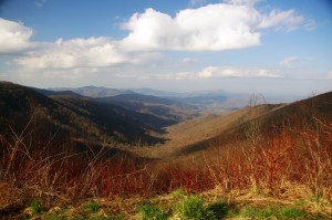
Photo - Cherohala Skyway View

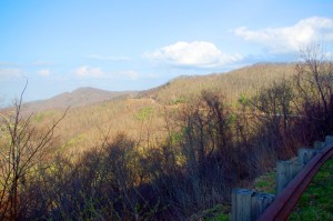
A long view of the Cherohala Skyway as it winds into Tennessee

I suspect many riders follow US 129 to Maryville, then take US 321 north when headed for the Interstate. There is  a way to minimize the traffic and avoid more than half of the four lane US 321.

Take TN 72 north from The Dragon at Punkin Center. When you reach US 411, cross it onto the East Coast Tellico Parkway and follow it along the lake area. It will become Axely Chapel Road at the north end and will intersect US 321. These are not outstanding motorcycle rides, but they are a heck of a lot better than the alternatives and get you off the four lane on some scenic and curvy motorcycle roads.

Photo - Calderwood Lake

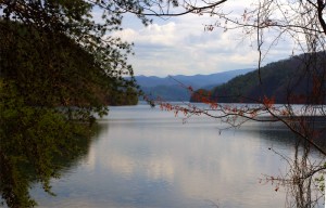
Calderwood Lake is one of several along US 129

I don’t really care much for riding in this area, but it’s only because there are so many really great motorcycle rides once you get in close to Great Smoky Mountains National Park. It’s hard to shine when pitted against them.

I’ve been mostly focusing on find the connections between the better rides so you can link them together. If you have the time when passing through, they are the most enjoyable motorcycle rides I can find for those who would rather stay on the back roads and savor them. The views are certainly more entertaining. Watch out for turkeys in the road.

Photo - Chillowhee Dam

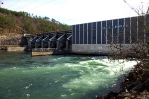
How many of you have seen the Chillowhee Dam from this side?

My “wake up and dream” cruise on the smooth and sweeping curves of the Cherohala Skyway was the highlight of the morning.  The rest of it was on a web of roads which weave through the more remote and rugged sections of the national forest. A few of them start out as decent paved roads, but quickly diminish to single lane unmarked trails that become more potholed and full of gravel as you go. On most, the pavement ends long before the road does.

Photo - motorcycles at Delas Gap Motorcycle Resort

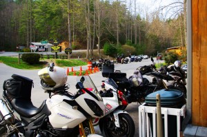
5 PM on a Tuesday evening in late March at the Deals Gap Motorcycle Resort

I’ll need at least one more good day to cover this area as thoroughly as I’d like. I’ve hit almost all the roads. The challenge now is how they work together to become the best motorcycle rides through the area, how well do the linked roads flow, can I find ways to make the good motorcycle rides last longer?

I know I can!

(Click on photos for larger views)
_______________________________________________________________________________

_______________________________________________________________________________

Wayne Busch
Wayne Busch – Cartographer
– Wayne Busch lives in Waynesville, NC, where he produces the most detailed and comprehensive and up-to-date motorcycle pocket maps of the Blue Ridge and Smoky Mountains to help you get the most of your vacation experience. See them here – AmericaRidesMaps.com