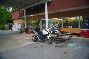
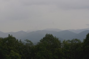
I am beginning to think Georgia does not want to be mapped…

I am beginning to think Georgia does not want to be mapped. For more than a year now I have been trying to complete the most comprehensive and detailed map of the northeast corner of Georgia’s unpaved roads and trails. Things could have gone better at times.
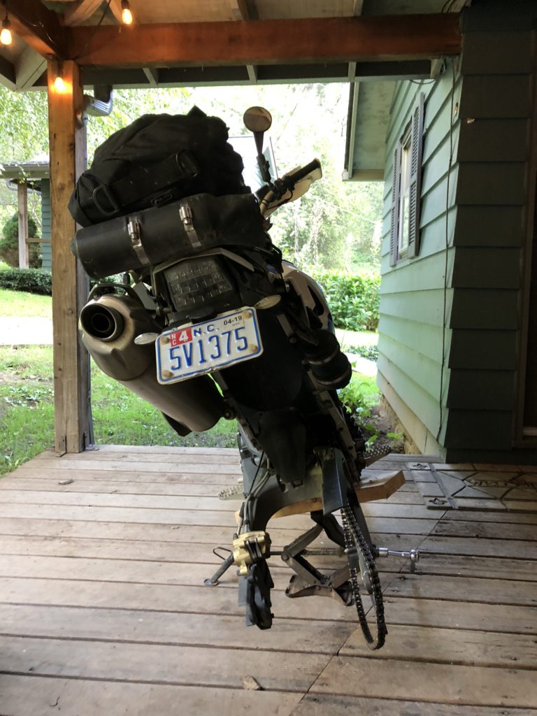
Wheel to shop

I’ve made tremendous progress, I can see the light at the end of the tunnel, but it’s been a costly process. It takes about 2 hours for me to get to heart of the map(s) from my home in western NC. I’ve both stayed locally in GA and strategically commuted to knock out sections of it. I’m so bored with the ride down and worse yet, the ride back. I think this will be the 5th rear tire on this project. I’ve had GPS fails requiring replacement and re-riding of the areas, lost a 1 month old iPhone with all my notes and photos, replaced brake pads, sprockets, chain, and had to expand my carrying capacity for all the tools and spare parts I’m coming to need. Today was yet another costly learning experience. I made a judgement error.

I’d just replaced my rear tire on the trail bike, a BMW G650 XChallenge with another aggressive off-road tire. It was exactly what I wanted for the job. A week or so after the hurricane followed by a week long rainy spell I expected sloppy and muddy conditions at best. I dropped my rear tire pressure from 29 PSI to 20 PSI, checked the front was holding steady at 16 PSI, I’d had good performance with these settings many times prior. I was ready.
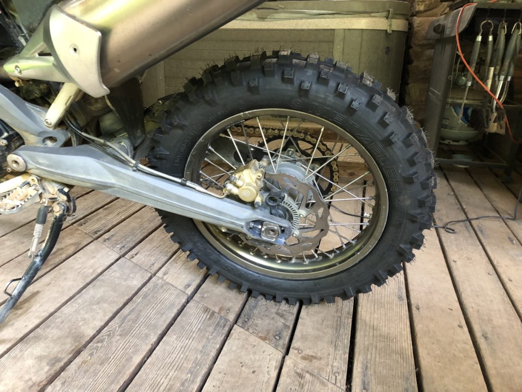
Tire - Metzler Six Day

I needed an epic day to complete the map, essentially edge-to-edge across both sides of the map. Most of it was expected to be easy forest roads, though I had some difficult parts on the list. I set out early, as soon as there was enough light to see for the long drone south on the highways.
This new tire felt odd, but that’s not unusual with these knobby tires. Each feels different. They take a bit to scrub in and square off on the road before things settle down to a predictable performance. I reached my 120 mile tank range and stopped for gas.My rear tire overheated from the long run on the highways.
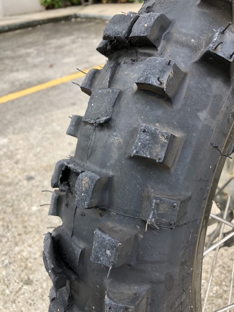
melted tire

The tire was coming apart, melting. It was so hot I could smell it. Half the center knobs were gone, others peeling away from the carcass in shreds. While I’d had no issues running other brands of tires at off-road pressures this one did not tolerate it at all.
I stopped, called home to let my wife know to watch my progress on her tracker program as limped home. I aired the tire up and hit the highway with fingers crossed her help would not be needed. I kept to just below the speed limits and made stops to let the tire cool down periodically.

I made it home with not much of that tire left. Sadly I pulled the wheel and headed for the dealer to get the tire replaced. Another day lost, another adventure added to the list.

Tire at the end of the ride
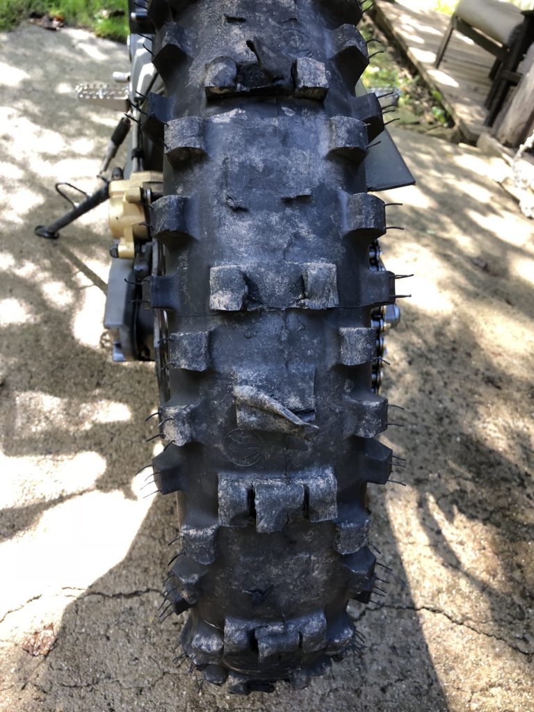
Melted Tire

Perhaps it is “the hand of providence” telling me to take my time, look harder, there’s more to be found, don’t rush too early for the finish line. I do keep finding new roads, new trails, places I’d missed earlier or discovered through research.


Wayne BuschAmerica Rides Maps

Wayne Busch searches out the most entertaining roads in the Blue Ridge Mountains then records them on a series of maps which span the Blue Ridge Mountains.

There are more great motorcycle roads in the Blue Ridge and Smoky Mountains than anywhere else. I highlight the best roads then show you the best ways to connect them together into rides. More than a decade of searching has discovered more than 1000 good roads to enjoy. We continue to search so you may enjoy.

Review the maps, order online hereAmericaRidesMaps.com

Source: America Rides Maps Blog @ Miles-by-Motorcycle.com

https://miles-by-motorcycle.com/51999/blog/63288/i-am-beginning-to-think-georgia-does-not-want-to-be-mapped—

A List & Descriptions of More North Georgia Motorcycle Roads

image-georgia-motorcycle-map

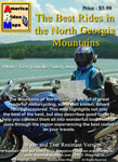
Map #9 - The Best Rides in the North Georgia Mountains

I’m way late getting back into Georgia. I’d planned to revisit the region in May. Here it is July, and I’m just now wrapping up the revisions to my Georgia motorcycle ride mapThe Best Rides in the North Georgia Mountains.

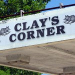
photo- opossums on sign

Love d'em possums!

I’ve been poking my wheel into the periphery of the region as I’ve been exploring great motorcycle rides in Tennessee, North and South Carolina, but just haven’t had the time to dedicate a full assault on the heart of the best riding area in the Peach State. My motorcycle map business is expanding so fast it’s required far more time in the office and production than I expected. I wish you the same success.

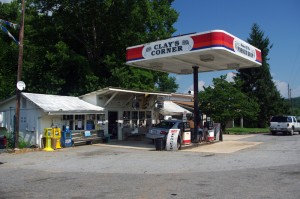
Photo-Clay's-Corner

Clay's Corner in tiny Brasstown. Georgia is full of these little do-it-all pit stops. Lots of history to be discovered too.

There’s no need to revisit the well known rides – Blood Mountain, Wolf Pen Gap, Suches, Helen, etc., but I won’t resist hitting as many of those outstanding roads as I can while I’m there. If you’ve ridden them before, you already know what I mean. If you haven’t ridden the north Georgia mountains on your motorcycle, you’re missing out. Get it on your bucket list.

I found myself with a window of opportunity to get out on the road yesterday as the supplies I need won’t arrive until today, so I dressed for the deluge and headed south. No doubt it was going to rain. I’d hoped for thunderstorms that would come and go, but the torrent was steady from noon till dusk.

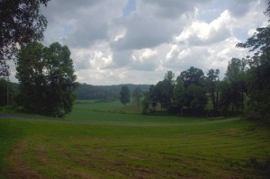
North-Georgia-View

The hilly countryside is such a nice mix of rural scenes, wooded byways, and historic little towns.

I’m used to riding in all kinds of weather, and have spent so much of my time on the motorcycle riding in rain it just adds another dimension to the ride for me. I’ve found excellent tires that allow me to keep my usual “spirited pace” when carving through the wet curves, and the principal factor that limits is visibility. You can only go as fast as you can see the road ahead and at times yesterday it was so dark and the showers so heavy I had to yield to the conditions.

I set out with 29 new roads to explore. The focus is not to find the next great classic Georgia motorcycle ride, but to determine better ways to link the already well known great motorcycle rides together with good 2 lane back roads so you have the most flexibility on your travels. I’m not sure if I got to all of them. I’d printed a paper map before leaving and within a few hours it was in useless tatters. I did much of the exploring from memory. Once I review the GPS logs I’ll see if another trip is needed.

Here are a few roads you should know about:

photo-stopped-in-Suches

I paused in Suches at this once popular motorcycle stop - the convenience store is till open, but no gas any longer. I laid my gear out to dry and as soon as I did it started pouring again.

Boardtown Rd / Sugar Creek Rd are west of GA 515 running parallel to it between Ellijay and Blue Ridge. Not an outstanding ride, it does allow you to get off the 4 lane divided highway when passing through. Use Scenic Rd at the north end to go into Blue Ridge or connect to GA 5.

When coming south on GA 60 Spur from US 64/74, Hardscrabble Rd will bring you west of Morganton, Blue Ridge, and Mineral Bluff so you avoid the town traffic. Orton Rd / Johnsonville Rd / Mt. Pleasant Rd! are really twisty ways to access Hardscrabble Rd from US 64 / 74 but the pavement is bumpy and your suspension had better be excellent to fully enjoy these curves.

Connecting GA 60 and GA 5, Curtis Switch Rd takes you to the Taccoa River, then Galloway Rd makes a curvy run to rejoin GA 5 midway between Blue Ridge and Mccaysville. To reach GA 5 closer to Blue Ridge, hop onto Barnes Chapel Rd, though keep an eye open for Dills Rd – it’s much more fun.

Photo-Georgia-rain

View from GA 60 south of Suches. There are awesome rides through those rainy hills. Come and do them!

Just north of the border in North Carolina, Martin’s Creek Rd snakes south from Murphy. Access it via Hiawassee River Rd on the south side of the river. The north end is devilishly tight with 10 mph curves, then it opens up as you proceed south. At the midpoint, Brasstown Rd is a really enjoyable romp east leading to a knot of great rides near Hayesville.

Finally, south of Suches where GA 60 meets US 19 at Porter Springs, Stone Pile Gap Rd is easily overlooked. A large and fancy “Ranch” sign makes it appear as if the road is a private entrance to the facility. It leads to Yahoola Rd / Black Mountain Rd which loop back towards Dahlonega. All are enjoyable though not outstanding cruiser rides. Don’t be tempted to make a run out Camp Washega Rd – it’s a really nice ride but dead ends at an Army Ranger Camp.

I plan to have the new version of Great Rides in the North Georgia Mountains ready in about a week.

_______________________________________________________________________________

Wayne Busch
Wayne Busch – Cartographer
– Wayne Busch lives in Waynesville, NC, where he produces the most detailed and comprehensive and up-to-date motorcycle pocket maps of the Blue Ridge and Smoky Mountains to help you get the most of your vacation experience. See them here – AmericaRidesMaps.com