Riding the Blue Ridge Parkway – Fall leaves can be deadly!

Motorcycle riding tips – Wet leaves in the road can be slick as ice! Watch out for them.

The fall leaf color show is nearing it’s end. With every good breeze a shower of tree trash rains down to blanket the ground for winter’s slumber. Usually those winds blow it clear from the road and it’s no big deal for the motorcycle rider flying along with trails of floating color swirling romantically in your wake.
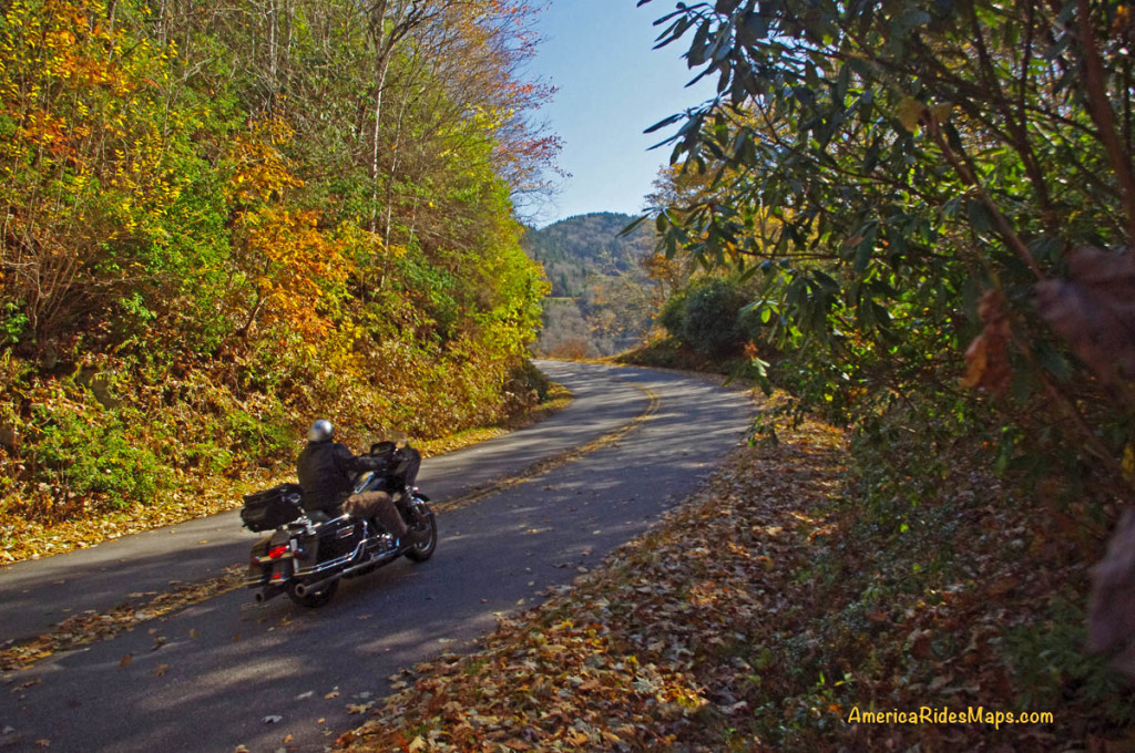
There is still plenty of fall color to enjoy in the Blue Ridge, but those leaves can become a hazard!

There is still plenty of fall color to enjoy in the Blue Ridge, but those leaves can become a hazard!

But add water to the mix and those leaves get heavy and stick to the road piling up between the two tire tracks cleared by passing autos. The water acts as a lubricant. Stray out of those tire tracks cleared by the cars, especially in a curve, and you’ll find your traction goes from hero to zero in an instant.
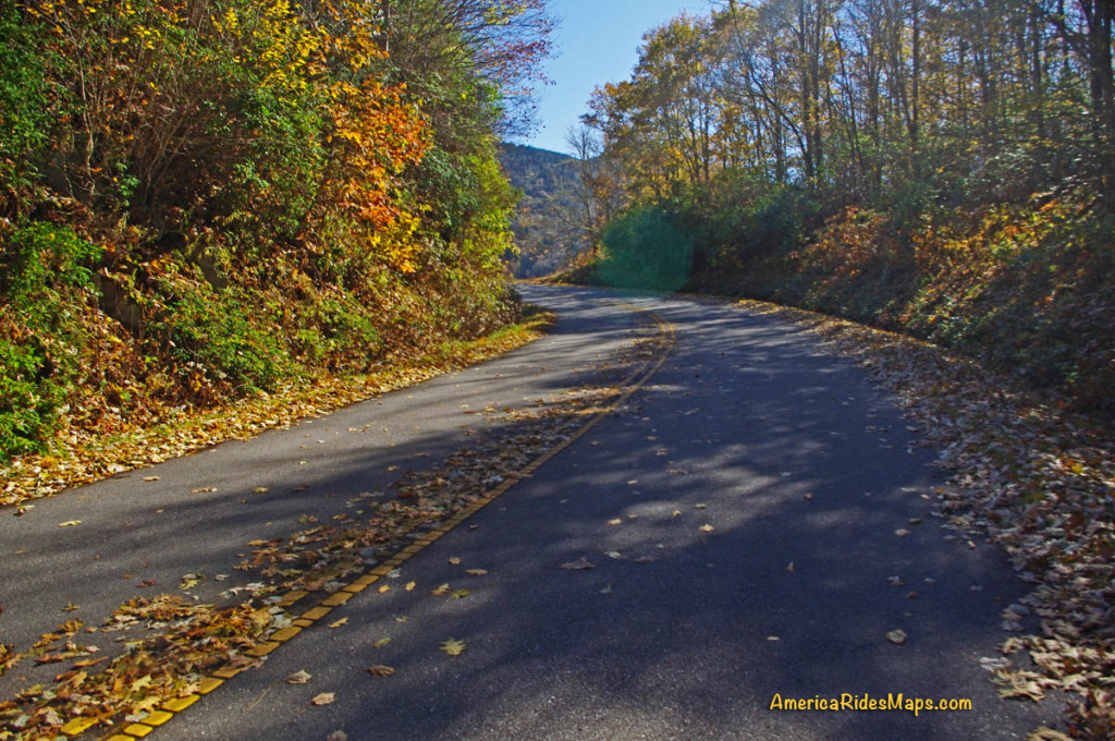
We all know the painted lines are slick when wet -

We all know the painted lines are slick when wet – it can be deadly when you add wet leaves on top of them. Watch out and hold your line in the curves!

Be especially alert and cautious when riding now after it rains. The problem goes away pretty quickly with sunshine, but don’t be fooled. Many areas of our mountain roads are perpetually shady and those leaves remain wet and slippery even on the brightest of days.

If you enjoy photos of motorcycle riding in the Blue Ridge and Smoky Mountains, like MY BLUE RIDGE MOTORCYCLING FACEBOOK PAGE.
____________________________________________________________________

wayne busch - Smoky Mountain Motorcycle Rider.com

Wayne Busch

– Wayne Busch lives in Waynesville, NC, where he produces the most detailed and comprehensive and up-to-date motorcycle pocket maps of the Blue Ridge and Smoky Mountains to help you get the most of your vacation experience. See them here – AmericaRidesMaps.com

____________________________________________________________________

Misleading Blue Ridge Parkway Sign should come down

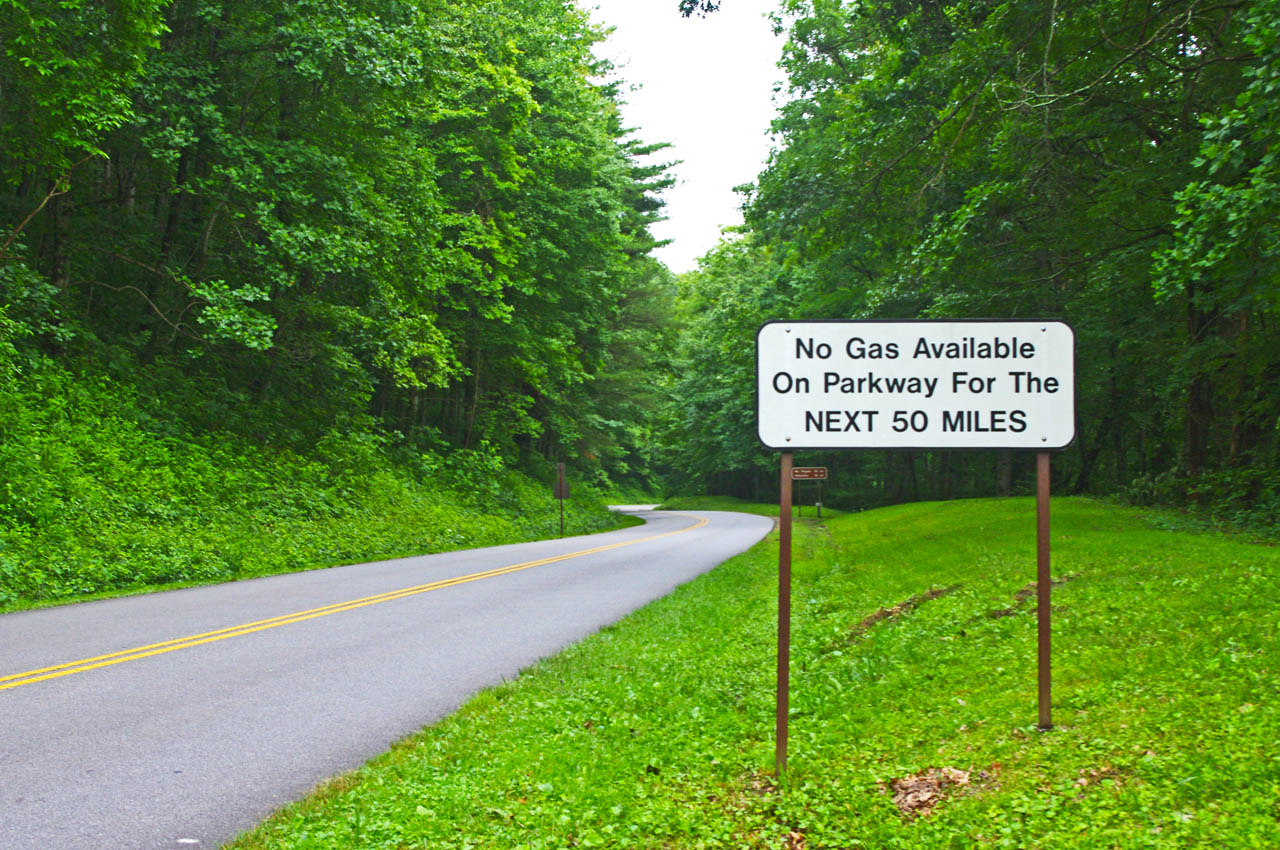
There was a time when the “No Gas for Next 50 Miles” sign at the US 74 exit on the Blue Ridge Parkway (MP 443.1) was an accurate warning, but it no longer serves the purpose.

photo-no-gas-sign-on-blue-ridge-parkway

This sign is a legacy to when gas was available on the Blue Ridge Parkway. It should now read "No gas next 400 miles". There is no gas on the Blue Ridge Parkway.

Years ago, there were gas stations on the Blue Ridge Parkway. This sign warns next gas was once available at the Pisgah Inn after a long lonely stretch with no convenient access to fuel. That’s no longer the case.

You’ll also see the remnants of a gas station at the Crabtree Meadows Visitor Center (MP 339.5).

Country-Store-at-Pisgah-Inn

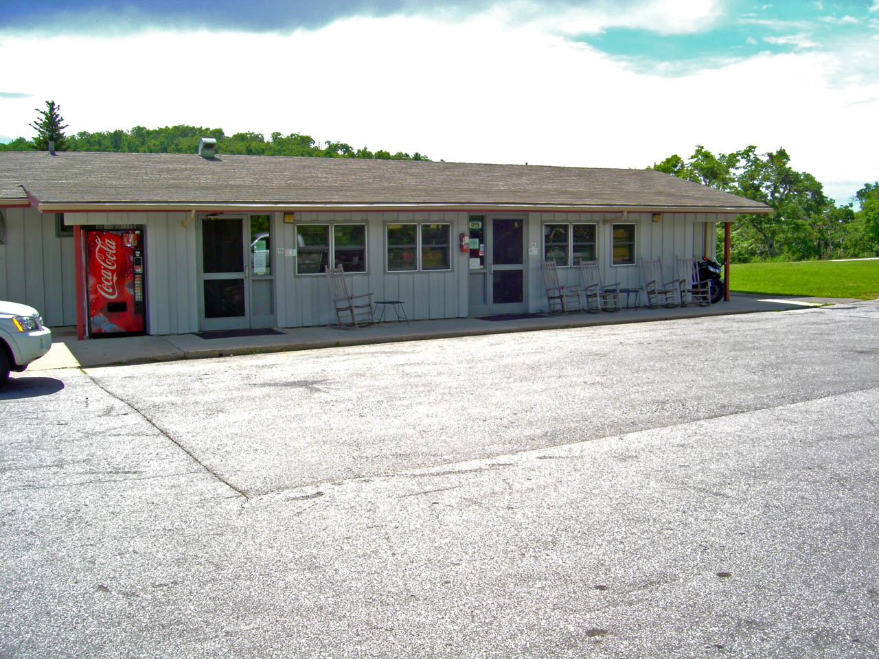
The Country Store at the Pisgah Inn was once a gas station. Now it's just a break spot and service for the campground.

The Park Service removed the gas stations yeas ago. There is no longer gas available on the Blue Ridge Parkway nor are there any signs directing you to the location of the nearest gas at an exit.

The only place you’ll find a gas station visible from the Blue Ridge Parkway is at Raps’ Deli at Orchard Gap (MP 193.8) in southern Virginia.

With the limited range of motorcycles and long stretches of isolated road, knowing where the gas stations are is one of those things that takes a lot of the worry out of a Blue Ridge Parkway trip.

image-section-of-map

You'll find the closest gas to each Parkway exit listed on each of my Blue Ridge Parkway maps and descriptions of the best roads nearby.

It’s one of the most useful features I’ve included on my maps – closest gas to each exit along the 469 mile ride. Sometimes it’s just a few miles, other times it can be quite a distance. Knowing which way to go can keep you from getting stranded and help you make the best use of your time.

In keeping with the park service’s ethic of minimal signage, this legacy warning sign should be removed.

__________________________________________________________________

Wayne Busch

Wayne Busch - Cartographer

Total Rider Tech Logo

Learn Total Control

– Wayne Busch lives in Waynesville, NC, where he produces the most detailed and comprehensive and up-to-date motorcycle pocket maps of the Blue Ridge and Smoky Mountains to help you get the most of your vacation experience. See them here – AmericaRidesMaps.com

Wayne is an advanced motorcycle instructor for Total Rider Tech teaching Lee Parks Total Control Advanced Rider Courses. Isn’t it time you looked into advanced rider training to ride more confidently and safely? It can transform your mountain riding experience.  Total Rider Tech

____________________________________________________________________