Blue Ridge Parkway Detour 2011 – the BETTER way

Photo - At the parkway detour

Which way to go? Let me help!

All things considered, the Blue Ridge Parkway is in the best shape it has been in for quite some time. It received a lot of attention with the 75th anniversary of the nations most popular motor park last year. Still, there is always work going on to maintain this 469 mile long road.

There is one section which is closed for 2011 near the North Carolina / Virginia border as historic rock walls are reconstructed and stabilized near the Doughton Park area. Because of this, the Bluffs Lodge did not open this year.

The official detour routes traffic north through Sparta, NC. There is a much more enjoyable route for motorcycle travelers.

Choosing this southern detour will allow you to avoid the bulk of the traffic which is directed north and avoid going through the town of Sparta. There is a gas station along this alternate route. While it is a bit longer, it is also quite twisty and scenic as it plunges down from the heights of the parkway, traverses a valley south of Stone Mountain State Park, then climbs again to return to the parkway to continue on your way.

You can download and print your own map of it by using this link:

http://americaridesmaps.com/downloads/Parkway_Detour_2011.pdf

You may also encounter some brief delays here and there, particularly between Boone, NC and Linville, NC as spot paving is done, roadside drainage is improved, and wooden guardrails are replaced.

_______________________________________________________________________________

Wayne Busch
Wayne Busch – Cartographer
– Wayne Busch lives in Waynesville, NC, where he produces the most detailed and comprehensive and up-to-date motorcycle pocket maps of the Blue Ridge and Smoky Mountains to help you get the most of your vacation experience. See them here – AmericaRidesMaps.com 

The Blue Ridge Parkway – Old World Craftsmanship Endures

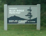
Photo--Blue-Ridge-Parkway-Sign

Blue Ridge Parkway - History preserved

As you make that Blue Ridge Parkway motorcycle ride this year you will encounter one major detour near Doughton Park just south of the Virginia border in North Carolina. Within this stretch of road, the beautifully crafted stone walls which line the shoulders of the Blue Ridge Parkway are being restored and foundations added to insure they endure long into the future.  Originally built by master stone masons brought from Europe, descendants of the original craftsmen now labor to re-craft the work done by their grandfathers.  This video shows the care being taken to preserve the historic legacy of the national park insuring each stone is returned to its original position.

While the park service has routed traffic north on a detour which takes you through Sparta, I’ve identified another more challenging and scenic detour route that will take you on a ride that gets you away from all the other traffic and takes you to sights those others miss seeing. This video shows you the details of what I believe is a better detour route for motorcycle travelers –

Use this link to download a map of this detour route you can print at home and take with you on your journey. goo.gl/pCRdP

This section of the Blue Ridge Parkway is detailed on America Rides Maps Map #3 – North Carolina / Virginia Border Rides, part of the 6 map Blue Ridge Parkway set.

_______________________________________________________________________________

Wayne Busch
Wayne Busch – Cartographer
– Wayne Busch lives in Waynesville, NC, where he produces the most detailed and comprehensive and up-to-date motorcycle pocket maps of the Blue Ridge and Smoky Mountains to help you get the most of your vacation experience. See them here – AmericaRidesMaps.com 

Popular Blue Ridge Parkway feature destroyed

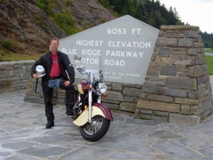
photo-sign-at-the-highest-point-on-the-Blue-Ridge-Parkway

The sign at the highest point on the Blue Ridge Parkway

What a surprise as our motorcycles rounded the bend on my favorite section of the Blue Ridge Parkway July 4 to find a familiar and highly visited overlook feature missing. We had to stop for a closer look.

It’s one of those classic photo opportunities on your Blue Ridge Parkway motorcycle ride – the highest point of the 469 mile roadway is prominently marked with a large sign at the popular overlook. You can pull your bikes right in front of it and get that great picture to commemorate your visit – until now. That sign is missing.

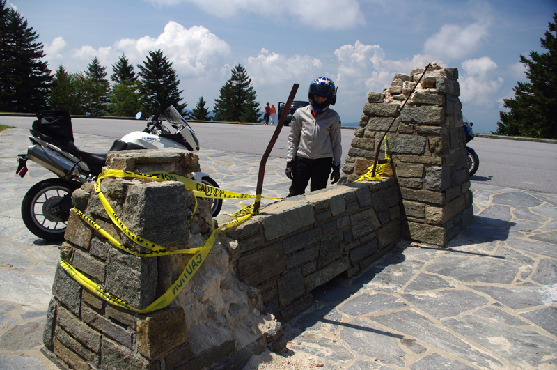
Photo-sign-destroyed-on-Blue-Ridge-Parkway

It used to be a classic photo spot - pull your bikes in front of the sign and get the picture for your scrapbook

My first though was it had been struck by a car. It would have had to be a big car though, at least an SUV, maybe even a small truck, but the evidence did not show signs of a collision.

Photo-sign-destoryed-on-Blue-Rdige-Parkway

Surveying the damage we speculate the sign was pushed over. Look at the bent steel supports, and the damage to the rock pillars up high.

The damage was too high, and it appeared more as if it had occurred from the top down. The twisted steel and fractured rock indicated the sign had probably been forced down by high wind, though it must have been one heck of a blow. Perhaps it was a tornado or one of those micro-burst events. At over 6000 feet elevation you can experience some pretty severe weather.

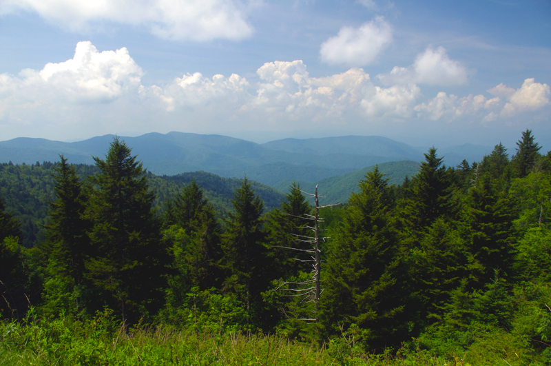
Photo-view-from-highest-point-on-the-Blue-Ridge-Parkway

The view from the highest point on the Blue Ridge Parkway.

Still, this sign has stood through harsh conditions for many years. I’m glad I wasn’t up high when this damage occurred. We’ve had extraordinarily unusual weather in the Smoky Mountains this year. Until now, I would have told you tornados don’t happen in the mountains. Great Smoky Mountains National Park has experienced a couple, you can still see the twisted steel tower in the middle of the lake at Deals Gap left when that cyclone blew through, and  I no longer know what to expect. Times are changing and the southeast has been pummeled with twisters this year.

If it’s the end-of-times, I’m going out riding my motorcycle. Watch me flash by in the twister like the wicked witch in the Wizard of Oz. See you on the yellow brick road.

You’ll find this outstanding motorcycle riding area featured on America Rides Maps “The Best Motorcycle Rides South of Great Smoky Mountains National Park

_______________________________________________________________________________

Wayne Busch
Wayne Busch – Cartographer
– Wayne Busch lives in Waynesville, NC, where he produces the most detailed and comprehensive and up-to-date motorcycle pocket maps of the Blue Ridge and Smoky Mountains to help you get the most of your vacation experience. See them here – AmericaRidesMaps.com