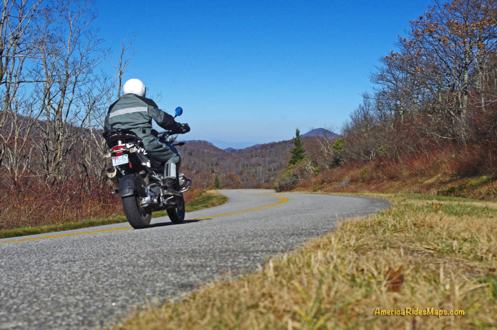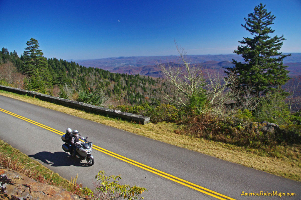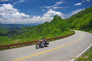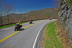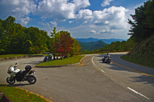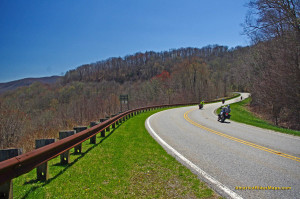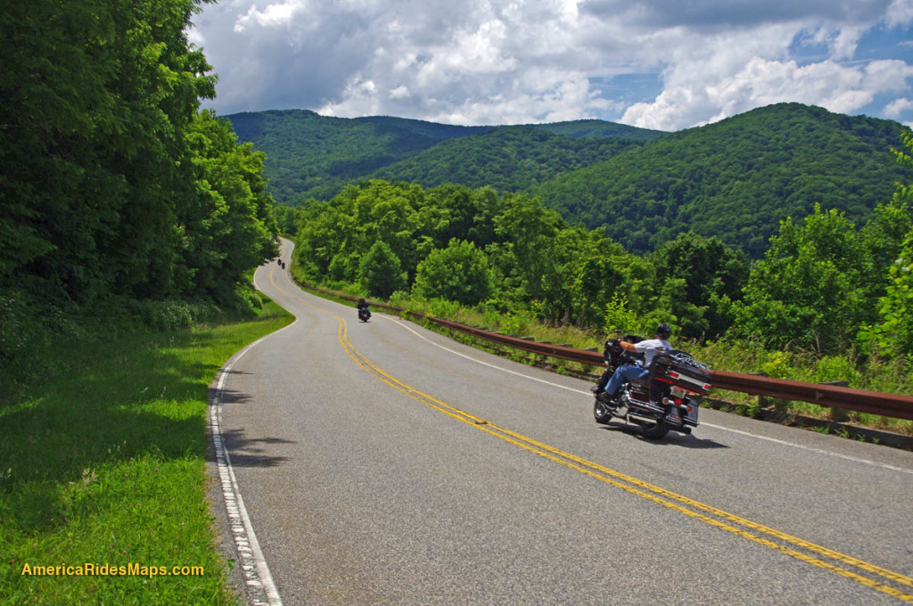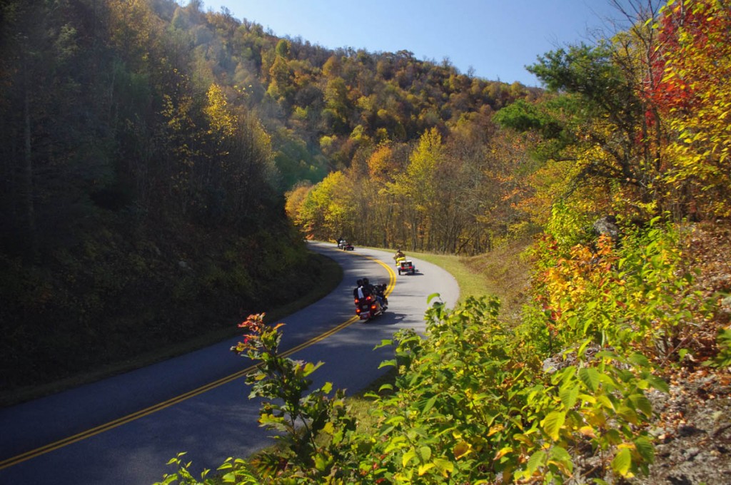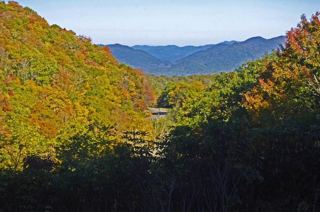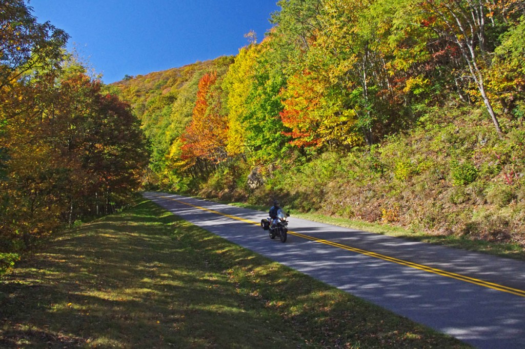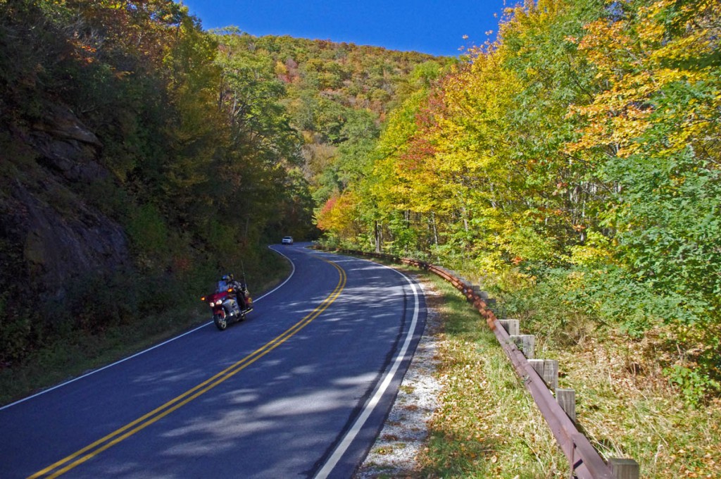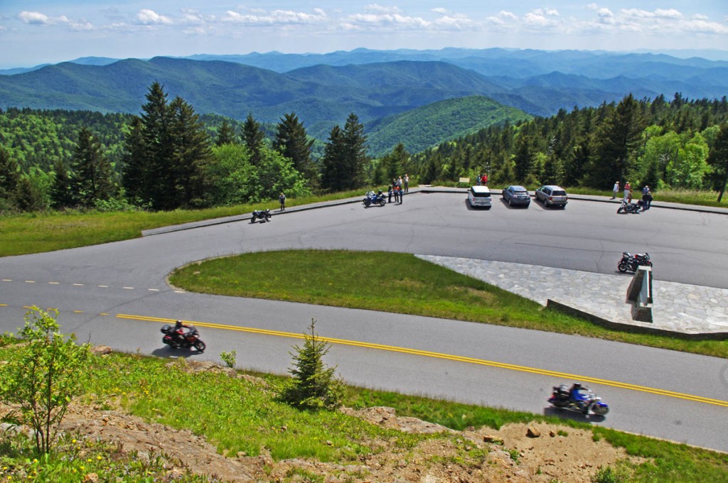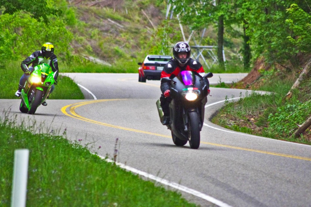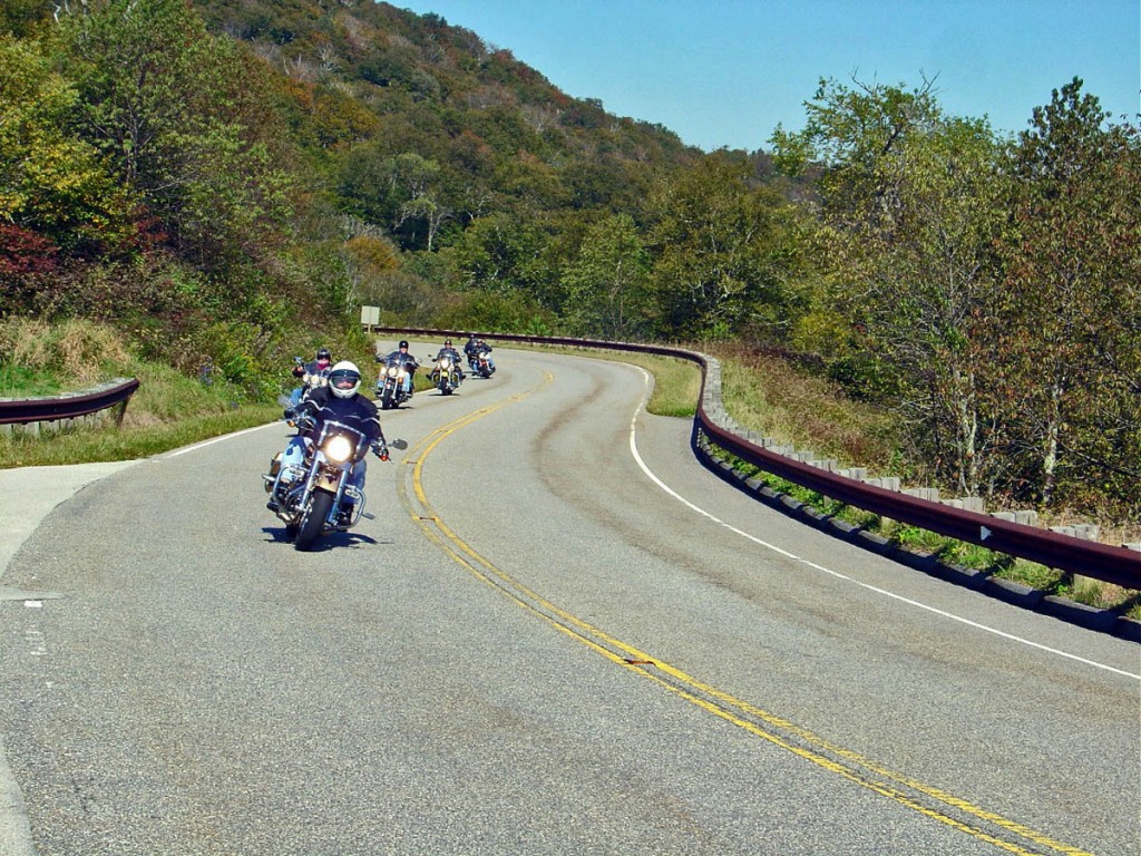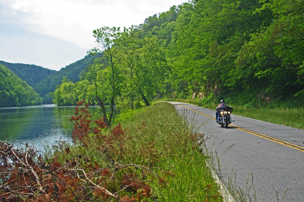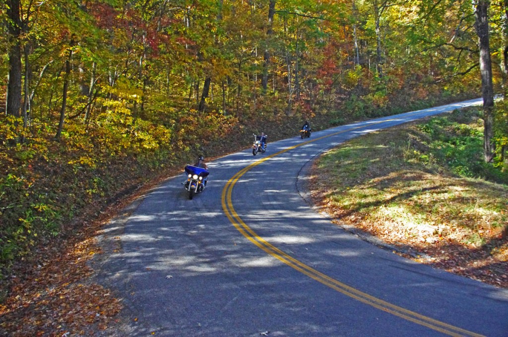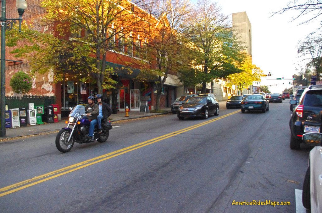
You have no clue you’re passing through some sizable cities on a Blue Ridge Parkway ride – 10 minutes ride from a parkway exit puts you in the heart of Asheville, NC, a fun place to visit!
On a 469 mile long Blue Ridge Parkway ride you will pass through two cities – Roanoke in Virginia, and Asheville in North Carolina. Each has its “commuter zone”.
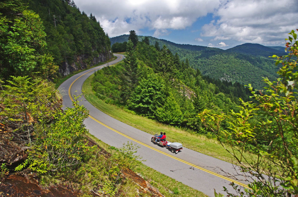
In both cities, the parkway weaves along the east edge of town then curves around to the south, though barely a hint of the surrounding neighborhoods are visible. Riding along you never see a downtown area at all nor any indication you are near a sizable city. It’s part of the magical illusion of a Blue Ridge Parkway ride. The views have been well protected over the years.
What’s a Commuter Zone?
There will be a handful of exits relatively close together as you pass through one of the cities on the Blue Ridge Parkway. For locals, the Blue Ridge Parkway is just one more road to get through town, a shortcut. A lot of local traffic hops on it to save time and zip an exit or two to the road they want.
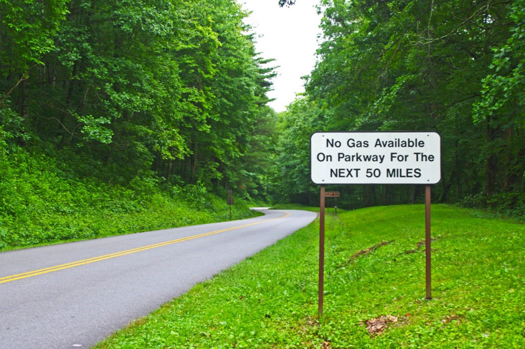
This sign is a legacy to when gas was available on the Blue Ridge Parkway. It should now read “No gas next 400 miles”. There is no gas on the Blue Ridge Parkway. Take advantage of close gas stations to the parkway in the commuter zones.
What you need to know about Parkway Commuter Zones –
Expect more traffic and more aggressive traffic in the commuter zones on the Blue Ridge Parkway. Locals are hopping on the parkway to save time and they may push the speed limit.
The speed limit drops in some areas and it’s more heavily enforced in the commuter zones. The Asheville commuter zone of the Blue Ridge Parkway went to 35 mph last year to try to slow down the local traffic. Watch for the signs.
Enforcement is heavier near cities, especially in commuter zones. More traffic means more resources assigned to deal with it. Watch your speed whenever you feel you are getting into a populated area. You can also expect more attention near popular areas along the Blue Ridge Parkway.
Watch your speed and be alert in the commuter zones
Here are some places where I tell myself to roll back on the throttle when riding the Blue Ridge Parkway:
From the Start of the Parkway in Virginia to Humpback Rocks
Peaks of Otter area in Virginia, near Buchanan
From 221 exit to 221 exit near Roanoke
Linn Cove Viaduct area near Blowing Rock
Moses Cone / Julian Prince Park near Boone
Altapass Hwy north of Spruce Pine / Little Switzerland
Crabtree Falls area
From Craggy Gardens through Asheville
The southern section of the parkway into Cherokee
Be aware of and alert for these commuter zones near the cities along the Blue Ridge Parkway. There are few signs on the road, but if you see any indication you are approaching a congested area be alert and ready to deal with increased traffic with a different agenda than you.
– Wayne Busch lives in Waynesville, NC, where he produces the most detailed and comprehensive and up-to-date motorcycle pocket maps of the Blue Ridge and Smoky Mountains to help you get the most of your vacation experience. See them here – AmericaRidesMaps.com
How I Dress for Winter Motorcycle Riding in the Blue Ridge
How I Dress for Winter Motorcycle Riding in the Blue Ridge – Clear skies, great views, low traffic are some of the rewards of winter riding. Dress right and it’s no big deal.
Don’t let the cold weather put an end to your motorcycle riding season. If you dress well for it, winter riding can be comfortable and fun even here in the mountains. It’s not all snow and ice all the time here in the Smokies. Even the highest sections of the Blue Ridge Parkway stay open for most of the winter. Here are some of my personal tips on dressing for winter motorcycle riding in the Blue Ridge and Smoky Mountains, what works best for me.
Dress to adapt to the changing temperature. Often winter days start out very cold then get milder once the sun is high. Bundle up for the chilly start then simply zip your jacket open and loosen the seals at the wrists a bit once it warms. Using vents keeps you from having to stop and peel off layers.
How I Dress for Winter Motorcycle Riding in the Blue Ridge – With the right clothes, you can ride all day in conditions like this and never be cold.
Cinch and Seal – Before you head out, close all the vents on your jacket. Cinch wrists, ankles, and neck to keep out drafts and seal the warm air in. Snug up any adjustment straps on your jacket to trap warm air better.
A full face helmet is warmer – a balaclava or thin hoodie under the helmet helps when it’s really cold. Manage fogging by cracking the visor just the right amount, flipping it up at stops. Lifting your chin increases air flow, it sometimes works. Eventually your helmet temp equilibrates until you come to a stop again, etc. Fogging problems usually go away as the day gets warmer. Keep visors clean.
Get “Expedition weight” long underwear – go for the warmest, the best quality. You don’t want big seams, buttons and flaps, keep it simple and comfortable.
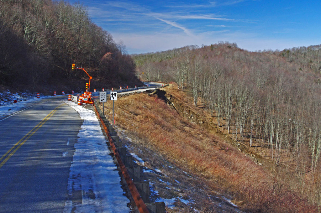
Landslide on the Cherohala Skyway last February. It was a gorgeous day, don’t pass up these great opportunities to enjoy winter on your motorcycle.
Seal your inner layer – make your outer shirt a windblock layer that extends up your neck to the chin, and have a zipper so you can vent it. It’ll hold heat better and a zipper lets you vent when it warms.
Put the linings back in – If you took those quilted linings out of your jacket and pants for the summer, put them back in, as well as any waterproof or wind blocking linings.
2 socks, 2 gloves – Start with a warm thinner sock, then add a heavy duty second sock that extends up to your calf. Thin glove liners add heat under a good lined gauntlet style outer glove.
How I Dress for Winter Motorcycle Riding in the Blue Ridge – you can see so much more in winter when the leaves rare off the trees. It’s a new landscape to enjoy.
If you ultimately decide you enjoy year round motorcycle riding, heated electric gear is the way to go. It’s a big expense, but it lasts for many years. Go all the way and get dual controllers – you’ll want your exposed gloves warmer than your covered vest.
There is one thing you can do to help keep your motorcycle running or stored during the winter months – install a battery tender. It’s as simple as adding a couple wires to your battery terminals for the plug/connector, or if the bike is put up for the winter, just attaching a couple clamps to the battery terminals. Cold weather kills batteries, a battery tender will kept it alive and fresh and extend it’s life for many years.
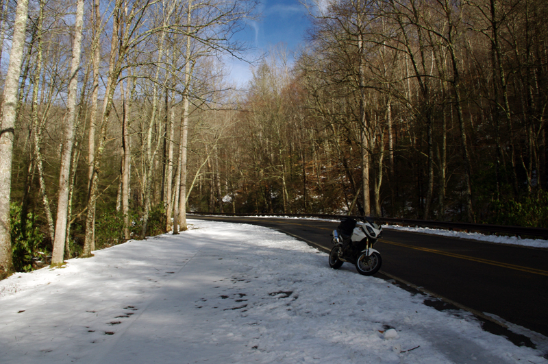
How I Dress for Winter Motorcycle Riding in the Blue Ridge – A minute after this photo was taken my bike lay on its side and I couldn’t pick it up on the ice. Read about it here – http://smokymountainrider.com/?p=1650 –
If you enjoy photos of motorcycle riding in the Blue Ridge and Smoky Mountains, like MY BLUE RIDGE MOTORCYCLING FACEBOOK PAGE.
____________________________________________________________________
Wayne Busch
– Wayne Busch lives in Waynesville, NC, where he produces the most detailed and comprehensive and up-to-date motorcycle pocket maps of the Blue Ridge and Smoky Mountains to help you get the most of your vacation experience. See them here – AmericaRidesMaps.com
Motorcycle riding tips – Wet leaves in the road can be slick as ice! Watch out for them.
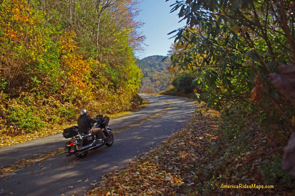
The fall leaf color show is nearing it’s end. With every good breeze a shower of tree trash rains down to blanket the ground for winter’s slumber. Usually those winds blow it clear from the road and it’s no big deal for the motorcycle rider flying along with trails of floating color swirling romantically in your wake.
There is still plenty of fall color to enjoy in the Blue Ridge, but those leaves can become a hazard!
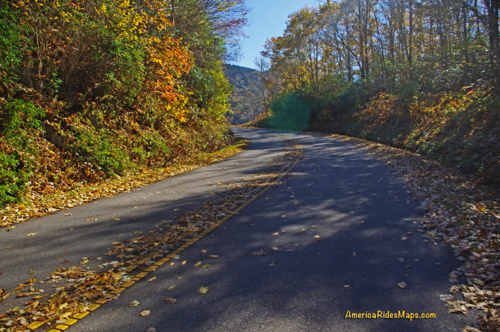
But add water to the mix and those leaves get heavy and stick to the road piling up between the two tire tracks cleared by passing autos. The water acts as a lubricant. Stray out of those tire tracks cleared by the cars, especially in a curve, and you’ll find your traction goes from hero to zero in an instant.
We all know the painted lines are slick when wet – it can be deadly when you add wet leaves on top of them. Watch out and hold your line in the curves!
Be especially alert and cautious when riding now after it rains. The problem goes away pretty quickly with sunshine, but don’t be fooled. Many areas of our mountain roads are perpetually shady and those leaves remain wet and slippery even on the brightest of days.
If you enjoy photos of motorcycle riding in the Blue Ridge and Smoky Mountains, like MY BLUE RIDGE MOTORCYCLING FACEBOOK PAGE.
____________________________________________________________________
Wayne Busch
– Wayne Busch lives in Waynesville, NC, where he produces the most detailed and comprehensive and up-to-date motorcycle pocket maps of the Blue Ridge and Smoky Mountains to help you get the most of your vacation experience. See them here – AmericaRidesMaps.com
“One of the finest motorcycle rides you’ll ever enjoy” –
Fall color on the North Carolina end of the Cherohala Skyway
The Cherohala Skyway takes the motorcycle rider on a long and sweeping romp through the mile high ridge lines of remote national forests just west of Great Smoky Mountains National Park. Stunning long range views can be enjoyed from overlooks and rest areas along the park-like road. Traffic is typically light and the curves are challenging and consistent for the 50 mile town-to-town ride through some of the most wild and scenic areas in the Blue Ridge mountains.
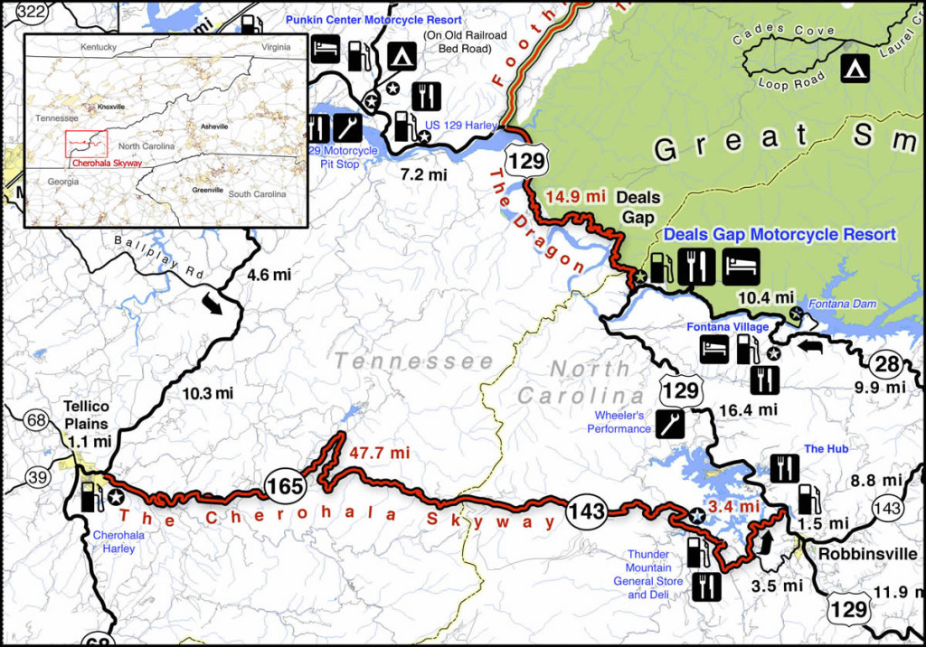
The Cherohala Skyway is near The Dragon at Deals Gap. It runs from Robbinsville, NC to Tellico Plains, TN. Click on map for larger view. Source – America Rides Maps Motorcycle Pocket maps – AmericaRidesMaps.com
Enjoying a summer motorcycle ride on the Cherohala Skyway
The majority of motorcycle riders are drawn to this remote mountainous area to experience the thrill of riding US 129 a.k.a. “The Dragon” which skirts the western border of Great Smoky Mountains National Park nearby. A good number of them find the ride on the Cherohala Skyway far more enjoyable. It’s a relaxing contrast to the commotion and crowds that race back and forth through the Dragon’s legendary curves.
The Cherohala Skyway runs east to west connecting the small towns of Robbinsville, NC, and Tellico Plains, TN. Between them lies a large undeveloped mountainous section of the Cherokee (TN) and Nantahala (NC) National Forests. The made-up name “Cherohala” comes from a combination of the names of the remote forests it runs through.
Flying through the mile high curves near the middle of the long wonderful ride
From either end the road makes a gradual climb to reach the 5000 ft heights near the middle section. Two broad lanes with sweeping curves arc through the mountain passes. Scenic overlooks, some with rest areas, yield views of a vast forests often free of visible human impact to the horizon. While the towns at either end have food, gas, and lodging, there is nothing but empty pavement on the 40 or so miles between them.
Springtime on the Tennessee end of the Cherohala Skyway – nice long view of road, click to enlarge
Riding the Cherohala Skyway on a motorcycle you’ll find smooth pavement with good traction save a few bumpy patches here and there and the occasional bit of gravel dragged into turns by cars that run wide. The speed limit is 45 mph though there are many turns where a prudent rider will carry a bit less and the experienced rider will find satisfaction at speed. The overlooks and pull outs are well marked, paved, and have ample parking. Elevation signs along the road signal each 1000 ft change. It’s very much an experience like riding through a national park – similar to riding the the Blue Ridge Parkway (less than an hour east).
Stop to enjoy the views from the nice overlooks on the Cherohala Skyway
As relaxing as that “park-like” experience sounds, the road challenges the motorcycle riders’ skill. The Cherohala Skyway is “big brother” to the nearby Dragon with it’s back-to-back tight turns. The Cherohala Skyway is a ‘super-sized” version of it. The curves open up and relax a bit but they keep coming one after another with the added dimension of long winding climbs and descents.
The Cherohala Skyway and the Dragon are often ridden together in a 123 mile long loop ride which runs north on US 129 to via TN 72, then to Vonore, TN, then south via TN 360 to Tellico Plains, TN, then across the Cherohala Skyway to Robbinsville. When you ride both roads , the contrast is obvious -the need to be hyper alert and vigilant in the parade of bikes on the Dragon is relieved on the Cherohala Skyway. It seems empty by comparison, you can relax and it has all this gorgeous scenery too!
Great views, nice pavement, low traffic, and miles and miles of sweeping curves make the Cherohala Skyway a top motorcycle ride.
The best time for a visit is fall when the leaves are changing. Staying at the eastern (NC) end of the road places you near several other great motorcycle rides like the Dragon and NC 28. Robbinsville, NC is the larger town with more food / lodging options though many like the west end in Tellico Plains, TN for the camping.
The Cherohala Skyway is open all year (except when snow blocks) making it one of the first destinations for southern riders in the spring and a winter play spot for the hardcore adventurer.
Starting up the grade from the North Carolina end of the road on the Cherohala Skyway.
Tips and Advice –
It’s about 50 miles with no gas. Fuel at either end. Be safe – top off.
3000 foot elevation change – it will be cooler, more windy, and wetter at the higher altitudes. Dress for it.
It’s a long, long way if you need help. Ride with that in mind.
It takes a little effort, but Bald River Falls is worth the trip
Make a side trip to Bald River Falls –
You’ll see a sign for Bald River Falls near the start of the Tennessee end of the Cherohala Skyway. Follow barely paved River Road for several miles, it’s obvious.
———————————————————————————————-
Wayne Busch
– Wayne Busch produces the most detailed and comprehensive motorcycle pocket maps of the hundreds of great roads in the Blue Ridge and Smoky Mountains so you know where the best roads are and how to spend the bulk of your riding time on them.
You’ll find the Cherohala Skyway on America Rides Maps –
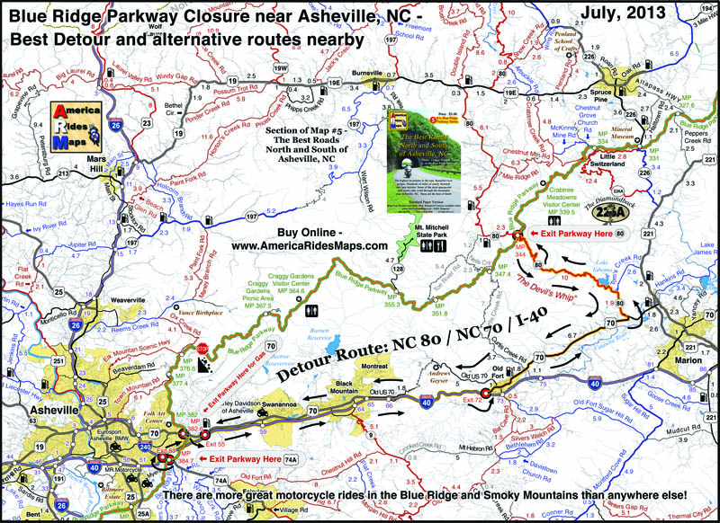
Blue Ridge Parkway Detour Route for Motorcycles – July, 2013
A section of the Blue Ridge Parkway north of Asheville, NC has closed due to a recent slope failure. Unprecedented rainfall in the region has triggered numerous slides, washed out roads and bridges, and caused some flooding in areas. The National Park Service detour routes traffic south and east of this long closed section of the parkway using US 221 through Marion, NC.
Photo courtesy National Park Service – Blue Ridge Parkway crack in road at site of slope failure.
Usually, there is a better route than the “official Park Service Route”, as the park needs to factor in for the large RV’s which cannot easily negotiate steep climbs and sharp turns. Here is a map which highlights the most pleasant way for the motorcycle traveler to bypass the closed section of the Blue Ridge Parkway. It is also the most direct route so you miss as little as possible.
Blue Ridge Parkway detour map 2013
Use this link to a .pdf file of the map here to download or print it for free;
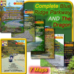
America Rides Motorcycle Pocket Mapscatalogue several hundred of the best motorcycle roads in the Blue Ridge Mountains from north Georgia to north Virginia so you get the most out of your visits. Great rides are linked together with the best connecting roads to keep you rolling on the most enjoyable 2 lane back roads you’ll find anywhere.
Get your maps here ____________________________________________________________________
Wayne Busch
– Wayne Busch lives in Waynesville, NC, where he produces the most detailed and comprehensive and up-to-date motorcycle pocket maps of the Blue Ridge and Smoky Mountains to help you get the most of your vacation experience. See them here – AmericaRidesMaps.com
Riding the Blue Ridge Parkway – Tips; Tame the Tunnels
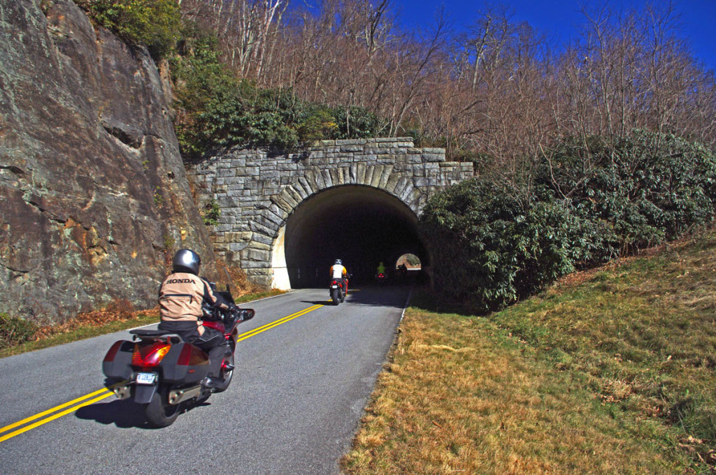
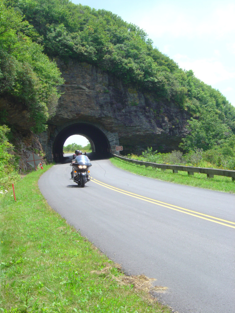
Danger or delight? With 26 tunnels on the Blue Ridge Parkway the experience of rolling under a mountain is common. Most are short, and in many you can see the light at the other side. Still, every one is dark and if you’re riding along in the bright sunlight with your sunglasses on, the sudden plunge into darkness can momentarily blind you. Here are some observations and tips –
Riding the Blue Ridge Parkway Tips – Taming the Tunnels – the contrast can momentarily blind you
Know where they are – there’s only one in Virginia at MP 53.1 approaching the James River area. The remaining 25 are in North Carolina. A few are near Little Switzerland, but there are two areas to really plan for them – climbing from the French Broad River in Asheville to Mt. Pisgah, and descending from Soco Gap at Maggie Valley to Cherokee. You’ll hit 9 or so in sequence as you climb or descend from the highest section of the Parkway which lies between these points. If you are coming into one of these sections and the tunnels are a problem for you, it may be time to go without the sunglasses through here.
Riding the Blue Ridge Parkway Tips – Taming the Tunnels – It’s pretty easy to just follow the lights, but give plenty of room. The first guy is doing all the work. Be ready for the unexpected.
Use your lights , all of them – motorcycles are required to burn headlights at all times in North Carolina, but even so, they may not do the job in these dark tunnels. Flip on the brights. That will help light up the reflectors along the wall.
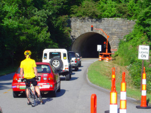
Riding the Blue Ridge Parkway Tips – Taming the Tunnels – Tunnels need a lot of maintenance. Slow down when the workers are there.
Watch for hazards – Keep alert for bicycles. They too are required to have lights on the Blue Ridge Parkway, but they won’t be as bold as on a vehicle. Watch for those dim flashing red strobes at the side of the road. Also keep an eye out for wet spots which are common in the tunnels. Cars often slow a bit when in the tunnels, expect it.
Riding the Blue Ridge Parkway Tips – Taming the Tunnels – Be alert for bicycles in the tunnels.
Don’t look down – The tunnels are not only dark, but they curve. You need to keep your eyes ahead. Pay attention to the wall of the tunnel where your brights will illuminate a piece of it ahead of you. It will guide you through.
Riding the Blue Ridge Parkway Tips – Taming the Tunnels – even the short ones often have wet spots, debris, and other things to watch for. In cold weather be wary of ice.
– Wayne Busch lives in Waynesville, NC, where he produces the most detailed and comprehensive and up-to-date motorcycle pocket maps of the Blue Ridge and Smoky Mountains to help you get the most of your vacation experience. See them here – AmericaRidesMaps.com
Don’t Let This Happen to Your Motorcycle Trip Next Year. A single word can make the difference.
Blue Ridge Parkway view – Give yourself permission to let this happen to you
The end of the year approaches. The holy days are behind us, and I look with dread at the incessant barrage of recaps, summations, and “the year in review” coming in the media as we approach 2013. It can drive me crazy; let’s face it, you and I were there. I’m not a “look back” kinda guy. Been there, done that, memories made, lessons learned.
Nor am I one to embrace the “New Year’s Resolution” mantra as we all know how rarely they endure beyond the morning after hangover. Reality has a painful way of drawing us back to our old habits and familiarity breeds contempt for change.
Don’t deny yourself the experience. Open the door. It’s already there and waiting. You just need to beleive it will happen.
Still, we all dream, desire the adventures in life, the glorious experiences and challenges of our “bucket lists”. If only there were something that could trigger these events, some trick, some key that unlocks that fantasy future of riding our motorcycles on that empty road through a paradise of wonder and beauty, sun on the shoulders, wind in the face.
Discover the hidden secrets on your motorcycle travels in the Blue Ridge and Smoky Mountains
I know the key, I know what makes things happen, and I want to share it with you. It’s one simple word that can change your motorcycle riding future if you embrace it;
– Just say YES.
Give yourself permission. Unlock the doors of possibility. As soon as you say YES, you have created the possibility which was not there before for that great motorcycle trip to happen.
Yes or no? Will this be you on your motorcycle in 2013?
Before the planning, before the goal, before the first step of that 1000 mile journey, you must create the potential for it to happen at all.
With permission granted, I stand ready to help you have the ride of your life! Just say YES!
Sounds kinda kooky and spiritual doesn’t it? But consider the contrast. How likely is it to happen if you instead say NO?
You’ve got nothing to lose, and everything to gain by trying this one simple thing; if you want that bucket list motorcycle ride, that vacation motorcycle trip of a lifetime, that discovery and adventure we two-wheeled souls need to feel alive, give your self permission. Say YES and believe. The rest will follow. I’m here to help.
– Wayne Busch lives in Waynesville, NC, where he produces the most detailed and comprehensive and up-to-date motorcycle pocket maps of the Blue Ridge and Smoky Mountains to help you get the most of your vacation experience. See them here – AmericaRidesMaps.com
Blue Ridge Parkway Motorcycle – Fall Leaf Color, October 12, 2012 South section, Asheville to Cherokee
Blue Ridge Parkway Motorcycle – Fall leaf color; While the leaves have dropped some at the highest points, plenty remains just a little lower.
For bikers riding the Blue Ridge Parkway by motorcycle this year, it’s been another good fall showing of fall leaf color. The weather has been a bit “iffy” at times, but that’s not uncommon during this transitional period of the year.
Blue Ridge Parkway Motorcycle – Fall leaf color; Even where some leaf loss has occurred, the views are still outstanding. Late in the day the golden sunlight really sets them off!
Friday, the colors were just getting near their peak at the highest elevations. A cold front over the weekend brought some wind and rain lingered into the week. Unfortunately the leaves were stripped in many exposed areas. Still, there is plenty remaining to make a motorcycle tour worth the time and effort.
Blue Ridge Parkway Motorcycle – Fall leaf color; plenty of color yet to come at the lower elevations throughout the mountains. It usually lasts well into November.
Above 5000 ft. some color remains, but the real show now is a little further down. You’ll find excursions off the Blue Ridge Parkway onto the many great connecting motorcycle rides still yielding a spectacular view of natures glory.
Blue Ridge Parkway Motorcycle – Fall leaf color; The lower elevations are just beginning to show the full spectrum of all the hues of the leafy rainbow.
Don’t miss opportunities to get off onto the back roads where there are some outstanding displays of not only great leaf color, but beautiful mountain scenes that reward the wanderer year-round. AmericaRidesMaps.com will help you find them!
NC 215 fall leaf color – motorcycle rides nc – NC 215 has currently got some great shows of color as well as the scores of roads shown on America Rides Maps in the surrounding area. Be sure to check them out!
– Wayne Busch lives in Waynesville, NC, where he produces the most detailed and comprehensive and up-to-date motorcycle pocket maps of the Blue Ridge and Smoky Mountains to help you get the most of your vacation experience. See them here – AmericaRidesMaps.com
Blue Ridge Parkway to Tail of the Dragon Map – how to connect 3 of the best motorcycle rides – click for larger view
Many who ride motorcycles on the The Blue Ridge Parkway when motorcycle touring then go on to ride The Dragon at Deals Gap. If you can afford the time, you can make a nice loop ride which connects The Dragon and the Cherohala Skyway using TN 72 / 360.
Best Blue Ridge Parkway Overlooks – highest point. The long sweeping overlook compliments the great sweeping views
The southern end of the The Blue Ridge Parkway is near Cherokee, NC. The map includes Maggie Valley / Waynesville as it’s one of the best locations to stay to enjoy the wealth of great motorcycle rides in the surrounding area.
Blue Ridge Parkway to Tail of the Dragon Map – riders come from around the world to experience the Dragon at Deals Gap.
Time / distances are from the eastern junction of the roads for riders starting from Maggie Valley / Waynesville. US 74 is the principal 4 lane road – scenic for a highway, the most direct route east / west. US 19 leads west from Maggie Valley, passes through Cherokee and Bryson City. It’s more curvy, passes through the Cherokee Indian Reservation, and takes a bit longer due to traffic.
Blue Ridge Parkway to Tail of the Dragon map – The Cherohala Skyway offers sweeping curves and views to match with scenic overlooks at 5000+ ft.
Approaching Deals Gap and The Dragon, NC 28 is also one of the top rated roads in the area a.k.a the Hellbender or Moonshiner 28 and leads you to the start of the best section of The Dragon near the NC / TN state line.
Blue Ridge Parkway to Tail of the Dragon map – NC 28 leads you to The Dragon. It traces the shoreline of Fontana Lake and is both beautiful and challenging.
So long as you are in the area, don’t forget about another well known motorcycle ride in Georgia – The Gauntlet. It’s only a short ride to reach it, and you’ll have experienced the best of the southern Blue Ridge motorcycle rides.
The Gauntlet Motorcycle Ride in Georgia – rounding a curve on GA 348
– Wayne Busch lives in Waynesville, NC, where he produces the most detailed and comprehensive and up-to-date motorcycle pocket maps of the Blue Ridge and Smoky Mountains to help you get the most of your vacation experience. See them here – AmericaRidesMaps.com
I don’t remember much, it was almost 40 years ago. My first thought when I regained my senses was to find the piece of the bike which had the key in it – didn’t want somebody stealing it. Obviously, I was still rattled a bit. That was the last ride for that Honda CB 450.
I remember the dog that shot out of nowhere as I rode home, I may have been coming from high school. It came running out of a cow field and right into the bike. Almost went down, but found myself riding along the sandy shoulder of the road. Hardly suited to off-road riding, I was rolling on the throttle to keep the front wheel of that heavy Honda from washing out in the soft sand, picking up speed.
I remember thinking I was doing pretty good on this bike in those conditions, heck, I’d saved it, but making the coming curve meant I needed to be back on the pavement. I picked my spot only to find there was a deep gully where so many cars had run wide and a mound of patch built up in a futile attempt to fill it.
I remember the loud bang as the front wheel hit the asphalt.
I remember looking straight down at the pavement as the now vertical bike landed on the front wheel and for an instant it seemed to balance and roll along in control. Then the bars were jerked violently from my hands as the front end buckled, and it was slow motion silence as I floated through the air doing a somersault.
I remember thinking“This is going to be a bad one”.
Looking at my helmet my head probably contacted first. Considering my injuries, I then laid out on my back and slid down the road and into the pasture. The bike probably took out the barbed-wire fence just before I went through it, no deep cuts or lacerations.
I remember walking along the road thumbing for a ride. I knew there was a fire station nearby, if I could get there they could help me.
I remember the cars slowing down, I looked fine from the front, then taking off when they saw the bloody mess where all the skin had been taken off my back. The light cotton shirt and blue jeans I was wearing in the summer heat of Florida might as well have been paper. No protection at all. Last time I would ever ride without at least a jacket.
I spent the next few weeks lying face down on the fold-out couch as my wounds healed. Most of that was in a codeine stupor. Seems every joint in my body had donated some flesh. A few scars remain, but the years have faded most of them. There would be more to come before I learned the value of leather and then textile gear.
I don’t often tell this tale. There are others. So why bring it up?
I spent a few hours this weekend at a rally. Don’t really like doing events, it can be pretty boring. You end up doing a lot of people watching.
Many of the riders were from out-of-state, groups from Georgia, Florida. Standard biker attire, blue jeans and a t-shirt. Some wore shorts. Slip on shoes. Many of the passengers wore only jeans and a tank top. Some pretty ladies. Not even wearing gloves. The smallest skid lids that would keep you from getting pulled over.
I went through my recent photos. All too common attire. Photos of riders on some of the most challenging roads they will ever see, for the first time. You can often see the look on their faces that tell the ride is demanding something from them.
WAKE UP PEOPLE. Riding in the mountains is some serious sh*t. RESPECT IT.
Go off the road up here and road rash will probably be the best of outcomes. We’ve got rocks and trees right up to the roadside. You’ll probably be plunging over a steep hillside or worse yet a rocky cliff. It takes hours to get a rope team out to haul your inured body up to the ambulance.Show some freakin’ respect for it.
Word to you “easy riders” – watch the video – You know who you are. Low and slow and always in control. Too hot to wear gear. I like the feel of the wind and the sun, yadda, yadda, gonna work on my tan. Gotta look the part with the right biker attire – blue jeans, your biker t-shirt, the tiniest helmet you are forced to wear – I never planned any of the motorcycle accidents I’ve had. Most happened relatively close to home. Just a short ride, a commute, running to the store, work, school, going to hang out with my buds, etc. Almost all have been under 30 mph. Just riding along minding my own business, taking it easy, la-la-la. If there was skin exposed, it was skin in the game, skin lost.
PS – I’m not just posting this for you flatlanders – it’s pretty common up here as well. As if that big fat bike is going to protect you. Gotta look the part, dress like everyone else, feel the freedom! WAKE UP. Think about all those times you’re rounding a curve and there’s a car half in your lane coming at you. All those times some old geezer pulls out at 10 mph in front of you. It’s always the worst of curves where the cars slip off the inside edge and kick gravel and rocks onto the road. You KNOW it happens. You KNOW what I’m talking about.
Forget the blue jeans. Useless. Repeated personal experience. You’ve got 2 choices – textile or leather. If you can get some armor in there it will help keep bones from breaking. Respect the ride. If you don’t need it, at least respect your rider and get her the right gear. She’s trusting in you, do her right.
If there is skin exposed, it is skin in the game, a game you are forced to play every ride.
—————————————————————————–
Wayne Busch - Cartographer
Learn Total Control
____________________________________________________________________
– Wayne Busch lives in Waynesville, NC, where he produces the most detailed and comprehensive and up-to-date motorcycle pocket maps of the Blue Ridge and Smoky Mountains to help you get the most of your vacation experience. See them here – AmericaRidesMaps.com