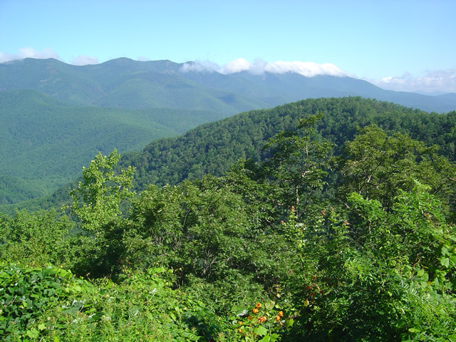
Favorite Blue Ridge Parkway Motorcycle Pit Stops – Chateau Morrisette, VA

Photo-Chateau Morisette on the Blue Ridge Parkway

Chateau Morrisette on the Blue Ridge Parkway

The romantic relationship we have with Chateau Morrisette winery on the Blue Ridge Parkway goes back to a motorcycle trip many years ago. Tired and hungry from a long day on the lower Virginia section of the Blue Ridge Parkway, we stumbled in looking for a bite to eat only to find the kitchen had just stopped serving for lunch. Our disappointment must have radiated as the chef emerged from the kitchen, took one look at us, and said, I’ll take care of them”.

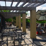
photo-Restaurant-terrace-at Chateau-Morrisette

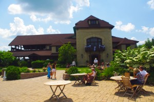
The Restaurant Terrace

We were seated on the beautiful mediterranean style porch with it’s panoramic views of the rolling Virginia countryside. A short time later sandwiches arrived at the table and we devoured one of the best meals we’d had in days. I remember a delicious portabello mushroom  on crustini bread draped in a melted cheese which we accompanied by a glass of Black Dog Red wine and knew we’d found a  heavenly oasis.  I’ve never missed a chance to stop at the Chateau Morrisette since nor ever been disappointed.

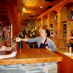
Photo-tasting-room-at-chateau-morrisette

The tasting room

Over the years, the winery has grown in size and reputation. In times past it was one of the few landmarks you could easily identify from the Blue Ridge Parkway. Far out across one of those idyllic mountain farm fields, a long low series of signs spelled out the name of the winery in large letters. Gone now, the only way to find  it is to know where it is and watch for it. Success has meant one of the few advertisements along the Blue Ridge Parkway is no longer needed, and the parkway ethic is enhanced by it’s absence.

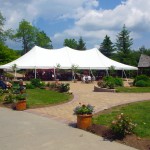
photo-terrace-at-chateau-morrisette

Live entertainment is common on weekends

While the restaurant remains much as I remember it, the new building at the vinyard is now the hub of activity. The regal architecture hosts the tasting room, gift shop, and is the sales outlet for the wines. The terrace outside is the gathering and resting place where patrons sit and enjoy their glasses of local vintage to the accompaniment of snacks and often live entertainment.

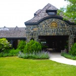
Photo-Chateau-Morrisette-Restaurant

Chateau Morrisette Restaurant

On a weekend visit you’re happy to be on a motorcycle where you can slip into corners in the crowded parking lot. There are frequent events, a stage on the beautiful grounds for concerts and such, it seems there’s always something going on at this popular destination.

Chateau Morrisette winery

Chateau Morrisette is locate at milepost 168.8 on the Blue Ridge Parkway south of Tuggles Gap. Look for Black Ridge Road, then spur off quickly onto Winery Road. You’ll arrive in 0.6 miles.

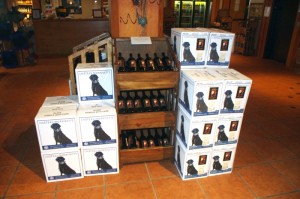
photo-Chateau-Morrisette-Wine

Chateau Morrisette's Black Dog Wines - Tasty

You’ll find Chateau Morrisette and all the surrounding great motorcycle rides in the area on America Rides Maps #3 of the Complete Blue Ridge Parkway seriesNorth Carolina / Virginia Border Rides.

_______________________________________________________________________________

Wayne Busch
Wayne Busch – Cartographer
– Wayne Busch lives in Waynesville, NC, where he produces the most detailed and comprehensive and up-to-date motorcycle pocket maps of the Blue Ridge and Smoky Mountains to help you get the most of your vacation experience. See them here – AmericaRidesMaps.com 


Blue Ridge Motorcycle Touring – Natural Bridge, Virginia

In general, I avoid the touristy sights on my motorcycle travels as I get my kicks from the road. It’s the hundreds of great motorcycle rides in the Blue Ridge and Smoky Mountains I most enjoy, and that is best done with the kickstand up and the throttle open. I need a pretty good reason to park the motorcycle and go for a walk, and Natural Bridge, Virginia, is worth time the time to stop and see.

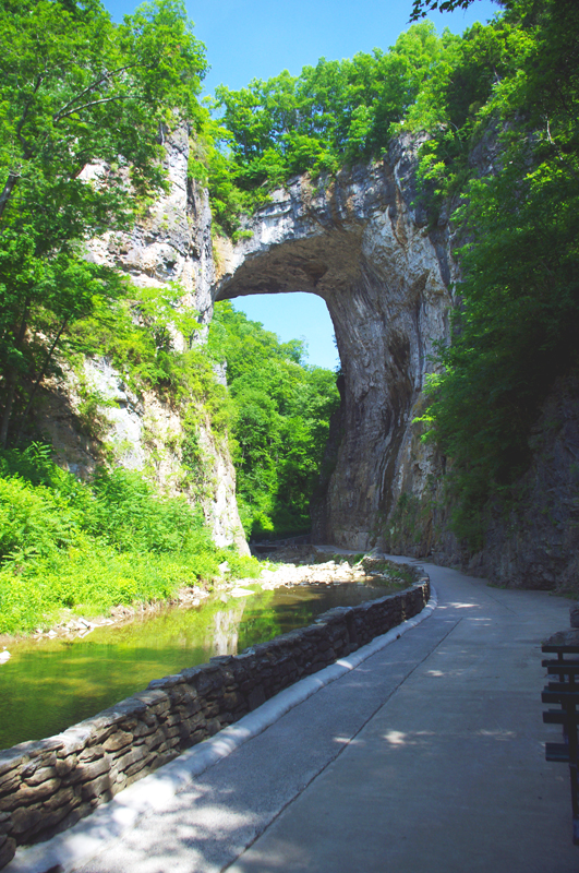
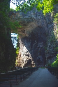
Photo-Natural-Bridge-view

The Natural Bridge, a Viriginia landmark worth seeing.

Photo-Natural-Bridge-Hotel

The Natural Bridge Hotel, a historic landmark

Natural Bridge has been around for a long time. It was already a tourist destination when Thomas Jefferson visited. This 200 foot high natural arch started as a cavern millennia ago. Over the eons erosion collapsed the majority of it leaving only the dramatic and inspiring rock formation that has drawn thousands of spectators over the last few centuries.

Photo-Natural-Bridge-Entrance-and-Gift-Shop

Natural Bridge Entrance and Gift Shop

This long history was part of the attraction for me. There are many early sketches and historic reports of the landmark displayed in the museum, it is part of our national heritage. This legacy though has come at the cost of commercialization of the natural attraction with manufactured ones added to woo the crowds and entice them to part with their dollars.

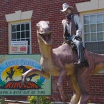
Photo-Cowboy-on-a-dinosaur

I managed to escape the Dinosaur Kingdom

We passed on the wax museum, the butterfly room, and most all the other man-made enhancements designed to lure the tourist. I was particularly amused by the hook for the “Escape from the Dinosaur Kingdom” with a statue of a cowboy riding a dinosaur. Easy to pass on that one, I’m quite satisfied with the Flintsone’s version of pre-history. Yabba-dabba dumb, but I’ll bet the kids like it as well as the Haunted Monster Museum.

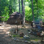
Photo-Indian-village

The Indian Village re-creation.

We did walk the trail to view the re-created native indian village, but it pales in comparison to the main attraction.

We paid $18 a piece for a ticket that gave us partial access to all the attractions. All we really wanted to see was the Natural Bridge. It’s a short walk and worth the time, and while I we could have seen all the other kitschy stuff, I felt my money well spent avoiding it.

A side trip to Natural Bridge, Virginia is an easy and pleasant ride from the Blue Ridge Parkway. Exit near the James River Visitor Center on US 501 (milepost 63.7) or VA 130  a couple miles north (milepost 61.6, and the better ride). Follow Us 501 / VA 130 to Glasgow, turning right on VA 130 to pass through the small town for another 4 miles or so. Don’t worry, you can’t miss it when you arrive.

Photo-Natural-Bridge-view

View of the other side of the Natural Bridge

Natural Bridge, Virginia

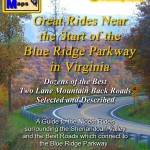
The Natural Bridge and other scenic attractions nearby are found on Map #1 of the 6 map Blue Ridge Parkway series of motorcycle pocket maps by America Rides Maps. Don’t miss all the great motorcycle rides in this area.

Image-map-cover

Great rides Near the Start of the Blue Ridge Parkway in Virginia

_______________________________________________________________________________

Wayne Busch
Wayne Busch – Cartographer
– Wayne Busch lives in Waynesville, NC, where he produces the most detailed and comprehensive and up-to-date motorcycle pocket maps of the Blue Ridge and Smoky Mountains to help you get the most of your vacation experience. See them here – AmericaRidesMaps.com 

Motorcycle Friendly Places – Paint Bank General Store, VA

Photo-Paint-Bank-General-Store

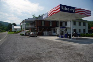
Morning at the Paint Bank General Store, Paint Bank, VA

Though it’s only 1/2 hour west of Roanoke, the tiny hamlet of Paint Bank on Highway 311 sits like a jewel surrounded by rolling green hills and pastoral country that makes the busy city seem a million miles away. This is spectacular motorcycle riding country and bikers flock here to enjoy the long winding rides through narrow valleys which lead south towards Blacksburg, Christiansburg, and Pembroke. The beautiful wilds of West Virginia lie just over the western horizon, and the roads north twist and turn through forests teaming with wildlife.

Photo-Paint-Bank-General-Store

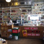
A for-real General Store! Cool!

Jackie and I came in from the north on VA 615, a ride through woods so wild we had to cruise with care to avoid all the critters in the roadway. Deer and turkey were abundant, a slew of painted turtles awaited their doom on the pavement, a fox, hawks, and all sorts of other animals either watched us pass or darted off into the greenery as we approached.  We paused in Newcastle for a rest, then pointed our wheels west on 311 to make the curvy fabulous climb and descent over Potts Mountain into the valley to arrive at scenic Paint Bank.

Photo-Paint-Bank-General-Store-motorcycles

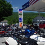
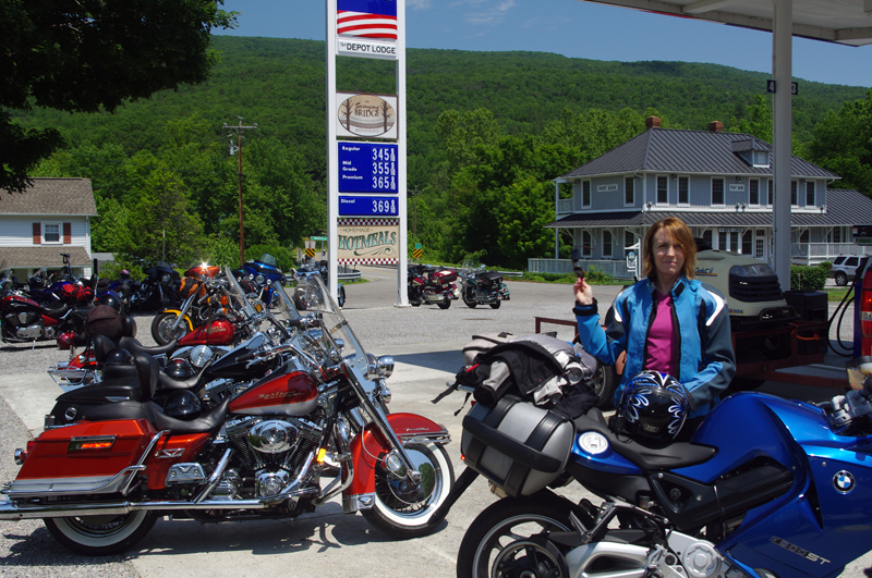
The lunch crowd has arrived!

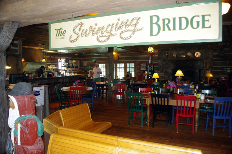
Eager to get on to the next curvy climb we stopped at the Paint Bank General Store for a potty break and to top off our tanks, but as the noon hour approached we soon abandoned our ride into West Virginia to return to the Paint Bank General Store, lured back by the promise of tasty locally raised buffalo burgers in the inviting and charming rustic setting of the Swinging Bridge Restaurant.

Photo-Swinging-Bridge-restaurant

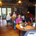
The buffalo burgers were great!

In the short time we’d been gone the parking lot at the Paint Bank General Store had been taken over by motorcycles with the same ambitions as us and more arrived every few minutes. “Motorcycle parking only” signs lined the periphery of the  lot and the crowd of bikes spilled over to fill the remaining space. Some milled about on the porch, others hosed the bugs off their chrome with the convenient hose, but most found their way to the restaurant to enjoy the food and comfortable atmosphere.

Photo-Paint-Bank-General-Store

Bikers flock here for lunch

The Paint Bank General Store – A unique place in a beautiful setting with gas and good food surrounding by outstanding motorcycle rides and biker friendly. What more do you need?

Paint Bank General Store

Swinging Bridge Restaurant

Paint Bank info

Photo-Paint-Bank-General-Store

Great food, wonderful riding, the Paint Bank General Store and Swinging Bridge Restaurant was one of the highlights of our Virginia motorcycle riding

Photo-Swinging-Bridge-Restaurant

Great food in a fun and relaxing atmosphere at the Swinging Bridge Restaurant located in the back of the Paint Bank General Store.

_______________________________________________________________________________

Wayne Busch
Wayne Busch – Cartographer
– Wayne Busch lives in Waynesville, NC, where he produces the most detailed and comprehensive and up-to-date motorcycle pocket maps of the Blue Ridge and Smoky Mountains to help you get the most of your vacation experience. See them here – AmericaRidesMaps.com 

Motorcycle Touring – Sights: Spectacular Roadside Waterfall in VA

Photo-Falling_spring-VA

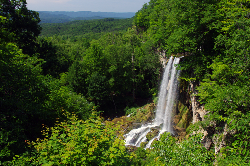
Falling Spring on US 220 north of Covington, VA

Located about 4 miles north of Covington, Virginia, Falling Spring has been an attraction referenced as far back as Thomas Jefferson. It’s an easy to locate, well marked pull off on this curvy section of US 220 (a.k.a Sam Snead Highway).

Jackie and I passed through here Sunday on our motorcycle ride as we explored the wealth of great motorcycle roads west of the north end of the Blue Ridge Parkway. It’s a popular rest stop for bikers who flock to ride this great section of US 220 north of Covington. After revisiting Sam Snead Highway I’ve decided it should be upgraded on my America Rides Maps. I currently show only the portion south from the falls as being a great ride, while in truth the entire section from VA 39 south is outstanding. As much as I’d like to give it my top rating, due to the traffic load I can only feel right listing it as a “Good Connector” road.

For the casual cruiser who’s just out to enjoy the ride through the spectacular scenic countryside it’s a superb motorcycle ride. For those looking for a more spirited approach to the twisty sections, of which there are plenty, you’ll want to ride this one during the off hours and preferably during the week.

This roadside waterfall and the surrounding great motorcycle rides in the area are found on map #1 of The Complete Blue Ridge Parkway 6 Map Series from America Rides Maps.

_______________________________________________________________________________

Wayne Busch
Wayne Busch – Cartographer
– Wayne Busch lives in Waynesville, NC, where he produces the most detailed and comprehensive and up-to-date motorcycle pocket maps of the Blue Ridge and Smoky Mountains to help you get the most of your vacation experience. See them here – AmericaRidesMaps.com 

Just Completed – Update to Blue Ridge Parkway Motorcycle Pocket Map #1

Image - Map Side

Map Side

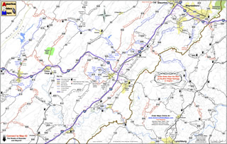
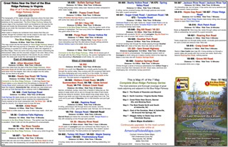
I am proud to announce the release of the most recently updated America Rides Maps Motorcycle Pocket Map in the Blue Ridge Parkway Series – VA016; “Great Rides Near the Start of the Blue Ridge Parkway in Virginia“. It’s taken more than a month of working on it every spare minute to bring it into the new and improved format and incorporate more than 50 additional miles of great motorcycle rides in this region. It contains more than 40 roads which either cross, connect, or lie adjacent to the north end of the Blue Ridge Parkway with detailed info, descriptions of the rides, locations of gas stations and points of interest, and more.

While I’d hoped new cartographic software would speed production times, the process of conversion from simple graphic images to fully digital representations is as laborious and meticulous as before. The benefits are recognized in the ease of future updates as well as the improved clarity that is gained. As I’m constantly updating and improving all the maps, more than a dozen which cover the Smoky Mountains from north Georgia to north Virginia, the effort is worth it. There is nothing else like America Rides Maps motorcycle pocket maps, and best of all I’ve been able to improve the maps without increasing the price, already the lowest on the market.

Image - Description of rides

Description of the rides on the back of each map

I’ve sold thousands of maps and get lots of thankful emails from customers. You love them. Here’s an email I got from a professional motorcycle tour guide, someone who covers thousand of miles in the region and knows it well –

“Your maps are truly awesome.  As you know I have also ridden many miles in NC and surrounding areas laying out our Tours for Blue Strada.  Just yesterday, I was studying your “Best Roads South of GSMNP East.”  You have done riders and drivers a huge service by pointing out all the important little details along the way… I love the Red & Blue definitions of Great and Good roads..  but just looking at gas stations.. and the waterfalls locations make these maps fantastic.  (In fact, I need to get the whole set for NC and GA).  Anyone coming here to ride without a guide could do no better than to get a set of your maps and just start studying the options… of which there are so many… and making their own Tour.  I’m going to send my motorcycle renters your direction in the future… they will be better off than trying to use my Tour maps… “

Bill Kniegge
www.bluestradatours.com
www.wheeljockey.com
POB 1336
Waxhaw, NC 28173
704 292 8801

Get the most out of your motorcycle vacation. Expand the horizons of your motorcycle tour. Discover the roads and sights others will never see. Whether you’re looking for the best shortcut or would prefer to take the long way around, these inexpensive, easy to use, fit in your pocket maps are the best thing going and I can get them to you in just a few days.

Wayne@americaridesmaps.com

http://americaridesmaps.comsee videos of the maps in use

www.bluestradatours.comexpert tours and motorcycle rentals

www.wheeljockey.comI love this gadget. It makes maintenance on the road a breeze.

_______________________________________________________________________________

Wayne Busch

Wayne Busch - Cartographer


– Wayne Busch lives in Waynesville, NC, where he produces the most detailed and comprehensive and up-to-date motorcycle pocket maps of the Blue Ridge and Smoky Mountains to help you get the most of your vacation experience. See them here – AmericaRidesMaps.com


Sights From The Motorcycle Road – Sinking Creek Covered Bridge, VA

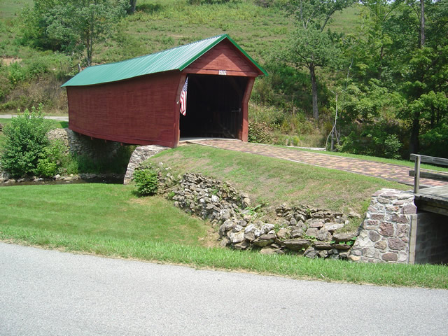
My recent motorcycle mapping explorations skipped back and forth across the border of Virginia and West Virginia. In my travels I came across Sinking Creek Covered Bridge near Newport, Virginia, and as it was a good time to take a pause to catch up on my notes I stopped and snapped a few photos.

Photo - Sinking Creek Covered Bridge circa 1916

Sinking Creek Covered Bridge circa 1916 near Newport, Virginia

It’s not often I stop for photos as I am usually trying to get in as many miles as I can while the daylight permits. On this past trip I covered almost 1700 miles in 3 days, nearly all of it on two lane roads. I ride hard. I rode long. I only pause to take notes and reference my routes.

Sinking Creek Covered Bridge is located on SR 601 – (Clover Hollow Road) and it’s well marked from SR 42 (Bluegrass Trail). The bridge was built in 1916, then abandoned when a concrete bridge was built over Sinking Creek nearby. The landowner refused to accept the bridge and for years it’s ownership was in limbo. in 1955, Giles County claimed it and now “owns” and maintains it though there are no official documents recording the transfer of title.

Photo - Sinking Creek Covered Bridge

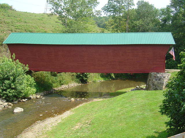
The bridge spans 70 feet and was almost lost to a flood not long ago.

On the side of the bridge opposite the photo above, there’s a stone lined passageway for farm animals to cross the creek. The bridge is closed to vehicle traffic but open to the public to enjoy.

Photo - Sinking Creek Covered Bridge

The bridge is now open for foot traffic only. It would be a tight fit in a modern vehicle regardless.

The back roads are full of sights like this and I am often treated to them in my travels. I should probably stop more often to record them, but time is precious and I have miles to go before I sleep. When they coincide with great motorcycle rides I add them to my motorcycle pocket maps. There’s a pretty good chance this one will make the grade.

America Rides Maps

_______________________________________________________________________________

Wayne Busch

Wayne Busch - Cartographer


– Wayne Busch lives in Waynesville, NC, where he produces the most detailed and comprehensive and up-to-date motorcycle pocket maps of the Blue Ridge and Smoky Mountains to help you get the most of your vacation experience. See them here – AmericaRidesMaps.com


Motorcycle Touring the Blue Ridge Parkway in One Day – What was it Like?

On Thursday I rode the Blue Ridge Parkway on my motorcycle from the start at Waynesboro, Virginia, 469 miles to the southern end at Great Smoky Mountains National Park in North Carolina. As I progressed I paused to snap photos and posted them on Facebook and Twitter. Here’s a recap of the experience;
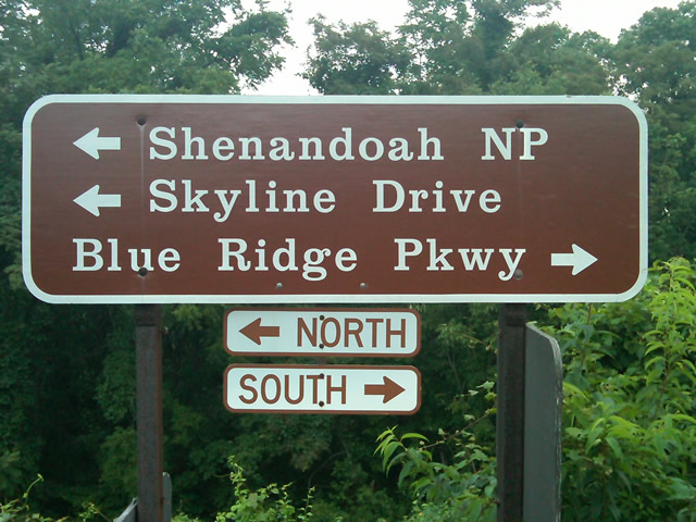
Photo - sign at start of Blue Ridge Parkway

The Blue Ridge Parkway starts where the Skyline Drive ends near Waynesboro, Virginia.

I chose to start at the north end as I knew I’d need to leave at daybreak. The morning fog has been so heavy at the southern end I didn’t want to chance it slowing me down or making for pictures of nothing but white mist. I spent the previous night in Richmond and left before 5 AM to make the 1 1/2 hour ride to Waynesboro in the darkness.
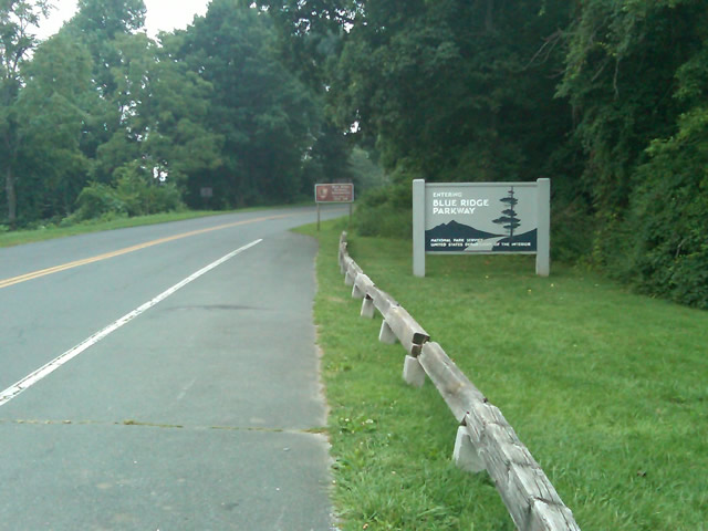
Photo - sign at the start of the Blue Ridge Parkway in Virginia

I took these photos the previous day as I expected it would be too dark to take them on the actual trip. I was right.

I fueled up in Waynesboro, grabbed a cup of coffee and a pack of doughnuts to sustain me, and headed on my way. It would be the last time I stopped to eat or drink. 469 miles is a long way at the 45 mph speed limit. I had no time to waste. At least that was my attitude early on.
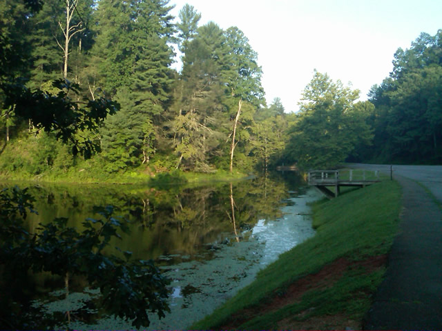
Photo - morning at the lake on Otter Creek

The sun comes up at the lake on Otter Creek. Easy ride so far.

I had the road to myself in the early morning twilight. Within a few minutes I’d seen both deer and turkey. The road starts a gradual climb to elevation here though nothing like the heights reached further south. With no other traffic on the road, my speed crept up a bit, something I’d fight the remainder of the trip. As you get comfortable and into the rhythm of the road, the temptation to take things at your more comfortable pace is always there taunting you. Knowing how far I had left to go didn’t help.
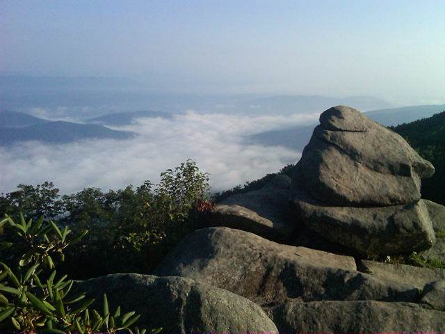
Photo - Above the clouds approaching Roanoke

I paused at this overlook to top up on oil, lube what was left of the chain, and take a few moments to savor the views I was rushing by.

I was also facing the challenge of not knowing if my chain would last the trip. It was already shot before I left, adjusted to the end of the swingarm, far beyond the normal limit. It now sagged precariously and was making noises that had me wondering when it would snap. I’d never seen a chain smoke when lubed before, and I took advantage of opportunities to slather it with lubricant whenever my concerns peaked. I prayed it would not jump the sprockets when carving through a turn and catapult me into a rock face or over a precipice.
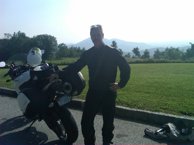
Photo - me and my bike along the Blue Ridge Parkway

A fellow biker snapped this photo of me at a rest stop. Riding from Florida to Maine and back, he and his wife were enjoying the parkway on their return.

Traffic remained surprisingly light through the morning with few holdups to pass slower vehicles. I watched the parkway wake up, the rangers and maintenance crews come to work and start their labors. Finding cell phone coverage to post my photos was always a challenge. You never know when it will be available, sometimes there in what looks like the most unlikely spots, other times absent where you think it should be a strong signal.
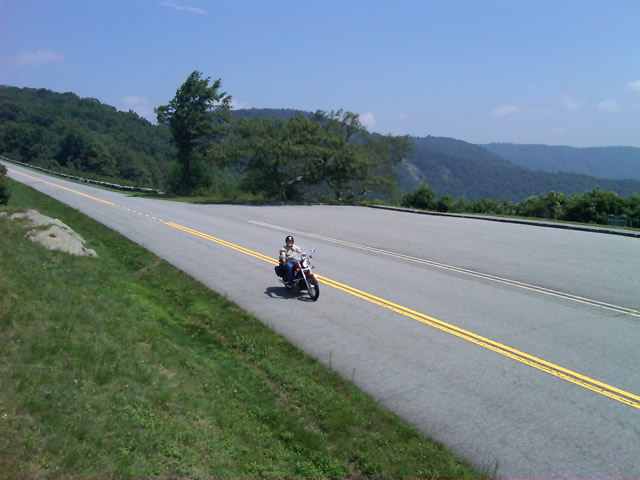
Photo - near Doughton Park

By mid morning there were plenty of other motorcycles on the road. This photo was taken somewhere near Doughton Park.

My first stop for gas necessitated a detour into Floyd, VA. Knowing where the nearest gas stations are is one reason I map the area so throughly. You can waste a lot of time looking for them if you don’t know which way to go. While in Floyd I popped in for a minute to see Derek at the Hotel Floyd, one of my favorite places to stay.
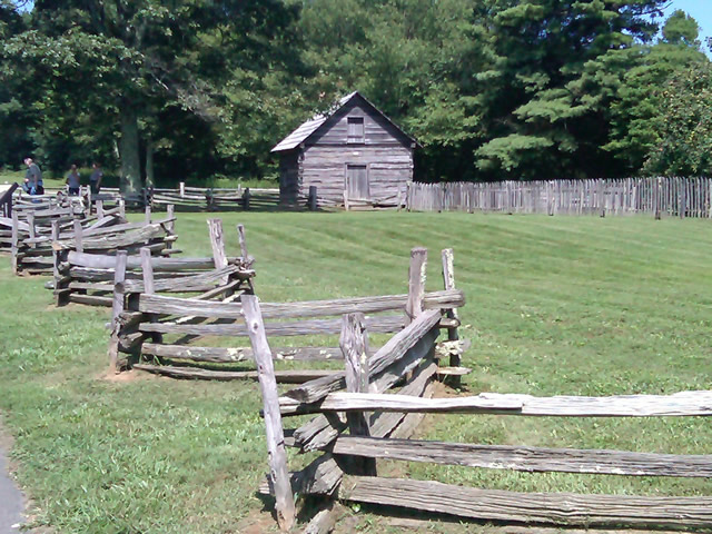
Photo - Historic cabin on the Blue Ridge Parkway

There are a few historic cabins along the road in southern Virginia.

As I crossed into North Carolina and entered the high mountains I knew cell phone coverage would be much more limited. The curves tightened up bit and the road was often wet from spotty showers. It would be another day with temps approaching near 100 in the valleys, but at elevation things remained tolerable so long as I was moving. I somehow avoided all but a slight peppering of rain which felt wonderful at the time.
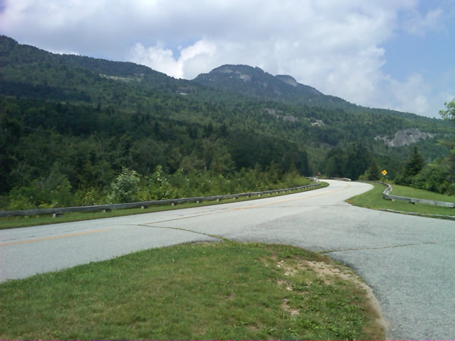
Photo - Grandfather Mountain

Passing Grandfather Mountain I felt I was back on home turf though still a long, long way to go.

Delays had been brief so far, and I planned my next fuel stop to coincide with a quick stop to say hello at the Switzerland Inn in Little Switzerland, one of my favorite places to eat or overnight. I fueled up in Spruce Pine. It was tempting to get a good meal, but I forced myself to press on. The real hold ups came as I approached Asheville. Tree crews and road construction caused significant delays and I hit the “commuter section” during evening rush hour.
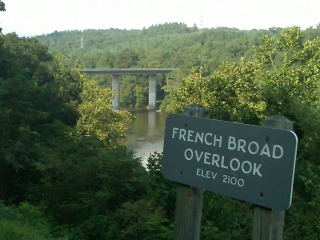
Photo - French Broad River Overlook

It was a great relief to finally cross the French Broad River southwest of Asheville and begin the climb to the highest and most scenic section of the Blue Ridge Parkway.

The sun was drawing near the horizon as I carved my way along the high ridge tops of the section of the Blue Ridge Parkway I consider my back yard. Thunderheads lurked and the road was wet in places, but my luck continued.
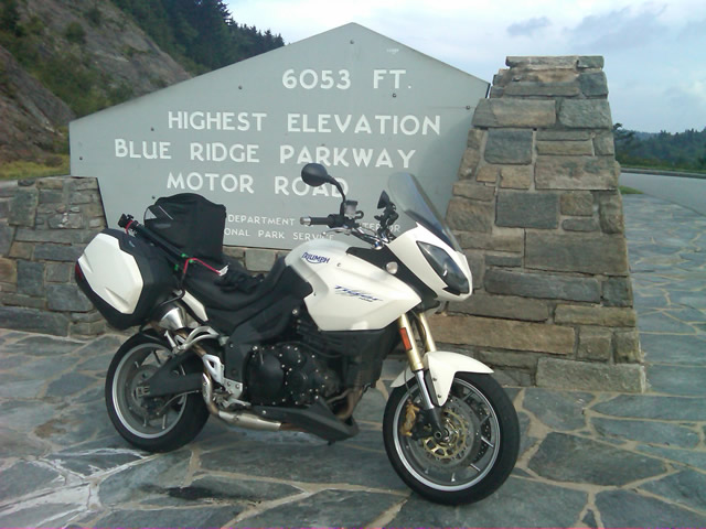
Photo - at the highest point on the Blue Ridge Parkway

Reaching the highest point on the Blue Ridge Parkway, I knew there was less than 40 miles to go to reach my goal.

I reached the southern end of the 469 mile ride with daylight to spare and took a pause at the Oconoluftee Visitor Center in Great Smoky Mountains National Park. I grabbed a few photos but found the battery was now dead on my cell phone. Here they are now –
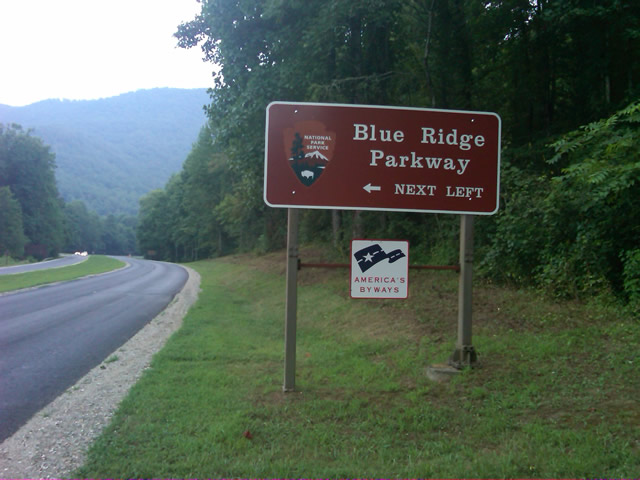
Photo - start of the Blue Ridge Parkway in North Carolina

The Southern end of the Blue Ridge Parkway near the Oconoluftee Visitor Center.

While my Blue Ridge Parkway in a day adventure was completed, I still needed to get home. Noting the evening traffic, I chose to avoid going into Cherokee and got back on the Blue Ridge Parkway now headed in the opposite direction. I rode through to Soco Gap, then passed through Maggie Valley to finally get to my home in Waynesville.
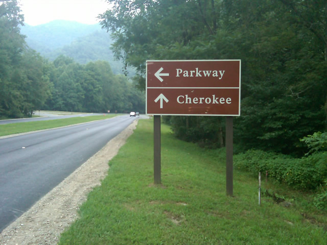
Photo - sign at the southern end of the Blue Ridge Parkway

Go through Cherokee or back the way I'd come? I chose to return home via the Blue Ridge Parkway of course.

My chain lasted the trip. My rear tire is bald. It’s time for some service on the engine. New parts are on order and it will take this week to get the bike roadworthy again. Next week? I might just poke into east Tennessee. I’ve too long ignored the area between Great Smoky Mountains National Park and Knoxville. If I can locate at least a dozen good rides there it will warrant a new motorcycle pocket map. I discovered some great roads along the Virginia / West Virginia border on this trip, several of which will be added to existing America Rides Maps. It will take a few more trips north to determine how the map of that region will lay out but it will come. For now, it’s catch up on the work I left, update the existing maps with the new rides I discovered, and make preparations for the roads ahead.

America Rides Maps on Facebook

America Rides Maps on Twitter

America Rides Maps – the best motorcycle pocket maps money can buy

_______________________________________________________________________________

Wayne Busch

Wayne Busch - Cartographer


– Wayne Busch lives in Waynesville, NC, where he produces the most detailed and comprehensive and up-to-date motorcycle pocket maps of the Blue Ridge and Smoky Mountains to help you get the most of your vacation experience. See them here – AmericaRidesMaps.com


Follow Me Thursday as I ride the Blue Ridge Parkway end-to-end in One Day

Image - Join Us on the Road to Adventure!

Follow my progress with hourly photo updates on Twitter and Facebook

To continue my celebration of mid-summer motorcycle madness, on Thursday I will get on the Blue Ridge Parkway in Waynesboro, Virginia, and ride it 469 miles through to the southern end at Great Smoky Mountains National Park near Cherokee, North Carolina.

As I go I will make hourly stops to tweet a photo and report on my progress so long as I have cell phone service.

Why not check my progress from time to time on Twitter – americaridesmap

and Facebook – facebook.com/americaridesmaps

I’m not trying to set a record or even establish a benchmark for someone to beat. The hourly stops will insure there is no record to speak of. Admittedly, it’s the worst way to experience the Blue Ridge Parkway, which should be done as slowly as possible with as many side trips as you can afford.

Still, curiosity has got the best of me, and I’ve never done it before nor heard of anyone doing it, so why not?

Follow along with me Thursday!

_______________________________________________________________________________

Wayne Busch

Wayne Busch - Cartographer


– Wayne Busch lives in Waynesville, NC, where he produces the most detailed and comprehensive and up-to-date motorcycle pocket maps of the Blue Ridge and Smoky Mountains to help you get the most of your vacation experience. See them here – AmericaRidesMaps.com
 

Blue Ridge Parkway Motorcycle Road Construction Report / photos 7-14-10

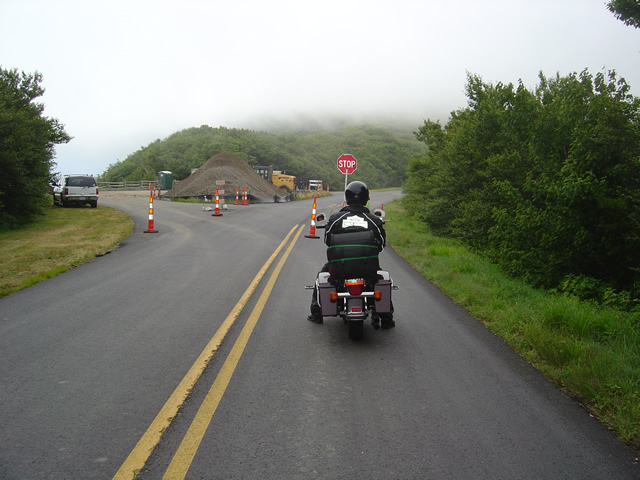
Photo - stopped on the Blue Ridge Parkway

A short delay between Mt. Mitchell and Craggy Gardens near the roadwork.

I took a motorcycle ride through the North Carolina section of the Blue Ridge Parkway to confirm my suspicions this morning. Even with the heavy fog up high it was clear that the bulk of the Blue Ridge Parkway paving work in North Carolina has been completed. While work continues, the major roadwork between Asheville and Mt. Mitchell is done and you may expect smooth new pavement on your next motorcycle ride.

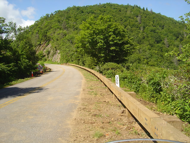
Photo - section of new Blue Ridge Parkway guardrail

The new wooden guardrails are much heavier and a little higher than the ones they replace

The focus has now shifted to the margins of the road as the drainage is being cleaned and groomed, trees are being trimmed, and most significantly, new wooded guardrails are being installed. You will hit short delays when you come upon this work. North of Mt. Mitchell State Park you’ll still hit some bumpy areas of road. The worst of the pot holes are being filled and patched.

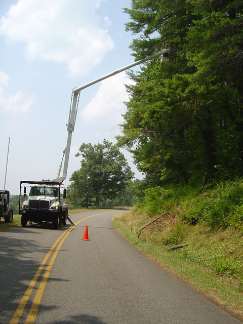
Photo - tree trimming on the Blue Ridge Parkway

The most extensive tree work is on the Virginia side of the border where much of the winter damage is yet to be removed.

Further north on the sections of the Blue Ridge Parkway near the North Carolina and Virginia border, you’ll still run into sections being paved, though nothing as extensive as what was done to the south.  On the Virginia side of the border, the paving is in short sections and along the edges of the road. I’m hoping this is just laying down a base for a fresh coat of pavement over the top as some of the patched areas dip lower than the untouched sections of road and you’ll notice the drop. I’m impressed with the stone work being done to construct the drains.

Photo - Clouds hug the tops of the black Mountains this morning

Take time to pause and look at the Black Mountains, some of the most rugged and beautiful peaks in the south. Clouds hugged the tops this morning.

Overall, delays are brief, you’ll hit more in Virginia right now, but the work that has been done was needed and welcome. No major changes at the rock slide area south of Asheville – one lane remains open controlled by a traffic signal.

Wayne from America Rides Maps

Home from Motorcycle Adventures in Virginia

Photo - Me at the pub at the Switzerland Inn

A cool brew at the pub at the Switzerland Inn last night. It was not the last of them.

We’re back from our brief three day trip north on the Blue Ridge Parkway. It was a semi-working trip in that Jackie tagged along. That changes the focus and the daily plans dramatically from my usual road-warrior approach. Even so, we accomplished a lot and I have a ton of new information to pass along.

I’ll get to it little by little as I now must catch up on the things left unattended. We added almost 50 miles of new roads to one of the maps (and I still have a few new motorcycle rides to go back and check into). I got a firsthand look at the construction and cleanup work on the Blue Ridge Parkway through North Carolina and Virginia and there’s some great news to relate. We found a wonderful place to stay in Virginia, the Hotel Floyd. I picked up a lot of new info to add to the maps. We found ourselves at the Switzerland Inn more than once and loved every minute of it. I shot a load of video to go through.

We braved the heat, wore out a tire, fought with the electronics, lost a headlight, dealt with a minor crisis at home, and generally had a great adventure. It will be the last with Jackie for a while as she returns to start a new job. I returned home to find the new printer on a pallet in the back of my truck (thanks Mom). It’s larger than expected and I’m not sure I can lift it. Office redesign and build new furniture ASAP.

So many things to do I’m making a list to prioritize. #1, take a few hours down time.

_______________________________________________________________________________

Wayne Busch

Wayne Busch - Cartographer


– Wayne Busch lives in Waynesville, NC, where he produces the most detailed and comprehensive and up-to-date motorcycle pocket maps of the Blue Ridge and Smoky Mountains to help you get the most of your vacation experience. See them here – AmericaRidesMaps.com