Motorcycle Loop ride near Floyd, VA

Motorcycle Loop ride near Floyd, VA

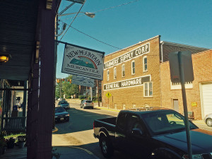
Downtown Floyd, VA

Downtown Floyd, VA

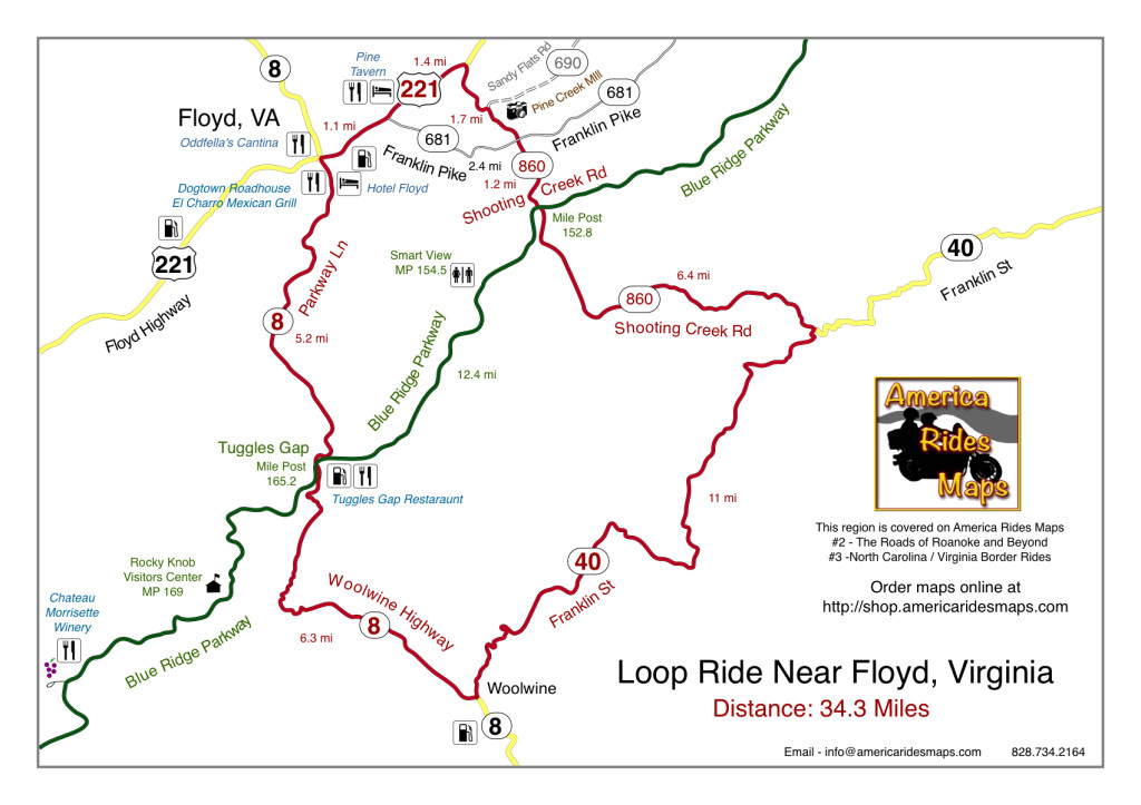
This motorcycle loop ride near Floyd, Virginia intersects the Blue Ridge Parkway at two points. You can do either half (north or south of the parkway) or the whole 34.3 miles.

The small and historic town of Floyd, Virginia is located about 5 miles from the Blue Ridge Parkway, about 160 miles into the 469 mile ride. Noted for it’s celebration of local music, the picturesque shops, and a few very good places to eat and stay, Floyd makes a nice layover on your Blue Ridge Parkway motorcycle tour.

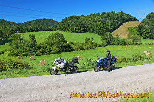
Southern Virginia Countryside

Southern Virginia Countryside

This motorcycle loop ride gives you a nice taste of the variety of great roads found in the southern Virginia region which surround the town of Floyd. Rolling hills, pastoral farms, lazy rivers and streams predominate the landscape. You’ll find both relaxed cruising, tight and twisty climbs, and tiny little back roads sneaking through the hills. It’s an opportunity to slip into town and refuel your bike and belly, or make a spicy diversion off the relaxed riding of the park road.

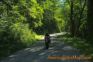
Shooting Creek Road

Shooting Creek Road

Directions (clockwise):

Starting in downtown Floyd where VA 8 and US 221 cross, follow US 221 north 2.5 miles to reach Shooting Creek Road (VA 860).

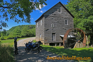
Shooting Creek Road is a tiny back road which leads out through the farmland then into the woods as it traces along the waterway. If you watch for unpaved VA 690 at a sharp curve, you’ll see the Pine Creek Mill, a nice stop for a photo.

Pine Creek Mill

Pine Creek Mill

Shooting Creek Road crosses Franklin Pike then continues south to reach the Blue Ridge Parkway. It is poorly marked at the parkway. Cross the park road and continue south to reach VA 40.

VA 40 has both easy cruising and some very tight curves as it takes you east to Woolwine to meet VA 8.

VA 8 will take you north climbing to reach the Blue Ridge Parkway at Tuggles Gap. You’ll find both easy cruising and some exciting hairpins are you reach the crest. Pass under the parkway and continue back into Floyd.

Motorcycle loop ride map near Floyd, VA

Click for full size

————————————————————————————

wayne busch - Smoky Mountain Motorcycle Rider.com

Wayne Busch

– Wayne Busch lives in Waynesville, NC, where he produces the most detailed, comprehensive, up-to-date motorcycle pocket maps of the Blue Ridge and Smoky Mountains to help you get the most of your vacation experience. See them here – AmericaRidesMaps.com

How long to ride the Blue Ridge Parkway on my motorcycle?

How long to ride the Blue Ridge Parkway on my motorcycle?

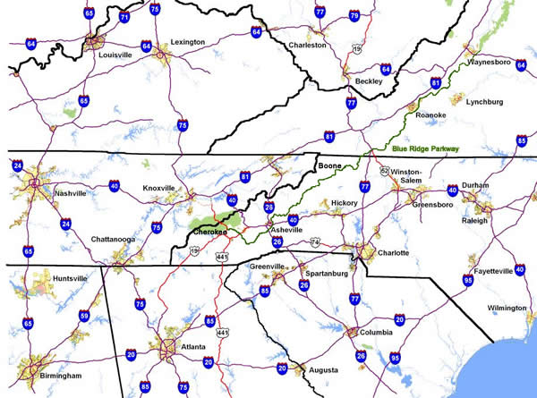
Budget at least 2 days for your motorcycle ride on the Blue Ridge Parkway –
Map - How long to ride the Blue Ridge Parkway?

Getting to the Blue Ridge Parkway is a days ride for half the population in the US.
Blue-Ridge-Parkway-humback-rocks-overlook

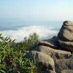
Blue Ridge Parkway – Humpback Rocks Overlook in Virginia

While you can ride the entire 469.1 mile long Blue Ridge Parkway on your motorcycle trip in a single day, I strongly advise against it. I’ve done it, and trust me, you will not enjoy the experience like you should. It takes strategic planning and uncomfortable endurance to go end-to-end in a day on a motorcycle ride.
blue-ridge-parkway-spiral-curve-sign

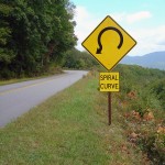
Blue Ridge Parkway – Some tricky curves await on this great motorcycle ride!

The simple math is misleading – at an average speed of 45 mph and 469 miles to cover, it seems like a little over 10 hours of saddle time on your motorcycle tour does the trick. For many riders on a fully laden bike, the challenge of the mountain roads leads to a speed closer to 35 mph. You’ll also come across car traffic which finds this reduced speed more comfortable and few opportunities to pass.
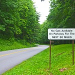
photo-no-gas-sign-on-blue-ridge-parkway

This sign is a legacy to when gas was available on the Blue Ridge Parkway. It should now read “No gas next 400 miles”. There is no gas on the Blue Ridge Parkway.

Additionally, there is no gas on the entire ride. You’ll need to leave the parkway to fill up. Choose the wrong exit and that gas station may be 15 miles down a steep and twisty mountain road. Most of us like to eat, and there is only one Park Service Lodge left on the ride, so you’ll be diverting into nearby towns adding additional time.

So how do you do it best when time is tight?

I recommend starting at the north end in Waynesboro, Virginia. If you are going to try to cover as many miles as possible with few stops, do this in the Virginia section. The road is a bit more relaxed, the elevations not as high, and while the views are outstanding, they are not as spectacular as those in North Carolina. There are more wooded sections, and it gives you a chance to get used to the curves before you get into the more serious challenges to the south.
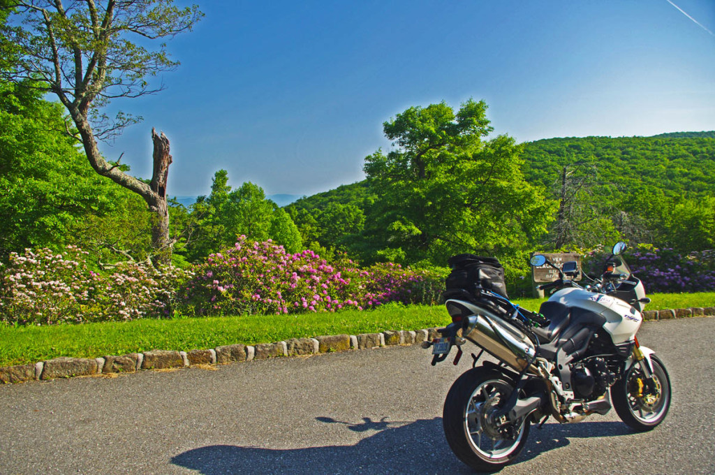
photo - Virginia blooms on the Blue Ridge Parkway

June on the Blue Ridge Parkway means flowers! A great time to enjoy the ride.
Rocky-knob-cabins

Blue Ridge Parkway – Rocky Knob Cabins – a nice stop but come prepared with your own food and drink.

Set your sights to get across the border and into North Carolina on that first day. You’ll still have time to stop at some of the nicer overlooks and if you’re making good time you can even visit some of the roadside attractions along the way. As you get near the border you’ll find lots of places to lay over for the night. In Virginia, I usually head for Floyd or Hillsville, or take one of the many cabins located near the Parkway. Be aware, if you do choose a cabin along the way, you’ll need to bring in your own food or eat before you get there. Chateau Morrisette has great food, and you can stuff a bottle in the bags to bring to the cabin.
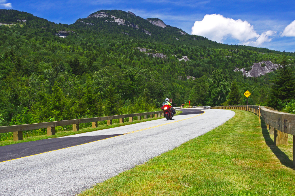
photo - grandfather mountain on the Blue Ridge Parkway

Grandfather Mountain south of Boone starts the climb into the high mountains of North Carolina
Photo - View of the grounds at the Switzerland Inn

The Switzerland Inn – A beautiful Resort on the Blue Ridge Parkway, one of my favorite stops

On the North Carolina side of the border, most choose to stay in or around Boone. You’ll find lots of lodging options here, and plenty of good places to eat in town, though you will have to deal with the traffic. If you are making really good time, the last place I’d suggest is the Spruce Pine / Little Switzerland area, the Switzerland Inn is a fabulous stop right on the parkway with nice rooms and great food as is the Skyline Inn nearby. Once south of here, there is a long stretch of empty road before you come into the city of Asheville.

Savor your second day. Once you get south of Boone, you start to climb into the high mountains. This is the time to slow down, take advantage of the numerous overlooks, and get those photos. You’ll also hit some of the trickiest turns and curves. Take your time, relax, and enjoy.
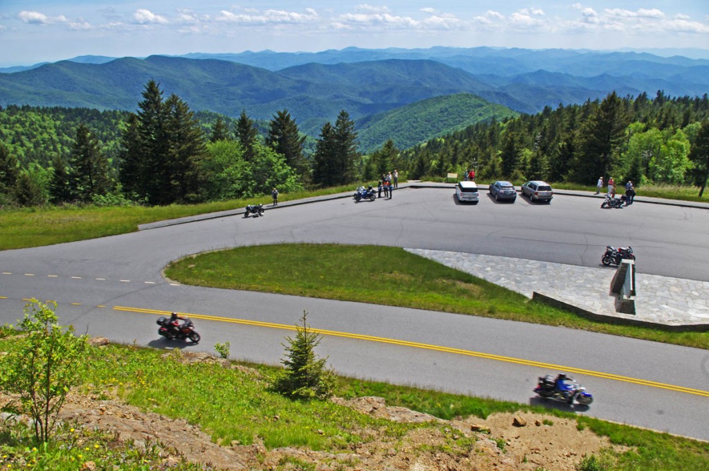
Best Blue Ridge Parkway Overlooks - highest point

Best Blue Ridge Parkway Overlooks – highest point. The long sweeping overlook compliments the great sweeping views

Strategic planning is critical on the southern end of the Blue Ridge Parkway. You’ll be riding through long remote sections of road with few facilities nearby. I suggest fueling up in Asheville. You’ll find gas stations closest to the parkway here. It’s also a good place to stop for food, it’s hard to find a bad meal in Asheville. While it’s the second largest city on the Blue Ridge Parkway (after Roanoke, VA), it’s easy to navigate and a fun place to spend a little time. While the only remaining Park Service Lodge, the Pisgah Inn,  is just south of Asheville, and has great food and views, expect a wait to get served.
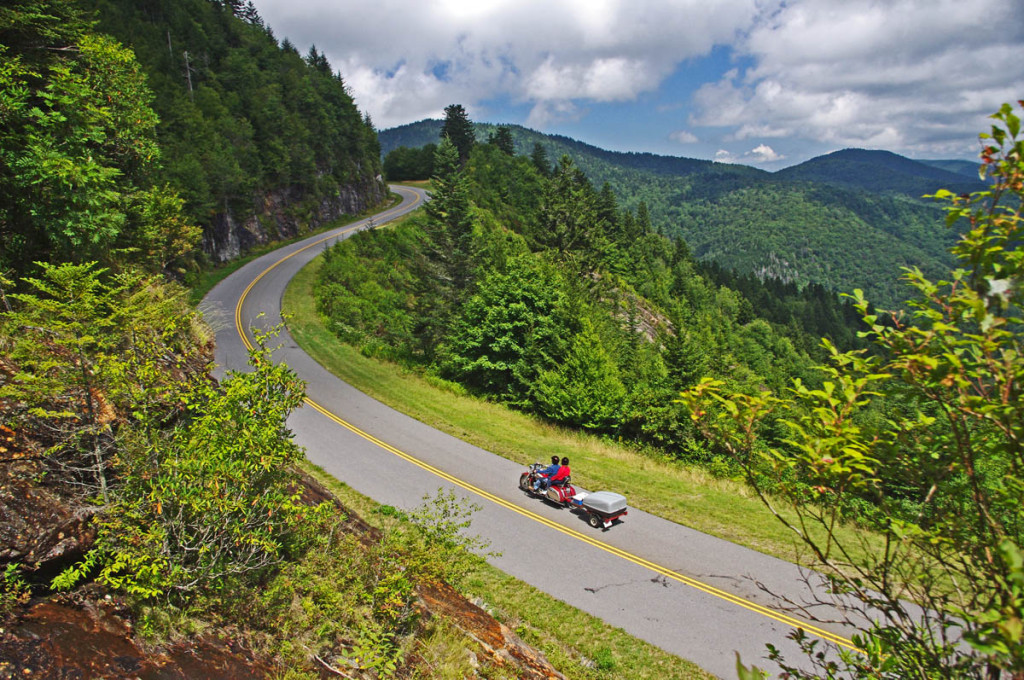
Blue Ridge Parkway-motorcycle-view

The southern end of the Blue Ridge Parkway is worth the wait. Take your time and enjoy!
blue-ridge-parkway-devils-courthouse

Blue Ridge Parkway – Devils Courthouse, one of many spectacular sights on the ride.

If you find yourself running short on gas towards the end of the ride, the next best option for fuel is Maggie Valley at US 19 / Soco Gap (MP 455.7). You also find food there, and the Wheels Through TIme Motorcycle Museum is worth the visit. Maggie Valley is the place I most recommend for staying near the end of the parkway as it is so well located for the wealth of great motorcycle rides in the surroundings, and there are lots of rooms available at good prices.

Arriving at the south end of the Blue Ridge Parkway near Cherokee, NC, you are at the southern entrance to Great Smoky Mountains National Park. Cherokee has a good number of rooms, but it’s also quite “touristy” so you’ll have some traffic to deal with. No alcohol on the reservation, and the best food is probably at Harrah’s Casino. While I’ve stayed there in the past, I suggest looking at all your options depending on which way your travels take you next.
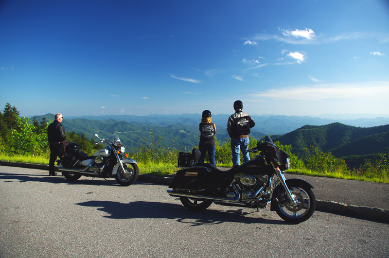
Enjoy a Blue Ridge Parkway view on a motorcycle trip

Blue Ridge Parkway view – While 2 days will get you there, if you have more time you’ll find plenty to enjoy on a more relaxed motorcycle tour of one of the top 10 rides in the country.

____________________________________________________________________
Wayne Busch - AMERICA RIDES MAPS

Wayne Busch – AMERICA RIDES MAPS

– Wayne Busch lives in Waynesville, NC, where he produces the most detailed and comprehensive and up-to-date motorcycle pocket maps of the Blue Ridge and Smoky Mountains to help you get the most of your vacation experience. See them here – AmericaRidesMaps.com

____________________________________________________________________

Favorite Blue Ridge Parkway Motorcycle Pit Stops – Chateau Morrisette, VA

Photo-Chateau Morisette on the Blue Ridge Parkway

Chateau Morrisette on the Blue Ridge Parkway

The romantic relationship we have with Chateau Morrisette winery on the Blue Ridge Parkway goes back to a motorcycle trip many years ago. Tired and hungry from a long day on the lower Virginia section of the Blue Ridge Parkway, we stumbled in looking for a bite to eat only to find the kitchen had just stopped serving for lunch. Our disappointment must have radiated as the chef emerged from the kitchen, took one look at us, and said, I’ll take care of them”.

photo-Restaurant-terrace-at Chateau-Morrisette

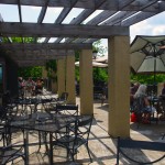
The Restaurant Terrace

We were seated on the beautiful mediterranean style porch with it’s panoramic views of the rolling Virginia countryside. A short time later sandwiches arrived at the table and we devoured one of the best meals we’d had in days. I remember a delicious portabello mushroom  on crustini bread draped in a melted cheese which we accompanied by a glass of Black Dog Red wine and knew we’d found a  heavenly oasis.  I’ve never missed a chance to stop at the Chateau Morrisette since nor ever been disappointed.

Photo-tasting-room-at-chateau-morrisette

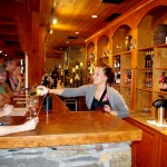
The tasting room

Over the years, the winery has grown in size and reputation. In times past it was one of the few landmarks you could easily identify from the Blue Ridge Parkway. Far out across one of those idyllic mountain farm fields, a long low series of signs spelled out the name of the winery in large letters. Gone now, the only way to find  it is to know where it is and watch for it. Success has meant one of the few advertisements along the Blue Ridge Parkway is no longer needed, and the parkway ethic is enhanced by it’s absence.

photo-terrace-at-chateau-morrisette

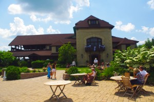
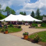
Live entertainment is common on weekends

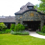
While the restaurant remains much as I remember it, the new building at the vinyard is now the hub of activity. The regal architecture hosts the tasting room, gift shop, and is the sales outlet for the wines. The terrace outside is the gathering and resting place where patrons sit and enjoy their glasses of local vintage to the accompaniment of snacks and often live entertainment.

Photo-Chateau-Morrisette-Restaurant

Chateau Morrisette Restaurant

On a weekend visit you’re happy to be on a motorcycle where you can slip into corners in the crowded parking lot. There are frequent events, a stage on the beautiful grounds for concerts and such, it seems there’s always something going on at this popular destination.

Chateau Morrisette winery

Chateau Morrisette is locate at milepost 168.8 on the Blue Ridge Parkway south of Tuggles Gap. Look for Black Ridge Road, then spur off quickly onto Winery Road. You’ll arrive in 0.6 miles.

photo-Chateau-Morrisette-Wine

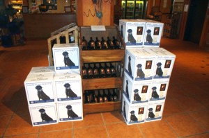
Chateau Morrisette's Black Dog Wines - Tasty

You’ll find Chateau Morrisette and all the surrounding great motorcycle rides in the area on America Rides Maps #3 of the Complete Blue Ridge Parkway seriesNorth Carolina / Virginia Border Rides.

_______________________________________________________________________________
Wayne Busch
Wayne Busch – Cartographer
– Wayne Busch lives in Waynesville, NC, where he produces the most detailed and comprehensive and up-to-date motorcycle pocket maps of the Blue Ridge and Smoky Mountains to help you get the most of your vacation experience. See them here – AmericaRidesMaps.com 


Motorcycle Touring the Blue Ridge Parkway in One Day – What was it Like?

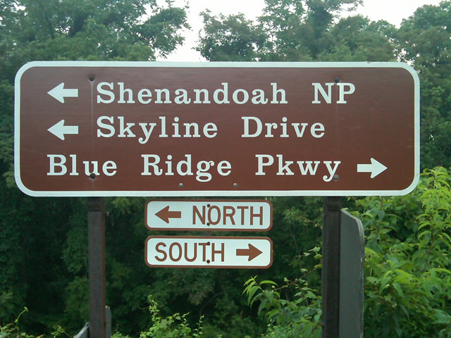
On Thursday I rode the Blue Ridge Parkway on my motorcycle from the start at Waynesboro, Virginia, 469 miles to the southern end at Great Smoky Mountains National Park in North Carolina. As I progressed I paused to snap photos and posted them on Facebook and Twitter. Here’s a recap of the experience;

Photo - sign at start of Blue Ridge Parkway

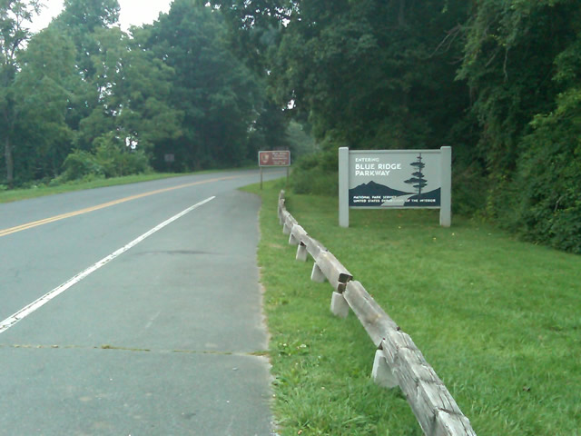
The Blue Ridge Parkway starts where the Skyline Drive ends near Waynesboro, Virginia.

I chose to start at the north end as I knew I’d need to leave at daybreak. The morning fog has been so heavy at the southern end I didn’t want to chance it slowing me down or making for pictures of nothing but white mist. I spent the previous night in Richmond and left before 5 AM to make the 1 1/2 hour ride to Waynesboro in the darkness.

Photo - sign at the start of the Blue Ridge Parkway in Virginia

I took these photos the previous day as I expected it would be too dark to take them on the actual trip. I was right.

I fueled up in Waynesboro, grabbed a cup of coffee and a pack of doughnuts to sustain me, and headed on my way. It would be the last time I stopped to eat or drink. 469 miles is a long way at the 45 mph speed limit. I had no time to waste. At least that was my attitude early on.

Photo - morning at the lake on Otter Creek

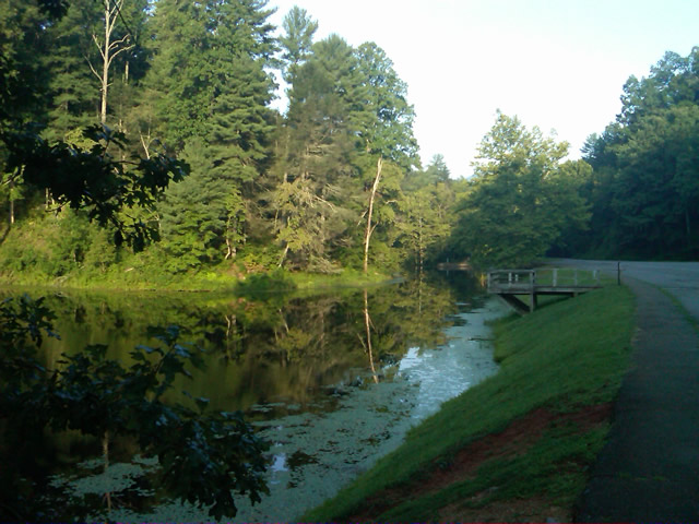
The sun comes up at the lake on Otter Creek. Easy ride so far.

I had the road to myself in the early morning twilight. Within a few minutes I’d seen both deer and turkey. The road starts a gradual climb to elevation here though nothing like the heights reached further south. With no other traffic on the road, my speed crept up a bit, something I’d fight the remainder of the trip. As you get comfortable and into the rhythm of the road, the temptation to take things at your more comfortable pace is always there taunting you. Knowing how far I had left to go didn’t help.

Photo - Above the clouds approaching Roanoke

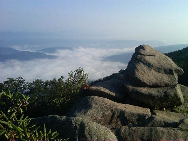
I paused at this overlook to top up on oil, lube what was left of the chain, and take a few moments to savor the views I was rushing by.

I was also facing the challenge of not knowing if my chain would last the trip. It was already shot before I left, adjusted to the end of the swingarm, far beyond the normal limit. It now sagged precariously and was making noises that had me wondering when it would snap. I’d never seen a chain smoke when lubed before, and I took advantage of opportunities to slather it with lubricant whenever my concerns peaked. I prayed it would not jump the sprockets when carving through a turn and catapult me into a rock face or over a precipice.

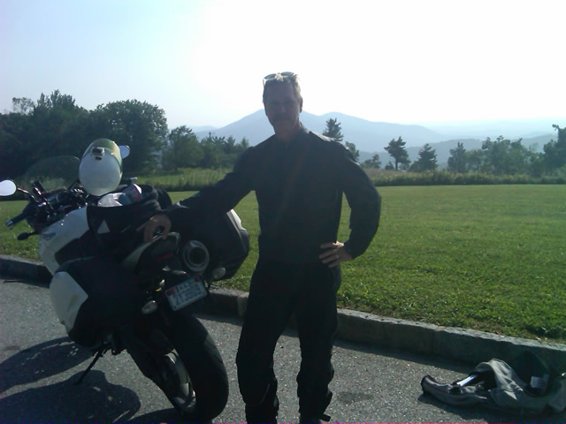
Photo - me and my bike along the Blue Ridge Parkway

A fellow biker snapped this photo of me at a rest stop. Riding from Florida to Maine and back, he and his wife were enjoying the parkway on their return.

Traffic remained surprisingly light through the morning with few holdups to pass slower vehicles. I watched the parkway wake up, the rangers and maintenance crews come to work and start their labors. Finding cell phone coverage to post my photos was always a challenge. You never know when it will be available, sometimes there in what looks like the most unlikely spots, other times absent where you think it should be a strong signal.

Photo - near Doughton Park

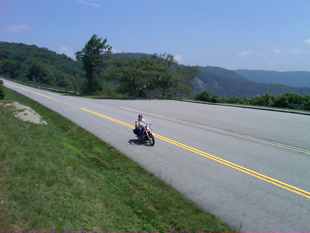
By mid morning there were plenty of other motorcycles on the road. This photo was taken somewhere near Doughton Park.

My first stop for gas necessitated a detour into Floyd, VA. Knowing where the nearest gas stations are is one reason I map the area so throughly. You can waste a lot of time looking for them if you don’t know which way to go. While in Floyd I popped in for a minute to see Derek at the Hotel Floyd, one of my favorite places to stay.

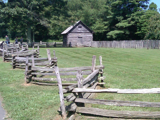
Photo - Historic cabin on the Blue Ridge Parkway

There are a few historic cabins along the road in southern Virginia.

As I crossed into North Carolina and entered the high mountains I knew cell phone coverage would be much more limited. The curves tightened up bit and the road was often wet from spotty showers. It would be another day with temps approaching near 100 in the valleys, but at elevation things remained tolerable so long as I was moving. I somehow avoided all but a slight peppering of rain which felt wonderful at the time.

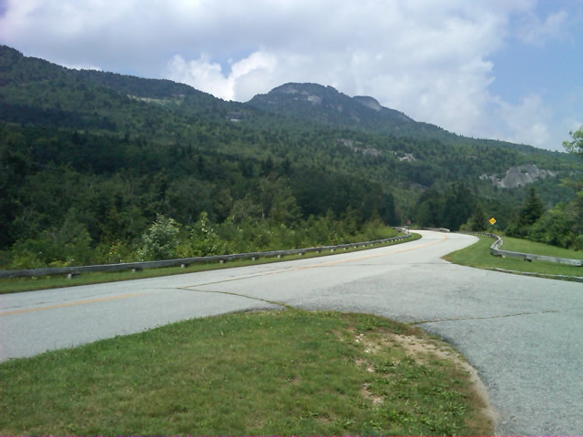
Photo - Grandfather Mountain

Passing Grandfather Mountain I felt I was back on home turf though still a long, long way to go.

Delays had been brief so far, and I planned my next fuel stop to coincide with a quick stop to say hello at the Switzerland Inn in Little Switzerland, one of my favorite places to eat or overnight. I fueled up in Spruce Pine. It was tempting to get a good meal, but I forced myself to press on. The real hold ups came as I approached Asheville. Tree crews and road construction caused significant delays and I hit the “commuter section” during evening rush hour.

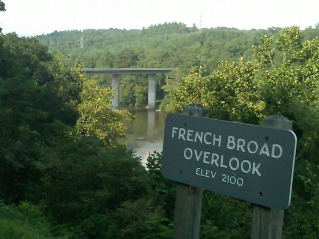
Photo - French Broad River Overlook

It was a great relief to finally cross the French Broad River southwest of Asheville and begin the climb to the highest and most scenic section of the Blue Ridge Parkway.

The sun was drawing near the horizon as I carved my way along the high ridge tops of the section of the Blue Ridge Parkway I consider my back yard. Thunderheads lurked and the road was wet in places, but my luck continued.

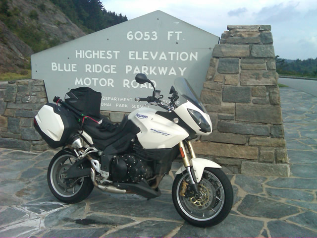
Photo - at the highest point on the Blue Ridge Parkway

Reaching the highest point on the Blue Ridge Parkway, I knew there was less than 40 miles to go to reach my goal.

I reached the southern end of the 469 mile ride with daylight to spare and took a pause at the Oconoluftee Visitor Center in Great Smoky Mountains National Park. I grabbed a few photos but found the battery was now dead on my cell phone. Here they are now –

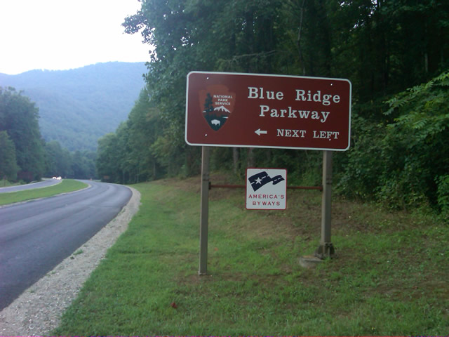
Photo - start of the Blue Ridge Parkway in North Carolina

The Southern end of the Blue Ridge Parkway near the Oconoluftee Visitor Center.

While my Blue Ridge Parkway in a day adventure was completed, I still needed to get home. Noting the evening traffic, I chose to avoid going into Cherokee and got back on the Blue Ridge Parkway now headed in the opposite direction. I rode through to Soco Gap, then passed through Maggie Valley to finally get to my home in Waynesville.

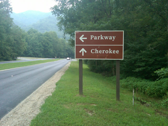
Photo - sign at the southern end of the Blue Ridge Parkway

Go through Cherokee or back the way I'd come? I chose to return home via the Blue Ridge Parkway of course.

My chain lasted the trip. My rear tire is bald. It’s time for some service on the engine. New parts are on order and it will take this week to get the bike roadworthy again. Next week? I might just poke into east Tennessee. I’ve too long ignored the area between Great Smoky Mountains National Park and Knoxville. If I can locate at least a dozen good rides there it will warrant a new motorcycle pocket map. I discovered some great roads along the Virginia / West Virginia border on this trip, several of which will be added to existing America Rides Maps. It will take a few more trips north to determine how the map of that region will lay out but it will come. For now, it’s catch up on the work I left, update the existing maps with the new rides I discovered, and make preparations for the roads ahead.

America Rides Maps on Facebook

America Rides Maps on Twitter

America Rides Maps – the best motorcycle pocket maps money can buy

_______________________________________________________________________________
Wayne Busch

Wayne Busch - Cartographer


– Wayne Busch lives in Waynesville, NC, where he produces the most detailed and comprehensive and up-to-date motorcycle pocket maps of the Blue Ridge and Smoky Mountains to help you get the most of your vacation experience. See them here – AmericaRidesMaps.com


Home from Motorcycle Adventures in Virginia

Photo - Me at the pub at the Switzerland Inn

A cool brew at the pub at the Switzerland Inn last night. It was not the last of them.

We’re back from our brief three day trip north on the Blue Ridge Parkway. It was a semi-working trip in that Jackie tagged along. That changes the focus and the daily plans dramatically from my usual road-warrior approach. Even so, we accomplished a lot and I have a ton of new information to pass along.

I’ll get to it little by little as I now must catch up on the things left unattended. We added almost 50 miles of new roads to one of the maps (and I still have a few new motorcycle rides to go back and check into). I got a firsthand look at the construction and cleanup work on the Blue Ridge Parkway through North Carolina and Virginia and there’s some great news to relate. We found a wonderful place to stay in Virginia, the Hotel Floyd. I picked up a lot of new info to add to the maps. We found ourselves at the Switzerland Inn more than once and loved every minute of it. I shot a load of video to go through.

We braved the heat, wore out a tire, fought with the electronics, lost a headlight, dealt with a minor crisis at home, and generally had a great adventure. It will be the last with Jackie for a while as she returns to start a new job. I returned home to find the new printer on a pallet in the back of my truck (thanks Mom). It’s larger than expected and I’m not sure I can lift it. Office redesign and build new furniture ASAP.

So many things to do I’m making a list to prioritize. #1, take a few hours down time.

_______________________________________________________________________________
Wayne Busch

Wayne Busch - Cartographer


– Wayne Busch lives in Waynesville, NC, where he produces the most detailed and comprehensive and up-to-date motorcycle pocket maps of the Blue Ridge and Smoky Mountains to help you get the most of your vacation experience. See them here – AmericaRidesMaps.com