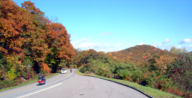
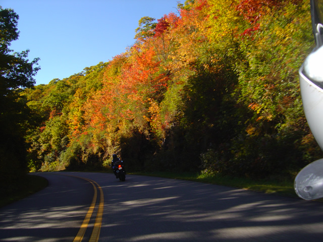
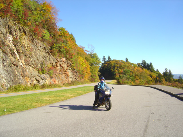
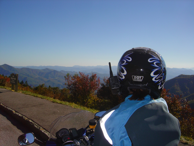
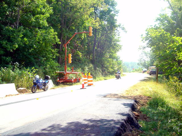
Motorcycles Flock to Blue Ridge Parkway with Warm Fall Weather

The weather in the Smoky Mountains lately has been stellar. While there may be a nip of frost in the mornings, by the afternoon the temps are in the high 60’s, the wind is still and dry, and the summer haze that gives the Smokies their name has taken a holiday. It’s been hard not to get out and ride your motorcycle.
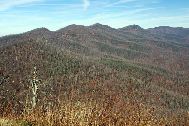
Photo - November view from the Blue Ridge Parkway

This is what the views from the Blue Ridge Parkway look like in mid-November. While almost all the leaves are down, it's still inspiring. Look close (click the picture for a larger view) and you can see the Parkway.

Jackie is in off the road for the weekend (like me, she travels with her work), and with the afternoon free we hopped on the bikes for a “La La” ride. In other words, no agenda, just cruising along, enjoying the  scenery, going wherever the whim takes you, “La la la”. You shouldn’t be surprised we ended up spending a little time on the Blue Ridge Parkway. It’s the epitome of “la la” rides.
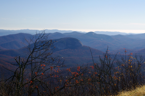
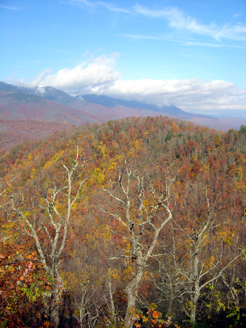
Photo - November view from the Blue Ridge Parkway

Cool and clear weather makes for great long range views. The feature in the center of the photo is Looking Glass Rock. The mountains on the horizon are in South Carolina and Georgia. Summer haze and green leaves hide so much which winter reveals.

I’m often surprised by the number of motorcycles on the Blue Ridge Parkway, but I didn’t expect to see so many today this late in the season. While I didn’t do an official count, I can confidently say motorcycles outnumbered cars while we were there.  We stopped at a couple overlooks and talked with a few people from Florida and South Carolina who had come north to enjoy the views.
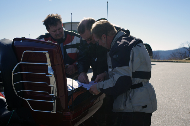
Photo - Looking at a map on the Blue Ridge Parkway

These guys from Florida really needed the help. The map they had was of such a large scale it didn't show many of the local roads. I hope the maps I gave them made the rest of their afternoon enjoyable.

I can’t help myself when I come across motorcyclists looking at a map, it’s the cartographers curse. We ended up spending almost half an hour at one overlook talking with other motorcyclists who pulled in, suggesting alternative rides, and handing out old versions of my maps. I usually carry an assortment in my bag to give away as promotional material and I parted with a bunch this afternoon.

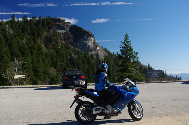
Photo - Devils Courthouse

Jackie pauses to admire the view of Devil's Courthouse on the Blue Ridge Parkway.

I shot a little video on the ride home to use later. It looks like our winter video ride project will be NC 215. It’s not only close to home so I can get a good collection of shots to choose from, but amongst locals it’s the most favorite ride and one you should know about.

Just because winter is coming it doesn’t mean an end to riding in the Smoky Mountains and it appears as many as possible are making the best of what warm weather remains.

_______________________________________________________________________________

Wayne Busch
Wayne Busch – Cartographer
– Wayne Busch lives in Waynesville, NC, where he produces the most detailed and comprehensive and up-to-date motorcycle pocket maps of the Blue Ridge and Smoky Mountains to help you get the most of your vacation experience. See them here – AmericaRidesMaps.com 
Sights From the Motorcycle Road – Penland Post Office

Yesterday’s explorations north of Asheville brought me back to many familiar roads, several good new ones, and far too many unpaved and unsuitable trails that had to be investigated regardless. With leaf season past its peak thanks to some windy storms, I followed the Blue Ridge Parkway north and paused along the way to see what remains. There’s still some good color down low, but it’s mostly yellows, browns, and gold that hold fast to the branches for another week or so.

Photo - view from the Blue Ridge Parkway

The Black Mountains viewed from the Blue Ridge Parkway between Crabtree Falls and Little Switzerland. Still some leaves giving a last show of color.

Northeast of Spruce Pine, NC, an excellent motorcycle ride can be enjoyed on Penland Road. It diagonals between the the too heavily trafficked US 226 and US19E and is a welcome relief from the four lane bustle. Near the midpoint sits the tiny hamlet of Penland and the ancient Penland Post Office.

Photo - Penland Post Office

The flag was the giveaway the Penland Post Office was still in business. I've passed by many times, today I stopped to visit.

I’d passed by it many times, noting it’s location, but never paying it much attention as it appeared to be abandoned. Yesterday, seeking a spot to stop and consult my map, I found it’s very much alive and functional despite its antique appearance.

Photo - Penland Post Office

A place preserved in time, I had wondered if the Penland Post Office was just another abandoned relic of the past. Hardly the case.

The female postmaster seemed to welcome the intrusion of me poking about, snapping a few photos, and inquiring about the location. She tells it’s slated for restoration thanks to the efforts of the nearby Penland School of Crafts.

Photo - Penland Post Office

I suspect many of these boxes are tended only by ghosts, though it's hardly an isolated area. Generations have lived back in these mountains and continue to do so.

Discovering sights like these is one of the best reasons to get off the Blue Ridge Parkway and explore the wealth of back roads that weave throughout the Smoky Mountains. Were I to photograph and visit all of them I’d get little mapping done. Trust me, there are plenty more awaiting your discovery and the roads and motorcycle rides that lead to them are what keep me going.

Photo - Penland Post Office

While I did see a computer in the back room, I suspect this typewriter and brass scale got just as much use.

The Blue Ridge Parkway projects an image of isolated mountain wilderness that doesn’t truly reflect just how many people have lived adjacent to it since times before there were cars and motorcycles. Think about it – something like popular Mabry Mill on the parkway could never have existed were there not a community that needed and supported it. Many of those communities persist and the roads which connect to and lie nearby the Blue Ridge Parkway are the gateways to discovering them. Discover America Rides Maps and find this wealth of hidden treasures.

_______________________________________________________________________________

Wayne Busch
Wayne Busch – Cartographer
– Wayne Busch lives in Waynesville, NC, where he produces the most detailed and comprehensive and up-to-date motorcycle pocket maps of the Blue Ridge and Smoky Mountains to help you get the most of your vacation experience. See them here – AmericaRidesMaps.com

Fall leaves – Photos from The Snake Motorcycle Ride

With such a beautiful day I was itching for an excuse to get out of the office, onto my motorcycle, and enjoy it when an email came in from David at the Shady Valley Country Store at The Snake Motorcycle Ride in Tennessee. He needed to be restocked on maps, and I was curious about a recommended road in the area – Denton Valley Road. Thats all it took.

Photo - Fall leaves on the Snake - US 421

The were some nice spots of fall color on US 421 a.k.a. "The Snake" yesterday. I was delivering a load of maps to the Shady Valley Country Store.

The big question was “How to get there?” Normally I’d take the Blue Ridge Parkway north to Linville, then jump on the back roads to skirt around the traffic in Boone. Knowing the Blue Ridge Parkway would be heavy with leaf peeping traffic, I considered going east to take the most common routes, but I also knew US 321 would be clogged with traffic and I’d get held up going through Boone. That left a western approach, so I went to Asheville, then up I-26 to US 19E from which I could jump on the back roads once I neared Elk Park. Looking back, I should have just followed the back roads all the way. I got held up in the construction on US 19E and could probably have made the trip in the same amount of time and had a lot more fun. Time was an issue as it was after noon before I left the house.

Photo - Fall leaves on The Snake - US 421

I snapped this photo just before I started down Denton Valley Road from US 421. The sun hit just right, the colors are real, not enhanced. I tried to tone them down, but decided to go with what the camera captured.

It was nearing 4 PM when I concluded my business at the Shady Valley Country Store and continued west on US 421 enjoying the twists and curves of The Snake to reach Denton Valley Road. It was a decent ride, though I hadn’t researched it well enough and ended up spending the next hour and a half exploring it and the roads which connect to it to determine the best and most natural routes. I rolled into Bristol, Virginia, around 6 to refuel and resigned to taking the Interstates back home as it was the most efficient course. It’s not the first time I’ve made that trip in the dark, and unprepared to be out so late I once again suffered the chills of going through the high pass on I-26 at Buckner Gap at night – it ‘s always cold there.

I pulled into the driveway at 8PM, shivering but happy after a decent 350 miles and a collection of new roads to add to America Rides Maps collection.

_______________________________________________________________________________

Wayne Busch
Wayne Busch – Cartographer
– Wayne Busch lives in Waynesville, NC, where he produces the most detailed and comprehensive and up-to-date motorcycle pocket maps of the Blue Ridge and Smoky Mountains to help you get the most of your vacation experience. See them here – AmericaRidesMaps.com
Photos – Blue Ridge Parkway Leaves and Motorcycles – 10/14/10

Photo - fall colors at Soco Gap

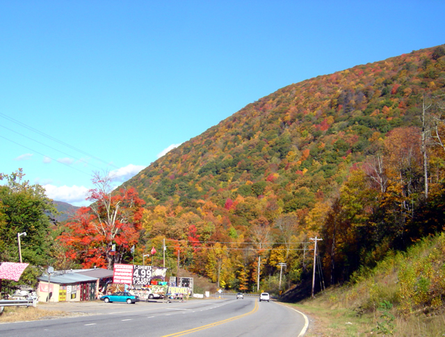
View heading down from the Blue Ridge Parkway at Soco Gap on US 19 towards Maggie Valley. The hills are really lighting up now.

The weatherman paid me back for that prior post by starting this “sunny day” with fog, clouds, and rain. I stand by what I said – never believe what’s forecasted. It’s OK, the day was shot anyway as I waited for a mid-day phone call that never came. I used the office time to get caught up.

Photo - leaves changing at Soco Gap on the Blue Ridge Parkway

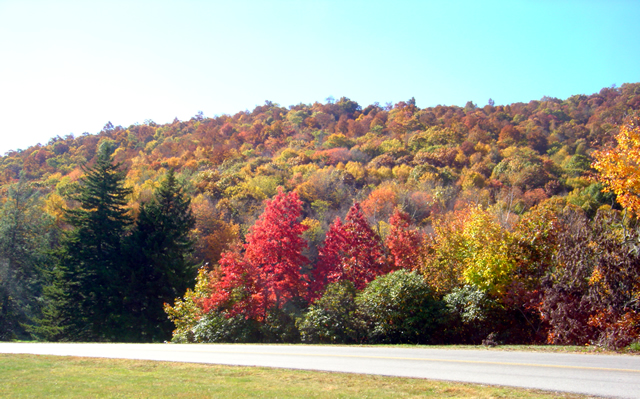
I snapped this photo at the exit ramp at Soco Gap on the Blue Ridge Parkway. I only spent a few minutes driving around admiring the leaves. Great colors are almost everywhere.

The rain gave way to bright sunshine and cool breezy weather after lunch. I finally grew weary of working on the updates to the Best Rides North and South of Asheville map and had to get out of the office. Joanne at the Mountaineer Restaurant on US 19 just down from the Soco Gap exit on the Blue Ridge Parkway needed a restock of maps, and I knew there was always great color at the Mountaineer Restaurant, so I grabbed the camera and headed over there this afternoon.

Photo from Thunderstruck Ridge on the Blue Ridge Parkway

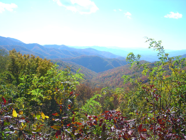
A view from the Thunderstruck Ridge overlook on the Blue Ridge Parkway. This is where the photos of me in the Road Bike Magazine article were taken.

The photos I took at the Mountaineer Restaurant didn’t come out. Ever since I submerged my bike and camera in a river while exploring for the Best Motorcycle Rides in the Mountains of North Georgia, the camera has been temperamental and unreliable. I’m shopping for a new one.

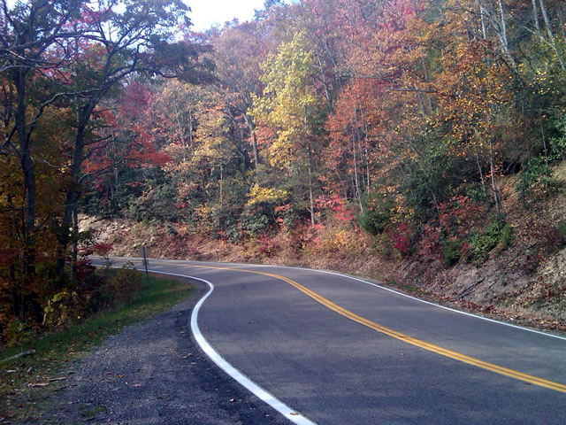
Photo - leaves changing on the Blue Ridge Parkway

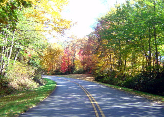
I brought the video camera along, but it was a little hazy for the long range shots I wanted. If the force is with me, tomorrow I'll get out with the bike mounted camera and get some of these great views to share. There are tunnels of color.

I don’t know what’s going on with the leaves in other places, I haven’t really been out for a few days. I hope to do some riding tomorrow to give you a more accurate report, at least of the local area. I suspect most of the leaves and color are gone from the highest elevations, above 5500 feet. We should get a cold snap tonight, maybe a little frost in the morning. That will really make the leaves pop – right on schedule.

View of leaves changing at the Plott-Balsam overlook on the Blue Ridge Parkway

There were a lot of motorcycles on the Blue Ridge Parkway. My quirky camera only gave me this one shot near the Plott-Balsam Mountains overlook. I'm almost desperate enough to go out a buy a new camera in the morning.

I only spent a few minutes out of my day to take these photos. We’ll see what tomorrow brings, I’d like to get out and ride. Virtual Blue Ridge , the best resource for Blue Ridge Parkway info, has a new leaf report posted here.

http://www.virtualblueridge.com/color-reports/ 

_______________________________________________________________________________

Wayne Busch
Wayne Busch – Cartographer
– Wayne Busch lives in Waynesville, NC, where he produces the most detailed and comprehensive and up-to-date motorcycle pocket maps of the Blue Ridge and Smoky Mountains to help you get the most of your vacation experience. See them here – AmericaRidesMaps.com


Smoky Mountain Fall Motorcycle Ride Leaf Report and Lots of Photos

It has started. The fall leaf change has begun in the Smoky Mountains.

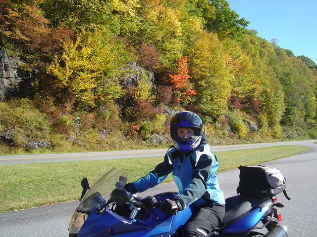
Photo - blue ridge Parkway fall leaf on motorcycle

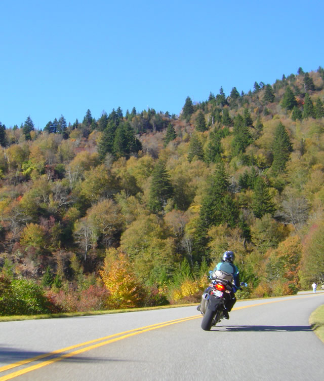
Following Jackie on an evening ride on the Blue Ridge Parkway south of Asheville

It’s confined to the highest elevations at this point. Nearly all these photos are above 5000 feet.

Photo - fall leaves on the Blue Ridge Parkway

It's not nearly the full show even at the high elevations. You hit pockets of color.

As it’s mostly confined to the highest areas, the Blue Ridge Parkway is one of the best spots to observe the emerging color. With the leaves also comes increased traffic.

Photo - fall color on the Blue Ridge Parkway

View from Waterrock Knob. There is still plenty of change and more color to come. It's just getting started.

You’ll find some nice color around Mt. Mitchell State Park along the parkway. It’s the highest mountain in the east. Craggy Gardens is mostly disappointing right now. It has no big trees and the leaves are gone from the low brush. Things will improve as the color spreads down the slopes it overlooks.

Photo - fall color at a Blue Ridge Parkway overlook

It's rare to find a deserted overlook on the Blue Ridge Parkway right now. This one wasn't empty long.

There’s some decent color just north of Asheville, but most of these photos are taken on the best section of the Blue Ridge Parkway – south of Asheville. It’s the highest and most scenic.

Photo - view from the Blue Ridge Parkway

The skies have been unusually clear lately. You can see several states from almost any overlook.

Things will probably peak up high next weekend or so. Not to worry, the show moves down the slopes once the high parts are done. There’s still a lot of green.

Photo from Blue Ridge Parkway

Right now the show will be up on the parkway. In a couple weeks, you'll find the color on the back roads which it overlooks and in the valleys below.

Living here you can see the change every day. It’s amazing how fast this all seems to happen.

Photo from the Blue Ridge Parkway

Still a lot of green at the lower elevations. The exposed ridges turn first.

We had a cold snap that set things off – 3 inches of snow on Mt. Leconte in Great Smoky Mountains National Park. Recently, it’s been unusually warm. Temperatures in the 70’s today, you couldn’t ask for better motorcycle riding weather.

Photo from the Blue Ridge Parkway

This scene will get better over the next week or so. You should be here.

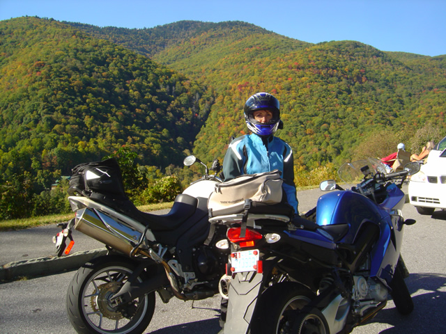
Motorcycles are everywhere. This warm weather won’t last. Be sure to pack some warm gear. Mornings will get frosty again soon.

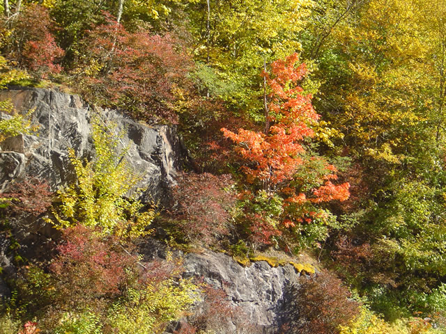
Photo - leaf changing on the blue ridge parkway

This rugged scenery is not confined to the Blue Ridge Parkway. The roads I've mapped in the surroundings are just as good if not better.

Enjoy the Blue Ridge Parkway now. When you tire of the crowds and congestion, get out on some of the great back roads which surround it. I’ve mapped more than 3000 miles of them and am still finding more.

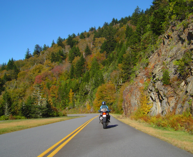
Photo - motorcycle cruising on the Blue Ridge Parkway

Remember, the Blue Ridge Parkway is just the beginning of the adventure. There is so much more to see.

UPDATE – here are a few more photos from today. We did a little hike out to one of our favorite panoramic spots on a 6000 foot bald this morning.

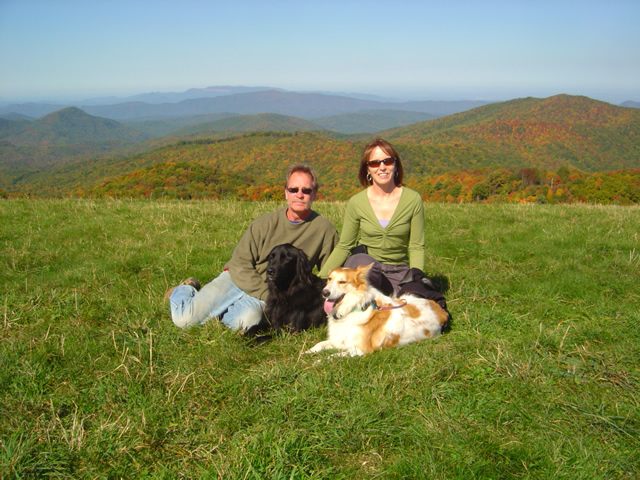
Photo from Max Patch

Wayne and Jackie, with Ajax and Sophie, at Max Patch. Awesome views from 6000 feet.

We know the colors come in first at the high points. Max Patch is just across the North Carolina border in Tennessee. On a clear day like today, it was a good time to go see the start of the leaf show.

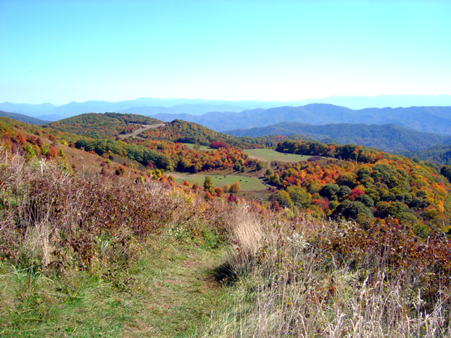
Photo from Max Patch

It's so wonderful to have such clear skies. You can see the pockets of leaf color that stretch to the horizons.

It’s a magic time in the Smoky Mountains and I’ll be out riding as much as I can over the next few weeks. I’ll do my best to slow down and snap a photo or two to share now and then, but somehow the colors just make the great motorcycle rides all that more fun. It’s hard to stop.

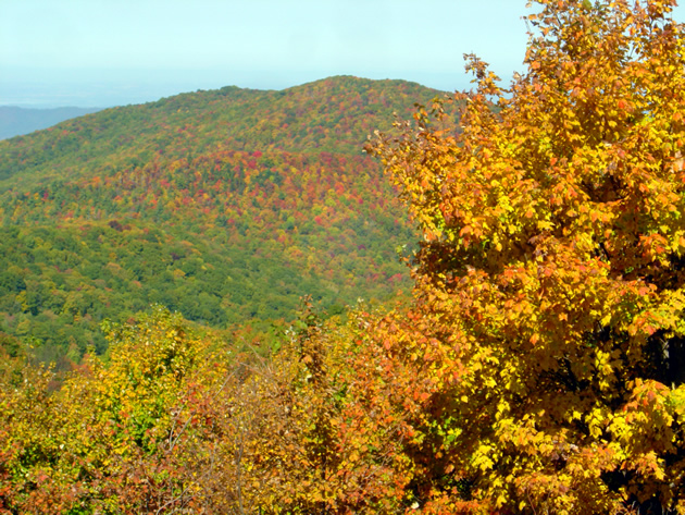
Photo from Max Patch

No enhancement or PhotoShop on any of these photos.This is just as they came out of the camera.

I hope you’ve made plans for a visit. If not, add this to your list for next year. You’ve got to plan ahead for lodging and such during leaf season. The rides are always there and are just as enjoyable in the spring and summer. If you’re hard core like me, it’s a year round passion. Hope you’ve enjoyed these pics, and with luck I’ll have more soon.

_______________________________________________________________________________


Wayne Busch
Wayne Busch – Cartographer


– Wayne Busch lives in Waynesville, NC, where he produces the most detailed and comprehensive and up-to-date motorcycle pocket maps of the Blue Ridge and Smoky Mountains to help you get the most of your vacation experience. See them here – AmericaRidesMaps.com

Great Motorcycle Rides North of Asheville Discovered

It’s not often I have such a successful day when out exploring for new motorcycle rides to add to my maps but Friday was one of the best. Most of the roads I evaluate don’t measure up against my strict standards – low traffic, engaging scenery, and a challenging and fun motorcycle ride. Nearly every road I explored turned out to be good enough to add to my map of “The Best Motorcycle Rides North and South of Asheville, NC”.

Photo - river north of asheville

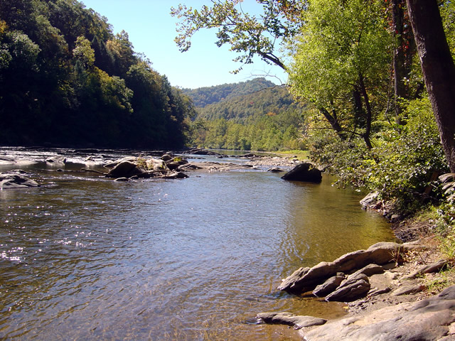
Most of todays rides were through the valleys near rivers. The twisty roads hug the banks.

The weather was ideal – atypically warm, sunny, and clear. The first hints of fall color were starting to emerge in places. Most of that is concentrated in the highest elevations right now, see the post to follow for some photos of the best color. The bulk of todays riding was searching out roads to link and connect to the already outstanding rides previously discovered.

Photo - river north of Asheville

I stopped here for a break along NC 197. It's a great ride as are the roads which connect to it.

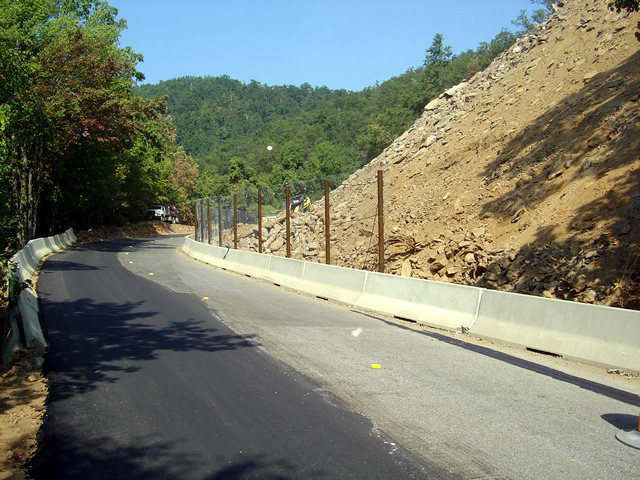
I had been avoiding the area around US 19W due to the construction to widen the road to 4 lanes. Part of the mission was to discover the side roads which skirt around it. That construction will be going on for quite some time. I found a bunch of them.

Photo - The lake at roaring Creek, TN

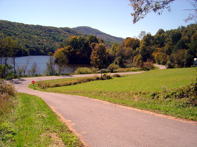
You can see a hint of fall color near this lake along Roaring Creek Road in Tennessee.

I also located a nice loop ride south of Johnson City, Tennessee, a good road to make loops near Roan Mountain, and quite surprising, still more great rides near Little Switzerland and the Diamondback. Much of the riding this trip was down low, through the valleys and along the rivers which are rides you can do pretty much all year round, places to go  after the Blue Ridge Parkway has closed for the winter season.

Photo - Stopped near Roan Mountain

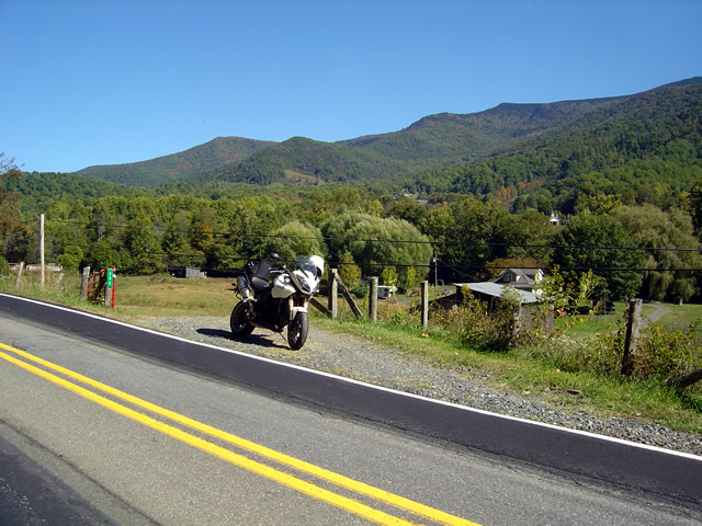
This road turned out to be a great way to make a loop ride when doing the popular ride over Roan Mountain. There is one very short but well maintained unpaved section.

I’ll be adding these new motorcycle rides to the map  The Best Motorcycle Rides North and South of Asheville, NC” this week. It’s almost done with the upgrade to the new and improved format slow but sure.

Photo - mountain view

The skies have been unusually clear lately and the long range views are outstanding.

I got some great photos of the start of the fall color in the higher elevations on the Blue Ridge Parkway. You’ll find some nice stuff starting near Boone and Banner Elk, in the area around Mt. Mitchell and the Black Mountains, not so much near Craggy Gardens, and then some north and south of Asheville. It’s still a little early, the peak will come next weekend, though it will continue through the lower elevations for a while. Next post will show you some color.

America Rides Mapshttp://americaridesmaps.com 

_______________________________________________________________________________

Wayne Busch

Wayne Busch - Cartographer


– Wayne Busch lives in Waynesville, NC, where he produces the most detailed and comprehensive and up-to-date motorcycle pocket maps of the Blue Ridge and Smoky Mountains to help you get the most of your vacation experience. See them here – AmericaRidesMaps.com


Plan Your Blue Ridge Motorcycle Vacation with VirtualBlueRidge.com

Virtual Blue Ridge.com has quickly become one of my favorite sites and I’ve got to recommend it as a top resource for planning a Blue Ridge Parkway motorcycle ride. Its comprehensive coverage and wealth of resources can answer the questions you have and point you in the right direction for more details and help you get more out of your motorcycle vacation. Now’s the time to be checking the fall Leaf Report.

I particularly like the videos from each of the 200 Blue Ridge Parkway overlooks. You can preview each stop to help select which of them you want to be sure to see. With so many to choose from, you can insure you don’t miss the best of them.

The blogs are authored by some of the top experts who share their wealth of experience and knowledge. I’m a fan of Anne Mitchell Wisenant (historian) and Dr. Houck Medford (Executive Director, Blue Ridge Parkway Foundation) and I like to keep tabs on Chateau Morrisette – There’s always something fun going on there.

Check it out when making your Smoky Mountain motorcycle tour plans – http://virtualblueridge.com 

_______________________________________________________________________________

Wayne Busch
Wayne Busch – Cartographer


– Wayne Busch lives in Waynesville, NC, where he produces the most detailed and comprehensive and up-to-date motorcycle pocket maps of the Blue Ridge and Smoky Mountains to help you get the most of your vacation experience. See them here – AmericaRidesMaps.com

 

Blue Ridge Parkway Rockslide Update for Motorcycles – photos

It has been the year for rock slides. There were 6 major ones in southern region of the Smoky Mountains. Interstate 40 near the North Carolina – Tennessee state line is still being worked on with one lane closed. Be aware traffic backs up there on Fridays and weekends, 30 minute delays are advertised. If you’re planning on staying on the north side of Great Smoky Mountains National Park (link to map – .pdf) factor the delays into your travel time, or better yet, stay on the south side of the park.

Photo from Blue Ridge Parkway this morning

I was out on the BMW this foggy morning. Traffic is increasing on the Blue Ridge Parkway, especially motorcycles.

The fence and gates are still visible at the Dragon near Deals Gap even though the rock slide there has long been resolved. It’s a reminder of when the road was first closed, then open only from 8 Am to 8 PM. It’s been open since August and you can plainly see where the rock slide happened along the lake. I still stop at the pull off to take photos occasionally.

Photo - rock slide site on the Blue Ridge Parkway

Little change is evident from the road. Most of the work is going on above, terracing and stabilizing the slope.

The rock slide on the Blue Ridge Parkway near Mt. Pisgah is yet to be resolved completely. It was supposed to be done by the start of September. The road is open for travel, but only one lane. Timed temporary traffic lights are positioned on each side of the work area to regulate traffic, and the duration of the delays seems to have been decreased. It used to 5 minutes, but now it feels like less. Maybe I’m used to it.

Photo - traffic lights on the Blue Ridge Parkway

Temporary timed traffic lights manage the traffic through the work area. It seems like they've decreased the wait times.

Looking at the photos I took today and comparing them to the last set, there is little visible difference at the rock slide site. As I’m up there often, I can see subtle signs of progress. While it looks pretty devastated along the road, it’s comparatively minor in contrast to the amount of work that has been done to terrace and stabilize the slope above. They were still drilling rock today so there’s work yet to be finished.

Photo - motorcycles pass the rock slide on the Blue Ridge Parkway

The delays are short, there's nothing challenging, motorcycles of which there are plenty have nothing to worry about.

Also be aware there is another delay for tunnel work as you reach Mt. Pisgah. Another set of temporary traffic lights controls traffic there as well. The scaffolding came down weeks ago, the road bed has been freshly paved, and when I passed today they were raking the edges of the road. It appears this delay is nearly over.

So long as I’m relating Blue Ridge Parkway road conditions, there is still paving going on north of Asheville. I thought they were done here when I passed through a couple weeks ago and raved about how nice the pavement was. When I went through a couple days ago they were putting another layer of fresh asphalt on top of the already wonderful road that was there. It’s SO nice! I hit two delays, one near Craggy Gardens and another further south, but they were not long waits. This second coat is going down fast so it won’t be long before they move out of there.

I’ll sum all this up in the somewhat monthly newsletter I put out (subscribe bottom right of page). There are a few paving projects I need to ride out and check on. If you have any info to add, please send it to me.

_______________________________________________________________________________

Wayne Busch

Wayne Busch - Cartographer


– Wayne Busch lives in Waynesville, NC, where he produces the most detailed and comprehensive and up-to-date motorcycle pocket maps of the Blue Ridge and Smoky Mountains to help you get the most of your vacation experience. See them here – AmericaRidesMaps.com
 

Video – The Diamondback Motorcycle Ride Near the Blue Ridge Parkway

http://www.youtube.com/watch?v=wmUlsQzX-fw

Ride along with Jackie (from America Rides Maps)  as she careens down the Diamondback Motorcycle Route. Accessed from the Blue Ridge Parkway, this is one of those side roads you should add to your motorcycle vacation plan. The Diamondback is one of the big three motorcycle rides in North Carolina, joining the Snake and the Dragon in the pantheon of classic and challenging rides. Included are scenes from the Switzerland Inn, one of the top motorcycle friendly destinations on the Blue Ridge Parkway.

You can find videos of other great Smoky Mountain motorcycle rides, video tips, and more at America Rides Maps YouTube channel – http://www.youtube.com/user/americaridesmaps

_______________________________________________________________________________

Wayne Busch

Wayne Busch - Cartographer


– Wayne Busch lives in Waynesville, NC, where he produces the most detailed and comprehensive and up-to-date motorcycle pocket maps of the Blue Ridge and Smoky Mountains to help you get the most of your vacation experience. See them here – AmericaRidesMaps.com


Motorcyclists – Help Support the Blue Ridge Parkway with Bling

Image from Blue Ridge Parkway Foundation - http://brpfoundation.org

End-to-Ender decal - get yours online when you've made your ride. I'll be shipping them as a bonus with BRP orders as long as they last

I enjoyed lunch yesterday with Houck Medford from the Blue Ridge Parkway Foundation. He’s a great guy with ties to Waynesville – where I live. We talked about the Blue Ridge Parkway of course, as well as local hiking and motorcycle related subjects. Houck had seen my post about my “Blue Ridge Parkway in a Day” motorcycle ride, and sent me my End-to-End Rider packet. It contained a nice certificate, a pin, a decal for my bike, info and stories. I was impressed and glad to have it.

If you’ve made an end-to-end ride of the Blue Ridge Parkway you too can get your package by filling out the form here – http://brpfoundation.org/end-to-end/ . Leave your story, read of others travels, the Blue Ridge Parkway Foundation web site has a lot of good info.

Ok, so the pin is not what you’d call “hefty bling”, though North Carolina motorcycle riders and Blue Ridge Parkway enthusiasts can get a Blue Ridge Parkway Foundation license plate for your ride and/or car and help support the good work of the foundation.  It’s so easy, you do it online right from this link –http://brpfoundation.org/tag-program/

Houck wants you to help support the Parkway, share your stories and enthusiasm, and has given me a supply of end-to-end Blue Ridge Parkway rider decals which I’ll be shipping with every Blue Ridge Parkway Series map order as a bonus for as long as they last.

Image from Blue Ridge Parkway Foundation - http://brpfoundation.org

Blue Ridge Parkway License Plates available for your car or bike and easy to order online.

Hmm, Jackie’s bike is due, this might just make a very nice gift!

Show you appreciation at http://brpfoundation.org/

PS – don’t leave home without your America Rides Maps – ride the Blue Ridge Parkway and much, much more. Free decals with orders.

_______________________________________________________________________________

Wayne Busch

Wayne Busch - Cartographer


– Wayne Busch lives in Waynesville, NC, where he produces the most detailed and comprehensive and up-to-date motorcycle pocket maps of the Blue Ridge and Smoky Mountains to help you get the most of your vacation experience. See them here – AmericaRidesMaps.com