Popular Blue Ridge Parkway feature destroyed

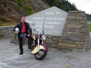
photo-sign-at-the-highest-point-on-the-Blue-Ridge-Parkway

The sign at the highest point on the Blue Ridge Parkway

What a surprise as our motorcycles rounded the bend on my favorite section of the Blue Ridge Parkway July 4 to find a familiar and highly visited overlook feature missing. We had to stop for a closer look.

It’s one of those classic photo opportunities on your Blue Ridge Parkway motorcycle ride – the highest point of the 469 mile roadway is prominently marked with a large sign at the popular overlook. You can pull your bikes right in front of it and get that great picture to commemorate your visit – until now. That sign is missing.

Photo-sign-destroyed-on-Blue-Ridge-Parkway

It used to be a classic photo spot - pull your bikes in front of the sign and get the picture for your scrapbook

My first though was it had been struck by a car. It would have had to be a big car though, at least an SUV, maybe even a small truck, but the evidence did not show signs of a collision.
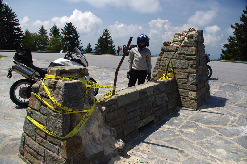
Photo-sign-destoryed-on-Blue-Rdige-Parkway

Surveying the damage we speculate the sign was pushed over. Look at the bent steel supports, and the damage to the rock pillars up high.

The damage was too high, and it appeared more as if it had occurred from the top down. The twisted steel and fractured rock indicated the sign had probably been forced down by high wind, though it must have been one heck of a blow. Perhaps it was a tornado or one of those micro-burst events. At over 6000 feet elevation you can experience some pretty severe weather.

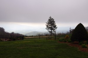
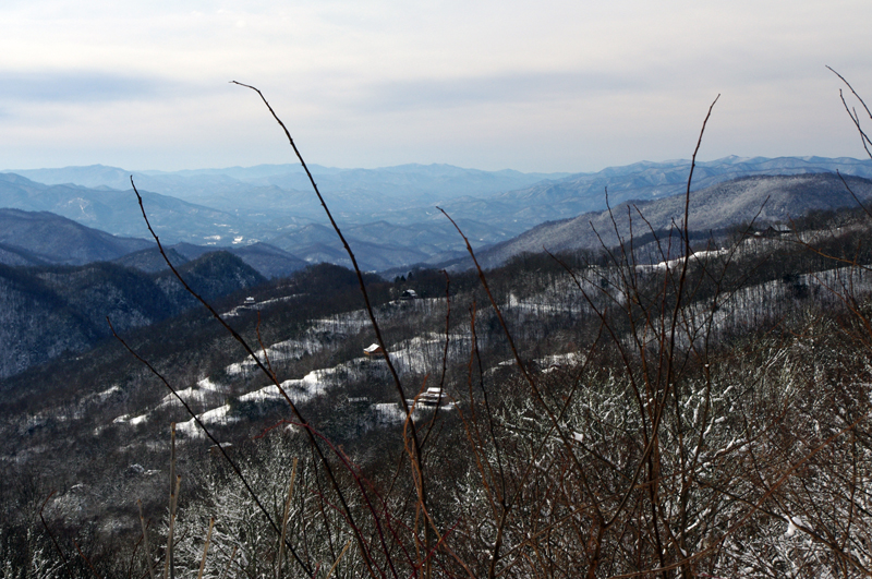
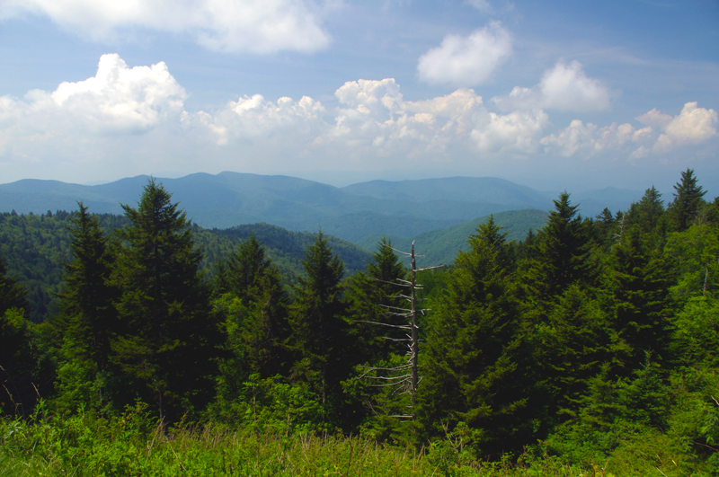
Photo-view-from-highest-point-on-the-Blue-Ridge-Parkway

The view from the highest point on the Blue Ridge Parkway.

Still, this sign has stood through harsh conditions for many years. I’m glad I wasn’t up high when this damage occurred. We’ve had extraordinarily unusual weather in the Smoky Mountains this year. Until now, I would have told you tornados don’t happen in the mountains. Great Smoky Mountains National Park has experienced a couple, you can still see the twisted steel tower in the middle of the lake at Deals Gap left when that cyclone blew through, and  I no longer know what to expect. Times are changing and the southeast has been pummeled with twisters this year.

If it’s the end-of-times, I’m going out riding my motorcycle. Watch me flash by in the twister like the wicked witch in the Wizard of Oz. See you on the yellow brick road.

You’ll find this outstanding motorcycle riding area featured on America Rides Maps “The Best Motorcycle Rides South of Great Smoky Mountains National Park

_______________________________________________________________________________

Wayne Busch
Wayne Busch – Cartographer
– Wayne Busch lives in Waynesville, NC, where he produces the most detailed and comprehensive and up-to-date motorcycle pocket maps of the Blue Ridge and Smoky Mountains to help you get the most of your vacation experience. See them here – AmericaRidesMaps.com 
Motorcycle friendly Blue Ridge Parkway lodging – Fiddlers Roost

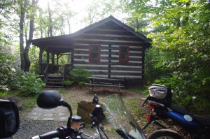
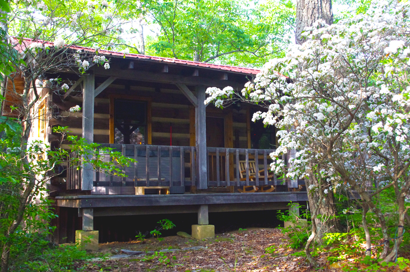
Photo-fiddlers-roost-cabin

Our cabin at Fiddlers Roost

Fiddler’s Roost Cabins are just off the Blue Ridge Parkway near milepost 214 and offer the motorcycle rider a nice place to stay. Just down the road from the Blue Ridge Music Center, the cabins are small but cozy, well fitted, and comfortable.

Our stay was brief, and it was hot, so we did not partake of the hot tub on the porch. We just needed a comfortable place to pass the night, and thats what we got.

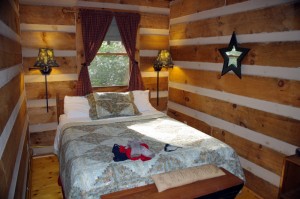
Photo-Fiddlers-Roost-Cabins-bedroom

Bedroom - cozy and comfortable

We also missed out on the breakfast delivered to our door the next morning. While it’s reported to be outstanding, it doesn’t arrive until 9:30 – 10 AM and we had too many miles to go to postpone our journeys for the day.

The cabins are fairly isolated so you have privacy. Access is via a gravel road with a bit of incline which had me wondering about how well it would be negotiated by a fully loaded bike with two riders. The road was in decent shape and we had no issues.

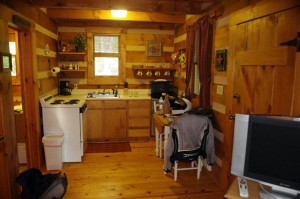
The isolation comes at a price – there’s no food nearby, it’s a 10 minute ride into Galax to get a bite to eat. If you’re packing your own vittles, there is a refrigerator and stove in the cabins.

Photo-Fiddlers-Roost-cabins-kitchen

The Kitchen

We made the ride, grabbed dinner at a Chinese restaurant, then returned to the cabin to enjoy a bottle of Chateau Morrisette wine and some cheese we’d picked up on our way to the cabin on the Blue Ridge Parkway.

Overall, it’s a nice place to stay, maybe a little too slow paced for road warriors like us who are up early, ride long and hard, and come in late.

Fiddler’s Roost Cabins

Photo-Fiddlers-Roost-cabins-view

Nice little cabins in a nice setting

_______________________________________________________________________________

Wayne Busch
Wayne Busch – Cartographer
– Wayne Busch lives in Waynesville, NC, where he produces the most detailed and comprehensive and up-to-date motorcycle pocket maps of the Blue Ridge and Smoky Mountains to help you get the most of your vacation experience. See them here – AmericaRidesMaps.com 
 

What is a Blue Ridge Parkway Milepost?

AWMXDX9J8QT9

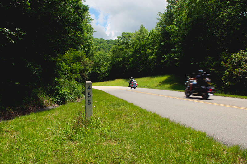
photo-blue-ridge-parkway-milepost

Blue Ridge Parkway milepost 455 not far from Waynesville, NC

When planning your Blue Ridge Parkway motorcycle ride you’ll find references to mileposts handy. Every mile along the Blue Ridge Parkway, you’ll find a concrete post with the mileage of the 469.1 mile long motorcycle ride displayed. Miles run from north to south, the further south you go, the higher they get. The milepost shown here, #455, is near the southern end not far from Waynesville.

Mileposts make navigation much easier and better allow you to track your progress on your Blue Ridge Parkway motorcycle vacation tour.

_______________________________________________________________________________

Wayne Busch
Wayne Busch – Cartographer
– Wayne Busch lives in Waynesville, NC, where he produces the most detailed and comprehensive and up-to-date motorcycle pocket maps of the Blue Ridge and Smoky Mountains to help you get the most of your vacation experience. See them here – AmericaRidesMaps.com 

2SearchBlogs Web

Favorite Blue Ridge Parkway Motorcycle Pit Stops – Chateau Morrisette, VA

Photo-Chateau Morisette on the Blue Ridge Parkway

Chateau Morrisette on the Blue Ridge Parkway

The romantic relationship we have with Chateau Morrisette winery on the Blue Ridge Parkway goes back to a motorcycle trip many years ago. Tired and hungry from a long day on the lower Virginia section of the Blue Ridge Parkway, we stumbled in looking for a bite to eat only to find the kitchen had just stopped serving for lunch. Our disappointment must have radiated as the chef emerged from the kitchen, took one look at us, and said, I’ll take care of them”.

photo-Restaurant-terrace-at Chateau-Morrisette

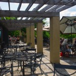
The Restaurant Terrace

We were seated on the beautiful mediterranean style porch with it’s panoramic views of the rolling Virginia countryside. A short time later sandwiches arrived at the table and we devoured one of the best meals we’d had in days. I remember a delicious portabello mushroom  on crustini bread draped in a melted cheese which we accompanied by a glass of Black Dog Red wine and knew we’d found a  heavenly oasis.  I’ve never missed a chance to stop at the Chateau Morrisette since nor ever been disappointed.

Photo-tasting-room-at-chateau-morrisette

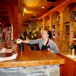
The tasting room

Over the years, the winery has grown in size and reputation. In times past it was one of the few landmarks you could easily identify from the Blue Ridge Parkway. Far out across one of those idyllic mountain farm fields, a long low series of signs spelled out the name of the winery in large letters. Gone now, the only way to find  it is to know where it is and watch for it. Success has meant one of the few advertisements along the Blue Ridge Parkway is no longer needed, and the parkway ethic is enhanced by it’s absence.

photo-terrace-at-chateau-morrisette

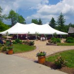
Live entertainment is common on weekends

While the restaurant remains much as I remember it, the new building at the vinyard is now the hub of activity. The regal architecture hosts the tasting room, gift shop, and is the sales outlet for the wines. The terrace outside is the gathering and resting place where patrons sit and enjoy their glasses of local vintage to the accompaniment of snacks and often live entertainment.

Photo-Chateau-Morrisette-Restaurant

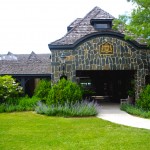
Chateau Morrisette Restaurant

On a weekend visit you’re happy to be on a motorcycle where you can slip into corners in the crowded parking lot. There are frequent events, a stage on the beautiful grounds for concerts and such, it seems there’s always something going on at this popular destination.

Chateau Morrisette winery

Chateau Morrisette is locate at milepost 168.8 on the Blue Ridge Parkway south of Tuggles Gap. Look for Black Ridge Road, then spur off quickly onto Winery Road. You’ll arrive in 0.6 miles.

photo-Chateau-Morrisette-Wine

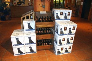
Chateau Morrisette's Black Dog Wines - Tasty

You’ll find Chateau Morrisette and all the surrounding great motorcycle rides in the area on America Rides Maps #3 of the Complete Blue Ridge Parkway seriesNorth Carolina / Virginia Border Rides.

_______________________________________________________________________________

Wayne Busch
Wayne Busch – Cartographer
– Wayne Busch lives in Waynesville, NC, where he produces the most detailed and comprehensive and up-to-date motorcycle pocket maps of the Blue Ridge and Smoky Mountains to help you get the most of your vacation experience. See them here – AmericaRidesMaps.com 


Motorcycle the Blue Ridge Parkway – Peaks of Otter Lodge

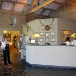
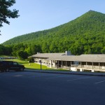
Photo-Peaks-of-Otter-restaurant

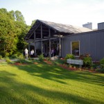
The Lodge and Restaurant at Peaks of Otter

The Peaks of Otter Lodge and Restaurant located at milepost 86 on the Blue Ridge Parkway offers the motorcycle traveler a serene and beautiful setting in the Virginia mountains –

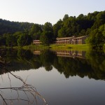
Photo-Peaks-of-Otter-across-lake

The setting is serene and relaxing

Jackie and I paid our first Blue Ridge Parkway motorcycle touring visit to the Peaks of Otter Lodge this past weekend and give it a good, though not outstanding recommendation. In some ways it outshines the other Blue Ridge Parkway lodges we’re familiar with, in others it falls just a little short.

Photo-view-from-room-at-Peaks-of-Otter-Lodge

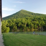
View from our room

Like the other Blue Ridge Parkway lodges, it immerses you in a remote and isolated setting. The nearest town is Bedford, less than 10 miles distant. The city of Roanoke is 25 miles further south on the Blue Ridge Parkway. The climb to reach the Peaks of Otter on the Blue Ridge Parkway is one of the most beautiful stretches of heavy woodlands in the Jefferson National Forest with glimpses of the surrounding mountains, the piedmont to the east, and the Shenandoah Valley to the west from the occasional overlooks.

Photo-Peaks-of-Otter-lobby

The Lodge lobby is nice

There is a Blue Ridge Parkway Visitor Center nearby, a campground, hiking trails, historic sights, and a picnic area. Set on a  small lake in the bowl between two of the three peaks that give the area it’s name, the views on every horizon are stunning and often mirrored in the still waters of the alpine pond. A gentle trail offers a 20 minute walk around the lake to admire the hollow from all perspectives.

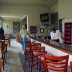
Photo-Peaks-of-Otter-bar

Extra points for having a nice bar

The Lodge does stand above the other parkway inns in it’s rich and welcoming appearance. The gift shop is attractive, and the bar is such a welcome touch after a hot days ride. The restaurant overlooks the lake with captivating, at times enchanting views of the natural panorama. Unfortunately the restaurant is where the Peaks of Otter Lodge fell short for us.

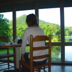
Photo-Peaks-of-Otter-Dining-view

Captivating views from the dining room

The food does not hold a candle to the that served at the Pisgah Inn, the Blue ridge Parkway Lodge south of Asheville, NC. Service was great, pleasant and attentive wait staff insured we got what we needed. The setting is outstanding with the views but the musak was some sad mix of nursing home dirge and “One Flew Over the Kukoo’s Nest” which distracted from the atmosphere. A place this nice deserves a chef, not a cook and a new set of CD’s for the player – please throw the Victrola in the deep part of the lake.

Photo-Peaks-of-Otter-lodging

Rooms are clean and comfortable

The facilities are well maintained and spotlessly clean. The grounds were  manicured with precision and care. The rooms were comfortable as were the beds, and quiet. It makes for a peaceful and relaxing stay.

Overall, a stay at the Peaks of Otter Lodge on the Blue Ridge Parkway is welcoming and relaxing on your motorcycle vacation. Taking the dining experience to the next level would make it outstanding.

ADD – I have one big request from the Park Service: It’s the 21st century, how about a little catch up? I don’t mind not having TV, it makes the rooms quiet and draws you out of them to embrace the natural experience and beauty. Cell service comes and goes with the breeze, and the wind rarely blows – you’ll be chucking quarters into the pay phone to reach the rest of civilization. Isn’t it time to embrace our new reality and offer a wireless network?

Other Reviews from Trip Advisor

_______________________________________________________________________________

Wayne Busch
Wayne Busch – Cartographer
– Wayne Busch lives in Waynesville, NC, where he produces the most detailed and comprehensive and up-to-date motorcycle pocket maps of the Blue Ridge and Smoky Mountains to help you get the most of your vacation experience. See them here – AmericaRidesMaps.com 


Riders Roost Restaurant – Motorcycles stop here on the Blue Ridge Parkway

Image - Riders Roost Restaurant sign

Riders Roost Restaurant - watch for this sign

Joanne finally got the new Riders Roost Restaurant signs up after a car took out the old ones on the icy winter roads leading down from the Blue Ridge Parkway at Soco Gap (US 19) near Maggie Valley (LINK TO MAP). Just a little more than a mile downhill from the Blue Ridge Parkway exit heading east, the Riders Roost Restaurant offers the motorcycle traveler and good meal in a beautiful setting convenient to your travels.

I’d hoped to catch Joanne in the kitchen, but with such outstanding weather over the weekend, she was out on her Harley enjoying it like the rest of us. Can you blame her?

Photo-Riders-Roost-Restaurant

Riders Roost Restaurant - Great food, Great view, Great location

I highly recommend you grab a nice bite to eat and maybe a cold brew on the back porch with it’s commanding view of the mountains. It’s one of my favorite places when the fall colors come, they’re spectacular from the porch.

In addition to the Riders Roost Restaurant, Joanne has her Fireside Cottages available just downhill. Such a nice package – a great place to stay with good food  just minutes from the best section of the Blue Ridge Parkway surrounded by more outstanding motorcycle riding. What could be better?

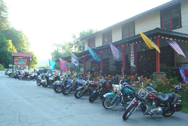
Photo - motorcycles at the Riders Roost Restaurant

Biker friendly Riders Roost Restaurant is obviously the place to be!

Riders Roost Restaurant

Fireside Cottages

_______________________________________________________________________________

Wayne Busch
Wayne Busch – Cartographer
– Wayne Busch lives in Waynesville, NC, where he produces the most detailed and comprehensive and up-to-date motorcycle pocket maps of the Blue Ridge and Smoky Mountains to help you get the most of your vacation experience. See them here – AmericaRidesMaps.com 
100 miles out on the Blue Ridge Parkway, my motorcycle was stuck in top gear

I’d dropped the bike. Pulling out from a back road along the Blue Ridge Parkway, a car suddenly appeared out of the dense clouds rounding a curve and I stalled the engine on the incline.  It went down hard on it’s left side breaking a turn signal lens and mangling the clutch and shift levers. Minor damage considering I’d avoided the car, but it would prove enough to make the trip home a challenge.

Photo - View From Switzerland Inn

The nicest weather came just before my meeting at the Switzerland Inn - http://SwitzerlandInn.com

Already modified from a prior incident (click to read about that debacle) the shift lever was now wedged beneath the side stand. The clutch lever flopped precariously but it was working, and with a decent foot effort I managed to pry the shifter upwards and snick through the gears to get moving again towards Asheville. It was when I tried to downshift for a curve the real problem became apparent. I could not shift into a lower gear.

Thankfully I was on the Blue Ridge Parkway, uninterrupted in its 469 mile length. No stops, no traffic lights, it would be a manageable inconvenience to be restricted to a single gear. The problems would come when I left the parkway and entered the city traffic. At least I’d have plenty of time to come up with a plan on how I’d get home without slowing or stopping.

Photo - bad weather on the Parkway

It's days like this a waterproof camera comes in handy on the Blue Ridge Parkway

Trying to bend the shift lever into a more useful shape was a last resort. Previously bent once, it would likely break if I stressed it any more. I decided I’d need to find a way home where I would not need to stop even once.

Traffic was light. The weather was already miserable at these high elevations and would continue to deteriorate as a strong front moved in. The wind gusted powerfully, rain squalls spit at me, and I was enveloped by thick clouds as I passed by the signs for Mt. Mitchell, then Craggy Gardens. The low fuel light came on as I drew near to Asheville but I knew there was no way I could negotiate traffic, stopping was not an option. I decided I must go on.

In 20 miles or so I’d reach the US 276 exit south of Waynesville. If I could get off the parkway without stalling, then make it down through the switchbacks on the steep incline, there would be but one traffic light to gamble on to reach home.

Cresting the rise that led into Bethel, I saw the light blink from red to green and rolled on the throttle to cleanly pass through it. 10 minutes later I pulled into my driveway. Just another day on the road.

A little video from the day –

http://www.youtube.com/watch?v=j57PPHa_vVI

_______________________________________________________________________________

Wayne Busch
Wayne Busch – Cartographer
– Wayne Busch lives in Waynesville, NC, where he produces the most detailed and comprehensive and up-to-date motorcycle pocket maps of the Blue Ridge and Smoky Mountains to help you get the most of your vacation experience. See them here – AmericaRidesMaps.com 
 

Blue Ridge Parkway Opens Soon, Smoky Mountain Motorcycles Everywhere!

Motorcycle the Blue Ridge Parkway

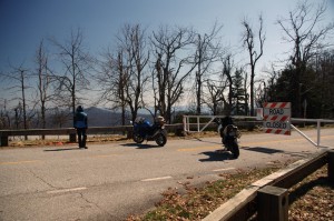
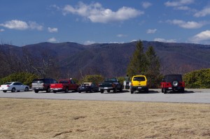
We parked our motorcycles at the Blue Ridge Parkway gates at Wagon Road Gap. It wasn't open today, but it will be soon.

I knew before we reached the top of the climb the gates to the Blue Ridge Parkway would be closed. The fresh layer of road salt as we glided through the last of the hairpin curves on our motorcycle ride up US 276 south of Waynesville, North Carolina, were evidence of the lingering snow I’d seen on the mountainsides last night. Thin sheets of ice on the roadside rock faces reminded me just how different the world is when you climb up high where the Blue Ridge Parkway crowns the ridge tops.

Photo - waterfall along Buck Springs Trail

Many come to enjoy the hiking nearby. One of several small cascades the Buck Springs Trail shares on it's 6 mile run to the Pisgah Inn.

In the midday warmth, the dusting of white had vanished, but it was not long gone. We found the gates closed at Wagon Road Gap, but a nearly full parking lot at the Cold Mountain overlook proved we were not the only ones who were eager to enjoy the emergence of spring via the nations most popular motorcycle ride.

Photo - Blue Ridge PArkway overlook - Cold Mountain

Cold Mountain Overlook at Wagon Road Gap, Blue Ridge Parkway - Even with the parkway closed, plenty came out to enjoy the hiking, the scenery, and the warm weather on such a nice day.

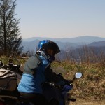
Photo - Jackie on her Beemer

Come on, Let's Go ! This is great!

It’s early for the Blue Ridge Parkway to be open to traffic at the south end. This is the highest, and in my opinion, the best section of the entire 469 mile motorcycle ride.  If you see just one piece of the Blue Ridge Parkway on your motorcycle vacation, this should be it, the section from Asheville to the south end of the parkway at Great Smoky Mountains National Park near Cherokee. Because it’s the highest section, it’s usually the last to open for the start of the spring season.

The number of outstanding roads that surround and connect to the Blue Ridge Parkway in this area is enough to keep you busy for a season and then some. It was just one stop on a great day of motorcycle rides that followed.  I think we passed more bikes then cars on our ride. If you had a motorcycle, you were out to enjoy it today.

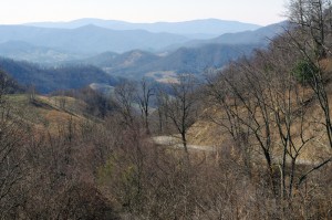
Photo - view from Crabtree Mountain Road

A view from Crabtree Mountain Road north of Canton. You can see a portion of it as it snakes it's way through the pass. Soon, this will all be green and spring flowers.

We doubled back via US 276 then cruised through Canton and headed north on Crabtree Mountain Road. I’d forgotten what a steep climb it was and how tight the switchback  curves are that bring you to the nice overlook at the top of the mountain pass. Up one side, down the other, then follow the serpentine path of the stream that flows through the valley. On to NC 209, out to Hot Springs, then hop from one great motorcycle ride to the next until you’ve had your fill.

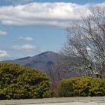
Photo - view form blue ridge parkway overlook

Before long, everything will be green and flowers!

It won’t be long until weather like this will be what we expect every day in the Smoky Mountains. The fields are already turning green. The first tiny leaves are emerging on the brush. Buds are fat and swelling almost ready to burst on the trees. Soon, the hillsides will explode with color as all that pent up winter energy is freed. From what I’ve seen so far, the motorcycles are ready for it. Are you?

_______________________________________________________________________________

Wayne Busch
Wayne Busch – Cartographer
– Wayne Busch lives in Waynesville, NC, where he produces the most detailed and comprehensive and up-to-date motorcycle pocket maps of the Blue Ridge and Smoky Mountains to help you get the most of your vacation experience. See them here – AmericaRidesMaps.com 
Rare Valentines Day Parkway Motorcycle Ride

I made my first motorcycle ride on the Blue Ridge Parkway today way earlier than expected. I found the gates open in Blowing Rock and I turned south to enjoy what winter had to show. A few deep snowdrifts still lingered along the road in shady spots, but most of the rest had melted.  It was good to be back on the nations most popular motorcycle ride. I can’t wait for the southern section to open.

Photo - Feb ride on the parkway

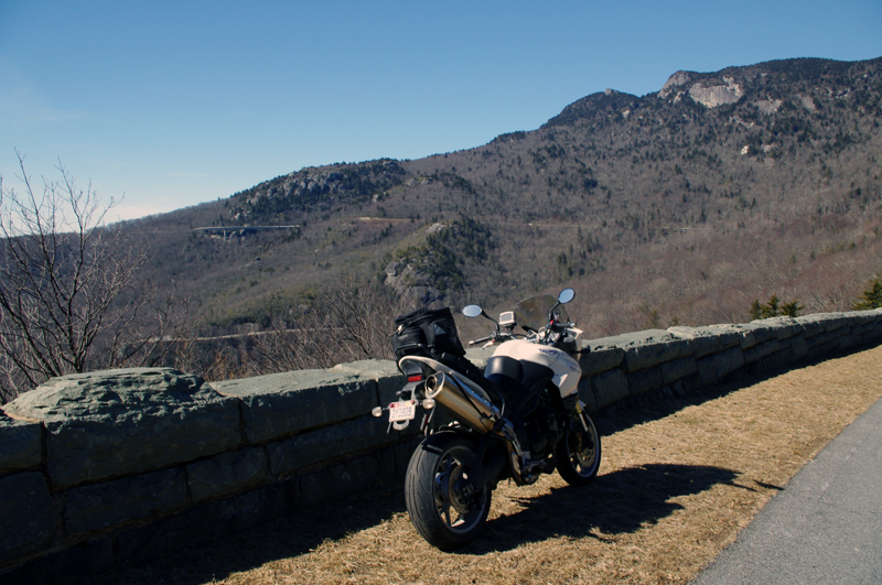
Stopped on the Blue Ridge Parkway near Grandfather Mountain. The Lynn Cove Viaduct is just above my bike. Beautiful day even with the high winds.

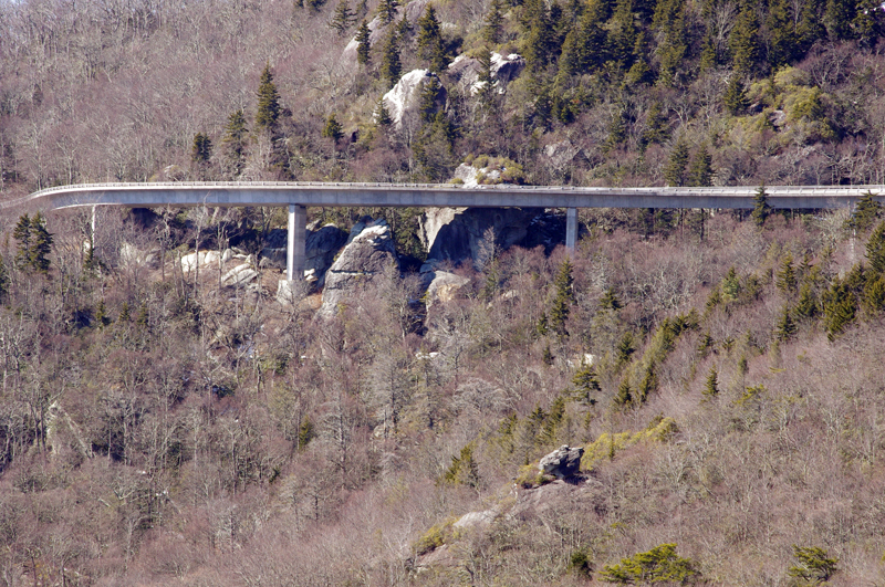
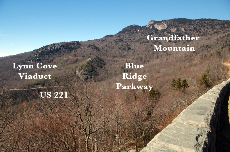
I enjoyed some great views of Grandfather Mountain and the Lynn Cove Viaduct. It was lined with snow and very pretty. The Blue Ridge Parkway is wonderfully free of the gravel and salt that covers nearly every other road in the Smoky Mountains right now, though there were a few spots with some sand on them. There was a high wind advisory in effect today and it was howling up on the ride, but I enjoyed it all the same. No trees had come down (yet), though there were some branches to dodge. Keep your eyes out for rocks in the road with the thaw, and crews are out working on projects.

Photo - Lynn Cove Viaduct

The Lynn Cove Viaduct. It's the newest section of the Blue Ridge Parkway, the last piece completed in 1983. It was cutting edge for the time.

My fun was too short as I hit the first road closure south of Grandfather Mountain. I ducked around it with one of my fun little shortcuts, but had to leave Blue Ridge Parkway in Linville. I couldn’t resist making up run up the Diamondback on the way home. It was in pristine shape and I was on the edge of my tires until the last few switchbacks near the top of the mountain. Here I ran into the sand and salt again and wiggled my way to the top as quickly as it would allow. Unfortunately the parkway was closed here at both exits. I’m still thankful for what I got!

Photo - grandfather Mountain

It's no wonder this area is so well known. There is a great view of the Viaduct from below on US 221 and it's an outstanding motorcycle ride from Grandfather Mountain to Blowing Rock as is the Blue Ridge Parkway.

Tomorrow, a short video of the ride up the Diamondback.

_______________________________________________________________________________

Wayne Busch
Wayne Busch – Cartographer
– Wayne Busch lives in Waynesville, NC, where he produces the most detailed and comprehensive and up-to-date motorcycle pocket maps of the Blue Ridge and Smoky Mountains to help you get the most of your vacation experience. See them here – AmericaRidesMaps.com 
The Blue Ridge Parkway on Snow Skis (6 Photos)

The first wave of snow has come and gone. After a couple days confined to the cabin, the roads cleared enough so we could get out, get some fresh air and exercise, and restock the pantry before the whopper of storms blows in shortly.

photo-3-skiers-on-blue-ridge-parkway

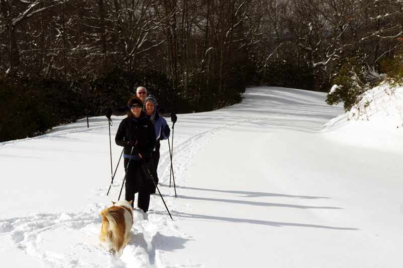
About a foot of snow on the Blue Ridge Parkway near Soco Gap and we had to break our own trail.

With the storm coming we’re likely to be snowed in for the next few days. We should see somewhere around another foot at my house, though things could get pretty deep up on the Blue Ridge Parkway.

Photo-jackie-busch-on-skis

Jackie glides by - it's not rare to see her off her BMW motorcycle when the weather gets cold

We’re grateful for the opportunity to get out. Cabin fever sets in pretty fast, especially when you are used to being outdoors. We start climbing the walls after 3 days.

Photo-snowy-blue-ridge-parkway-view

Just aim the pointy ends down hill and relax - looking over the edge of the Blue Ridge Parkway. The drops can be substantial.

So long as the power stays on, and it usually does, we’ll be fine. There are folks further north who would be glad to swap places.

Photo-others-enjoy-snow-on-blue-ridge-parkway

The parkway is not our exclusive winter playground. It's rare to have it all to yourself any time of year. We meet a snow shoer, then more skiers.

I’ll spend the next few days squirreled away in my  office revising another one of my Smoky Mountains motorcycle ride maps. It’s easier to get the tedium accomplished when there’s nothing else you can go do.

Photo-winter-blue-ridge-parkway

View from about a mile up the parkway. You're looking towards Cherokee though I never saw the casino. From higher up, at Waterrock Knob, you can't miss the huge buildings.
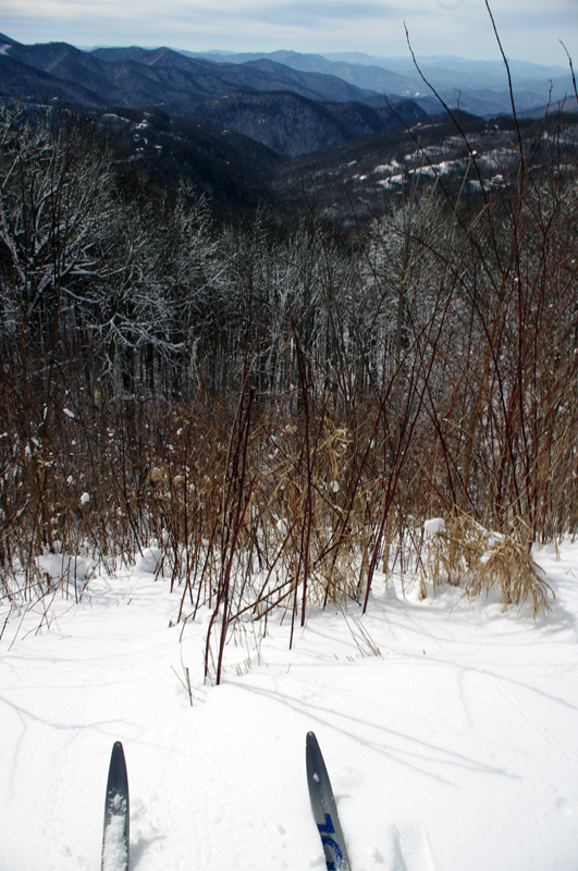
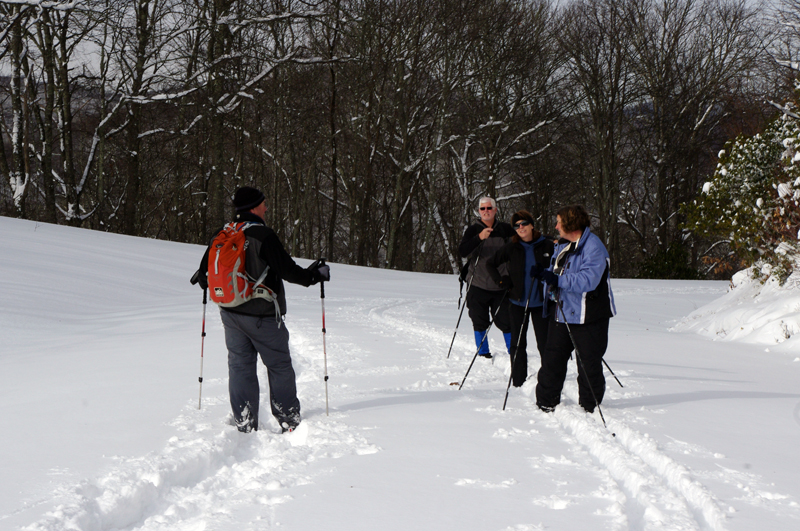
The reason I bother to post something like skiing the Blue Ridge Parkway is that it happens less often than you might think. There are only a few times each year the conditions are just right. They could have been better today, but it was good enough. It was a lot of work busting trail uphill. The downhills were not too bad at all.

Photo-skiing-on-the-Blue-Ridge-Parkway

The four of us packed down a nice trail to follow when we turned about for the downhill run. The dogs could barely keep up.

It’s hard to believe I was out on my motorcycle mapping the best rides in the Smoky Mountains just a few days ago. With any luck I’ll be out again by the end of next week. But for now, it’s hunker down time.

_______________________________________________________________________________

Wayne Busch
Wayne Busch – Cartographer
– Wayne Busch lives in Waynesville, NC, where he produces the most detailed and comprehensive and up-to-date motorcycle pocket maps of the Blue Ridge and Smoky Mountains to help you get the most of your vacation experience. See them here – AmericaRidesMaps.com