Misleading Blue Ridge Parkway Sign should come down

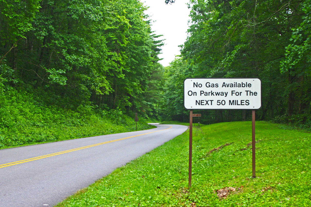
There was a time when the “No Gas for Next 50 Miles” sign at the US 74 exit on the Blue Ridge Parkway (MP 443.1) was an accurate warning, but it no longer serves the purpose.

photo-no-gas-sign-on-blue-ridge-parkway

This sign is a legacy to when gas was available on the Blue Ridge Parkway. It should now read "No gas next 400 miles". There is no gas on the Blue Ridge Parkway.

Years ago, there were gas stations on the Blue Ridge Parkway. This sign warns next gas was once available at the Pisgah Inn after a long lonely stretch with no convenient access to fuel. That’s no longer the case.

You’ll also see the remnants of a gas station at the Crabtree Meadows Visitor Center (MP 339.5).

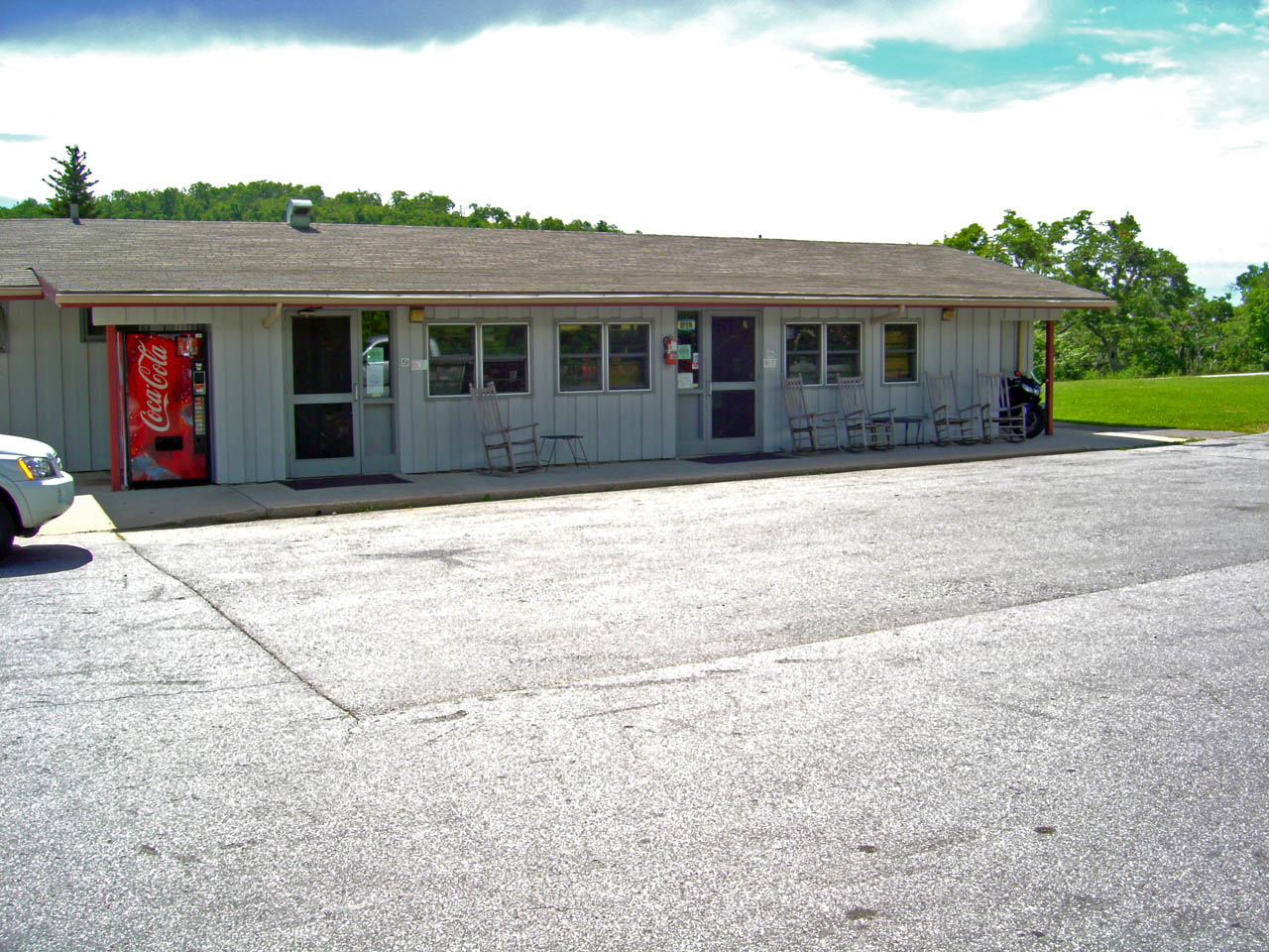
Country-Store-at-Pisgah-Inn

The Country Store at the Pisgah Inn was once a gas station. Now it's just a break spot and service for the campground.

The Park Service removed the gas stations yeas ago. There is no longer gas available on the Blue Ridge Parkway nor are there any signs directing you to the location of the nearest gas at an exit.

The only place you’ll find a gas station visible from the Blue Ridge Parkway is at Raps’ Deli at Orchard Gap (MP 193.8) in southern Virginia.

With the limited range of motorcycles and long stretches of isolated road, knowing where the gas stations are is one of those things that takes a lot of the worry out of a Blue Ridge Parkway trip.

image-section-of-map

You'll find the closest gas to each Parkway exit listed on each of my Blue Ridge Parkway maps and descriptions of the best roads nearby.

It’s one of the most useful features I’ve included on my maps – closest gas to each exit along the 469 mile ride. Sometimes it’s just a few miles, other times it can be quite a distance. Knowing which way to go can keep you from getting stranded and help you make the best use of your time.

In keeping with the park service’s ethic of minimal signage, this legacy warning sign should be removed.

__________________________________________________________________

Wayne Busch

Wayne Busch - Cartographer

Total Rider Tech Logo

Learn Total Control

– Wayne Busch lives in Waynesville, NC, where he produces the most detailed and comprehensive and up-to-date motorcycle pocket maps of the Blue Ridge and Smoky Mountains to help you get the most of your vacation experience. See them here – AmericaRidesMaps.com

Wayne is an advanced motorcycle instructor for Total Rider Tech teaching Lee Parks Total Control Advanced Rider Courses. Isn’t it time you looked into advanced rider training to ride more confidently and safely? It can transform your mountain riding experience.  Total Rider Tech

____________________________________________________________________

First Day of Winter – Let’s Ride the Blue Ridge Parkway!

So here it is, winter is officially upon us today and I spent the best of it on my motorcycle on the Blue Ridge Parkway.

I couldn’t stand it any longer. It was so warm when I took the dog out this morning I knew I was going to HAVE to get on the bike. The weatherman says rain is coming to the Smoky Mountains so I knew I’d need an early start.

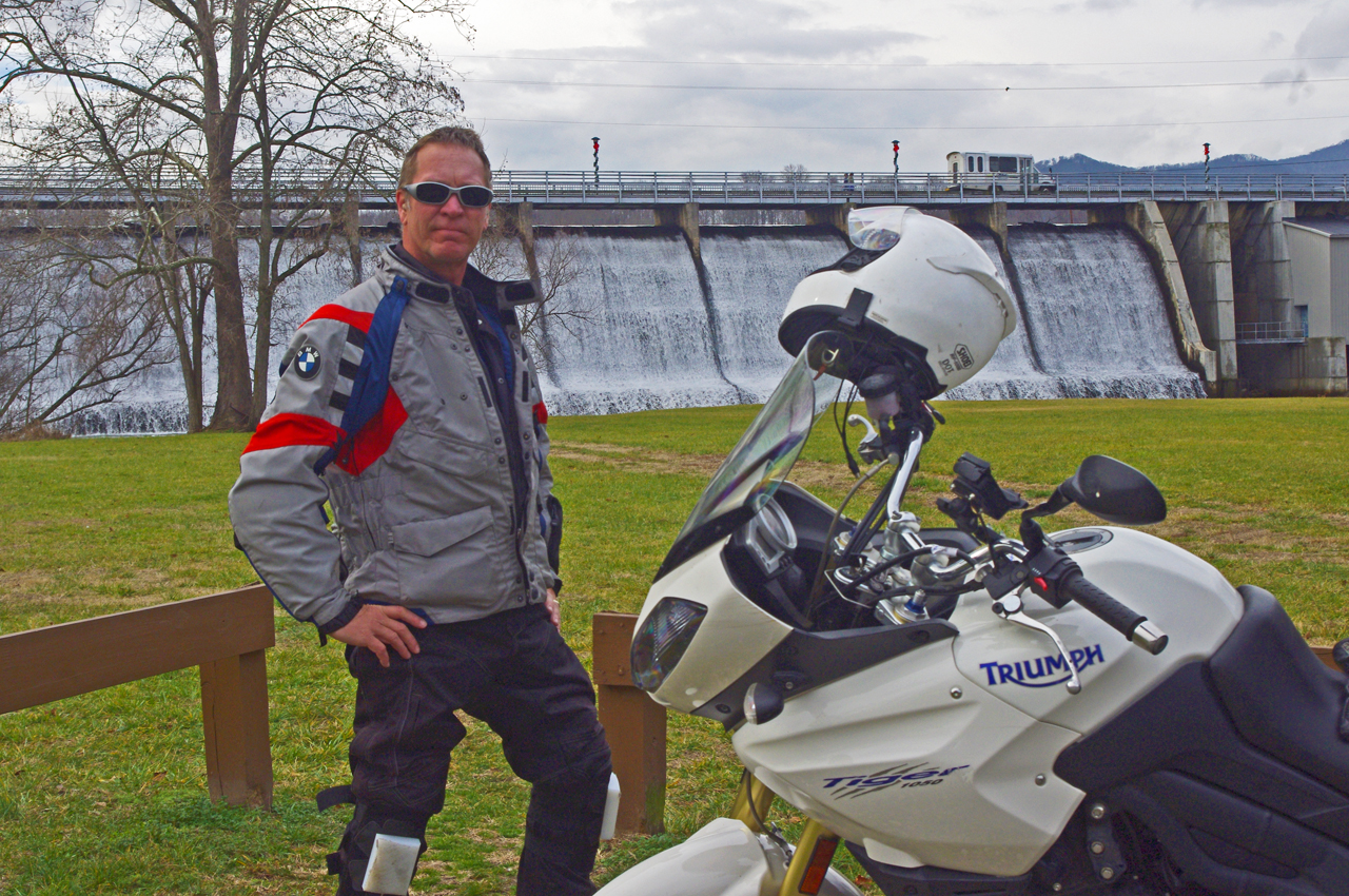
photo-wayne-at-lake-junaluska-dam

I would have settled for a nice short ride - (if you believe that, you don't know me very well)

“Just a short ride” I told my wife.

If nothing else I’d top up the near-empty tank and make a short spin of it. Thinking of someplace close I could get a photo, I headed to the dam at Lake Junaluska. Sure looked like rain was coming. Got my photo, then where?

It’s been so unusually warm lately, I decided to ride over to Maggie Valley and see if the Blue Ridge Parkway was open. Slim chance of it, but just maybe….

Photo-Wayne-celebrates-at Waterrock-Knob

Made it to Waterrock Knob! Enveloped in clouds, raining, but totally unexpected at this time of year. That would have been enough for most riders - it just goaded me to push on.

Passing the man made snow at Tony’s Tube World as I left the valley, I started to consider alternatives. If snow could linger down low, it would sure be too cold up high for the parkway to be open. If it wasn’t, I could always cruise over to Cherokee.

I turned onto the ramp to the Blue Ridge Parkway at Soco Gap, and sure enough, the gates towards Cherokee were closed when I reached the top. Oh well.

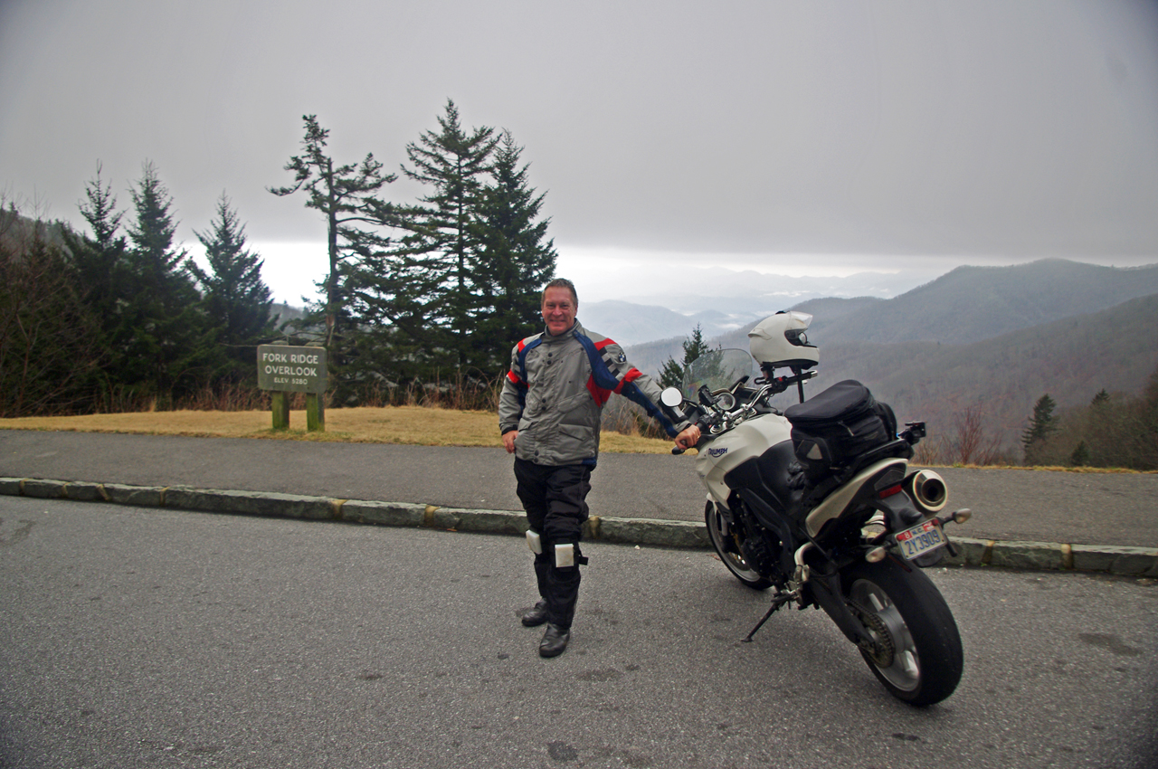
motorcycle-at-fork-ridge-overlook-1st-day-of-winter

I stopped for a photo when I came down to the mile-high Fork Ridge overlook. You can see the cloud ceiling a few hundred feet above me and the clouds in the valleys below.

As long as I was here, might as well ride over to see if the gates were closed heading south though the chances were even slimmer as the parkway climbs to some of the highest parts in that direction.

Surprise, surprise, the gates were open and I rolled on the throttle!

I didn’t think I’d get far, but I might at least get a photo from one of the lower overlooks. As I climbed, I came nearer and nearer to the cloud bank that socked in the mountain tops. Still, the road was clear.

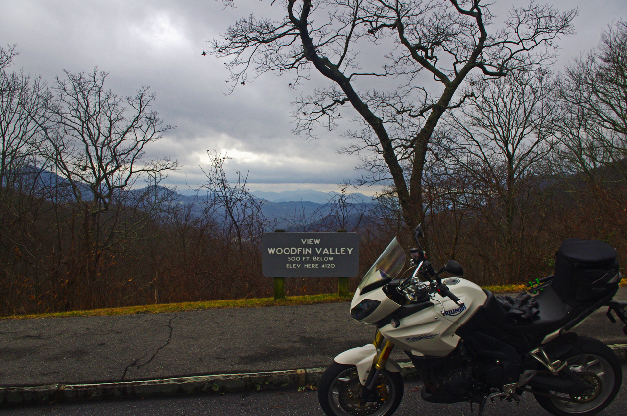
Photo-first-day-of-winter-on-blue-ridge-parkway

It was a good day for riding so long as you stayed down low. At 4000 feet, the Woodfin Valley overlook shows it's fine at the lower elevations. I couldn't resist going higher.

I was stoked when I reached Waterrock Knob. Totally enveloped in thick clouds and peppering light rain, I stopped for another photo. This was awesome and a rare occasion this far into the cold season.

I was happy as I continued towards the next exit at US 74 in Waynesville, dropping back below the ceiling of clouds and out of the rain.

I almost left the parkway at Waynesville (see my video of Waynesville), as the next section of the Blue Ridge Parkway leads to the highest point on the road. No way it would be open. Still, I was curious as to how far I would get and amazed to find the gates open as I crossed over the highway.

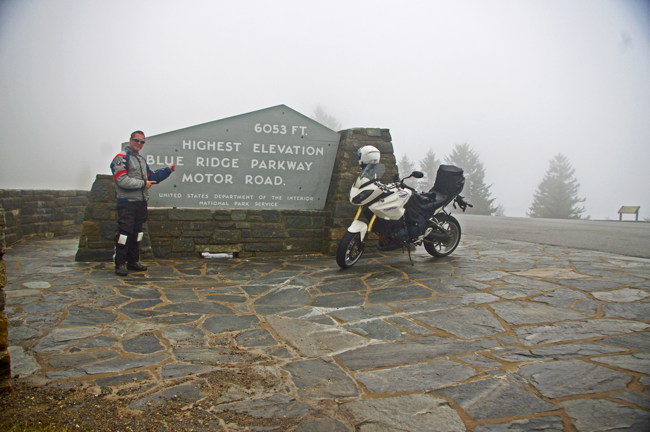
photo-wayne-rides-his-motorcycle-to-the highest-point-on-the-parkway

Can't believe it! I rode to the highest point on the Blue Ridge Parkway on the first day of winter. Same day last year we got a snow that covered the yard until well into march.

I began climbing again, and before long was back in the wet cloud bank. Except for a few stray cars, I had the road to myself and enjoyed it with enthusiasm.

It was windy and poor visibility when I reached the high point, but it was another unexpected treat. Took another photo to remember it by.

I rode the rest of the way to Beech Gap and NC 215 in heavy wet fog (here’s a wicked ride nearby). No views to speak of, and lots of rocks and debris from the small slides that occur where rocky faces run close to the road. Winter thaws and freezes cause a lot of little slides during this season but it’s not much of a problem as no one is there to be affected by them.

photo-fall-on-nc215-great-motorcycle-ride

Road condition has improved marginally since this fall photo of NC 215 following the resurfacing. Still plenty of loose gravel and slippery corners to negotiate. Not for the faint-of-heart. It will improve, but how much?

The ride home via NC 215 (see my video of NC 215)is unchanged from my last visit – the road is till a mess. If riding sharp turns on loose gravel isn’t your thing, you will want to avoid it a while longer until things clean up.

Same day last year, we got snow so deep it laid in my yard for 3 months. This year I’m riding. I think I like this year better!

_______________________________________________________________________________

Wayne Busch

Wayne Busch - Cartographer

Total Rider Tech Logo

Learn Total Control

– Wayne Busch lives in Waynesville, NC, where he produces the most detailed and comprehensive and up-to-date motorcycle pocket maps of the Blue Ridge and Smoky Mountains to help you get the most of your vacation experience. See them here – AmericaRidesMaps.com

Wayne is an advanced motorcycle instructor for Total Rider Tech teaching Lee Parks Total Control Advanced Rider Courses. It’s time you looked into advanced rider training to ride more confidently and safely, it will change your mountain riding experience. It worked so well for me I became an instructor! Total Rider Tech

_______________________________________________________________________________

Great Motorcycle Rides Easy to Find Online

Great Blue Ridge & Smoky Mountain Motorcycle Rides discussed live online @ Map Chat

I’ve kicked off a new series of live online interactive webinars discussing the best motorcycle rides in the Blue Ridge & Smoky Mountains called Map Chat.

First Tuesday of each month at 8 PM eastern time, join me as I review one of my America Rides Motorcycle ride maps in detail.

Get the schedule and links to the webinars at http://americaridesmaps.com/map chat.html

Here’s a 5 min edited version of the first of the Map Chat series where we discussed Map #1 – Great Rides Near the Start of the Blue Ridge Parkway in Virginia.

The full (40 minute) version of the webinar is posted online at: http://youtu.be/8g4GatVrUNc

_______________________________________________________________________________

Wayne Busch

Wayne Busch - Cartographer

Total Rider Tech Logo

Learn Total Control

– Wayne Busch lives in Waynesville, NC, where he produces the most detailed and comprehensive and up-to-date motorcycle pocket maps of the Blue Ridge and Smoky Mountains to help you get the most of your vacation experience. See them here – AmericaRidesMaps.com

Wayne is an advanced motorcycle instructor for Total Rider Tech teaching Lee Parks Total Control Advanced Rider Courses. It’s time you looked into advanced rider training to ride more confidently and safely, it will change your mountain riding experience. It worked so well for me I became an instructor! Total Rider Tech

_______________________________________________________________________________

image-virigina-motorcycle-ride-map

#1 Great Rides near the Start of the Blue Ridge Parkway in Virginia

See  / purchase the map discussed – Map #1 Great Rides Near the Start of the Blue Ridge Parkway in Virginia 

100 Best Motorcycle Rides in the Smoky Mountains

Motorcycle Map – Best Motorcycle Rides in the Smoky Mountains

America Rides Maps announces its first large format motorcycle ride map. Available in 24 x 36 inch and 31 x 48 sizes.

Image of map the Best Motorcycle Rides in the Smoky Mountains

Image of map the Best Motorcycle Rides in the Smoky Mountains - B&W version. Click for a closer look at all the detail!

The only map of its kind, The Best Motorcycle Rides in the Smoky Mountains highlights more than 100 of the best motorcycle rides and more than 50 good connecting roads to tie them all together into endless loops and touring routes.

This map is produced in Black & White  so YOU CAN CUSTOMIZE IT to fit your needs. Use colored markers to highlight where you’ve been or lay out where you want to go.

Santa - great gift ideaPlaning your motorcycle vacation trip has never been easier!

Hang it on the wall to show all the places you’ve been on your motorcycle vacation tours.

Got a favorite place to stay in the Smokies? Discover all the hidden riding nearby. Make the best use of your riding time, ride on on all the best roads,  avoid traffic and congestion.

$24.99 price includes free shipping and handling – First Class US Mail – average 2-3 day delivery. Ships unfolded.

Read more and order here: 

 The Best Motorcycle Rides in the Smoky Mountains

http://shop.americaridesmaps.com/The-Great-Motorcycle-Rides-of-the-Smoky-Mountains-BW-NC023BW.htm

Curious? Need more info? Email info@americaridesmaps.com

_______________________________________________________________________________

Wayne Busch

Wayne Busch - Cartographer

– Wayne Busch lives in Waynesville, NC, where he produces the most detailed and comprehensive and up-to-date motorcycle pocket maps of the Blue Ridge and Smoky Mountains to help you get the most of your vacation experience. See them here – AmericaRidesMaps.com
 

Motorcycle Riders Enjoying Blue Ridge Parkway Fall Color

This year, I spent the peak of the leaf season riding my motorcycle on the Blue Ridge Parkway. I photographed the scenery and captured other riders on their motorcycle vacation as they roared past. I selected some of the better ones and a few video clips to share memories with those of you who made it this year and to show those of you who are coming next what they’ve missed out on.

Watch on YouTube http://youtu.be/fQEqdbrt1fI

_______________________________________________________________________________

Wayne Busch

Wayne Busch - Cartographer

Total Rider Tech Logo

Learn Total Control

– Wayne Busch lives in Waynesville, NC, where he produces the most detailed and comprehensive and up-to-date motorcycle pocket maps of the Blue Ridge and Smoky Mountains to help you get the most of your vacation experience. See them here – AmericaRidesMaps.com

Wayne is an advanced motorcycle instructor for Total Rider Tech teaching Lee Parks Total Control Advanced Rider Courses. It’s time you looked into advanced rider training to ride more confidently and safely, it will change your mountain riding experience. It worked so well for me I became an instructor! Total Rider Tech

_______________________________________________________________________________

Blue Ridge Parkway Detour 2011 – the BETTER way

Photo - At the parkway detour

Which way to go? Let me help!

All things considered, the Blue Ridge Parkway is in the best shape it has been in for quite some time. It received a lot of attention with the 75th anniversary of the nations most popular motor park last year. Still, there is always work going on to maintain this 469 mile long road.

There is one section which is closed for 2011 near the North Carolina / Virginia border as historic rock walls are reconstructed and stabilized near the Doughton Park area. Because of this, the Bluffs Lodge did not open this year.

The official detour routes traffic north through Sparta, NC. There is a much more enjoyable route for motorcycle travelers.

Choosing this southern detour will allow you to avoid the bulk of the traffic which is directed north and avoid going through the town of Sparta. There is a gas station along this alternate route. While it is a bit longer, it is also quite twisty and scenic as it plunges down from the heights of the parkway, traverses a valley south of Stone Mountain State Park, then climbs again to return to the parkway to continue on your way.

You can download and print your own map of it by using this link:

http://americaridesmaps.com/downloads/Parkway_Detour_2011.pdf

You may also encounter some brief delays here and there, particularly between Boone, NC and Linville, NC as spot paving is done, roadside drainage is improved, and wooden guardrails are replaced.

_______________________________________________________________________________

Wayne Busch
Wayne Busch – Cartographer
– Wayne Busch lives in Waynesville, NC, where he produces the most detailed and comprehensive and up-to-date motorcycle pocket maps of the Blue Ridge and Smoky Mountains to help you get the most of your vacation experience. See them here – AmericaRidesMaps.com 

Hurricane Weekend in Maggie Valley on my Motorcycle

Photo-mt-mitchell-highest-in-east

A little cloudy and rainy was as bad as it got atop Mt. Mitchell

While curiousity got the best of me and I did cruise up to Mt. Mitchell to get a close look at the hurricane, the Smoky Mountain weather was beautiful for motorcycle rides and I took advantage of it with a bunch of local favorites. Judging from all the other bikes out on the road, a lot of coastal folks hopped on the hog and ran for the hills. It was a good decision.

Photo-Thunderhawg-motorcycle-rentals

Thunderhawg Motorcycle Rentals, Maggie Valley

Friday found me visiting my friends at ThunderHawg motorcycle rental which just opened at the corner of US 276 and US 19 after my ride north on the Blue Ridge Parkway to Mt. Mitchell. Peggy and Mark rent Harleys and it’s nice to have a local rental place again in Maggie Valley. They’ve got tons of info, maps, and they love to meet and greet motorcycle vacationers to the Smoky Mountains. Stop in and see them when you pass through.

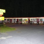
photo-aholiday-motel

A Holiday Motel - Saturday night

Saturday, I rode the Blue Ridge Parkway the other way to Cherokee and Bryson City to stop in at The Gear Head Inn, then hopped on some of the great roads south of there. I ended up at A Holiday Motel in Maggie Valley to pass the time while my wife ran in the 8K Maggie Valley Moonlight race.  Always popular with motorcycle vacationers, the A Holiday Motel was full of bikers who came to enjoy the splendid weather. The bonfire was going out front and I was able to cheer Jackie on and spend a little time with the riders. Dale from Wheels Through Time Motorcycle Museum came by with a couple of Australian visitors who had borrowed a couple of his antique Harleys.

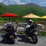
The view from Riders Roost Restaurant is awesome

The view from Riders Roost Restaurant is awesome

Sunday, I cruised NC 215 and US 276, then followed the Blue Ridge Parkway back to Maggie Valley to stop in at Riders Roost Restaurant in before we headed back up on the Blue Ridge Parkway to enjoy the crystal clear evening skies that came in after the storm.

No matter which way you point your wheels from Maggie Valley, you’ll find outstanding riding. The Best section of the Blue Ridge Parkway is right up the hill. It’s a great place to base out of for your motorcycle trip to the Smoky Mountains as so many great rides are within easy reach.

Check out AllRoadsLeadToMaggie.com when planning your visit. Maggie Valley is the heart of good motorcycle riding in the Smoky Mountains.

_______________________________________________________________________________

Wayne Busch

Wayne Busch - Cartographer

Total Rider Tech Logo

Learn Total Control

– Wayne Busch lives in Waynesville, NC, where he produces the most detailed and comprehensive and up-to-date motorcycle pocket maps of the Blue Ridge and Smoky Mountains to help you get the most of your vacation experience. See them here – AmericaRidesMaps.com

Wayne is an advanced motorcycle instructor for Total Rider Tech teaching Lee Parks Total Control Advanced Rider Courses. It’s time you looked into advanced rider training to ride more confidently and safely, it will change your mountain riding experience. It worked so well for me I became an instructor! Total Rider Tech

_______________________________________________________________________________

Motorcycle Friendly – Skyline Village Inn, Little Switzerland

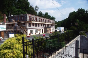
photo-skyline-inn

The Skyline Inn, Little Switzerland, NC

Located right at the start of the Diamondback Motorcycle Ride, the Skyline Village Inn offers a scenic stay, good food, a nice selection of beer and wine, and one of the most unique and historic places to stay on the Blue Ridge Parkway.

First of all, the Skyline Village Inn has a story and it’s a great one. (If you want all the details click here and go the their site in a minute). In a nutshell, the Skyline Village Inn was built as a front to cover up a huge moonshine operation which operated out of secret caverns beneath it. When not brewing corn, they used their free time to do intricate stone and woodwork throughout the building and grounds. Some of the wood inlay work on the tables in the lounge belongs in a museum. They give tours of the moonshiners caverns. I didn’t ask if they still sell “shine”, but the beer and wine on hand is diverse and high quality.

photo-skline-inn-woodwork

Those moonshiners used 17 kinds of local wood

The building was constructed in the 1930’s and 40’s, before small roadside motels came into vogue, so it has an authentic historic atmosphere that permeates the entire place. Those moonshiners built with quality and it endures.

The Skyline Village Inn sits high atop the ridge with commanding views. You can see the beautiful stone arch where the Blue Ridge Parkway passes over NC 226 down the road at the Spruce Pine exit at milepost 331 from out front of the Inn. The rooms open onto a porch where you can sit to enjoy the view.

Best of all for the motorcycle rider, the  Skyline Village Inn sits at the head of the Diamondback Motorcycle Ride, one of North Carolina’s most popular rides. Just roll out  of the covered motorcycle parking and you’re on the ride.

photo-motorcycle-NC-226

Rider nears the top of NC 226. Shot from the overlook across from the Skyline Inn


While the Diamondback is popular, the ride they like to send you on from the Skyline Village Inn is the Murder Mountain Ride. You can do the short version of the Diamondback Loop down 226A then back up 226 in about 45 minutes. The Murder Mountain Ride is much more of a commitment, about 3 1/2 hours minimum, but it includes a traverse of spectacular Roan Mountain and some of the twistiest and most enjoyable roads in North Carolina and a bit of Tennessee. (See Murder Mountain Ride Description / Map here)

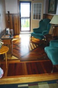
photo-room-at-skyline-inn

A room at the Skyline Inn

If you want to stay somewhere you’ll remember and can tell (good) stories about, consider the Skyline Village Inn on your Blue Ridge Parkway motorcycle ride.

Skyline Village Inn

Murder Mountain Ride

Diamondback Motorcycle Ride


_______________________________________________________________________________

Wayne Busch

Wayne Busch – Cartographer

Total Rider Tech Logo

Learn Total Control

– Wayne Busch lives in Waynesville, NC, where he produces the most detailed and comprehensive and up-to-date motorcycle pocket maps of the Blue Ridge and Smoky Mountains to help you get the most of your vacation experience. See them here – AmericaRidesMaps.com

Wayne is an advanced motorcycle instructor for Total Rider Tech teaching Lee Parks Total Control Advanced Rider Courses. It’s time you looked into advanced rider training to ride more confidently and safely, it will change your mountain riding experience. It worked so well for me I became an instructor! Total Rider Tech

_______________________________________________________________________________

Why so many great motorcycles rides in the Blue Ridge & Smoky Mountains?

Why are there so many great motorcycle rides in the mountains of the southeast? It’s a combination of geography, history and climate.
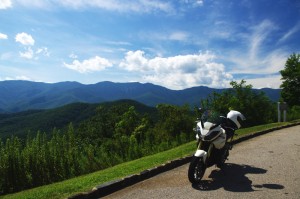
photo-black-mountains

One of my favorite Blue Ridge Parkway overlooks of the Black Mountain Range - highest in the east.

Geographically, the Blue Ridge and Smoky Mountains are very, very, old. Over the eons of time mountains once taller than Everest have weathered, eroded, and subsided to where their heights never much exceed 6000 feet in elevation. Compared to the lofty Rocky mountains in the midwest and the great Sierra Range on the far coast, those in the east are half the size.

While those western mountains soar to dramatic heights, it’s not without a cost. The lower elevations of the Blue Ridge Mountains make them accessible in every season. The softer, gentler topography of the mountains of the east makes building and maintaining roads to connect the valleys and towns more feasible.

photo-penland-post-office

Post office, Penland, NC - the Blue Ridge Mountains are rich with historic sights waiting to be discovered on your rides

History favors the mountains of the east as well. Settlement of our country began on the east coast and gradually moved inward as the population grew. Hill by hill, valley by valley, one small settlement at a time, the trails leading to them became the roads we now enjoy. More people, more time, more roads to connect them all together.

Finally there’s the climate, which is heavily influenced by altitude. The mild wet climate of the east promotes the growth of the dense forests and makes growing crops and farming much easier. The high dry desert climate of the west holds sparse vegetation, harsh conditions, and long cold winters.
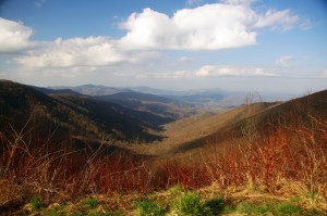
Photo - morning on the Cherohala Skway

View from the Cherohala Skyway in early March - mild climate means year round riding in the Blue Ridge Mountains

Life gets even tougher as you go up into the high mountains of the west. Crops can’t grow at the extreme elevations, and were it not for mining and timber, those vast western mountains would be even less populated than they are now. Fewer people means fewer roads in general, and building and maintaing those that pass through the high places is much more difficult and costly.

Finally, the development of the Interstate Highway system works to favor of the high quality of the motorcycle rides in the east.  As more people used them to move into the west, the fewer local roads and passes there became more crowded. More people on fewer roads, many of which open for only part of the year, means more congestion and traffic in the west.
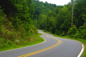
Photo-Charlies-Creek-Rd

Charlie's Creek Rd - typical of the wonderfully empty and inviting rides that abound in the Smokies

In the Blue Ridge and Smoky Mountains, when the traffic moved to the Interstate Highways, it relieved the pressure on the back roads. One of the greatest pleasures of riding a motorcycle in the Blue Ridge Mountains is the absence of traffic. The selection of two lane, empty, winding roads through beautifully scenic and historic places just never seems to end.

Recently back from my motorcycle touring in the mountains of California, then Colorado, my appreciation for the bounty of great motorcycle rides in the Smoky and Blue Ridge Mountains is refreshed. While I loved the dramatic change of scenery, the vast distances and scale of things to the west, one thing became crystal clear –
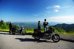
Photo-motorcycles-on-parkway

Bikers pause to admire the stunning views in the Smoky Mountains

Out west, you are on a mountain. It’s a harsher, more extreme landscape, you are a temporary interloper. In the Blue Ridge and Smoky Mountains, you are in the mountains. They cradle and surround you, it’s a comfortable and welcoming environment.

I enjoy my travels and motorcycle rides in other places, but there is simply nothing which comes close to the quality and quantity of outstanding motorcycle rides right in my back yard. While lots of bikers pay a visit, I doubt they much scratch the surface of the gold mine of motorcycle riding that exists here. I know, I’ve mapped hundreds of these great motorcycle rides, thousands of miles of two lane twisties, it’s what I do for a living.
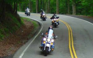
Photo-motorcycles-on-the-dragon

Some roads, like the Dragon at Deals Gap are well known - a wealth of others await your discovery!

Half the population of the US lives within a days ride of the Blue Ridge and Smoky Mountains. It’s an easy trip to get here. It’s affordable and convenient. The motorcycle rides are beautiful, scenic, challenging, and the mountains are full of roads that thrill the motorcycle rider, more than can be visited in a season, let alone a single motorcycle vacation tour.

I’ve said it before, and continue to preach – “There are more great motorcycle rides in the Blue Ridge and Smoky Mountains than anywhere else”.  

Why not start planning your motorcycle trip right now?

Still need convincing? Visit www.AmericaRidesMaps.com to see just how many great roads there are waiting for you!

_______________________________________________________________________________

Wayne Busch

Wayne Busch - Cartographer

Total Rider Tech Logo

Learn Total Control

– Wayne Busch lives in Waynesville, NC, where he produces the most detailed and comprehensive and up-to-date motorcycle pocket maps of the Blue Ridge and Smoky Mountains to help you get the most of your vacation experience. See them here – AmericaRidesMaps.com

Wayne is an advanced motorcycle instructor for Total Rider Tech teaching Lee Parks Total Control Advanced Rider Courses. It’s time you looked into advanced rider training to ride more confidently and safely, it will change your mountain riding experience. It worked so well for me I became an instructor! Total Rider Tech

_______________________________________________________________________________
The Blue Ridge Parkway – Old World Craftsmanship Endures

Photo--Blue-Ridge-Parkway-Sign

Blue Ridge Parkway - History preserved

As you make that Blue Ridge Parkway motorcycle ride this year you will encounter one major detour near Doughton Park just south of the Virginia border in North Carolina. Within this stretch of road, the beautifully crafted stone walls which line the shoulders of the Blue Ridge Parkway are being restored and foundations added to insure they endure long into the future.  Originally built by master stone masons brought from Europe, descendants of the original craftsmen now labor to re-craft the work done by their grandfathers.  This video shows the care being taken to preserve the historic legacy of the national park insuring each stone is returned to its original position.

While the park service has routed traffic north on a detour which takes you through Sparta, I’ve identified another more challenging and scenic detour route that will take you on a ride that gets you away from all the other traffic and takes you to sights those others miss seeing. This video shows you the details of what I believe is a better detour route for motorcycle travelers –

Use this link to download a map of this detour route you can print at home and take with you on your journey. goo.gl/pCRdP

This section of the Blue Ridge Parkway is detailed on America Rides Maps Map #3 – North Carolina / Virginia Border Rides, part of the 6 map Blue Ridge Parkway set.

_______________________________________________________________________________
Wayne Busch
Wayne Busch – Cartographer
– Wayne Busch lives in Waynesville, NC, where he produces the most detailed and comprehensive and up-to-date motorcycle pocket maps of the Blue Ridge and Smoky Mountains to help you get the most of your vacation experience. See them here – AmericaRidesMaps.com