Let’s get the obvious out of the way right now so we can enjoy the rest of the story, “There are more great Motorcycle Rides in the Blue Ridge and Smoky Mountains than anywhere else”. You knew it was coming, and now being said, we can move on.
We flew into Phoenix, stayed in Scottsdale.
While many riders fantasize about riding cross-country to reach those far-off destinations, I’m so over that. Droning along on the interstates through days of monotonous and uninteresting landscape is a waste of time and tires to me. With just 6 days of travel on my calendar, it would have taken 8 just getting there and back on the bikes. Once again, we flew in and rented a motorcycle to maximize our quality riding time.

Motorcycle Rides in Arizona: Sedona, Scottsdale area - A balloon ride really helps you appreciate the harshness of the desert and the general landscape.
Phoenix is a city of 1.5 million people who choose to live in a scalding moonscape unfit for sensible human habitation. Endless months of triple-digit temperatures preserve the volcanic origins of the region as if it was a recent event in geologic time. The rocky remnants of those ash-spewing calderas rise on the horizons like mountainous islands peeking above a deep, deep, rolling sea of gray-brown boulders, rocks, and dust. The entire region is one big blast and fallout zone.
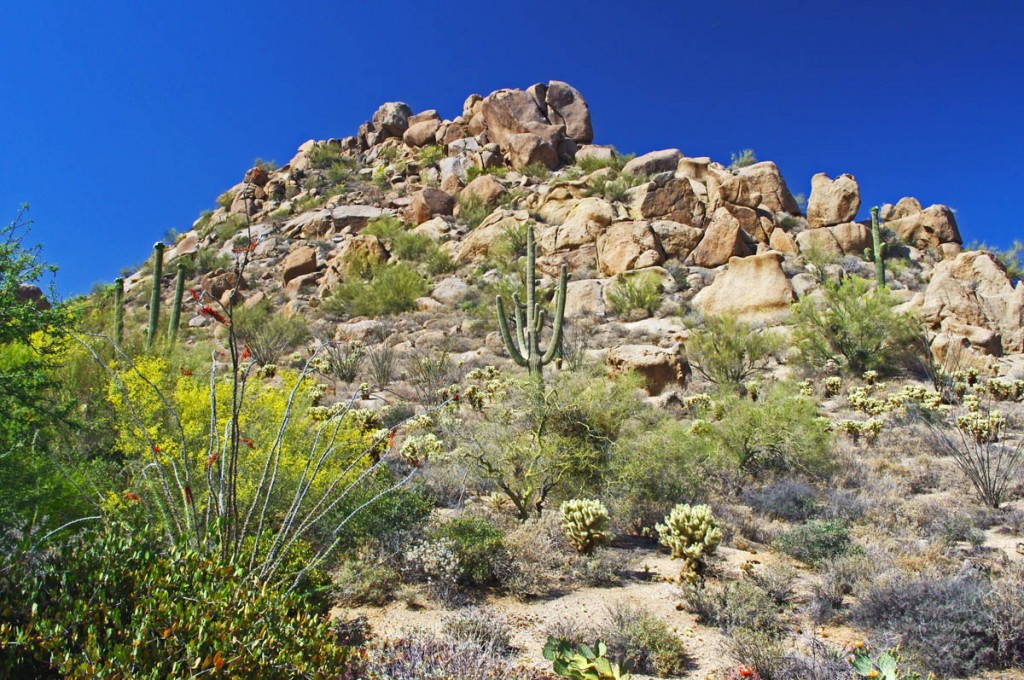
Motorcycle Rides in Arizona: Sedona, Scottsdale area - Spines, thorns, prickles, barbs, horns, needles, spikes, everything wants to hurt you!
5% humidity deprives most living things any chance of thriving. Oxymoronic “river” signs mark parched sandy gulches where runoff collects for a few short minutes before re-vaporizing for the next few weeks – or months. Most every living thing is so bent on survival it threatens all others with spines and needles, fangs and venom to keep them at a distance. Nature has obviously posted the “Do Not Enter” sign.
A long motorcycle ride looping north from Scottsdale
We stuck to local sights the first day, visiting Cave Creek for lunch, and Natural Bridge to the north. The next day, we followed 74 northwest to US 60, then veered north on 89 near Wikenburg. The ride to Wikenburg was pretty miserable, just dry empty desert, highway traffic, vast open spaces.
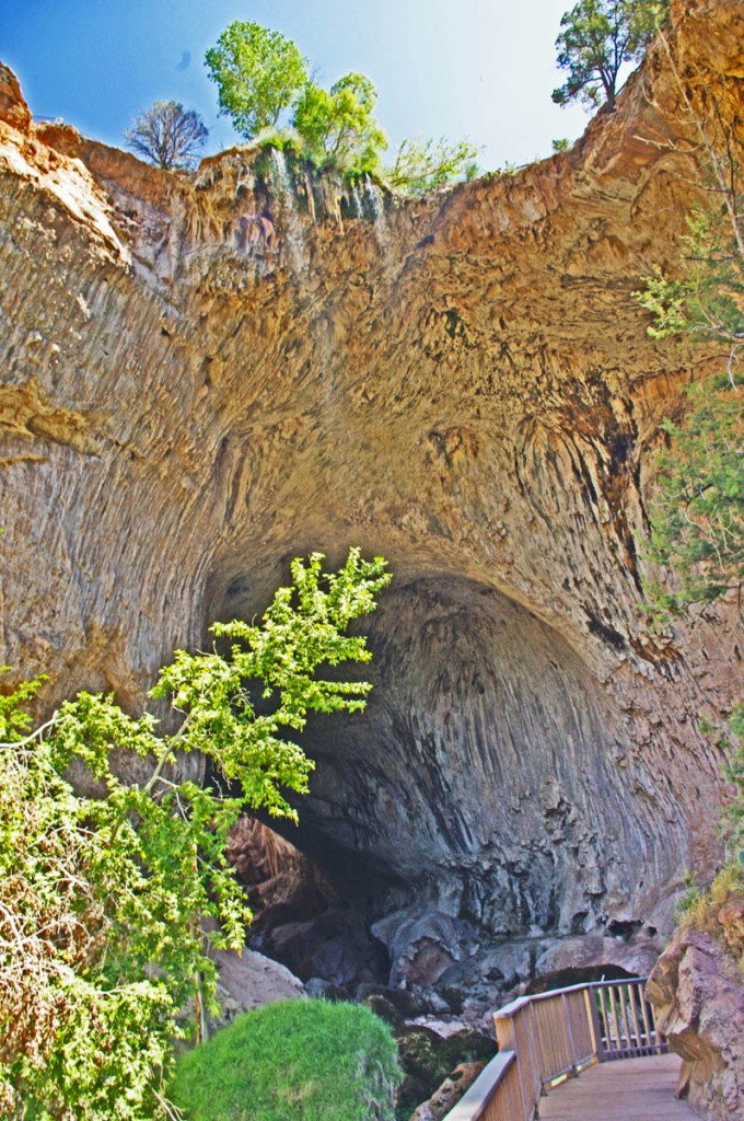
Motorcycle Rides in Arizona: Sedona, Scottsdale - Natural Bridge, AZ, one of the side trips worth taking.
Route 89 soon climbs through a nice section of switchbacks to gain some elevation. The terrain gets a little more green and hospitable and the riding improves as the road seeks the better passage between the rolling hills. Riding along you are taunted by the “No trucks over 50 ft length X miles ahead on 89”, and when you finally pass through Wilhoit the ride gets nice and curvy and fun.
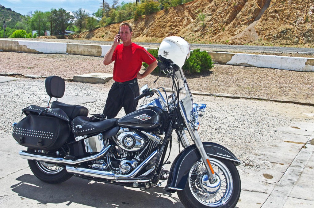
Motorcycle Rides in Arizona: Sedona, Scottsdale area - A break near Prescott. Returning the phone calls that come in while I'm riding.
89 then passes through the town of Prescott which so interested us, we discussed the potential for basing there for a future trip. It seems to have a lot to offer. North of Prescott, we veered east on 89A for the best section of road I found this trip – the mountainous portion known as the Mingus Highway.
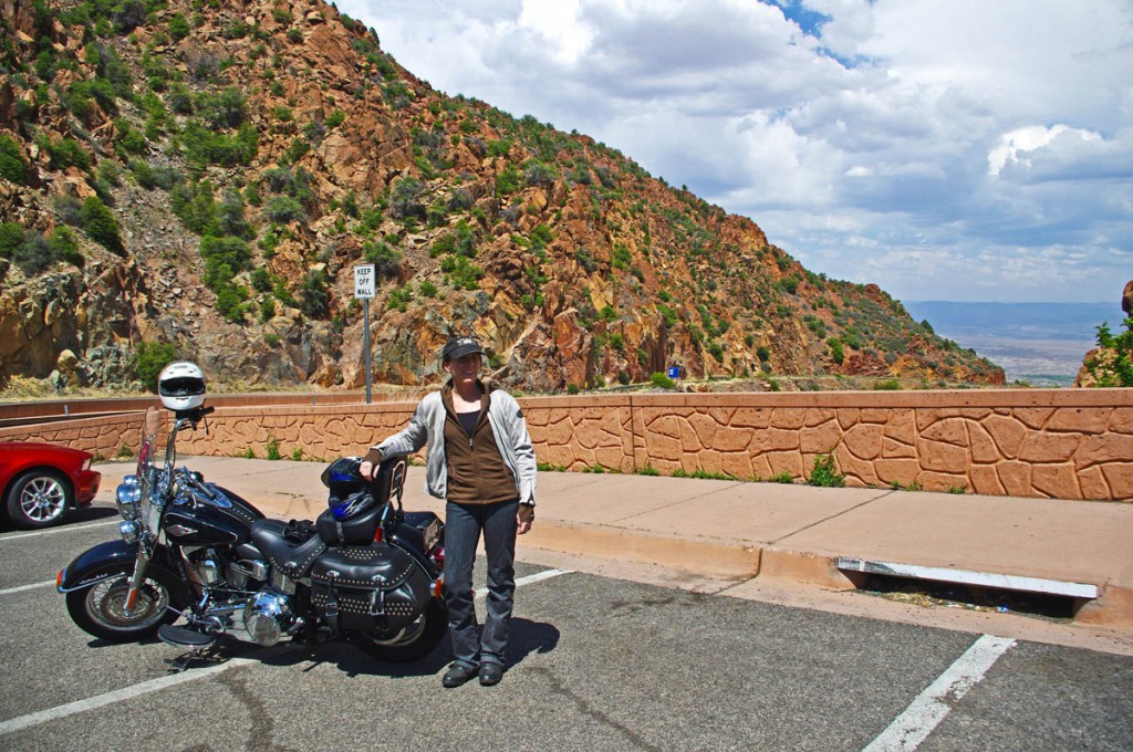
Motorcycle Rides in Arizona: Sedona, Scottsdale area - Jackie gets ready to descend from the Mingus Highway through Jerome, the best section of road this trip. Really put the softail through it's paces here!
The Mingus Highway twists and carves through the elevations much like the roads I so enjoy at home in the Smoky Mountains, though the arid scenery could easily convince you it’s a canyon ride in California. Exiting north, the roads plunges down from 6000 foot heights passing through the tiny hamlet of Jerome, clinging to the edge of the slopes nearly a mile above the valley below. A popular stop, we could not afford the delay, though next time it’s worth exploring.
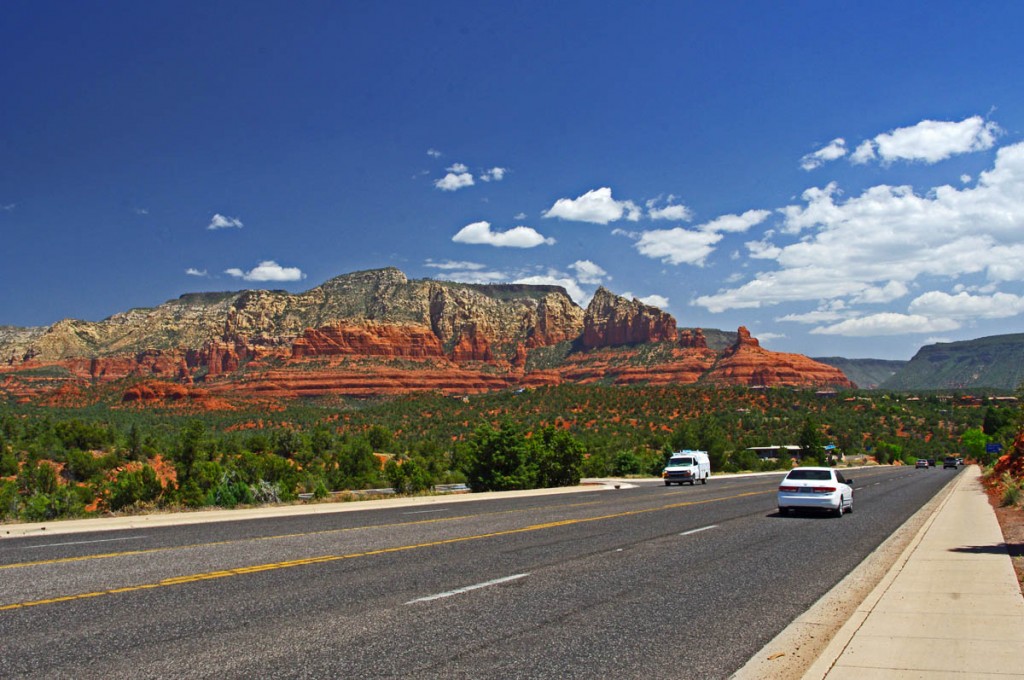
Motorcycle Rides in Arizona: Sedona, Scottsdale area - How pretty is Sedona? Approaching from the west, this is the least scenic of the 3 routes into town.
We passed through Clarkesdale and Cottonwood, to reach the apex of our days ride – Sedona. As beautiful as it was, Sedona was just our lunch stop today, a first visit for me. Surrounded by the red rock monuments, the destination town is a vortex for tourists and caters to the crowds who flock there.
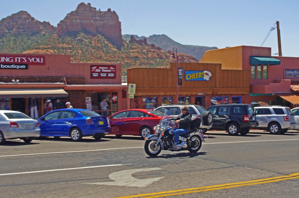
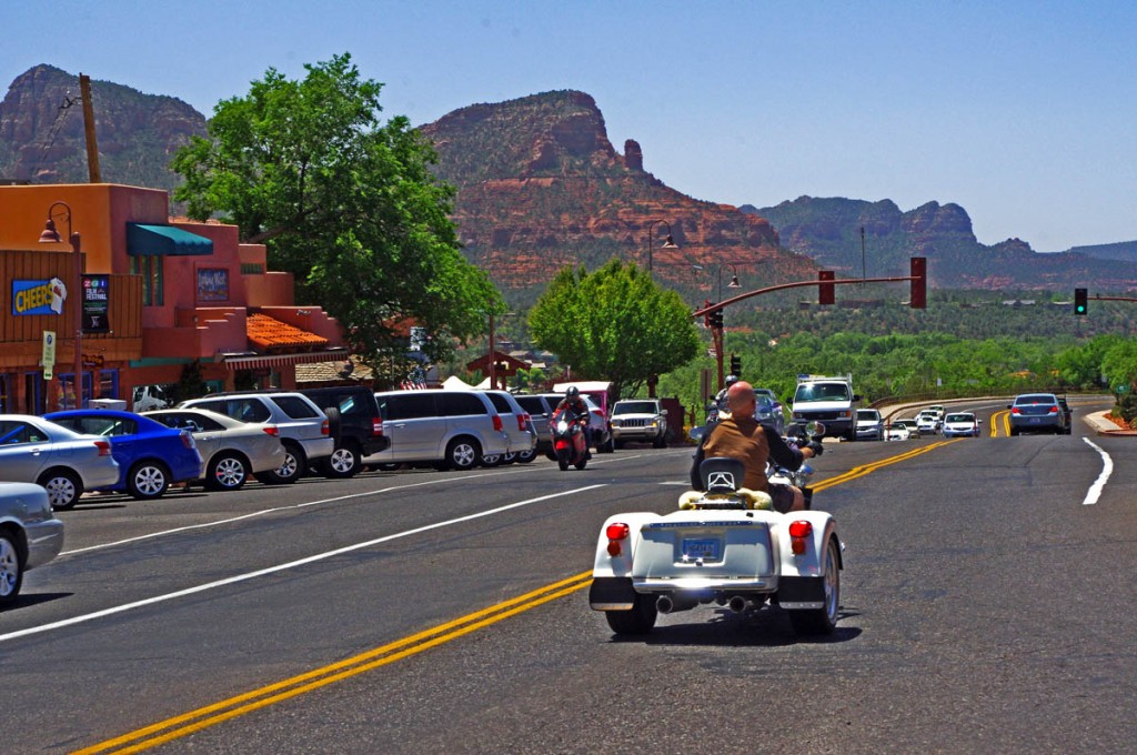
Motorcycle Rides in Arizona: Sedona, Scottsdale area - Cruising through Sedona, the town is surrounded by the red rock formations on every horizon.
The ride turned south out of Sedona onto one of the most scenic rides you’ll find as Route 179 winds between the colorful rock formations to Oak Creek. Once you pass the casino at the edge of town, the road runs through unremarkable desert to intersect Interstate 17 and we continued south on the highway for a distance.

Motorcycle Rides in Arizona: Sedona, Scottsdale area - Some of the best and easiest views are right along Route 197 south of Sedona.
We turned east when we reached Route 260 and started climbing into the higher elevations and more interesting and scenic riding. Temperatures dropped as we climbed to 7000 feet and entered the high pine forests. Route 260 became Route 87 as we continued south through the small towns of Strawberry and Pine, and the larger sprawling town of Payson.
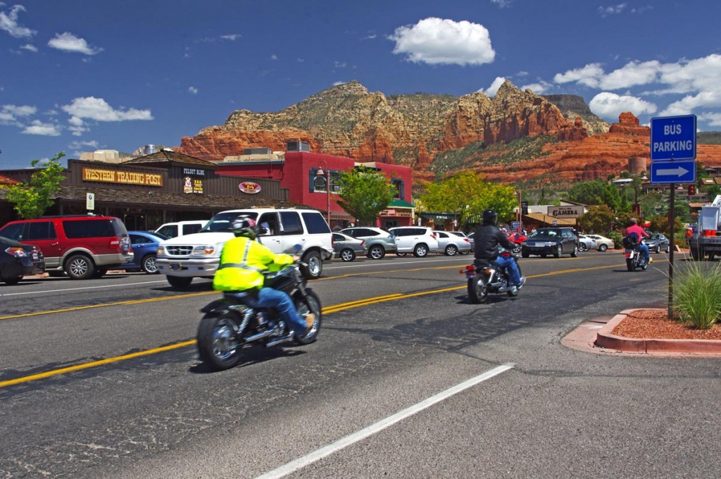
Motorcycle rides in Arizona: Sedona, Scottsdale area - Sedona is a popular destination for motorcycle riders for obvious reasons.
Progressing south from Payson on Route 87 the road gains another lane then gradually leads you down from the heights and back out into the Sonoran Desert returning to the city. We covered a little more than 400 miles on this loop ride, the longest of the trip.
A nice loop ride east of Phoenix / Scottsdale
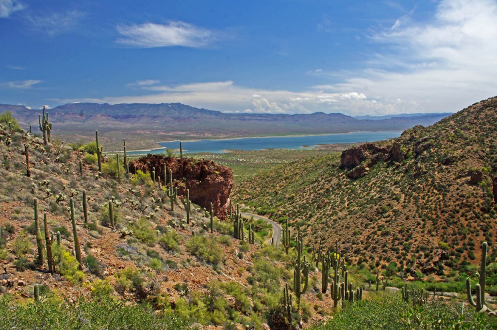
Motorcycle Rides in Arizona: Sedona, Scottsdale - Riding 188 south is a nice cruiser ride that includes sections along Theodore Roosevelt Lake
I saw this ride described as a great “cruiser” road and I’ll concur with the assessment. It’s easy riding with nice scenery and relatively little traffic. Route 87 north led us through the gentle sweeping curves that climb to the high desert. We made up names like “boulder city” and “the cactus jungle” to describe distinct areas along the route, and rolled through the essentially treeless national forest to reach Route 188 and turn southeast.
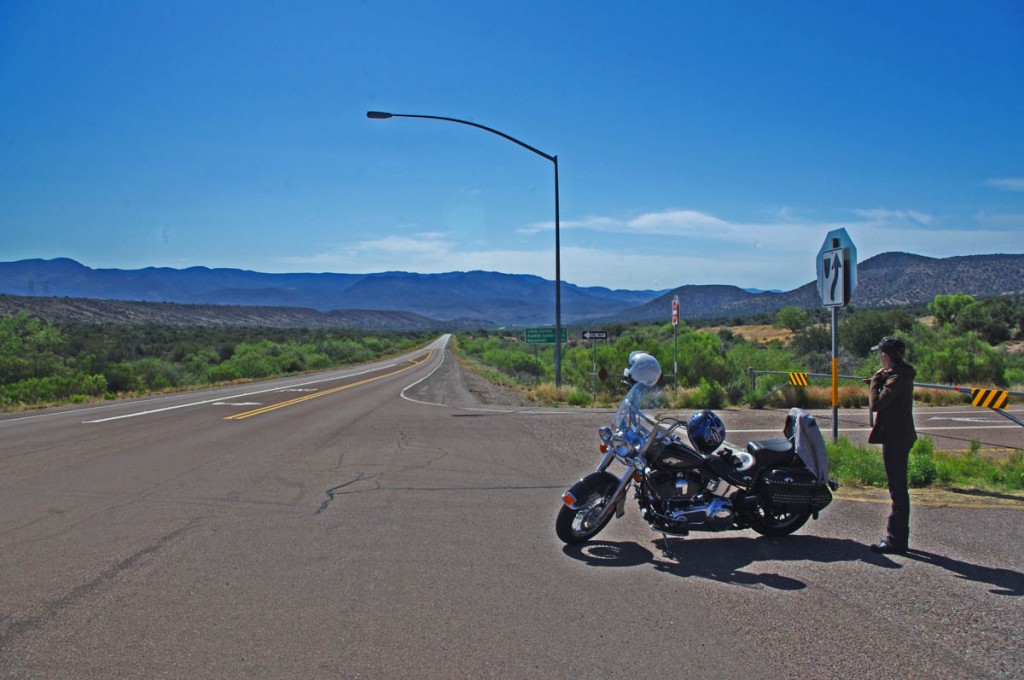
Motorcycle Rides in Arizona: Sedona, Scottsdale area - Turning on to Route 188. When you're from the Smoky Mountains, a straight road is a rare sight deserving of a photo!
Route 188 formed the long side of the triangle we rode on this loop. More gentle flowing two lane curves through the dry hills lead to a long ride aside cobalt blue Theodore Roosevelt Lake. It’s pleasant and relaxing riding with the nice contrast of scenery and color.
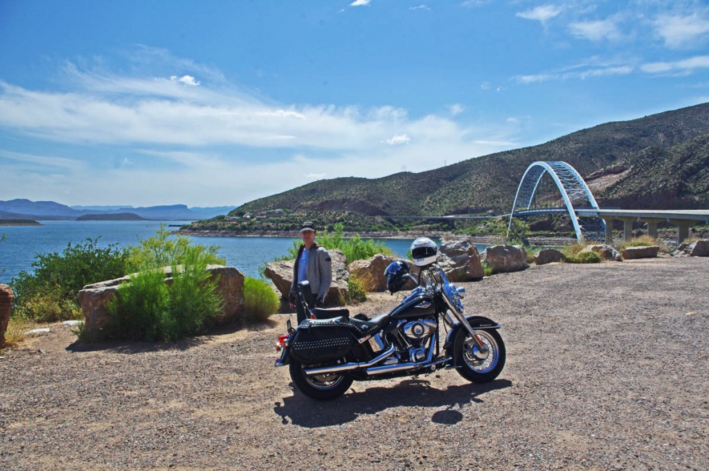
Motorcycle Rides in Arizona: Sedona, Scottsdale area - Very pleasant ride along Theodore Roosevelt Lake. Jackie and I pause for a cool drink and to admire the bridge.
Along the way, we stopped at Tonto National Monument to see the historic cliff dwellings. It’s a steep walk up the trail and I wouldn’t wan’t to do it on a hot day, but we enjoyed our visit and the sights.
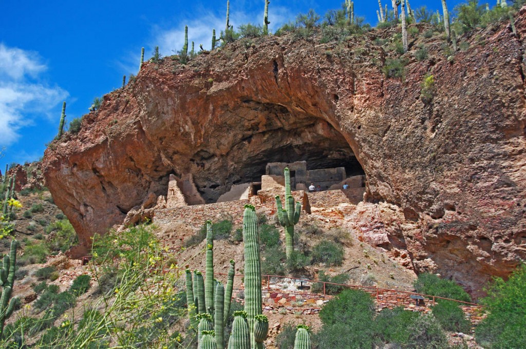
Motorcycle Rides in Arizona: Sedona, Scottsdale area - Tonto National Monument has historic cliff dwellings with a steep hike, but it's a great stop along Roosevelt Lake.
We turned onto the third leg of the triangle, Route 60 in Claypool, and started west toward Phoenix. We passed through miles and miles of massive mining operations and the mountains of tailings, then entered a wonderfully scenic canyon near Top-of-the-world. The steep drop through the spectacular rocky cliffs dumped us at the edge of a vast flat desert basin and a long arrow-straight drone back to the city. We covered about 250 miles on this day.
Sedona Highlights – what to see on a short visit
Sedona is one of the most scenic towns you’ll visit in the southwest, surrounded by towering red rock monuments on every horizon. We spent a day exploring the area and here are my suggestions on how to get the most out of a short visit.
Route 89A approaches town from the west, then exits north. Route 179 junctions with Route 89 in the heart of town leading south.
Approaching town from the west on 89A, to get one of the best views ride to the top of Airport Road. The view from atop the mesa overlooks the entire town and panorama of breathtaking geography.
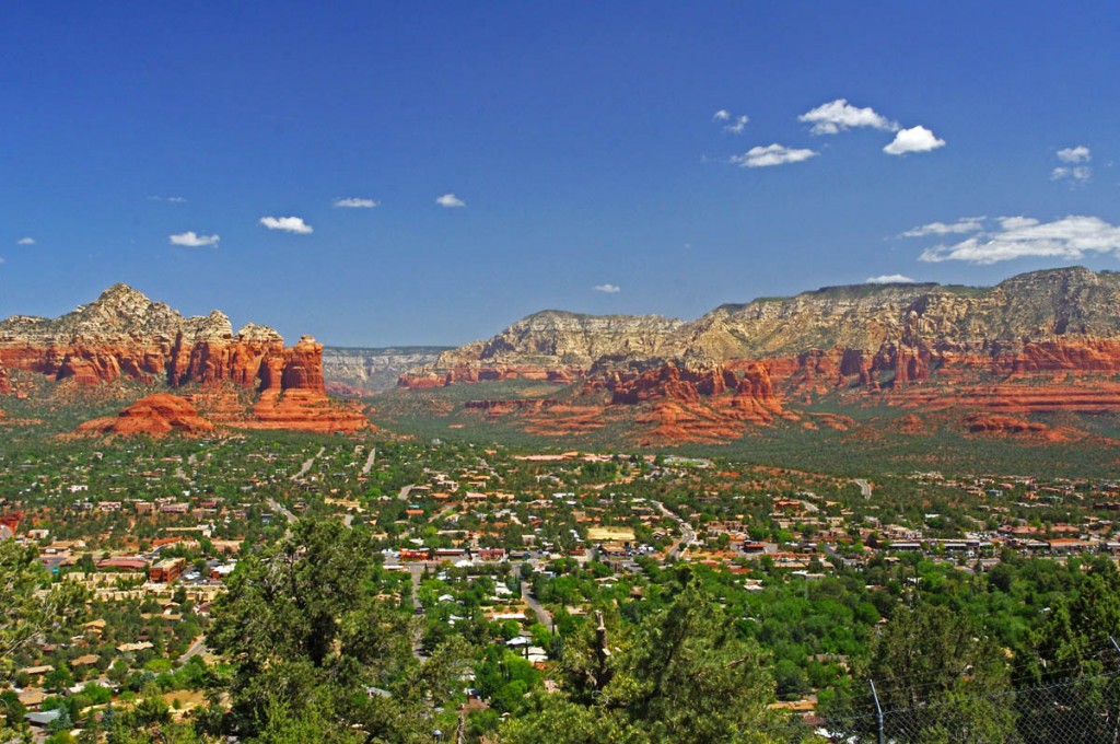
Motorcycle Rides in Arizona: Sedona, Scottsdale area - For one of the best overlooks of Sedona, ride up to the top of the mesa on Airport Road. Wow!
North of town, 89A follows Oak Creek Canyon along the river. The deep canyon is forested with tall pine trees that partially obscure the views of the towering cliff walls and you wind you way north. The road gets tighter and tighter than makes a dramatically step climb through a series of switchbacks to top the rim at over 6000 feet. it’s worth the ride to see and experience. Once atop the canyon, 89A continues to Flagstaff and connects to Route 66.
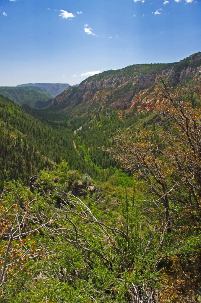
Motorcycle Rides in Arizona: Sedona, Scottsdale area - View from the rim of Oak Creek Canyon north of Sedona. Follow it into Flagstaff and connect to Route 66.
The easiest way to see the red rocks in all their splendor is to ride down Route 179 south from Sedona. I wouldn’t bother with the Red Rock Loop Road, it’s not as scenic as touted and there is an unpaved section near the middle – more effort than reward. Use the pullouts at the monuments for the nice views and don’t miss a ride up to the Chapel of the Holy Cross for some great views and photos.
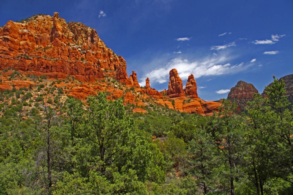
Motorcycle Rides in Arizona: Sedona, Scottsdale area - View from the Chapel of the Holy Cross just outside Sedona. A short drive with a nice view.
__________________________________________________________________
– Wayne Busch lives in Waynesville, NC, where he produces the most detailed and comprehensive and up-to-date motorcycle pocket maps of the Blue Ridge and Smoky Mountains to help you get the most of your vacation experience. See them here – AmericaRidesMaps.com
Wayne is an advanced motorcycle instructor for Total Rider Tech teaching Lee Parks Total Control Advanced Rider Courses. Isn’t it time you looked into advanced rider training to ride more confidently and safely? It can transform your mountain riding experience. Total Rider Tech
____________________________________________________________________


Heading to Scottsdale this October but very interested in 3-5 day Smokey mt routes
Scottsdale was a nice change. 3-5 days could include a run down the Parkway – Skyline Drive, or better yet, base out of the Smoky Mountain area and ride the wealth of roads you’ll find there. I usually steer visitors to Maggie Valley for lodging, lots available and the ideal base camp.
Great pics of your breathtaking trip.